MANDANGAD
TYPE : HILL FORT
DISTRICT : RATNAGIRI
HEIGHT : 1670 FEET
GRADE : EASY
In Ratnagiri district, near Dapoli, lies the town of Mandangad, which shares its name with the fort located there. Situated on a hill behind the town, the Mandangad Fort stands as a testament to its once-glorious history. Mandangad is considered one of the oldest forts in Ratnagiri. A road from the town’s bus stand leads directly to the fort's summit, making it easily accessible. The fort is fairly expansive and is divided into two hilltops. Located 1,200 feet above sea level, the fort spans approximately 22 acres. To the west lies a deep valley, and at the base of the hill is the village of Pale.
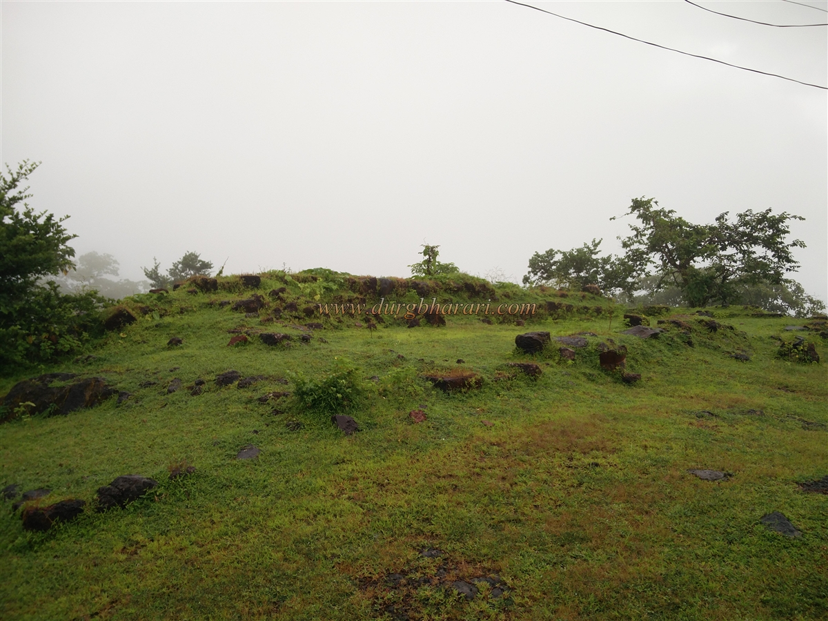
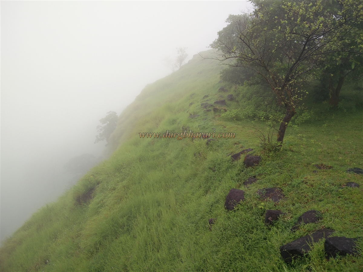
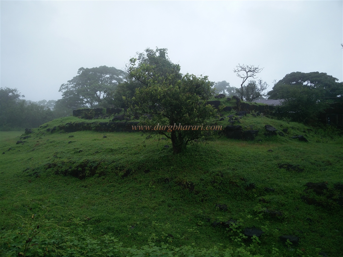
On the slightly elevated right-hand peak is a rock-cut water cistern, while the rest of the area is overgrown with shrubs. On the relatively flatter left-hand peak, some remains of fortifications still survive. Upon entering the fort via the motorable road, a sparse stretch of bastion greets the visitor.
...
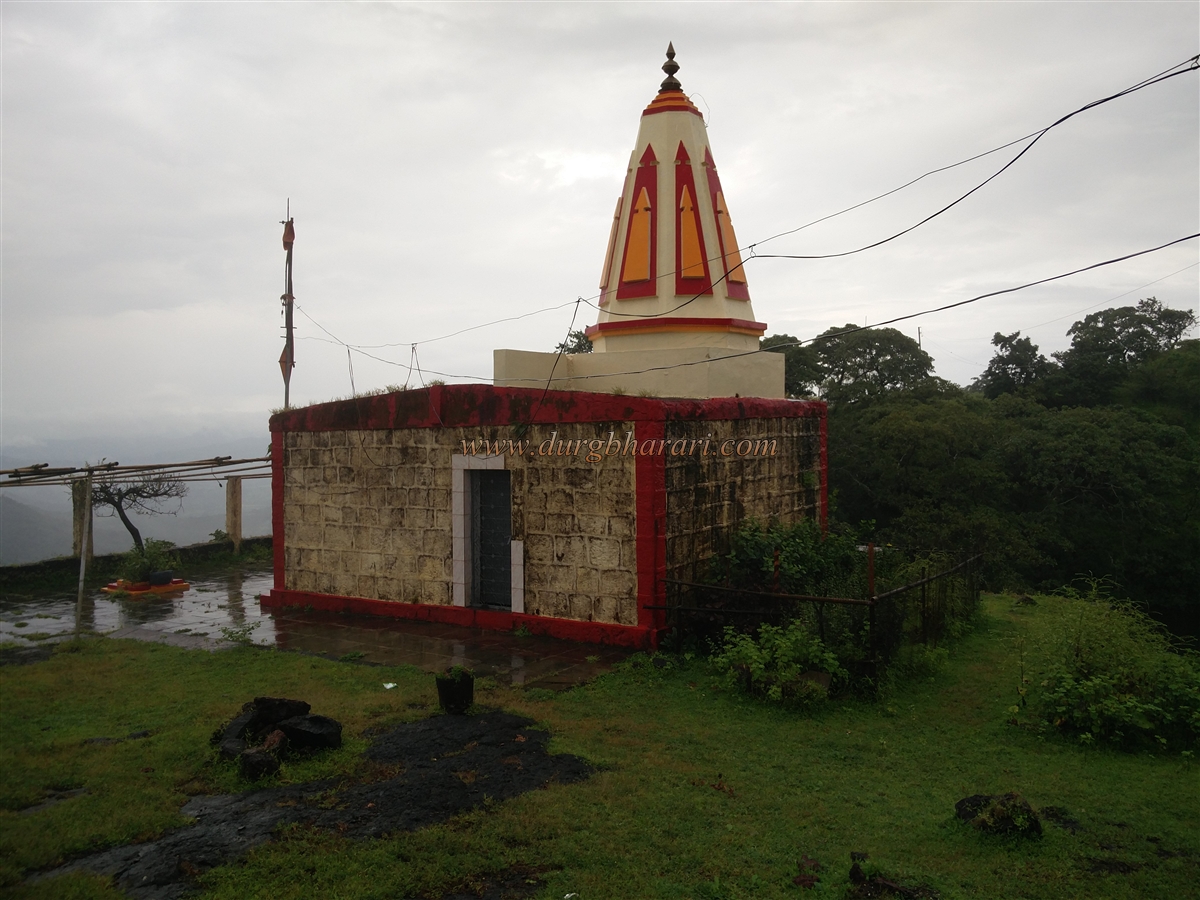
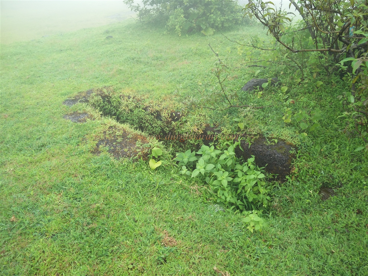
On the left side is a recently restored temple of Lord Ganesh. In front of the temple are remnants of a ruined structure, and behind it lies a large tank filled with water, carved into the rock and holding water throughout the year.
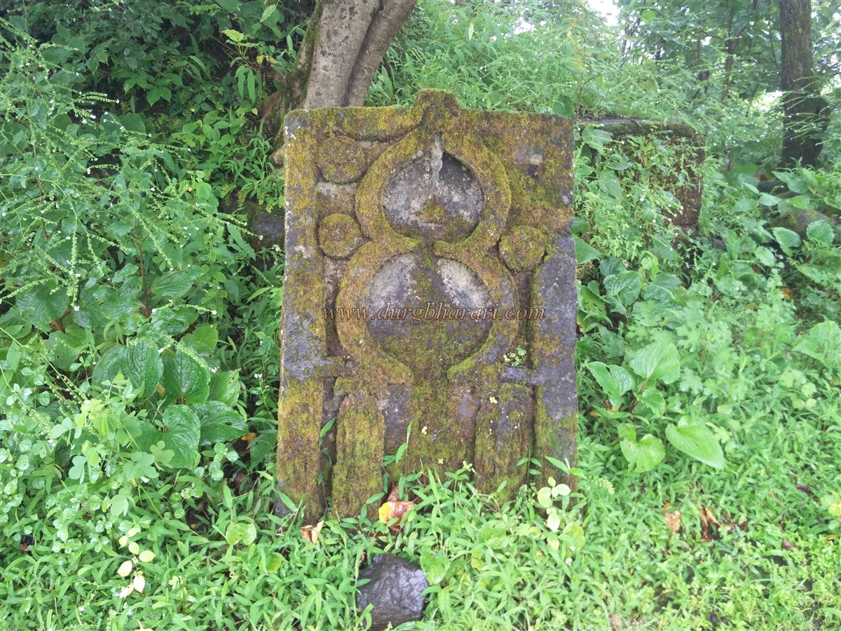
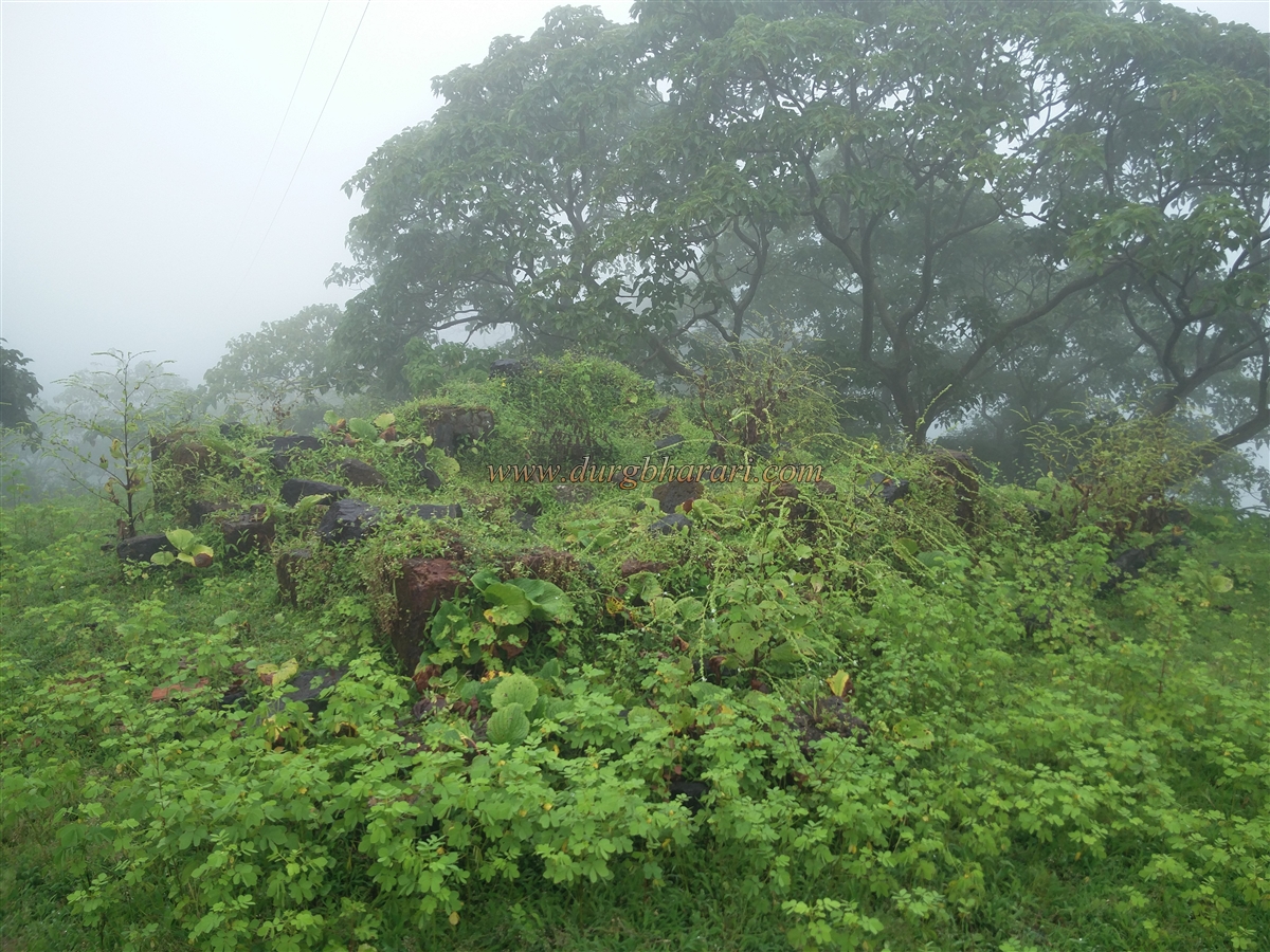
Continuing along the path, one sees a stone with a carved arch on the left and another large water tank on the right. A little further ahead, two tombs appear on the right side of the path. This route leads to the northern plateau of the fort, where most of the remains are located. Here, the foundations of the fort commander’s mansion can be seen, along with a partially buried basement. Adjacent to these remains is a well with perennial water. Across from the well, an 8-foot-long cannon rests on a platform. This cannon was discovered during excavation on the fort in 1994.
Within this inner section of the fort, a collapsed bastion is found, which likely served as a watch point over the forts interior. The widespread remains of structures and two large tanks suggest that the fort once supported a sizeable population. At the eastern edge of the fort, ruined ramparts and scattered carved stones are visible. Some parts of the fort’s rampart still survive. On returning along the same plateau, near the dried-up school building and beyond the water tank, one finds a memorial shrine (Samadhi) and a grain storage structure.
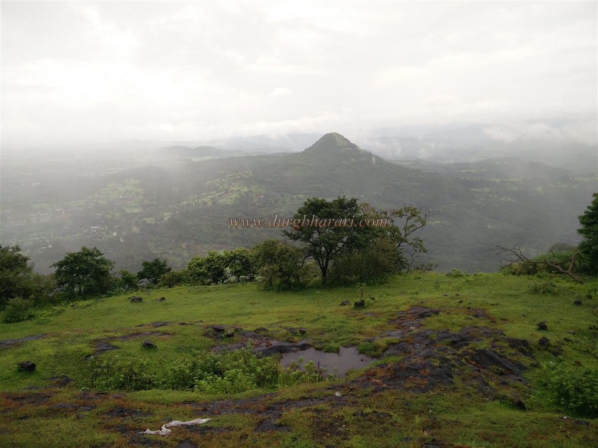
From the fort, on a clear day, one can view the Savitri River, Raigad Fort, and the Veranda Ghat region. Exploring the entire fort takes about two hours. In ancient times, trade was conducted using small sailing vessels. These vessels could travel far inland via rivers, where the calmer waters made loading and unloading goods much easier compared to the sea. The Savitri River meets the sea near Bankot, making it a viable trade route in ancient times. To safeguard this route, Mandangad and Bankot forts were built in the 12th century during the reign of King Bhoj, who ruled the Kolhapur province.
During the Adilshahi rule of Bijapur, the fort underwent restoration. In 1661, the fort was held by Jaswantrao Dalvi, a Sardar of the Adilshahi. When Shivaji Maharaj was trapped in Panhala, Dalvi had laid siege to Vishalgad. After defeating Kartalab Khan at Umberkhind, Shivaji Maharaj headed toward Dabhol. Upon hearing of his approach, Jaswantrao Dalvi abandoned Mandangad and his territory and fled to Shringarpur. As a result, the fort came under Shivaji Maharaj’s control without a fight.
Later, the fort was briefly controlled by the Siddhis and then by the Angre. In 1818, like other forts in the Konkan region, it fell into British hands. Mandangad, the taluka headquarters, is located about 4 kilometres from the fort. It can be reached from the Mumbai-Goa highway via the Toll Phata near Mahad and then through Ambit–Mhapan route to Mandangad.
© Suresh Nimbalkar
GALLERY