MANDAKINI PARVAT
TYPE : HILL
DISTRICT : PALGHAR
HEIGHT : 850 FEET
GRADE : MEDIUM
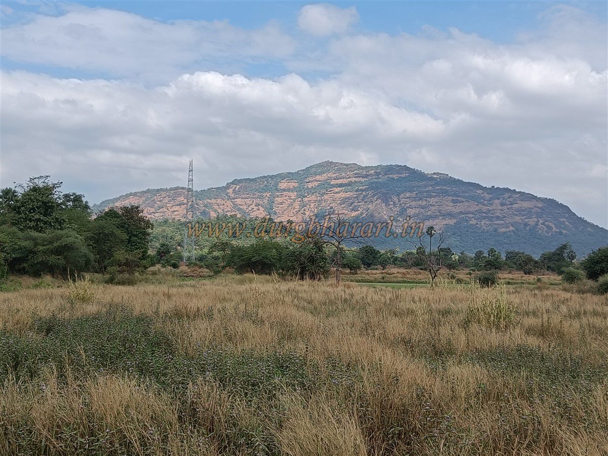
Many hills in Maharashtra have temples dedicated to deities, and in some places, these hills have been named as forts. Originally, a “gad” (fort) refers to a fortified location or a military outpost on a hill. However, nowadays, any hill with some remnants or structures is often indiscriminately referred to as a "gad". Especially locations with temples are more likely to be called forts, even without historical or military significance. In recent times, if any kind of structure or ruins are spotted on a hill, it is prematurely labelled as a fort without thorough verification. One such example is the hill known as Mandakini Parvat near Vajreshwari. This is not a fort but simply a hill, and the purpose of this article is to clarify this misconception.
...
Mandakini Parvat falls under the jurisdiction of Kelthan village along the road going to Akloli on the Vajreshwari route. Fort enthusiasts should understand that this is not a fort or stronghold of any kind, but a natural cave site with a water cistern formed due to stone extraction. Despite having no historical or documented evidence of ever being a fort, some hobbyists in recent times have started referring to it as one. Nowhere in history is there any mention of such a fort, yet baseless legends are being associated with the hill.
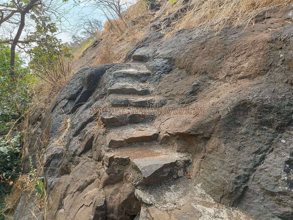
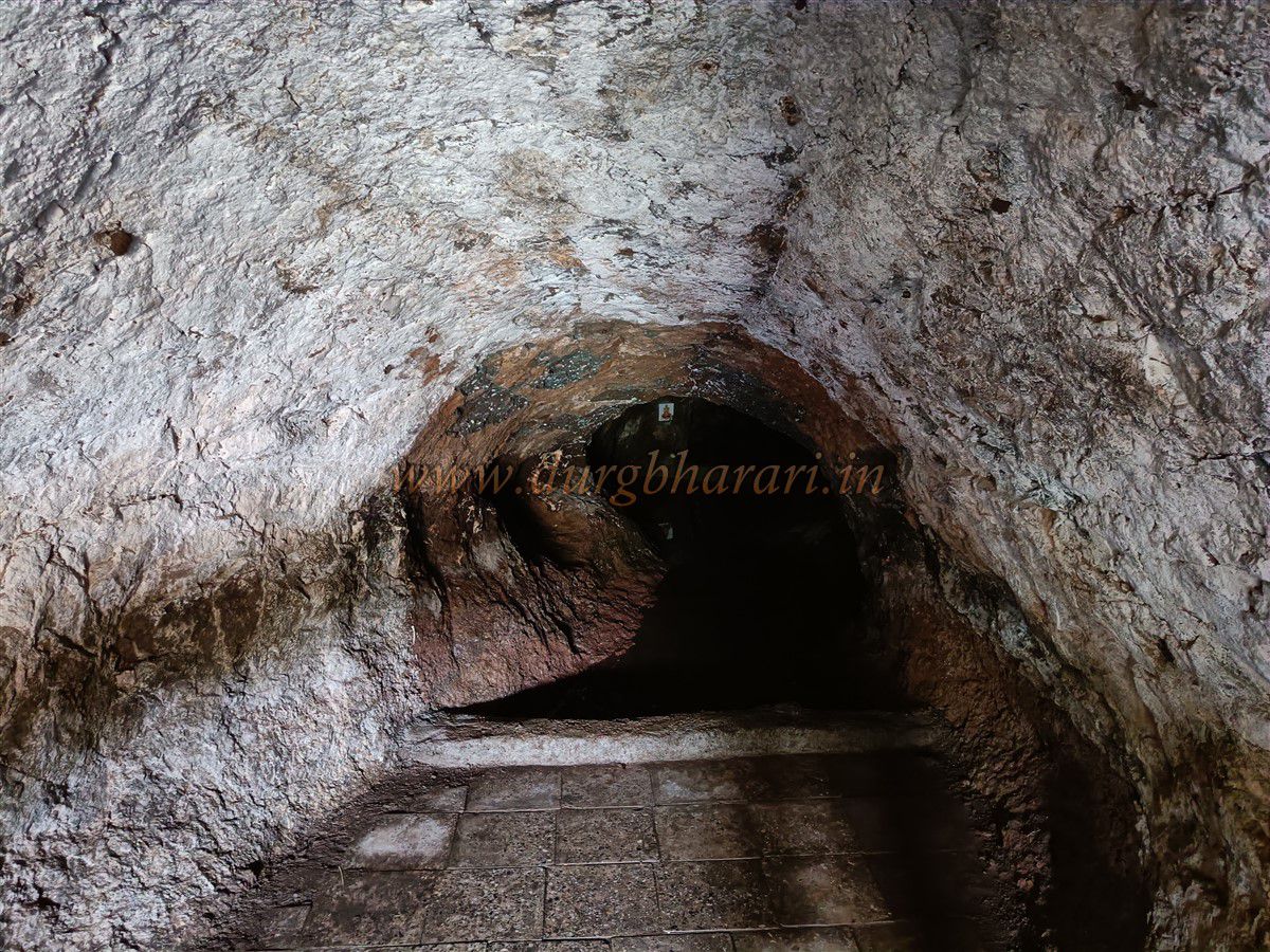
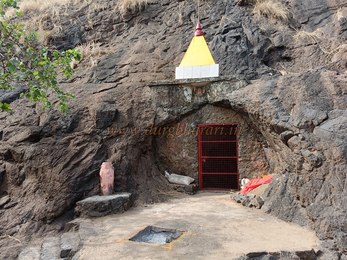
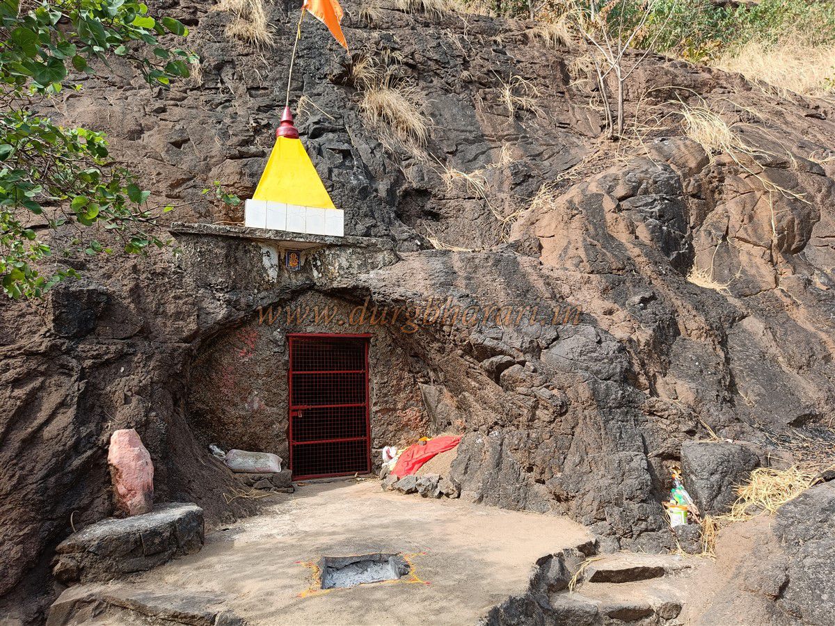
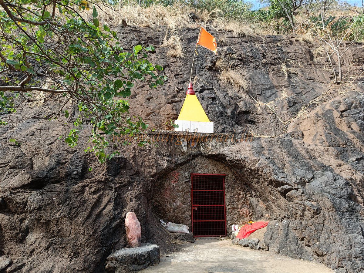
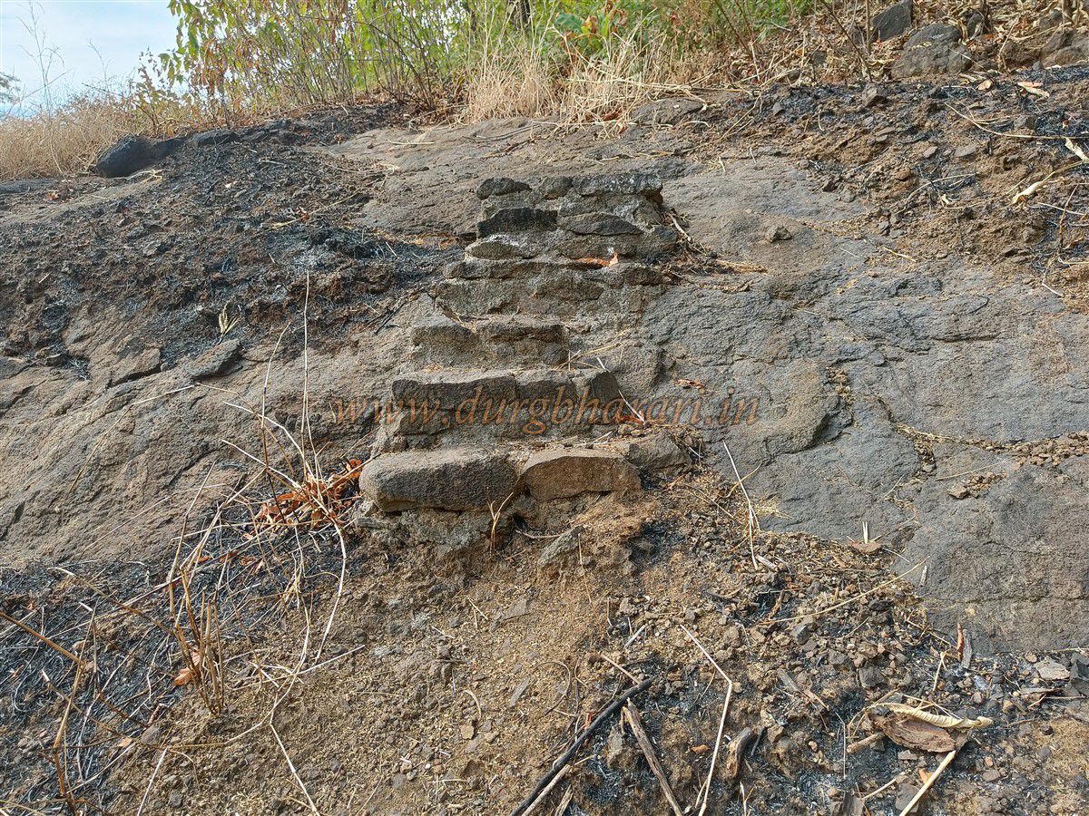
This hill, located near Akloli which is famous for its hot water springs near Vajreshwari, is around 20 km from Bhiwandi and 30 km from Virar. A clearly marked trail from the village leads to the hill. Once you cross a stream and start walking along the path, there’s little chance of getting lost. After ascending the ridge of the hill, the path turns to the right, and a little ahead, it veers left and begins descending toward the valley. On this descent, 10–12 steps were built in recent times. Descending these steps brings you to a naturally carved cave in the crevice.
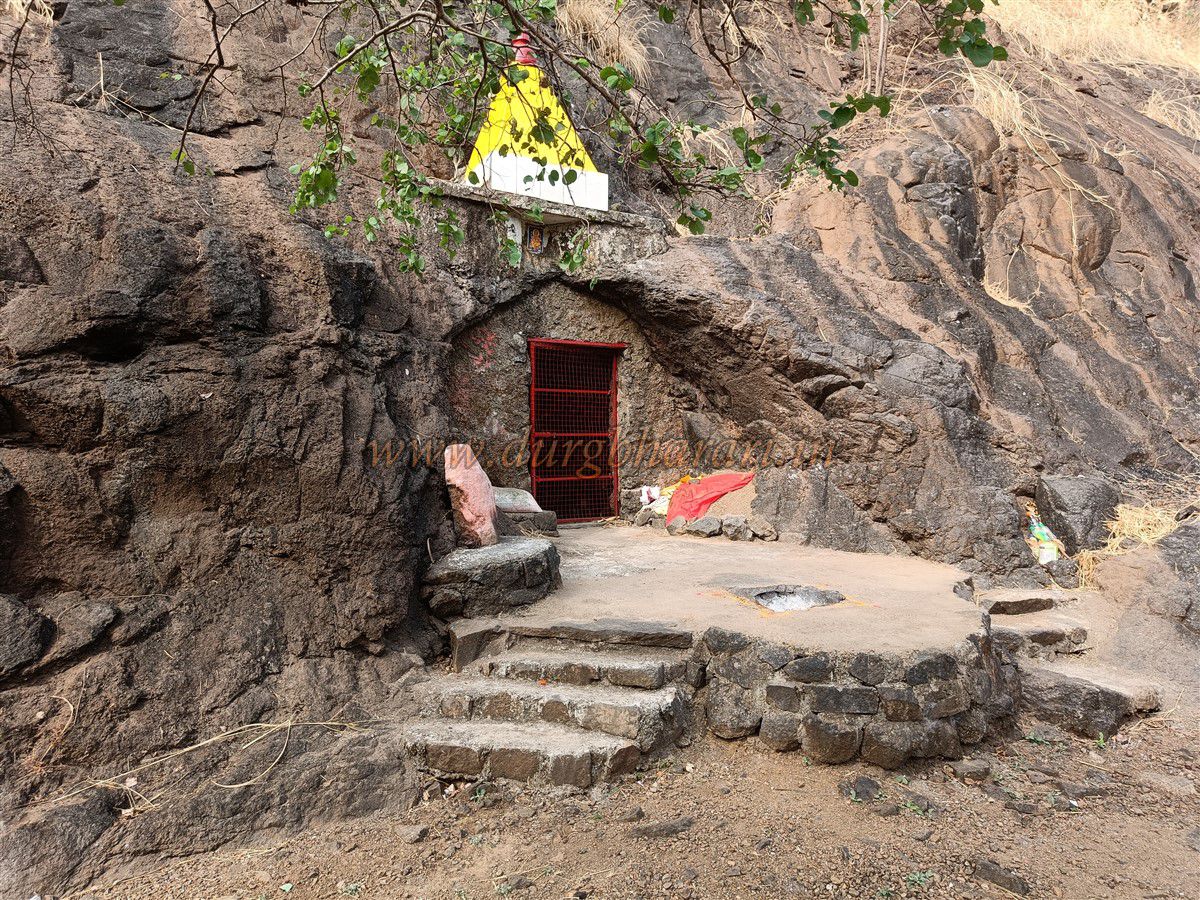
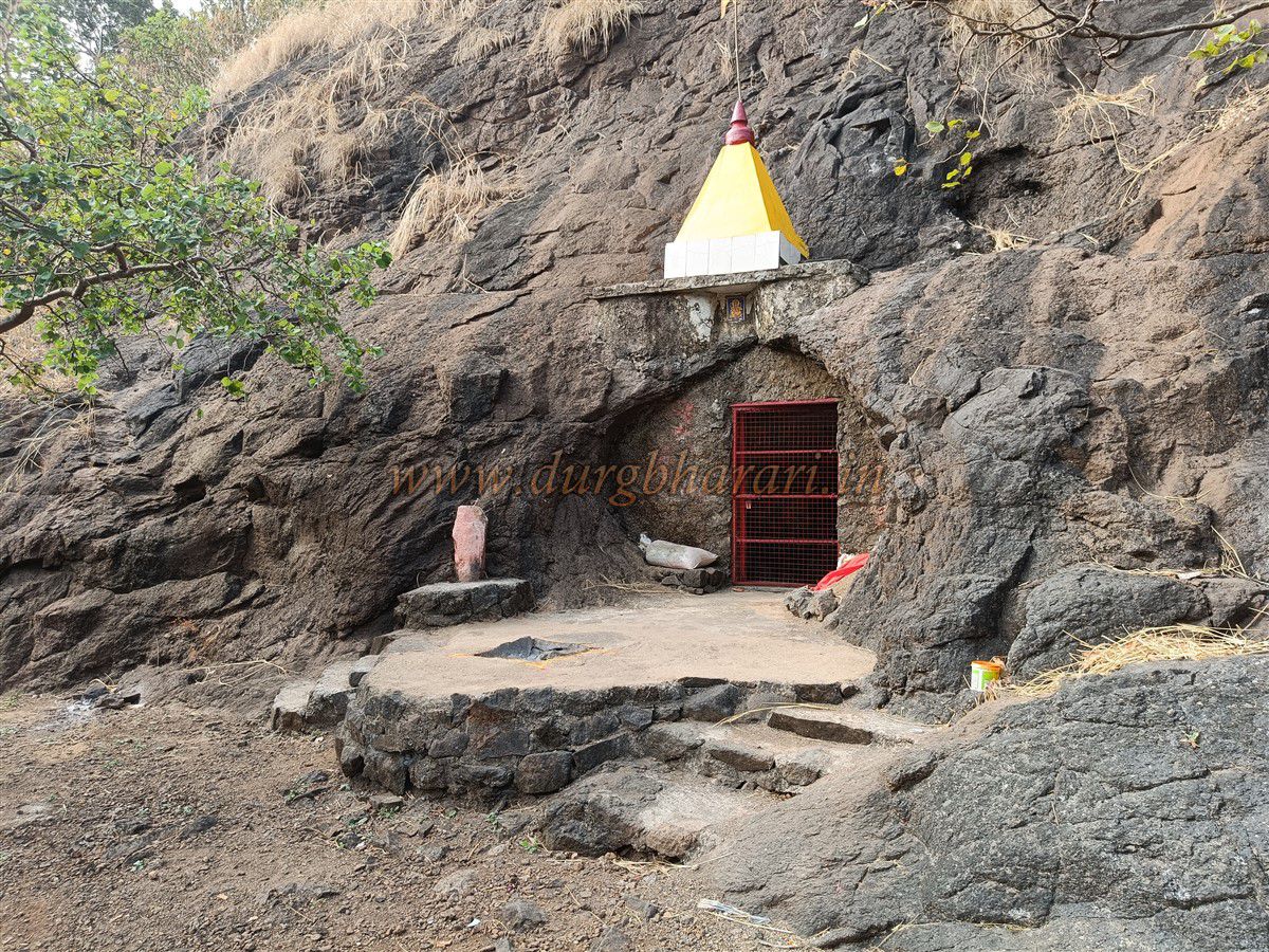
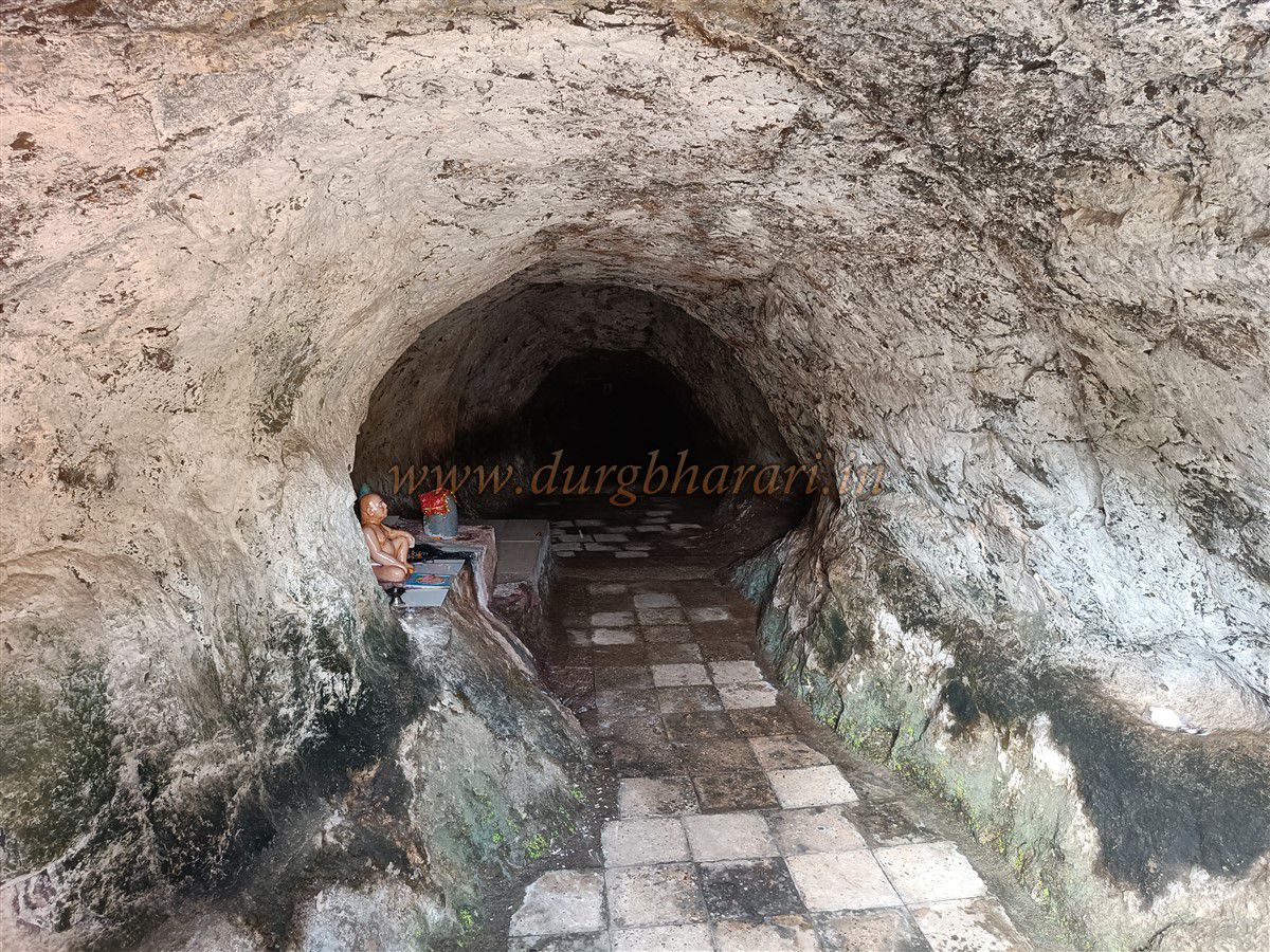
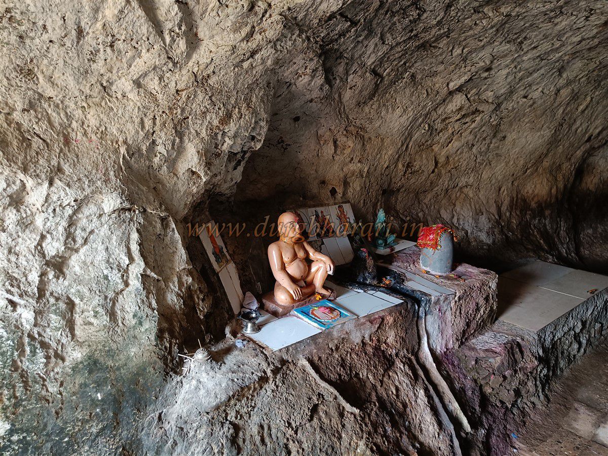
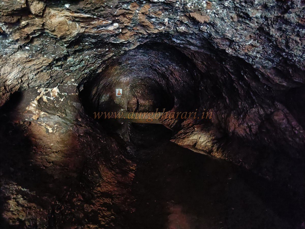
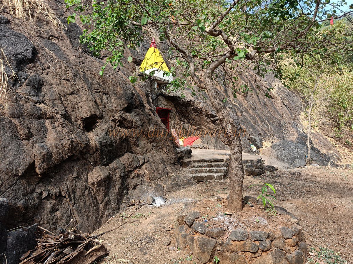
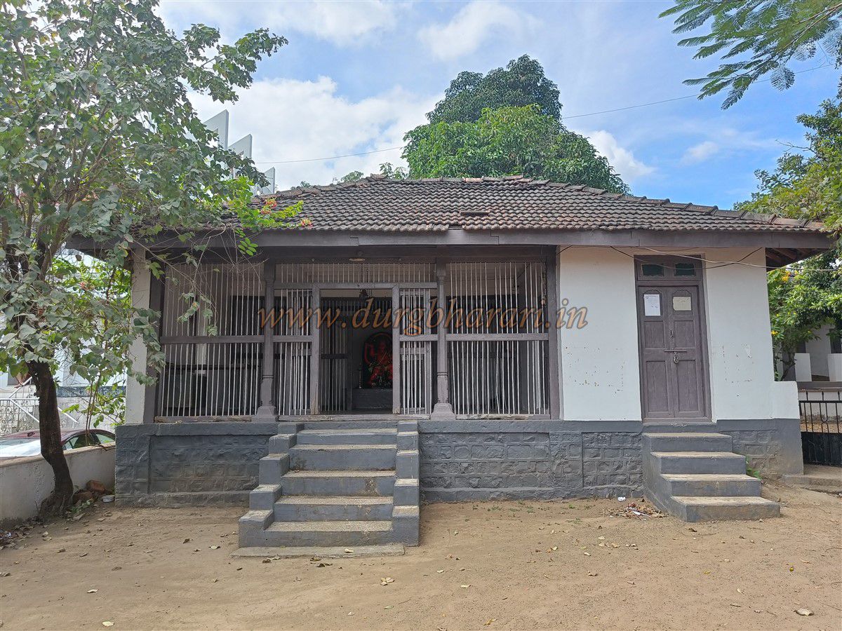
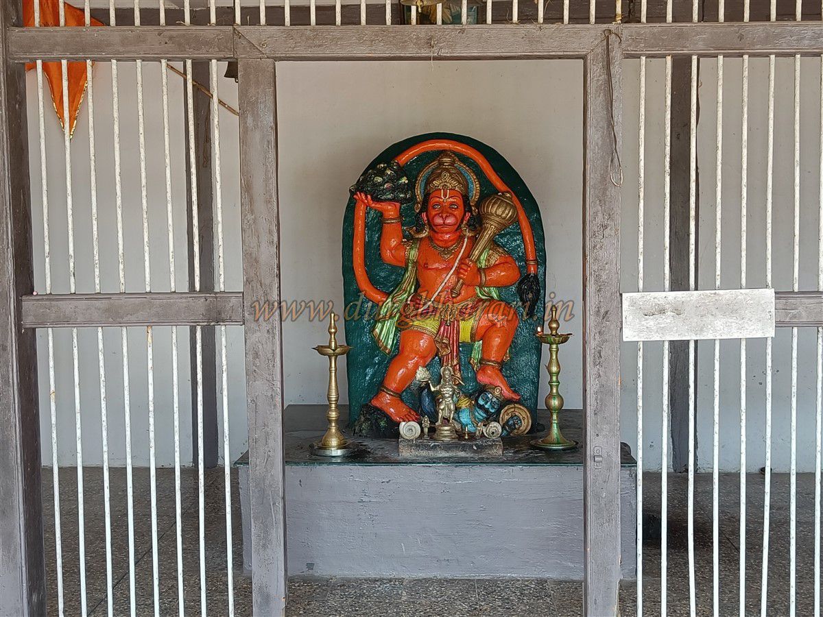
To prevent wild animals from entering, the cave's entrance has been walled and fitted with an iron gate. This cave, approximately 50 feet long, tapers inward. Water seeping from the hill accumulates here and remains potable until about March. At the beginning of the cave, idols of Nityanand Swami and a Shiva Linga have been placed. Locals refer to this cave as the Devdar Cave.
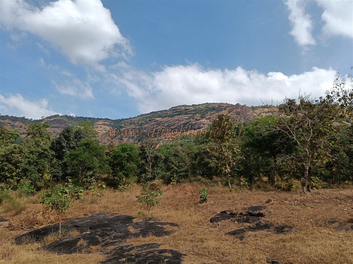
The other part of the hill lies in front of the cave. After climbing a slope on the opposite side, you reach a small flat area where a few squared stones are scattered. Walking straight from here toward the other end of the hill, one finds small rock-cut cisterns. The stones extracted while carving the cisterns have been stacked along their edges. There are no signs of any fortification or defensive structures on the hill. Being one of the taller hills in the area, the view from the top is expansive, but no fort-like constructions or protective architecture are present.
Although the vast visibility from the top highlights the hill's geographical significance, there is no fort here. Starting early in the morning, half a day is sufficient to explore Mandakini hill.
Note – This is simply a hill with a natural cave and a water cistern. It is incorrect to refer to it as a fort.
© Suresh Nimbalkar
GALLERY