MANCHANA
TYPE : HILL FORT
DISTRICT : NASHIK
HEIGHT : 3700 FEET
GRADE : MEDIUM
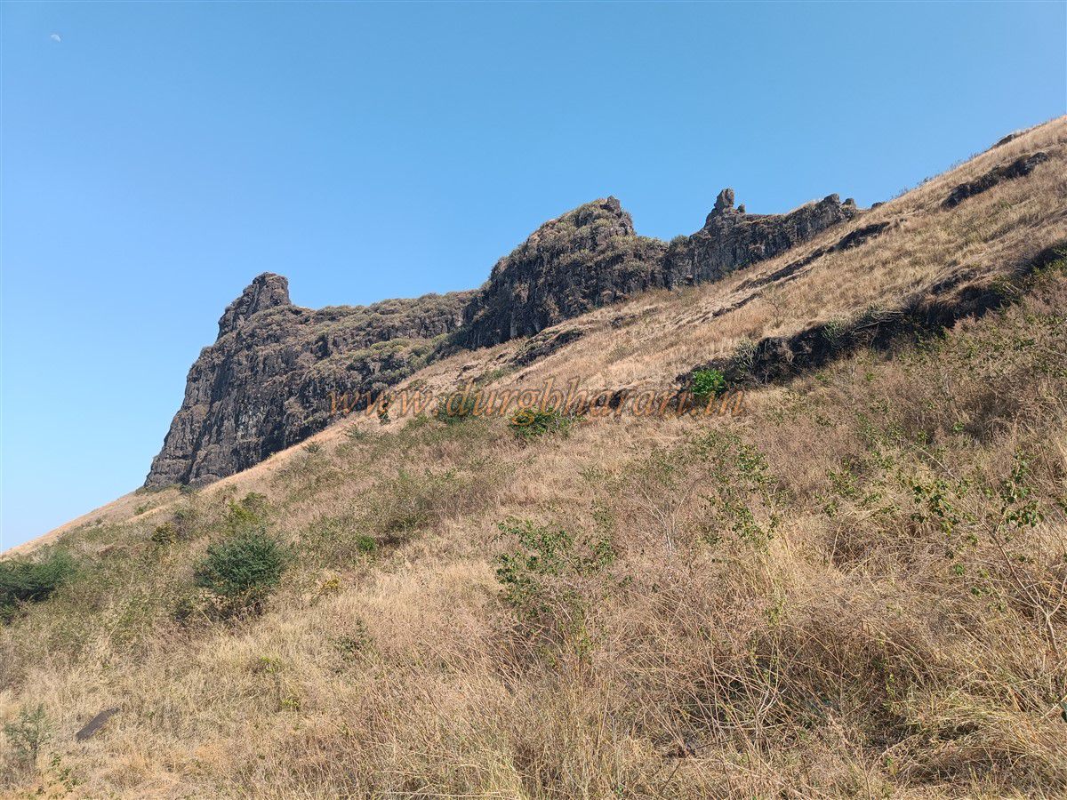
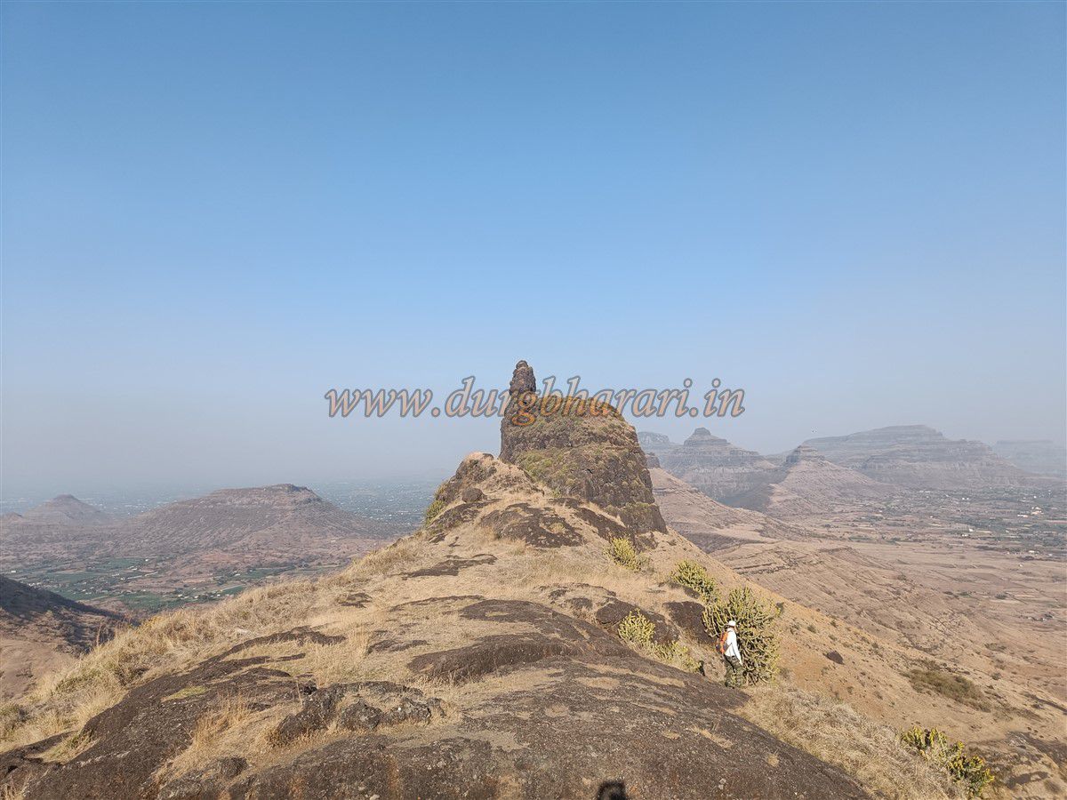
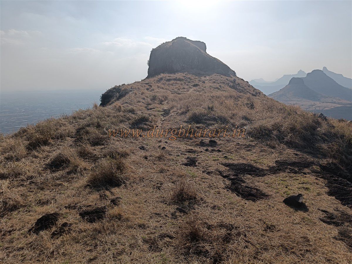
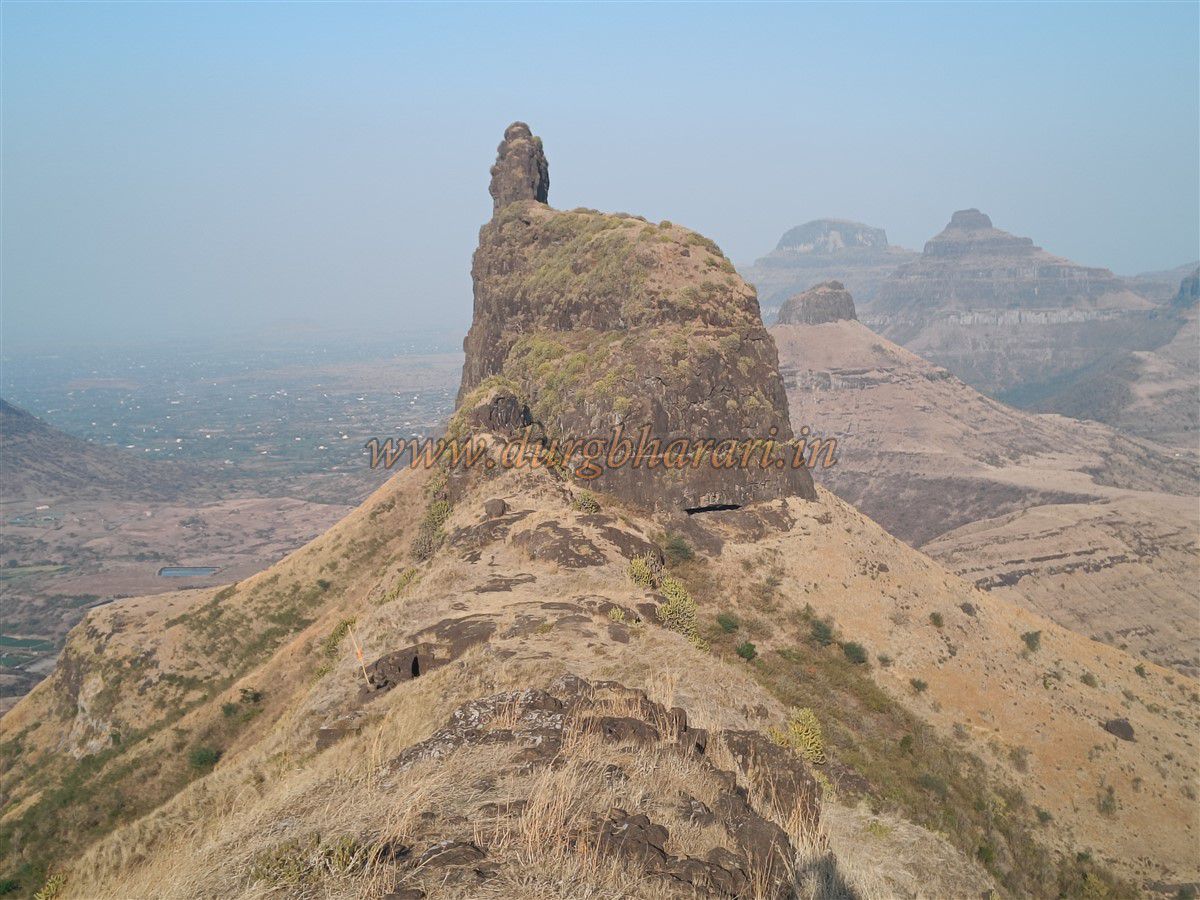
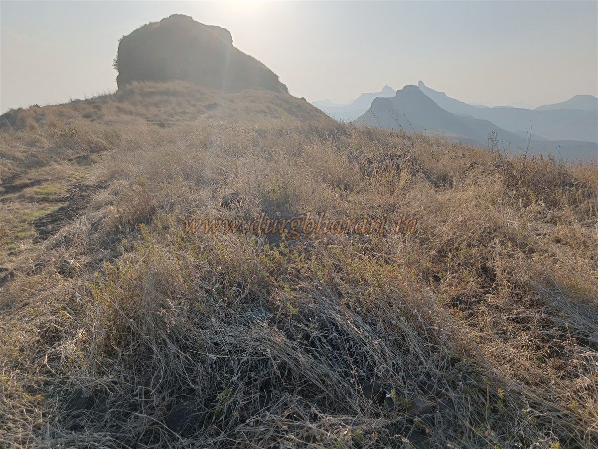
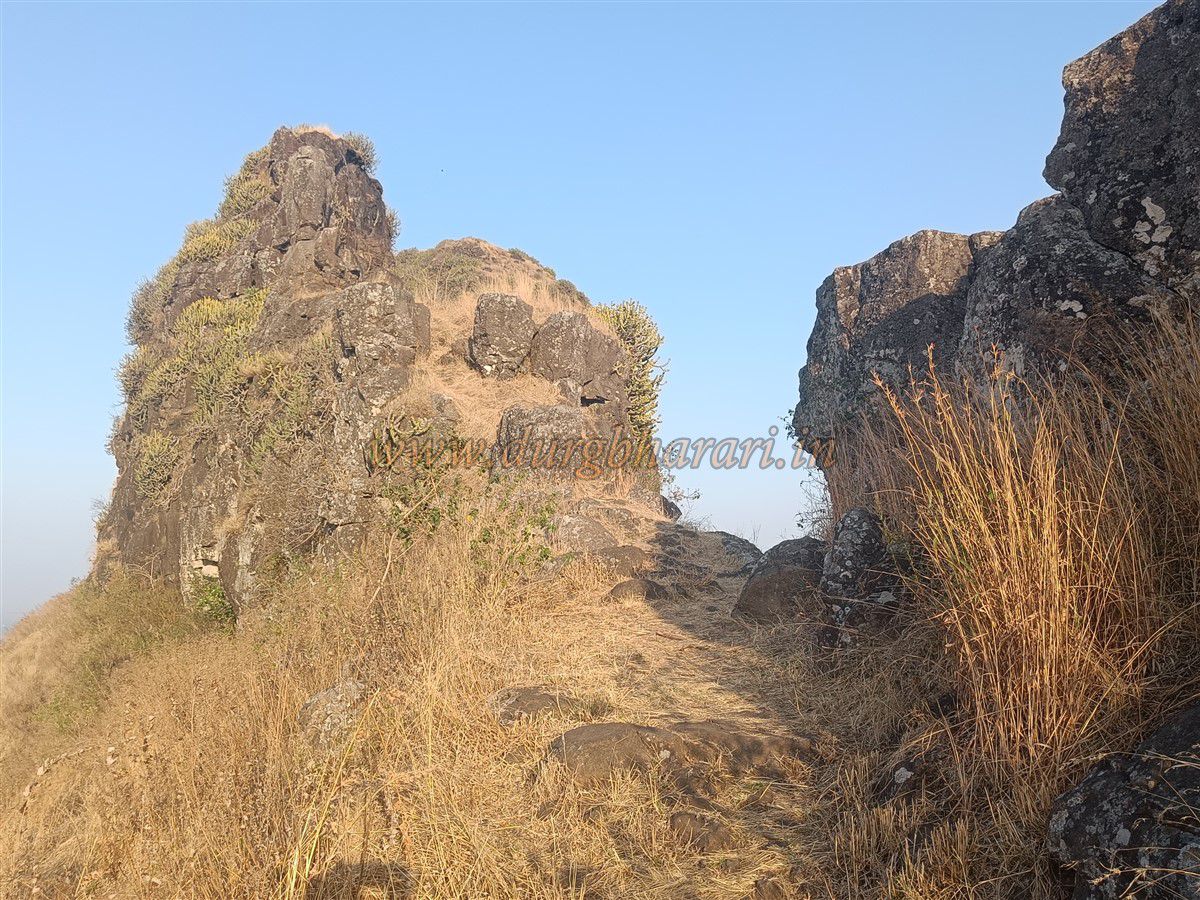
One of the important battles personally led by Chhatrapati Shivaji Maharaj was the Battle of Kanchanbari. While returning after the second raid on Surat, the Maratha army encountered the Mughals near Kanchanbari, where the Marathas inflicted a crushing defeat upon them. This confrontation, fought on an open battlefield on enemy territory, became famously known as the Battle of Kanchanbari or the conflict of Vani-Dindori. However, the forts that bore witness to this battle—Kanchan and Manchan—remain relatively unknown and overlooked. Since both these forts lie on a single hill range, some consider them one and the same, while others regard them as twin forts. Despite being on the same hill, a central pinnacle between them creates two distinct passes, separating the forts physically and geographically. Due to separate routes leading to each of them from different directions, it is appropriate to refer to them as two independent forts. The second fort among them is Manchan, located in Deola Taluka, approximately 100 kilometres from Nashik city and 14 kilometres from the taluka headquarters.
...
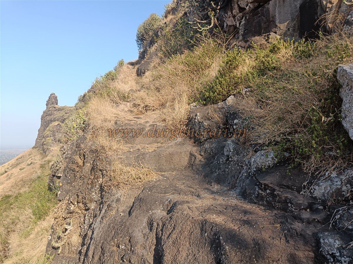
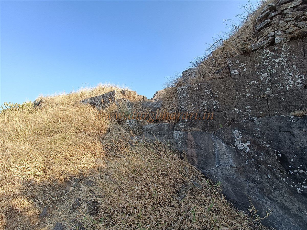
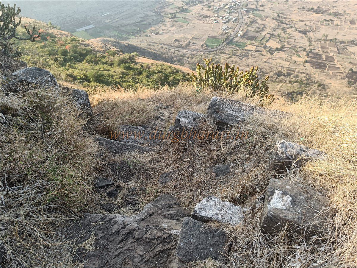
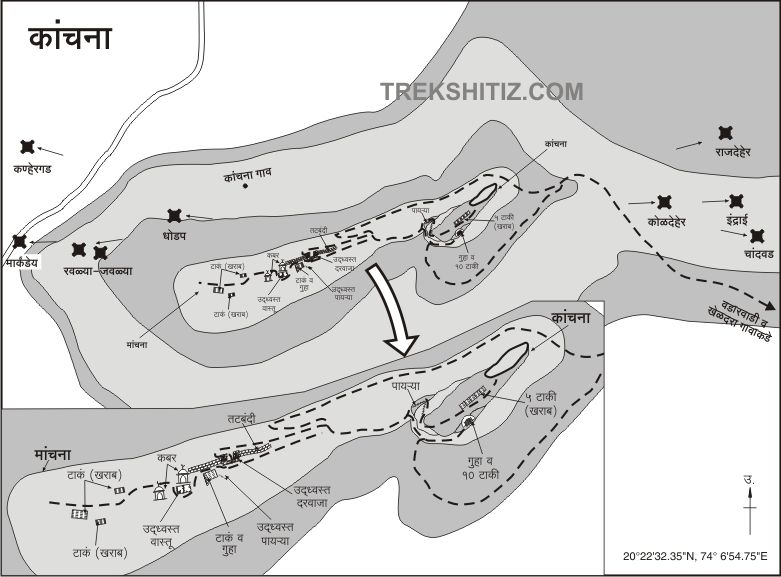
There are two routes to reach Manchan Fort. The first begins from the northern base of Kanchan-Manchan Forts at Kanchane village. This path, steep and slippery with loose soil, directly leads to the base of Manchan Fort. The second route lies on the southern side of the fort. Traveling from Kanchane village, one must cross the Kanchanbari (pass) and take the left road leading toward Kheldari village, which lies 6 kilometres ahead. About 1,000 feet along this road, a dirt path can be seen turning toward the Kanchan-Manchan forts. After traveling 1 kilometre on this rough track, it sharply turns right. At this bend is a farm hut, and from here, a trail leads toward the fort. Keeping the hill on the left side, one reaches the base of Kanchan Fort. From there, skirting the central pinnacle to the left brings one to the base of Manchan Fort. Compared to the direct path from Kanchane village to the base of Manchan Fort, this route is easier but more time-consuming. Ascending by one route and descending by the other allows both forts to be explored with less time and effort. Both paths feature rock-cut steps in certain sections.
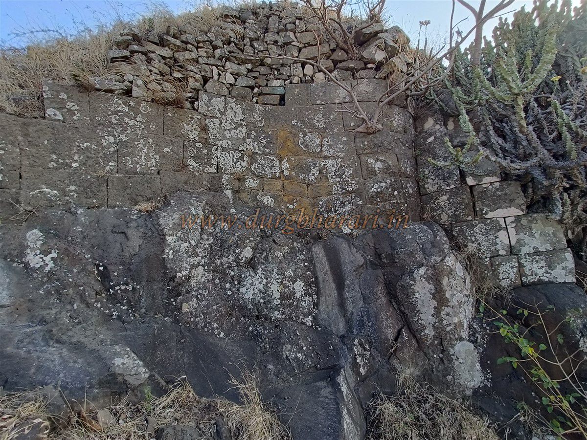
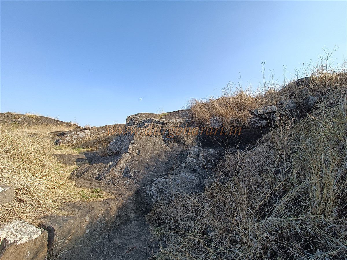
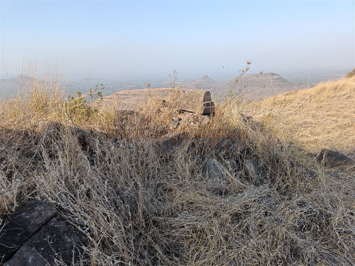
Starting the ascent from Kanchane village on the north side, it takes about an hour to reach the base of the Manchan Fort pinnacle. Upon reaching the base via this route, a left turn leads to the rock-cut steps to the fort top. After walking for around two minutes, these 20–22 rock-cut steps appear, leading to the remains of a north-facing arched entrance constructed with dressed stone. Some part of the adjacent fortification still exists. The narrow summit of the fort lies at an altitude of 3,700 feet above sea level and stretches east to west across approximately 1.5 acres. The fort area to the left of the entrance is extremely narrow, and from its edge, there is a clear view of Kanchan Fort and its pinnacle. Due to the narrowness, no remnants are found here. The area to the right of the entrance, i.e., westward, is relatively broader and contains most of the fort’s remnants.
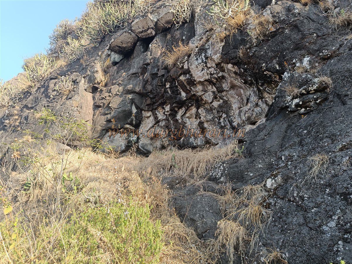
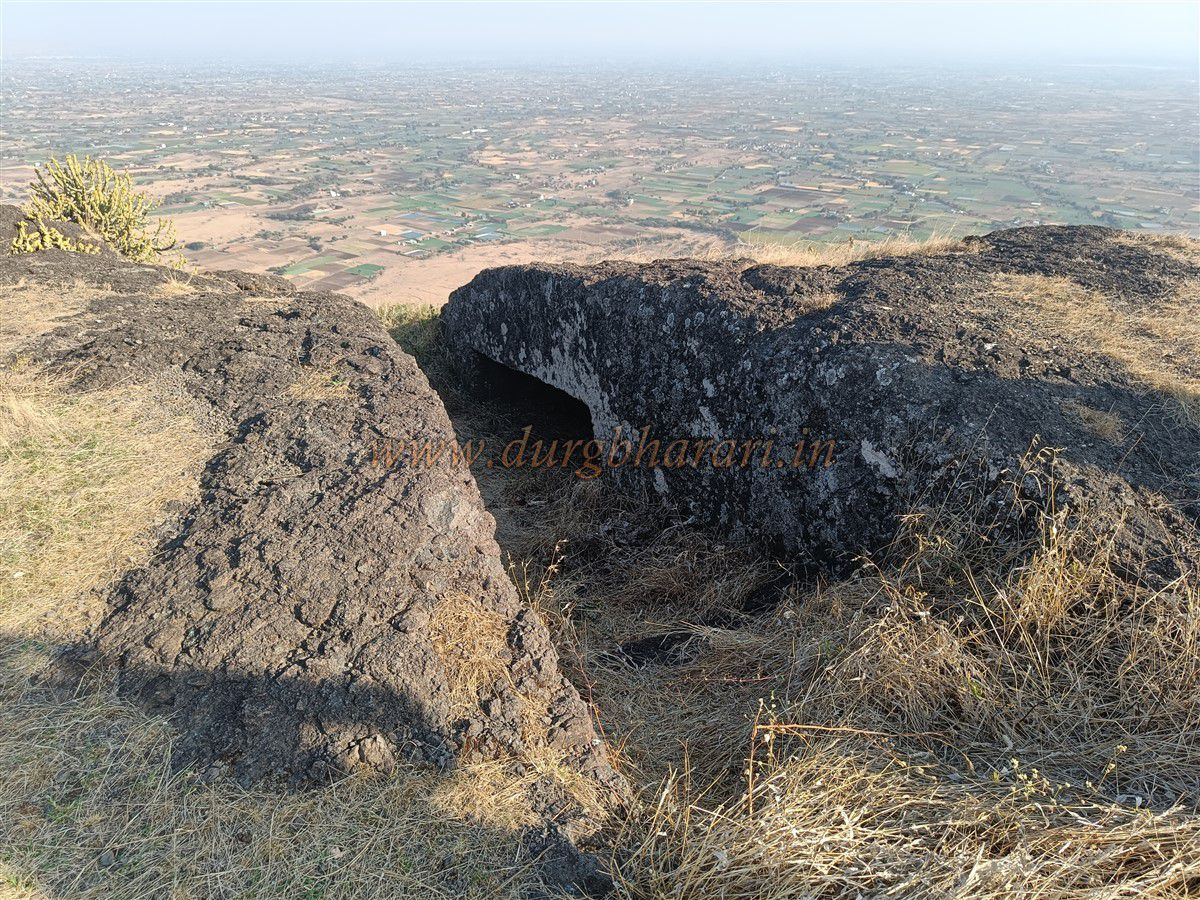
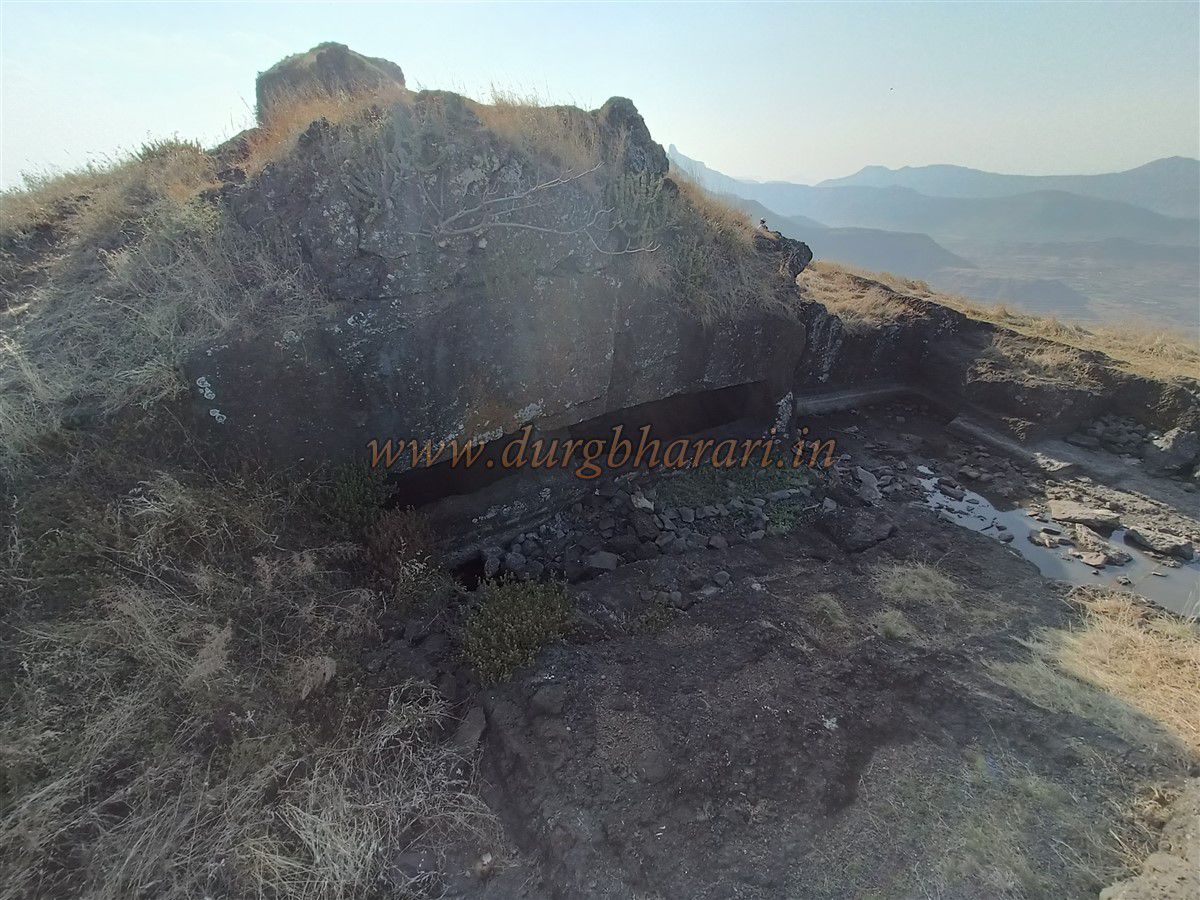
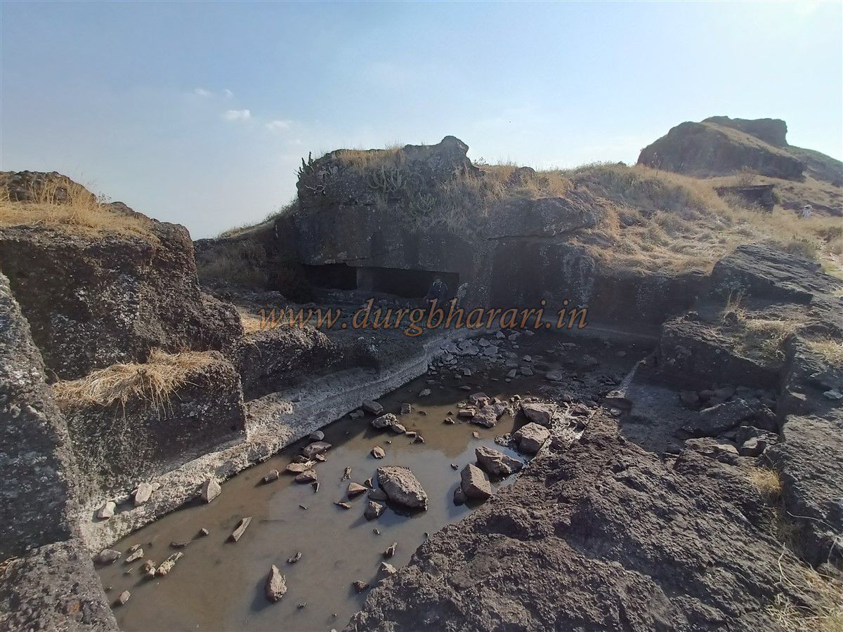
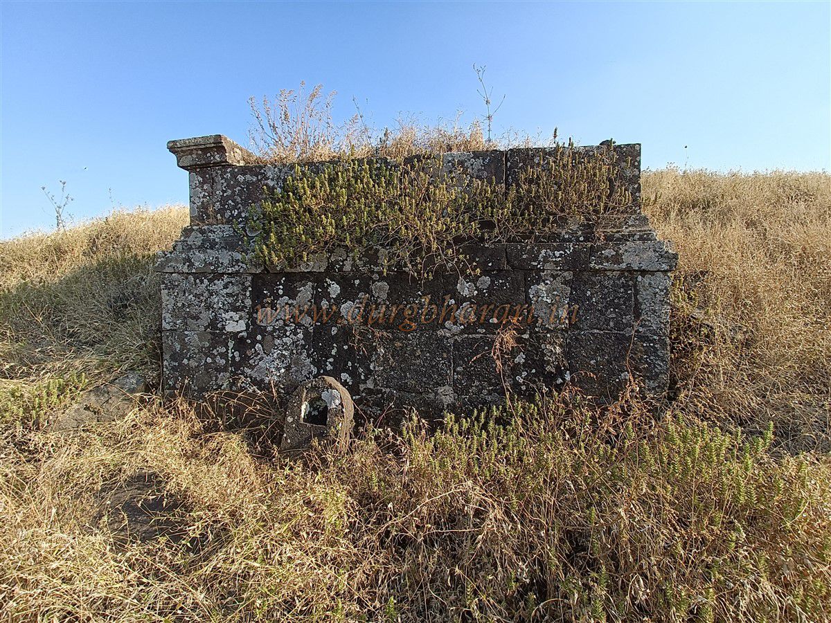
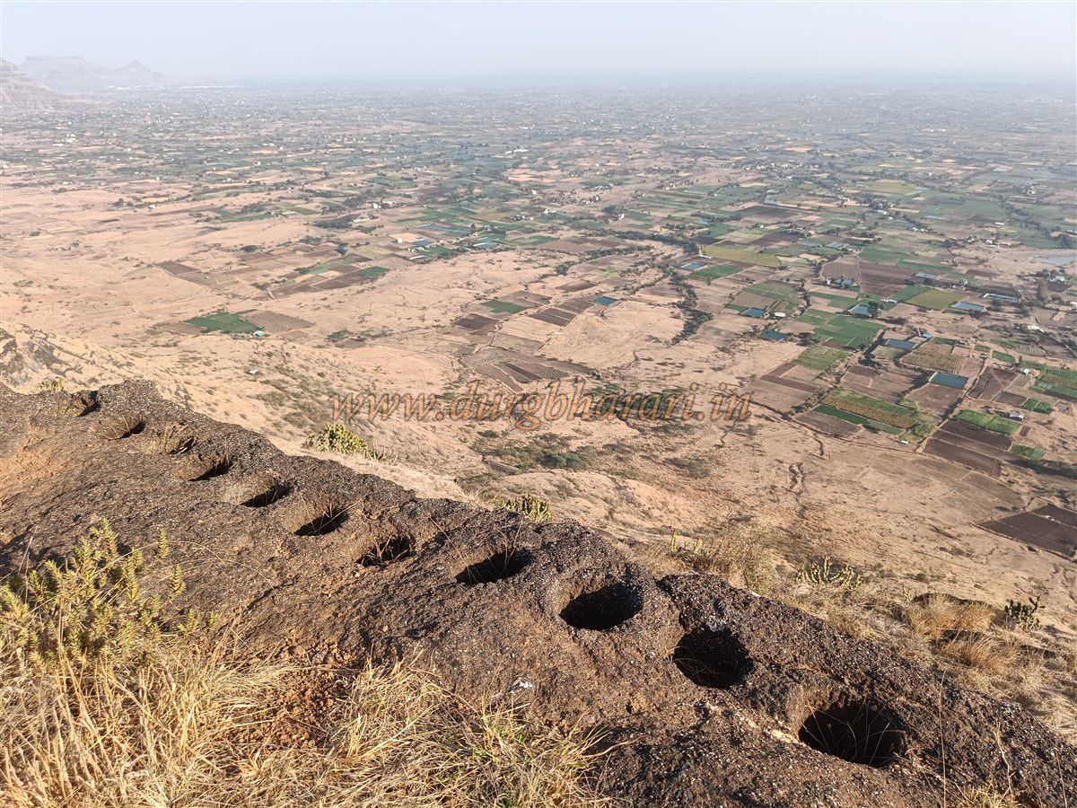
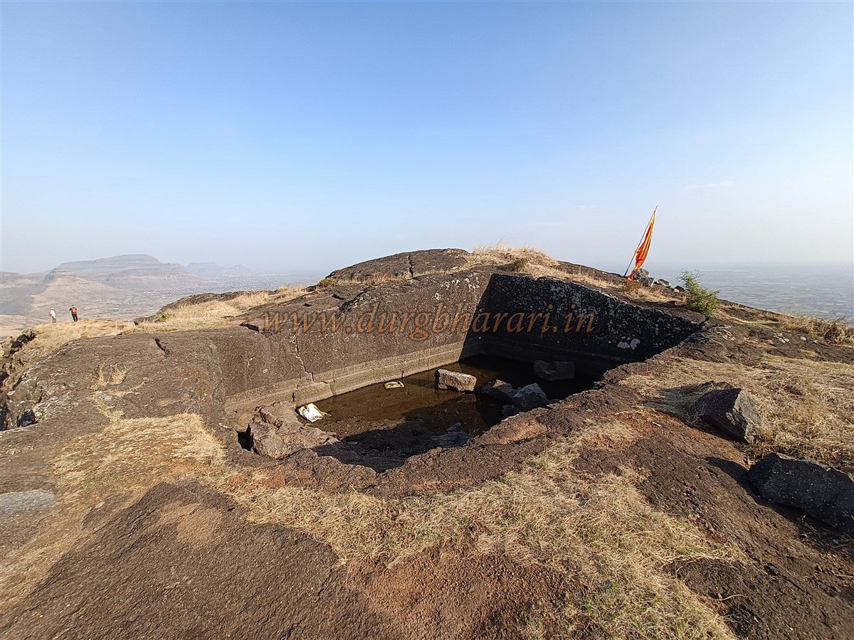
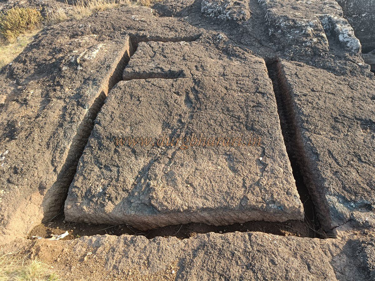
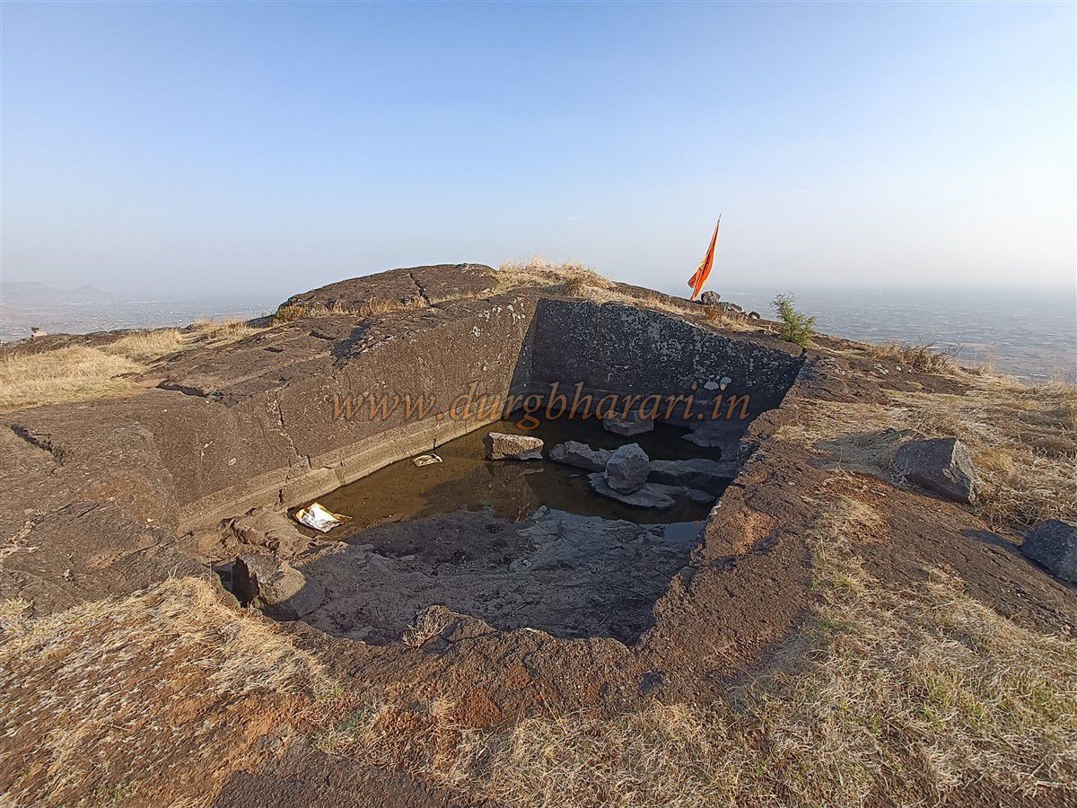
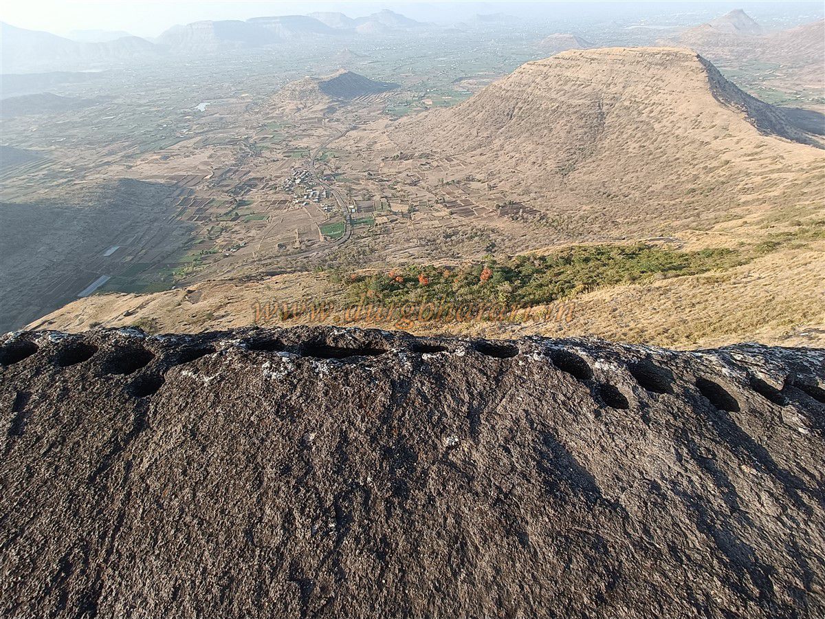
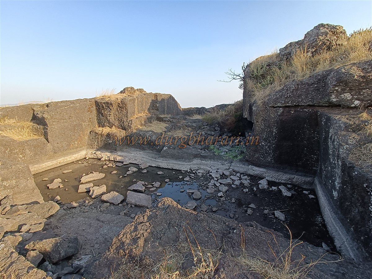
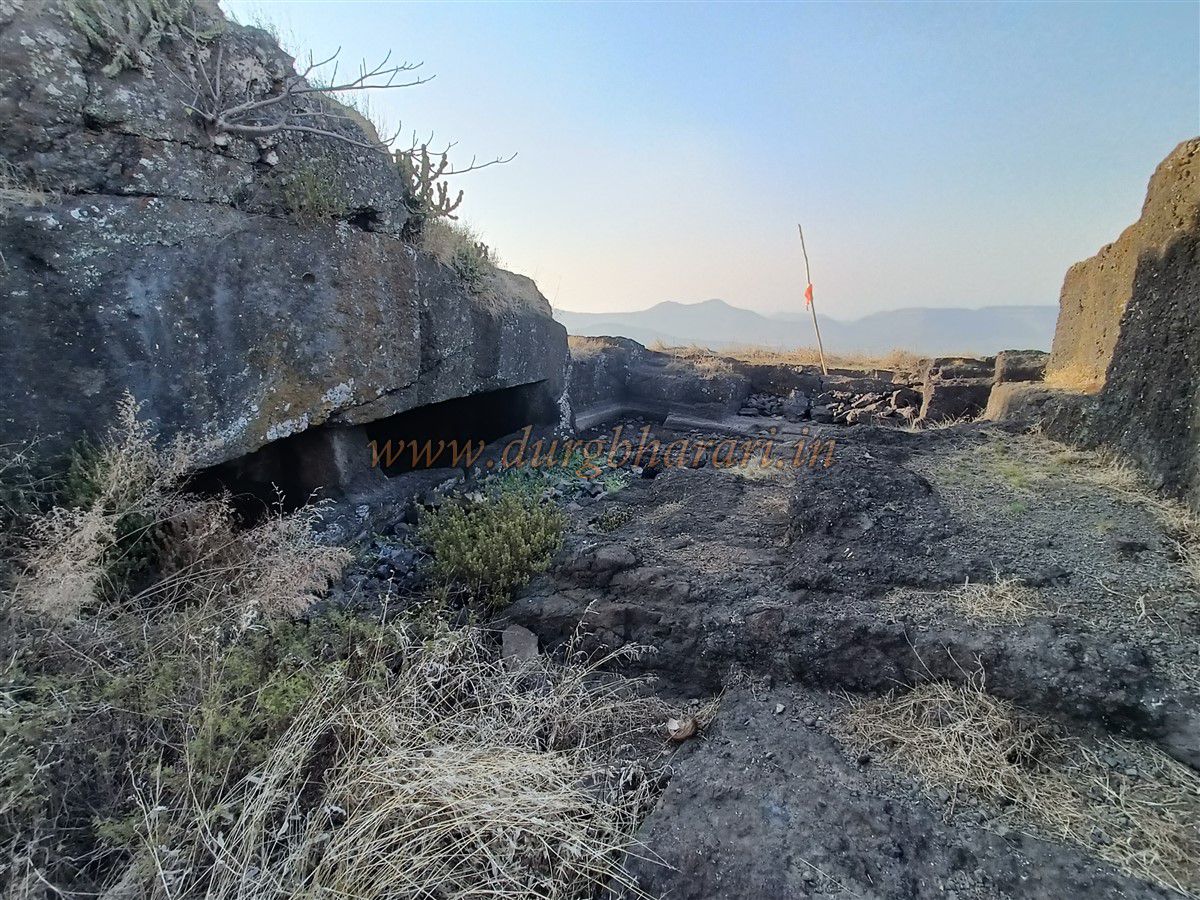
As one begins to explore the fort, an ancient rock-cut path from the north becomes visible to the left, which includes a small cave possibly used by guards. The current northern entrance may have been constructed after the earlier one collapsed due to time or other reasons. A large excavation, probably used for sourcing building stone, now forms a cistern on the fort, which has two cave-like tanks within it. The next section of the fort has two elevated mounds. On the first mound is a stone-built shrine and a ruined platform. The neatly dressed stone shrine is built on a pedestal with a niche for a lamp. The nearby ruined platform is significantly damaged. Several plinths of destroyed structures are scattered across this area. Along the cliff edge, numerous rock-cut holes were likely used for stone extraction. Further along the second elevation, there is a large rock-cut water tank, but its water is not potable. Next to it are signs of an attempt to dig another tank. On both sides of the cliff in this area, more holes for rock extraction are seen. From the summit, one can easily view Dhodap, Rajdher, Koldher, and Indrai forts.
As the fort lacks drinking water, visitors must descend to the base of Kanchan Fort to refill. After seeing the tanks and returning to the ruined entrance, the fort visit concludes. It takes about an hour to explore the summit thoroughly. After viewing Manchan Fort from Kanchane village, one can proceed to Kanchan Fort by skirting the adjacent pinnacle to the right. In Western Maharashtra, the term "Khind" is commonly used for a mountain pass, whereas in Baglan and Khandesh, the same is called a "Bari." It is believed that Kanchan and Manchan forts were built in ancient times to control trade along the Kanchanbari route between the two hills.
In October 1670, after Shivaji Maharaj’s second raid on Surat, while returning toward Rajgad, Mughal commander Daud Khan Qureshi pursued him from Burhanpur. As Baglan was under Mughal control at the time, it was necessary for the Marathas to cross the Satmala range to return to Swaraj, increasing the chances of encountering Mughal forces. Shivaji Maharaj then split his army, sending the loot ahead with 2,000 soldiers while he stayed behind with 10,000 Mavlas. Daud Khan and Ikhlas Khan, leading a force of 15,000 troops, reached the Kanchanbari area. On the morning of October 17, 1670, the battle began. Shivaji Maharaj himself led this direct confrontation—the first such open battle of its kind. The six-hour-long conflict saw Maratha leaders like Prataprao Gujar, Moropant Pingle, Anand Rao, and Bhikaji Datto lead ferocious attacks on the Mughals, killing nearly 3,000 enemy soldiers and achieving a decisive victory. This swift victory over a large force in direct battle earned the Battle of Kanchanbari a prominent place in history. Since the exact site of the battle remains uncertain, some historical sources refer to it as the Battle of Vani-Dindori.
This victory instilled great confidence among the Marathas, proving that they could defeat the Mughals even in open-field confrontations. After this battle, Maharaj moved toward Kunjargad. The Mughal Subhedar of Dindori, Siddi Hilal, joined the Marathas. In the following period, many forts in the area were integrated into Swaraj. In June 1818, the British took control of this fort.
© Suresh Nimbalkar
GALLERY