MAHIPALGAD
TYPE : HILL FORT
DISTRICT : KOLHAPUR
HEIGHT : 3215 FEET
GRADE : EASY
Even today in Maharashtra, there are forts that remain inaccessible due to their remote geographic location. The routes leading to these forts are difficult and pass through dense forests, which is why these forts are still rarely visited by trekkers and fort enthusiasts. The forts located in the forested region around the Koyna Dam and within the nearby tiger reserve have almost lost their existence due to the thick jungles around them. Jungli Jaygad, Makrandgad, and Mahimandangad are some such examples. However, a fort must be visited, no matter how hidden it is. Mahimandangad is one such remote fort lost in the dense forest.
Located in the Javali taluka of Satara district, the most convenient route to reach this fort, surprisingly, begins from Khed in Ratnagiri district. While traveling on the Mumbai-Goa highway toward Chiplun, after Bharne Naka, one reaches Shirgaon-Khopi Phata.
...
From the villages of Shirgaon and Khopi, one can reach Metshindi—the base village of Mahimandangad—via the Raghuveer Ghat. A private vehicle is the best option for reaching here. Apart from that, there is a government bus from Khed Bus Stand at 5 PM that reaches Araw village, which is ahead of Metshindi. This bus returns from there at 7 AM the next morning.
The Ghat road is not in regular use and is suitable for a jeep-like vehicle. The distance from Khed to Khopi is 20 km, and the Ghat section is another 15 km. near the pass on the Ratnagiri-Satara border, there's a 2 km stretch of rough mud road, after which the road is paved. Alternatively, one can reach this region by boat from Bamnoli or Tapola, but the ever-changing water level affects boat service, and the landing point changes daily. So, this route isn’t convenient either. Another route is to reach Ambivali near Khed, climb the Chakdev hill, descend again, and then proceed to Mahimandangad—but this is a full-day, extremely exhausting route.
Once at the ridge-top pass via Raghuveer Ghat, there is a forest department check post. Since Mahimandangad falls under forest department jurisdiction, one must pay an entry fee per person and per vehicle. From here, a rough road descends with two bends for about 500 feet, after which, on the right side, there's a foot trail going uphill. Apart from a small directional arrow carved into the rock, there are no other markers. While paying the entry fee, we suggested that the forest department install a signboard here, and they assured us they would do so soon—though who knows when?
The forest officers warned us about the possible presence of bison or bears and advised us to move cautiously. From Metshindi village, the twin peaks of the fort can be seen clearly. When heading to the fort from this village, one first crosses a stone bridge, and after two bends, a trail to the left ascends the hill. Ten minutes into the climb, one reaches a memorial built on a lower flat area. This intricately carved Samadhi (memorial) built in dressed stone has a tulsi-Vrindavan (basil shrine) on top, designed to hold a small oil lamp. Judging by its structure, it might belong to a great warrior, but currently, his identity remains unknown.
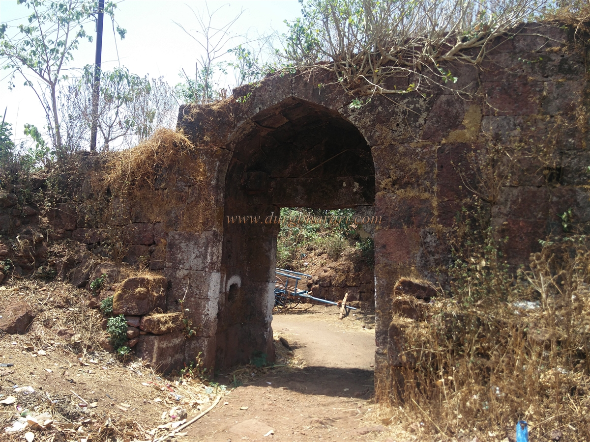
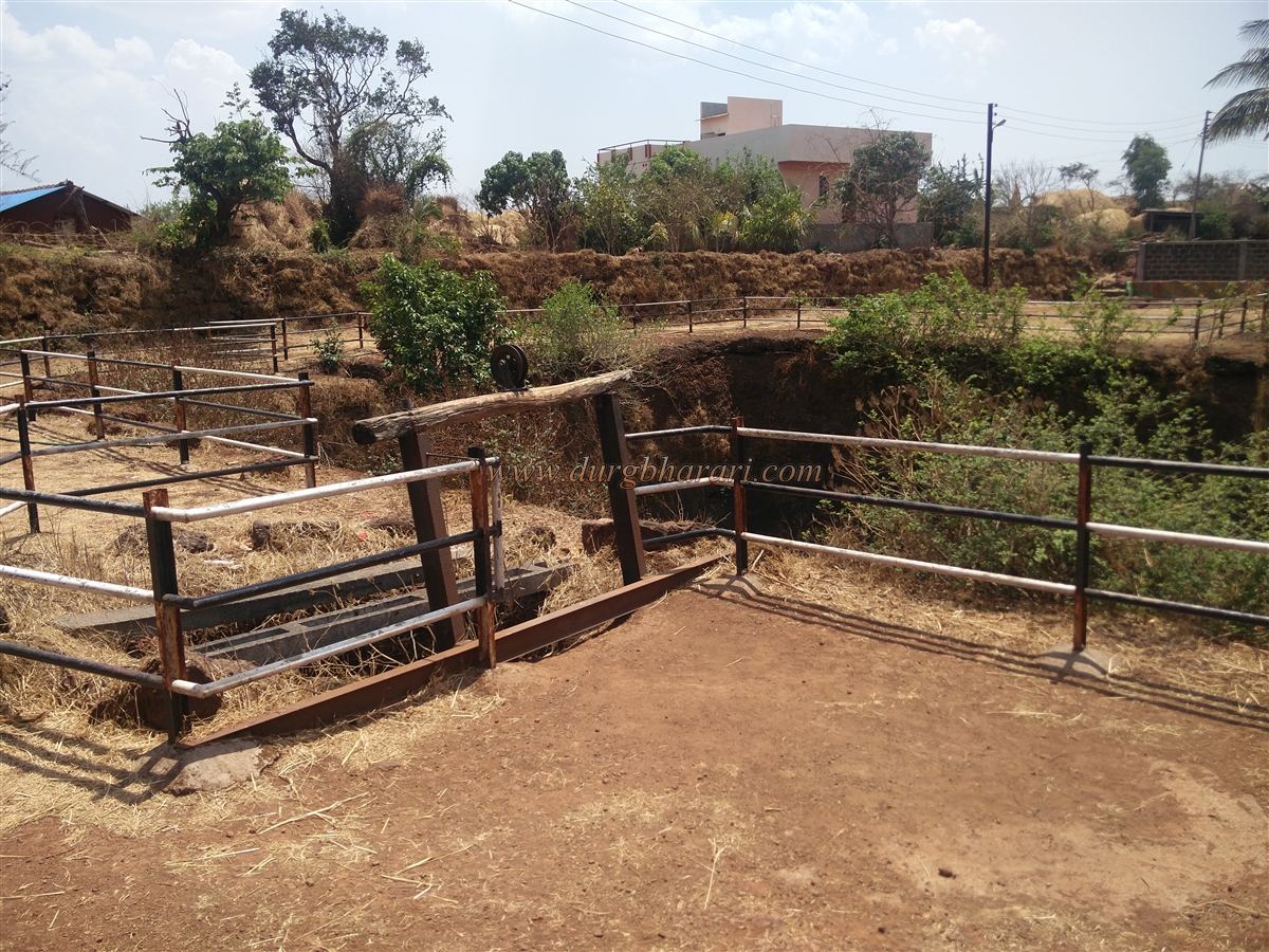
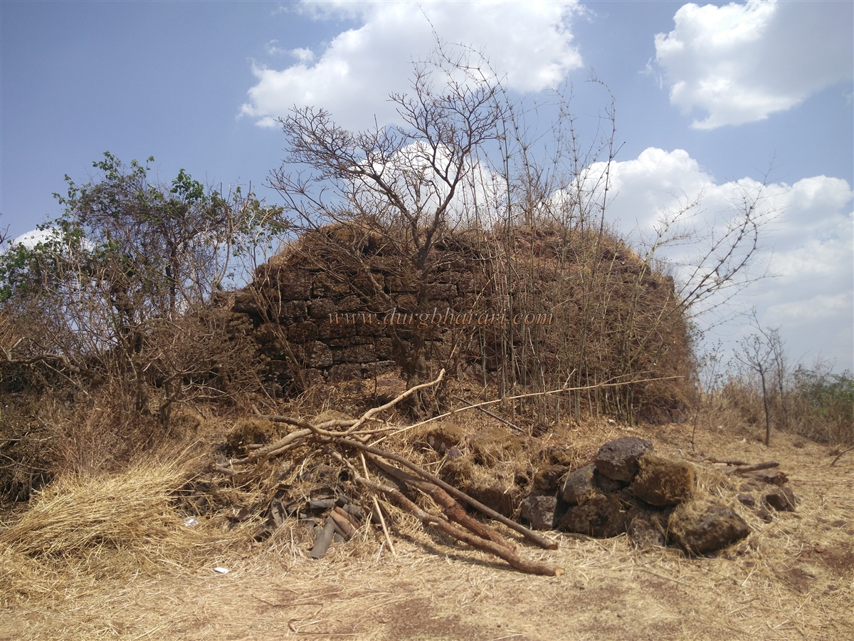
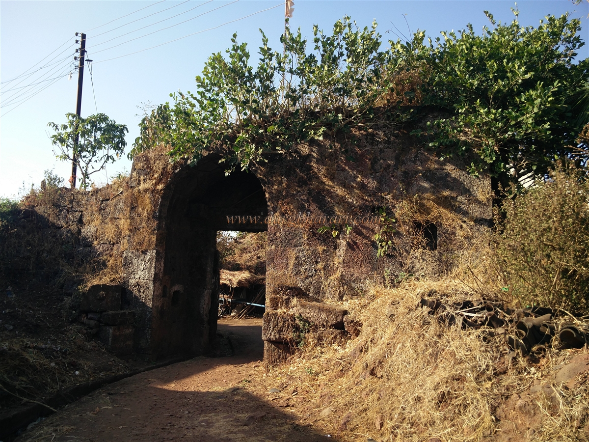
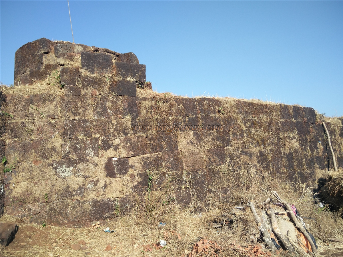
From here, the trail to the fort enters the jungle on the right. The forest department has cleared this path and installed animal census cameras in some spots. This trail emerges from a karvi thicket and leads to a col (pass) between two hilltops. Along the way, steps carved into the rock are visible. It takes about half an hour to reach this point from the base. At the pass, on the right, the remains of fortification walls and a bastion can be seen. This could have once been the location of the fort's main gate, but no remains of it exist today. There’s a destroyed platform in the flat area of the col.
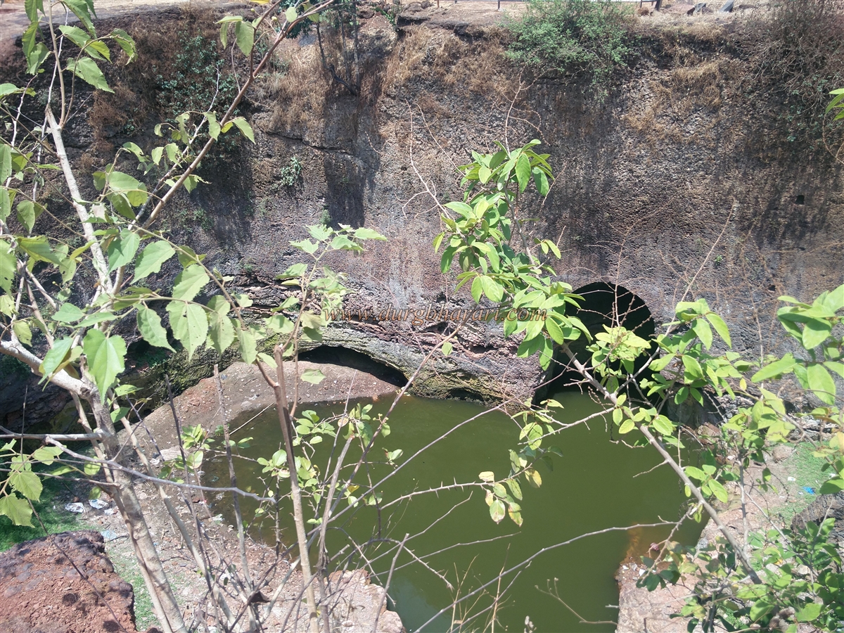
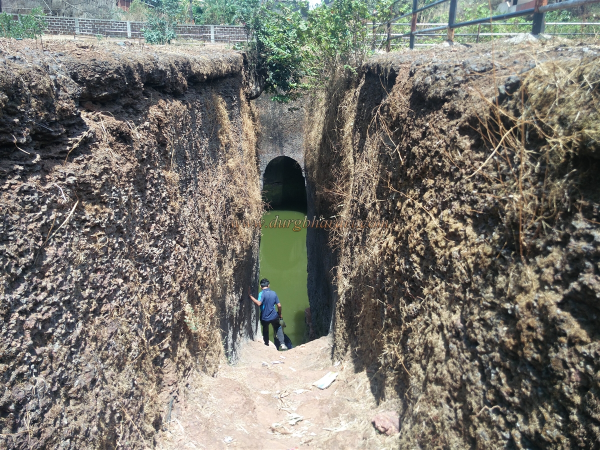
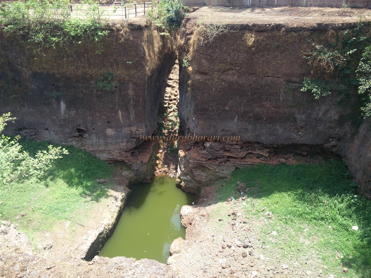
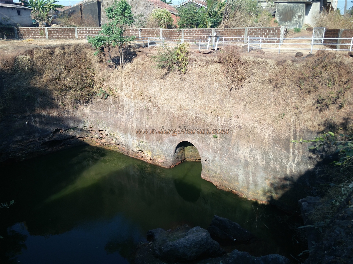
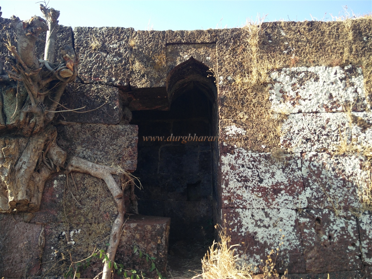
The fort is spread across the elevated ridges on both sides of the col, but since the remnants are only on the left side, one must climb that first. As one climbs, remnants of a wall buried in soil and clinging to the edge of a ravine can be seen. Adjacent to the wall is a large rock-cut water tank, now filled with soil. Given the naturally defensive terrain of the fort, it seems that additional fortification was not required apart from near the entrance. On the left side of the trail, there is a small rock-cut cave tank.
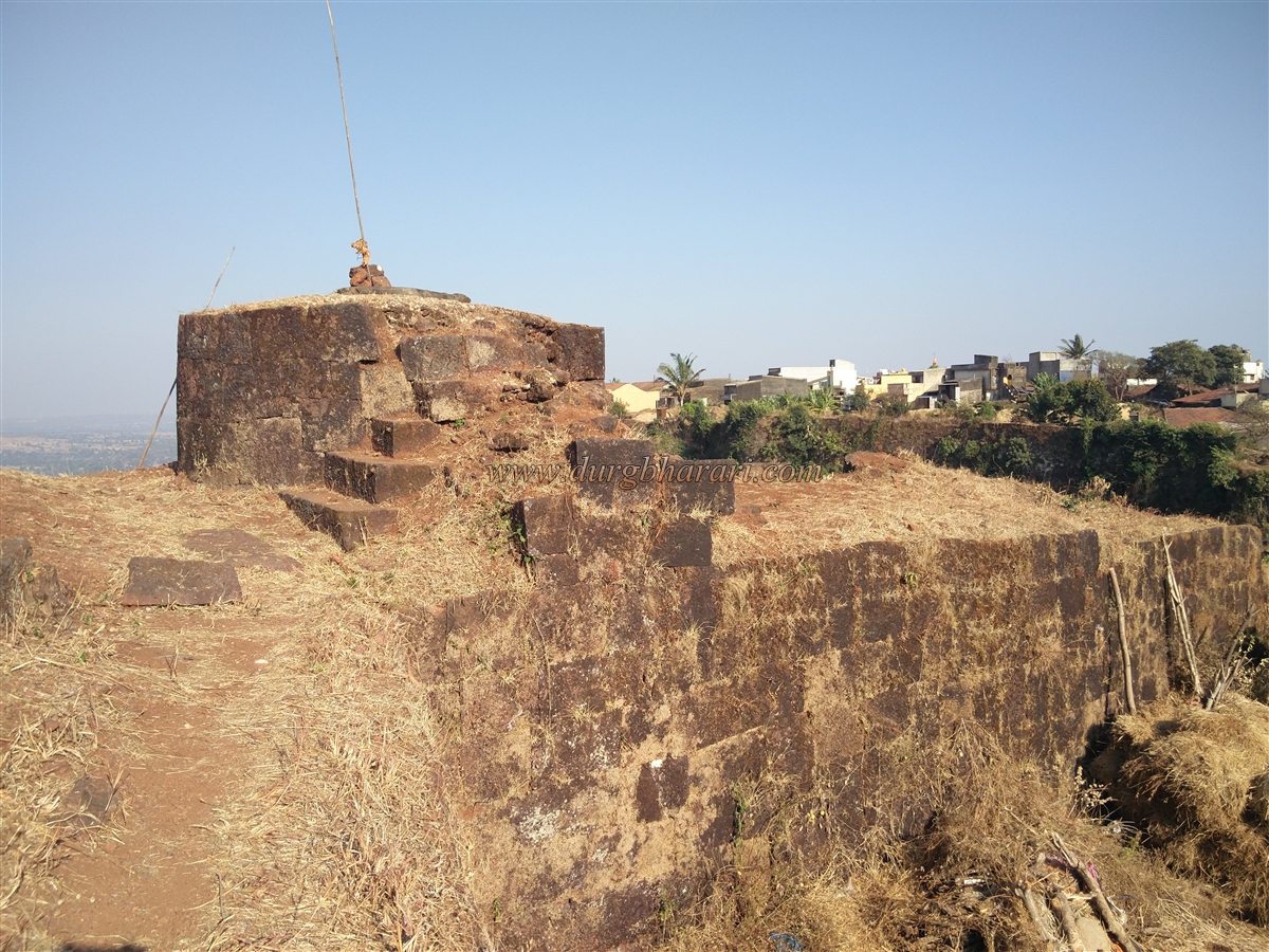
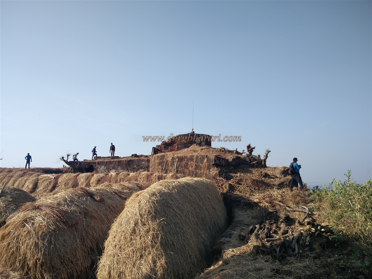
Since the fort’s summit is at a very low elevation, one can reach the top within five minutes from the gate. The fort is spread along a north-south axis and has an elevation of 2,790 feet above sea level, covering about six acres. There is a group of eleven rock-cut water tanks of various sizes, most of which are filled with silt. Only two tanks have potable water. On one tank is a sculpture depicting a devotee performing Shiva puja, with an attendant holding a fly-whisk on one side and another servant figure on the other.
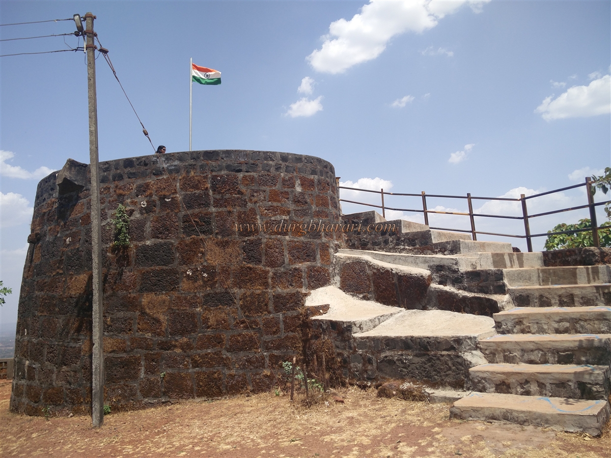
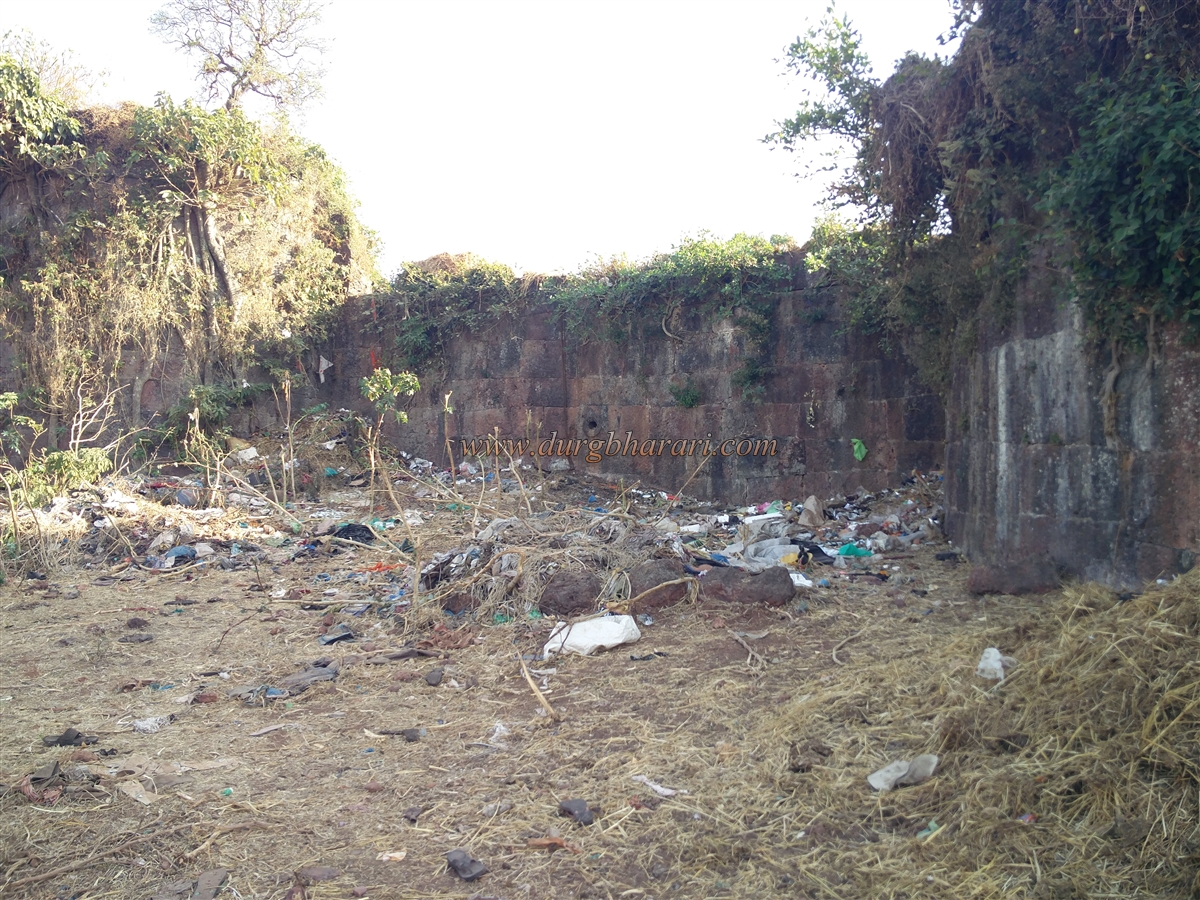
Ahead of these tanks is a ruined temple, which houses a black stone idol of Bhairav seated on a horse and a brass-masked idol of Goddess Bhavani. A fair is held here in May in honour of Bhairi Bhavani. Behind and beside the temple, several platforms lie hidden under the grass. Since there are no other significant remnants in this area, one must proceed to the other peak of the fort. At the southern end of the fort is a bastion ruin, from where one can get a beautiful view of Raghuveer Ghat. Apart from one or two small platforms among the bushes, there are no other remains visible here.
Returning to the original entry point completes the fort circuit. Since the fort is small, about 45 minutes are sufficient to explore the entire area. While on the fort, we came across a bison relaxing under a tree, reminding us to proceed cautiously. From the summit, one can see Raghuveer Ghat, Vasota Fort, Chakdev, Parbat, and the vast forests of the Javali valley.
The rock-cut tanks suggest that this fort existed even before the era of Shivaji Maharaj. There are few mentions of Mahimandangad during the Maratha period or later, which indicates it may have served primarily as a watch post due to its size and location.
© Suresh Nimbalkar
छायाचित्रे