MAHADAGAD
TYPE : HILL FORT
DISTRICT : NAGPUR
HEIGHT : 1320 FEET
GRADE : EASY
One of the major geographical regions of Maharashtra is Vidarbha. Although the fort history of Vidarbha dates back to the Satavahana period, most of the forts visible today were built during the Gond dynasty, around the 12th–13th century CE. One such lesser-known hill fort built by the Gonds is found in the Nagpur district. When talking about forts in Nagpur, names like Ramtek, Nagardhan, and Sitabardi are commonly mentioned. However, besides these, there are many lesser-known forts like Bhivgad, Jalalkheda, Umred, Dongartala, and Mahadagad.
Toward the western side of Vidarbha, i.e., in the Nagpur region, there are hill ranges like Garamsur, Pilkapar, and Mahadagad. Among these, the Mahadagad range houses the Mahadagad Fort. Located just 35 km from Nagpur city on the Nagpur–Amravati highway, this fort remains largely unknown and is locally referred to as the Gond Raja’s Fort.
...
To visit Mahadagad Fort, one must reach Khairi village at the base of the hill. Khairi is 35 km from Nagpur and about 2 km off the Nagpur–Amravati highway. If using public transport, this last stretch must be walked.
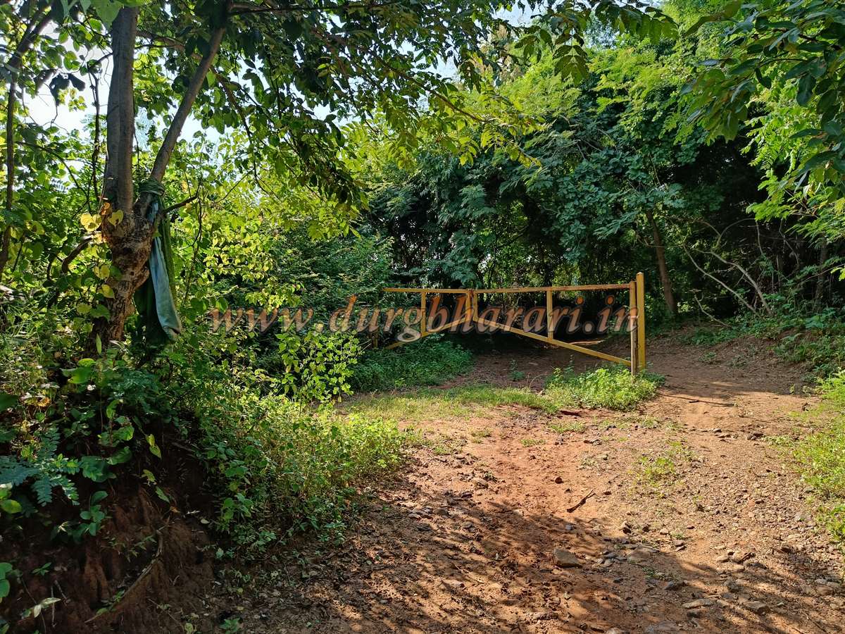
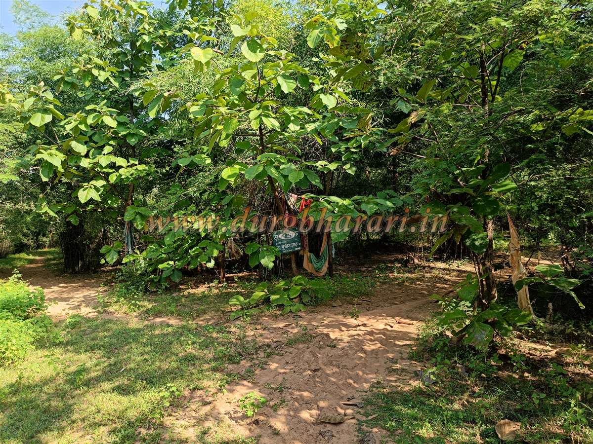
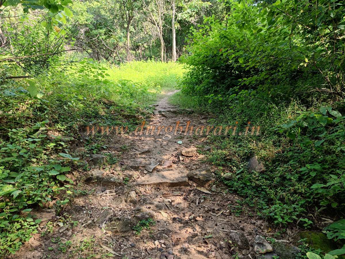
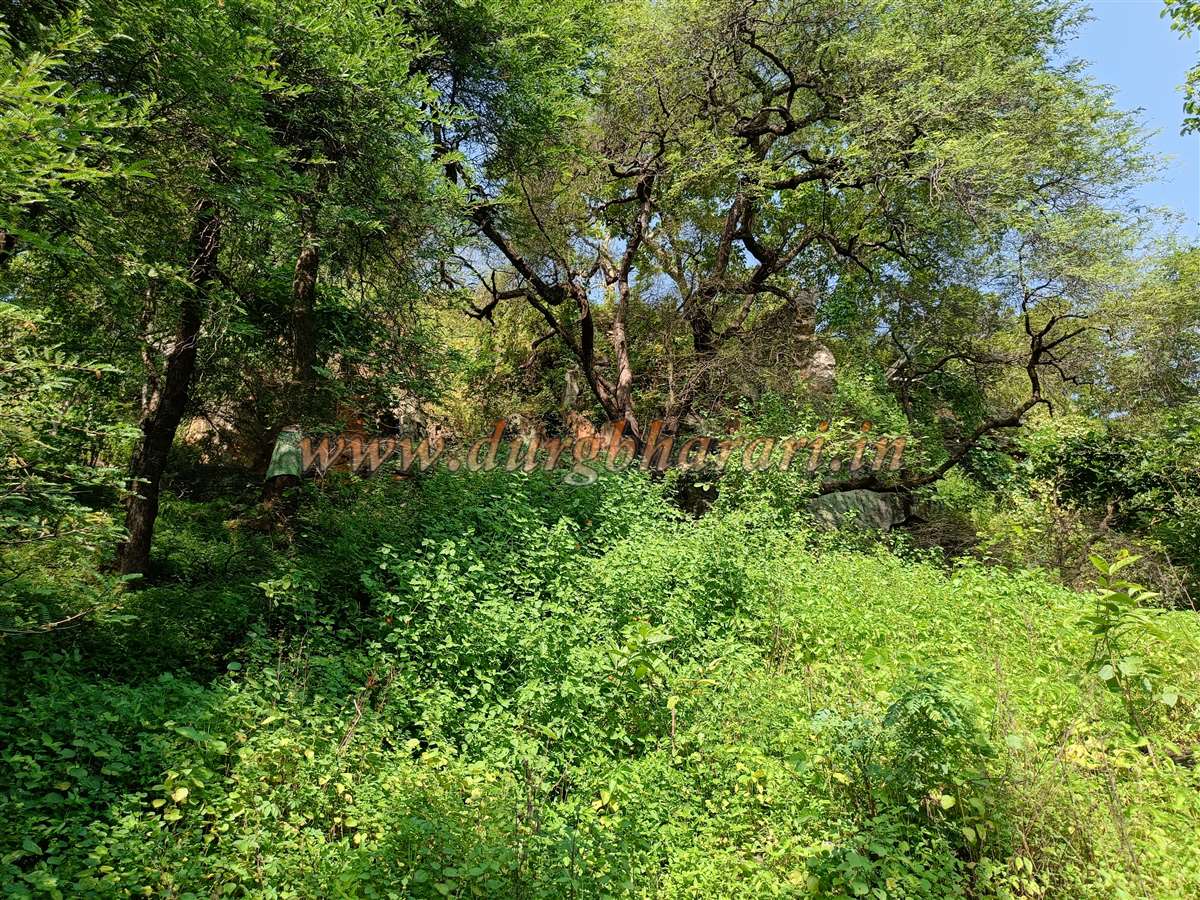
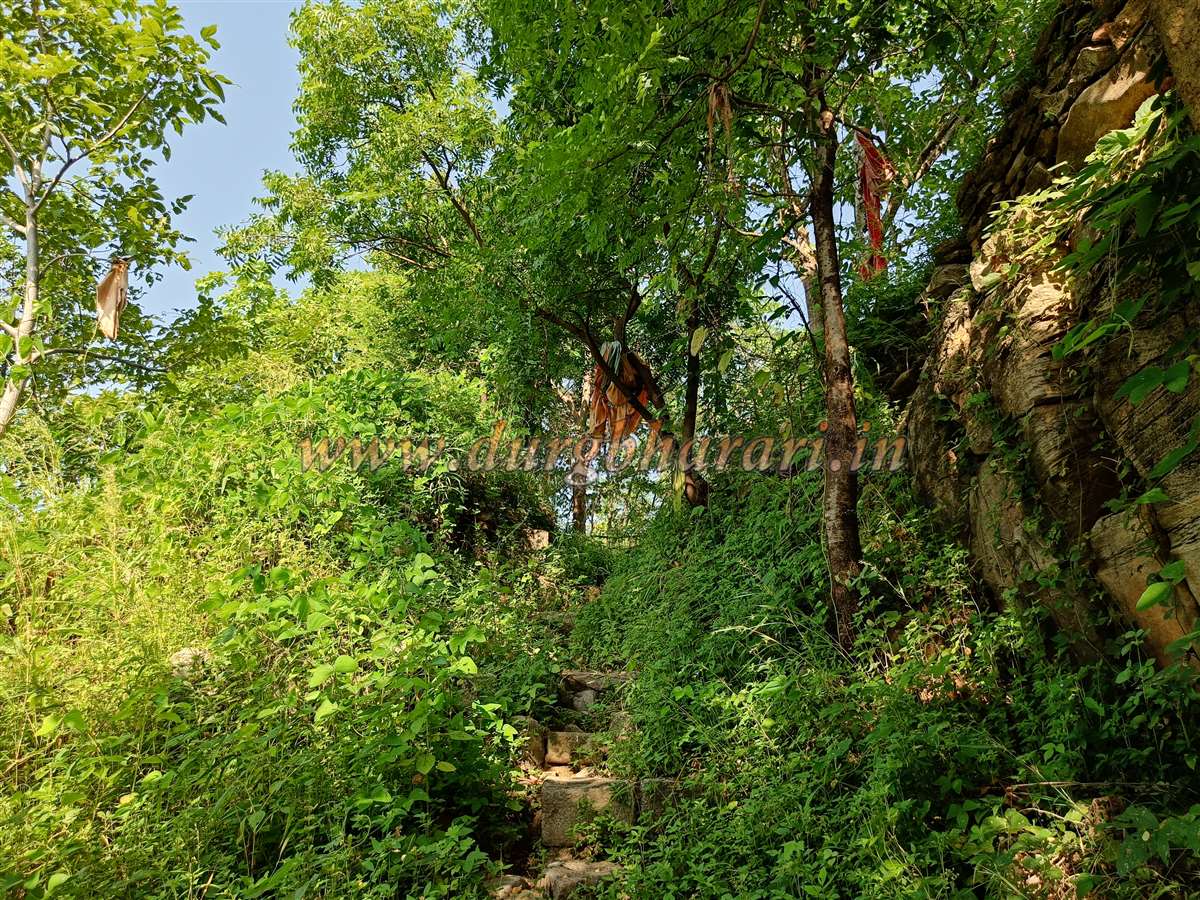
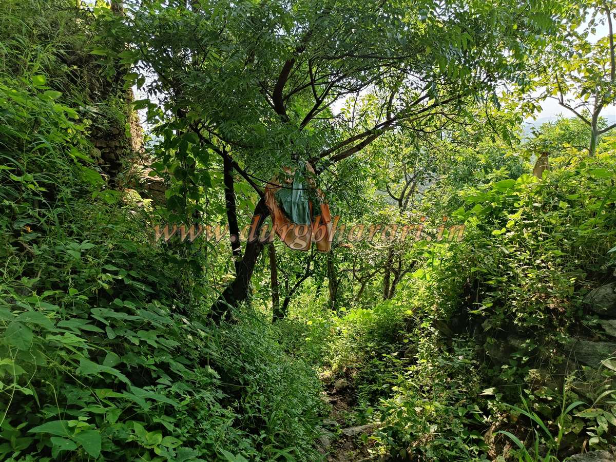
On the way, one passes the Utkarsha paper mill. Beyond this, at a curve near a tree, there is a platform with ritual offerings and a carved serpent idol. From here, an unpaved path leads toward the fort. Walking for about five minutes, one crosses a stream and in another five minutes reaches a forest department gate. In dry seasons, private vehicles can reach this point. From here, a well-trodden path to the left leads directly to the fort. A signboard marks the way to Dargah Sharif, and colourful cloth pieces tied to trees guide the route clearly, making it difficult to get lost.
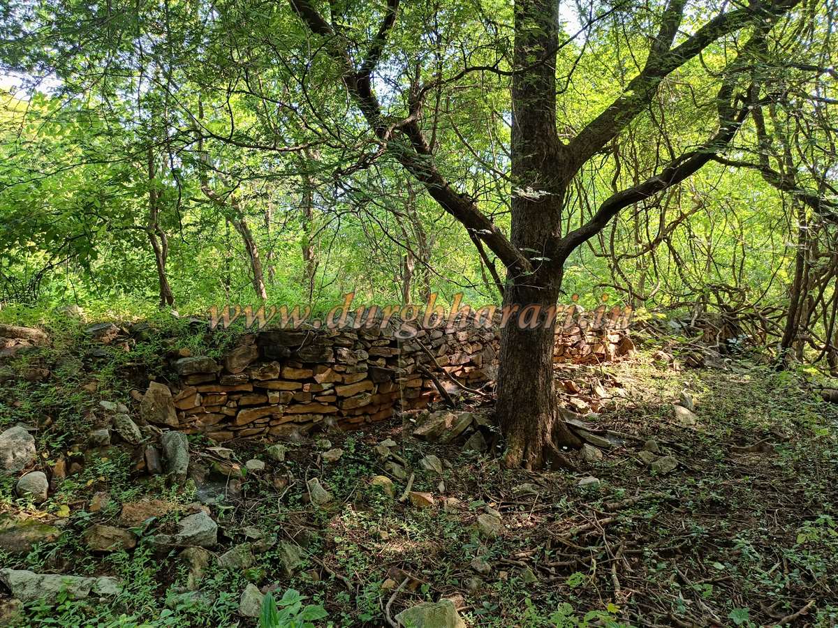
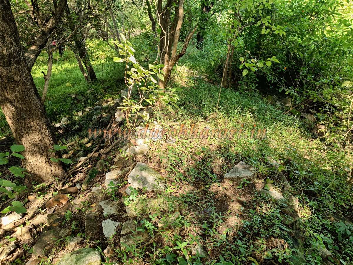
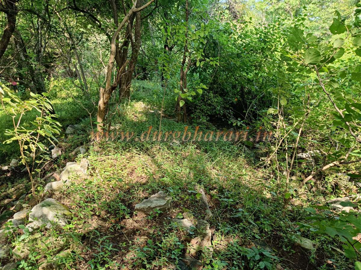
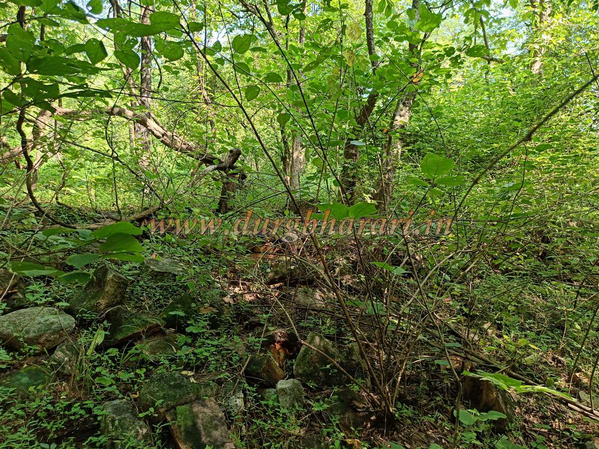
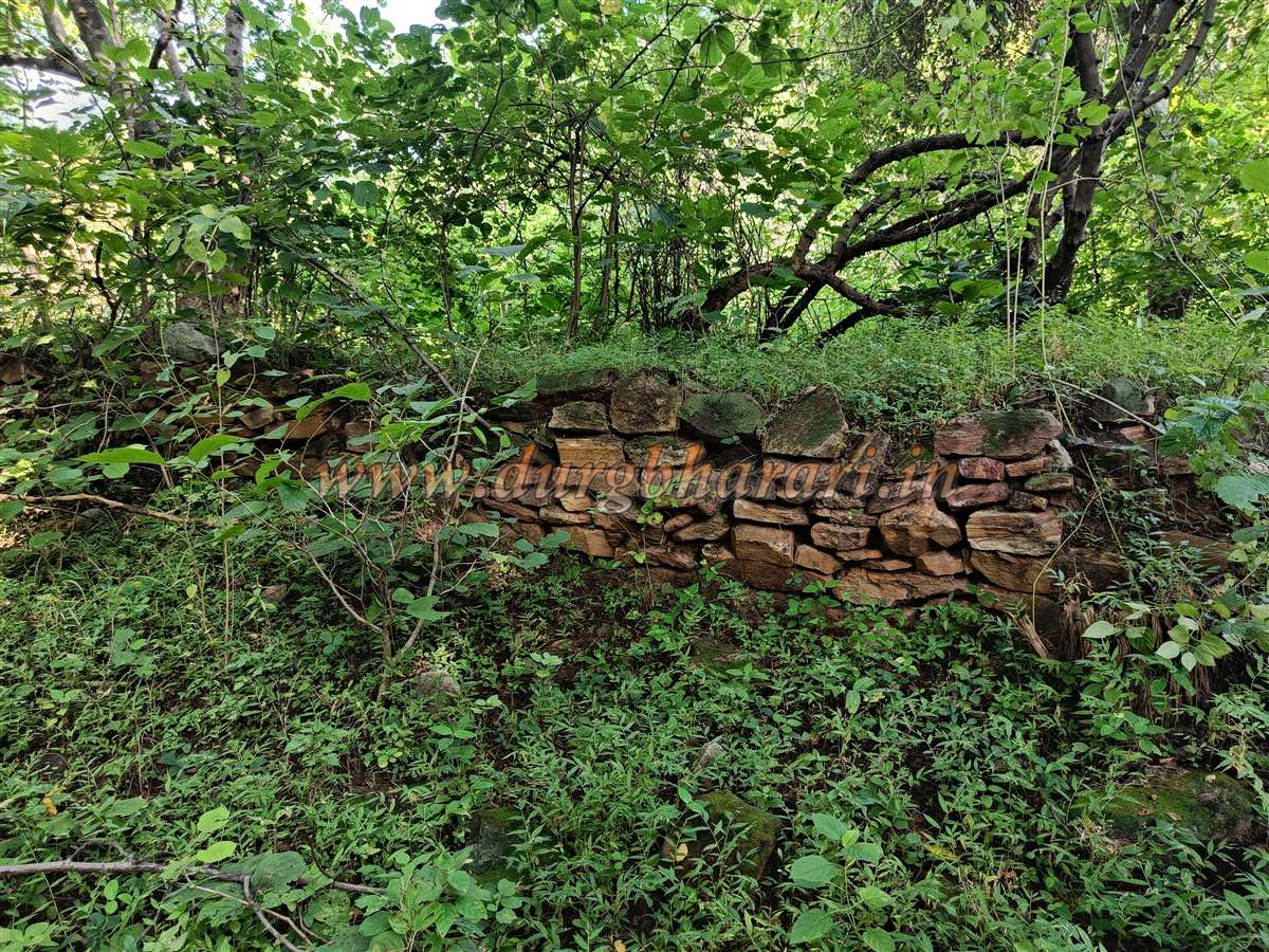
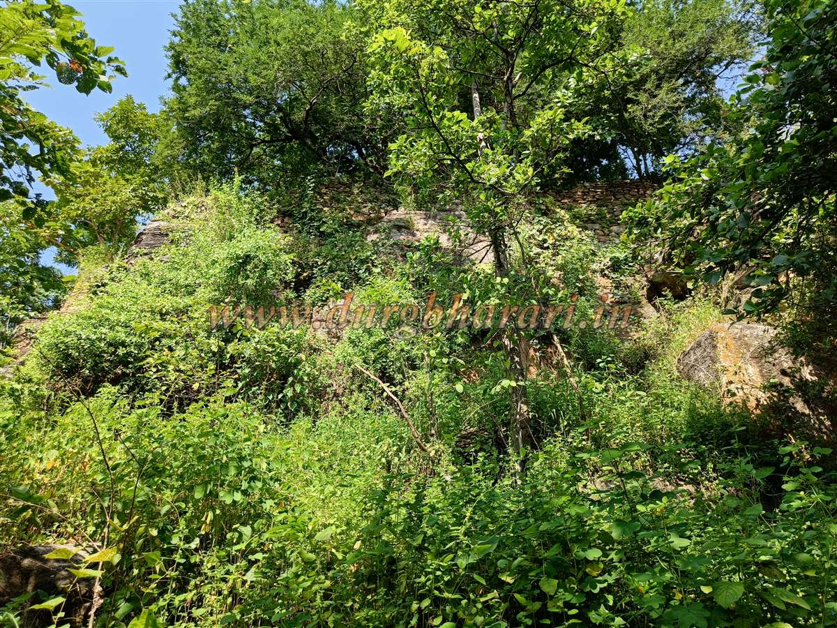
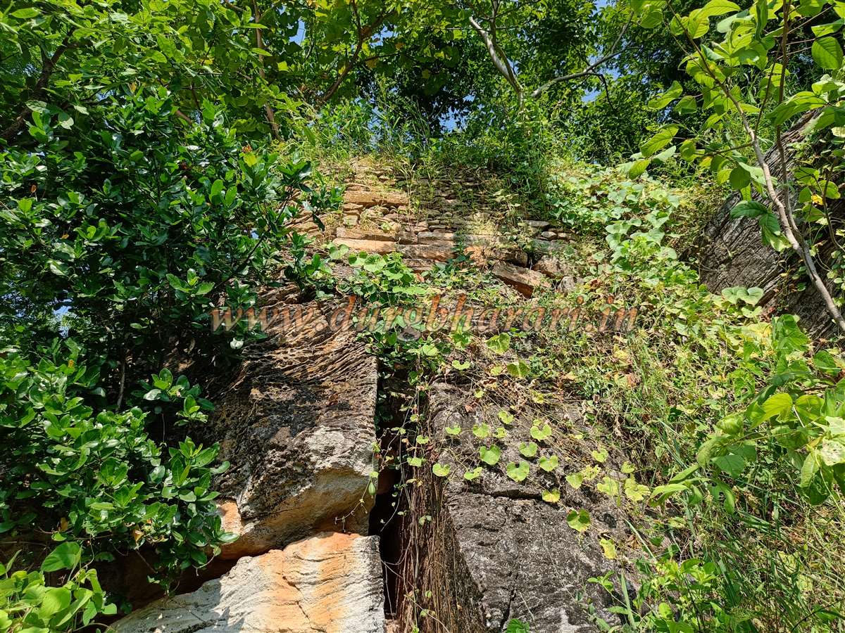
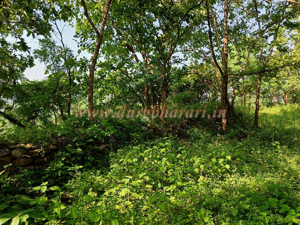
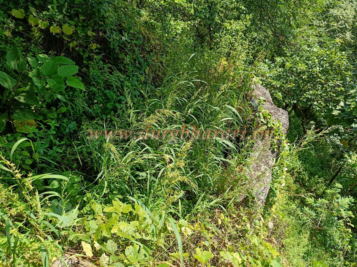
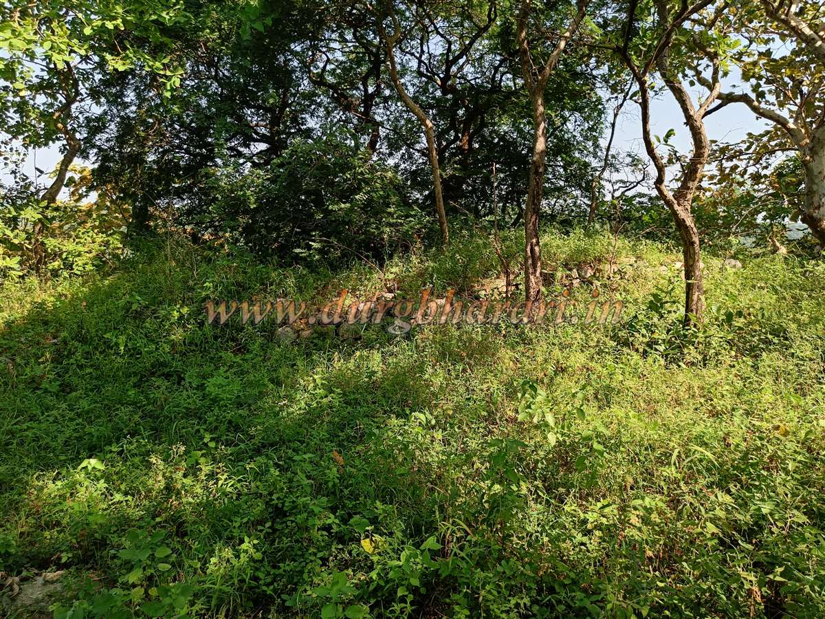
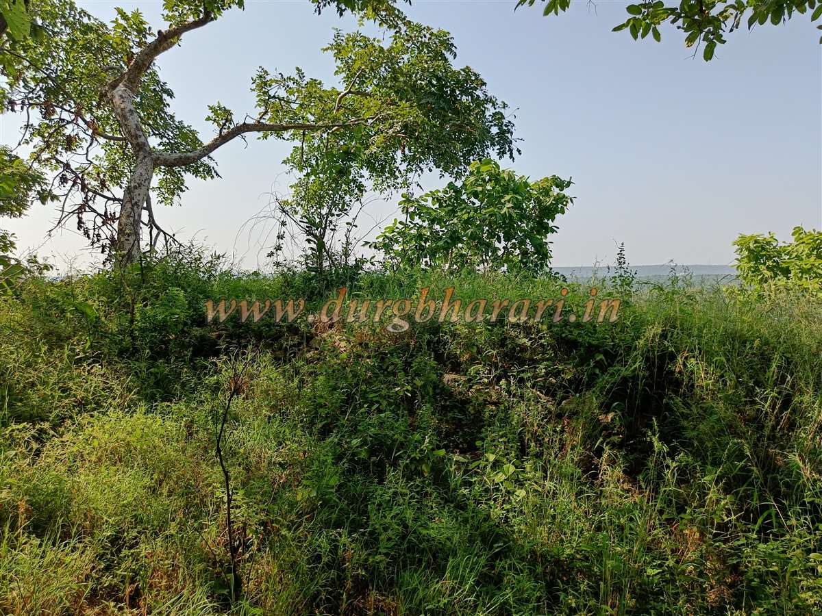
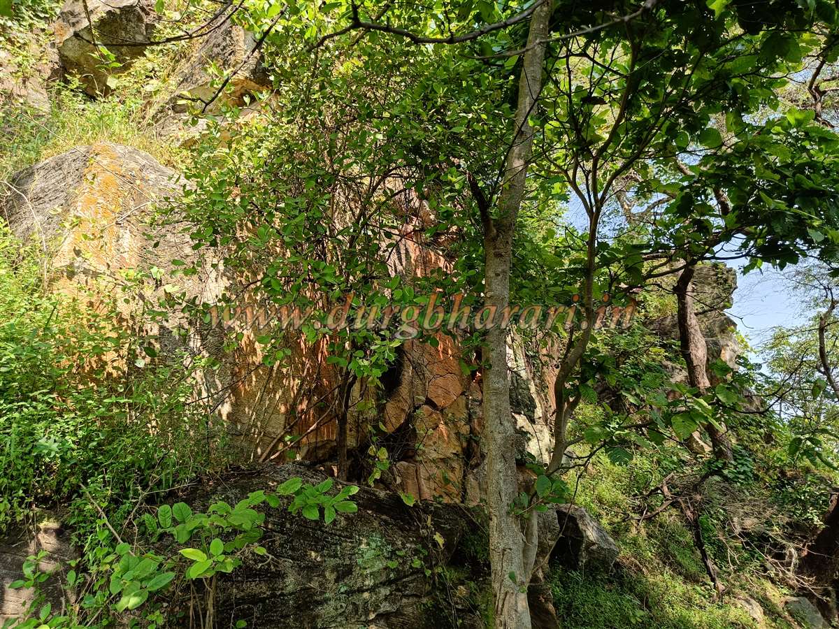
Walking quietly through this forest trail, one might spot blackbuck droppings and even glimpse them if lucky. After about ten minutes, one reaches the broken outer fort wall. The fort is surrounded on three sides by deep valleys and connects to land only from one side, where the defensive wall was built. This wall, about 8–10 feet wide and now around 5–6 feet high due to silt accumulation, is overgrown with vegetation, making it hard to trace the original entrance. Passing through a broken section of the wall, the internal trail leads toward the citadel (Balekilla).
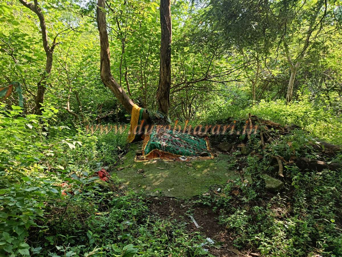
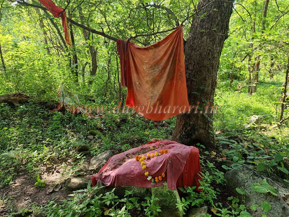
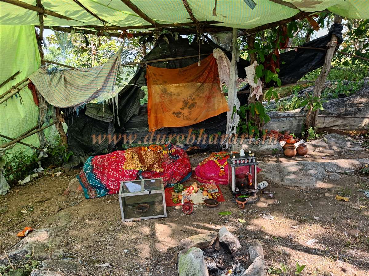
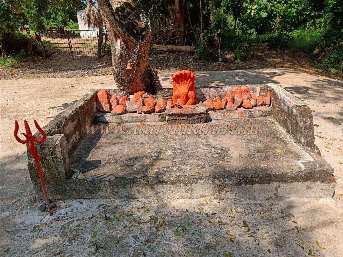
Inside, thick vegetation hides many architectural remnants. A little ahead to the right is a vermilion-smeared stone and a platform with a ritual cloth covering. From this point, a steep ascent to the citadel begins. At some spots, stone steps carved into the slope are still visible, and further up one sees the fort walls perched on the cliff edge. This trail eventually leads to the ruined main gateway of the Balekilla. It takes about half an hour to reach this point from the forest gate.
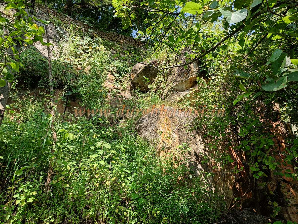
The stone frame of the entrance is still intact, but the arch above it has completely collapsed. A typical feature of Gond forts was elaborately carved entrances, but due to neglect and extensive damage, no such carvings survive here. The fort walls are built of large, well-fitted stones and are largely intact. Inside the gateway, to the right, is a now-buried stone-paved path. A little further along the wall, outside, is a rock-cut water cistern.
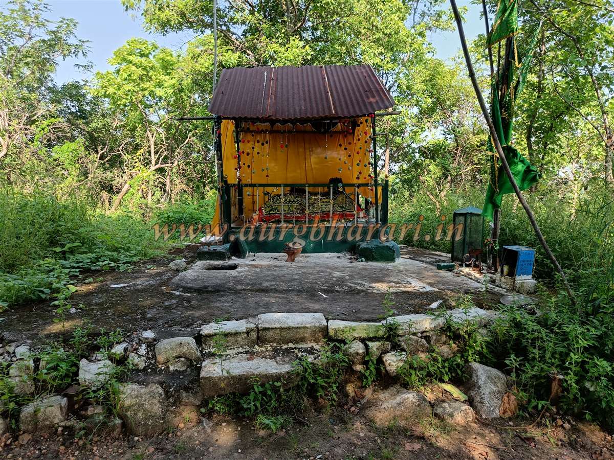
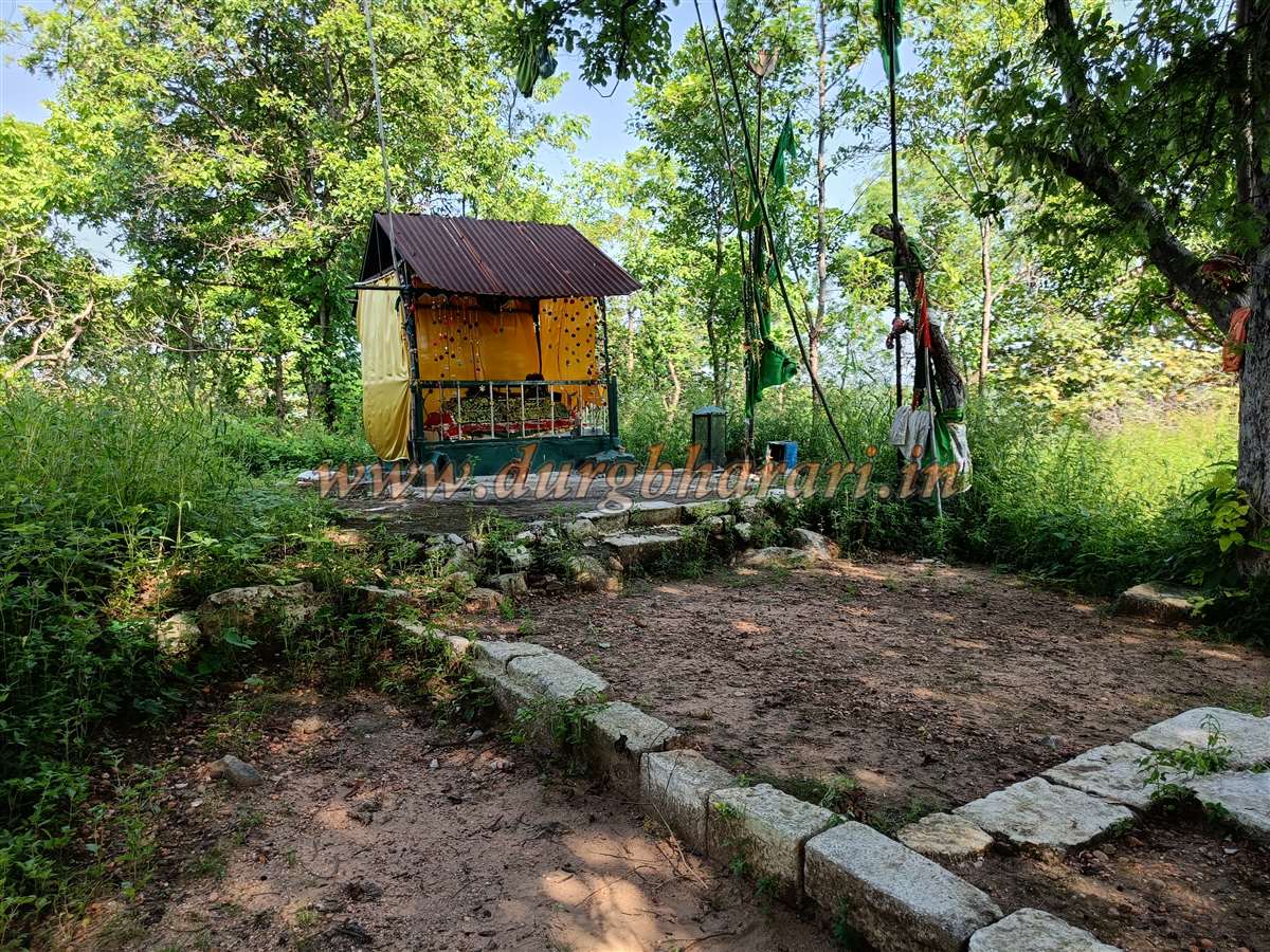
Except for one section, the entire fort wall can still be circumnavigated. In the centre of the citadel is a corrugated metal shelter housing a tomb, around which carved stones are scattered—likely the remnants of the fort’s main structure. On the left slope of the citadel, near the fort wall, is a ruined temple of the fort deity. From this spot, another descending trail leads down the hill. Exploring the thick vegetation on the fort’s summit, a few scattered architectural remains can be seen.
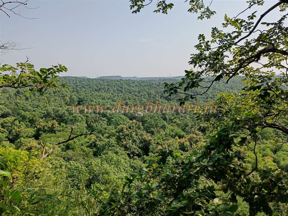
The top of the fort covers about 2 acres and sits at an elevation of 1320 feet above sea level. From the summit, one gets a panoramic view of the surrounding dense forests. Not just the hill, but the forest around the fort contributes to its defensive strength. A total of three hours is enough for a round trip from Khairi village to the fort.
The rise of the Gond dynasty occurred around the mid-13th century in eastern Vidarbha, and they ruled the region for nearly 400 years. Hence, their forts are found in greater numbers across this area. Ballarsha, Chandrapur, and Nagpur served as their capitals. Mahadagad Fort may have been built to keep an eye on the route from Amravati to Nagpur, which was then a capital. The Gond rulers initially accepted the suzerainty of Muslim empires, so they rarely had to face major wars. When the Nagpur Bhonsle gained dominance in Vidarbha in the early 18th century, they are known to have renovated several forts, but there is no record found about Mahadagad.
© Suresh Nimbalkar
GALLERY