MADANAGAD
TYPE : HILL FORT
DISTRICT : CHANDRAPUR
HEIGHT : 905 FEET
GRADE : HARD
The very name "Gadchiroli" often brings to mind a remote, underdeveloped, and Naxal-affected tribal district — a perception that has long discouraged both tourists and historians from exploring this region. However, in recent years, a positive transformation has begun to take shape as development efforts take root and interest in the region’s history and geography grows. With this increasing curiosity, lesser-known places are now coming to light — including forgotten forts that were previously hidden in plain sight.
One such newly rediscovered fort is Madanagad, located in Chimur Taluka of Chandrapur district, though very close to the border of Gadchiroli. While the nearby Zhari Waterfall near the village of Navatala is relatively well known locally, Madanagad Fort, located in the same vicinity, remains virtually unknown even to most locals — barring a few shepherds and elders.
...
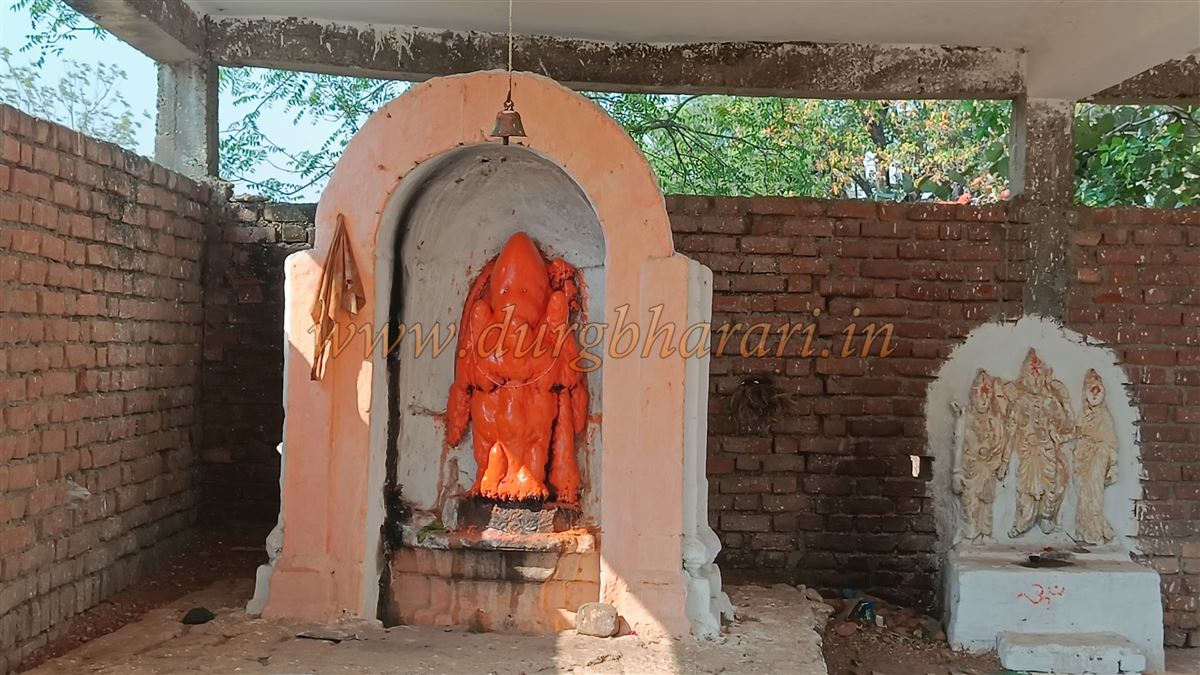
Navatala village is around 120 km from Chandrapur city and approximately 98 km from Gadchiroli. To reach the fort, one must first go to the Shiva temple near a pond outside the village. Adjacent to the temple is a house, and it is advisable to request someone from this household to serve as a guide. Madanagad, being deep within a forest and perched on a hill, is not only a hill fort (Giridurg) but also a forest fort (Vandurg). Due to the presence of tigers in the area, it is strictly inadvisable to attempt the trek without prior knowledge and a local guide.
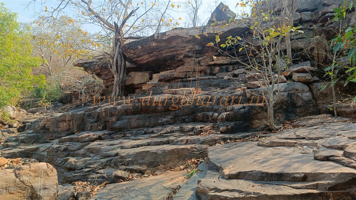
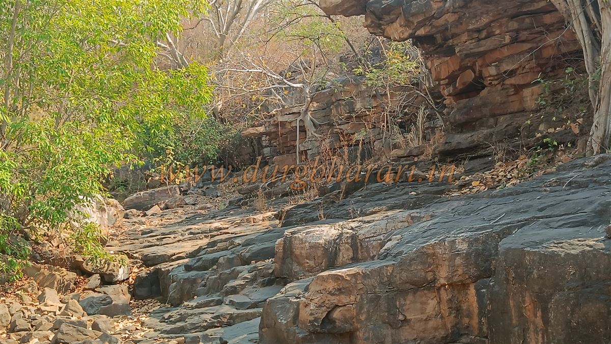
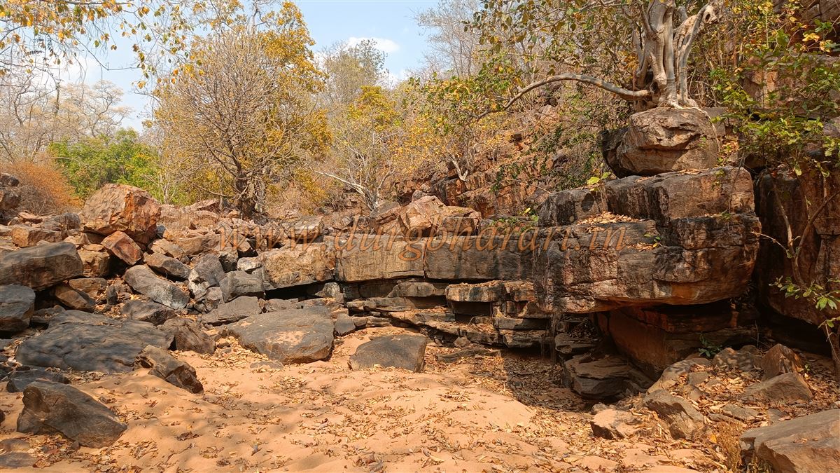
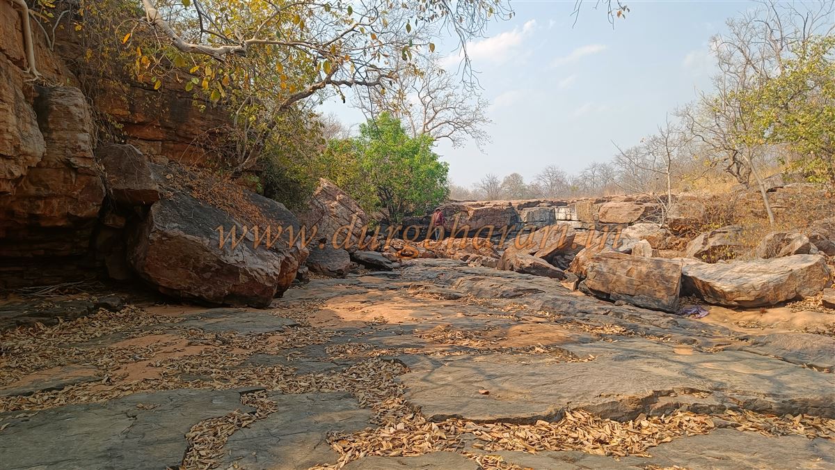
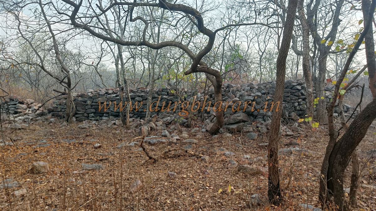
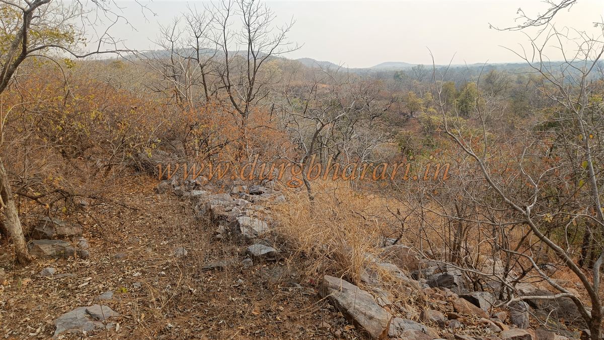
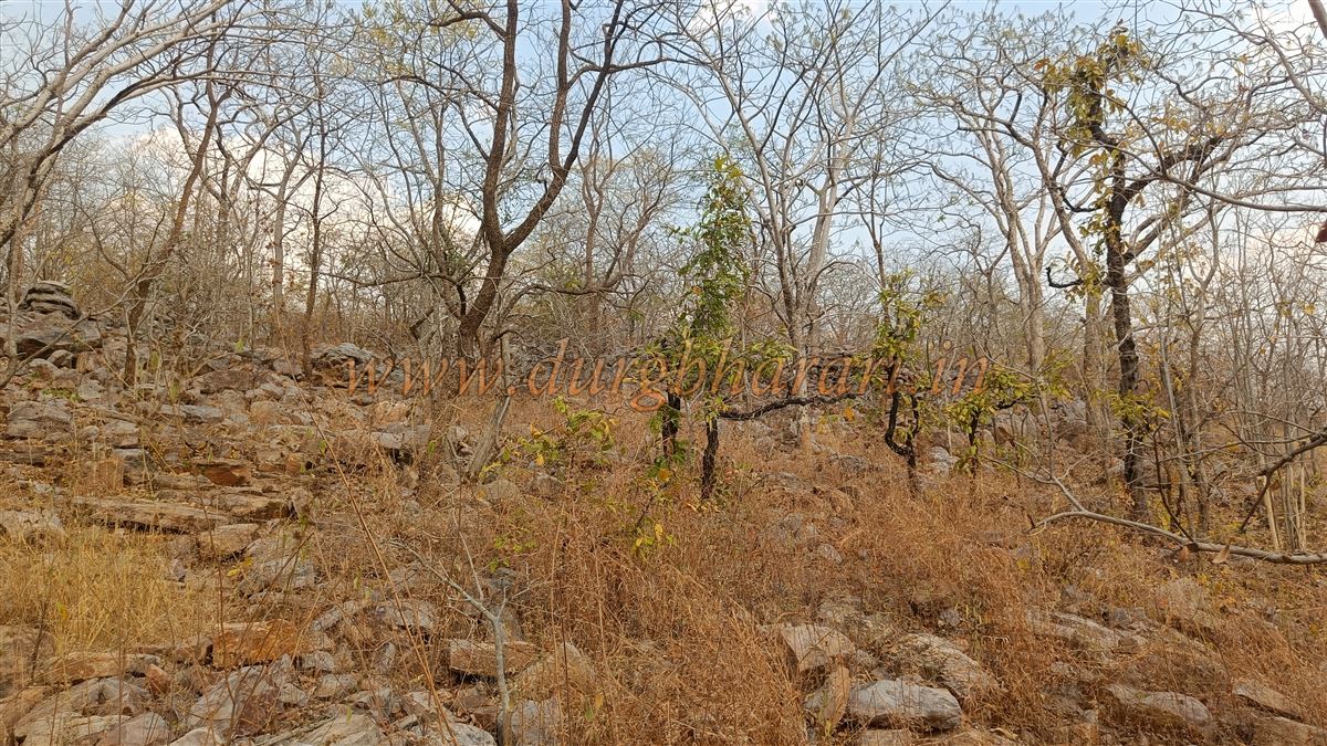
From the Shiva temple, a bund leads to the pond, and walking across its wall brings you to the stream that feeds the waterfall. As you follow the stream uphill, you gradually reach the point where the water cascades down the cliff — the Zhari Waterfall. Continuing the ascent beyond this point and turning left, you climb further to eventually arrive at the fort. Here, remnants of a fortification wall and bastion can be seen.
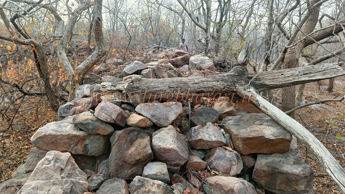
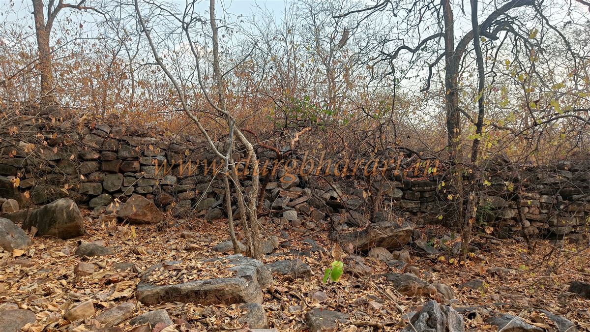
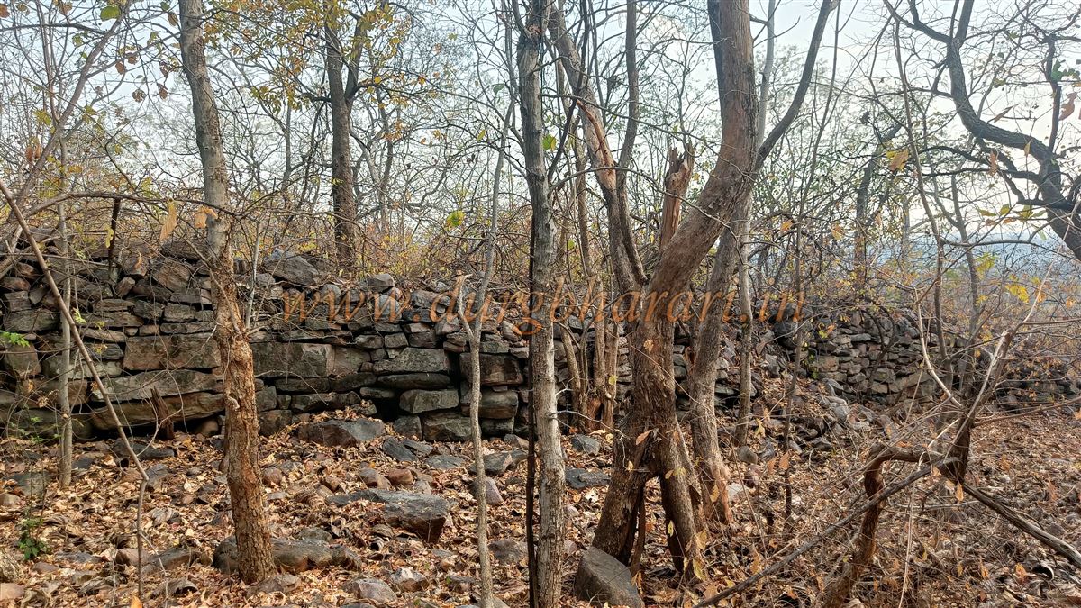
The fort walls and bastions are constructed using unpolished stone masonry without any mortar, yet they stand fairly well preserved, rising to about 8–10 feet in height. The perimeter of the fort is estimated at 3 to 4 acres. Though the entrance gate has collapsed completely, its original location can still be discerned.
The hilltop is thickly forested, but from atop the walls, one can enjoy panoramic views of the surrounding region. From the Shiva temple, it takes about 45 minutes to reach the fort, and around 15 minutes are sufficient to explore the limited remains.
Though only recently brought to attention, oral accounts from elderly villagers claim that the fort was built by Kurum Prahod, a king from the Mana tribe. Historically, this region once formed part of Dakshin Kosala (ancient Chhattisgarh) and passed through the hands of several dynasties such as the Maurya, Satavahana, Vakatakas, Kalchuri, Rashtrakut, and later the Kakatiyas. Eventually, it came under the control of the Mana dynasty and was later absorbed into the Gond kingdom of Chandrapur (Chandagad), specifically under the Vairagad province.
Records indicate that Maharaja Kolba Wagh of the Mana lineage ruled the area including Gadbori, Nagbhid, Chimur, Neri, Madanagad, Navargaon, Bhatala, Bhisi, Chandan Kheda, and Varora, which altogether included 209 villages. These rulers were contemporaries of Raja Ramshah Gond of Chandrapur (1672–1735). Madanagad is explicitly mentioned in historical references among these forts and territories.
⚠️ Important Note: The forest surrounding Madanagad is known for tiger activity. When our team visited, we came across a fresh sambar carcass, clearly prey to a tiger, inside the fort premises, prompting us to retreat immediately. It is strongly advised not to venture here without a well-informed local guide and complete knowledge of the terrain and its risks.
Madanagad thus stands as a silent witness to the ancient tribal heritage of eastern Maharashtra — a forgotten stronghold shrouded in dense forest, waiting to be rediscovered, understood, and protected.
© Suresh Nimbalkar
GALLERY