MACHNUR
TYPE : GROUND FORT
DISTRICT : SOLAPUR
HEIGHT : 0
GRADE : EASY
In the Mangalvedha taluka of Solapur district, about 15 kilometres from Mangalvedha, lies the village of Machnur. This village is well-known for the ancient Siddheshwar Temple situated on the banks of the Bhima River. Close to this temple stands the fort of Machnur. The Mughal army had its camp here between 1694 and 1701 CE. Emperor Aurangzeb himself resided at this location during that period. Aurangzeb had descended into the Deccan to conquer southern kingdoms, but he was frequently harassed by sudden Maratha attacks. To protect himself from these surprise raids and guerrilla strikes, he built this fort around 1695 CE near the original Brahmagiri village on the banks of the Bhima River. The fort served as a large Mughal military encampment.
...
There is a local legend regarding how the village got its name. It is said that after conquering this region, Aurangzeb attempted to destroy the Siddheshwar Temple. However, at that moment, a fierce swarm of bees attacked the soldiers, thwarting the destruction of the temple. Enraged, Aurangzeb supposedly sent beef as an offering to insult Lord Shiva. But when it was placed before the Shiva lingam, the meat miraculously transformed into white flowers. The flesh changed its form, and hence the place came to be called "Masanoor," which over time evolved into "Machnur." Humbled by the incident, Aurangzeb later granted two annual endowments to the temple—one of ₹400 and another of ₹6. Even today, the Maharashtra government provides the temple with an annual grant of ₹480.
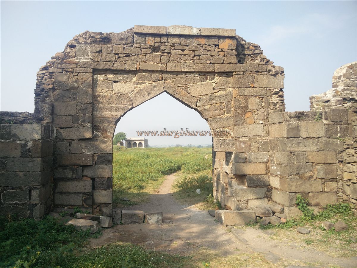
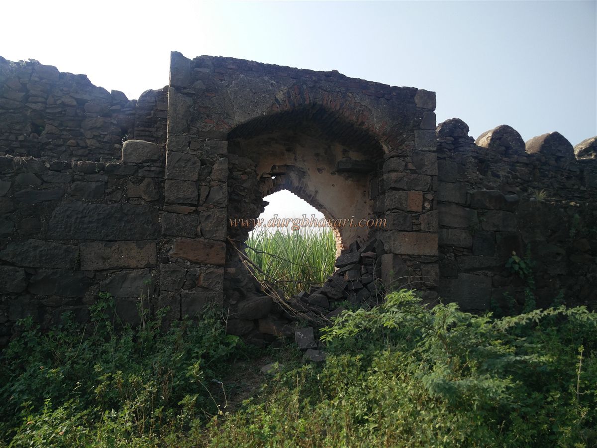
As one proceeds from the village towards the fort, a bastion with its defensive openings catches the eye. In front of the main entrance gate of Machnur Fort is a cleverly designed battlefield trap layout. This structure was intended to prevent enemy forces from directly accessing the main gate. Instead, invaders would be forced into a confined area, making it easier to trap or attack them. The entrance gateway, the fortifications, and several bastions of the fort are still standing. Upon entering through the main gate, guard rooms built on either side are visible. On the right side, near the wall, lies a water tank, but it is heavily overgrown and thus difficult to observe clearly.
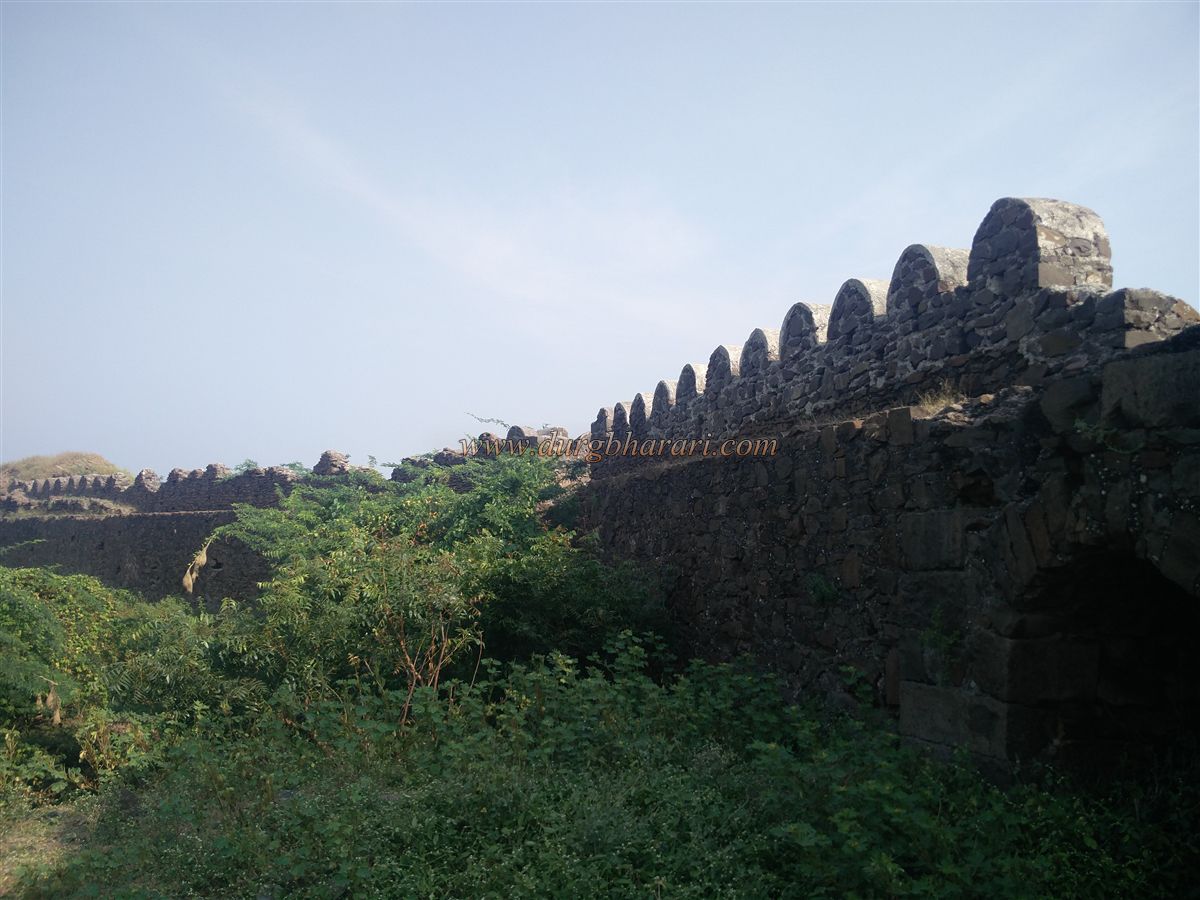
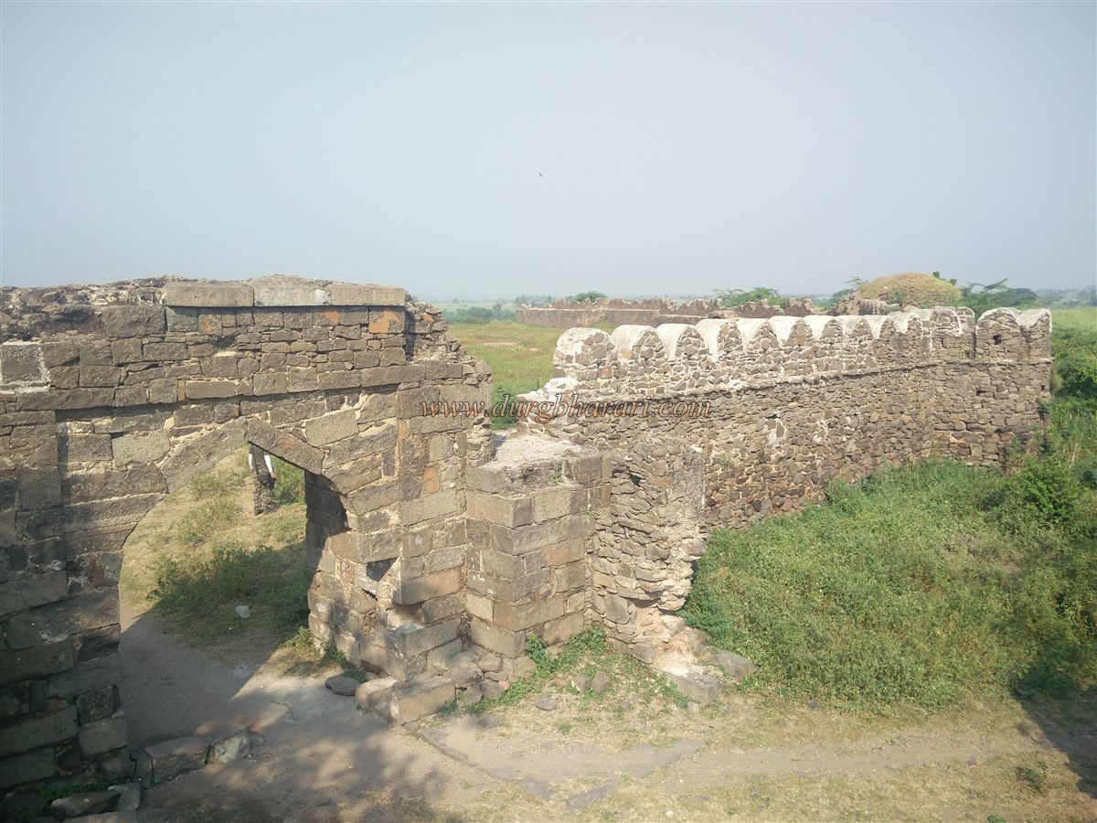
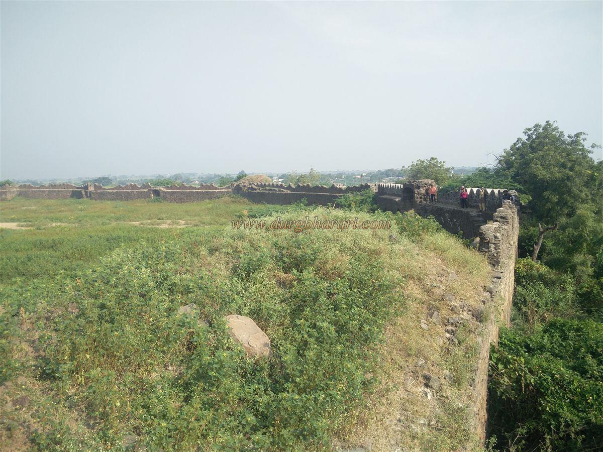
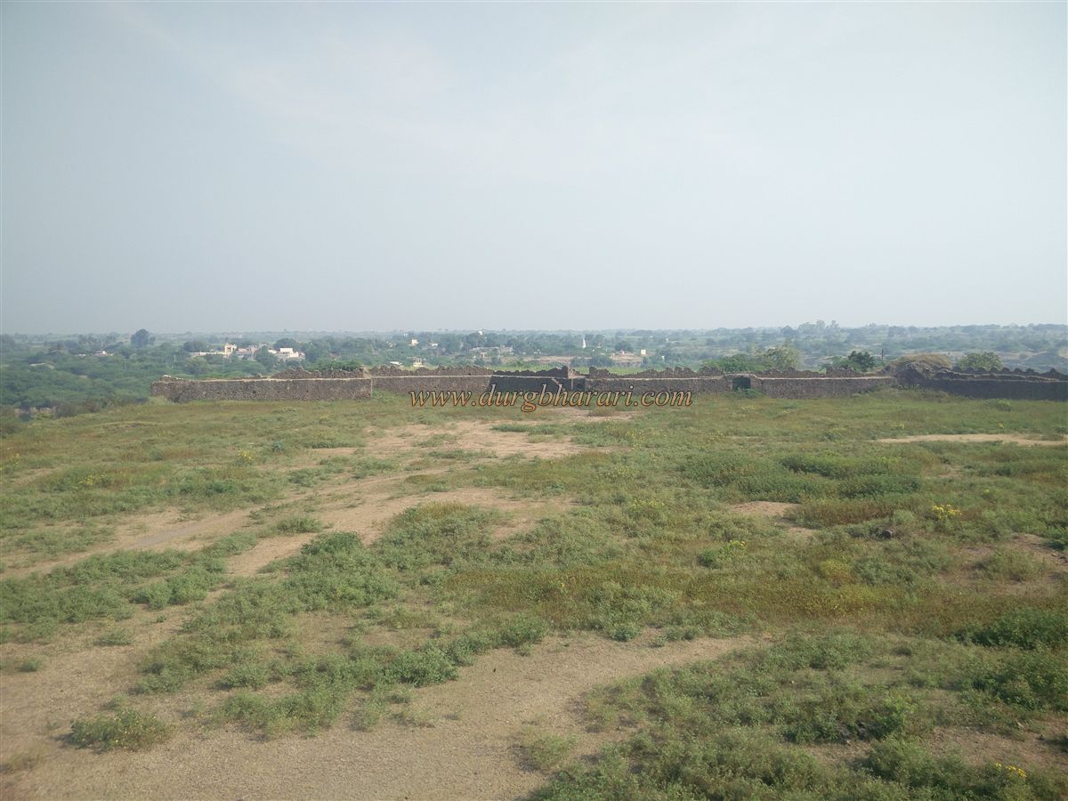
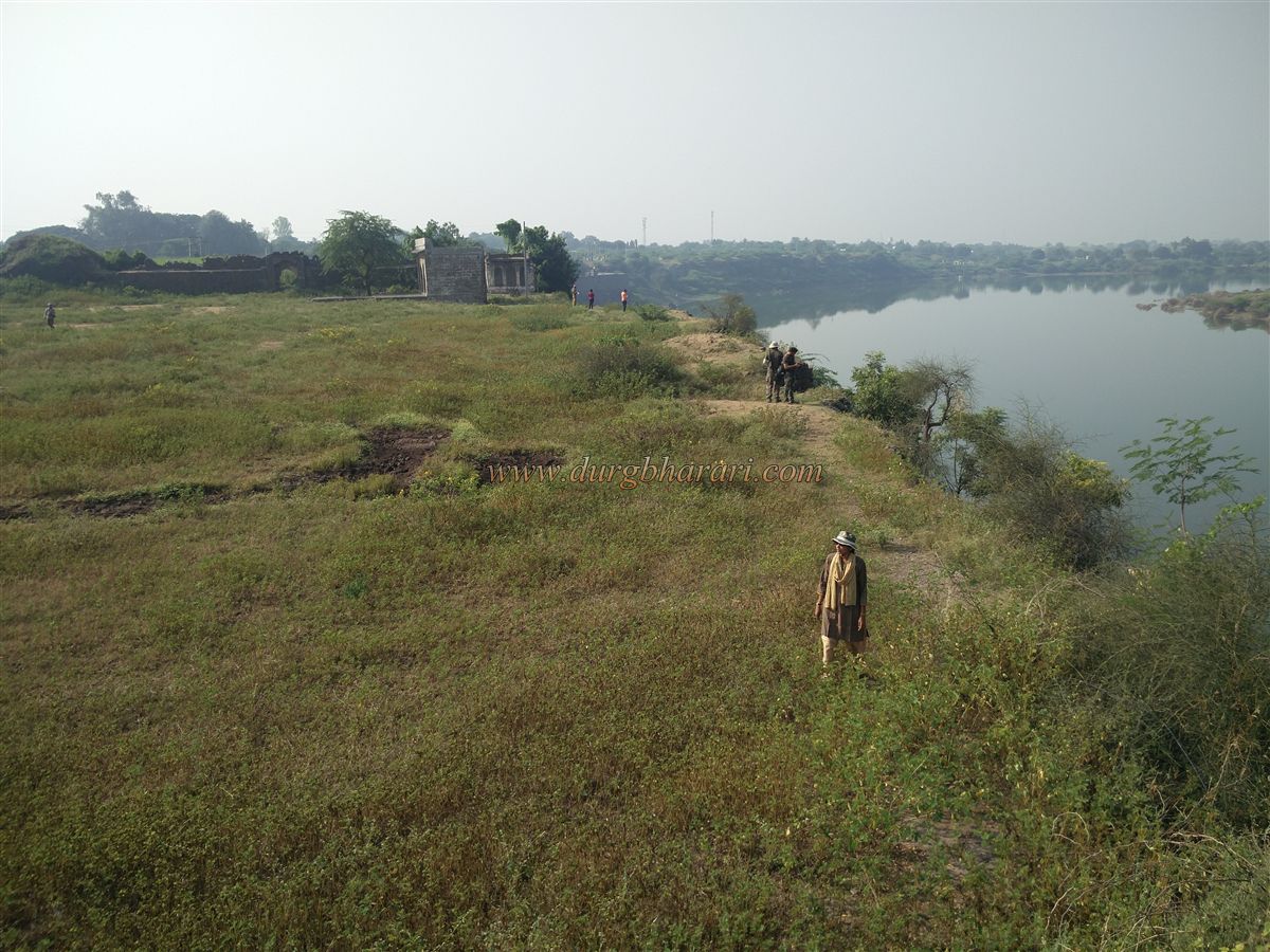
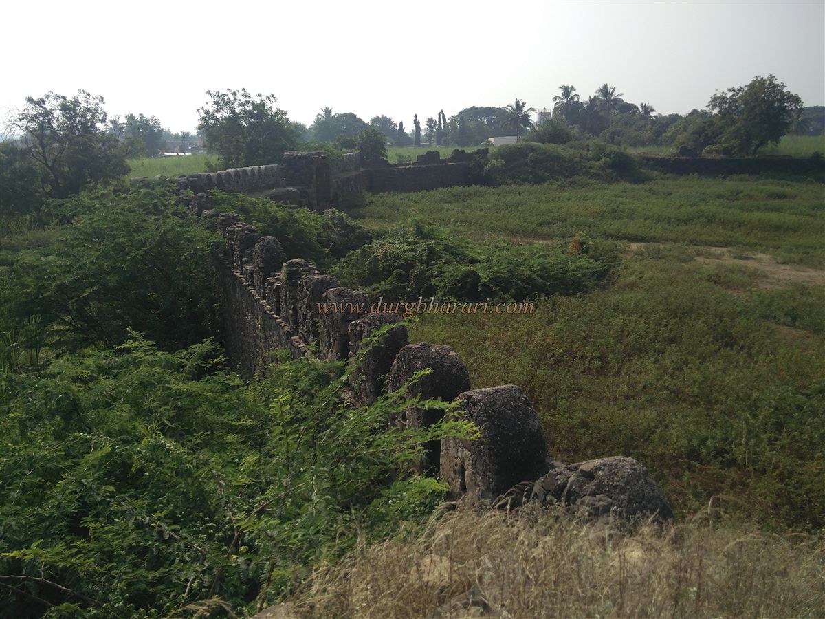
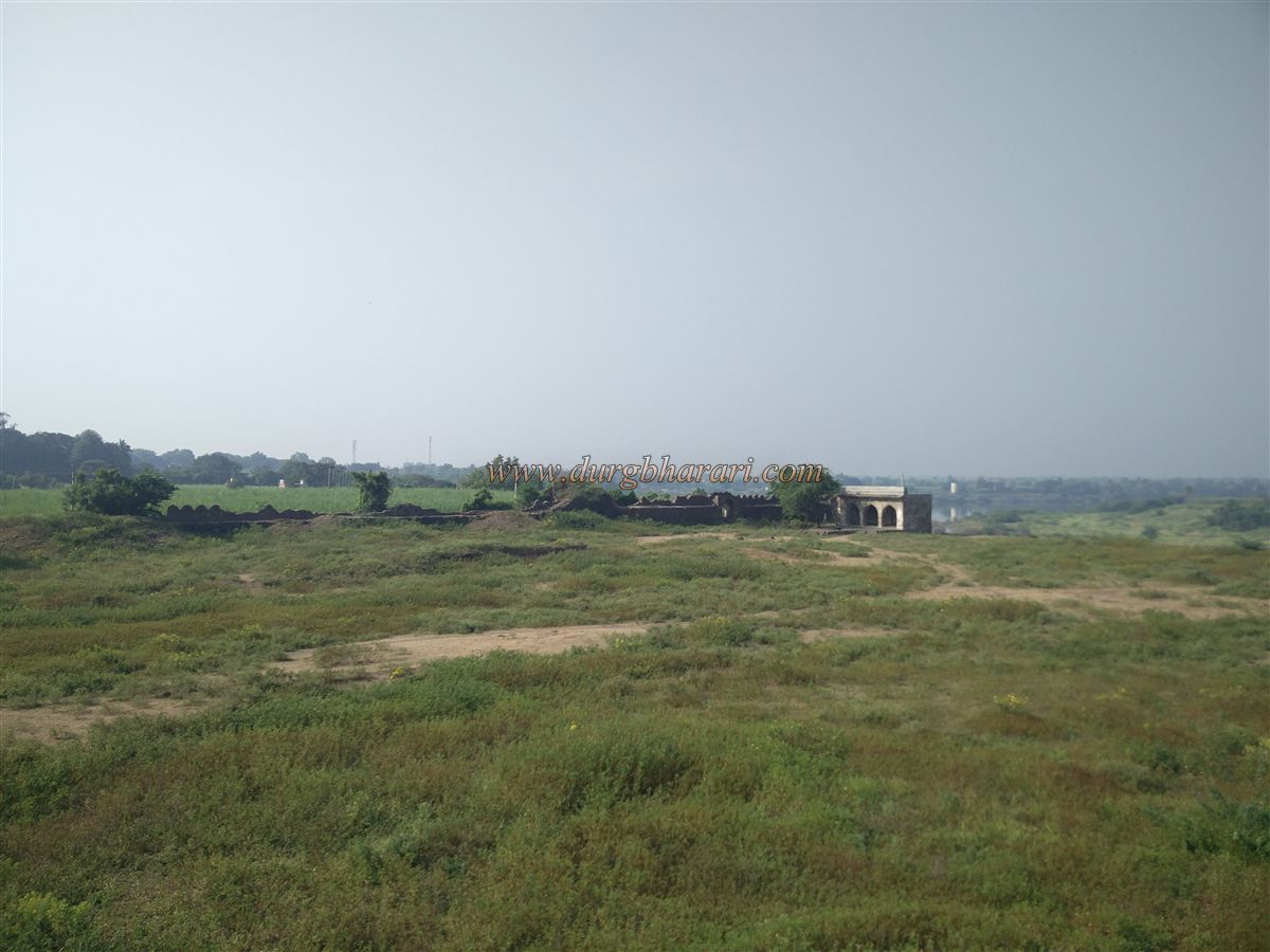
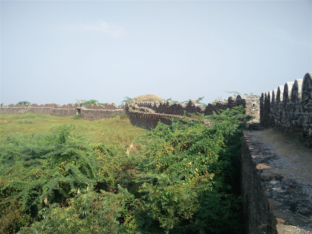
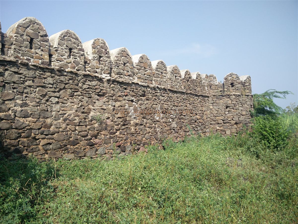
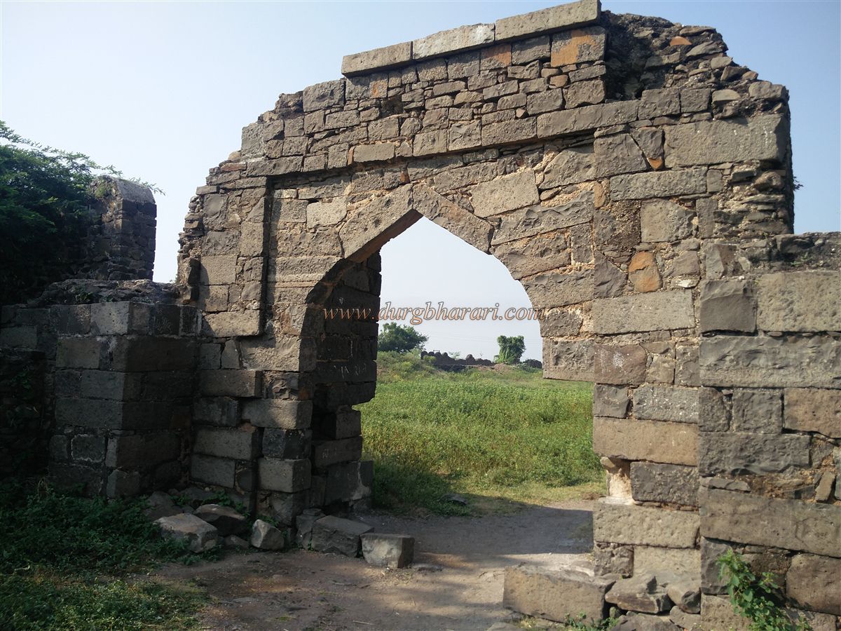
The fort spans approximately three and a half acres, and currently, twelve bastions can be seen in the fort walls. The section of the fort facing the river has been destroyed due to flooding, and the bastions on that side have vanished. However, the remaining fortification stands at a height of 15 to 20 feet and is still in good condition. It is possible to walk along the entire length of the preserved walls. In some places, cement repair work done by the Archaeology Department is visible. There are six sets of stairs to climb the fort walls. In addition to the main entrance, two other gateways are visible.
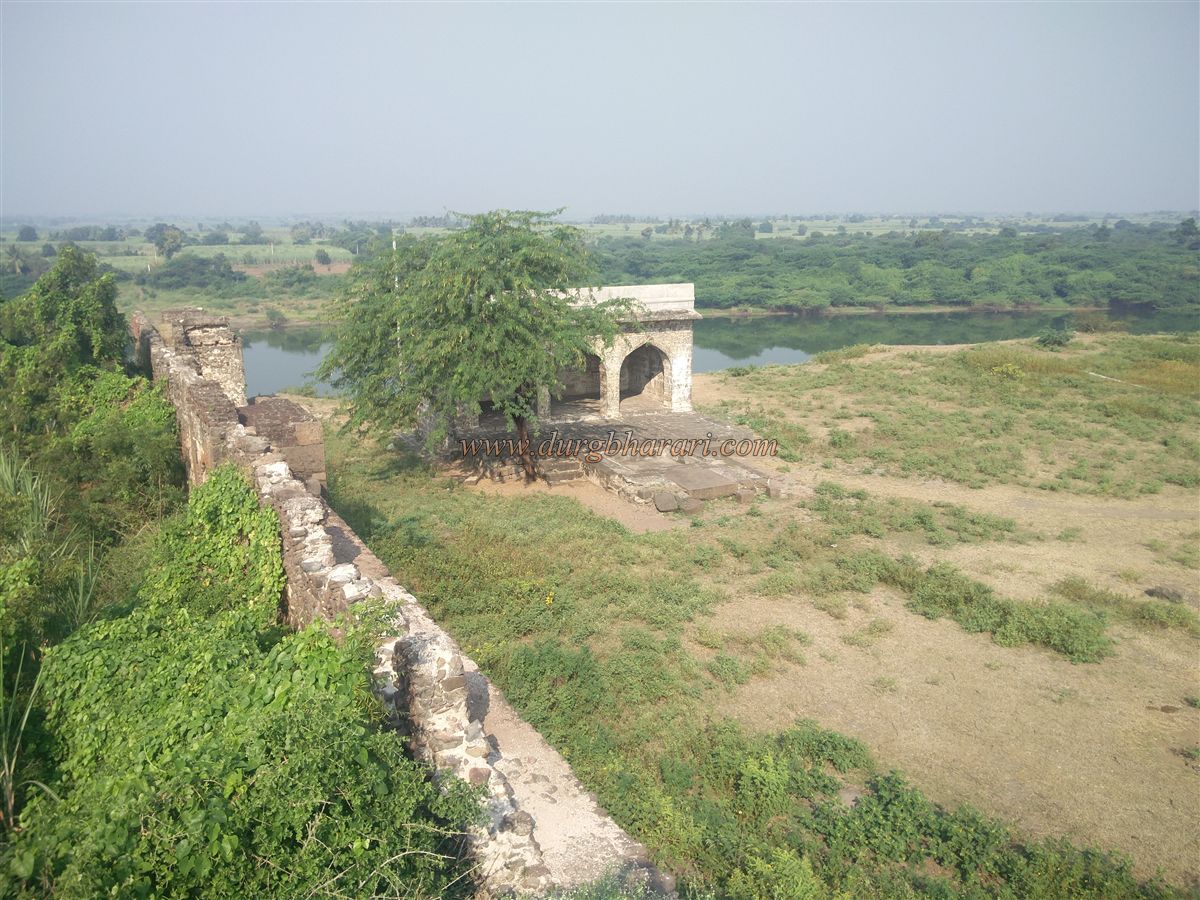
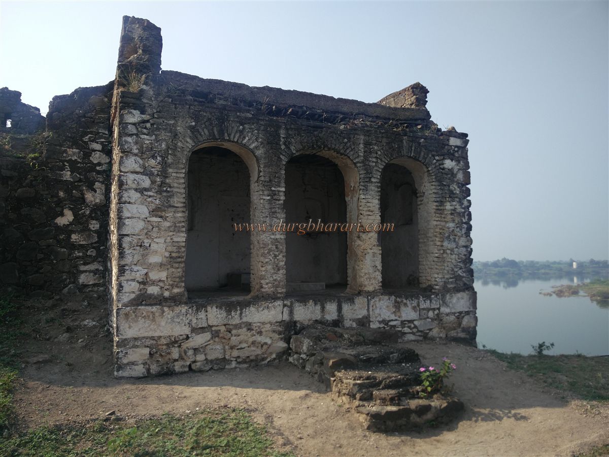
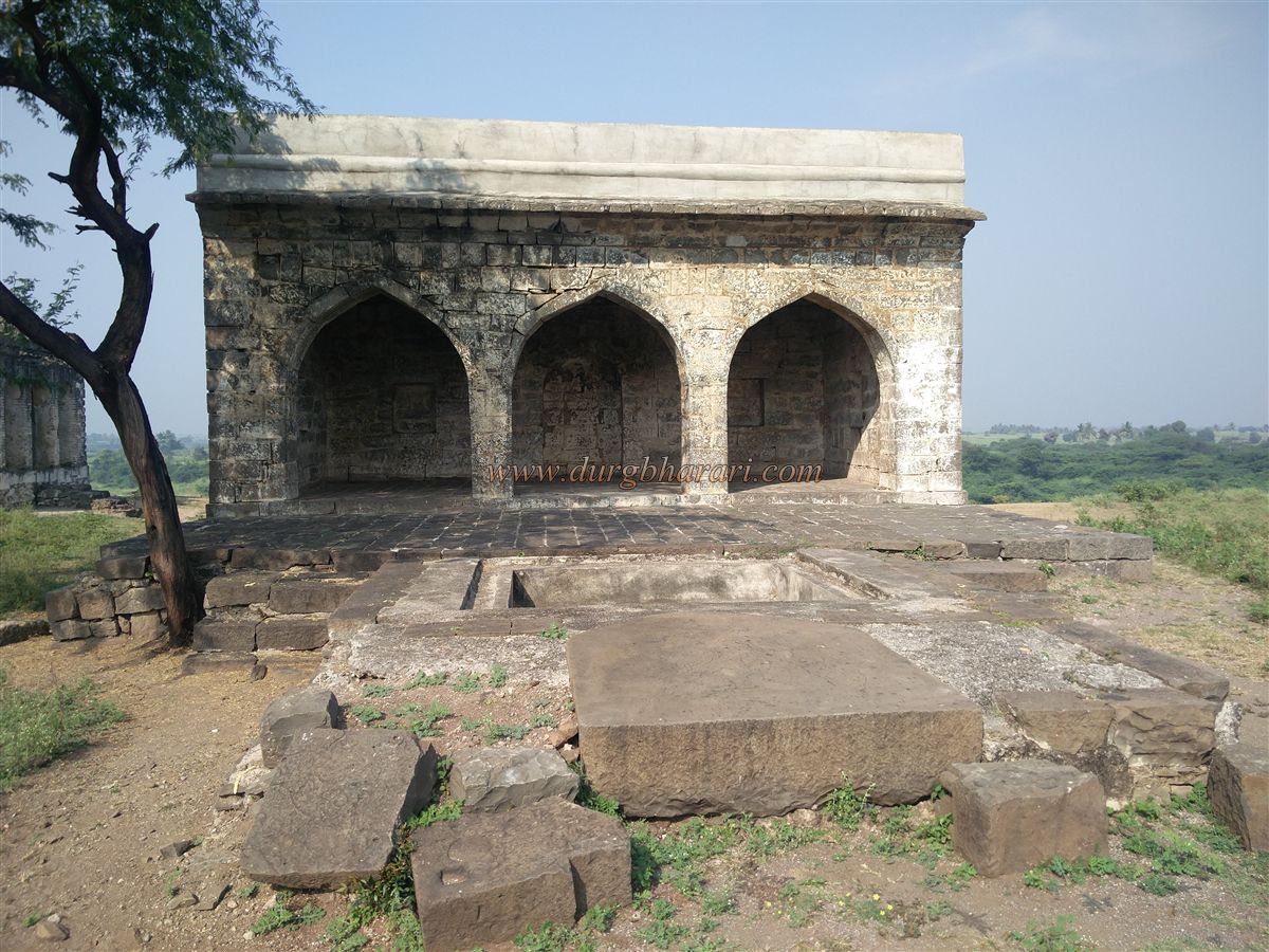
On the opposite end of the fort from the main gate stands the ruins of a mosque. In front of the mosque is a stone water tank. To the left of the mosque, adjacent to the wall, is a simple grave. A Persian inscription can be seen on the wall next to the grave. This grave is said to possibly belong to Aurangzeb's daughter, Zebunnisa. Behind the mosque, one can view the deep bed of the flowing Bhima River in the distance. The collapsed section of the wall and some descending steps suggest that there may have been another gate opening towards the river. Machnur Fort is surrounded on two sides by the Bhima River’s course. The river loops around the fort, giving it natural protection. Strategically, the location of the fort is excellent due to this geographical advantage.
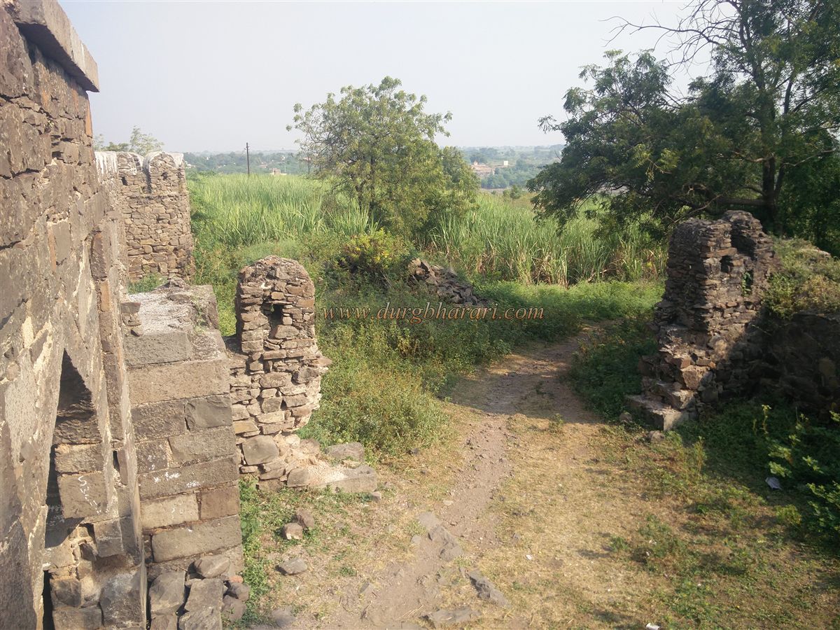
The rest of the fort is overgrown with wild vegetation, and the villagers have not left a single structural remnant or even a stone intact.
© Suresh Nimbalkar
GALLERY