MACHHINDRAGAD
TYPE : HILL FORT
DISTRICT : SANGALI
HEIGHT : 2600 FEET
GRADE : EASY
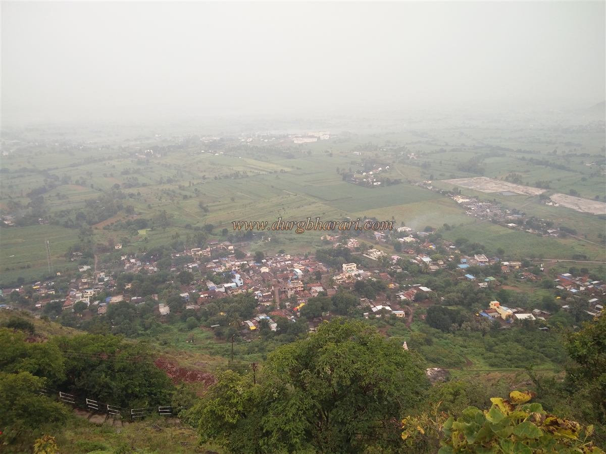
Most of the forts in Maharashtra are named after the deity on the fort or the village around the fort. Machhindragad is one such small watchtower which is famous in the surrounding area due to the temple of Machhindranath. Situated on the border of Sangli-Satara districts, this fort stands on a hill near Kamalbhairava hill in Valva taluka of Sangli district. On the way from Pune, after crossing Karad, a fork breaks on the Mumbai-Bangalore highway from Wathar to Machhindragad. The distance from Wathar to Machhindragad is about 12 km and you can reach Machhindragad village at the foot of the fort by private vehicle. Currently, a paved road is being constructed to reach the fort and in the next few days, the car will reach the fort directly.
...
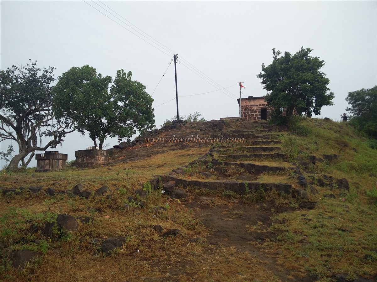
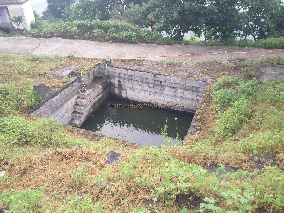
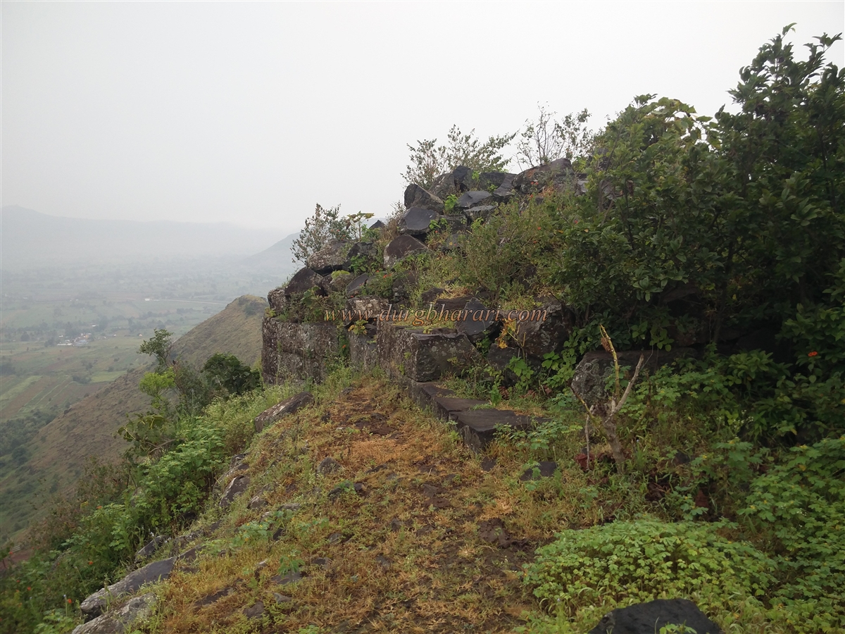
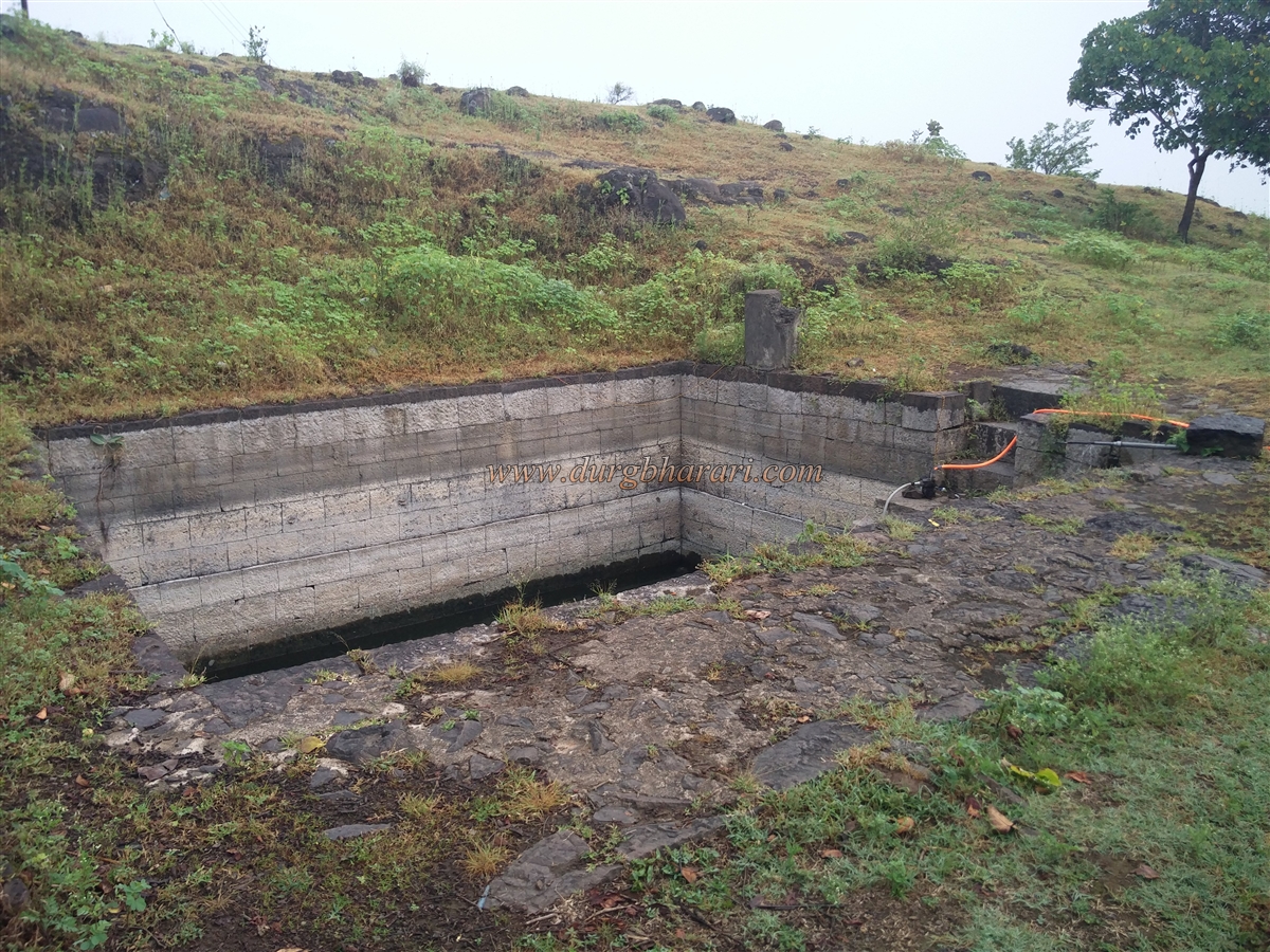
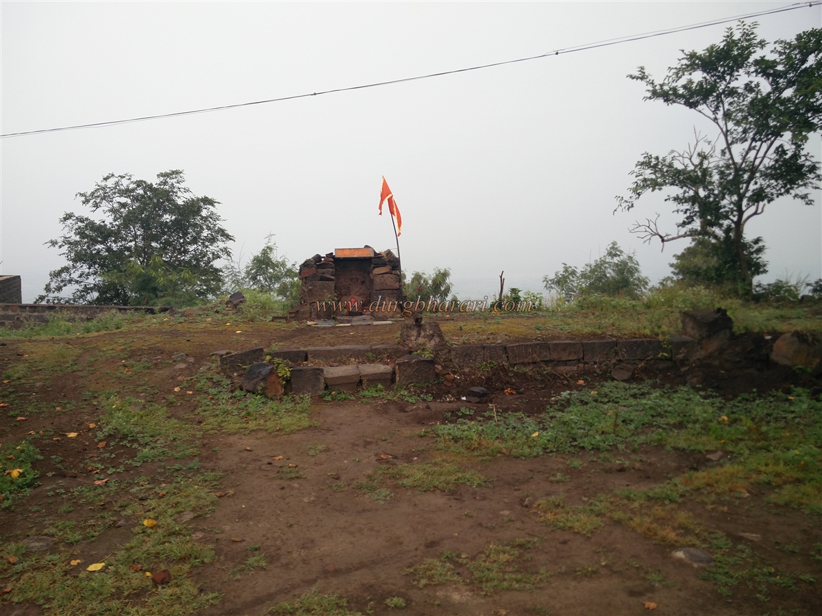
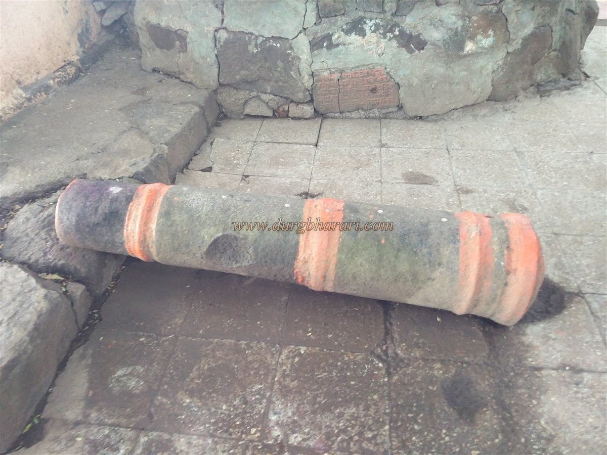
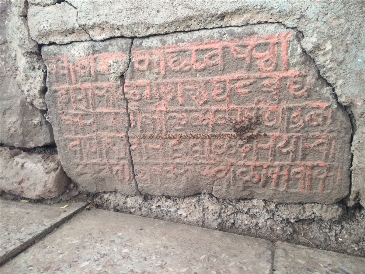
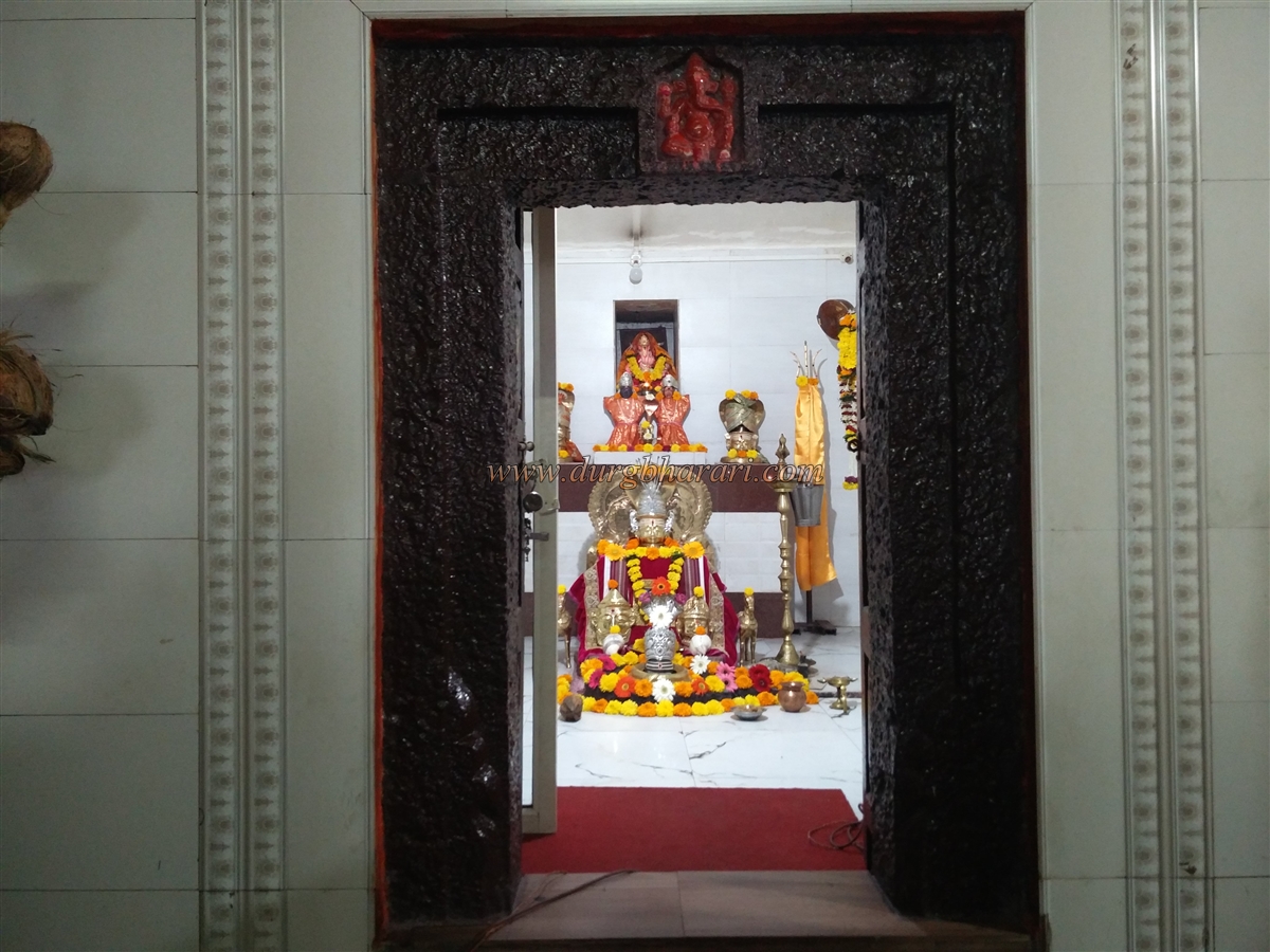
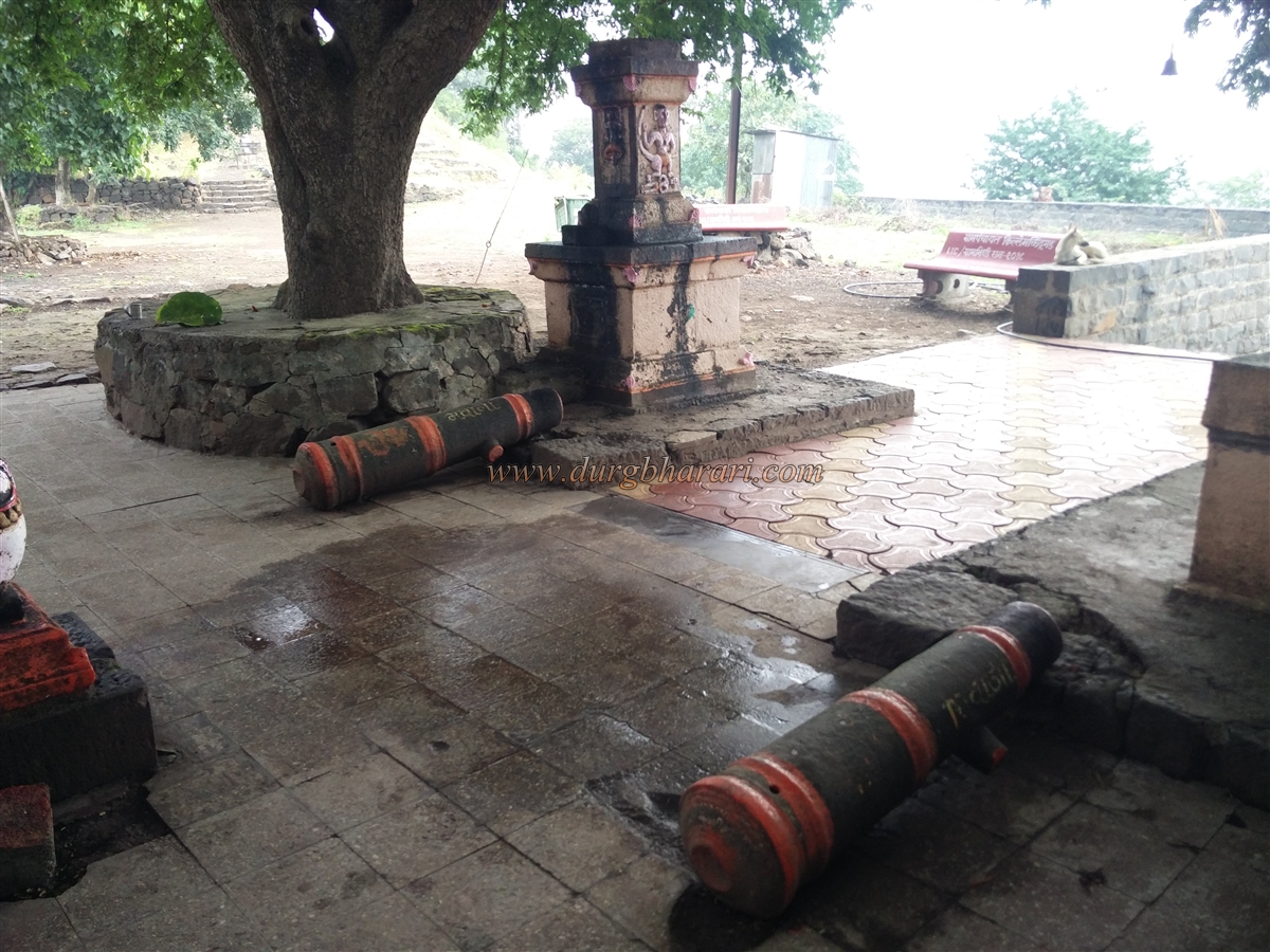
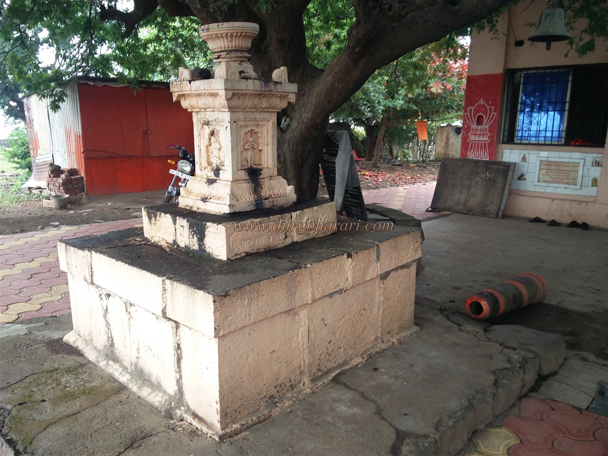
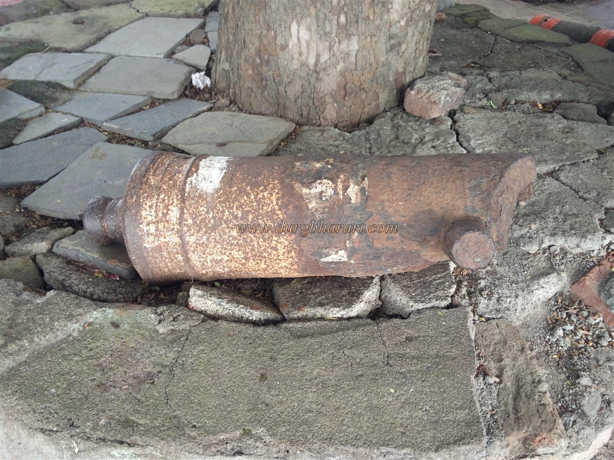
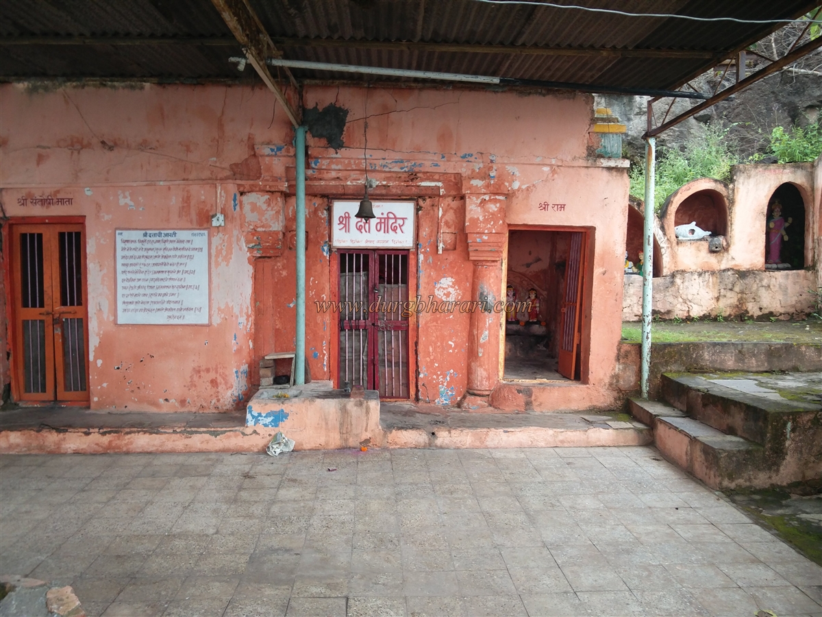
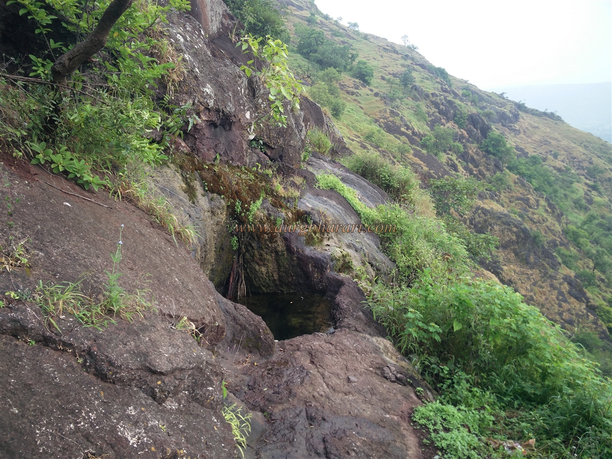
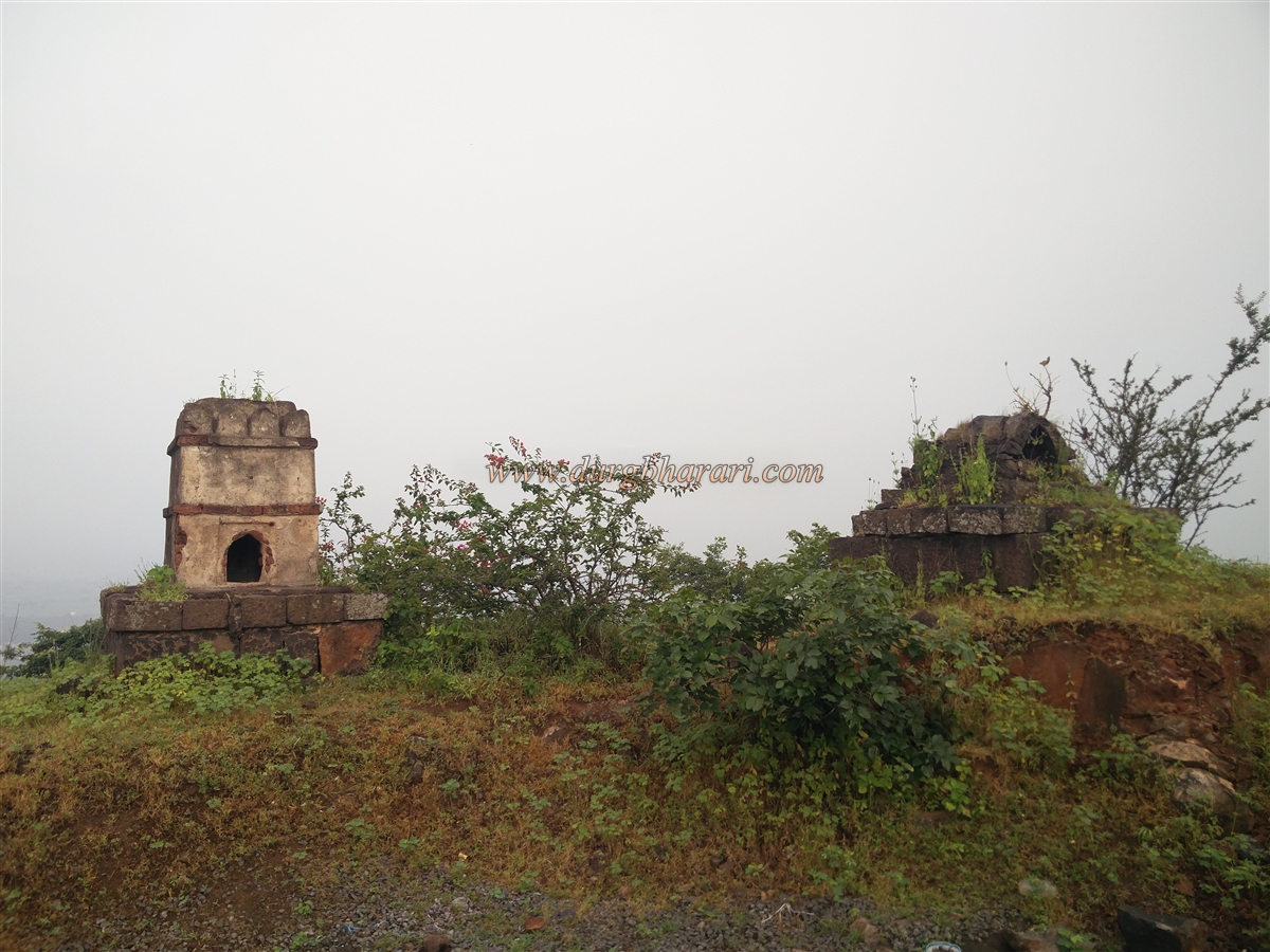
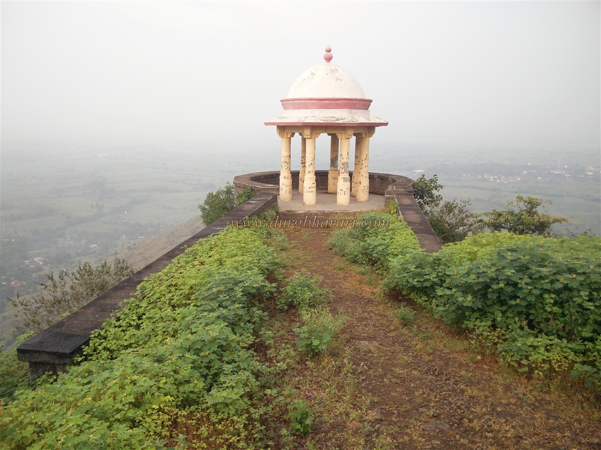
The fort is bounded on the east by Lavanmachi and on the west by Bermadmachi. We reach the top of the fort in half an hour by crossing the ruined ramparts on this footpath or the unpaved road leading to the fort. Located at an altitude of 2545 feet above sea level, the fort is spread over eight acres from south to north. Upon entering the fort by an unpaved road, first, two Samadhis appear on the right. Tulshi Vrindavan is on one of these Samadhis. Below the Samadhi, there is a bastion at the western end of the fort and a shelter for tourists has been erected on this bastion. After seeing the bastion, you can reach the footpath coming from the village of Berdmachi from the south of the fort. After descending some distance along this path without going straight ahead, a large number of remains of the fort can be seen. On this footpath is the ruined east-facing gate of the fort built between two bastions. One of the bastions was destroyed and the other bastion and the adjoining ramparts are still standing to some extent. The bastion at the end of the front door is still standing and has been given more protection by double construction at the bottom. The bastion and ramparts can be seen from outside of the fort. When you return, you will see an ancient temple on the right side of the fort. This is a Datta Mandir and due to the massive renovation of this temple, its original beauty has been lost. A path from the temple is seen descending towards the valley. There are two small water cisterns carved in the rock on this road and one of them has potable water. After looking at the south side of the fort, return to the Machhindranath temple in the center of the fort. The dilapidated house-like structure in front of the temple is Chokhamela’s memorial temple. There are some scattered sculptures in the temple premises, two Tulsi Vrindavans and three small cannons are seen here. One of the cannons is broken. The structure is built around a tree in the yard and the stone from this structure is used for an inscription in Devanagari script. This may be the reason why this inscription has remained safe. The top part of the original stone temple of Machindrnath has been newly constructed and the interior work of the temple is also of recent date. At the back of the temple, there is a dry well and a limestone wheel with a large number of bushes. On the right side of the temple there is a quadrangle structure of a building and at present Gahininath's idol has been installed on it. From here there are stone steps to go to the temple of Gorakshanath built on the hilltop and there are two samadhis enroute. Gorakshanatha's stone temple is at the highest point of the fort and Tulsi Vrindavan is in the front of the temple. At the bottom of the hill, there are water cisterns built of wrought stone, and steps are built to descend into these cisterns. Currently, water from this cistern is used for drinking on the fort. On the other side of the hill, there is a bastion on the north side of the fort. This bastion has been repaired and a shelter for tourists has been erected on it. In front of the bastion, there is a large number of architectural remains and all the ruined ramparts of the fort can be seen from here. This is where your fort round ends. From the top of the fort, Sadashivgad can be seen in the north and Vilasgad in the south. Looking at the strategic location of the fort, it must have been used for surveillance. As the head of the fort is small, one hour is enough for the fort round. After the massacre of Afzal Khan on 10 November 1659, the Marathas bought Manchhindranath Dongar and its environs under their control on 13 November 1659 and February 1660, but seeing Shivaji Maharaj trapped in Panhala fort, Siddi Johar recaptured the fort. Later, between the years 1670-71, this part came back under the control of Marathas. In chitnis bakhar, it is noted that to keep Adilshahi militant Nimbalkar, Gadge (Ghatge) under pressure new forts were built. It is mentioned that Machhindragad was one of the newly built forts. Machhindragad must have been built by Shivaji Maharaj around 1676. In the attack of Aurangzeb the fort fell to the Mughals in 1693 and Devisingh, a Rajput fort keeper, was appointed over it. On 12 November 1693, when Aurangzeb was approaching Machhindragad, the fort chief came down to greet him as per Mughal custom, although Aurangzeb ordered to fire cannons at the fort. The fort was then under the control of the Mughals till the death of Aurangzeb. In 1755, Shahu Raja conquered the fort and handed it over to the pantpratinidhi of Aundh, but in 1763, the fort was captured by Naro Ganesh and Radho Vitthal. But after a while, the fort came back to Madhavrao and it again went to the pantpratinidhi representative. In 1810, Bapu Gokhale took over this fort from the pantpratinidhi. The fort was conquered in 1818 by Colonel Hewitt, an English Officer.
© Suresh Nimbalkar
GALLERY