MACHALDURG
TYPE : HILL FORT
DISTRICT : KOLHAPUR
HEIGHT : 2467 FEET
GRADE : MEDIUM
Machal is a newly developed tourist destination in the Sahyadri range due to its cool flow of air in the Konkan. Maharashtra Tourism Development Corporation has included this place in the category B tourist destination. Many people visit the cave of Muchakundi sage on the plateau of Machal village, but no one is familiar with Machaldurg, which is known by the name of the village. I did not even know that there was a fort here called Machaldurg until Guru Appa Parab mentioned the name of Machal as Machaldurg. Guruvarya Appa Parab in his concluding speech on the Panhala-Pavankhind-Vishalgad expedition mentioned Machaldurg in front of Vishalgad and this fort was included in the list of my forts but its location was not confirmed. While discussing with many, does Machal have a fort?
...
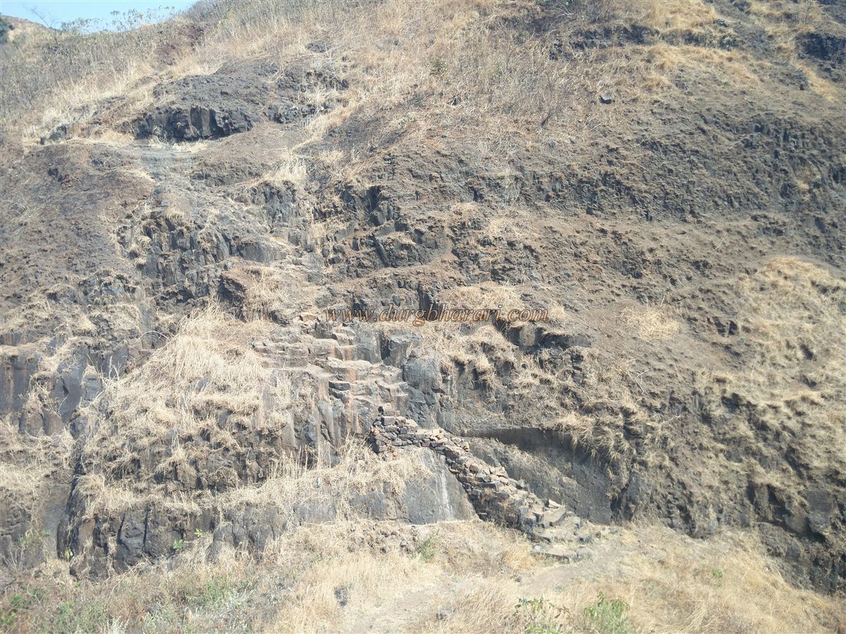
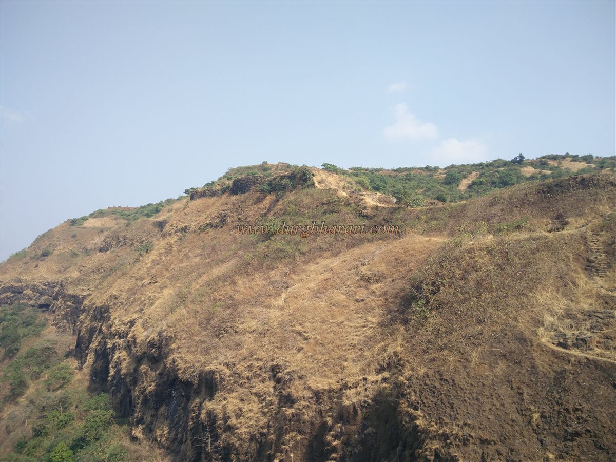
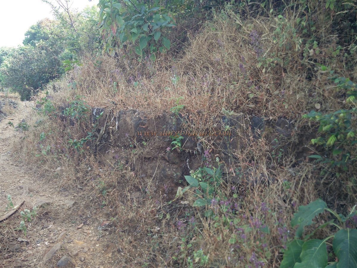
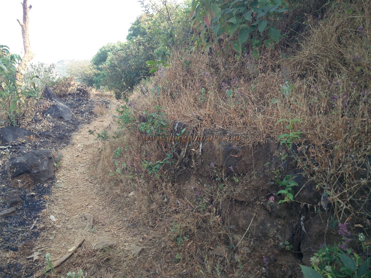
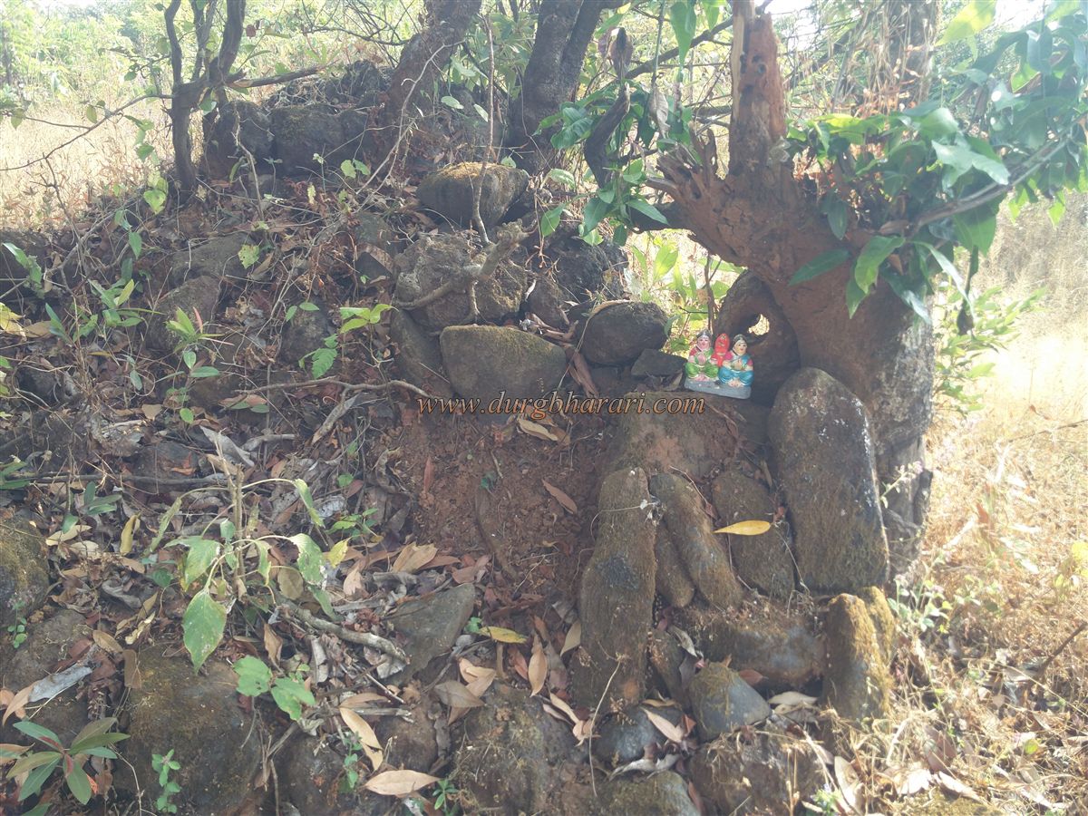
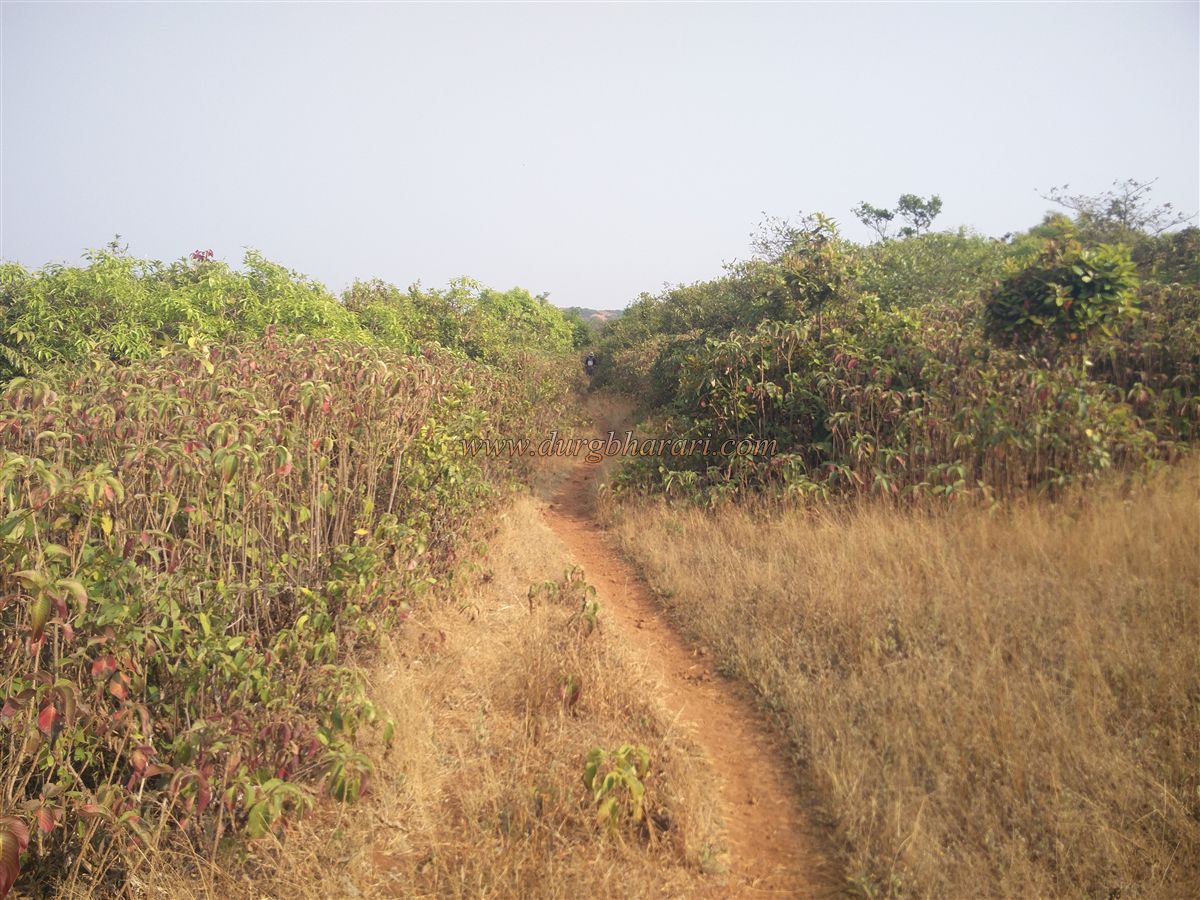
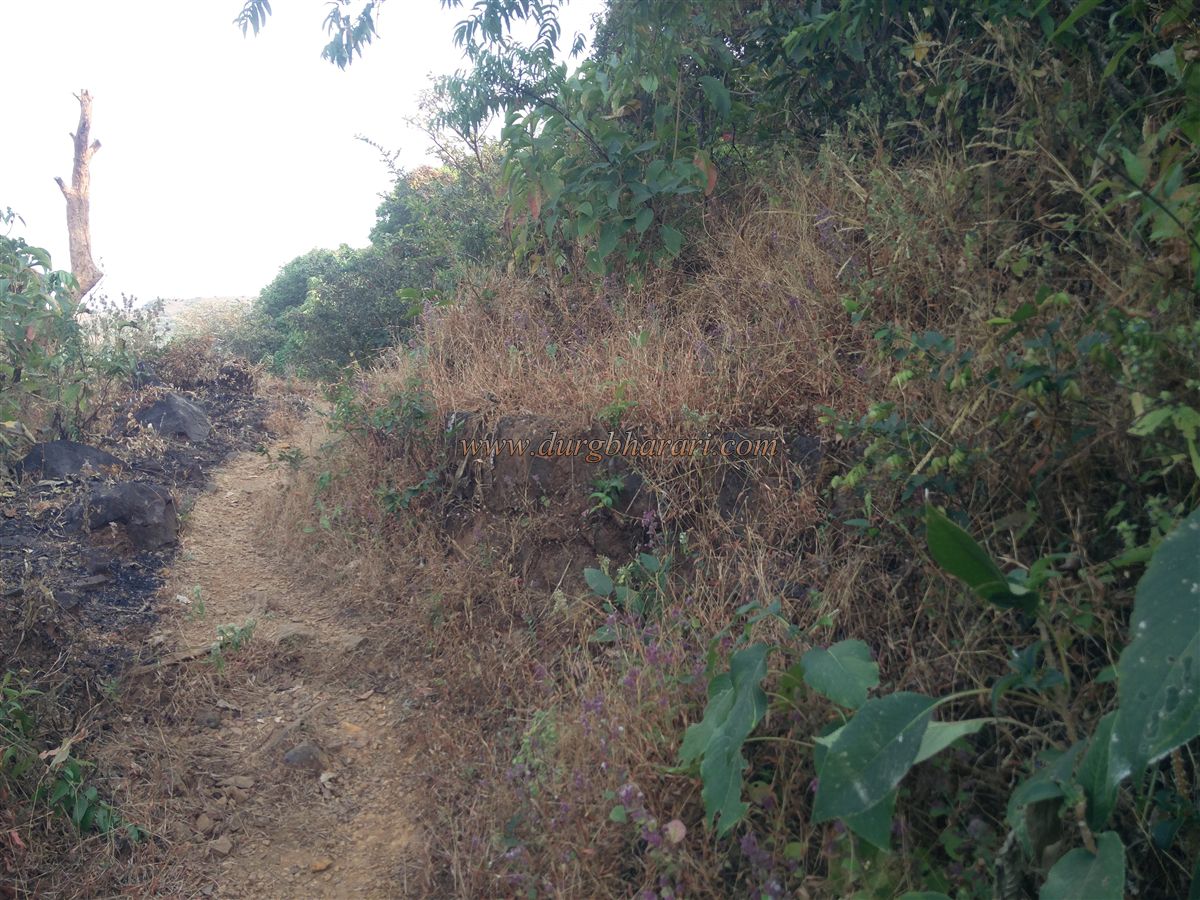
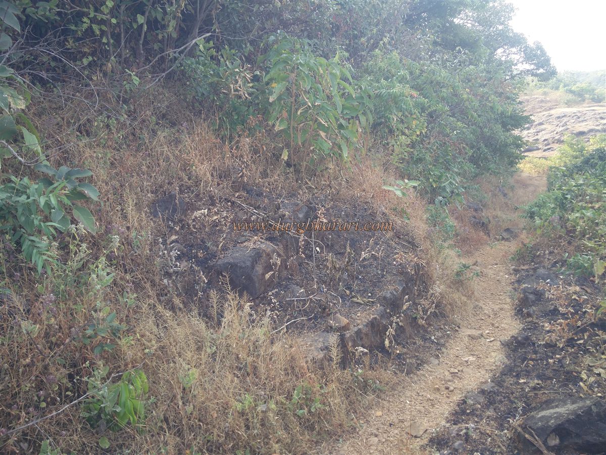
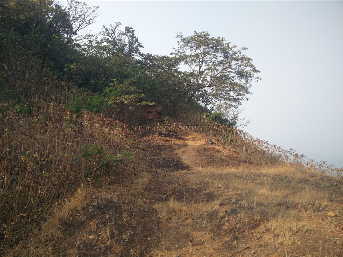
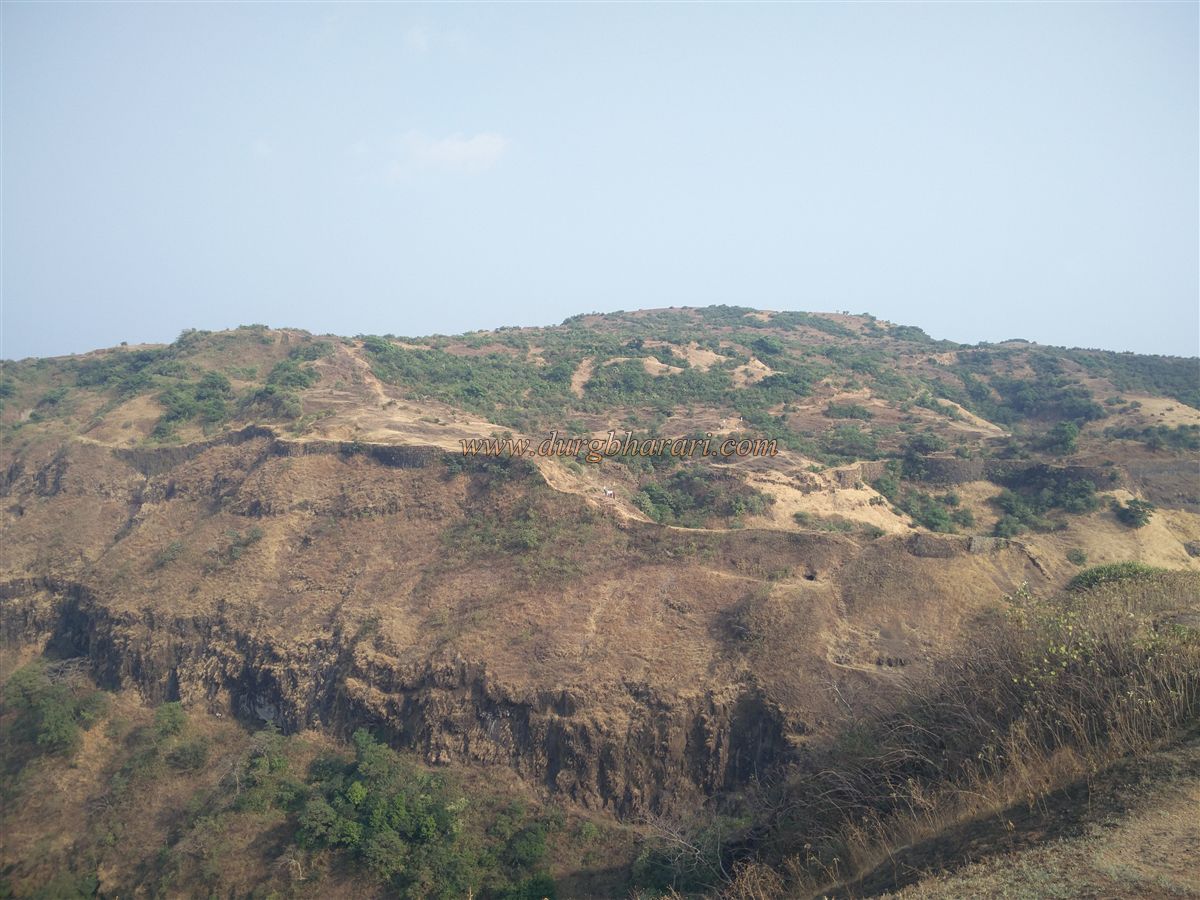
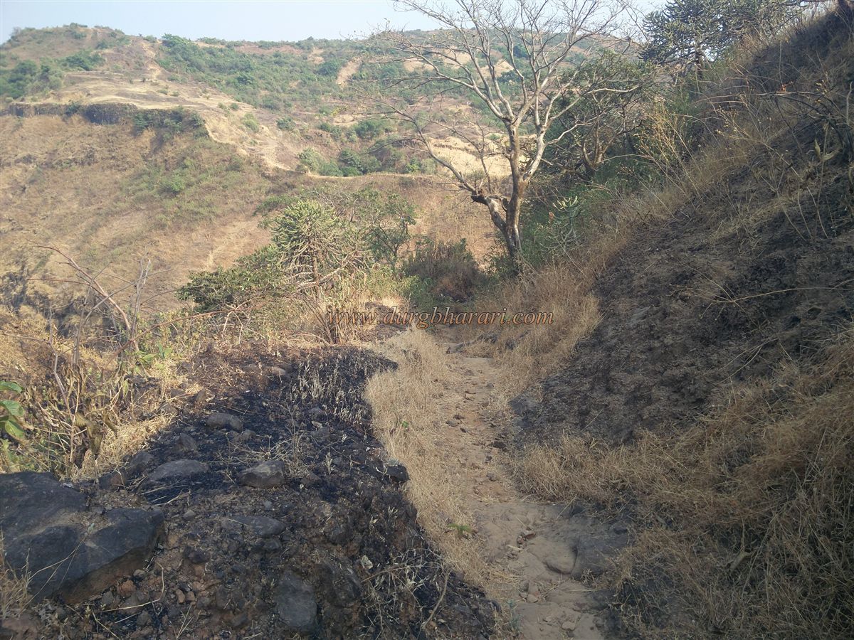
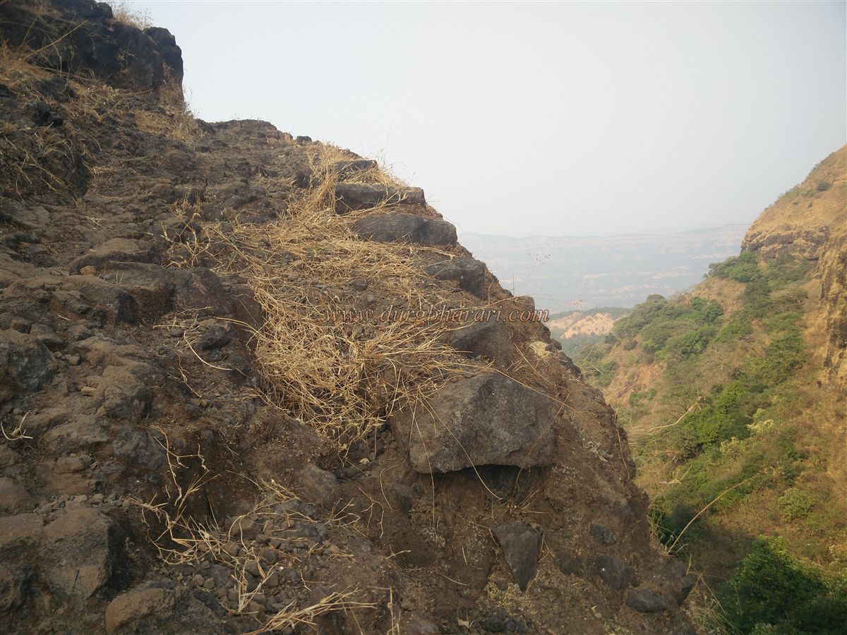
Finally, Shiv Prasad Shewale, a young fort scholar from Kolhapur, informed us that there were remnants of this fort on the hill in front of Vishalgad and accordingly we decided to search for this fort. I have tried to present here all the things that I saw and felt in this exploration of Machal. Chinchurti village is at a distance of 32 km from the place of Lanja taluka in the Ratnagiri district of Konkan. From here it takes about half an hour to reach Machal village. It takes another 45 minutes to reach the hill of Machaldurg from Machal village to the northeast of the village. The nearest way to reach Machal fort is from the Konkan Gate of Vishalgad. You can go down the valley through the Konkan Gate and reach the hill of Machaldurg which is full of bushes in front. It takes only half an hour to reach the fort through the Konkan Gate and the villagers of Machal use this route to reach Vishalgad. The remains of the fort, however, have to be searched on the hill. Going down the valley through the Konkan gate and climbing the hill of Machal, 15-20 steps have been built in the valley adjacent to the hill of Machal. As you start to climb the hill with this footpath, you can see some of the wrought stones in the ramparts on the edge of the valley in the direction of the neighboring Vishalgad. On the way to the top of the hill, you can see the ramparts that have turned into mounds in some places. When you reach the top of the hill by footpath, keep the top on the left and the valley on the right and keep walking. After walking a short distance you will see the base of a circular bastion. From here, to see the rest of the remains, you have to search through the bushes and the edge of the valley. A path leads to the bush above the bastion. In these trees, you can see some small structures. In addition to this, in one place near the tree, you can see some stones in the shape of an idol but now it has been completely flattened. After crossing this tree, you can see the foundations of two more ruined bastions on the slope towards Vishalgad. The rest of the remains have been destroyed on a large scale due to trees and bushes. The height of the fort is 4000 feet above sea level and this triangular-shaped fort is spread over about 3 acres but the top of this fort is completely covered with bushes. It takes about one and a half hours to find the remains hidden in trees and bushes. In Adnyapatra book, it is said that if there is another hill near the fort obstructing its vision, it should be broken or brought under the control of the fort. According to this book, the structure of Machaldurg is found but there is no mention of this fort during Shivaji Maharaj’s period. This means that during Shivaji Maharaj’s period, the fort must have been abandoned or there should be only a watchtower here.
© Suresh Nimbalkar
GALLERY