KUNJARGAD
TYPE : HILL FORT
DISTRICT : NAGAR
HEIGHT : 4721 FEET
GRADE : MEDIUM
Akole Taluka in Ahmednagar district is rich in forts, and Harishchandragad is perhaps the favourite among trekkers. Enchanted by its natural beauty, almost every trekking enthusiast visits it at least once. To monitor the various routes leading to this fort in ancient times, four forts were built in its surrounding hill range — Kunjargad (Kombadgad), Bhairavgad (Kothale), Kaladgad, and Bhairavgad (Shirpunje). Of these four hill forts, Kunjargad is one of the lesser-known ones.
From Malshej Ghat, a spur of the Sahyadri runs eastward, known as the Balaghat range. This ridge starts from Harishchandragad and, near Malshej Ghat, forms the boundary between Pune and Ahmednagar districts. In this range, to the east of Harishchandragad, lies Kunjargad — also called Kombadgad — which functioned as a watch fort.
...
There are two routes to Kunjargad. On one side lies the village of Phophsundi, and on the other, the village of Vihir. Phophsundi is situated on the plateau at the ridge-top, requiring a long trek to reach, while the route from Vihir involves less exertion. From Mumbai, one can reach Vihir via Malshej Ghat – Otur – Baman wada – Kotul, or via Mumbai – Ghoti – Bhandardara – Rajur. Vihir is a small hamlet of just a few houses. From behind the village, in the north, Kunjargad looks like a huge elephant sprawled across the landscape. In Sanskrit, "Kunjar" means elephant, which may have evolved into the name Kunjargad.
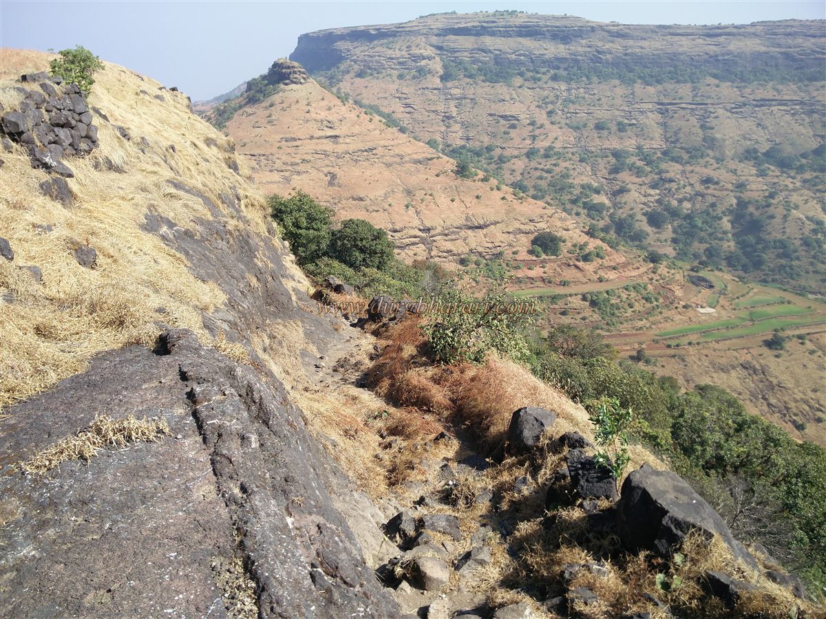
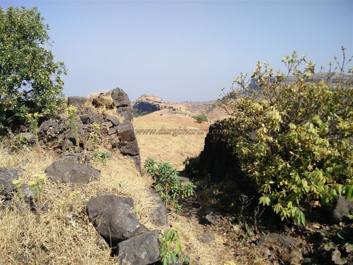
The climb to the fort begins at the base in Vihir village. Two paths lead up: one goes up the hill to the right of Kunjargad, past a natural cave, before reaching the fort; the other goes through the pass between the fort and its right-hand hill. The second route is quicker and allows one to see all the ruins. The initial path is a normal trail, followed by a steep climb that reaches about three-quarters of the pass height, then turns left. From there, the trail skirts the hill, keeping the fort on the right.
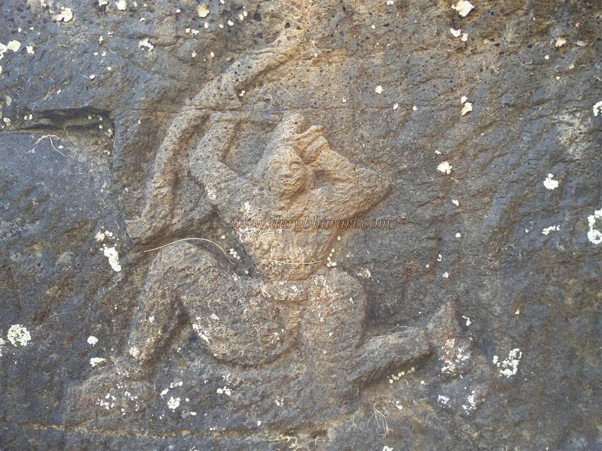
Along this route, the first sight is of two statues placed in the open among the trees — one of Hanuman and the other of a deity locals call Kaloba. Continuing along the path hugging the cliff and through karvi bushes, one reaches the pass between two hills in about half an hour. Here, the route from Phophsundi also joins. The ruined fort wall becomes visible ahead. From this point, one can either take a trail left to the steps leading to the fort or climb a little over the broken wall on the right for a direct entry. To see all remains, the stepped route is preferable.
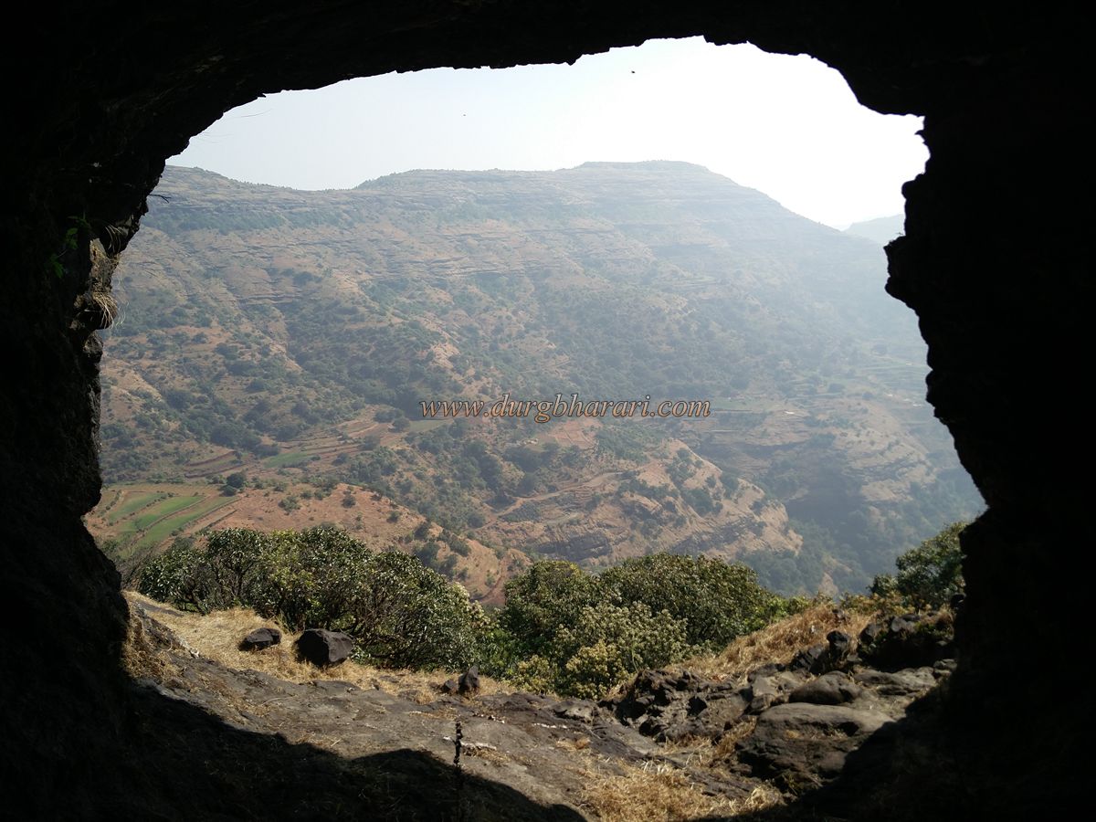
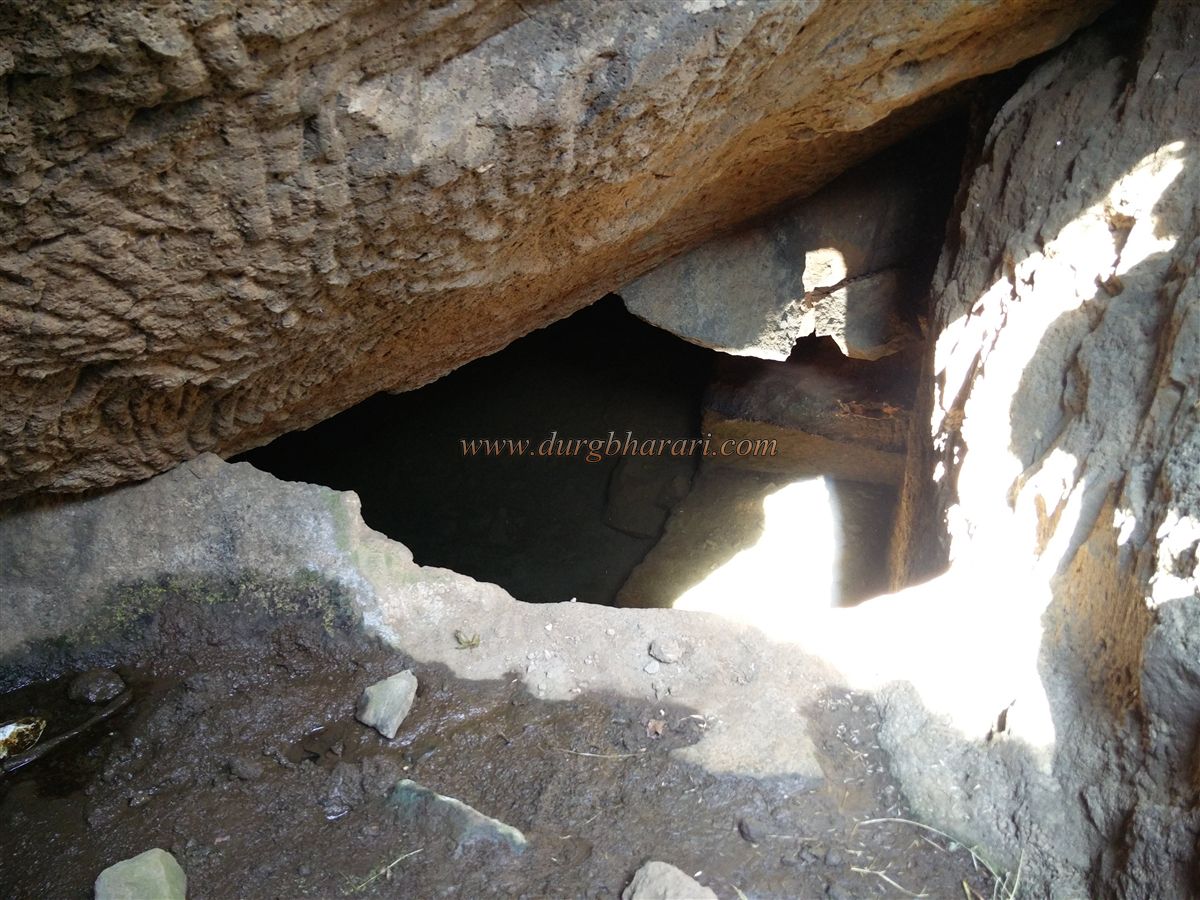
At the final ascent, stone-cut steps lead up to the fort. At the start of these steps is a partially carved natural cave. Just before it, a parallel path to the right along the cliff leads to the fort’s greatest wonder — a rock-cut cave facing Phophsundi, with a natural tunnel passing east to west through the hill. This tunnel is barely wide enough for one person to crawl. Entering requires a torch and caution: first crawling for a distance, then lying down and turning left through a small hole, pulling the body inside. The tunnel gradually widens, and in two minutes, one emerges on the Vihir side. The mouth can accommodate four to five people standing together.
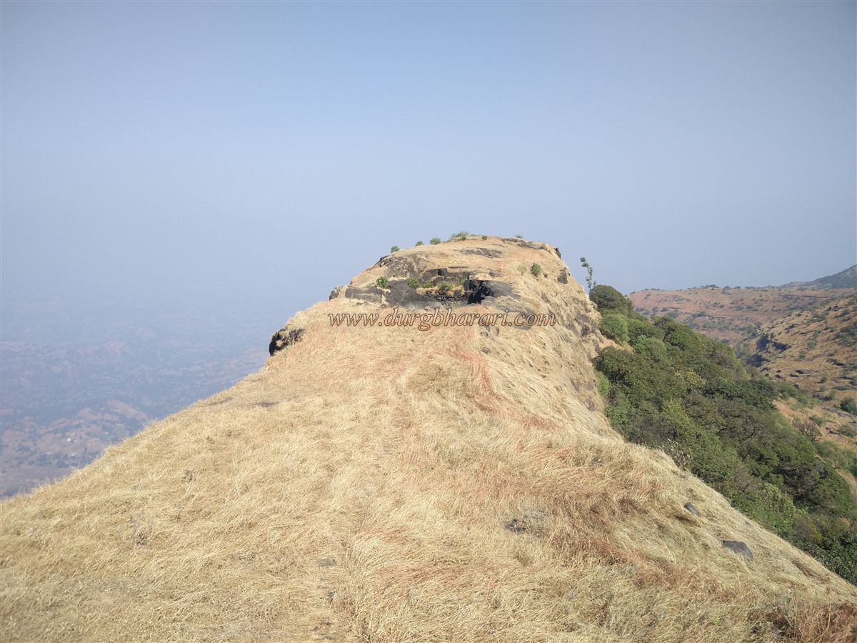
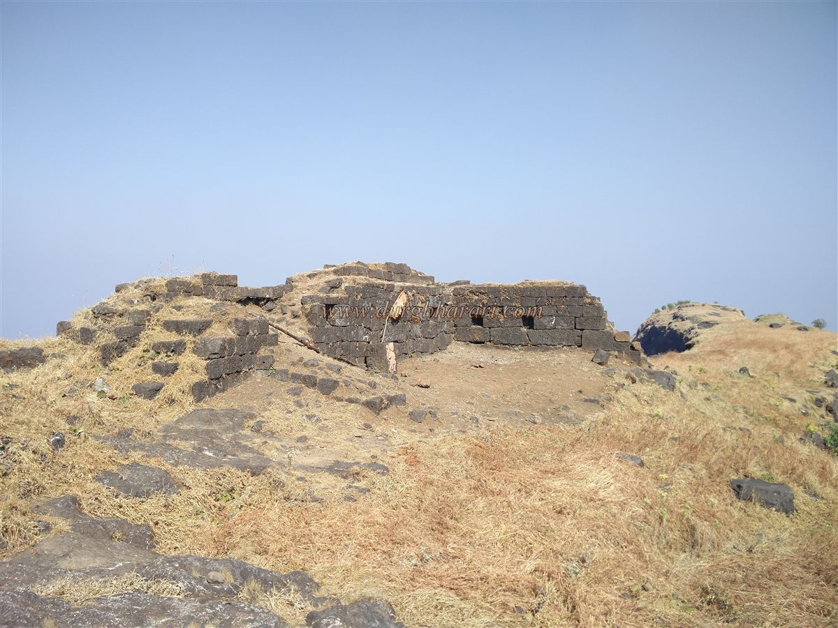
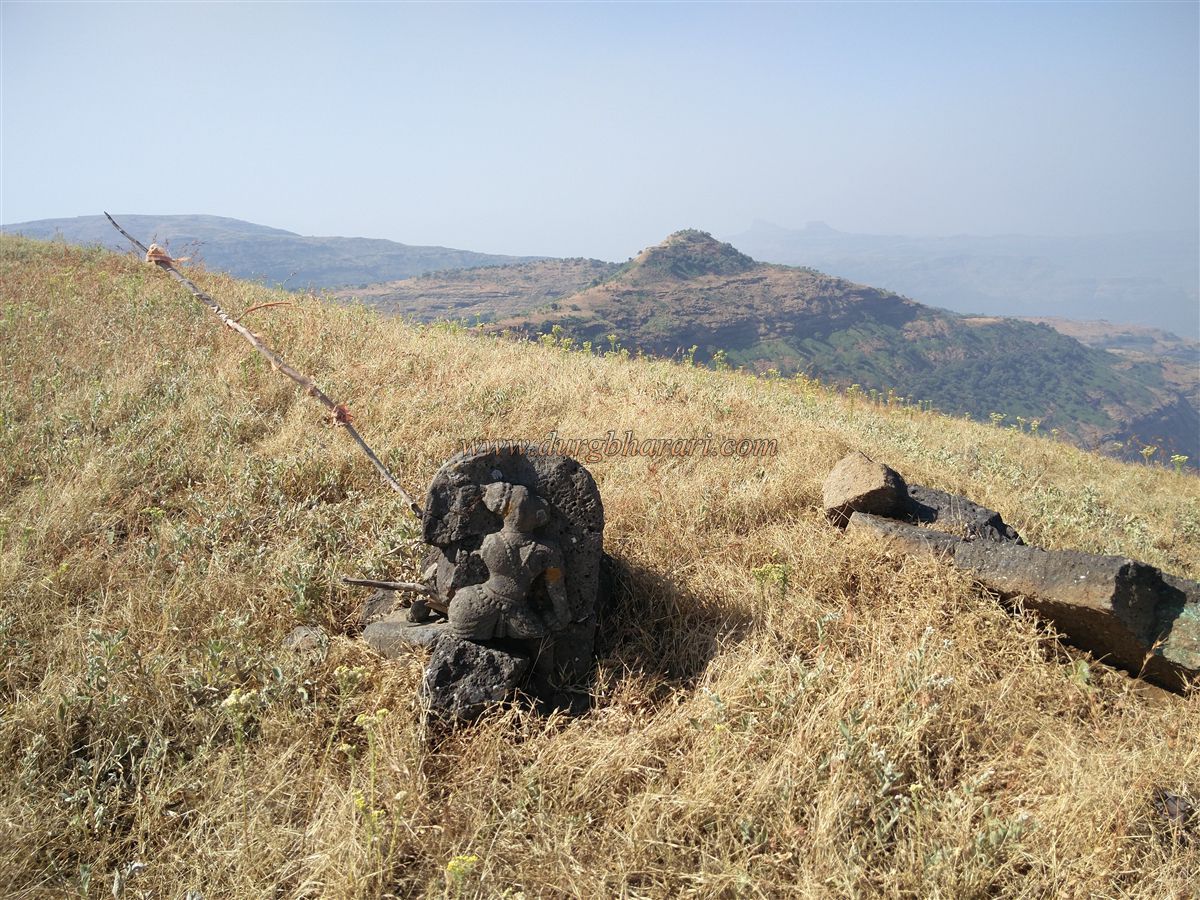
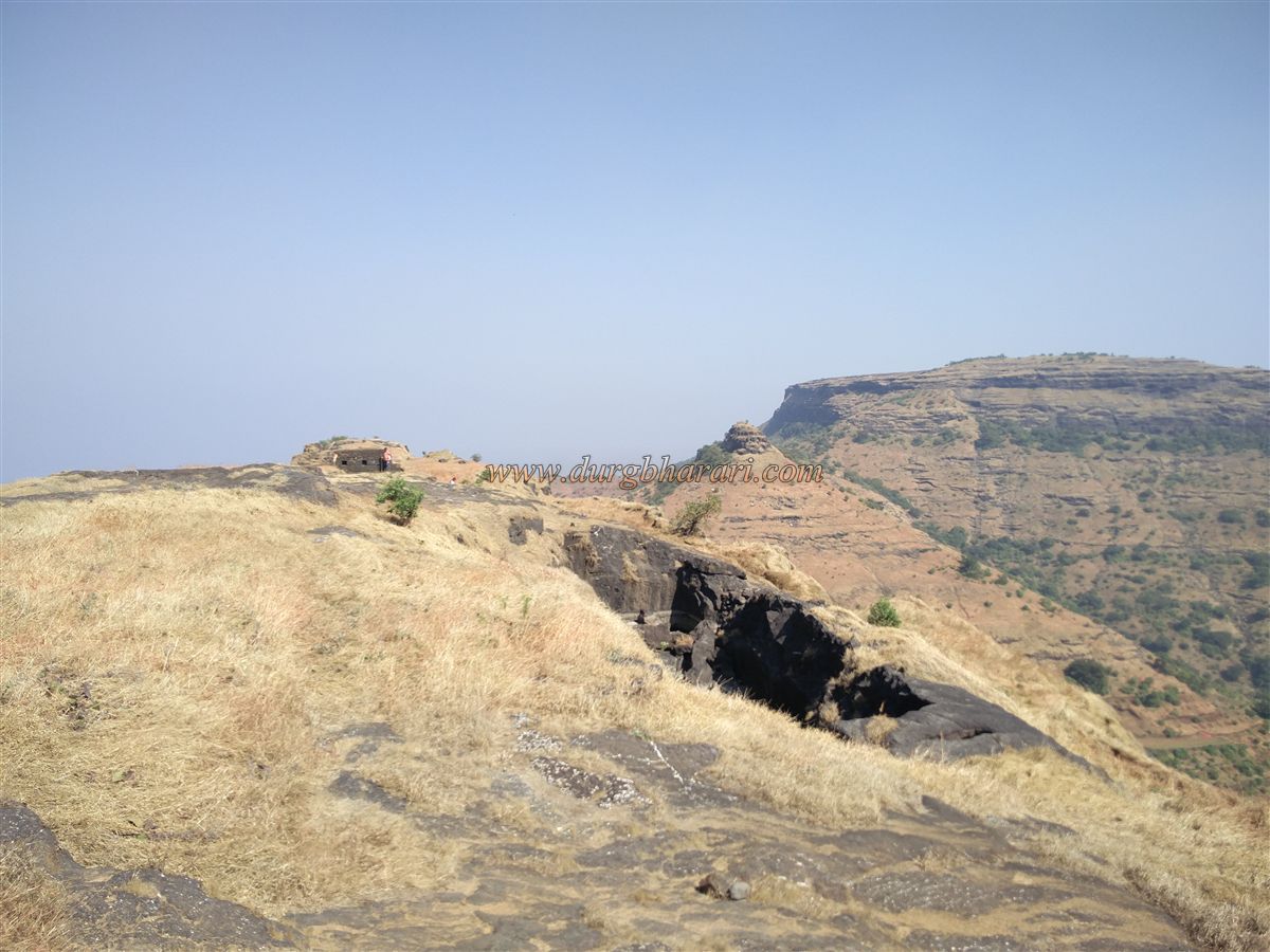
Returning to the main path, one climbs the steps through the ruined gateway and reaches the fort in about an hour and a half from the base. Directly ahead are the remains of a ruined structure, beside which is a Hanuman statue. The fort’s right side is a narrow ridge with only a ruined twin water tank. From this end, vast landscapes can be seen.
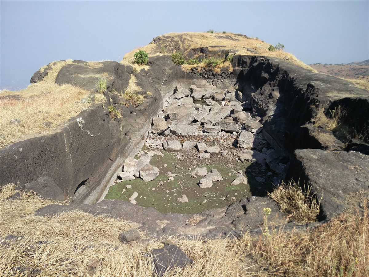
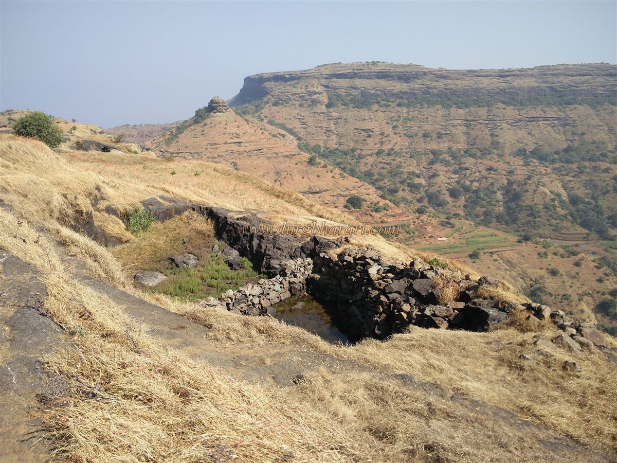
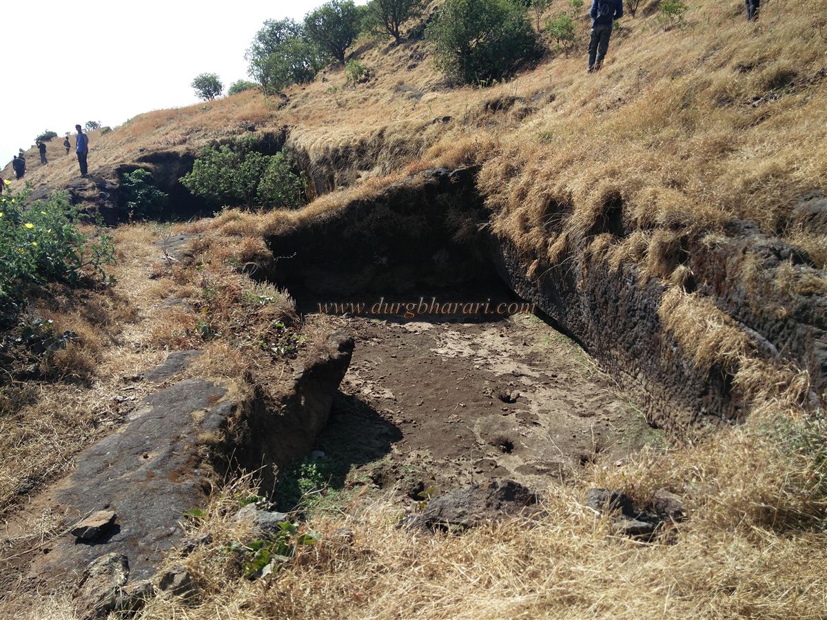
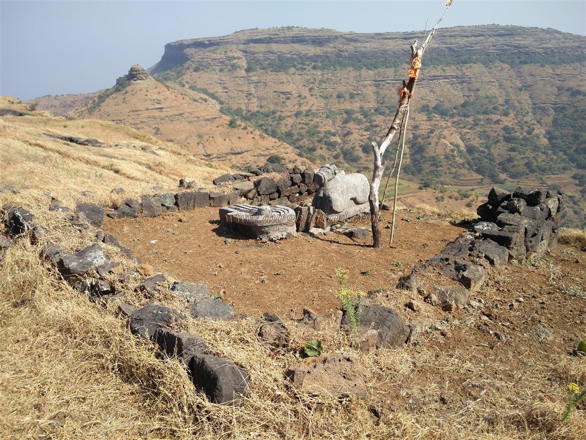
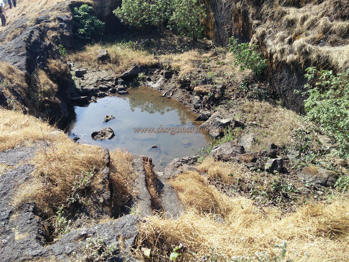
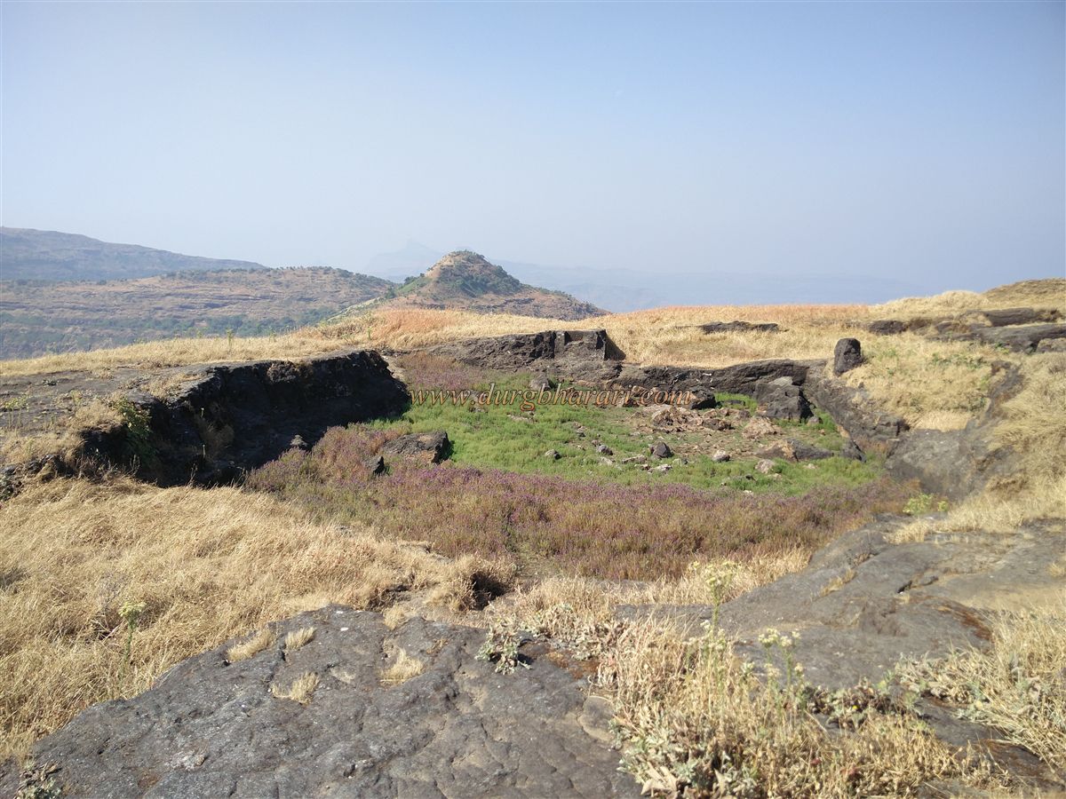
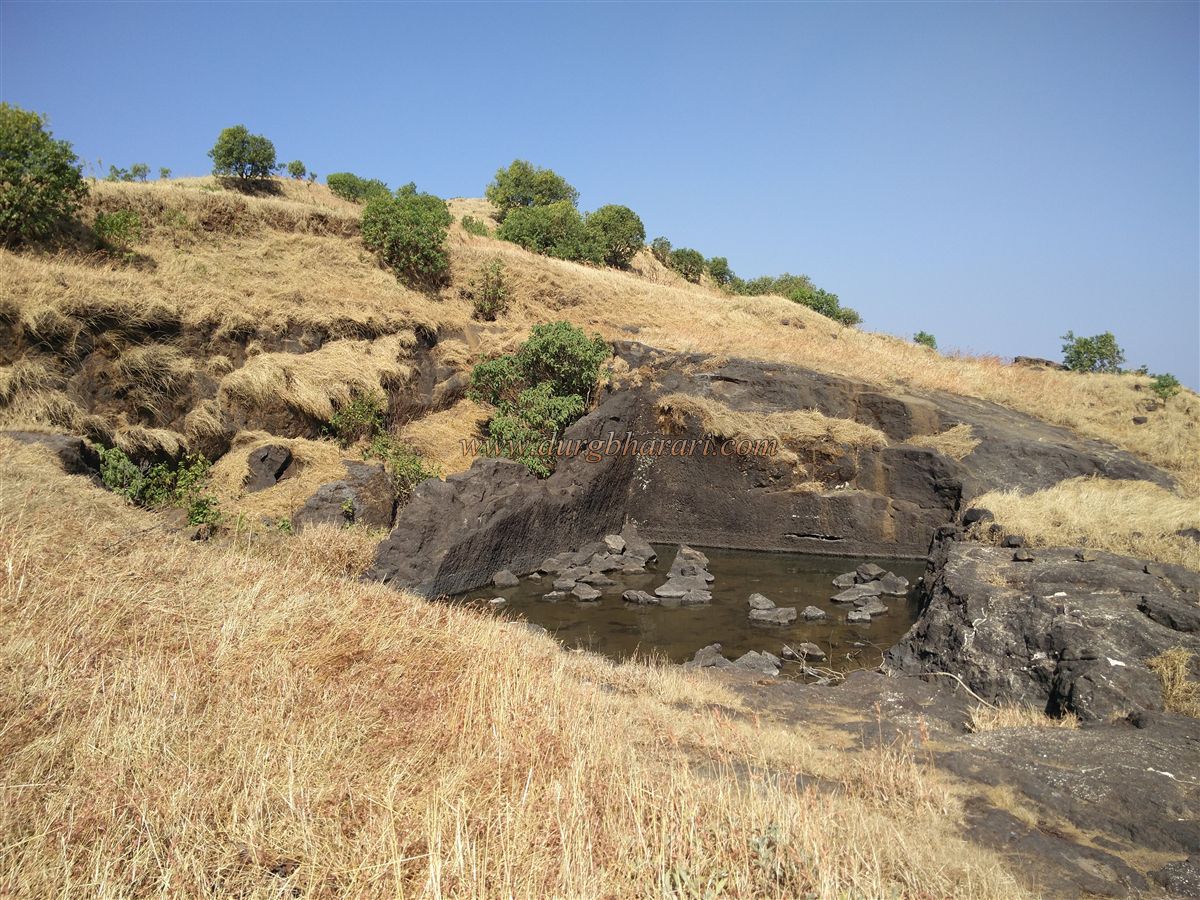
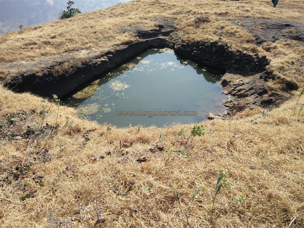
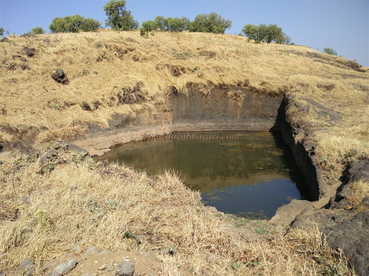
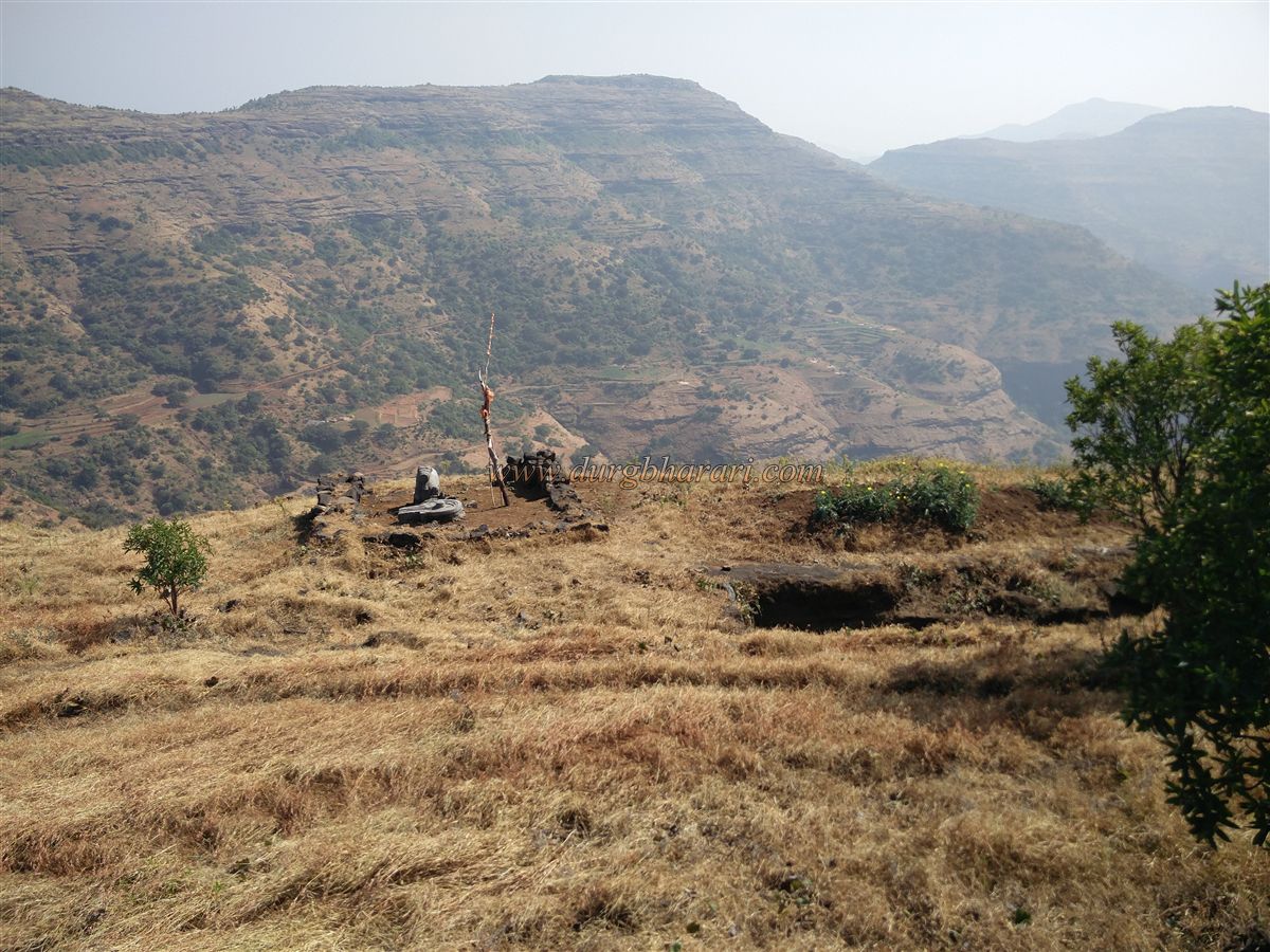
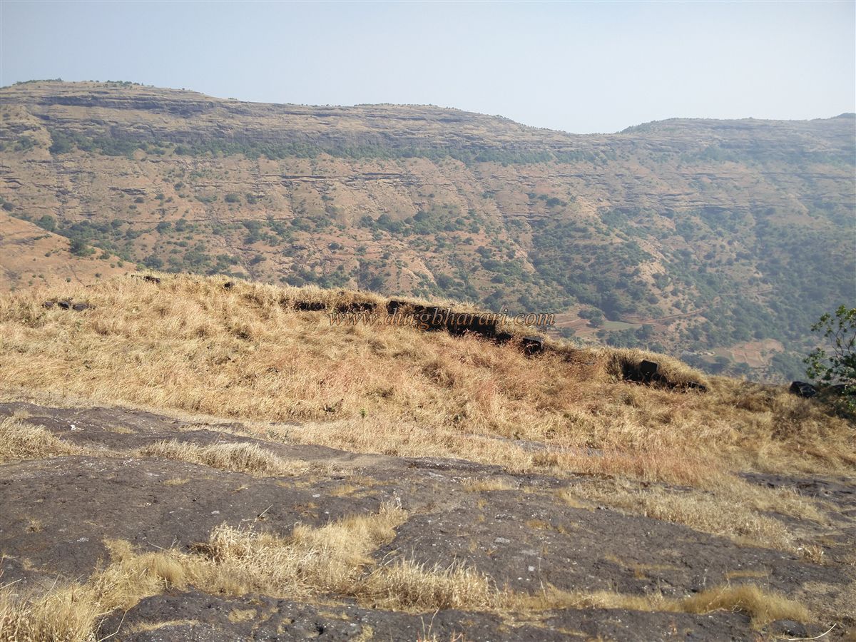
The fort spans about seven acres north to south, with most remains to the left of the entrance. On this side are five dry tanks, one of which is a twin tank and another a seasonal rainwater tank. Nearby is a small ruined structure with a newly built cement Nandi and Shivling, and a broken Hanuman idol in the grass. To the right, on a small hill, are the remains of a large building, likely the fort commander’s wada and office. Behind it, downhill, are six more rock-cut tanks, one of which is in a crevice and provides potable water until April–May. On the wall of one large twin tank are two worn carvings.
From the fort top, one can see Hadsar, Nimgiri, Sindola, Harishchandragad, Kaladgad, Ajoba, Ghanchakkar, Bhairavgad, and the Kalsubai range. Returning to the gateway marks the end of the tour, which takes about an hour.Locals say the hill opposite Kunjargad has three caves used to shelter cattle in the monsoon. Instead of returning the same way, one can descend via this hill to see the caves before reaching Vihir.
Historically, Kunjargad is briefly mentioned — in October 1670, after the battle of Dindori, Chhatrapati Shivaji Maharaj came here. The Maratha army rested at this fort, and the wounded from Dindori were treated here.
© Suresh Nimbalkar
GALLERY