KOLDHER
TYPE : HILL FORT
DISTRICT : NASHIK
HEIGHT : 3950 FEET
GRADE : HARD
Nashik district is considered a holy land (Devbhoomi) because of its rich heritage of ancient temples and rock-cut caves. However, for fort enthusiasts like us, it is better known as a land of forts (Durgabhoomi) due to the presence of over 65 forts in the ranges of Selbari-Dolbari, Tryambak-Anjaneri, and Ajanta-Satmala within the Sahyadri Mountains.
In the Chandwad Taluka of this district, the Ajanta-Satmala hill range is home to forts like Koldher, Rajdher, Indrai, Chandwad, Mesna, and Katra. Among these, Chandwad Fort, located near the Nashik-Dhule highway, requires rock climbing to reach, so most trekkers avoid it. The other forts like Mesna, Katra, and Koldher are relatively unknown due to the lack of major remnants. However, with a private vehicle and well-planned time management, these six forts can be visited comfortably in a span of three days.
...
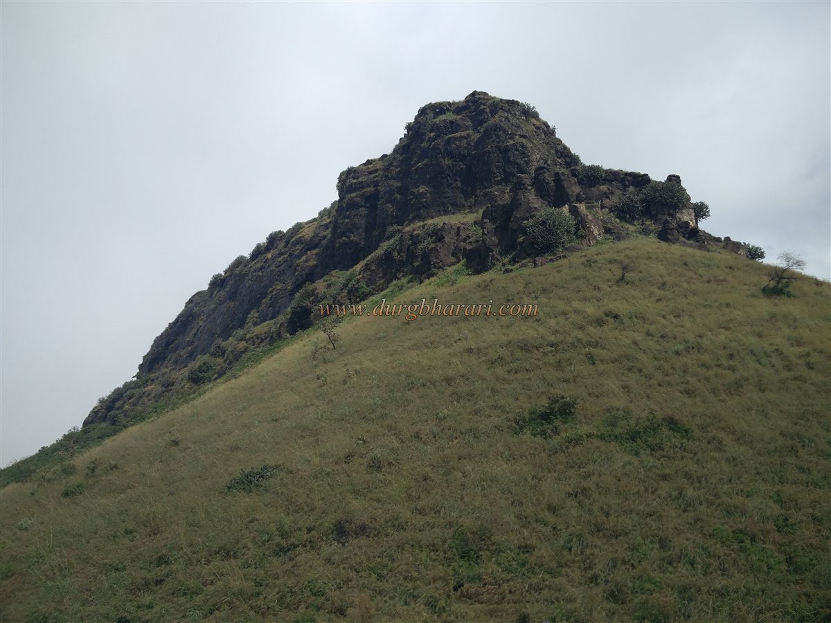
The first fort in this region is Koldher Fort. The village of Rajdherwadi, situated at its base, is about 10 km from Chandwad, the taluka headquarters, and around 70 km from Nashik city. This village nestles in the lap of Koldher, Rajdher, and Indrai forts. As one enters Rajdherwadi, Rajdher Fort is seen to the right and Indrai Fort to the left. Since Koldher Fort lies behind Rajdher, it remains hidden unless one climbs the plateau behind the village.
Apart from Rajdherwadi, another approach to the fort is via Tangdi-Shirur village, located on the Chandwad road while traveling from Nashik to Deola and taking a turn at Sogras Phata. From the village bund (dam) in Tangdi, a trail leads to Koldher Pass, keeping the fort on the left side throughout the climb. However, this path is rarely used, making the route from Rajdherwadi more convenient. Also, one can undertake a day-long trek covering Rajdherwadi–Koldher–Rajdher in one go.
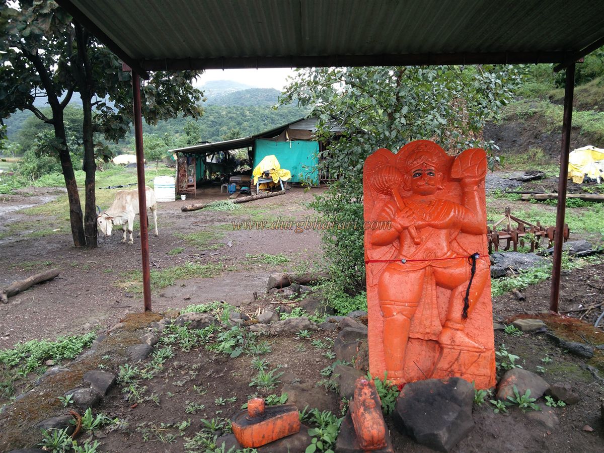
From Rajdherwadi, walk or drive 2 km on a dirt road towards the dam and then ascend the plateau. On this path, one comes across a beautiful five-foot-high idol of Lord Hanuman. Once on the plateau, by keeping Rajdher Fort to the right and walking for about 30 minutes, you reach the edge of the valley that separates Koldher Fort and the plateau. From here, the entire Koldher Fort is visible. By turning right and walking along the valley ridge (valley on the left, cliffs on the right), you reach Koldher Pass, where the trail from Tangdi village joins.
It takes about 1.5 hours to reach the pass from Rajdherwadi and 2.5 hours from Tangdi. A rock here has been smeared with vermillion and is worshipped. The path from the pass to the fort is steep and climbs up to a plateau below the pinnacle in about 30 minutes. On this plateau, to the left of the trail, there is a recently installed idol of Lord Hanuman in the open.
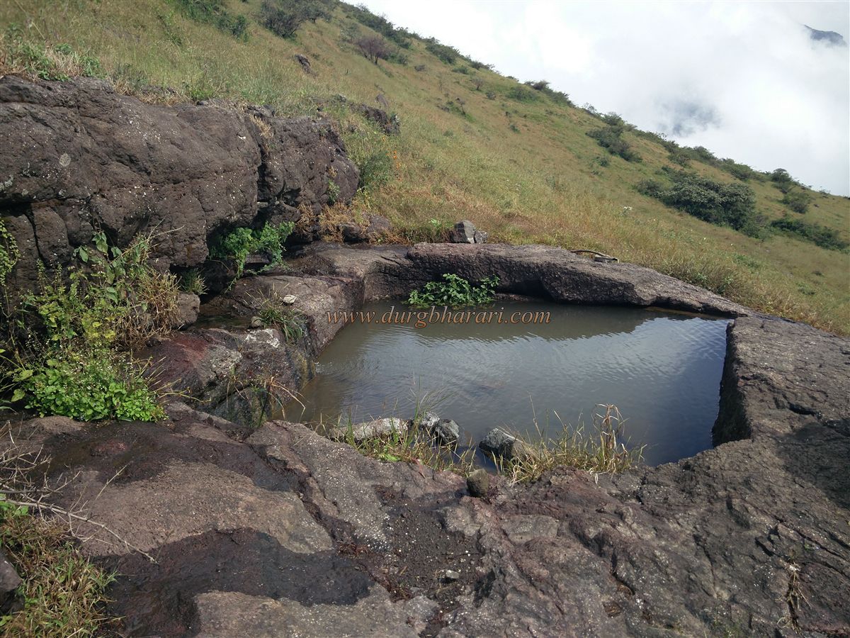
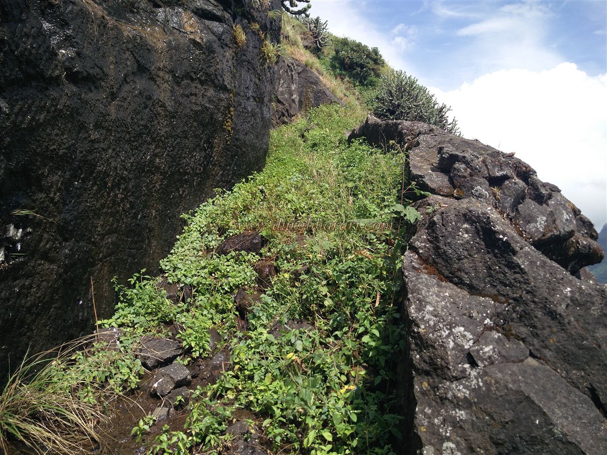
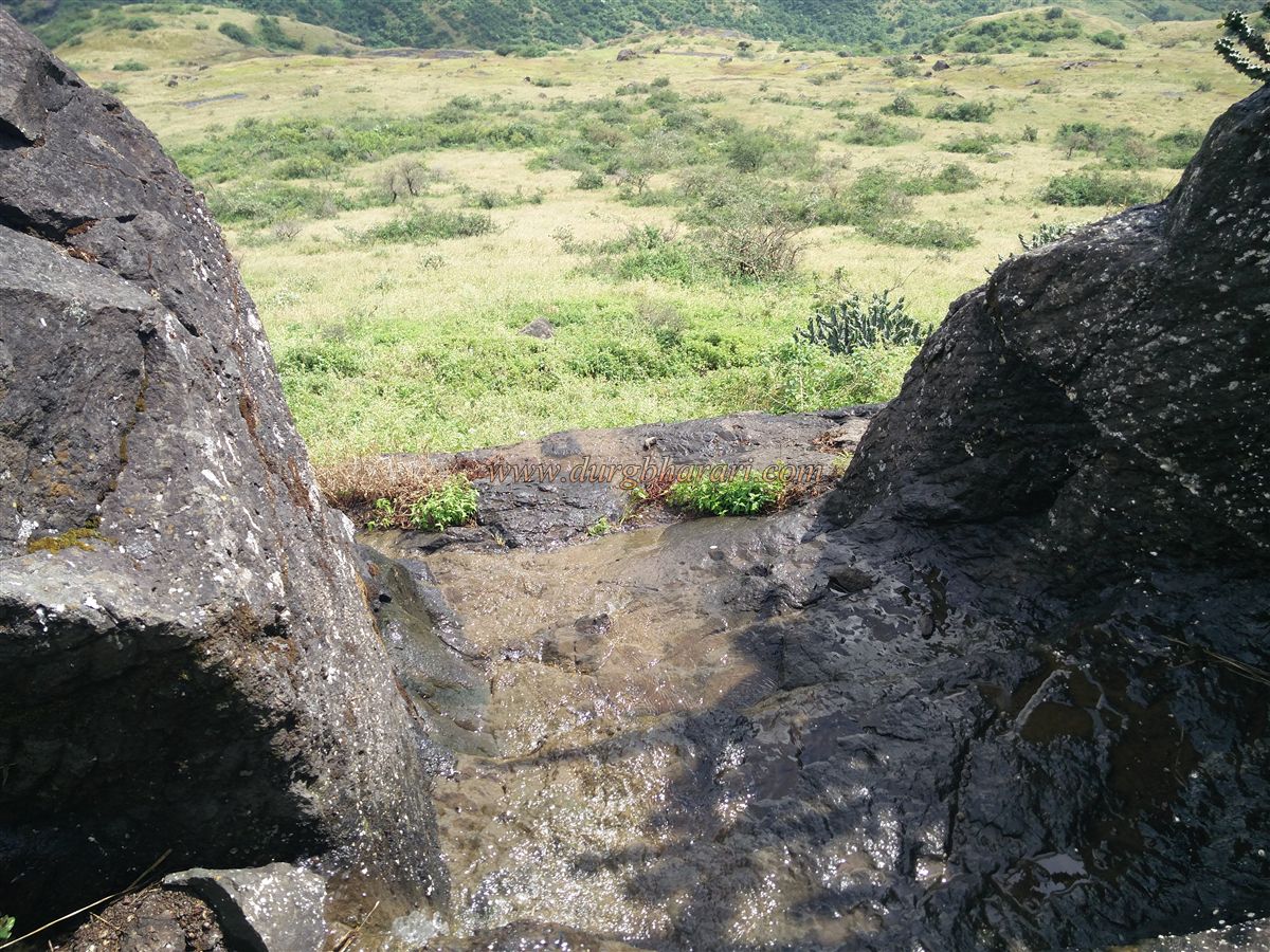
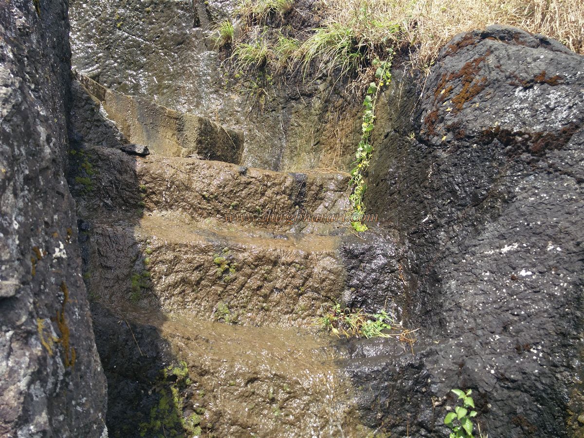
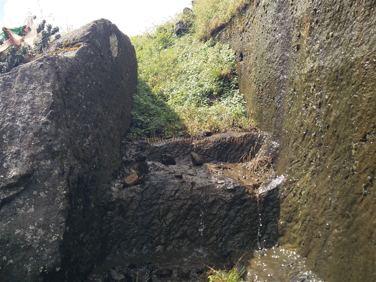
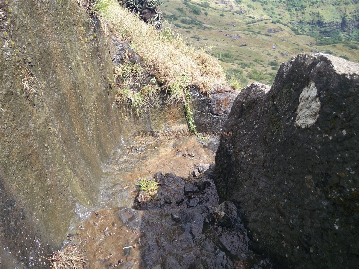
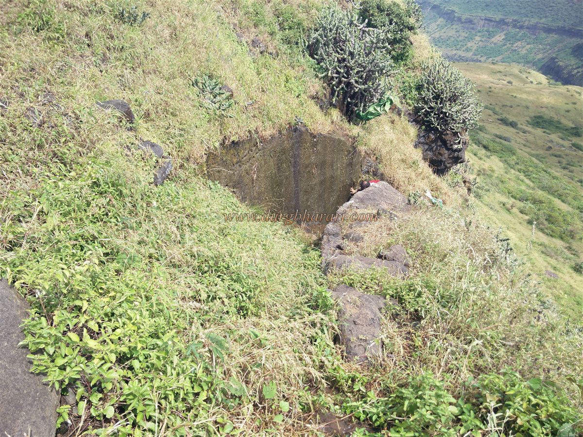
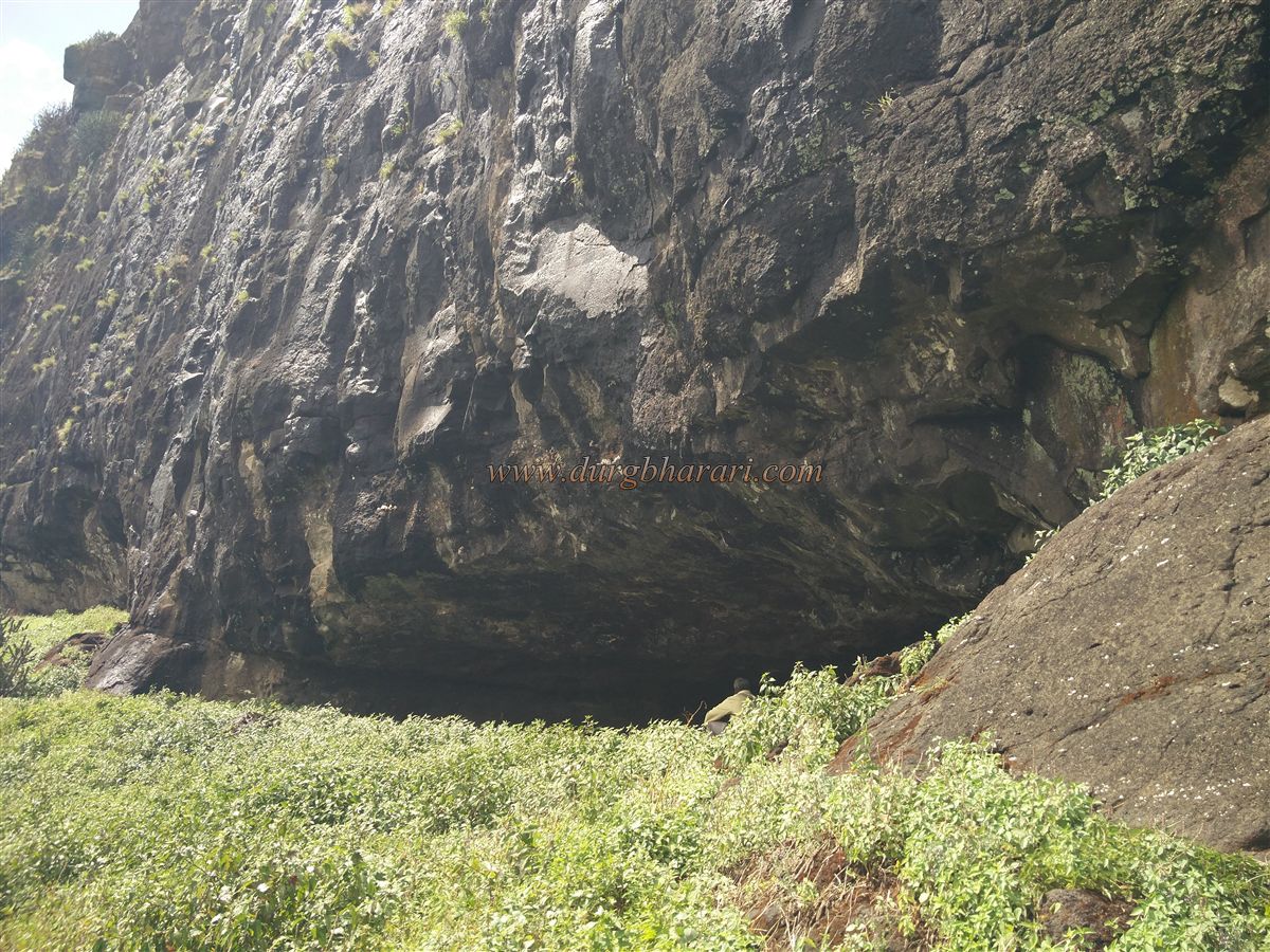
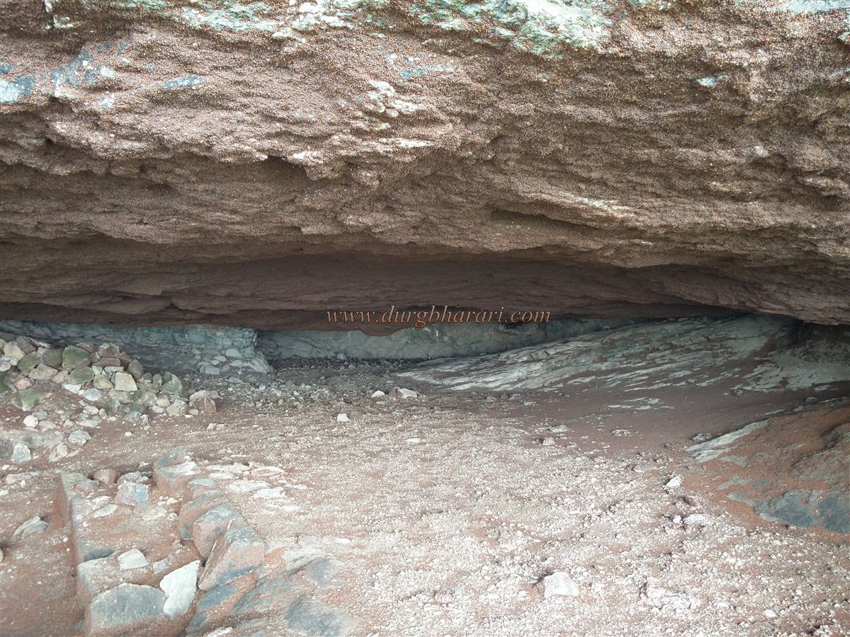
As one continues to climb toward the pinnacle, there is a partially buried rock-cut water cistern, and above it, another sculpted cistern with drinking water available till March. Around these cisterns are the foundations of a few structures, suggesting some settlement. The trail ahead is slippery, leading to a rock face beneath the pinnacle’s ridge. There are rock-cut steps and a partially carved trail, suggesting that a gate might have existed here in earlier times, though no remains are visible now.Climbing this rock-hewn path brings you to the ridge (machi) below the pinnacle. The ridge spans around 12 acres from south to north, and the summit is 3,950 feet above sea level. As there are no ruins here, head towards the spur on the right side and begin the final climb to the pinnacle cave.
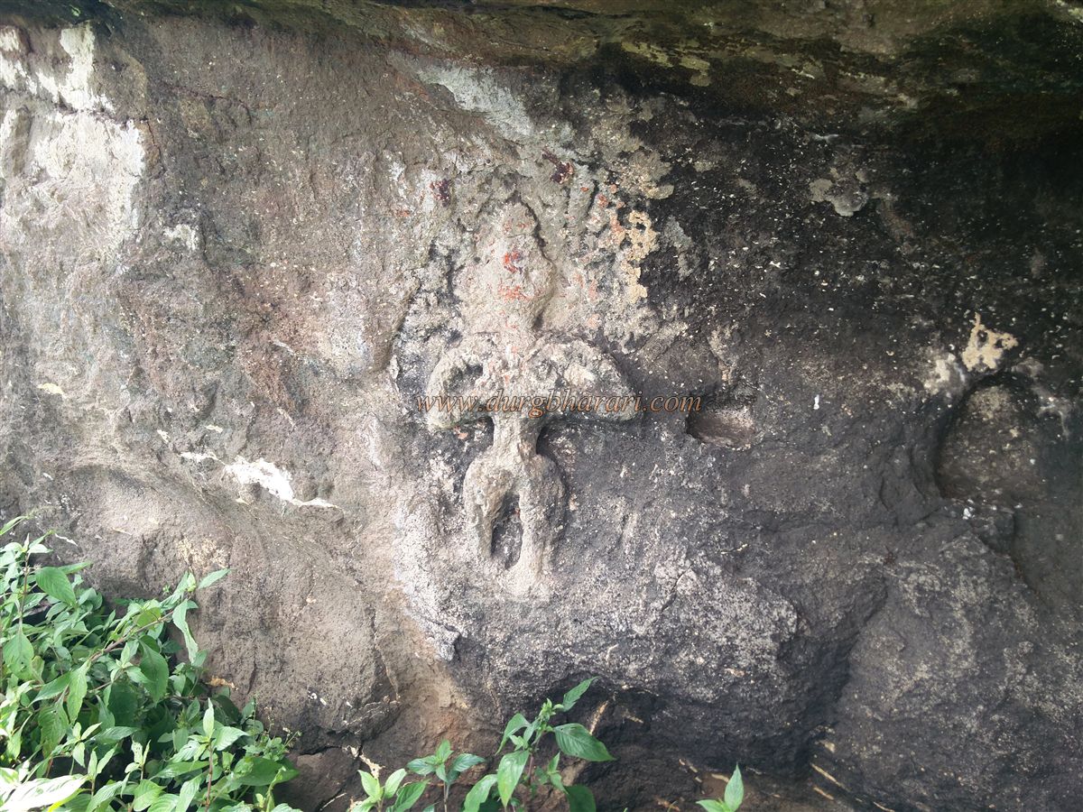
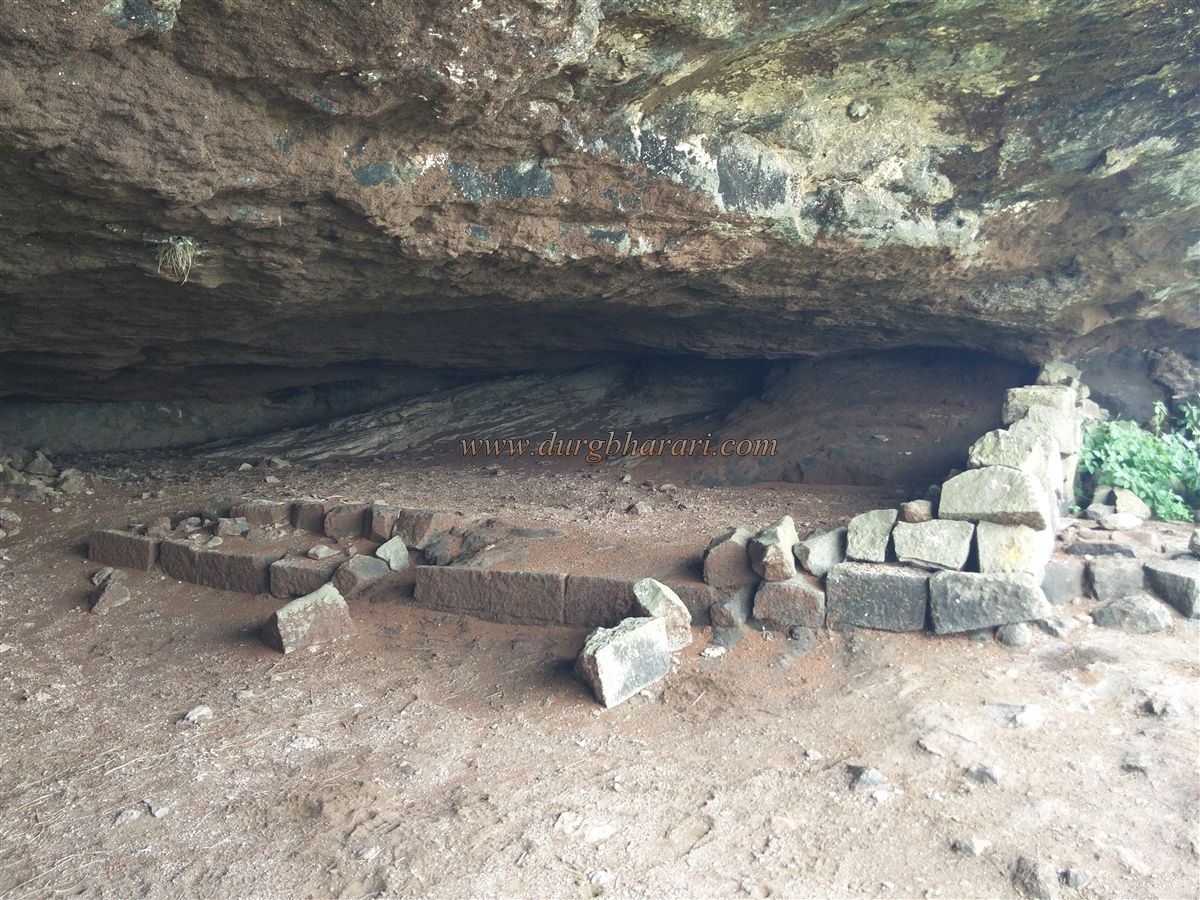
In about 10 minutes, you reach a spacious natural cave roughly 30 x 30 feet in size. Inside and at the entrance of this cave, masonry work using dressed stones is seen. On the left rock wall, there is a sculpture carved into the stone. The cave can accommodate 50-60 people, but there is no water source. Although climbing to the pinnacle’s top is not possible, one can circle around it from the cave. Along this path, there is a shivling (symbol of Lord Shiva) placed on a rock.
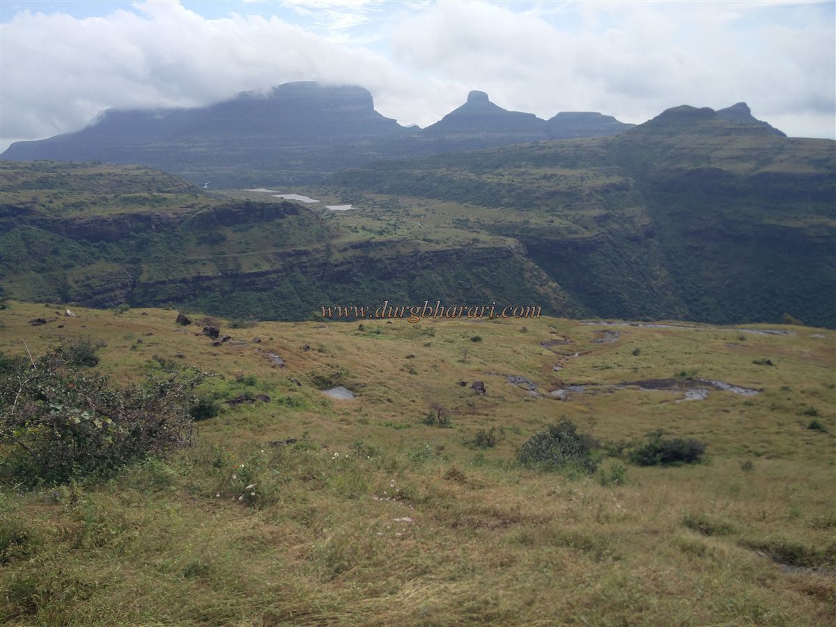
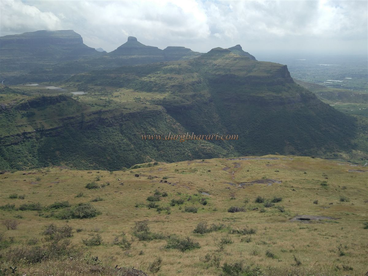
From Koldher Fort, one can see Kanchan-Manchan, Vikhara, and Dhodap mountain ranges, as well as the regions of Bhaudbari, Kanchanbari, and the stretch up to Deola-Satana. It takes around two hours to climb from the pass, explore the fort, and return.
Considering the fort's location and limited remains, Koldher Fort likely served only as a watchtower and might have been left incomplete during its construction. Historically, Chandwad was an important mountain pass for travellers journeying from north to south. To keep watch over this crucial route, Chandwad Fort was built, supported by the satellite forts of Rajdher, Indrai, Koldher, and Mesna.
This neglected yet historically significant fort surely deserves a visit at least once.
© Suresh Nimbalkar
GALLERY