KOKANDIVA
TYPE : HILL FORT
DISTRICT : RAIGAD
HEIGHT : 2700 FEET
GRADE : HARD
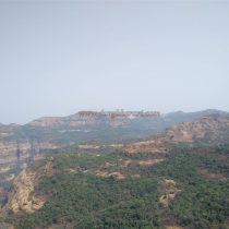
When you look around from Raigad, you can see the high mountain range of Sahyadri. There are several valleys in the Raigad area which were used for communication and trails leading down to the Konkan from Desh. Kawle Ghat is the nearest way to descend from the range of Sahyadri to Raigad. The Kawla-Bawla Pass at the mouth of this Kawle Ghat is a testimony of a battle fought in the history of the Marathas. On March 25, 1689, Godaji Jagtap and Sarakle Naik cut off three hundred Shahabuddin Khan's forces in the same battlefield as a result of which Rajaram Maharaj was able to move safely from Raigad to Jinji. After Chhatrapati Shivaji Maharaj chose Raigad fort as the capital of the Swaraj, to strengthen it in terms of safety, he created a chain of forts on all sides of Raigad and strengthened the old forts. The chain of these forts made it difficult for the enemies of Swaraj to easily attack the capital.
...
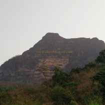
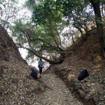
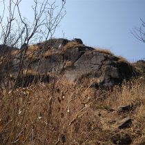
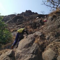
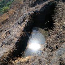
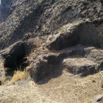
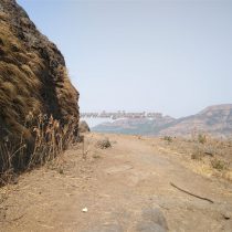
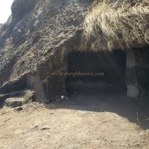
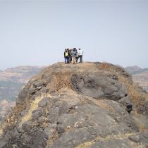
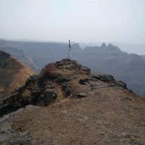
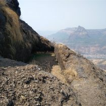
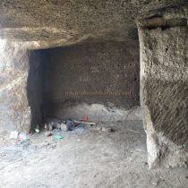
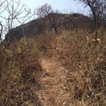
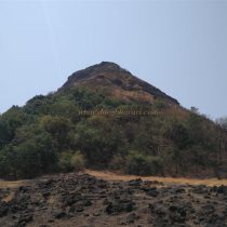
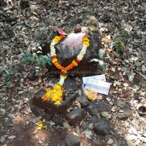
One of these forts, Kokandiwa, stands on the top of Kavalya Ghat as the guardian fort of this Ghat and Raigad on the border of Pune and Raigad districts in the north of Raigad. The height of Kokandiwa is around 2500 feet above sea level. There are two ways to reach Kokandiwa. One used to reach Sandoshi village via Mahad in Konkan. After seeing the desolate and ruined Shiva temple there, one would climb the rocky hill of Kavalya Ghat and go up to the pass and from there climb the plateau and enter the Kokandiwa fort. On the other side, there is a village called Ghol about 30 km from Panshet near Pune. From this village we travel to Ghol-Garjaiwadi-Kawle Khind-Kokandiwa fort. As the water in Garjaiwadi is not good, carry plenty of water with you. Traces of the existence of Kawle Ghat can still be found here. Here in the pass, a stone idol of god is installed with shendur on it, and in this pass, a stone wall has been placed on both sides to prevent the soil from falling from the upper side. The path to the fort starts from here. There is a winding and steep path leading to the fort through a dense forest of karvi trees. From here it is important to be careful while climbing up to the top. You can go to the fort only by taking the support of the neighboring trees. As there are many trees on the way, the sun does not bother you. On the way to the top of the fort, after half an hour of climbing, there is a sharp cliff on the way. There is a cave on the west side of this cliff. 7-8 people can easily stay in this cave. There are 4 water cisterns near the cave. The water in one of these cisterns is clean and drinkable. These tanks are open and a hole is made in the stone just enough to reach the side of the rock to draw water from it. Out of the remaining 3 cisterns, one of it is connected and the way to reach it is quite difficult. Next to the cave, there is another dry tank next to the path. From here, after climbing a 10 feet steep slope, there is a slight slippery path. After crossing this road, we enter the top of the fort. Saffron flag can be seen fluttering in front. From the top, there is a beautiful view of Bhavani Kada, Takmak Tok, Nagarkhana on Fort Raigad to the south, Torna Fort to the east, Lingana to the southeast and Kavalya Ghat to the west. Kokandiwa must be the only fort in Pune district that shows Raigad and its remains clearly from afar. The main use of Kokandiwa was as a fort in surrounding of Raigad and for strategic observation post in the area. Nowhere in history is there a reference to Kokandiwa as a fort. If you plan properly, you can see the fort and go back to Mumbai or Pune in one day.
© Suresh Nimbalkar

