KHOBRAGAD
TYPE : HILL FORT
DISTRICT : GADCHIROLI
HEIGHT : 1712 FEET
GRADE : HARD
Gadchiroli district is the heart of Gondwana. Many forts in this region still bear the marks of the Gondwana Empire and tell the legacy of the Gond kings. Many forts that have no mention or reference in any official records can still be found in Gondwana, which is today’s Chandrapur, Gondia, and Gadchiroli districts. Situated in the remote areas of Maharashtra, these forts are still in fairly good condition. There is a significant difference between the forts in this tribal region and those in the rest of Maharashtra. While studying hill forts like Kachargad, Pratapgad, Tipagad, Rajgad, and Khobragad located in the dense forests of Gondia-Gadchiroli, this difference becomes evident. One cannot clearly decide whether these forts in dense forests atop hilltops should be called hill forts or forest forts. However, apart from stone fortifications, these forts are also protected by a natural cover of forests.
...
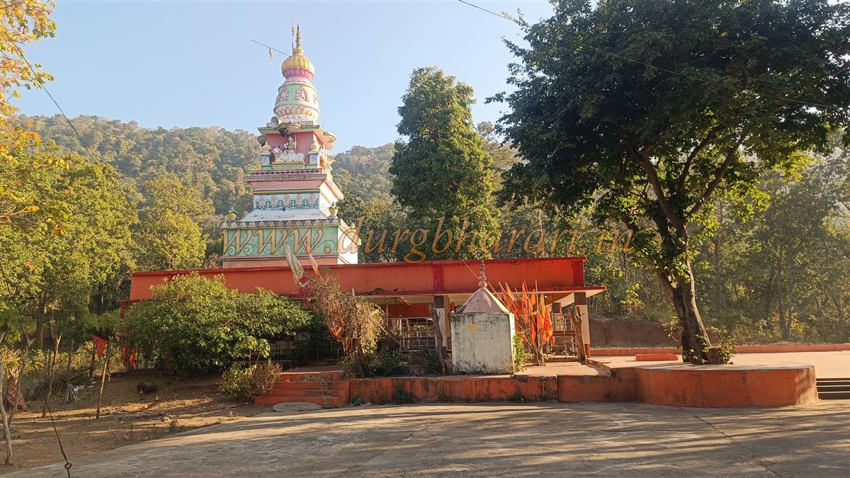
In Gadchiroli and Gondia, many hills or villages are known as gad (fort) or mendha (hilltop settlement). It seems that in ancient times, when the tribal community settled on the hilltops, they made temporary stone fortifications using the natural topography for protection, and thus these places came to be proudly called gad or mendha. Among them is the hill known as Khobramendha or Khobragad, located in the dense forests of Kurkheda taluka in Gadchiroli district. At the base of this hill lies a small hamlet named after it, situated on the banks of the Khobragadi River. At the foot of the hill, there is a Hanuman temple, famous within the surrounding five villages as a ‘Jagrut’ (active and revered) Hanuman shrine, attracting many visitors. Because of the temple, a paved tar road leads right up to the foot of the hill. Public transport is scarce in this area, so it is best to use private vehicles while visiting.
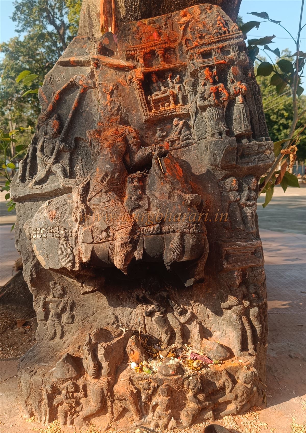
The base of Khobragad fort is 75 km from Gadchiroli city and 35 km from Kurkheda taluka headquarters. The village of Khobramendha is about 2 km from the fort’s base. Although accommodation is available at the Hanuman temple at the base, it is not very secure, and there are no stay options in the village. It is advisable to stay at Kurkheda, which has 2–3 small lodges. While traveling in this area, it’s better to avoid staying overnight in unknown places. In the premises of the Hanuman temple, you can see an ancient victory pillar with beautiful carvings. Behind the temple, there are two hills; Khobragad fort is on the hill to the right, but the only way to reach it is through the gorge between the two hills.
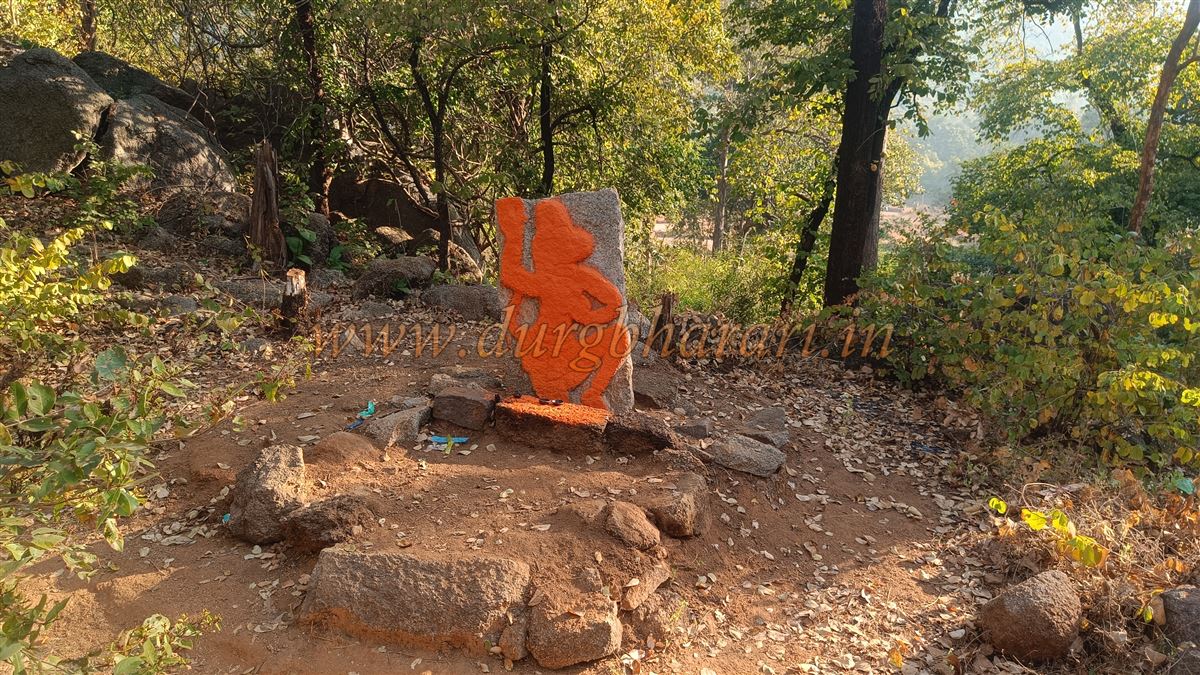
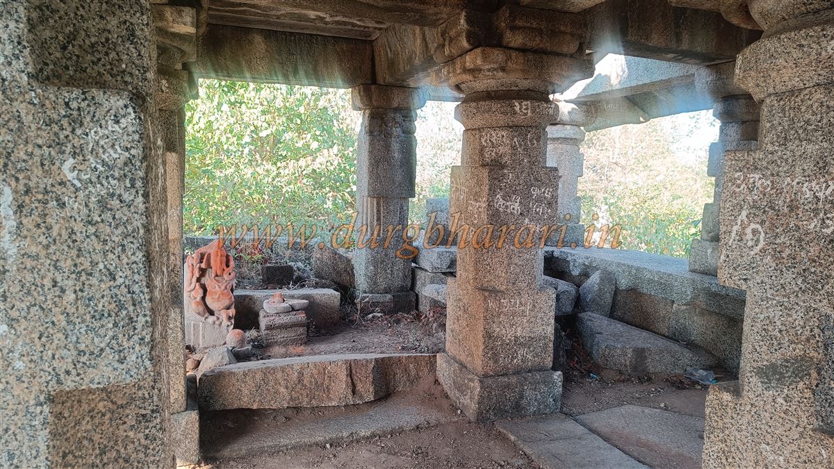
Before climbing to the fort, one should visit other structures at the base. A short distance from the Hanuman temple stands an ancient Shiva temple built from dressed stone, hidden in the dense forest. On the way to this temple, there is a carving of Lord Maruti in a rock face and an image of Bhairav carved on a large stone slab. From the Hanuman temple, it takes just five minutes to reach the Shiva temple. The temple is entirely constructed of dressed stones, with a stone pavilion supported on sixteen carved pillars. The sanctum has collapsed, and some broken idols are kept inside. After visiting the Shiva temple, return to the Hanuman temple and begin your ascent to the fort from behind the temple.
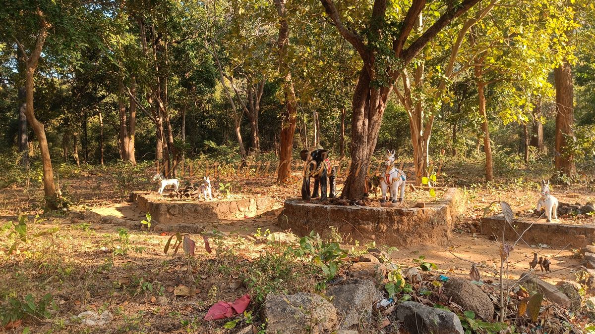
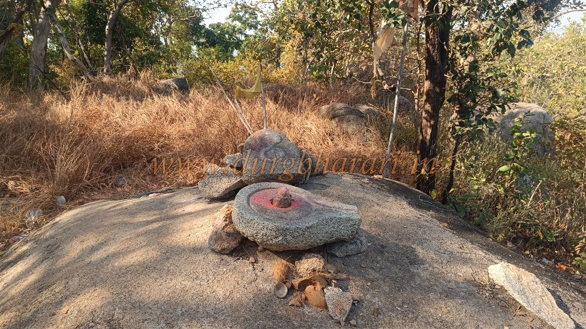
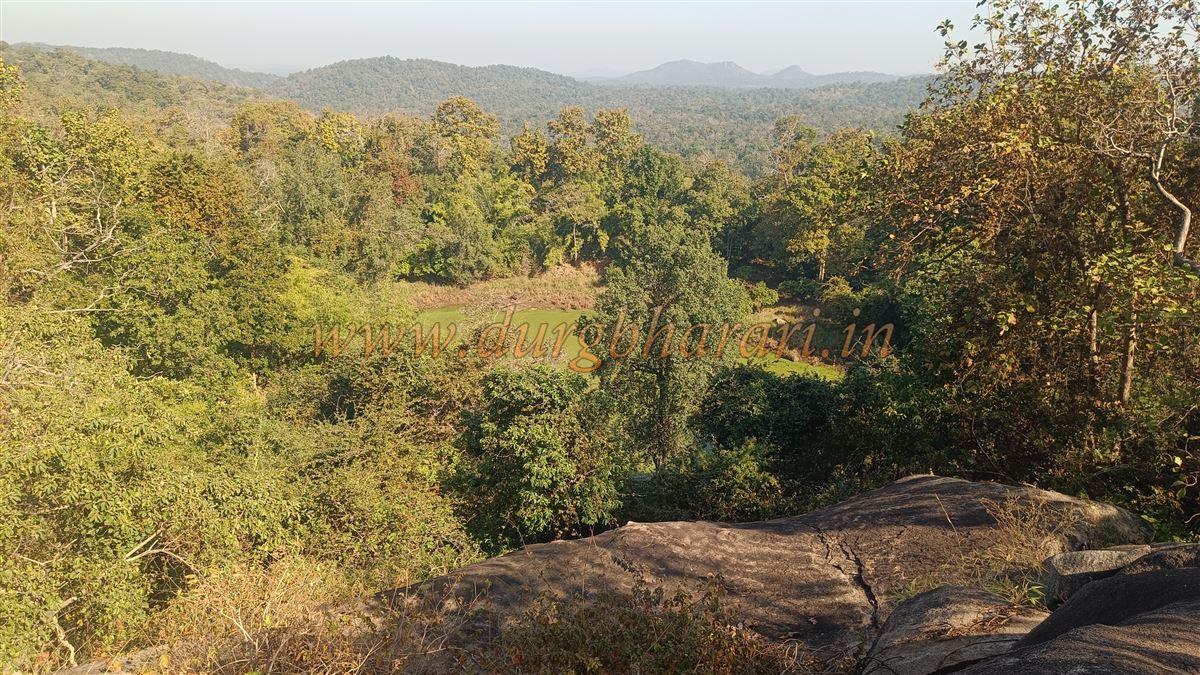
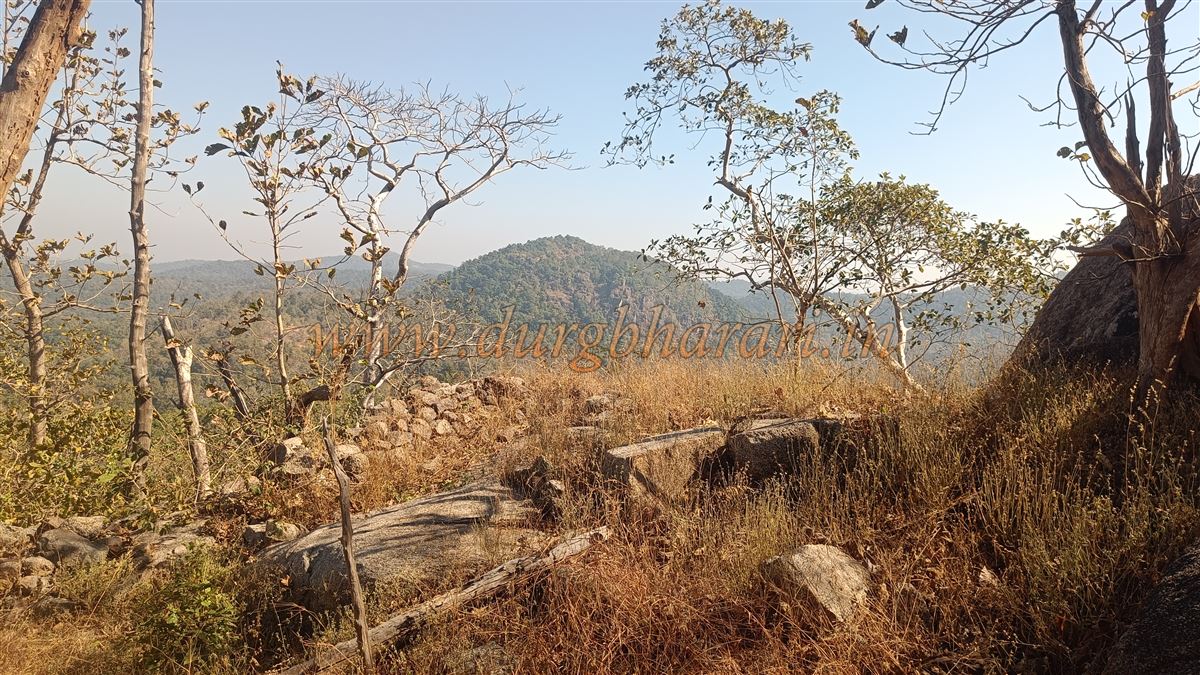
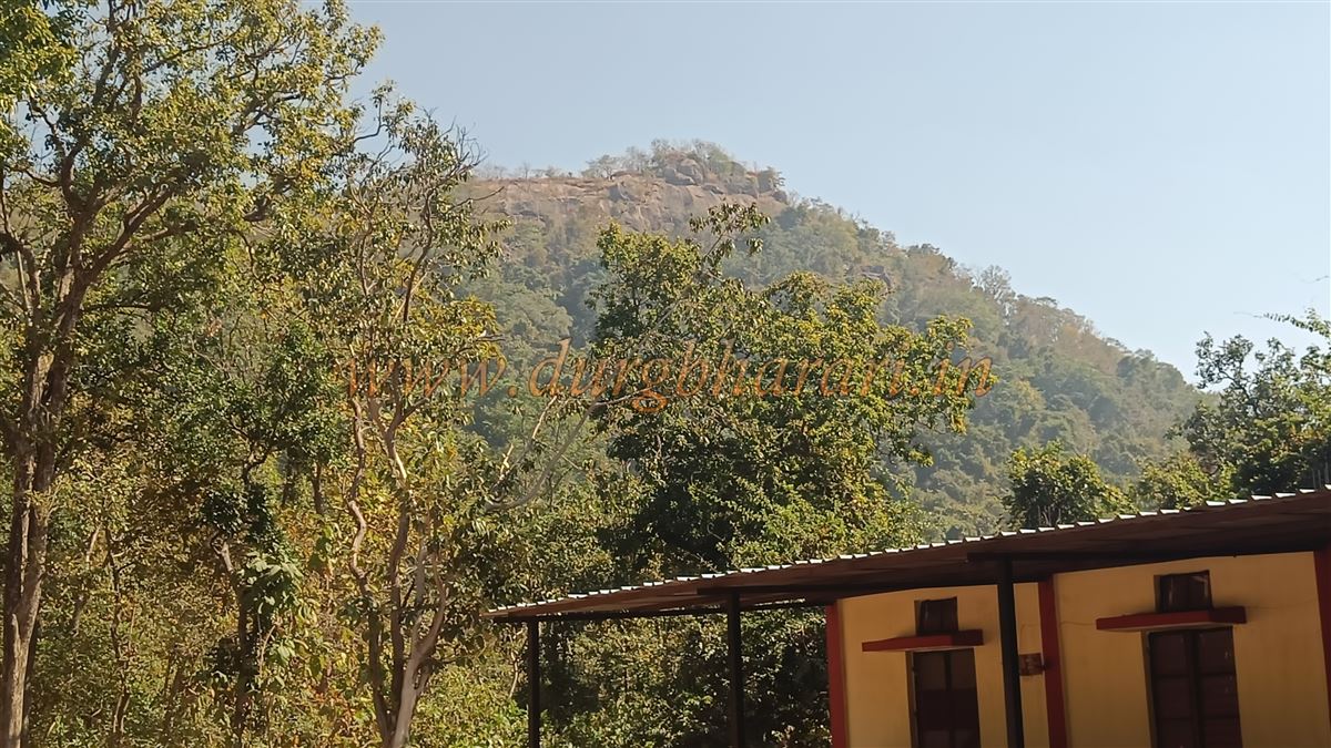
The path to the hilltop is somewhat worn, but the way to the fort is not, so it is better to take along a priest from the temple or someone familiar with the route. The climb is steep through dense forest, taking about half an hour to reach a stone fortification on both sides of the slope. This may have been the location of the first gate of the fort, but there is no trace of it now. A little further up, an indistinct footpath on the right leads to the fort, but instead of taking it directly, it is better to climb straight to the top to view the hilltop. The summit is solid black rock, with a carved serpent figure and a Shiva lingam. On the opposite side lies a large water reservoir, which, according to the priest, holds water year-round. From here, one can see the vast stretch of dense forest extending as far as Chhattisgarh. The top served as an observation point, but there are no fortifications here.
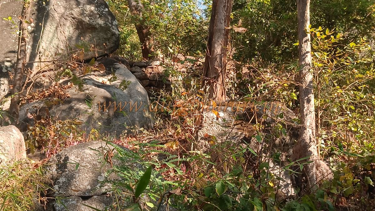
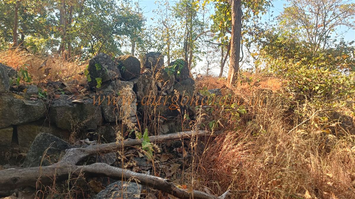
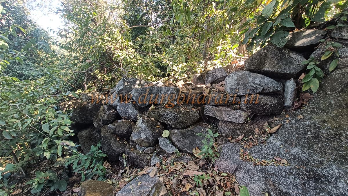
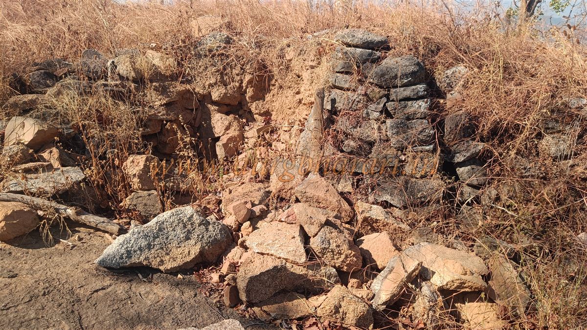
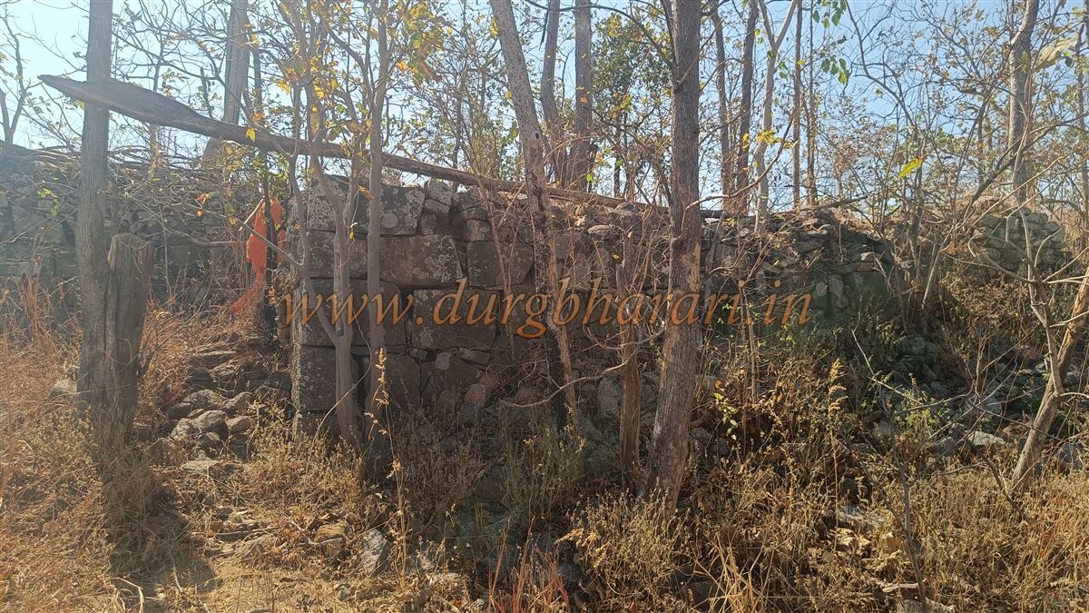
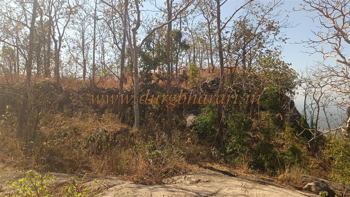
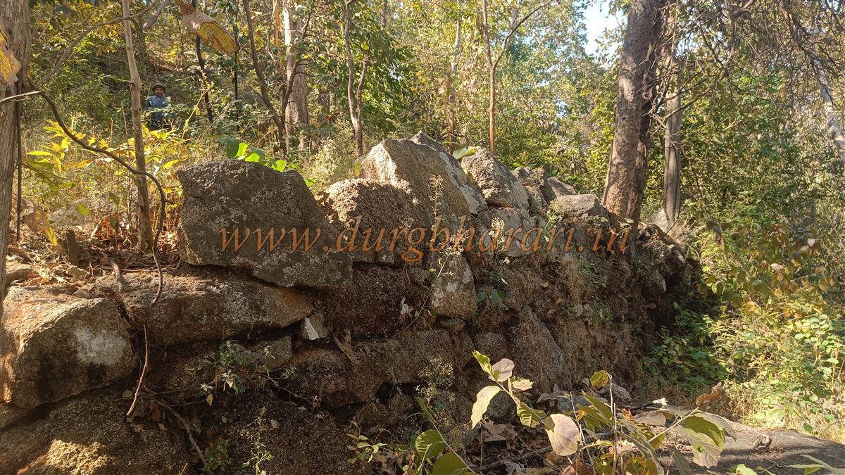
After viewing the summit, start descending along the same route, but after about five minutes, take a left turn and descend further. In five minutes, you reach the gorge between the two hills, from where the stone fortification of the opposite hill comes into view. Several misleading paths lead to the fort, some requiring dangerous climbs over the walls. Along these paths, large stretches of stone fortifications and ruins of structures can be seen. These walls are built entirely of large stones without any binding material. Instead of taking the path to the right, one should climb the hill diagonally to the left. On the way, there is a reservoir that once supplied water to the fort, now silted and dry.
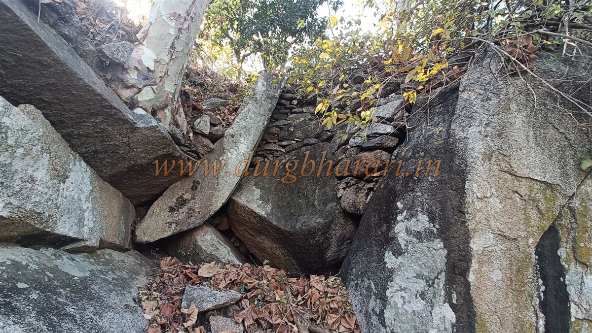
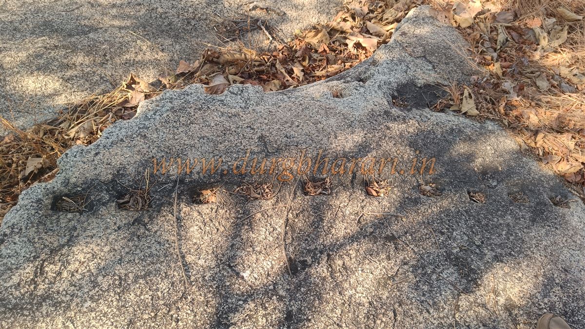
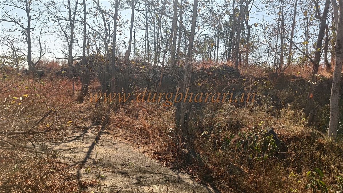
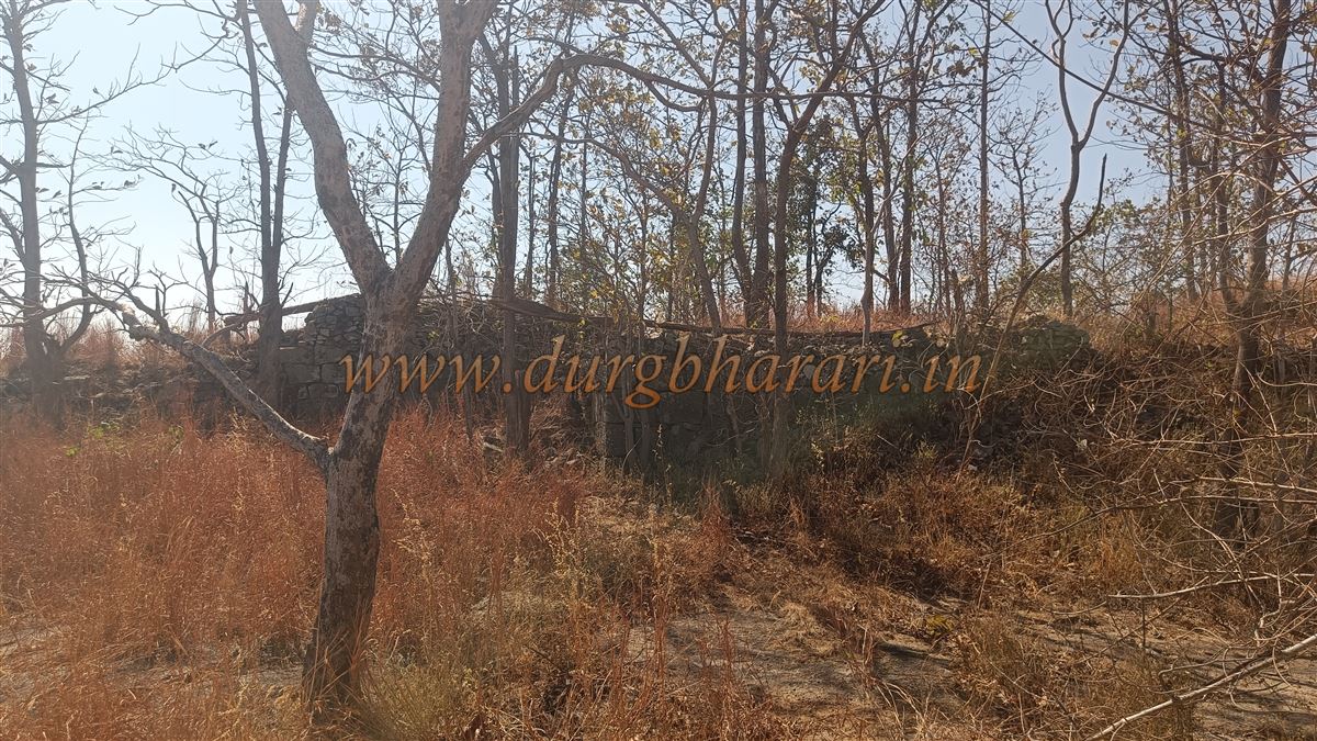
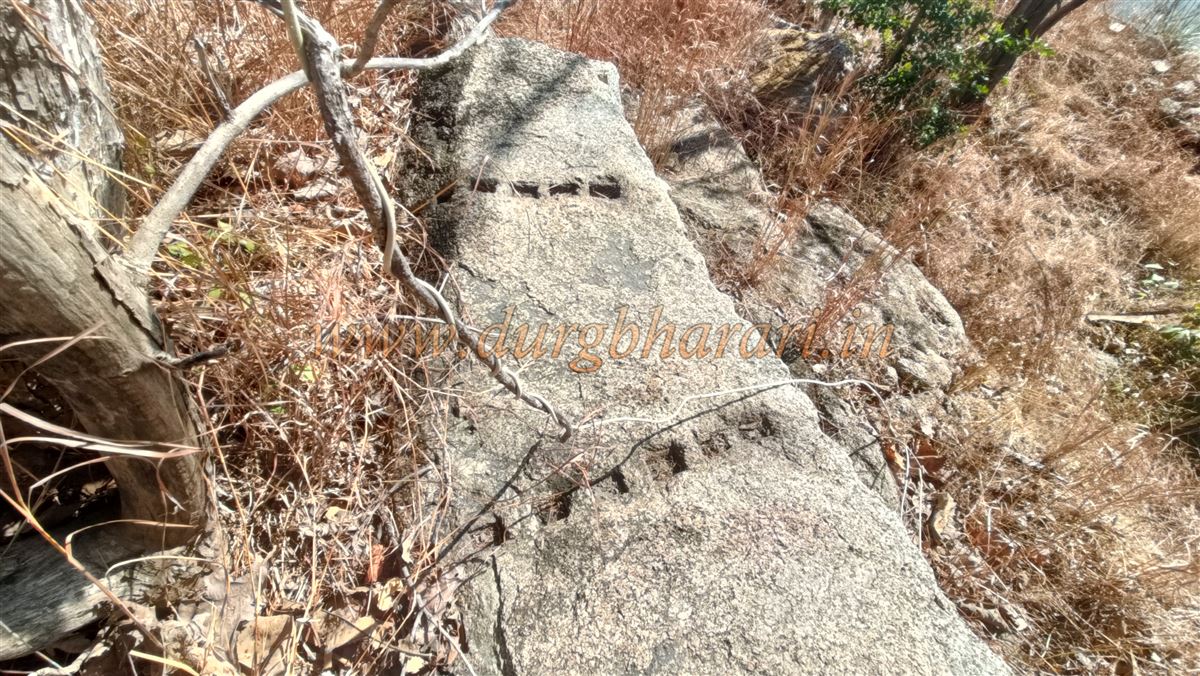
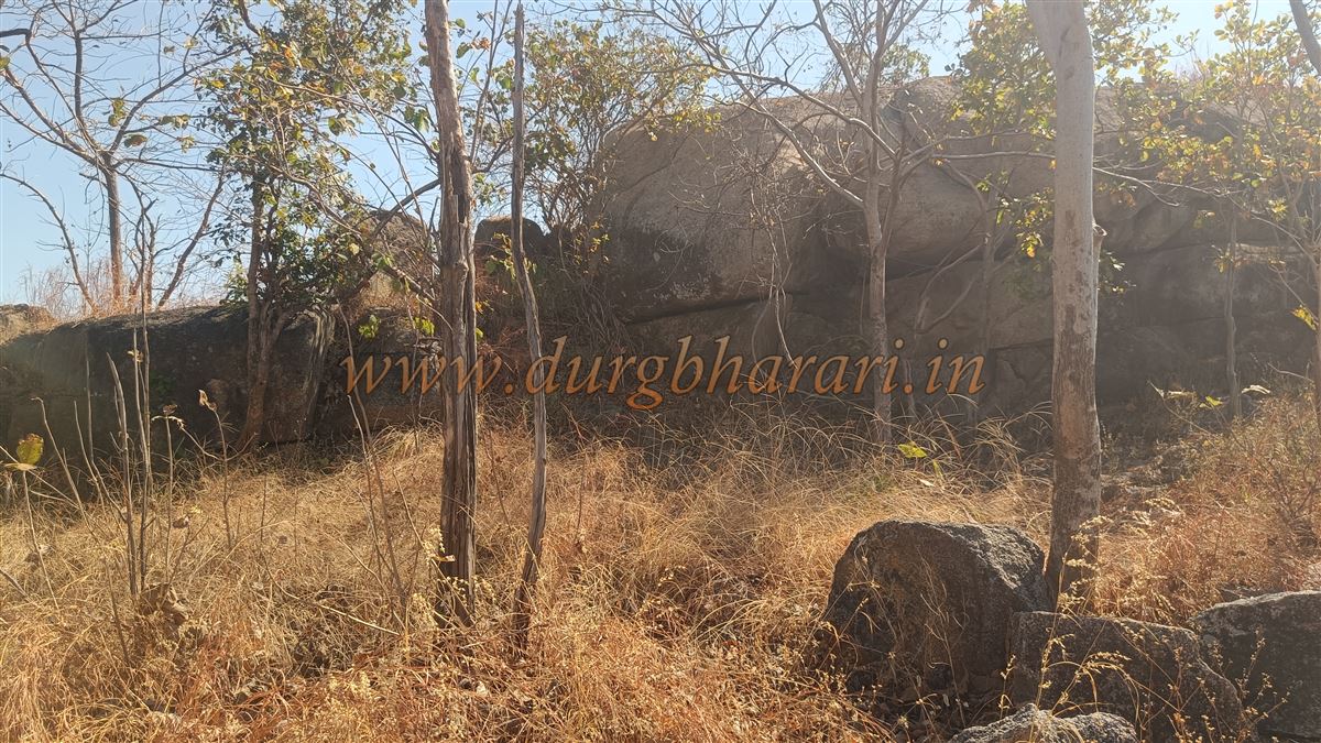
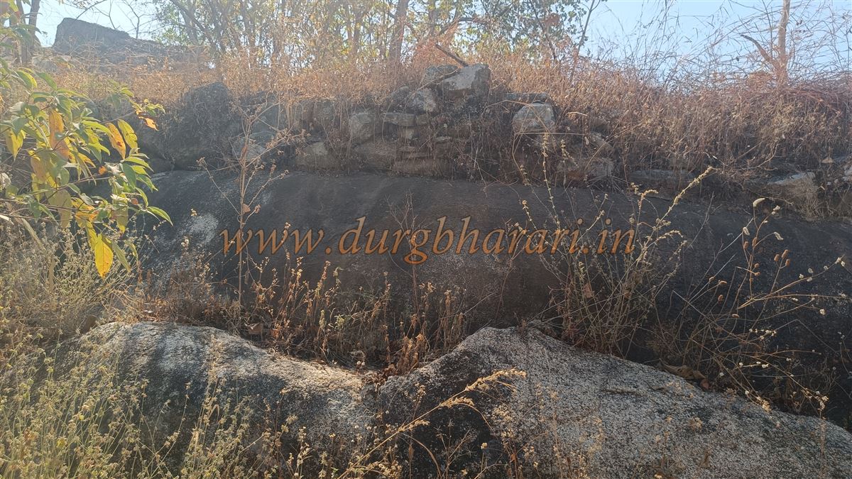
Further up, the fort wall becomes visible, and entry is made through a breach in the ruined wall. This is the second tier of the fort, and there may once have been a second gate here. From here, a steep climb leads to the machi (third tier). The archway and walls here have collapsed, but the gate still exists. This area contains several ruins—walls, bastions, rock-cut hollows, and house foundations. Climbing further from this gate, the citadel comes into view. Its fortifications are still largely intact, built with both dressed and rough stones. The entrance to the citadel remains, though its arch is destroyed. Entering through it, you reach the highest part of the fort. Tall grass grows here, and pushing through it, you come to the second gate of the citadel, half-buried. The walls, gate, and bastions here are still intact. Stones have accumulated inside the gate, so one has to crawl to get out. This part of the fort remains in good condition.
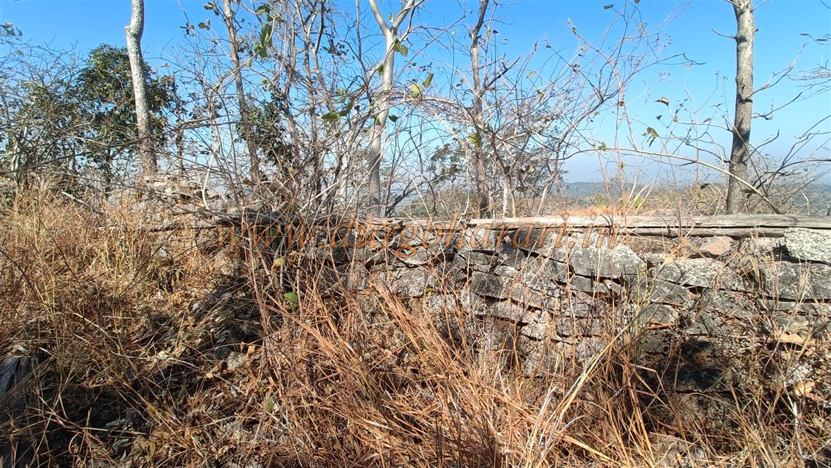
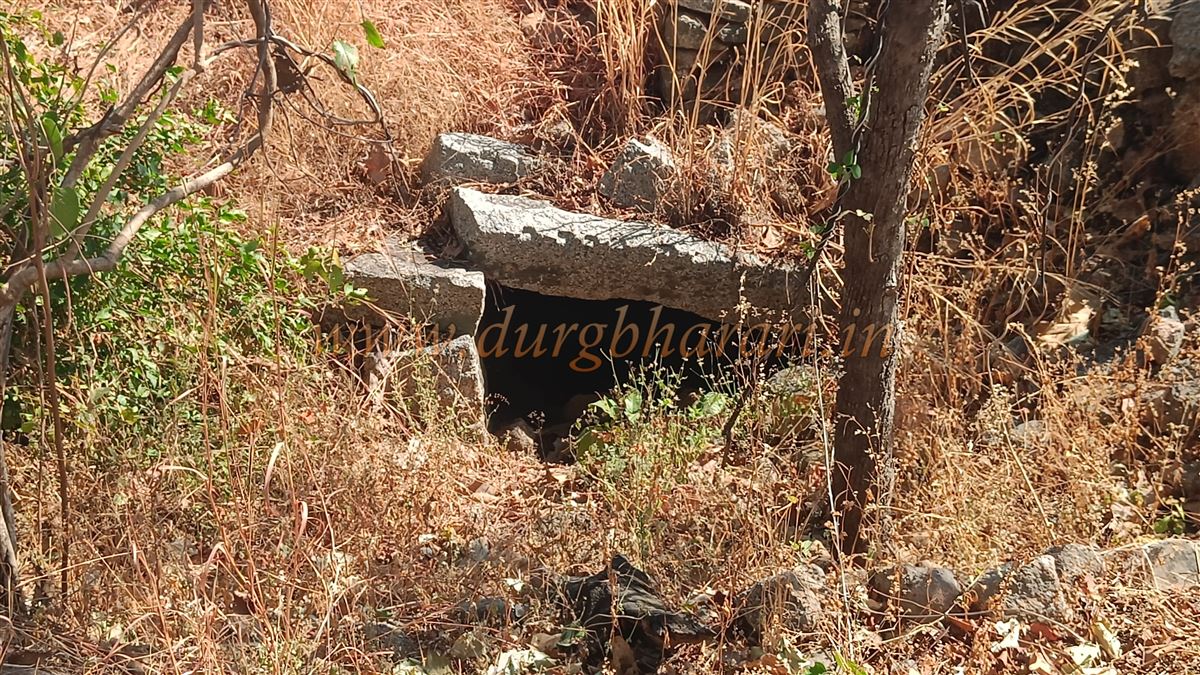
The path descending from here is unused and dangerous, making it inaccessible at present. Our guide mentioned a rock-cut tunnel along this path, but we avoided it for safety reasons. Walking along the walls, you reach the bastion with the flagpole. Inside this bastion is the shrine of the fort’s deity, worshiped in the form of a rice heap. This bastion is the highest point of the fort, at 1,712 feet above sea level. The view from here—of dense forests, the Tipagad mountain ranges, and Vairagad—reveals the fort’s strategic importance. This concludes the tour of Khobragad, and we begin the return journey. It takes about five hours to explore the entire hill and fort. The fort’s walls are divided into four sections. Although there were once two approaches to the fort, only the eastern route exists now, and it is barely worn, so a knowledgeable local guide is essential.
Gadchiroli district has a rich and ancient historical and cultural heritage. Vairagad fort, Tipagad fort, Khobragad fort, the Markandeshwar temple, Lekhamendha, and similar sites bear testimony to this glory. In the name Khobramendha, ‘Khobra’ refers to the Khobra clan of the ancient Nagavanshi tribal Gond people, and ‘Menda’ in the Gondi language means a mountainous settlement of the Khobra Nagavanshi tribe—thus, Khobramendha means the mountain abode of the Khobra clan. Khobragad was once under the rule of Nit Newra Kulsange of the Khobra Nagavansh, who controlled 52 forts and 184 parganas. The Bhonsle ruler of Nagpur, Raghuji Bhonsle, attacked, defeated the ruler, and destroyed the fort. Later, when the Bhonsles neglected this remote region, King Durgshah Sayam of the Gond dynasty established the Shah lineage and asserted control over the area.
(Note – While touring the forts of Vidarbha, we received great help from historian and architectural researcher Shri Ganesh Bansod. The Durgbharari group is deeply grateful to him! )
© Suresh Nimbalkar
GALLERY