KHAREPATAN
TYPE : COASTAL FORT
DISTRICT : SINDHUDURG
HEIGHT : 150 FEET
GRADE : EASY
Many villages in the Konkan are mentioned in history or during Shivaji Maharaj’s period, but no one knows that there is a fort. Kharepatan and Rajapur are two such cities on the Mumbai-Goa highway. Kharepatan plays a major role in history. From 1818 till 1875, Kharepatan was the headquarters of Devgad taluka. The people of Kharepatan themselves do not know that there is a fort in their area. Kharepatan is a historic village on the south bank of Waghotan river on the Mumbai-Goa National Highway, bordering Sindhudurg district and Ratnagiri district. The distance between Mumbai and Kharepatan is 406 km. The distance between Rajapur and Kharepatan is 20 km. Two km from the highway, the remnants of the fort still stand on a small hill on the banks of the river Waghotan.
...
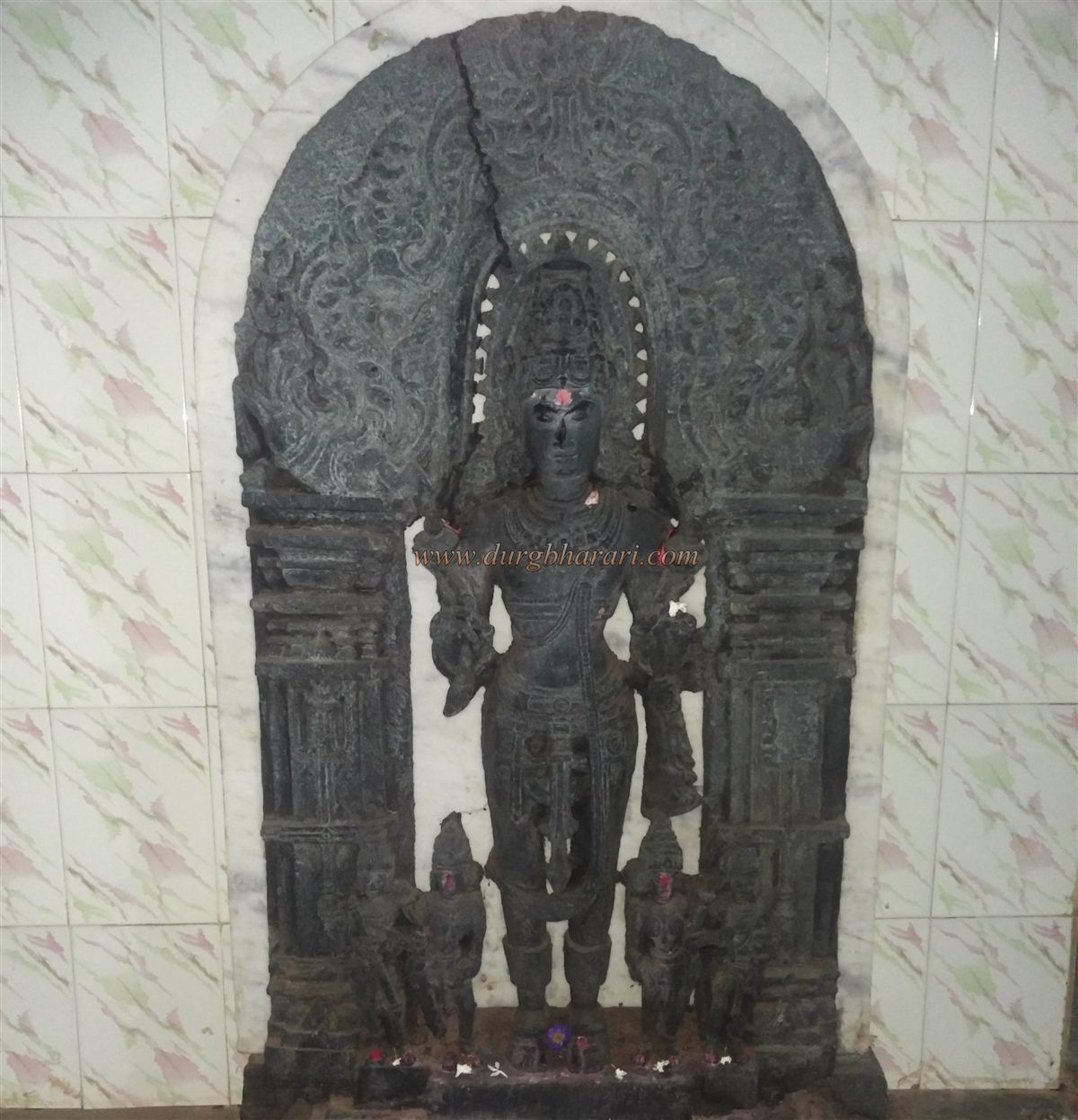
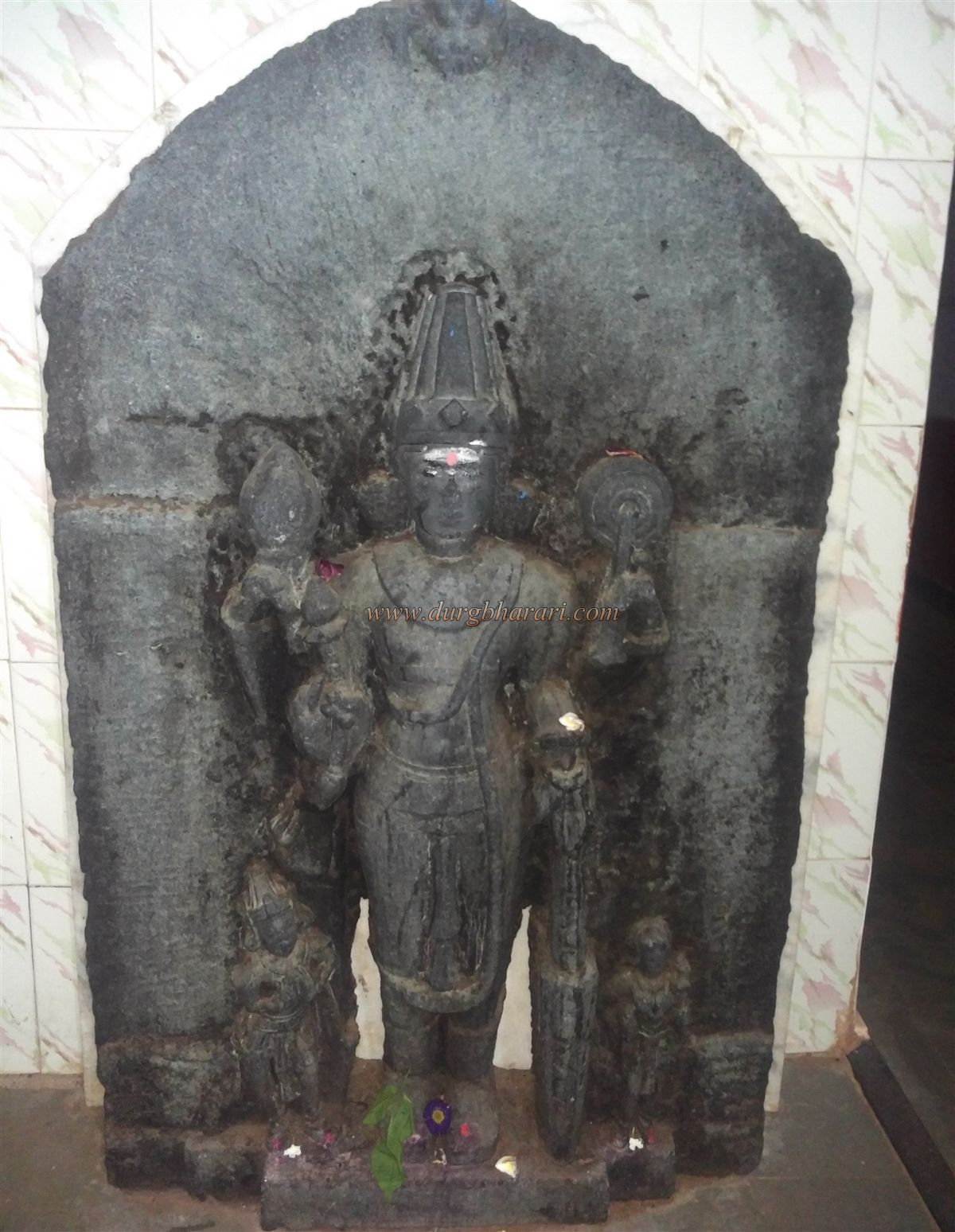
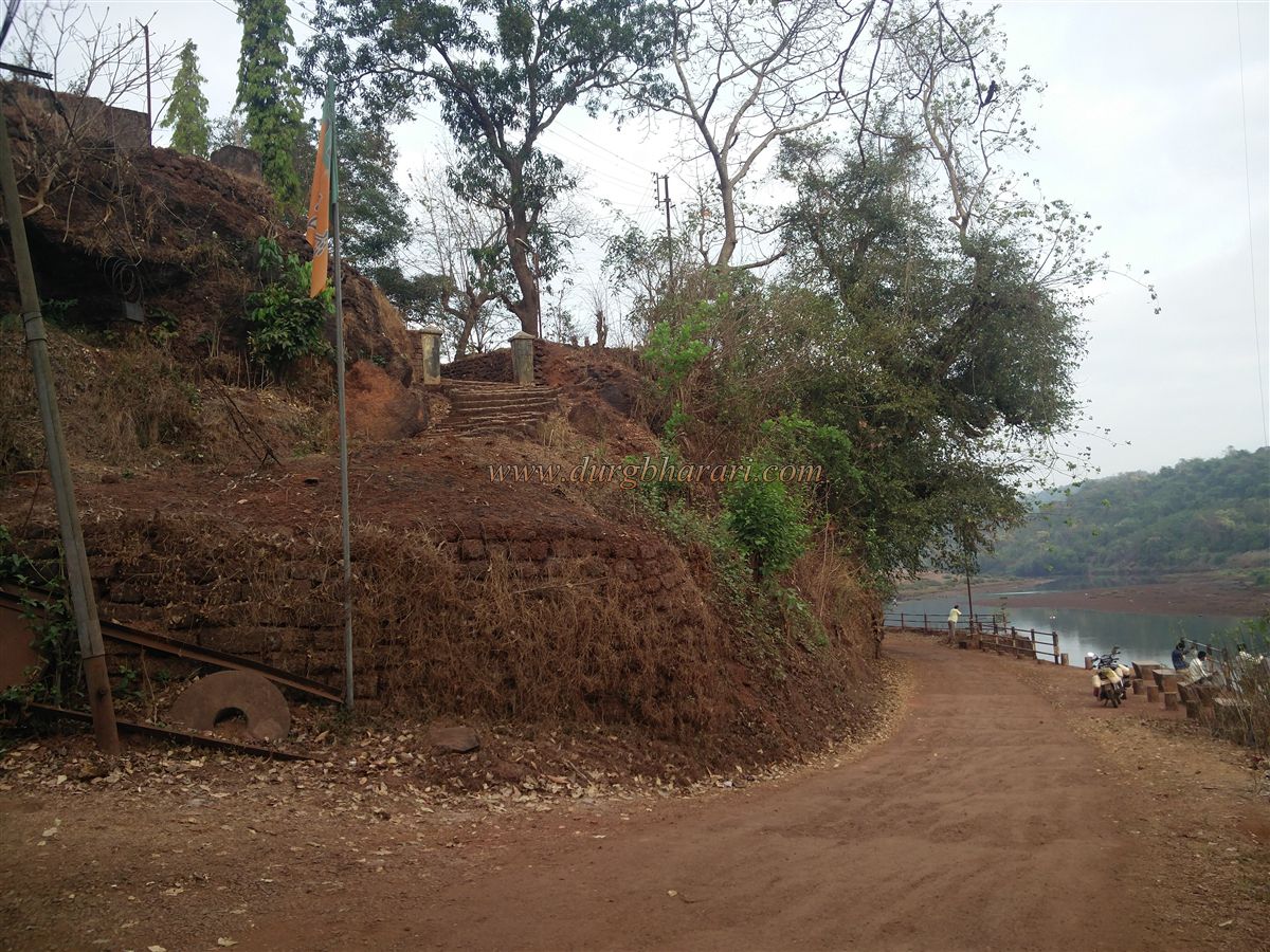
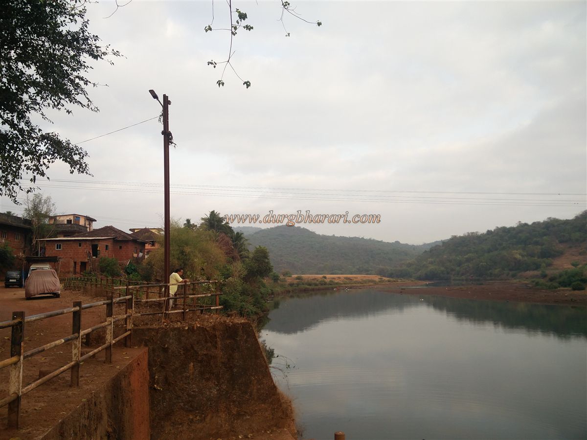
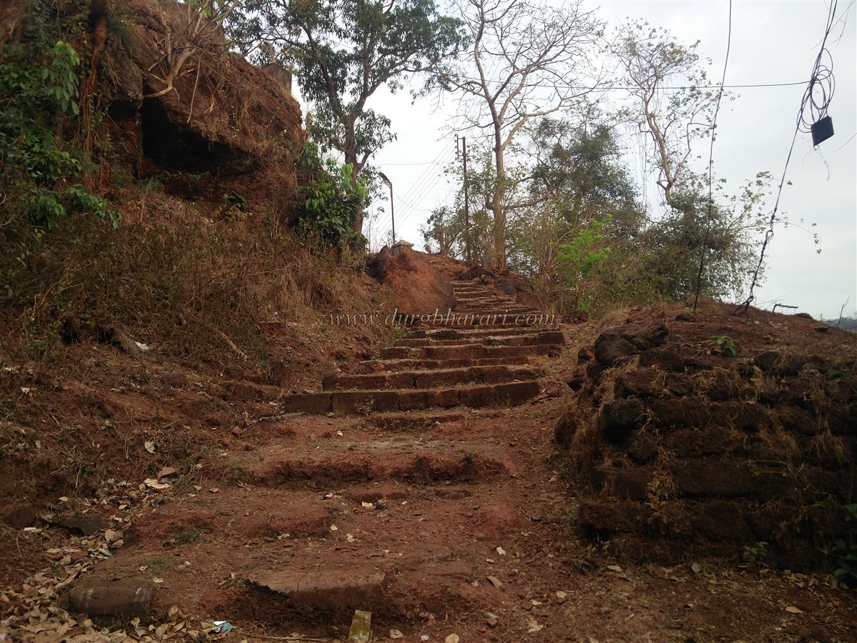
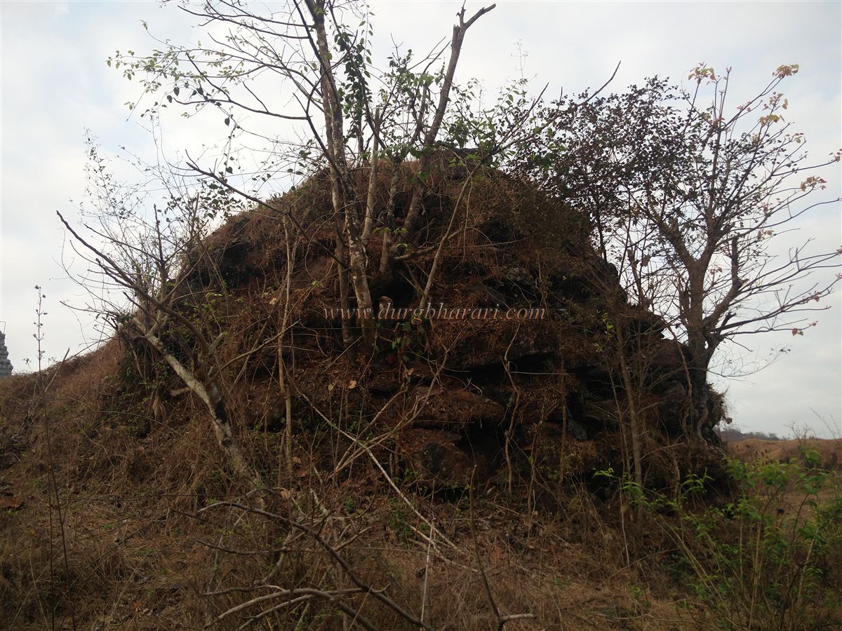
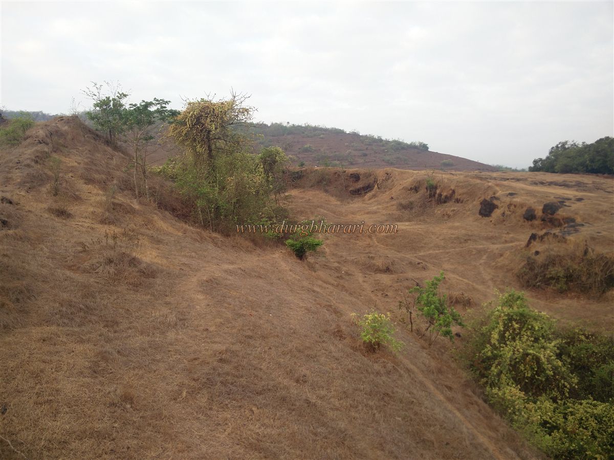
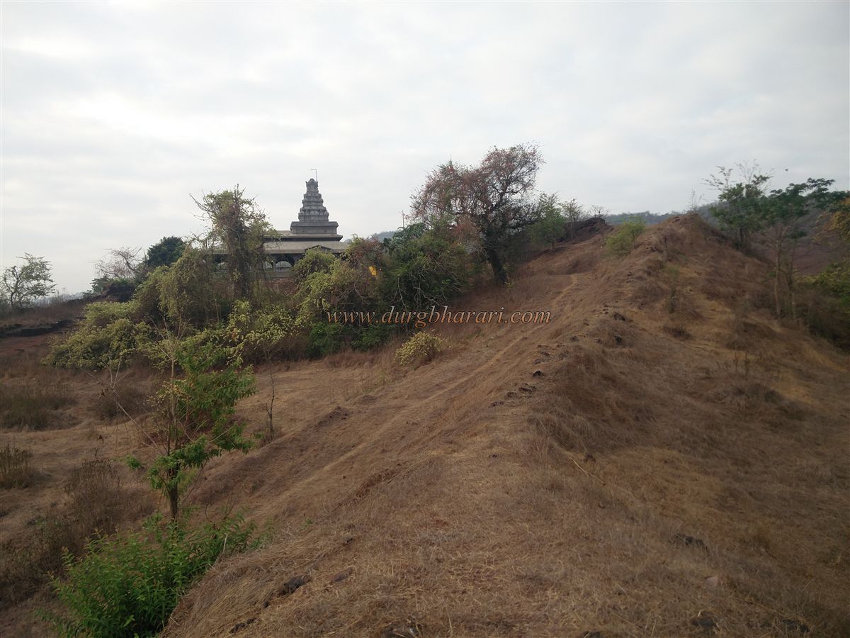
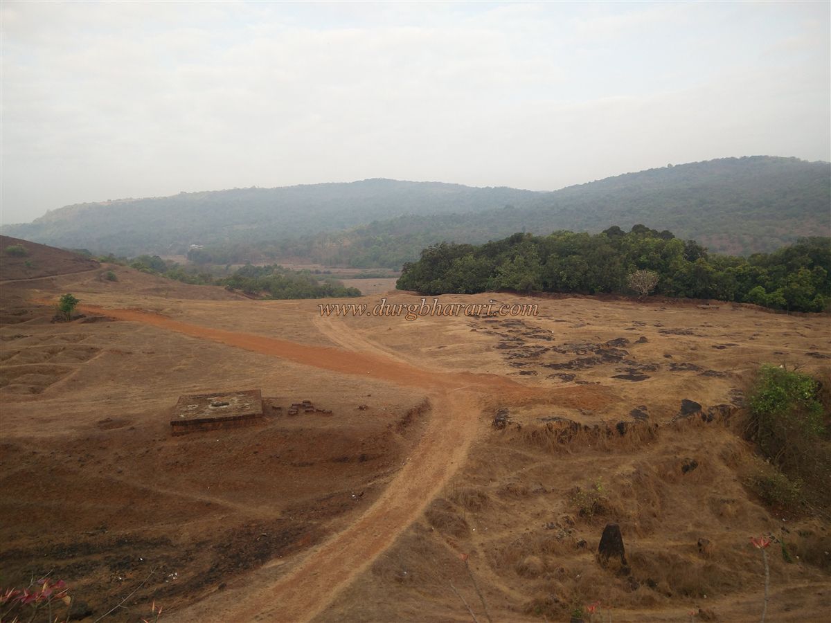
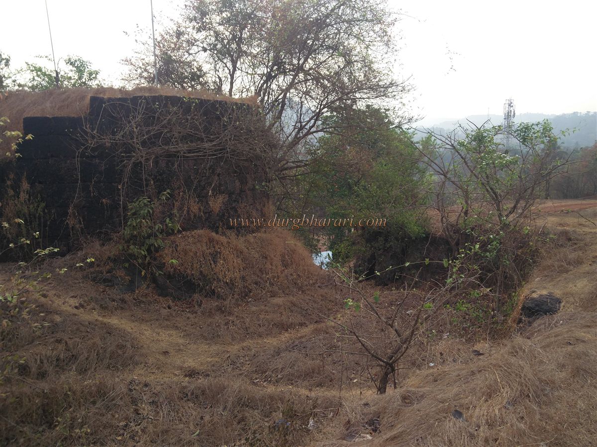
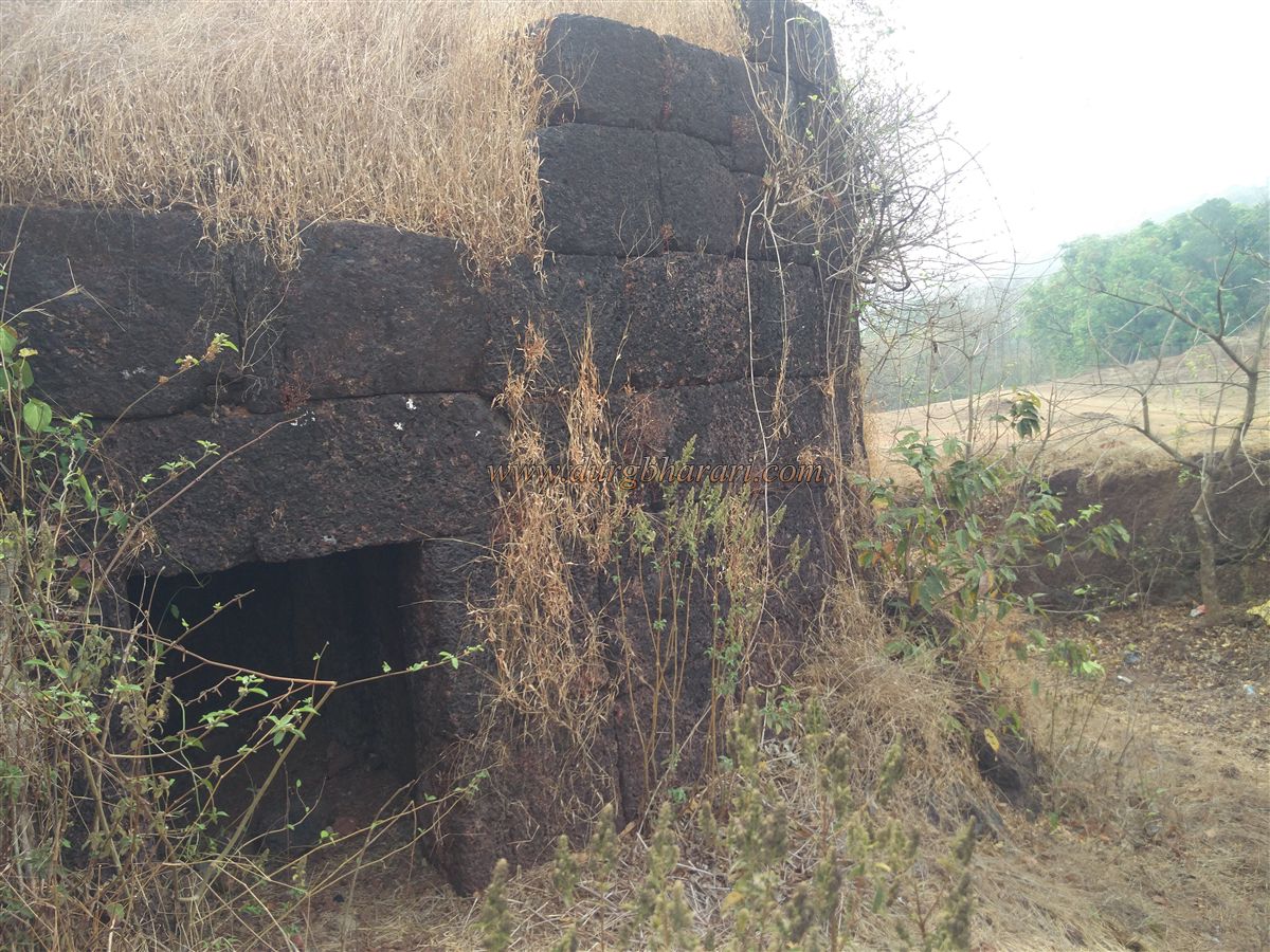
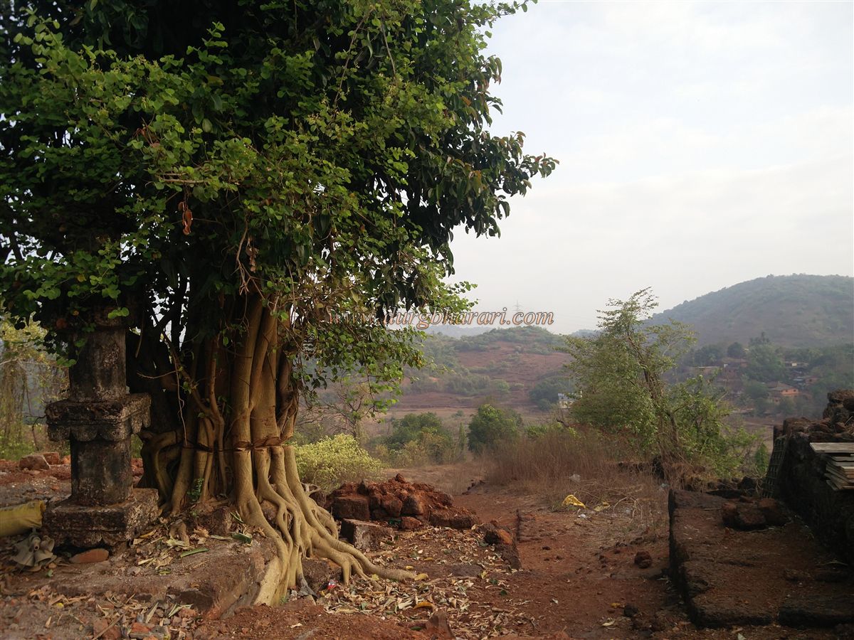
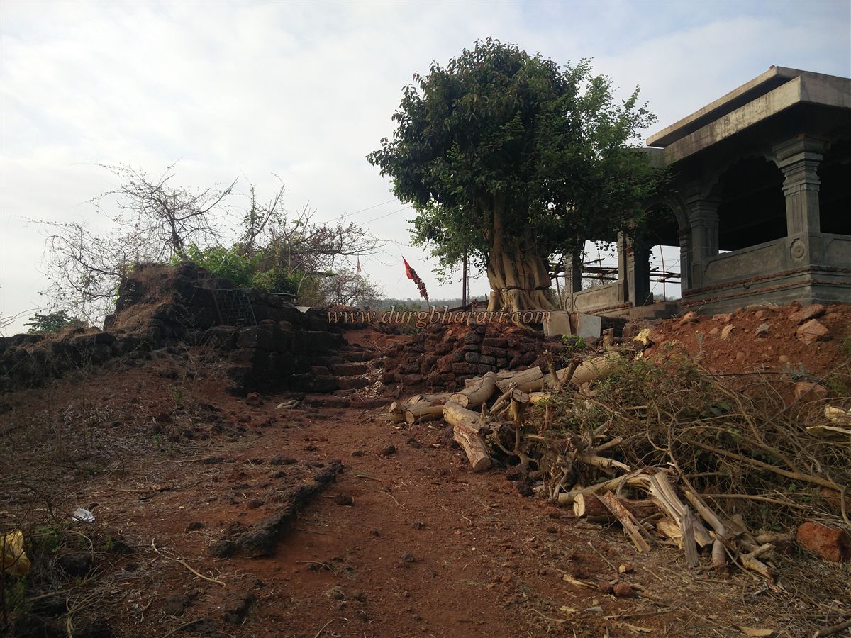
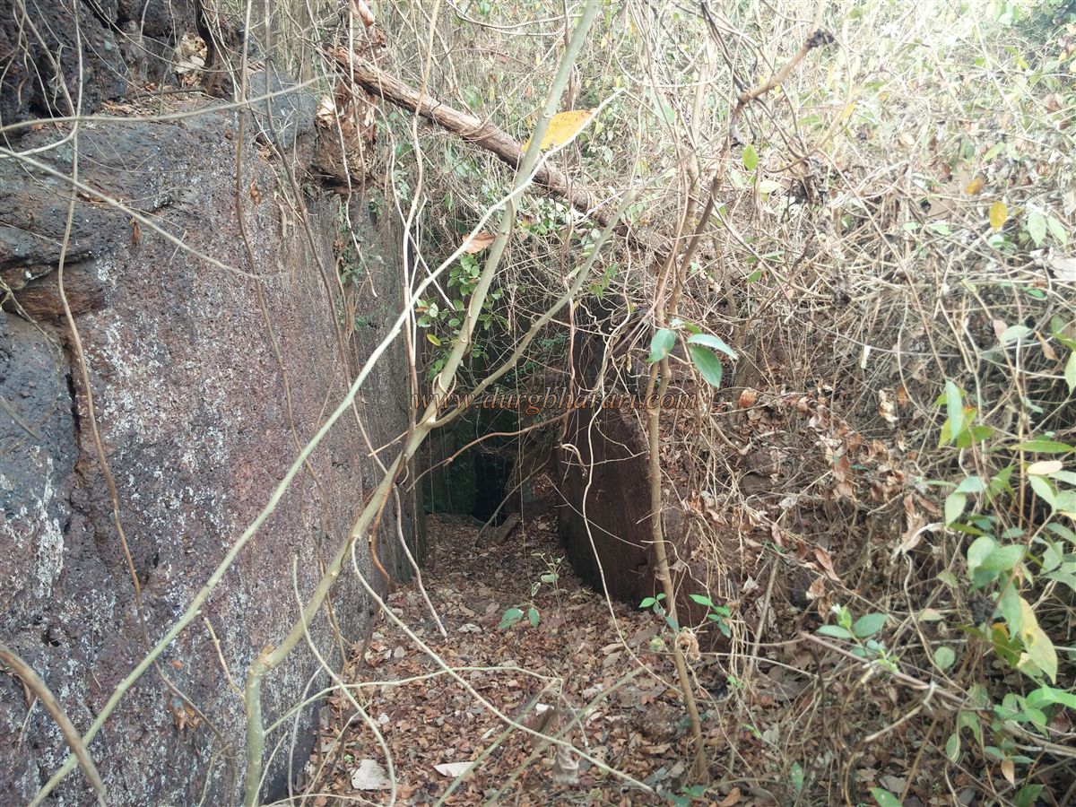
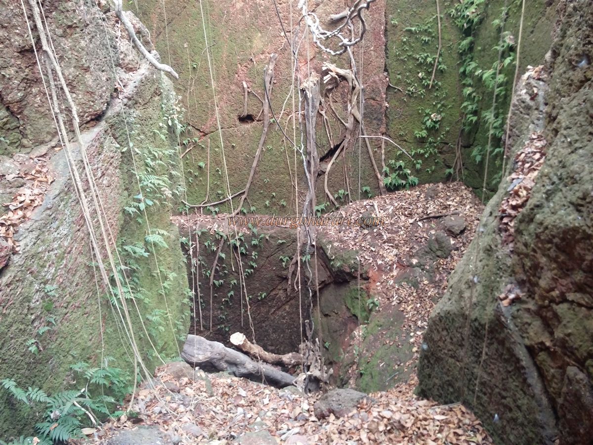
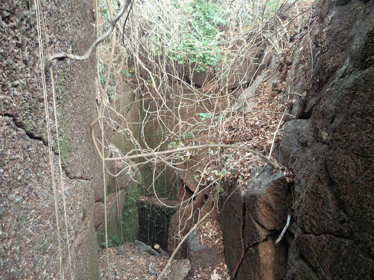
Situated on a small hill, the fort is protected by a creek on the slopes and a moat on the ground. From the Mumbai-Goa highway, take the road straight to Kharepatan village you will first reach an S.T. stand then a market. If it is asked as a fort, many people do not know the fort, therefore it should be asked as a temple of Goddess Durga. Three ways are leading to the fort from the market. As the construction of the Durgamata temple on the fort is underway, a dirt road has been constructed there to transport goods and it goes directly to the upper part of the fort. The second way leads to Kharepatan Primary School in the fort from the lane of shops on the way from the market to the creek and the third way goes up the steps from the river bank at the end of the market. This is the most convenient way to see the entire fort. There is a government rest house on the lower slope of the fort. From here, as you climb the stairs, you can see the limestone wheel under the wall. When you see it, go up the stairs and turn left. On the lower side of the resthouse, you can see a bastion remaining up to some extent. From here we come to the school at the back of the rest house. The road from the village to the school comes here. Remains of the fortifications of the fort can be seen from here. The east-facing gate of the fort has been completely demolished and only the five feet high ramparts remain. The shape of the fort is rectangular and the area of the fort is about two and a half acres. The ramparts of the fort have a total of eight bastions and the ramparts on all four sides are buried in the lumps of soil. Although the ramparts have collapsed in some places, the entire fort can be reached from these lumps of soil. The bastion on the three corners of the fort is somehow standing and the bastion on the corner you entered is on the verge of destruction. The moat on the east and north sides of the fort can be seen while walking around the fort. Outside the moat on the east side, there are two Samadhi on a quadrangle structure, out of which one Samadhi is small and one is large. In the upper part of the fort, there is a newly built temple of Goddess Durga. It is said that the former temple was built by Shivaji Maharaj. The temple has a new idol of the goddess. In the construction of the temple, the original architectural remains have been destroyed and a Deepmal can be seen under the tree in front of the temple. Around the temple, a large number of ruined structures can be seen. The bastion in front of the temple has a small door through which one can descend to the outer moat. This moat is full of bushes and grass. In the center of the fort, there is a huge well 70 to 80 feet deep with steps and this well reminds us of the wells on the fort in Kolhapur province. The well, which is now dry, has a large number of bushes and steps can be taken to descend into the well. After seeing the well, your fort round is complete. From the bastion of the fort, one can see the entire fort, Kharepatan city, and the Waghotan creek. Two hours is enough to walk around the entire fort. Around 1850, the fort's ramparts and bastions were demolished and its stones were used to build a port for people to descend on the banks of the river. There is Kal Bhairav Temple and Kapileshwar Temple in Kharepatan. Among these, the ancient Suryanarayana idol and Vishnumurti in the Kapileshwar temple are worth visiting. In the 8th century, South Konkan was ruled by Shilahars. Kharepatan village was previously known as Balipattan and was the capital of the Shilahar king. Kharepatan village is situated on the banks of Waghotan creek. Ancient time merchant ships entered Waghotan creek near Vijaydurga and from there to Balipattan village. Here the goods were unloaded from the ship and sent to other parts via Bavda and Fondaghat. From 785 to 820, the city of Balipattan was established and the fort of Kharepatan was built on the hill adjacent to it to protect this ancient port and capital. The fort was under the control of Adilshah during the Mughal rule. Shivaji Maharaj conquered Talkokan in 1660. After conquering Rajapur, Kharepatan was subsequently conquered by Shivaji Maharaj on 15th January 1660. Gifford, a British officer arrested at Rajapur, was kept in a dark cell at Kharepatan fort. In 1713, in the treaty between Kanhoji Angre and Chhatrapati Shahu Maharaj through the mediation of Balaji Vishwanath, the fort of Kharepatan remained with Kanhoji Angre along with 16 other forts. Later, when Tulaji Angre and Peshwa were defeated, the Peshwa with the help of the British conquered Angre's territory. On 18th December 1755, the Kharepatan fort belonging to Tulaji Angre was conquered by the Maratha-British joint forces and Kharepatan came under Peshwa controls. In the year 1818, during the battle between the Marathas and the British, this fort was destroyed to a vast extent and came under the control of the British. The fort, which has a history of almost 1000 years from the 8th century to the 18th century, is only a remnant today. This fort, which is a witness of history, should be visited at least once.
© Suresh Nimbalkar
GALLERY