KHANDRAGAD
TYPE : HILL FORT
DISTRICT : JALGAON
HEIGHT : 1080 FEET
GRADE : MEDIUM
In Jalgaon district, forts are relatively few in number, and most are land forts (Bhuikot). However, in this very district — historically part of Khandesh — several old records mention an ancient site known as Khandaragadh. Located 26 km from Chopda and 10 km from Lasur, this ancient fort is a truly picturesque hill fort worth visiting. It contains a wealth of ancient remains, and most importantly, it dates back to the period when rock-cut cave architecture first began, which is why it is regarded as extremely ancient.
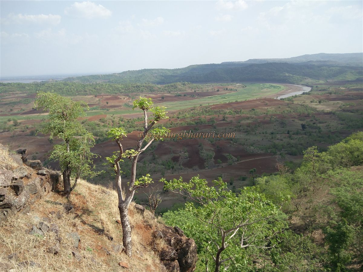
On the Maharashtra–Madhya Pradesh border, in a predominantly tribal area, the Aner River takes an S-shaped bend. This fort stands on a hill along the riverbank. Because of the nearby village of Satrasen, locals in the surrounding area refer to it as “Satrasen Fort,” while people living at the base call it “Khandaragadh.” It does not appear on any modern maps, and over the centuries it has lost both its name and its history.
...
The ruined cave remains here seem to have given rise to the name “Khandhar-gadh” — from khandhar (ruin in Hindi) in neighbouring Madhya Pradesh, combined with gadh (fort).
It is likely that in ancient times this fort was built to watch over the hilly Bhiram Ghat route, which connected the southern regions to Madhya Pradesh. Not far from here is Trivenigadh, which served a similar purpose. In earlier times, the town of Chaugaon was an important market for goods exported from Surat and Broach (Bharuch) ports in the south to foreign countries. Thus, both Trivenigadh and Khandaragadh were strategically important.
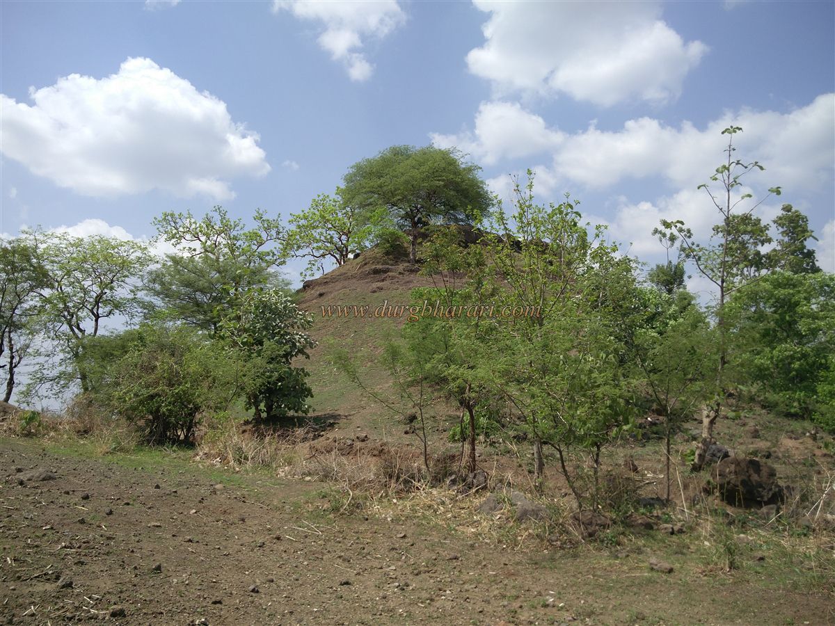
Khandaragadh stands at an elevation of 2,200 feet above sea level, or about 800 feet above its base. Located in the Satpuda mountain range west of Satrasen village, it covers an area of about 7 acres, with a length of 900 feet and width of 300 feet. To visit, one can travel from Jalgaon via Chopda to Satrasen village, or from Amalner via Lasur to Satrasen. From Lasur, Satrasen is only 10 km away. The base of the fort is 2 km from the village, with a dirt road leading to the banks of the Aner River. Vehicles can be left here, and after crossing the river, it takes about 20 minutes to reach the foot of the fort. During the monsoon, the river is impassable, so it is best to avoid visiting in that season.
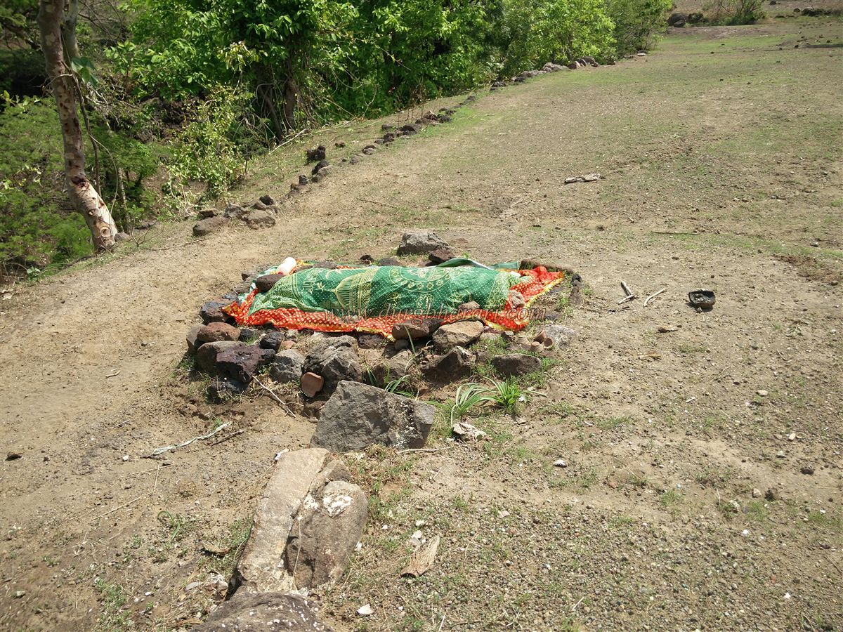
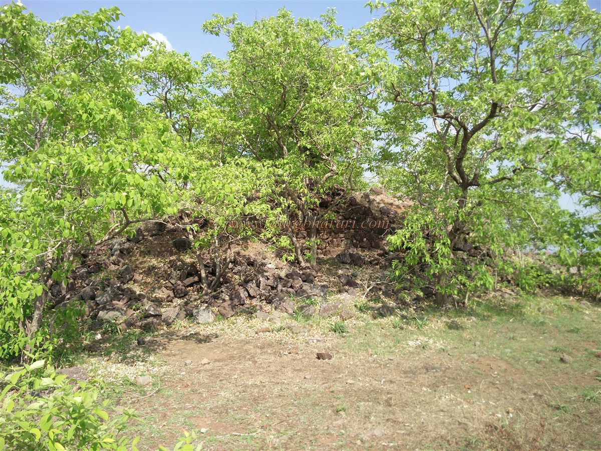
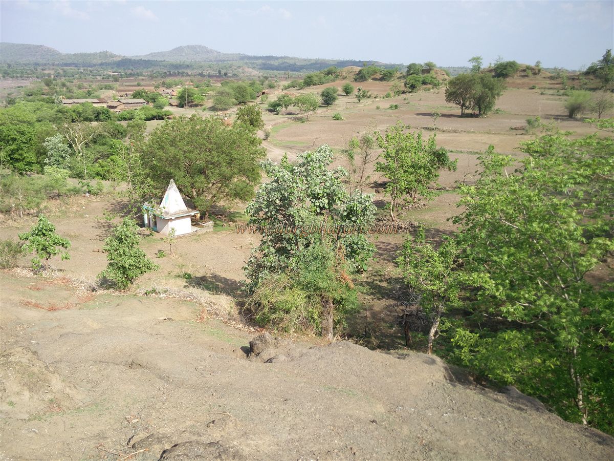
On the way up, one passes a small temple of Bhavani, a grave, and two more graves on a nearby hillock. The fort and its surroundings are lush with greenery, and below lies a small hamlet of the Bhil community. From the temple, a footpath leads to the fort. The gateway or arch is no longer standing; only small portions of the wall remain, allowing direct entry into the fort.
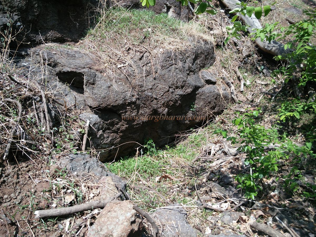
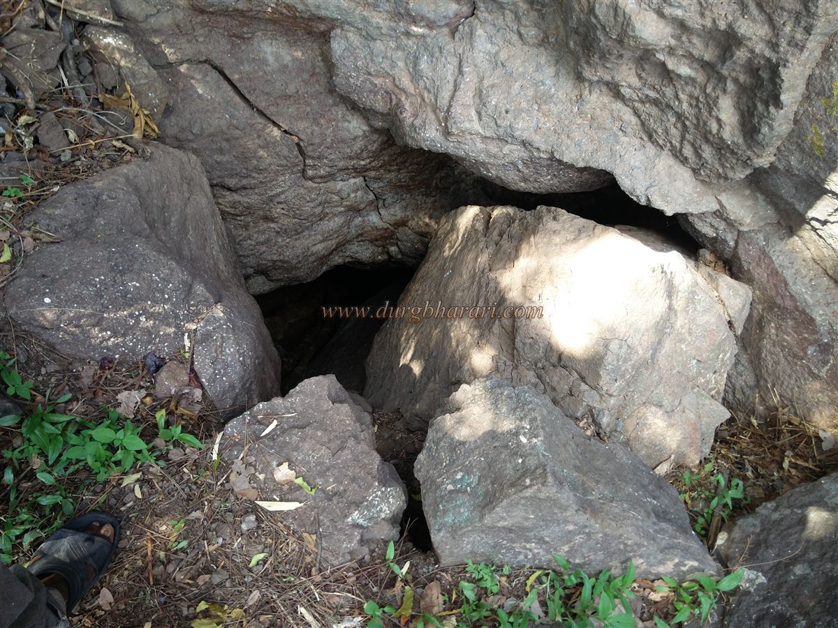
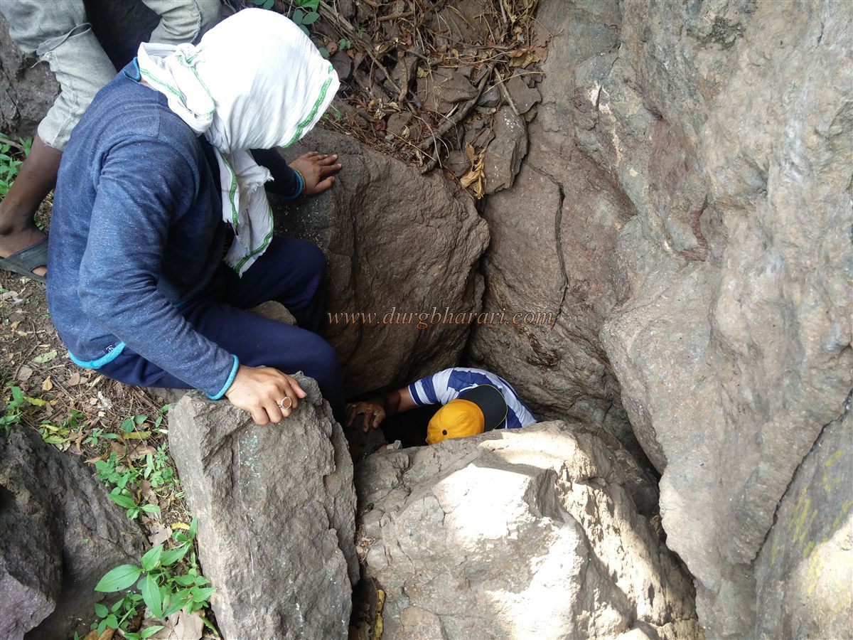
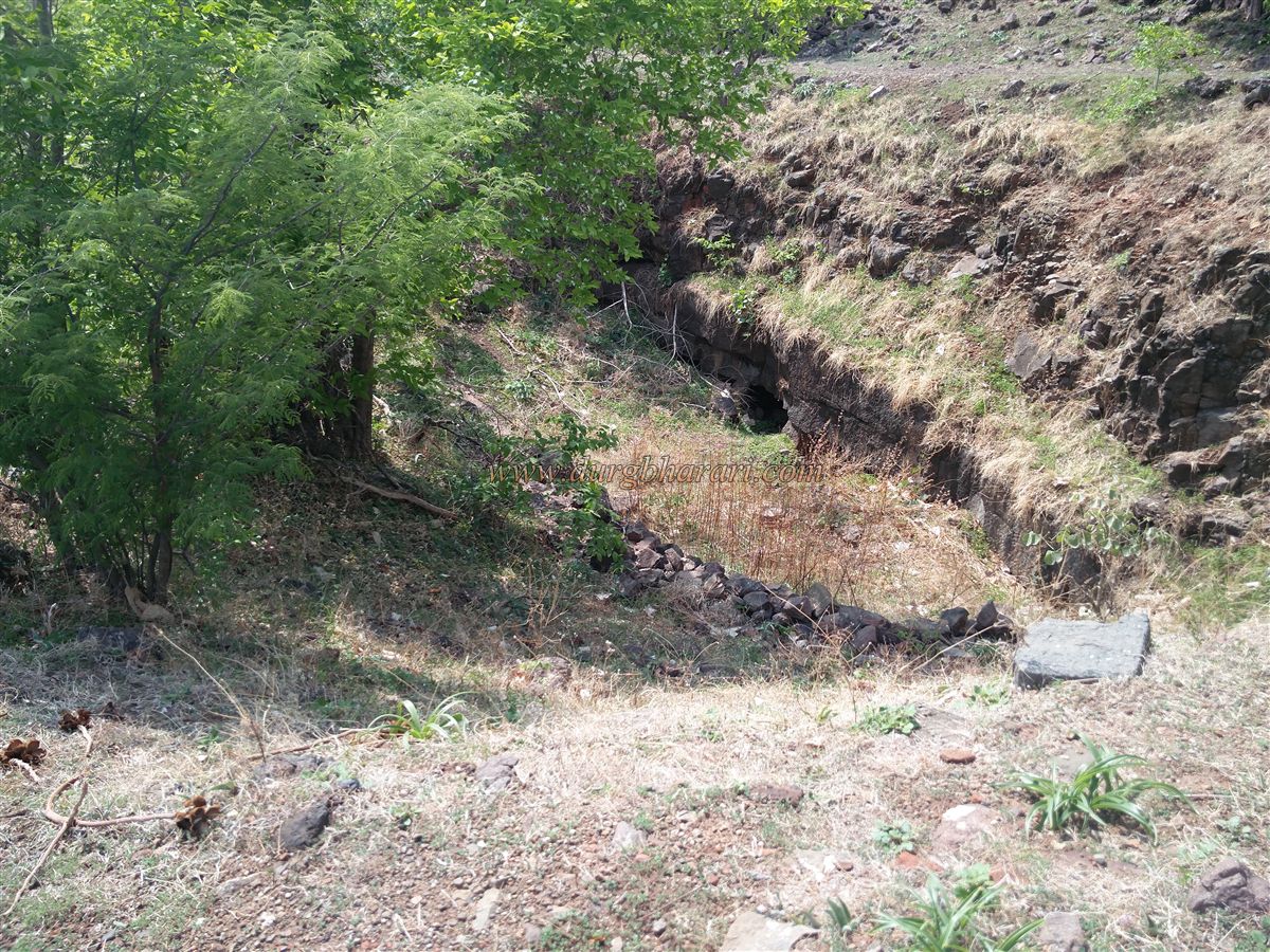
Before entering the fort, if one continues a little further along the same path, there is a small water cistern now filled with soil. Beyond it lies a natural wonder — a partially stone-blocked cave descending into the ground, about 150 feet long. Locals call it the bhuyar (underground passage). I descended about 40 feet inside, but due to the large number of bats, I had to turn back.
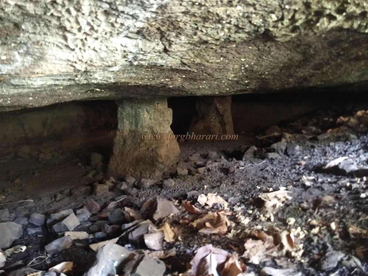
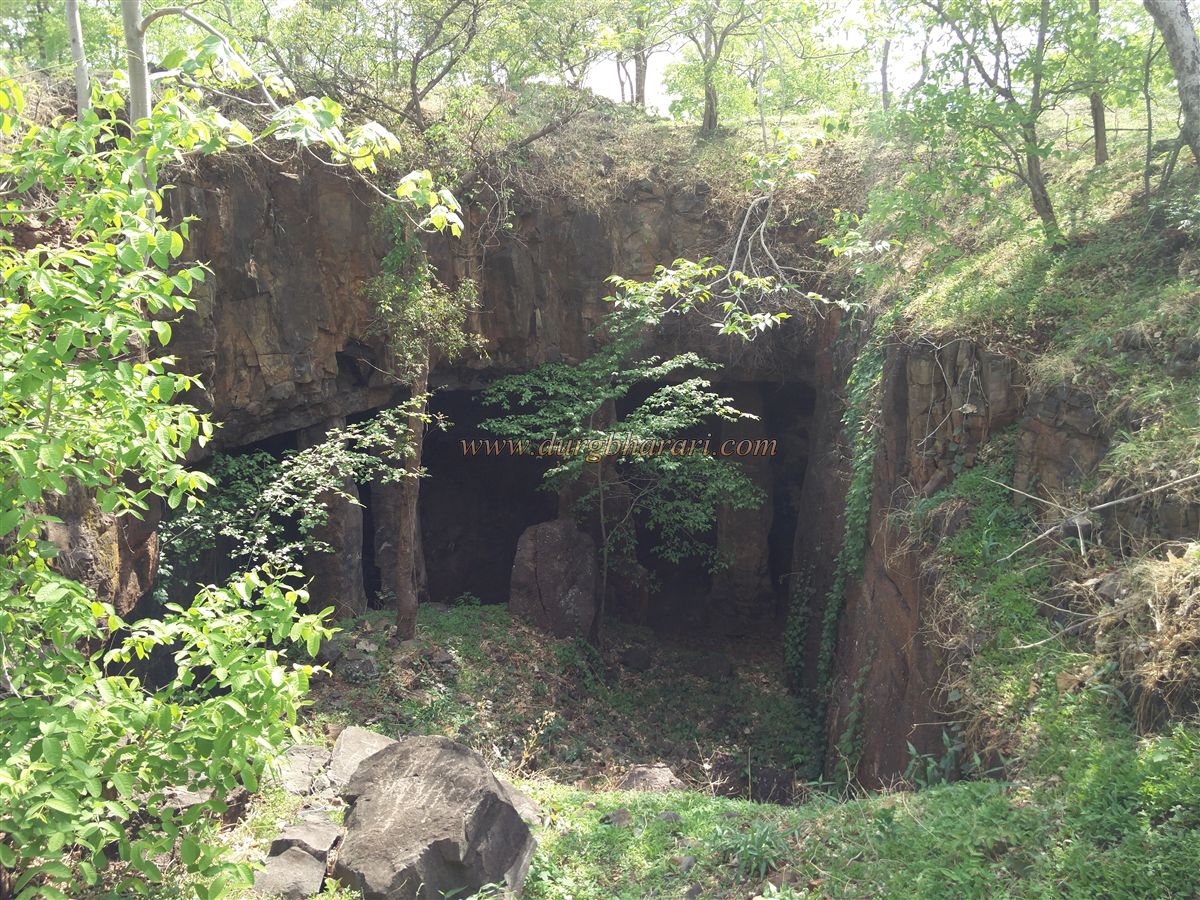
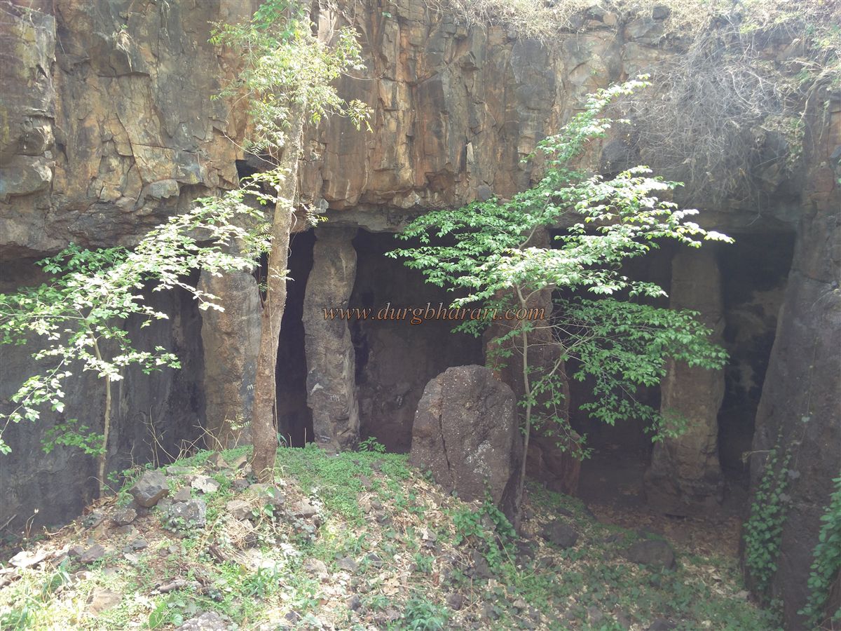
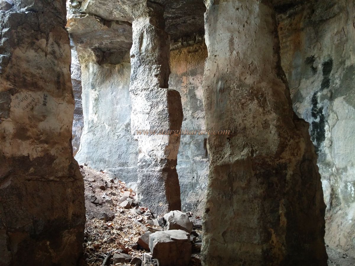
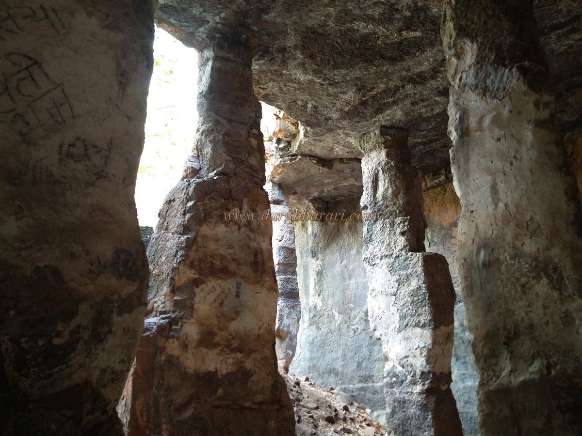
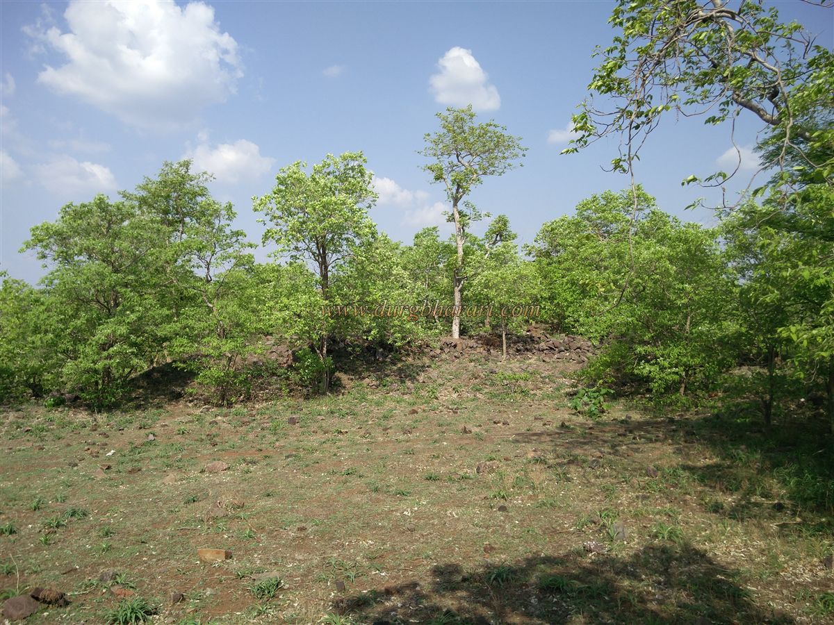
Although the fort is not very tall, the steep climb is tiring. The rock scarp is cut vertically around the top. From the base, it takes about an hour to reach the interior. The summit is covered with forest, and directly ahead lies a dry tank filled with soil. Inside the tank, supported on four stone pillars, is a rock-cut cave of the earliest style, showing rough, unrefined workmanship.
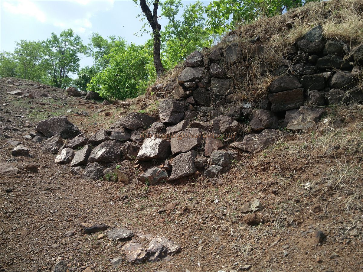
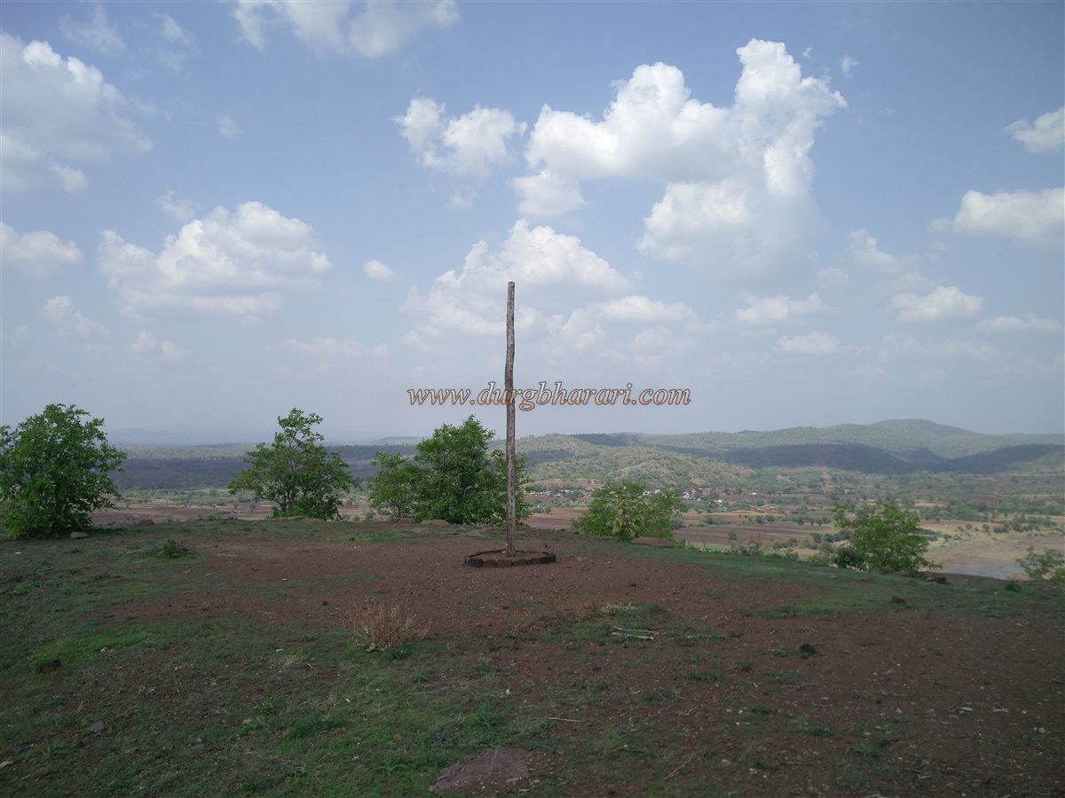
Crossing the tank and moving to the right, one sees the remains of a bastion and a path leading further onto the fort. In the thickets ahead, traces of old houses are visible. The area is overgrown, hiding the structures from view. A little ahead is a flag post site and a small hut-like shrine. There is no idol here; instead, a carved stone is revered as the deity.
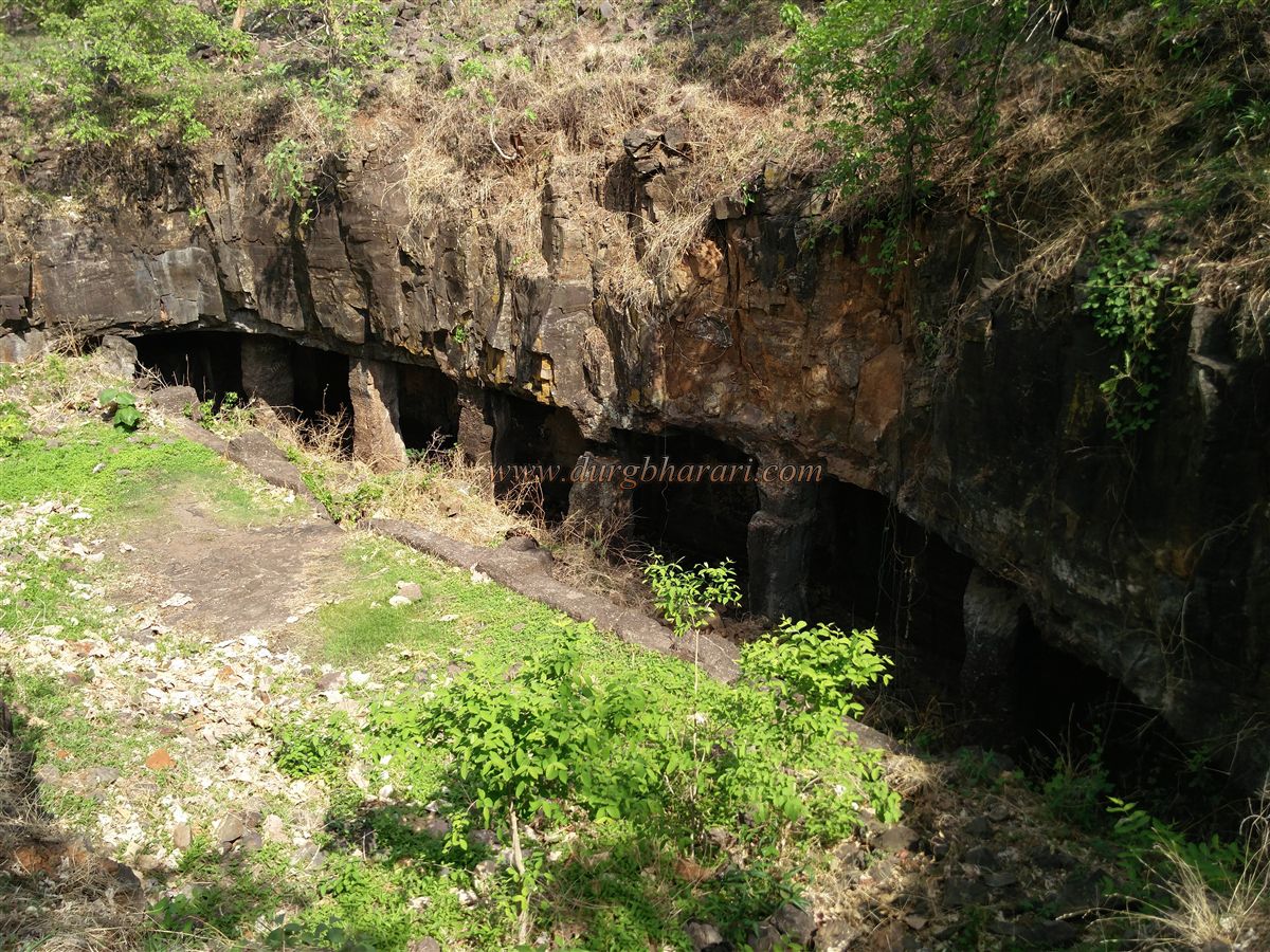
Further on are two rainwater catchment tanks. Beyond them, in a forested area at a lower level, rock-cut caves with arched entrances can be seen. These resemble rest chambers (owaris) and lack symmetry. Opposite these caves, at ground level, is another large cave supported on four pillars, about 30 feet high. All these caves belong to the earliest phase of excavation and show neither uniformity nor fine workmanship.
Moving ahead, one finds the remains of a collapsed mansion and temple, as well as sections of a fallen wall. Once a year, a fair for the fort’s guardian deity is held here, during which a goat sacrifice is offered. This spot is at the fort’s western end. Here, the ridge has been cut through to separate the fort’s hill from the adjoining hill, making access more difficult for attackers. This completes the circuit of the fort, which takes about an hour to explore.
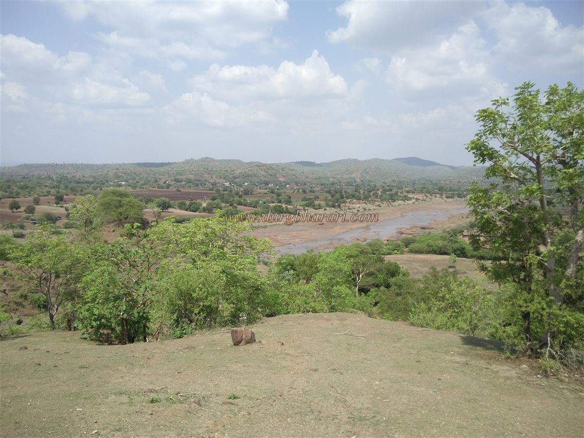
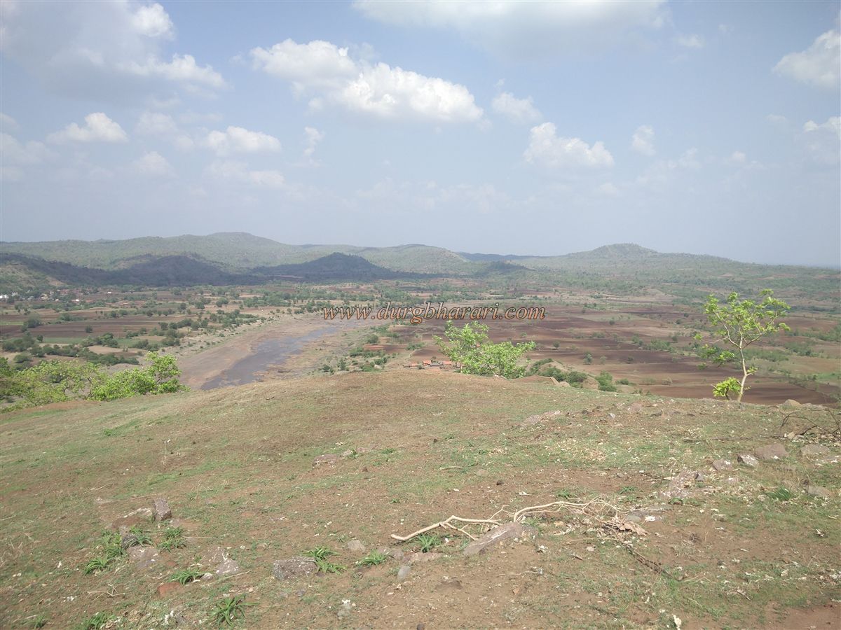
From the fort, the S-shaped course of the Aner River can be seen flowing into the distance, along with a panoramic view of the surrounding region. The fort is beautiful, but there is no drinking water available today, so visitors should carry their own supply.
Looking at the fort’s caves and nearby rock-cut structures, there is little doubt that Khandaragadh was built in ancient times. In the Jalgaon region, forts were generally under the control of the Ahir dynasty, the Rashtrakutas, the Yadavas, and their feudatories. This fort was likely under the rule of the same powers.
Khandaragadh is one of the must-see forts of Jalgaon district. Even if it requires a slightly long journey, fort enthusiasts should visit it at least once.
© Suresh Nimbalkar
GALLERY