KHAIRAIGAD
TYPE : HILL FORT
DISTRICT : NASHIK
HEIGHT : 2150 FEET
GRADE : MEDIUM
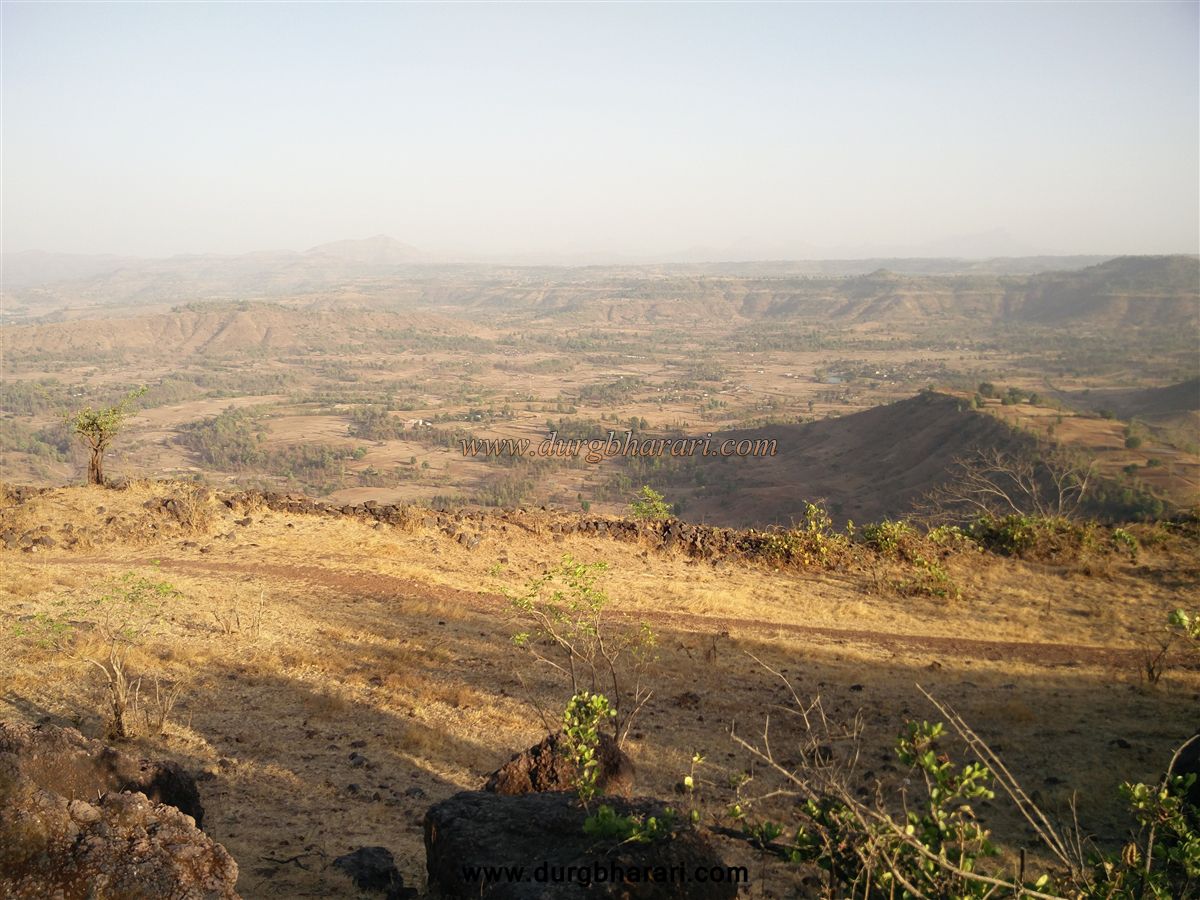
There is a small fort called Khairaigad near Harsul in Peth taluka of Nashik district. This fort, located on the outskirts of Sahyadri, in Peth at Nashik district, was built to keep an eye on the medieval trade route and wharves descending from Nashik to North Konkan via Trimbakeshwar-Jawahar. Located at an altitude of 2271 feet above sea level, the fort is surrounded by many small tribal settlements like Machipada, Boripada, Satyachapada, Behedpada, Phanaspada, Savarpada, and Thanapada. The distance between Nashik-Trimbak-Waghera-Harsul-Thanpada-Khairaipali is 70 km. There are two ways to reach the fort from here. On the right side of the fort, a hummock on the right side can be seen descending. An unpaved road can be seen from the settlement towards the fort.
...
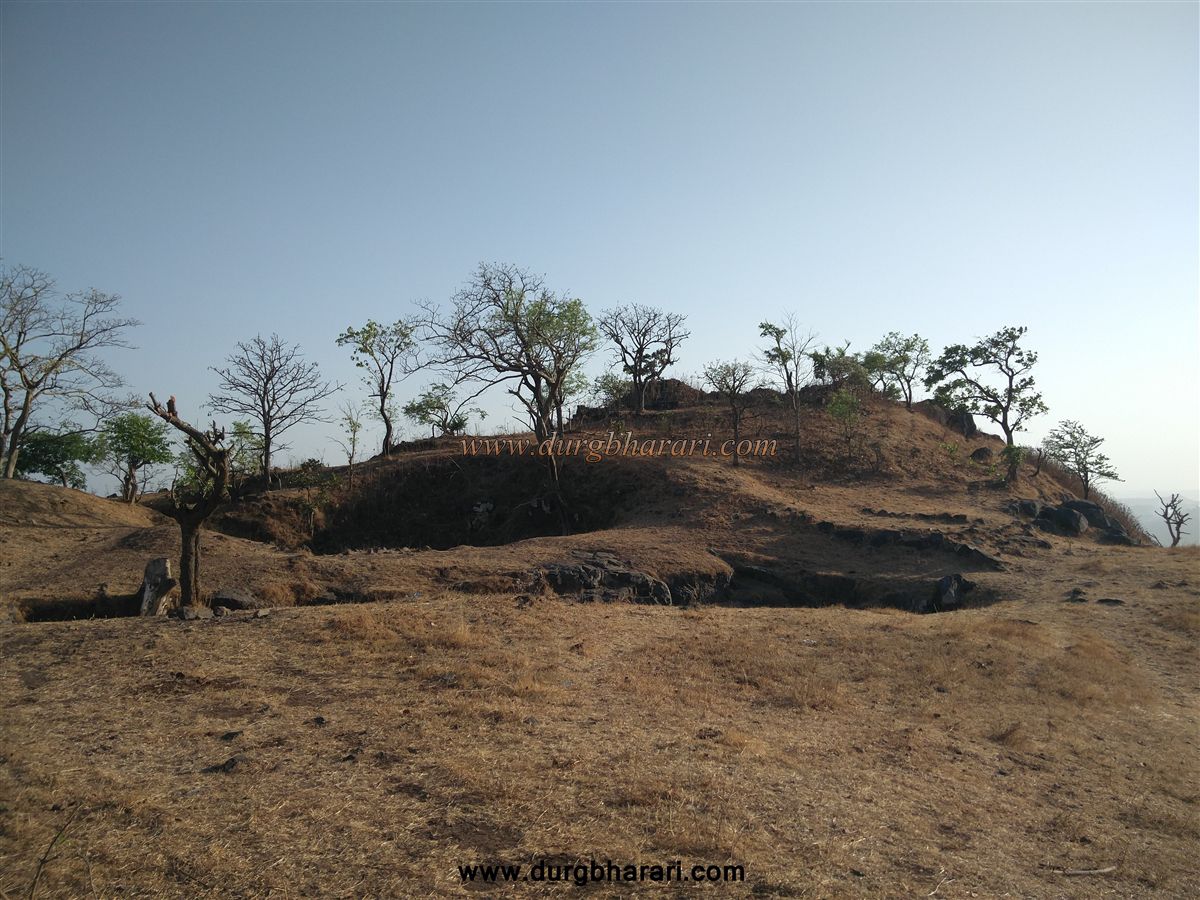
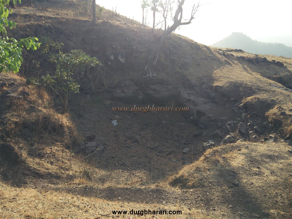
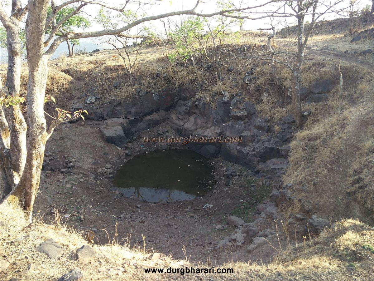
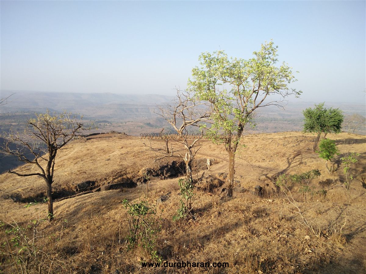
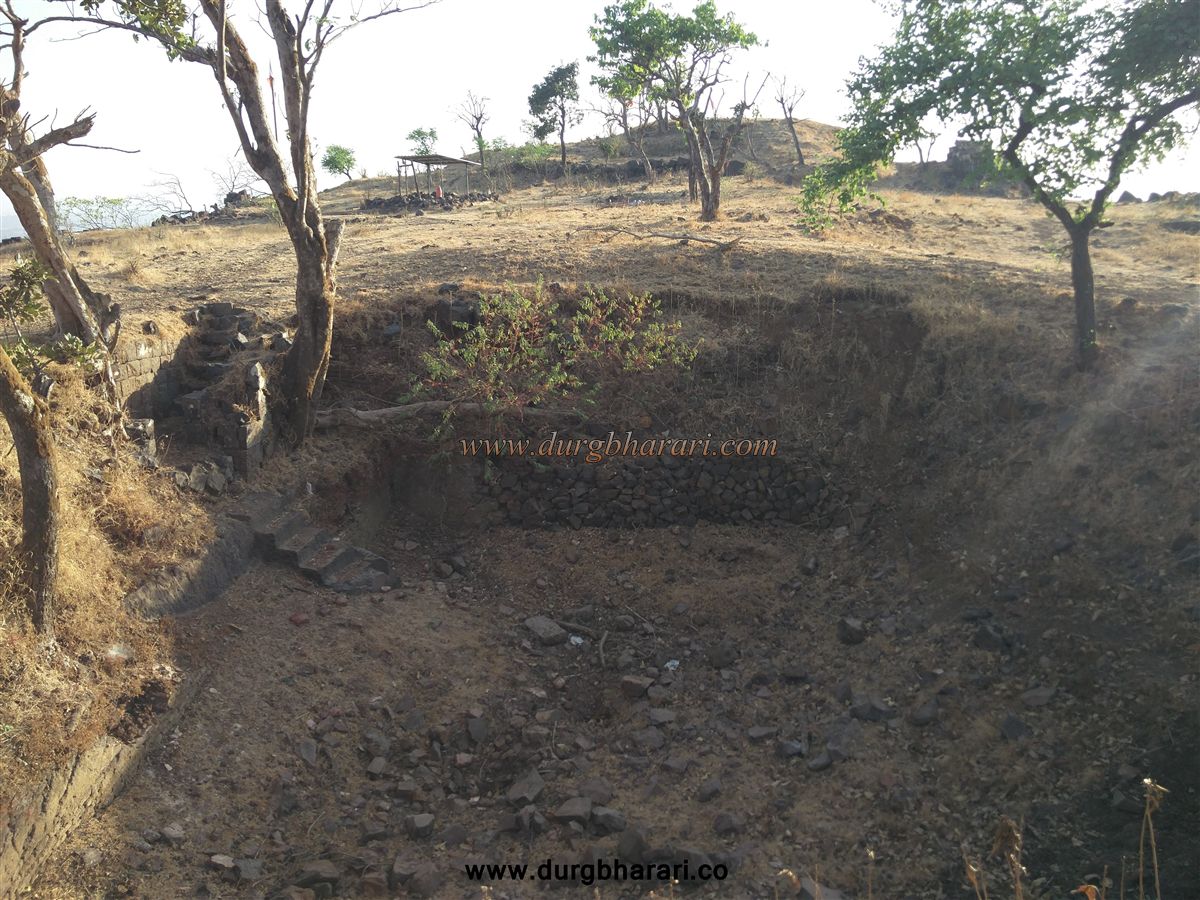
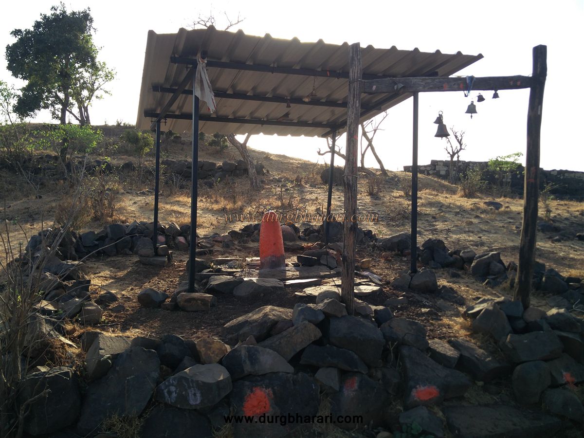
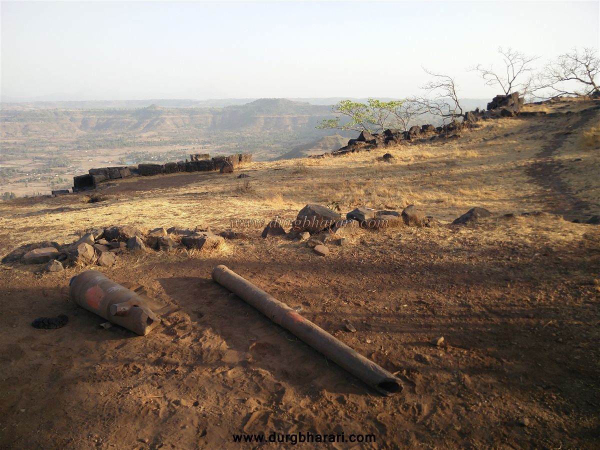
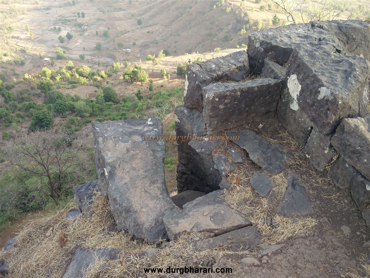
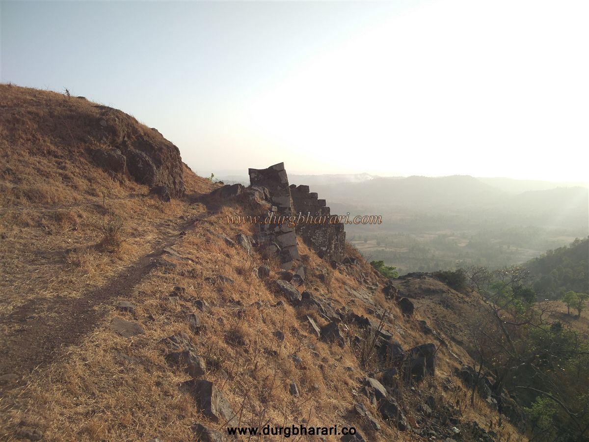
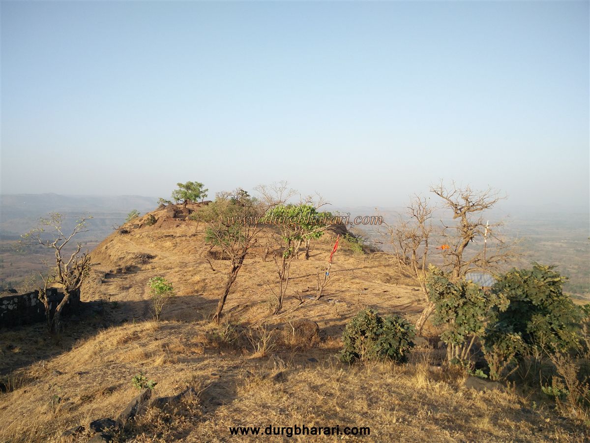
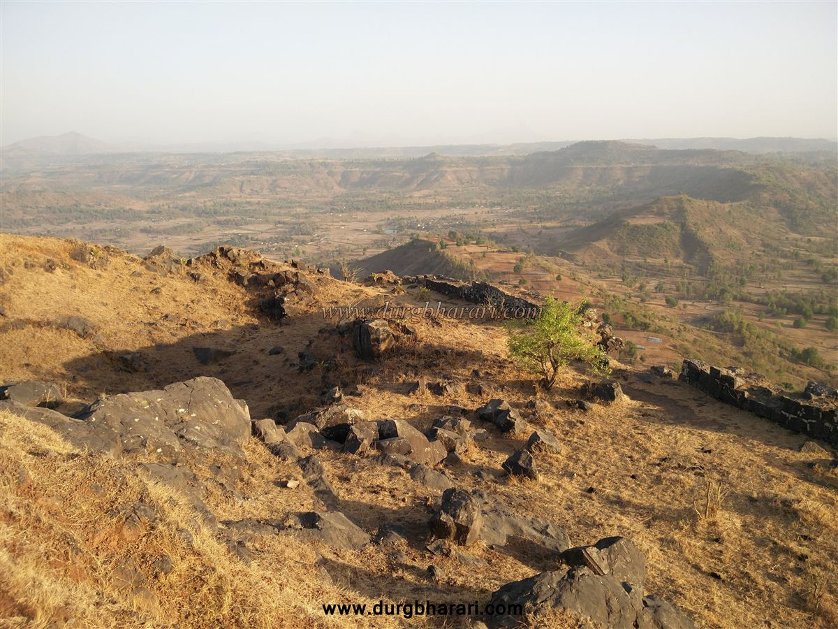
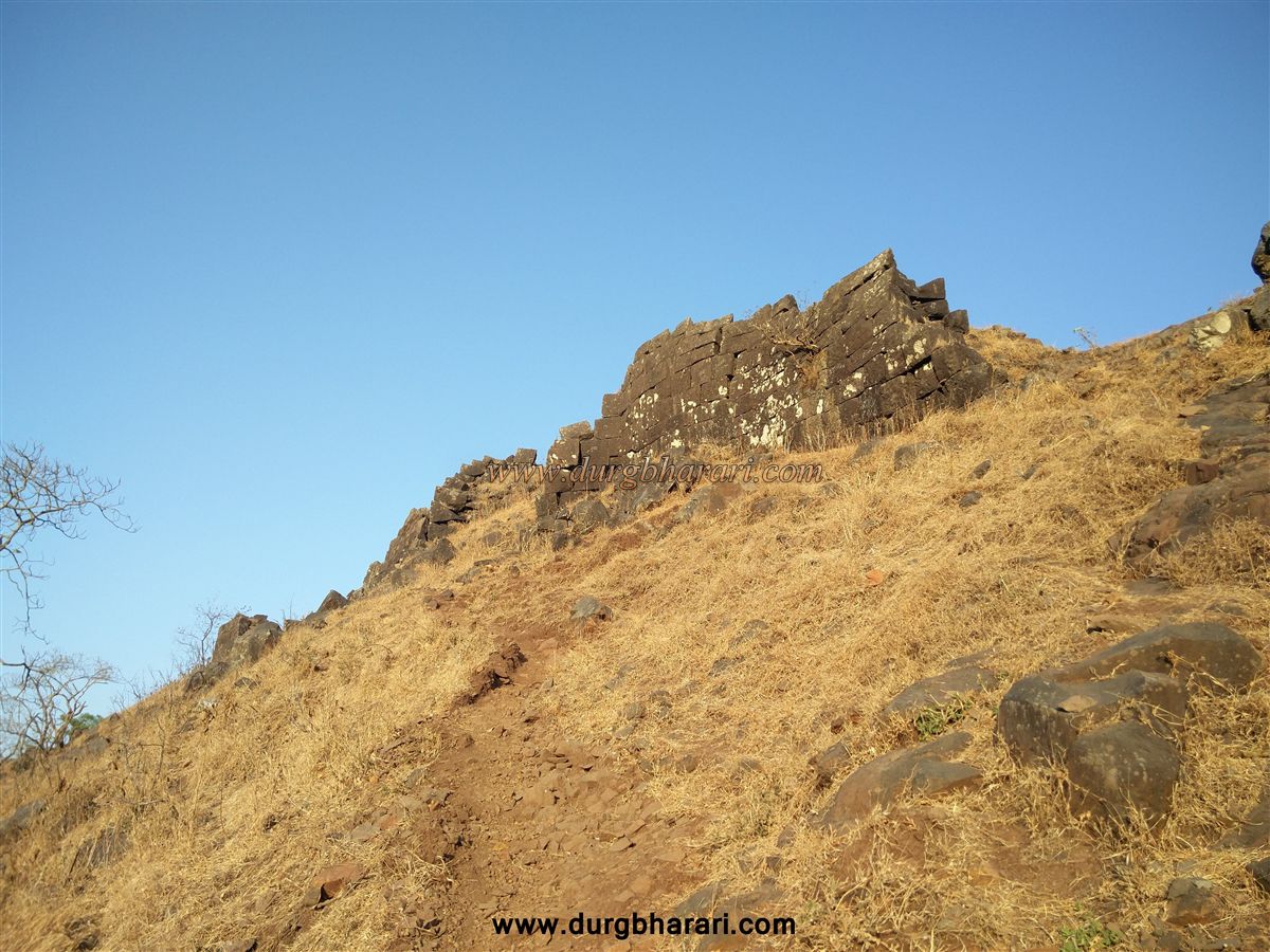
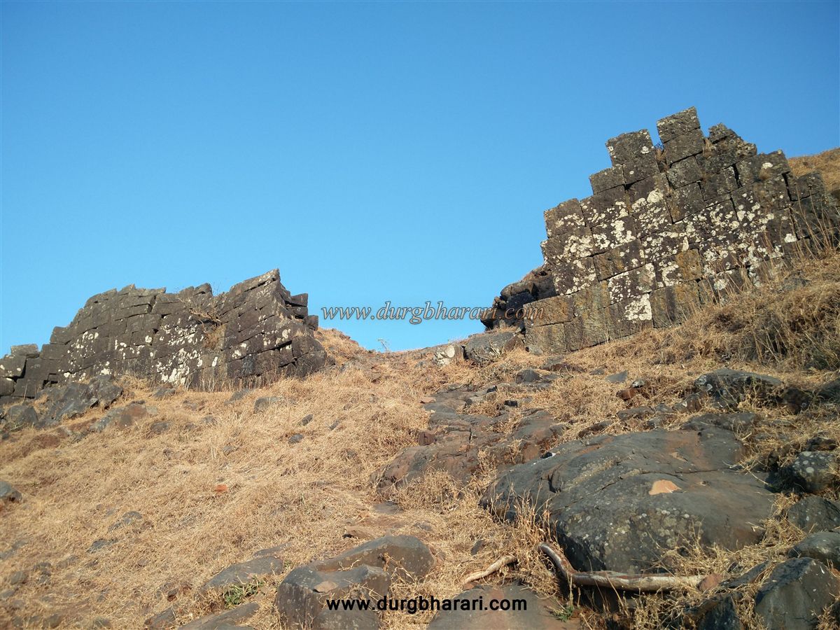
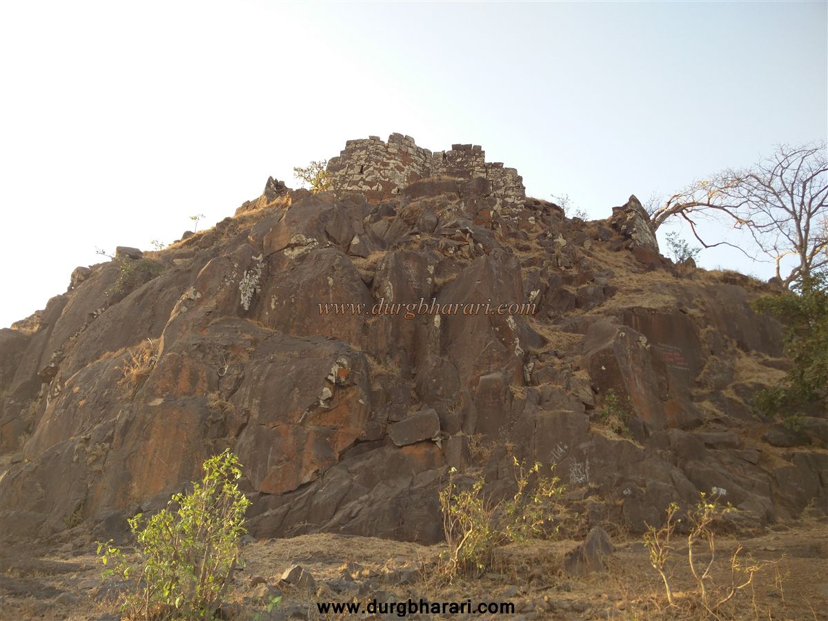
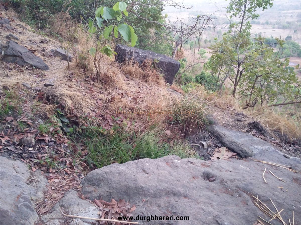
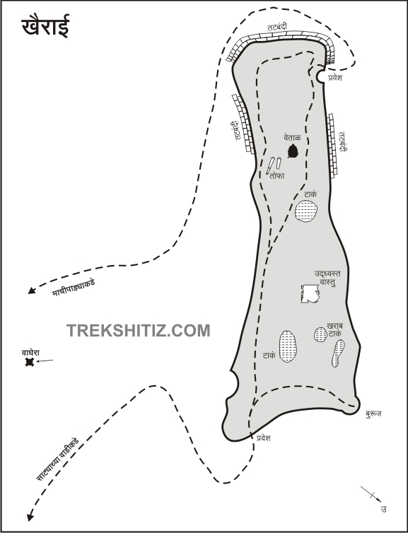
This path goes to the settlement on the Machi called Machipada with 10-12 houses. The bastion of the fort can be seen from the vertical slope in front of this path. Here you can enter the fort from the broken ramparts by a small and easy rock climbing. It takes one hour to reach the fort by this route. The second way to reach the fort was to go straight to Machipada on Khairai Machi and start climbing the fort by going towards the direction of the ramparts visible from there. When we come to the base of the bastion, we should enter the fort through the ruined gate at the back of the fort, keeping the bastion and the head of the fort to the right. This route is much easier than the first route although it takes one and half hours to reach the fort. Since the first path is not very difficult and saves your time, climbing from this path and descending from the second path saves your time and you can walk around the entire fort with less effort. Upon entering the fort by the first route, the fortified enclosure of the fort is visible. The fort has a simple rectangular shape and is spread over 3 acres from south to north. There are a total of twelve bastions in the ramparts of the fort. When you enter, you can see four water cisterns carved in the rock in front of you, while on the right side you can see the top of the fort which is still in good condition. On the hummock at the back of the cistern, a large quadrangle structure of a building can be seen. Considering the size of this structure, it should have been the mansion of the fort keeper or the administrative office of the fort. There is a small pond at the front of this quadrangle structure and there are excavated and built steps to get down to this pond. At the back of the pond is a small non-walled temple covered with tin shelter. There is an idol in this temple and the locals know it as Vetaldev. Two broken cannons are lying on the temple premises. The ramparts and bastions on the right and left side of the temple are still intact and a toilet can be seen in the ramparts on the left. The hummock behind the temple is the highest point on the fort and the entire fort area can be seen from there. The ramparts of the fort are crumbling and the remnants of a completely extinct gate can be seen at the bottom of the hummock. The ramparts in the hollow area to the north of the gate are still standing and on the left side of the hill, there is a dry cistern filled with mud. From this high part of the fort, one can see Waghera fort, Harihar, Trimbakgad, and the distant mountain range. This is where your fort round ends. Half an hour is enough to see the entire fort. Descending through the ruined gate of the fort, the hummock has been dug to remove rock used in the construction of the fort and one can see the marks of abandonment as well as a partially carved cistern in front of the gate. Proceeding on this path, you come to the top of the Machipada settlement, but instead of going to Machipada, turn left towards the settlement of Satyachapada. After walking some distance along this path, you can see thick bushes on the lower side. There are two water cisterns carved in the rock on the hillside and Shivling is carved on the rock next to this cistern. There is a spring of pure water near this cistern and it has water all year round. The original path to the fort used to go up from here but it has been destroyed over time. Although there are a total of six water cisterns on the fort, there is no potable water in any of the cisterns. During Shivaji Maharaj’s period, the fort was under the control of the Mughals. According to the information given by the people of Khairai village, on his first expedition to Surat, Shivaji Maharaj reached Surat via Jawahar and conquered Khairaigad. Maharaj was inaugurated on this fort on January 1, 1664, but there is no documentary evidence for this. There is an official record that in 1676 while conquering this land known as Ramnagar, Shivaji Maharaj annexed Khairaigad to Swaraj. In 1790, Chimanaji Dalpatrao, the founder of Peth, gave the fort to the Narhar Gopal Peshwa government to pay his loan.
© Suresh Nimbalkar
GALLERY