KARVIR KOT
TYPE : GROUND FORT
DISTRICT : KOLHAPUR
GRADE : EASY
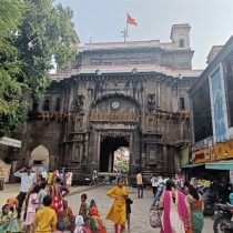
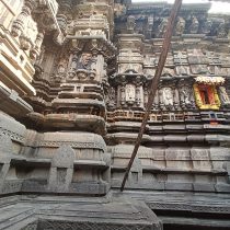
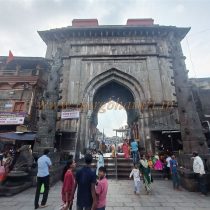
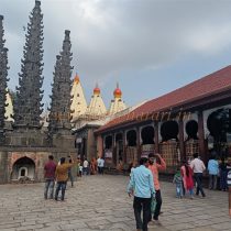
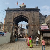
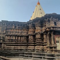
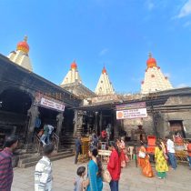
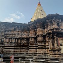
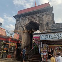
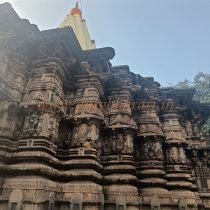
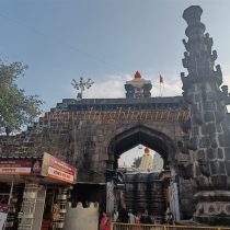
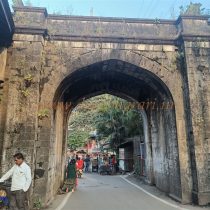
Kolhapur city is known as a historical and ancient city situated on the bank of Panchganga River in Maharashtra. We all know Kolhapur city because of the ancient Mahalakshmi temple here. But very few people realize that once upon a time old Kolhapur/Karveer city was located inside the fort i.e. Nagarkot. With the passage of time due to increasing urbanization and various other reasons, this fort with its ramparts, bastions and other gates was demolished. Today, in the area from Bindu Chowk to Bal Gopal Talim, we can see the fortifications of this fort, four bastions and a door. The gate arch, two bastions and ramparts seen here are still further south. There are two bastions and ramparts in front of it. It has fallen to a large extent and bushes have grown on it. At present, parking facilities for the cars of devotees going to Mahalakshmi temple have been provided here. Apart from this, the construction of the Fort can be seen at the back of Vitthal temple.
...
The strong bastion and Nagarkot door at Bindu Chowk bear witness to the history of Karveer Nagar. After going to Kolhapur city, fort lovers might want to visit this place. One hour is enough to see these remains of Fort in Bindu Chowk. During the reign of Chhatrapati Shivaji Maharaj around 1659, when Kolhapur came under the control of the Marathas, the old Kolhapur city is mentioned as Kasba Kolhapur. Around this Kasba Kolhapur there was a mud wall at that time. But the city of Kolhapur gained its real importance later. After AD 1730, during the reign of Maharani Tarabai and Chhatrapati Sambhaji I (Kolhapur), this mud fort was demolished and a strong fortification was built in its place. This fortification of the fort was spread in the area of today's Bindu Chowk-Chhatrapati Shivaji Putala- Papachi Tikti-Gangaves-Rankala Ves-Varuntirtha- Mirajkar Tikti Balgopal Talim. The height of these ramparts was about 25 feet and the width of the ramparts was about 10 to 22 feet. Outside this fort there was a deep trench and a bridge was built over it to reach the fort. According to documents, there were a total of 43 bastion in this fort and there were small gates like Gangaves, Rankalaves, Varunatirthves, Aditvar Ves, Mangalvarves, and Shanivarves for in out movements. But now that the original map of this Fort has been found, the list of total 34 bastions, their names has been released. After the independence of Kolhapur fortress in 1731 AD, the capital was shifted from Panhalgad to Kolhapur in 1778. But before that, the construction of Karveer fort and inner capital was completed. But later on, due to the rapid growth of the city, the city became unsanitary due to various conditions, narrow roads, stench, garbage and many other things, and in 1889 AD, the municipality decided to demolish the ramparts. The ramparts were demolished and used to fill the trench, the gates were demolished and a wide road was made in its place. The roads were prepared just as we see them on today’s date.
© Suresh Nimbalkar

