KALYANGAD
TYPE : HILL FORT
DISTRICT : SATARA
HEIGHT : 3460 FEET
GRADE : EASY
Maharashtra has a rich tradition of forts. While traveling through Western Maharashtra, one can see numerous forts scattered across the Sahyadri mountain range. During the reigns of various dynasties, forts and citadels adorned the slopes and peaks of the Sahyadri, making the entire range studded with these strongholds. One such fort, built during the reign of Shilahara ruler Bhoj II, is Nandgiri, also known as Kalyangad. This fort stands in Koregaon Taluka of Satara district, about 20 km from Satara city. While entering Satara city from Pune on the Mumbai–Bangalore highway, there is a diversion at Vanvaswadi towards Dhumalwadi village at the base of the fort, 15 km from the highway. From Satara Road bus stand, Dhumalwadi is 2 km away. Wind turbines have been installed on and around the hill where Kalyangad stands, and as a result, a network of rough roads has been laid on the hill.
...
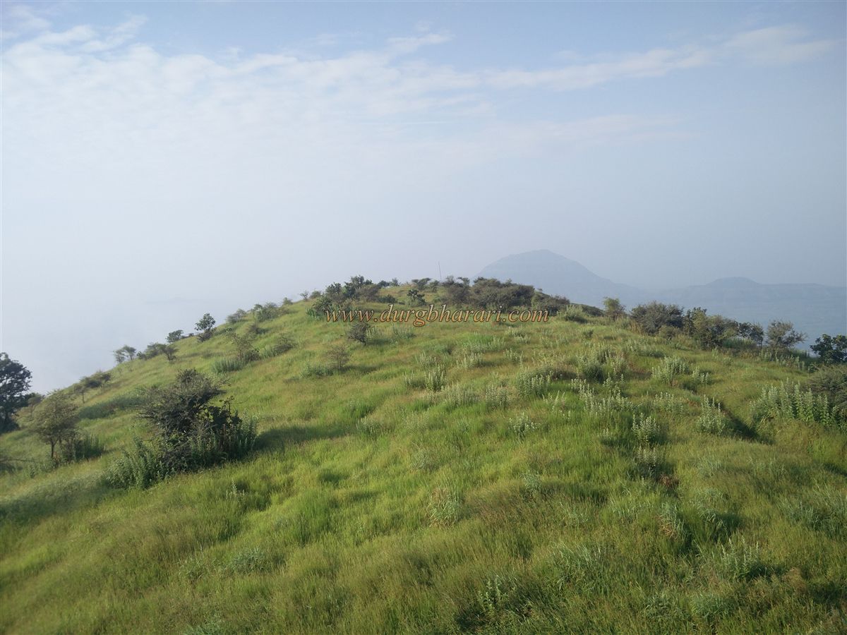
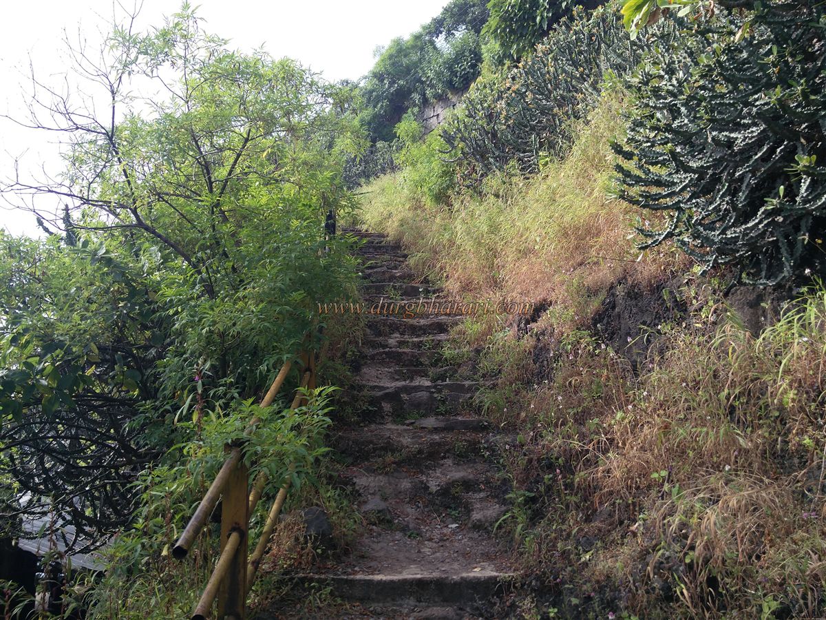
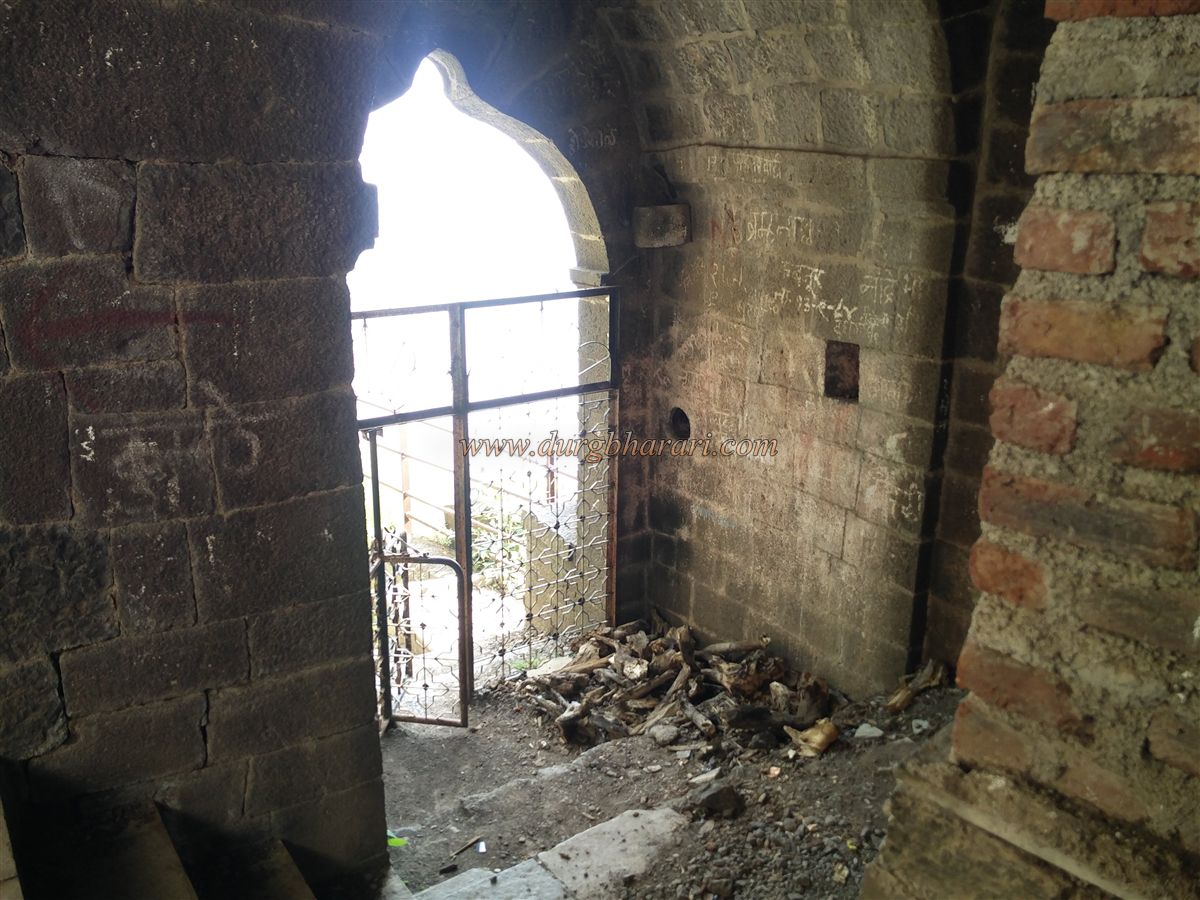
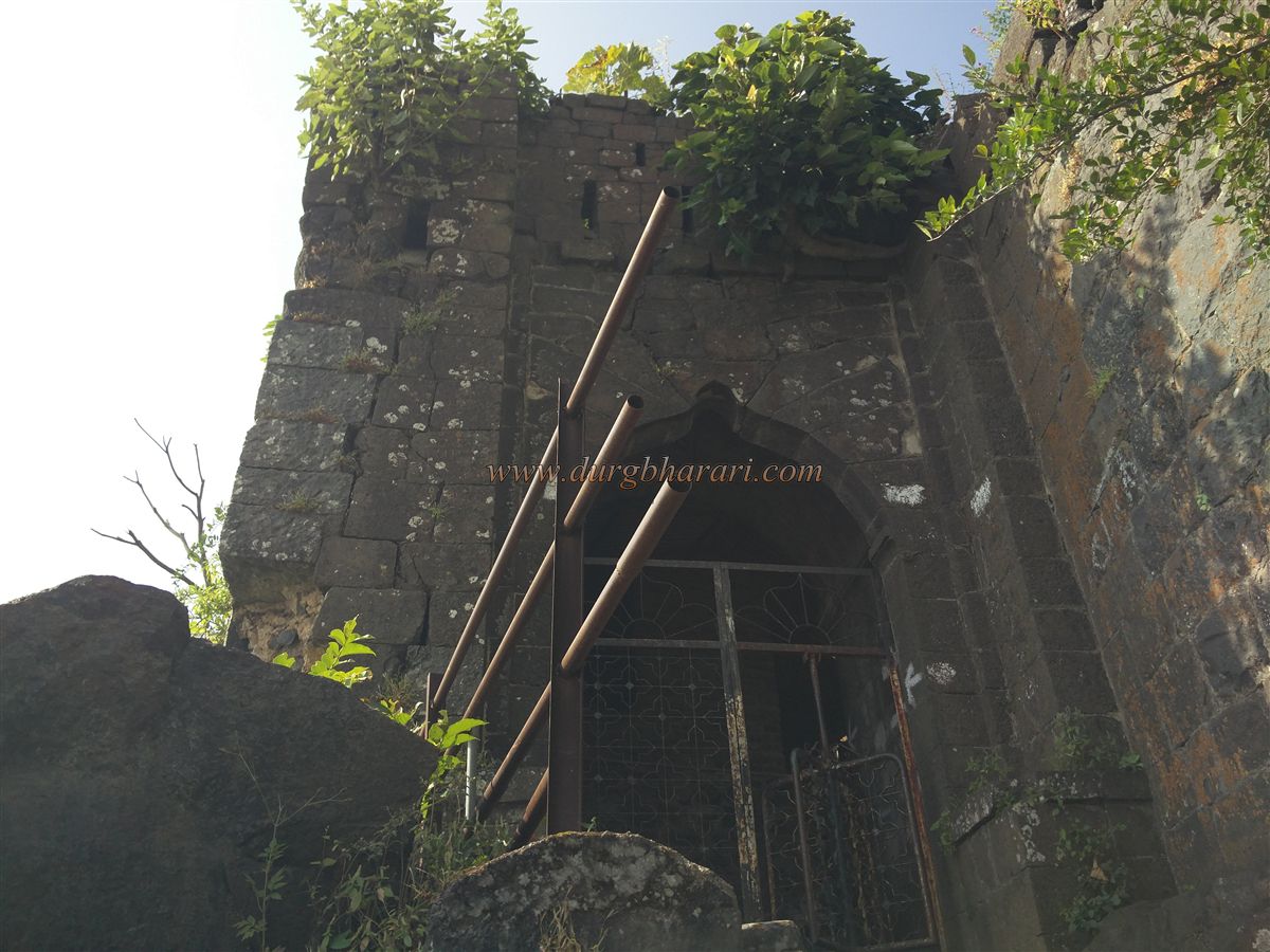
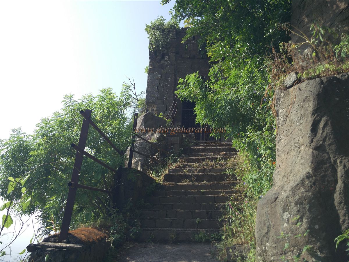
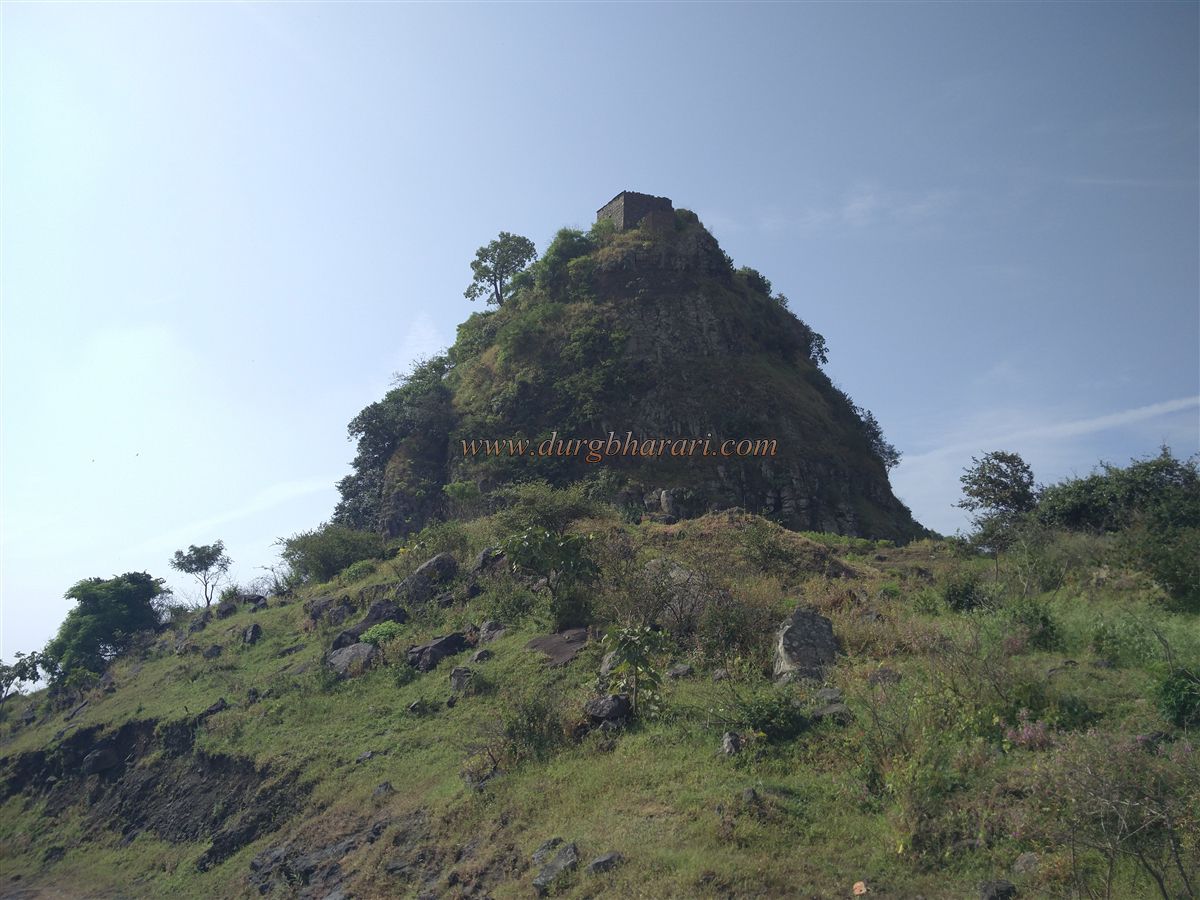
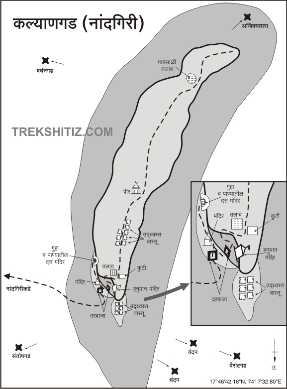
If one has a private vehicle, the 4 km distance from Dhumalwadi to the base of the fort can be covered without climbing the hill, leading directly to the foot of the knoll where the fort’s summit lies. From Dhumalwadi, there is a footpath to the fort, well-trodden as locals frequently visit the temple atop the fort. At the start of the route, a few new stone steps have been built. Then, after ascending half the hill on a gravel path, one encounters a carved pillar-base in the rock. The fort has an electricity supply, and the path passes under electricity poles laid to the top, joining the final stretch of the rough road to the fort. It takes about an hour to reach the northern spur of the fort from the base. This is the only path to the fort. Upon reaching the plateau below, one can see a northern bastion and a dilapidated building on top, which now has a newly added roof. The narrow crest of Kalyangad stretches about 8 acres from south to north, at an elevation of 3,450 feet above sea level. Keeping the spur on your right, a 5-minute walk along the edge brings you to the north-facing main entrance built on a cliff edge. To prevent cattle from entering, devotees have installed an iron grill gate at the entrance.
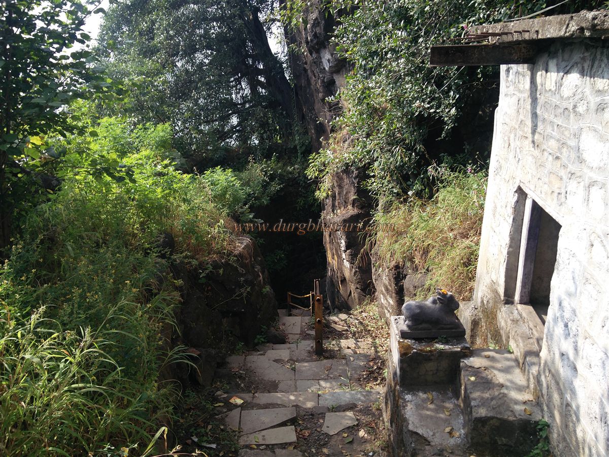
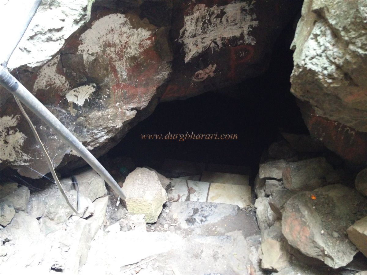
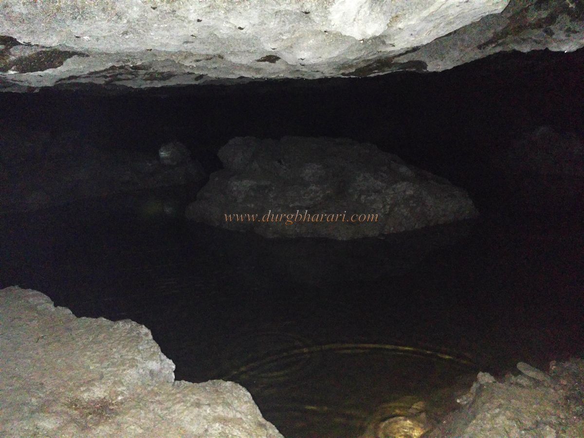
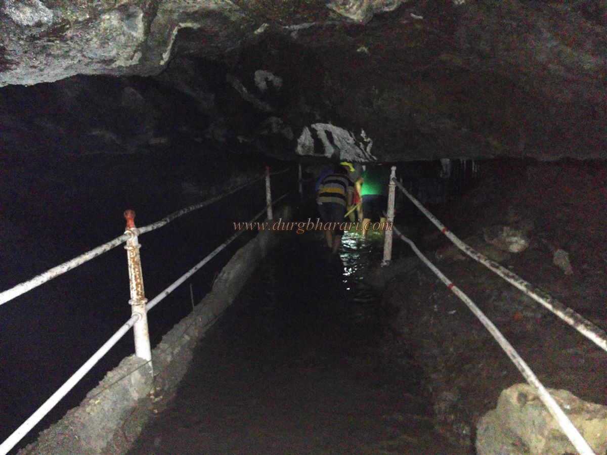
Fifteen to twenty stone steps lead up to the gate, which opens to the fort. A small new room stands at the gate. The path to the right leads to the upper part of the fort, while the left-hand path descends along steps adjoining the fortification wall. At the end of these descending steps lies the main attraction of Kalyangad — a cave with a small entrance. This cave is essentially a tunnel, about 100 feet long, 15 feet wide, and 6–7 feet high. At its innermost end are three chambers. One contains an idol of the Jain Tirthankar Lord Parshvanath, dating to the 9th century, with a seven-hooded serpent over his head. The other two chambers hold newly installed idols of Dattatreya and a goddess. The tunnel’s most remarkable feature is its darkness and the cold water that remains year-round. In earlier times, visitors had to wade through neck-deep, waist-deep, or knee-deep water at different seasons. Now, due to devotees’ efforts, railings have been built on both sides of the path inside the tunnel, and stones have been laid to raise its level, ensuring the water is only knee-deep along the walkway, though it remains deeper elsewhere. Because of the pitch darkness, one must carry a torch to enter.
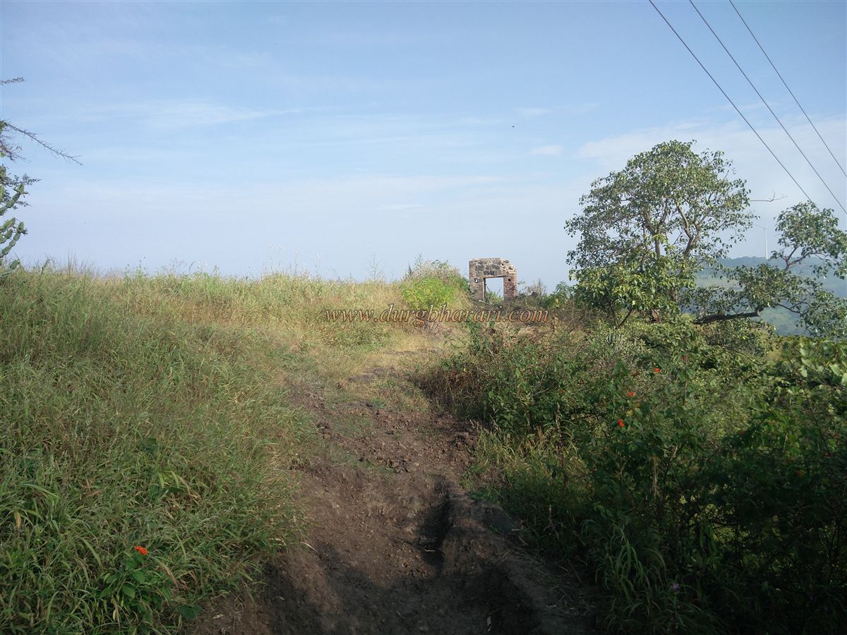
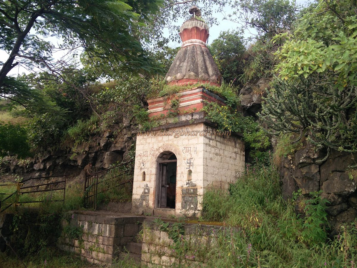
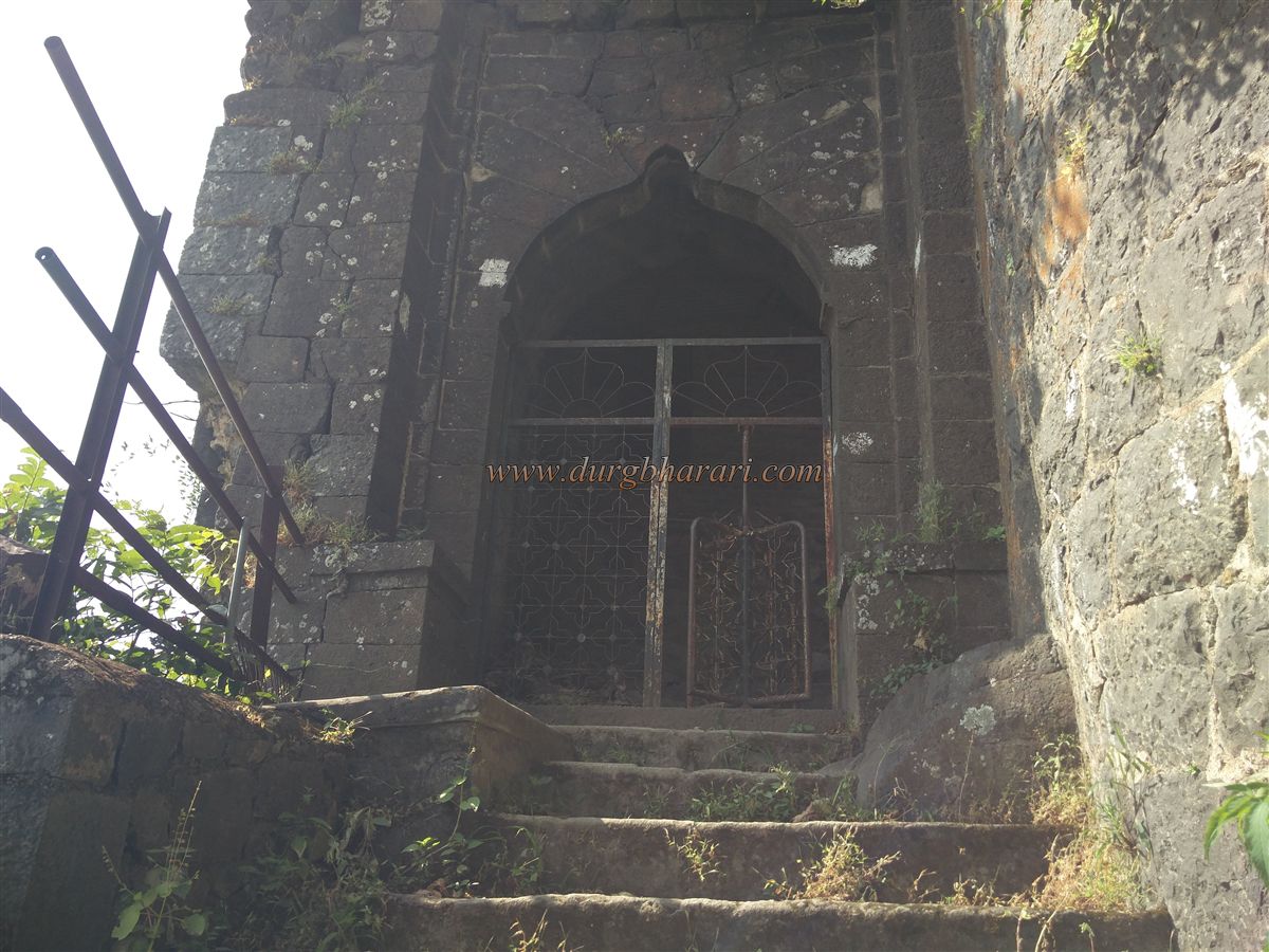
After visiting the cave, the right-hand path from the gate leads towards the summit. A short climb brings you to the eastern-facing second gate, protected by two bastions and fitted with an iron grill door. Inside, on the right, is a small Hanuman temple of stone construction, built on a dressed-stone platform. Lord Ganesh is carved in lime plaster on the temple spire, and an inscription on the temple wall records its renovation. Beyond the temple to the right lies the northern bastion, with a room that can accommodate 8–10 people. Continuing straight towards the summit instead of returning to the Hanuman temple, you come across an arch, seemingly the doorway of some structure, built by combining old and new construction.
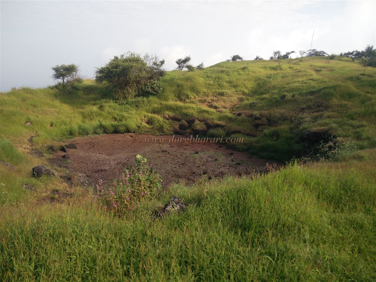
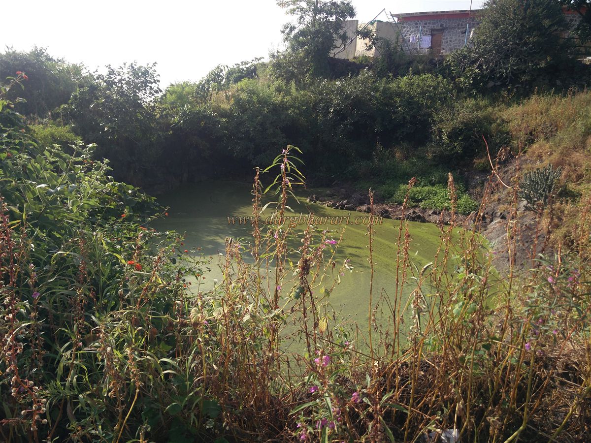
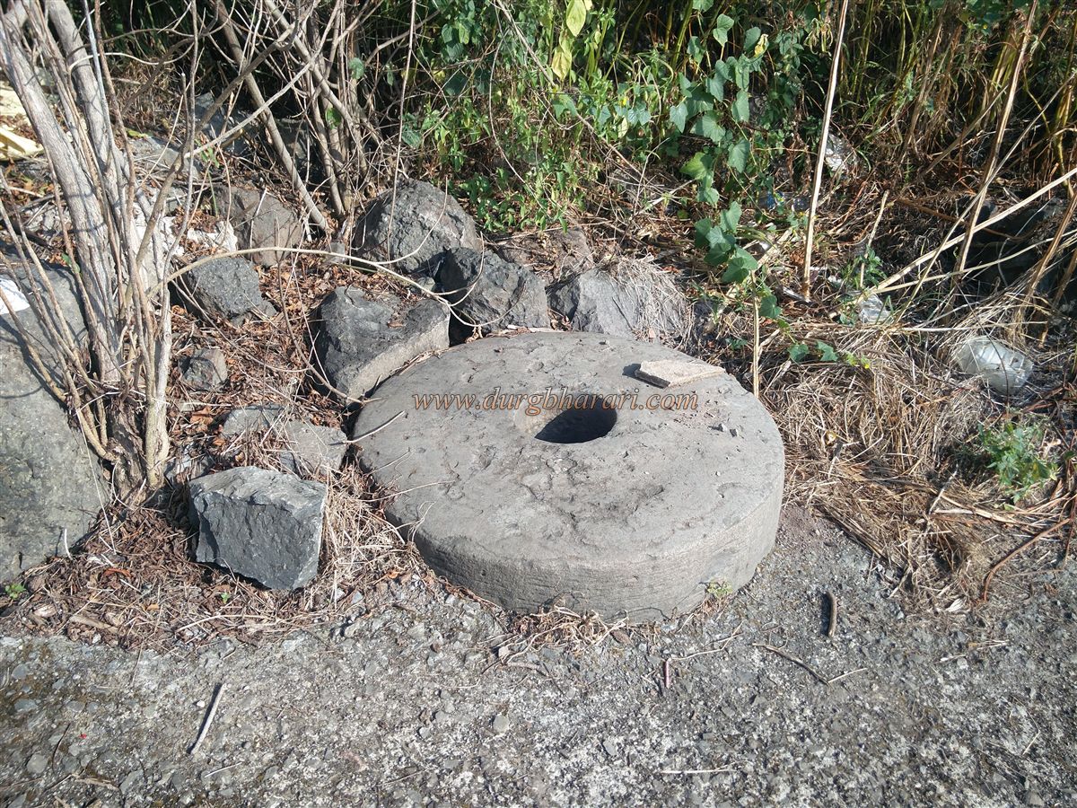
Ahead on the path stands an old structure called “Baman Ghar,” now roofed with metal sheets. Inside is a sacrificial altar (yajna-kund) and a Ganesh idol placed on an ornately carved platform. Beside Baman Ghar is the base of another old building. In its courtyard lies a lime mill wheel, though the grinder stone is missing. Opposite Baman Ghar, on the other side of the path, is a raised platform said to be the samadhi of Kalyan Swami, a disciple of Saint Ramdas, though there is no proof. Ahead is a moss-covered pond, stagnant due to lack of inflow. By the pond’s edge, on the base of an old structure, are newly built houses — one is an ashram for resident monks, while in front of the ashram, three rooms have been built as a guesthouse for devotees. Water from the cave is pumped into a tank here and used for drinking.
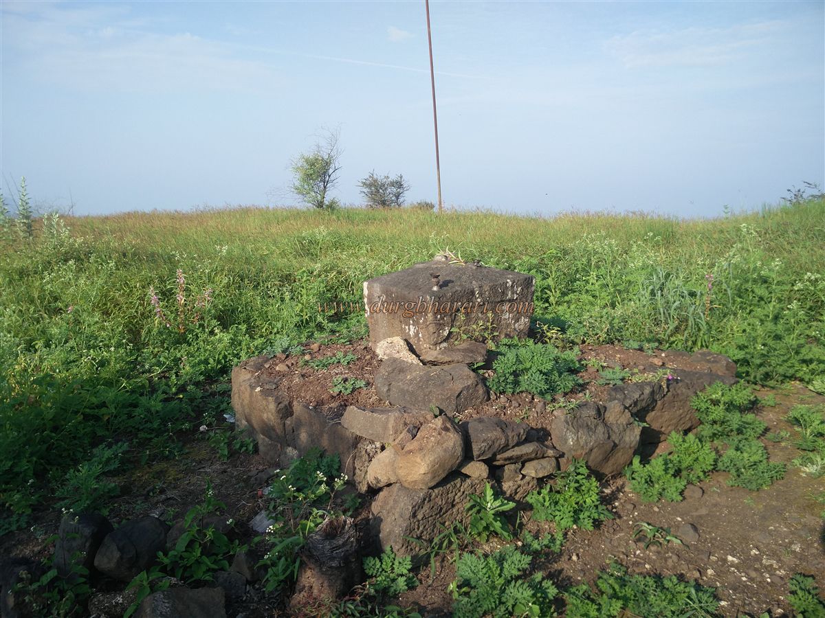
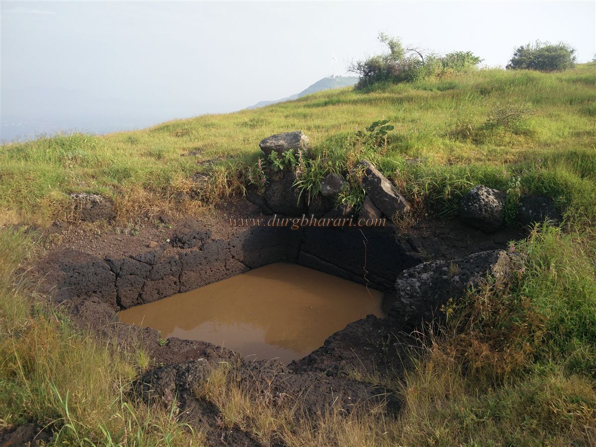
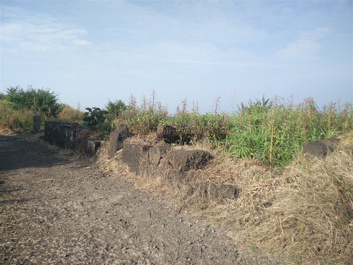
Behind the guesthouse is a large hall for events held on the fort, with a tin-roofed pavilion outside. About 50–60 people can stay here comfortably. On the nearby fort wall facing the cliff lies a stone with a carved sword. Continuing along the path to the southern tip of the fort, under a banyan tree, are the remains of four ruined walls enclosing the grave of a pir named Abdul Karim. Further ahead, on the left, is another platform with a carved shivling on a square stone slab. To the right lies a dry pond, followed by a rock-cut water cistern. Though it holds water, it is not potable. The southern end of the fort has a bastion, with a considerable length of fortification visible to its east. On other sides, the fort is protected naturally by steep cliffs, so walls were built only where necessary. Returning from the southern bastion to Baman Ghar completes the circuit of the fort.
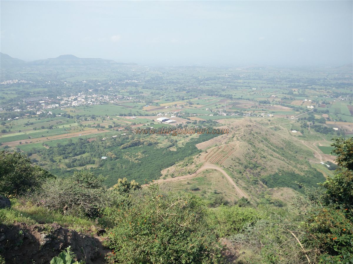
A complete round of the fort takes about 1.5 hours. From Nandgiri, one can see distant places like Jarandeshwar, Ajinkyatara, Yavateshwar, Chandan-Vandan, Vairatgad, Vardhangad, and the Yamai hill of Kinhai. The Shilahara dynasty of Kolhapur ruled Maharashtra between 940 CE and 1212 CE. The last king, Bhoj II, reigned from 1175 CE to 1212 CE. Historical records state that during his reign, 15 forts were built in Maharashtra. As per a copper plate inscription found in Satara, Bhoj II likely built this fort between 1178 CE and 1209 CE. Later, it fell under the Adilshahi. In 1673 CE, when Chhatrapati Shivaji Maharaj captured Parli, Satara, and surrounding regions, Nandgiri also became part of Swarajya. The name “Kalyangad” likely originated in Shivaji’s era.
After Shivaji’s time, the fort was under the Pant Pratinidhi, and later, Peshwa Bajirao II captured it. Nandgiri was the main administrative center of its Pargana. In Maratha rule, it was the headquarters of a taluka, housing the treasury and officials like the Mamledar, Phadnis, Sabnis, Havaldar, Daftardar, two clerks, three Naiks, and 160 soldiers. In 1791, British officer Major Prinse visited Nandgiri and, describing it in his book Memories of a Field Officer, remarked, “It looks like the hull of a ship of war!” In April 1818, General Pritzler captured the fort. Two cannons from here were moved during the 1857 uprising, but their whereabouts remain unknown. By 1862, records described the fort as deserted and in ruins. It is believed that the name “Kalyangad” came from the residence of Kalyan Swami, disciple of Samarth Ramdas, though no documentary proof exists.
© Suresh Nimbalkar
GALLERY