KALA KILLA
TYPE : COASTAL FORT
DISTRICT : MUMBAI
HEIGHT : 0
GRADE : EASY
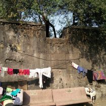
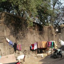
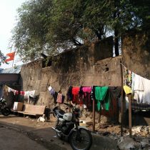
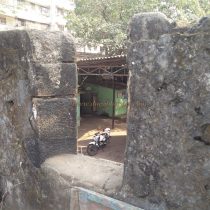
When Mumbai came under British control, they built forts at strategic locations to protect Mumbai. Among them, the fort built at Dharavi on Mithi River is known as kala fort by local people due to its construction in black stone. This fort is also known as Dharavi Fort as it is located in Dharavi area. Kala Fort is located west of Sion station of Central Railway. On the west side of Sion Station on the Sion-Bandra Link Road, Kala fort alley is on the right hand side near ONGC Building. At the end of this street is this fort. The Kala Fort is surrounded by slums on all sides as it is located in Dharavi area. Kala fort is ground fort and its shape is triangular. There are two triangular bastions in the shape of arrow shafts on the two sides of the fort. In the existing ruins, the first facade is a fort wall made of black stone and a stone inscription on it stating that the fort was built in the year 1737.
...
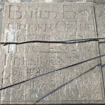
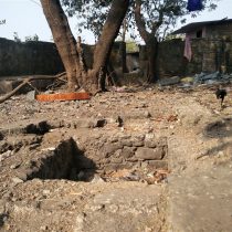
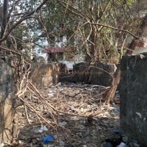
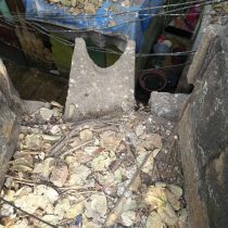
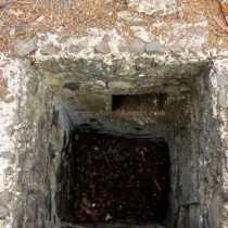
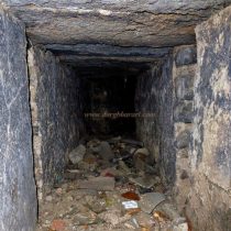
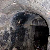
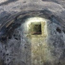
The inscription "Built By Order of the Honorable Horn Esq. President and Governor of Bombay in 1737" means that the fort was built by Honorable, President and Governor of Bombay in the year 1737. Below it is a signature with the name 'Engineer'. The peculiarity of the fort is that it does not have a door and one has to climb the 8 feet wall to enter the fort. The interior of the fort is full of garbage waste. To provide additional protection to the ramparts, steps are designed along the inner side. There is a small tank in the middle of the fort and this tank may have been used to store water. Inside this tank, a small underground door can be seen on the upper side. Entering this way, this winding path leads us to a small room. This must have been a warehouse for storing ammunition. In this last room of the subway, a small windowless structure is visible in the wall to allow air in. This is the place where the fort is rumored to have a tunnel leading to the fort of Sion. Kala fort was used by the British mostly to store ammunition. The fortifications and gun emplacements of the fort are still intact. Remains of the entrance, staircase and other things can be seen in it. A latrine can be seen on the outer side of the fort near the ramparts. At the time of the fort's construction, Mithi River used to flow nearby, but now, the river bed has moved behind and the Kala Fort has moved away from the river. The fort was mainly used to watch over the Portuguese strongholds and Mithi River. The north side of Bombay Island was strengthened in terms of defense due to the four forts in a row namely Mahim Fort, Kala Fort, Riva Fort and Sion Fort. At that time the British were in possession of the region from Mahim to Sion on the south bank of the Mithi river, while the region beyond the north bank of the Mithi River i.e. Vasai, Diu, Daman etc. from Bandra onwards were under the Portuguese. In the Vasai campaign in 1737, the Marathas captured the Portuguese-held area north of the Mahim Gulf, and the British were terrified of the Marathas' armed strength. As a precautionary measure between Mahim and Sion, the Governor of Bombay, Gerald Ongier, built the Kala Fort on the banks of the Mithi River in AD 1737 to protect the British, from Bombay, which extended to the banks of the Mithi. In a sense, the Kala fort is a symbol of the Marathas' strength and frightened British.
© Suresh Nimbalkar

