KAILASGAD
TYPE : HILL FORT
DISTRICT : PUNE
HEIGHT : 3330 FEET
GRADE : MEDIUM
The Sahyadri range extending from the border of Pune and Raigad districts is always appealing to the trekkers. From this part of the Sahyadri, many wharves can be seen descending to the Konkan. There are three wharves from ancient times to reach the Lonavla-Khandala area from Pali village in Konkan. Goods unloaded at Konkan ports were brought to the markets through these wharves. A chain of forts was built from the port to the market to protect this route. Sudhagad, Sarasgad, and Mriggad were built below the wharves while Ghangad, Telbaila, Kailashgad, and Koraigad were built above on the wharves. Kailashgad is one of these unfamiliar forts located in the vicinity of Mulshi dam. Apart from the common people, most of the trekkers do not even know about this fort. Considering the location, size, and remains of the fort, it must have been a watchtower.
...
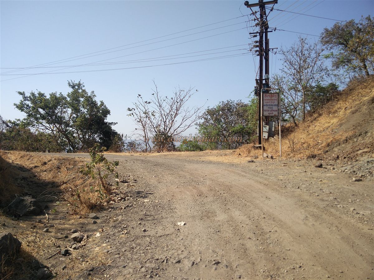
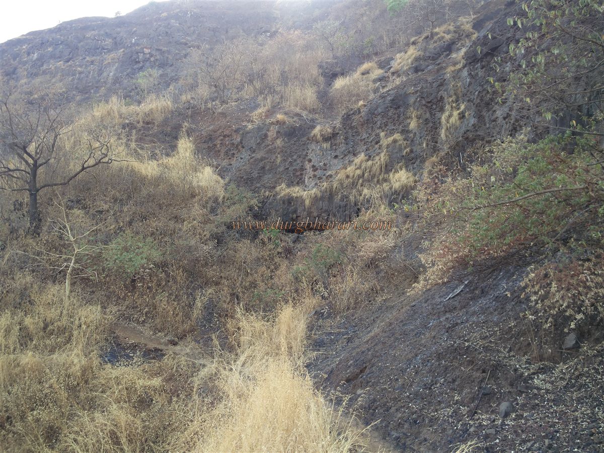
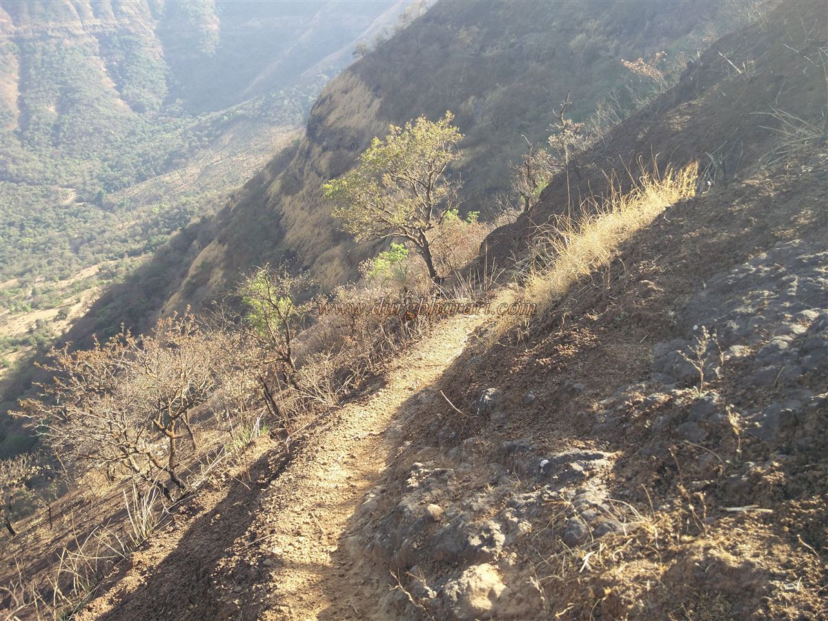
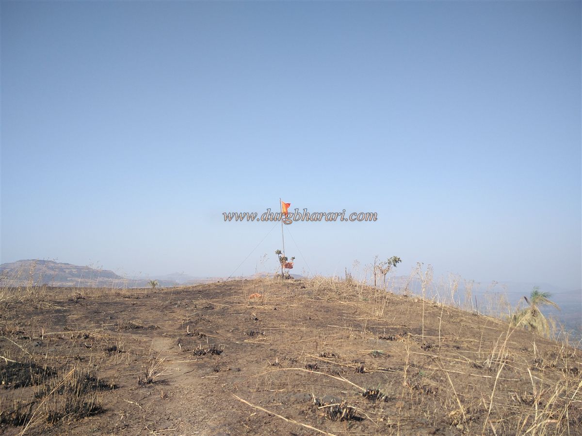
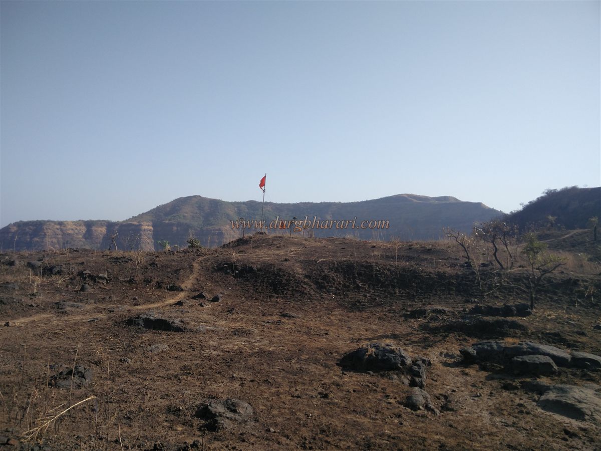
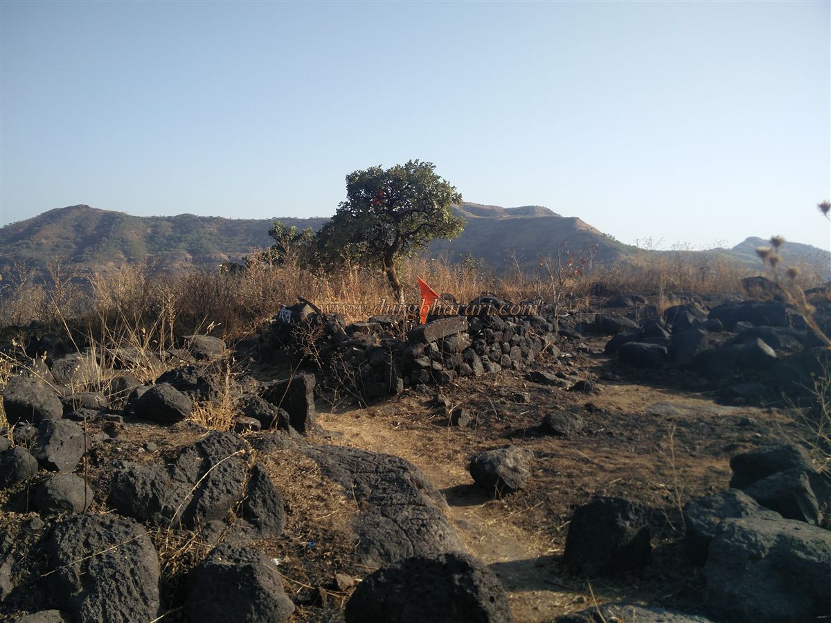
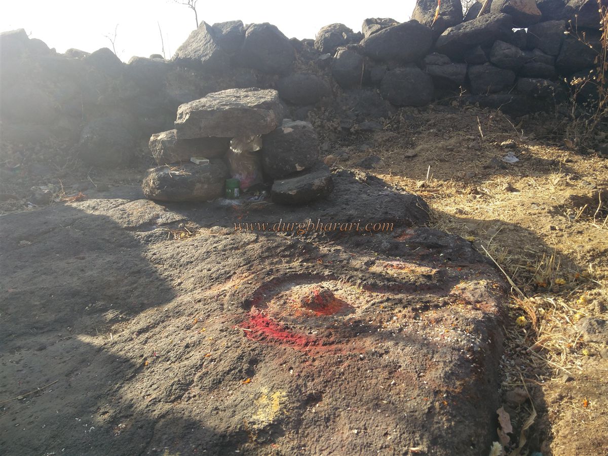
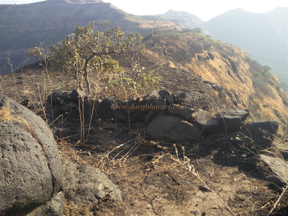
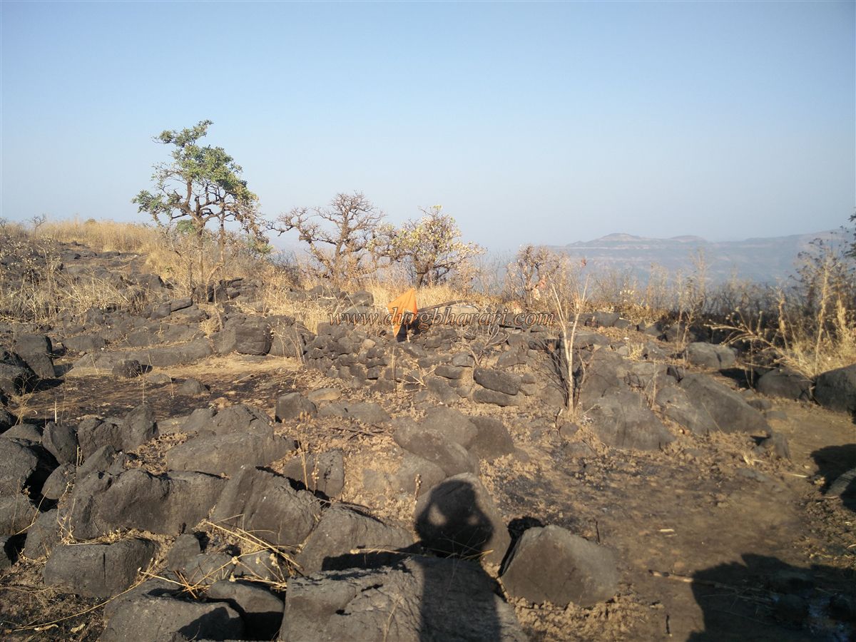
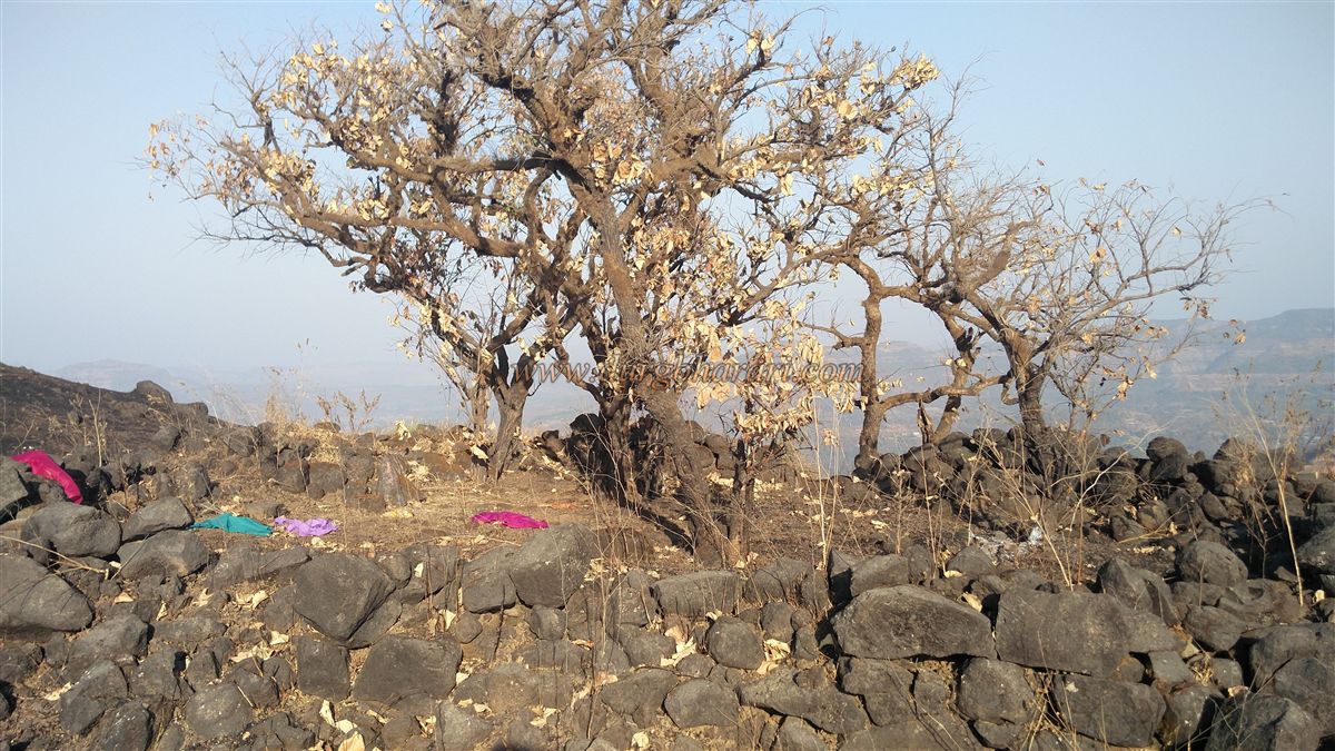
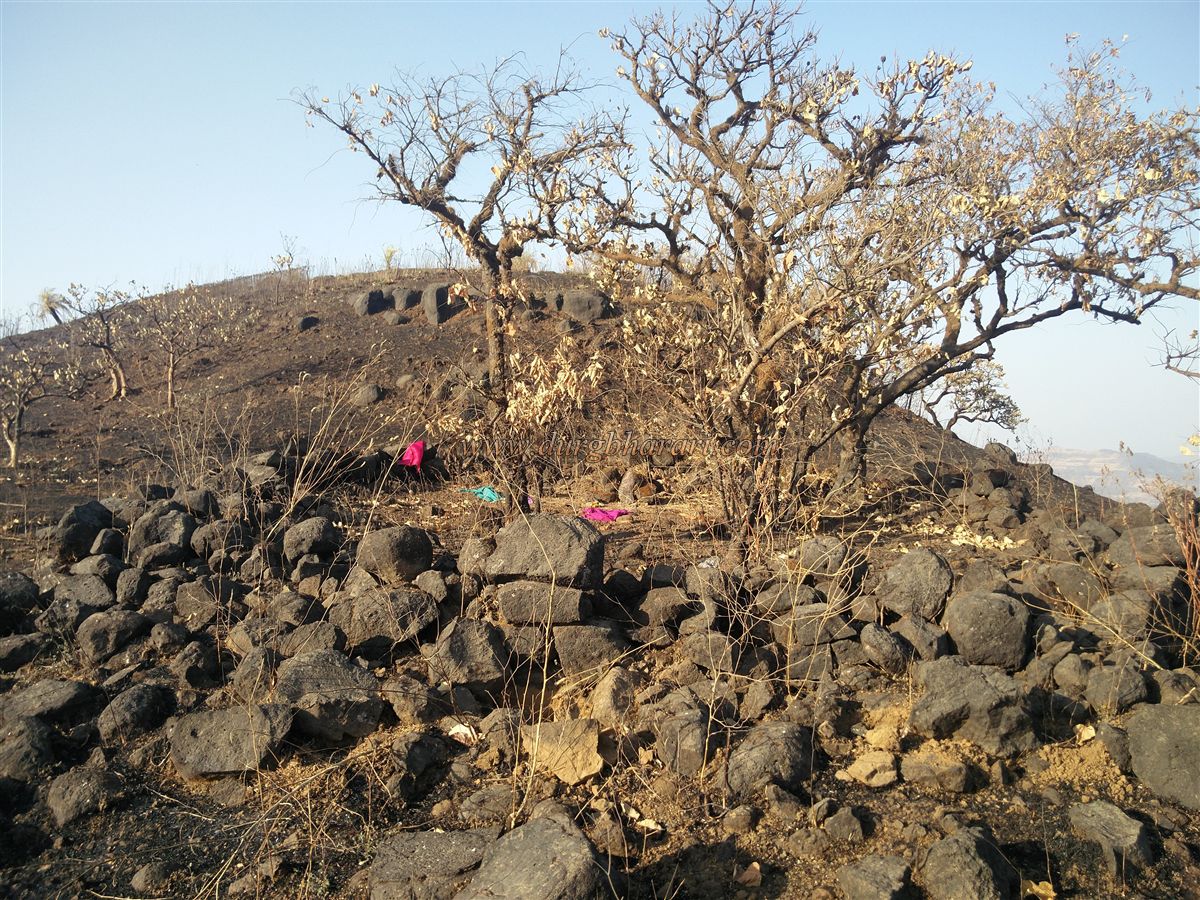
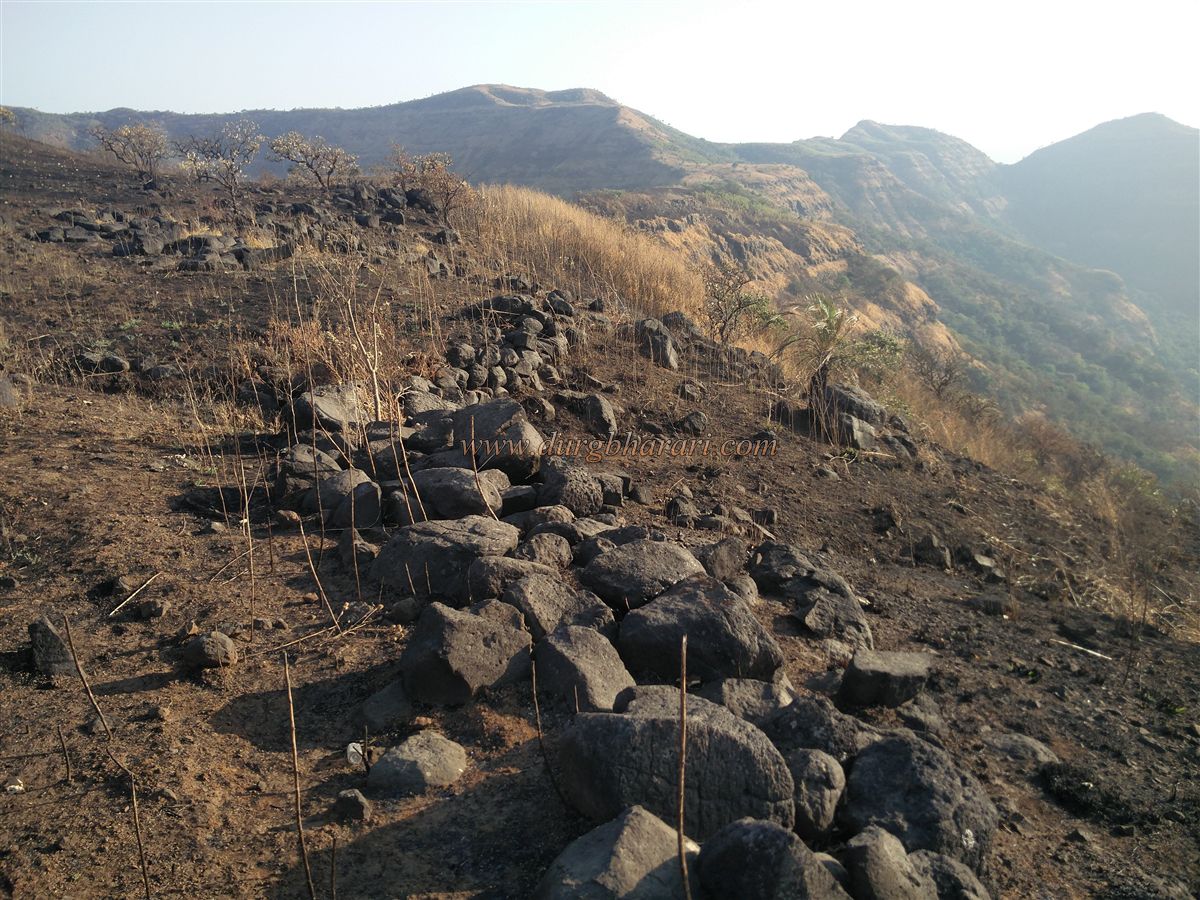
Vaduste is a village at the base of the fort which is 51 km by Lonavala Mulshi Dam-Korigad-Bhambarde-Ahirwadi-Pimpri Fata-Vandre Marg. It is better to go by private vehicle as there is not much traffic on this route. On this road, two kilometers from Vaduste village, there is a ravine of Kailash fort. There is a plaque at this place displaying the name of Kailashgad aka Ghodmanjari hill. Here on the right side is the hill of Kailashgad. The small hill on the left has an overhead water Tank. This part of the fort, which had a hill trunk, is divided by a ravine dug for the road and is divided into a small hill on the left and a fort on the right. The path to reach the fort is steep and the chances of getting lost are low. In some places on the road, arrow marks are pointing the way to the fort. As soon as we start climbing the fort, we reach a gorge in 15 minutes. This was the first stage. Looking back from here, you can see the Mulshi reservoir spread on all three sides. The next hill here is joint to the hill of the fort. Keeping this hill to the right and the valley to the left, we reach the top of the hill in 30 minutes. This is where our second phase ends. At the end of the hill, there is a steep slope down the hill of the fort. After crossing one hill stage and passing two more stages, the fort starts to turn to the right and takes a detour without going up the next path. In some places, this path goes straight while in some places it takes a steep climb. Due to the deep ravine on one side, the edge of the mountain on the other side, and slippery soil on the ground, this path is tiring and dangerous for new trekkers. We reach the plateau of the fort in an hour by taking a detour around the hill of the fort. The saffron flag is hoisted on the right side of the plateau. Next to it is a small rainwater harvesting pond. From this point, one can see the randomly spread Mulshi reservoir, the dam wall, and the green area around it, while on the left one can see the distant region of Ghangad and Tailbaila. On the opposite side of the plateau is a small hill. Before descending it, one sees a descending footpath on the left. Currently, this road is very dangerous and it is not possible to go through this road without mountaineering equipment. After descending this difficult path for 5 minutes, you can see the water cisterns in the caves carved into the walls of the fort. This is a partially excavated cave, which seems to have been filled with water. The history of the fort dates back to Shivaji Maharaj’s era. As this cistern is not in use, its water is not drinkable. When you come back to the plateau after seeing the cistern, you will see a ruined structure on the right side. There should be a temple of the goddess here as the locals still keep the things offered to the goddess here. Here you can see some quadrangle structures of houses in front. We reach this place in about an hour and a half from the foothills. From here, on the right side, there is a path to go to the top of the fort. There are no remains on the top but from here the entire fort and its surroundings can be seen. As the fort has been neglected, to the west, there are heaps of remains of structures. The ramparts and bastions of the fort are nowhere to be seen. Going down from the top of the fort to the next end of the fort, you can see a stone wall of 2 to 3 feet on the left side. Inside this wall, there is a Shivling carved on the rock. The hill of the fort is joined with the hill another hill adjacent to it and at the top of this intersection of the hills, there is a stone rampart. The major settlement of the fort should be here as some remains of structures can be seen here. This is where your fort round ends. Half an hour is enough to walk around the entire fort. From here, there is a way to get down to the village of Bhadsakonda. After descending this road, we reach the gorge in 10 minutes by a paved road. The history of Kailashgad is not available. Looking at the cisterns in the fort, it seems that this fort must have existed since before Shivaji Maharaj’s era. Historical documents mention this fort during the time of Tararani. It is found in a letter written by Secretary Shankaraji Narayan to Hanamantrao Phatak in 1706. In this letter, it is written to him that: Hanamantrao Phatak Half Hazari Yasi Shankaraji Narayan Secretary ... You captured the former Fort Kailashgad and Fort Sinhagad from the enemy. If you capture it again, it will remain with you as it was with you before. From this is clear that before 1706, Hanamantrao Phatak conquered Kailashgad. The history of the creation of Swarajya, which is the pride of Maharashtra, took place on such a fort. These forts, which used to be glorious, are crumbling day by day. Trekkers should visit this fort at least once. However, on rainy days, one should visit this fort with the utmost care or should be avoided.
© Suresh Nimbalkar
GALLERY