HOOLI
TYPE : HILL FORT
DISTRICT : BELGAON
HEIGHT : 2430 FEET
GRADE : EASY
Huli village in Belgaum district is regarded as one of the most ancient settlements in the region. Locals identify it with the ancient city of Mahishpati Nagar. Known as the “village of 101 temples,” Huli still preserves 11 ancient shrines near a lake on its outskirts — Panchalingeshwar, Trikuteshwar, Andhakeshwar, Bhavanishankar, Kalameshwar, Kashi Vishwanath, Madaneshwar, Suryanarayan, Tarkeshwar, Sangameshwar, among others.
Huli village lies nestled between two hills, and a stream flowing through the valley between them was dammed to create a reservoir to meet the water needs of this ancient settlement. To protect this settlement, a fort was constructed on one of the hills behind the village.
This fort is located in Saundatti taluka, 10 km from the taluka headquarters, 98 km from Belgaum city, and 47 km from Dharwad. Mentions of Huli in a few historical accounts hint at the presence of a fort on a hill behind the village, but these references are vague and often confusing.
...
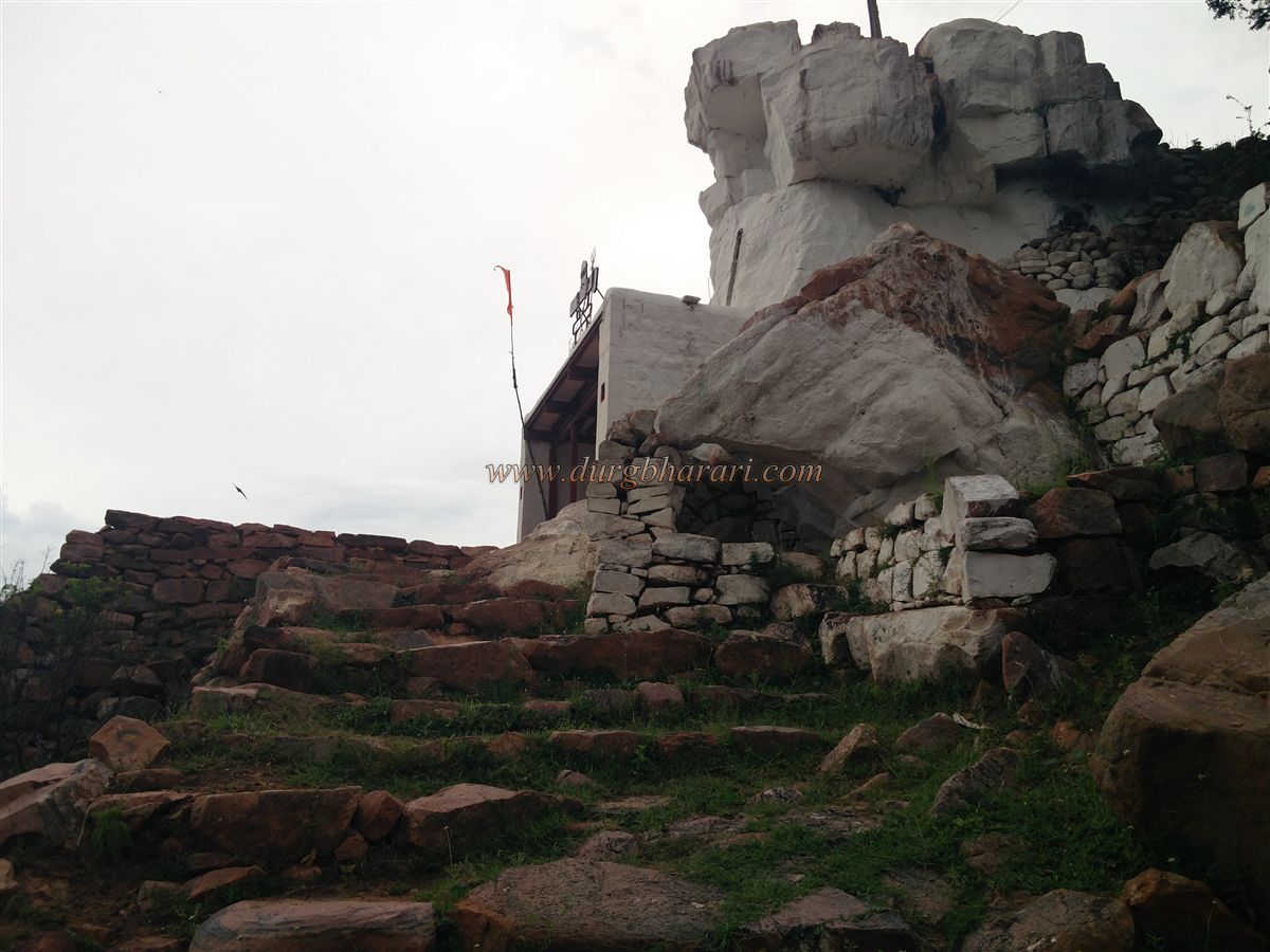
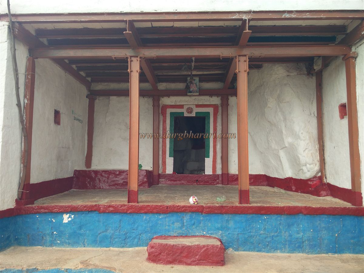
In fact, there are two distinct forts on the two hills behind the village. Of these, the fort on the right-hand hill is the one commonly referenced, while the fort on the left-hand hill remains largely unmentioned in any records. Approaching Huli from Saundatti, the left-hand hill catches attention with a massive whitewashed rock face visible from a distance. Believing this to be part of a fort, we turned toward this hill, only to discover that the whitewashed rock houses a cave temple of Siddheshwar.
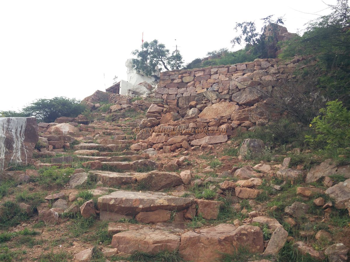
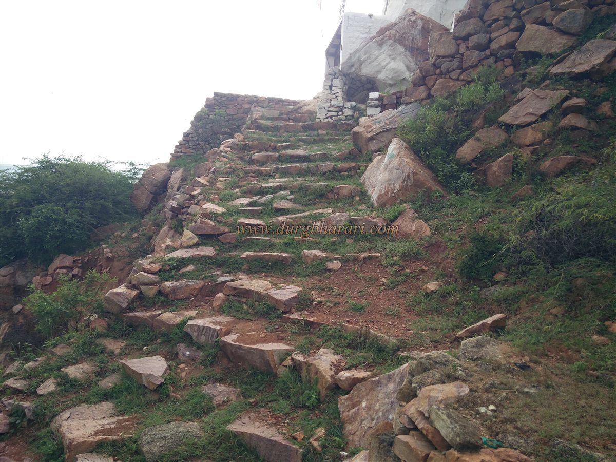
Locals have constructed a rough road from the settlement at the base to this temple, which can be reached by a jeep during the dry season. A footpath from the village also leads up to the temple, and it takes about half an hour on foot from the base to reach it.
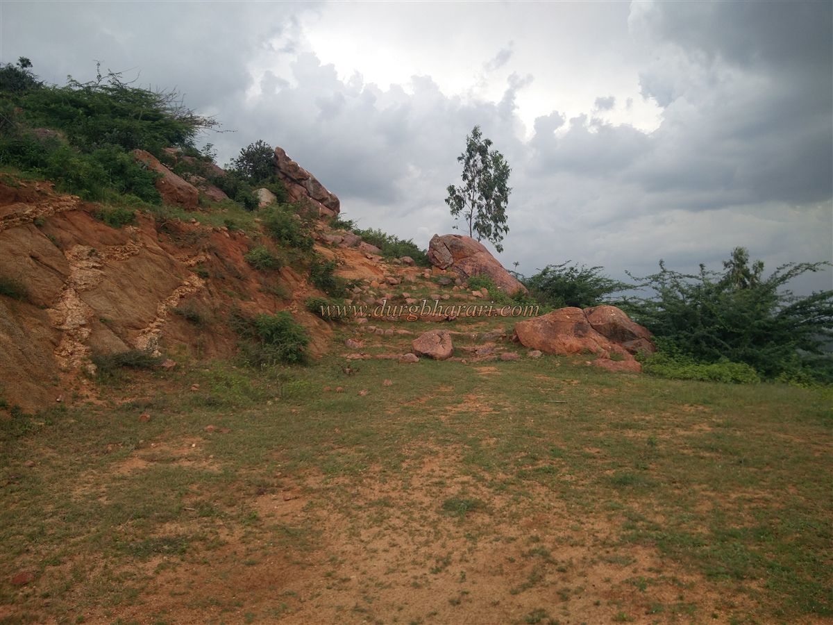
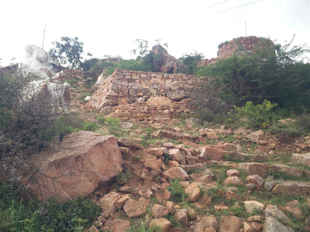
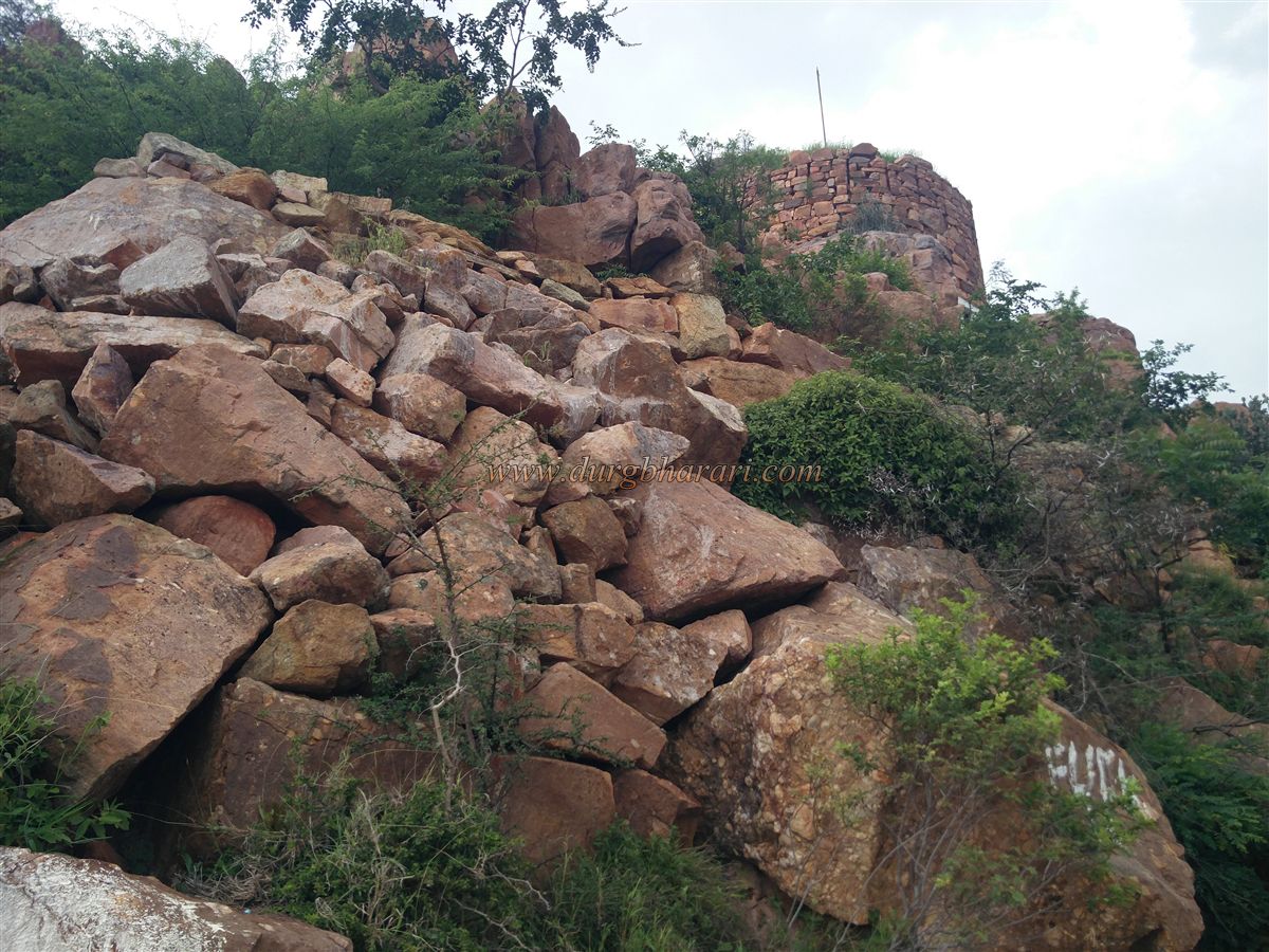
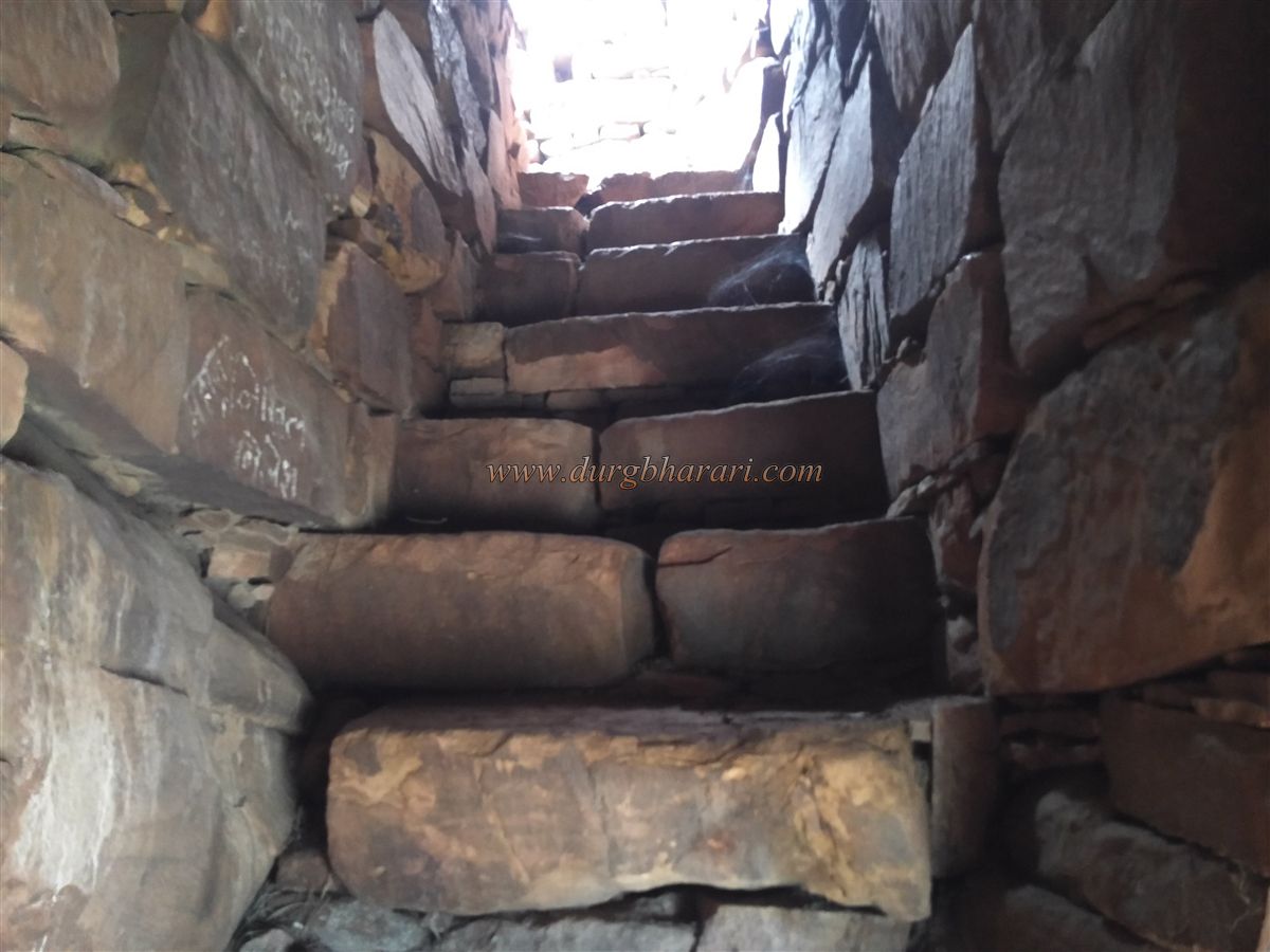
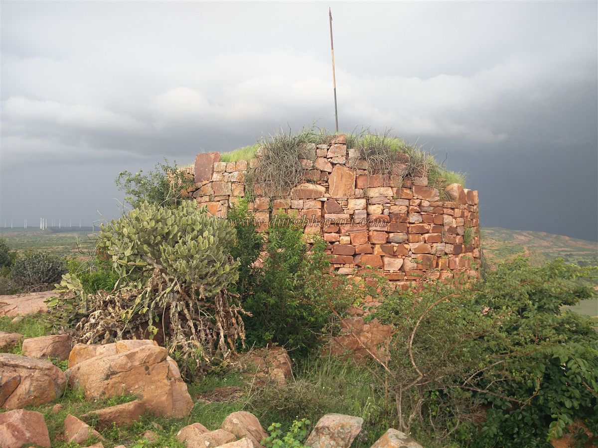
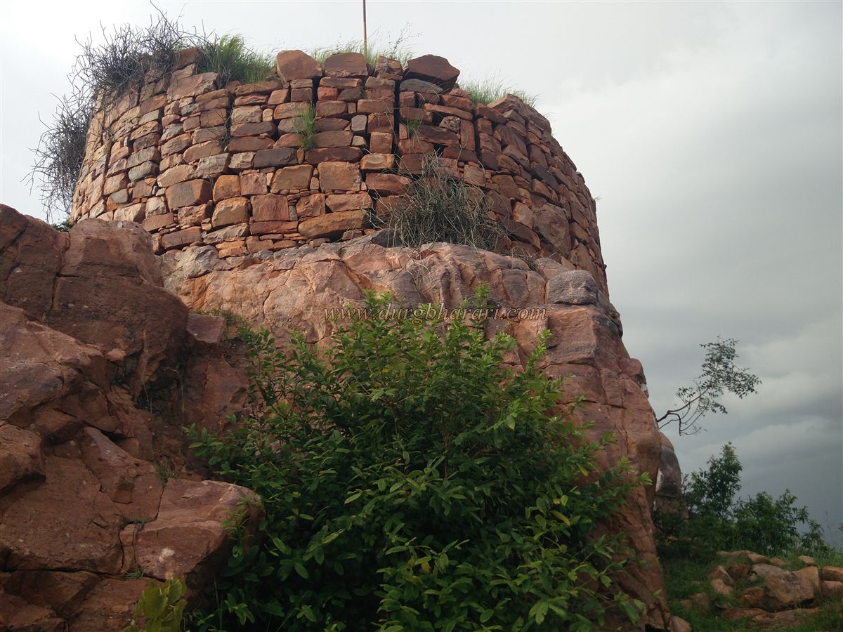
From the vehicle drop-off point, the ruins of the fort start coming into view. Steps have been constructed for the climb. Along this stepped path, on the left side, is a roughly carved rock-cut cave housing a Shivaling. Climbing a little higher, on the right side, stands a well-preserved bastion built of dressed stone. A small doorway in the bastion leads inside, where stairs give access to its upper level. From this bastion, the ruins of another bastion and the inner fort area are visible.
This roughly square-shaped fort spreads over about 4 acres at an elevation of 2,420 feet above sea level. The fort is overgrown with thorny vegetation, making exploration difficult. Apart from a few rock-cut cisterns, a well choked with shrubs, and fragments of crumbling fort walls, there are few remaining structures. A complete circuit of the fort takes about half an hour.
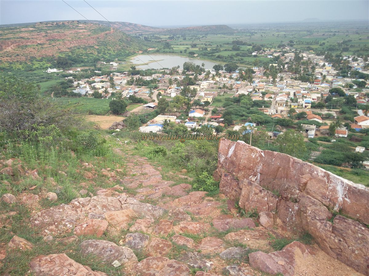
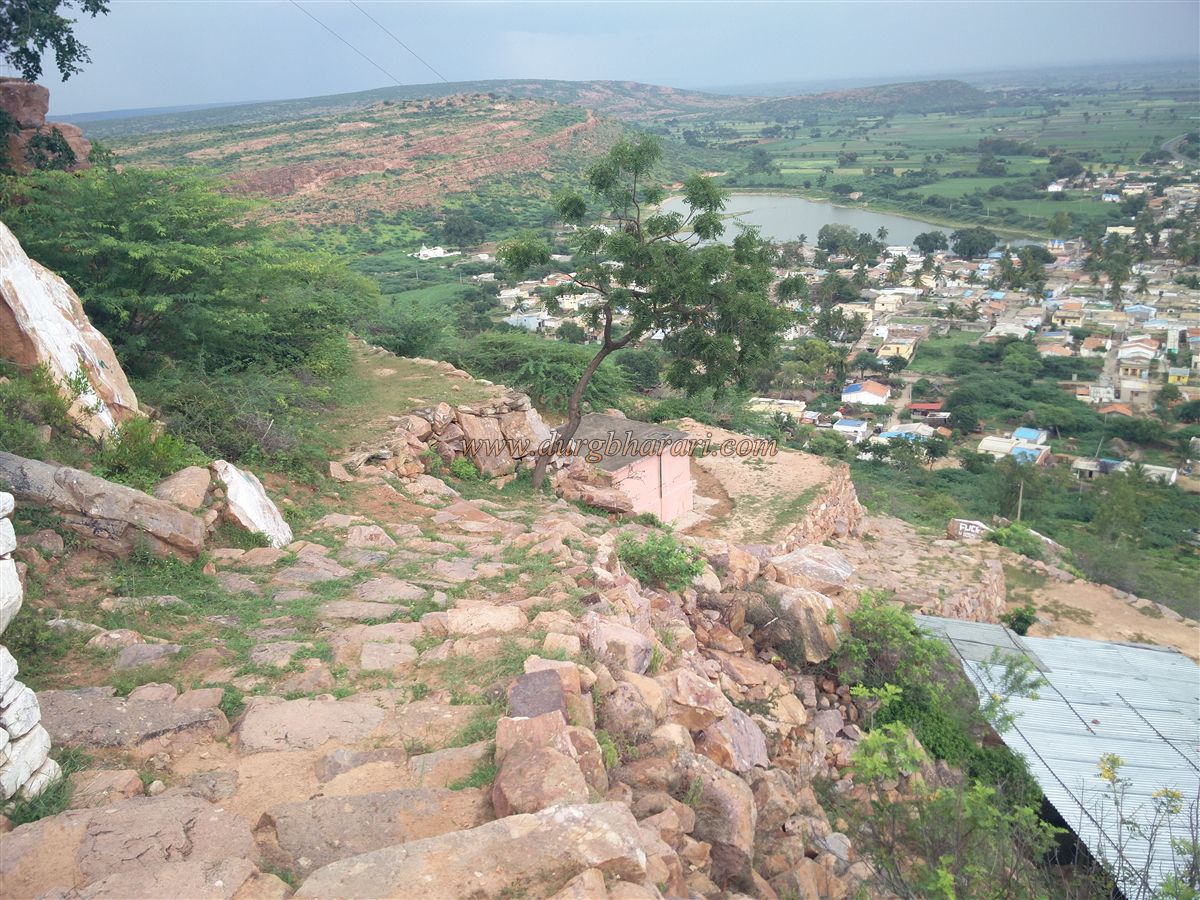
The summit offers sweeping views of Huli village, the lake outside it, the temples on its banks, and the surrounding countryside. From here, the second fort on the opposite hill is also visible, though its heavily collapsed walls make it difficult to identify as a fort.
The Chalukya-era temples in Huli indicate its ancient past. The region saw the rule of the Rashtrakut, Chalukya, Kadambas, and later the Adilshahi. In 1680, when Chhatrapati Shivaji Maharaj annexed the Dharwad region to Swarajya, this area came under Maratha control. It is likely that the forts here were repaired when Maharaj constructed the fort at nearby Nargund.
Later, the area passed into Mughal hands, followed by the Karvirkar Bhosle. In 1747, observing that Fattesing Bhonsle had little influence here, Sadashivrao Bhau led a campaign along with Sakharam Bapu and Mahadaji Pant Purandare, capturing Kittur, Gokak, Parasgad, Badami, Bagalkot, Toragal, Haliyal, Nargund, Yadwad, Basavapatna, and 35 other Pargana, bringing the local Desai under Maratha authority.
During the tenure of Peshwa Madhavrao I, this region came under the Patwardhan. Even today, many families in the village bear Marathi surnames. After the fall of the Maratha power, the local Desai accepted British suzerainty.
© Suresh Nimbalkar
GALLERY