GUMTARA
TYPE : HILL FORT
DISTRICT : PALGHAR
HEIGHT : 1905 FEET
GRADE : MEDIUM
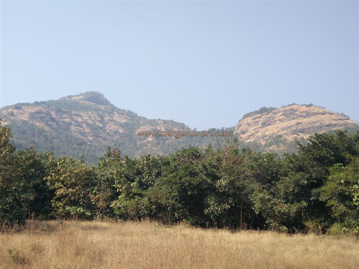
Due to Mumbai, the Konkan province is divided into North Konkan and South Konkan. The Vasai to Daman belt is known as North Konkan and the Alibag to Karwar belt is known as South Konkan. In the North Konkan, which is blessed with natural beauty and is near Mumbai, you can see all kinds of forts like water fort, hill fort, forest fort, and landfort. Some of these forts are easily accessible while some forts have to be searched for. In Bhiwandi taluka of Thane district, Ghotawada fort is known by various names like Gumtara, Gotara, Dugad and is a remote fort. Despite being very close to Mumbai Thane, this fort near Mohali and Dugad villages on Bhiwandi-Wada road are still unfamiliar to many trekkers. Although the fort is densely forested on all four sides, it is not difficult to climb, but as there are many paths en-route to the fort, it adds up to the inaccessibility of the fort.
...
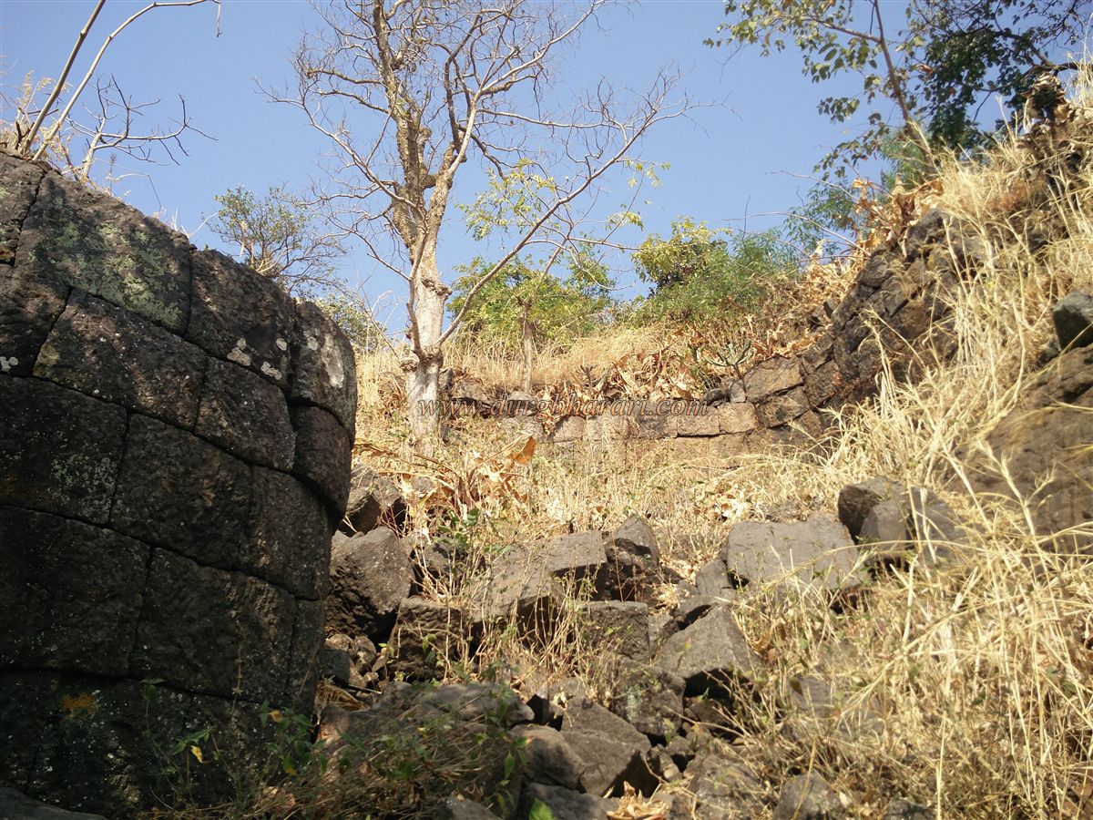
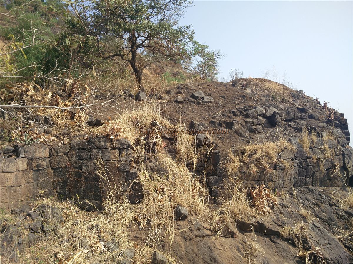
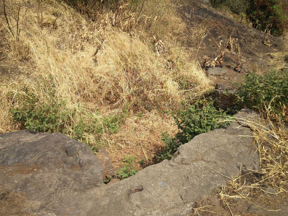
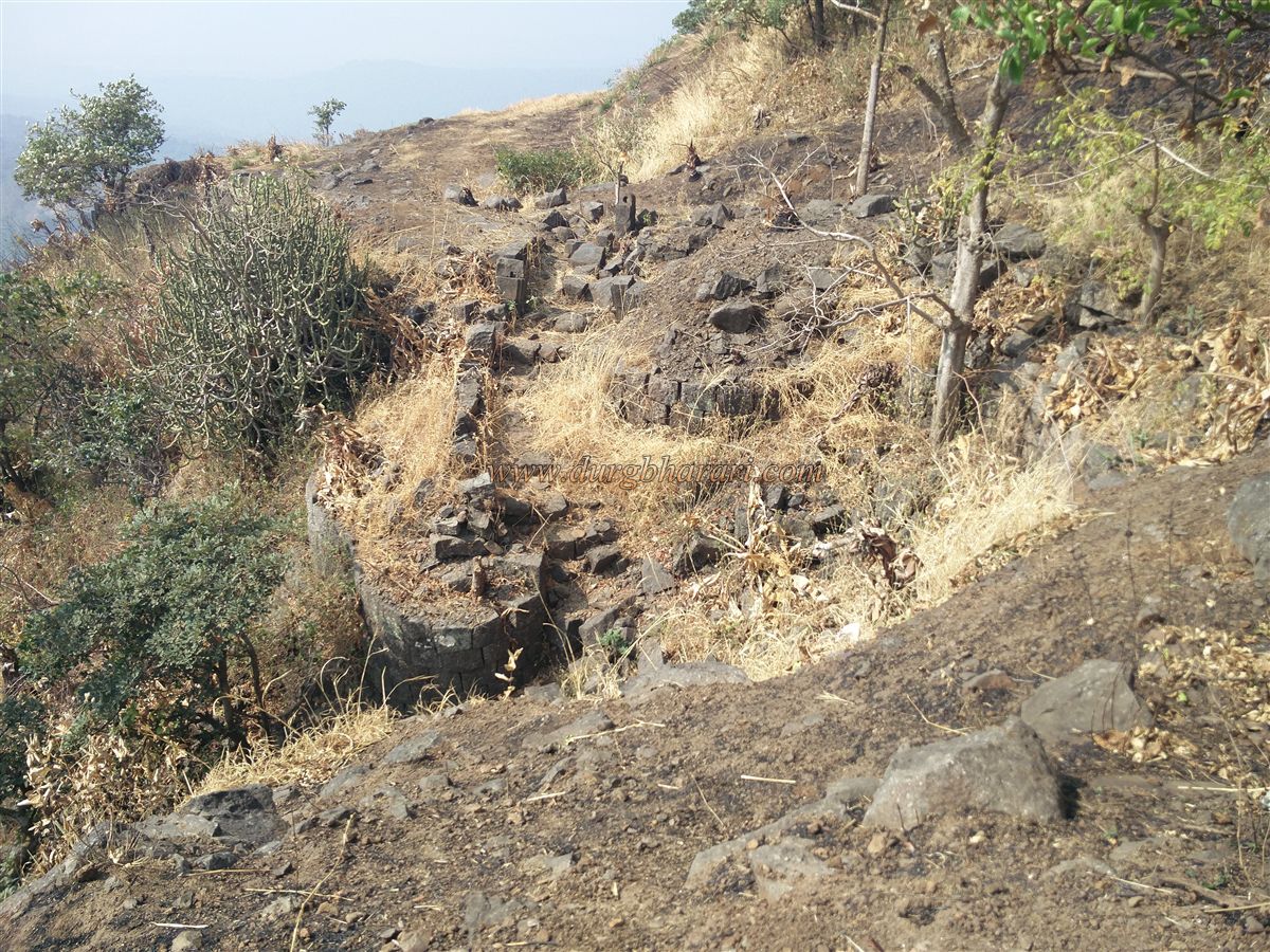
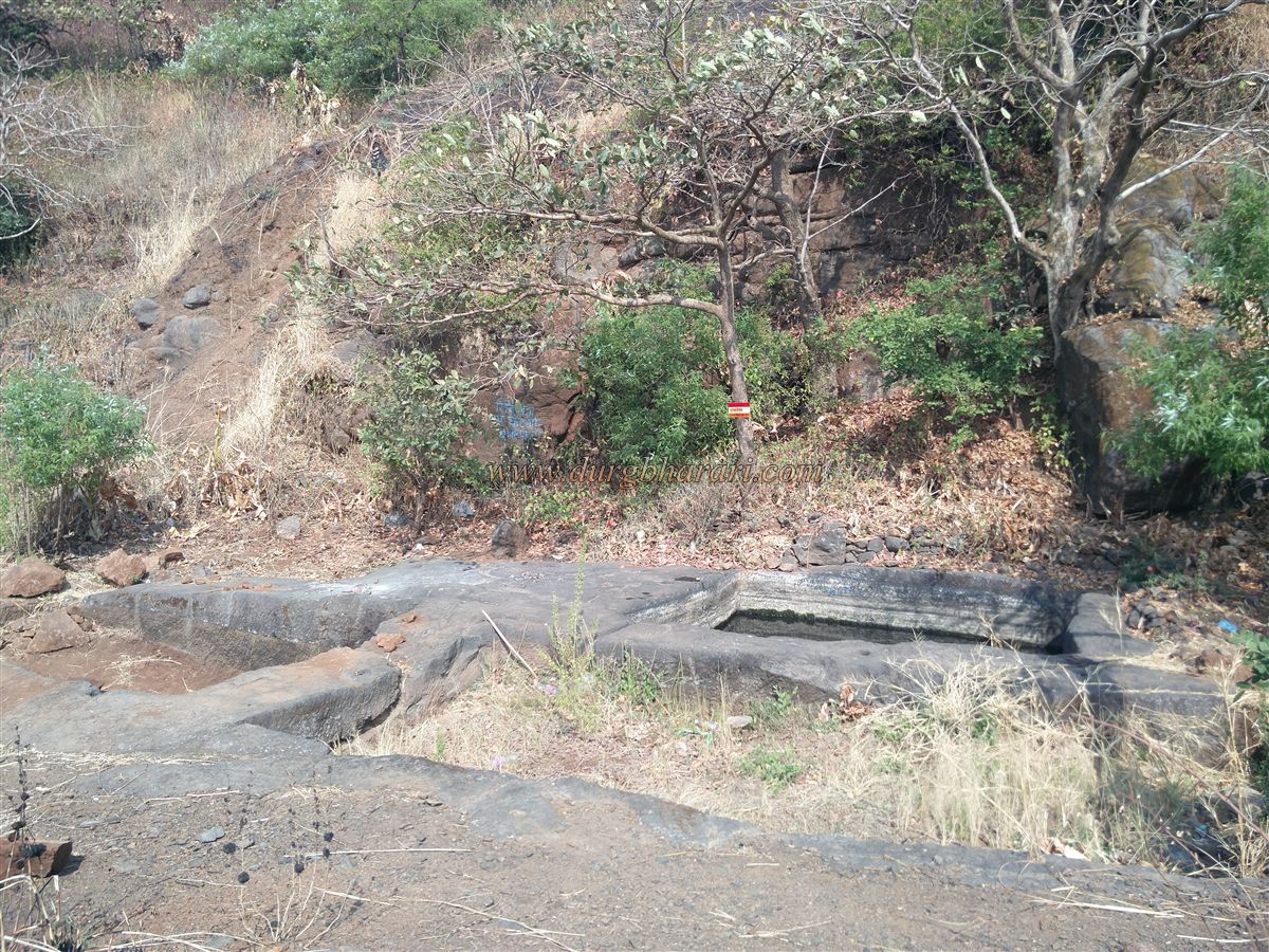
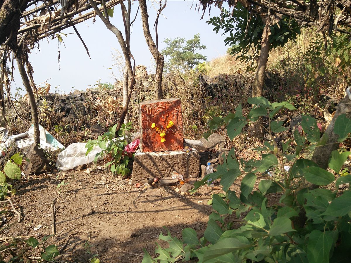
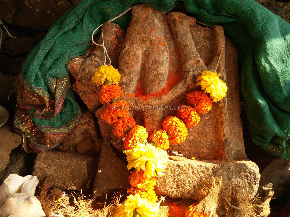
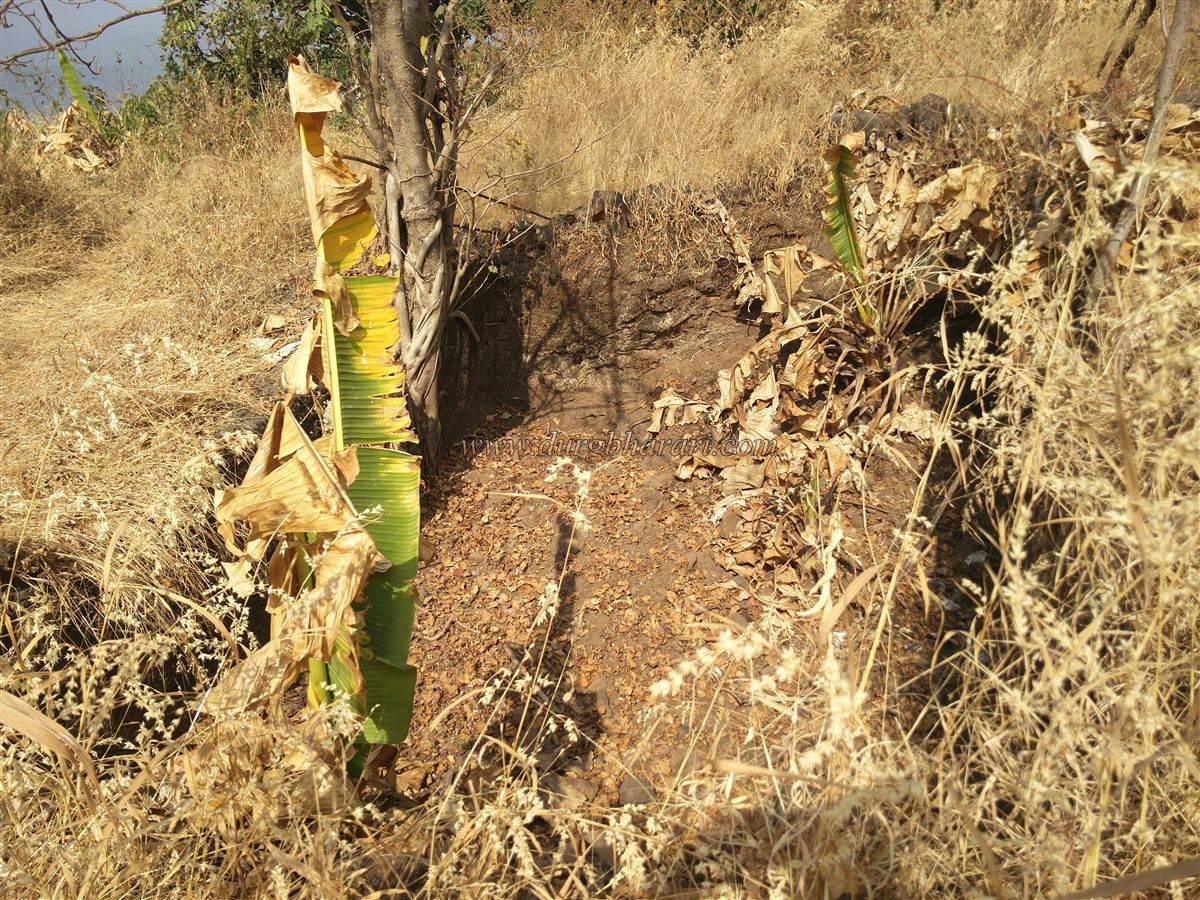
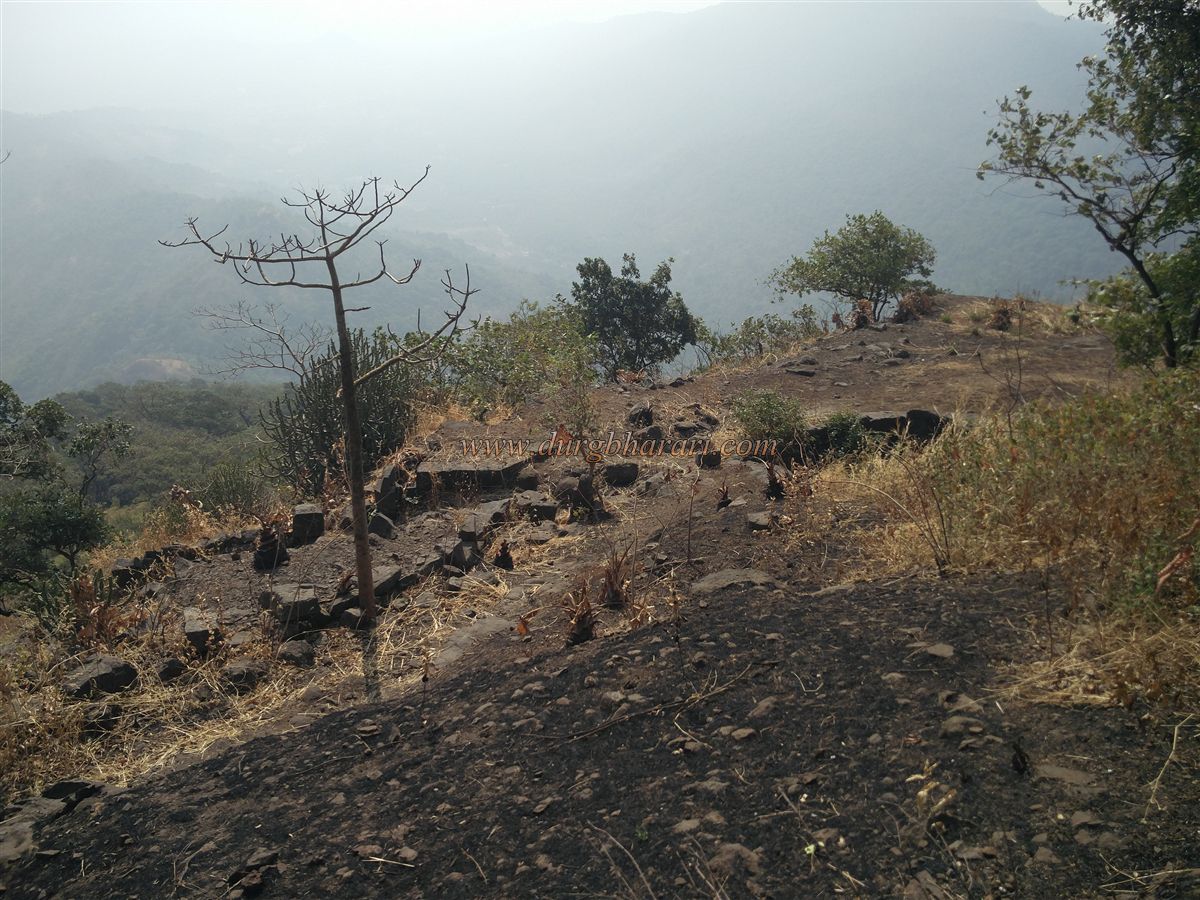
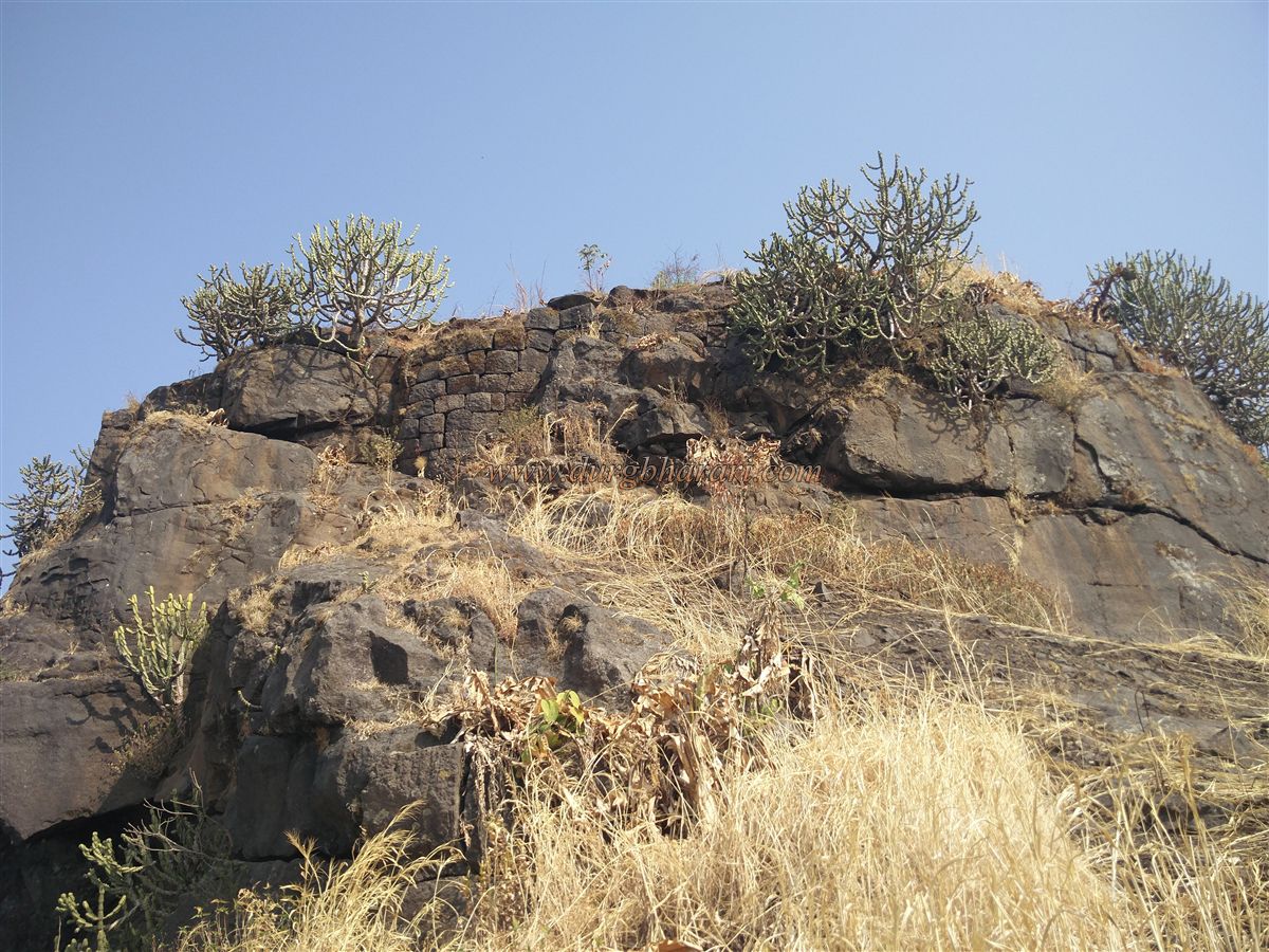
Although there are many ways to reach the fort from the village around the fort, Mohali is the easiest and most convenient way to reach the fort from the village. It is more convenient to take this route to make your trek easier. To see the Gumtara fort, you have to reach Mohali, the village at the foothills of the fort. The distance from Dugadphata on Bhiwandi Wada Road is 18 km and the distance from Dugadphata to Mohali is 4 km. If you don’t have your vehicle with you, the distance from Dugad fork to Mohali has to be covered on foot. Apart from this, Vajreshwari is 10 km from here and can be reached by rickshaw from Mohali village. From the village, we see two big hills behind the village and another small one next to it. There are two ways to reach the fort from Mohali village, one of which leads to the fort from the neighboring small hill and the other way goes up to the fort from a hill trunk. The first route is simple but takes a little longer while the second route consumes less time but is steep. Both of these routes bring you under the gates of the fort in two hours. Although both these paths are easy, it is necessary to take a guide with you to reach the fort as the road is covered with trees and grass and there are forks on this path. If you take up the wrong path, there is a strong possibility of you getting lost in the forest. When you come to the area below the gate, you can see the ramparts at the far end and the two bastions in it. Since the rest of the fort is on the cliffside, there may not have been a need for ramparts elsewhere. Our journey to the door is through the way of the gorge. There should have been steps over here previously, but as of now, they are destroyed. After 10 minutes from the gorge, you can see the ramparts of the fort in front of you. On the inside of the ramparts, you can see a winding but ruined gate facing west. Only the lower frame of this door remains today, and in the inside are some carved stones. This stone shows the stone hinges used to attach the door. In front of the door, there is a cistern extinguished with mud carved in the rock, and next to it there is another cistern for rainwater harvesting. In this area, there is a collapsed rampart of the fort and another bastion can be seen at the end of this rampart. Here you can see the quadrangle structure of two buildings in the flat area. The trunk of the fort at the bottom is separated from the fort by a notch. After descending from this gorge and turning west towards the fort, one can see a spring of water in a rocky place. This is the only drinking source of water available on the fort and it is available throughout the year. Return from here to the door. To the right of the door are seven water cisterns carved in the rock, one of which is filled with water and the other six with soil. The path leading to the cistern leads to the flagpoles at the top of the fort. In this place, we get to see four more structures. Turning back from here and coming back to the group of cisterns, one can see a path entering the trees in front. While walking along this path, you get to see the quadrangle structure of a mansion. There is an idol on this structure of the mansion. Going further from here, one can see another cistern carved in the rock on the way. On the edge of this cistern is a broken carved idol. When you come to the door after seeing the cisterns, your fort round is complete. Tungareshwar forest, Bhiwandi area as well as Kamandurg, Takmak, and Asherigad forts can be seen from the top of this fort. Considering the overall size of the fort and the water facilities on the fort, it seems that the fort must have been used only for surveillance. The villages of Ghotwad, Dugad, Bhiwali, Pirachi Wadi, Tilher Gaon, Mohali Gaon, and Vedhe Wadi, which are mentioned in the Peshwa Daftar, bear witness to the history of this fort. Although it is not known exactly when the Gumtara fort was built, the first mention of this fort is in 1689. After the arrest of Sambhaji Maharaj in 1689, Matbarkhan, the Subhedar of Nashik, marched on Mahuli and captured Mahuli, Bhiwandi, Dugad (Gumtara), Malanggad, and Kalyan. However, after that, the fort must have been abandoned. Another mention of this fort is in the Vasai expedition. According to the records of the Peshwa Daftar, Gangaji Naik's army was encamped in the forest of Mahuli while on his way to Vasai. On Thursday, March 24, 1737, the group left the forest, and on March 25, 1737, they stopped at the forest below Ghotwa fort. They spent the whole day in the forest. Two or four members of the group died due to a lack of water during those summer days. In the year 1780, between 8th and 12th December, Maratha Sardar Ramchandra Ganesh marched on the British with an army of twenty thousand. In a battle between Ramchand Ganesh and the British Colonel Hartley, Ramchandra Ganesh Hari was killed and the Marathas were defeated. Many British soldiers were killed in the battle. Sigier Noronha, a Portuguese officer helping the Marathas, was also seriously injured.
© Suresh Nimbalkar
GALLERY