GOKAK
TYPE : HILL FORT
DISTRICT : BELGAON
HEIGHT : 2360 FEET
GRADE : MEDIUM
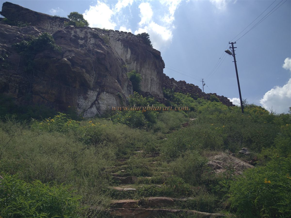
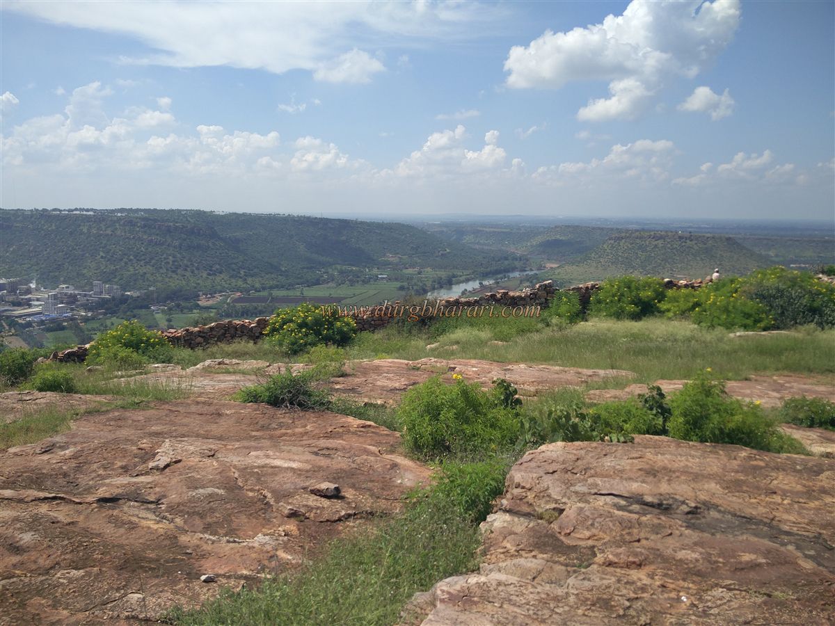
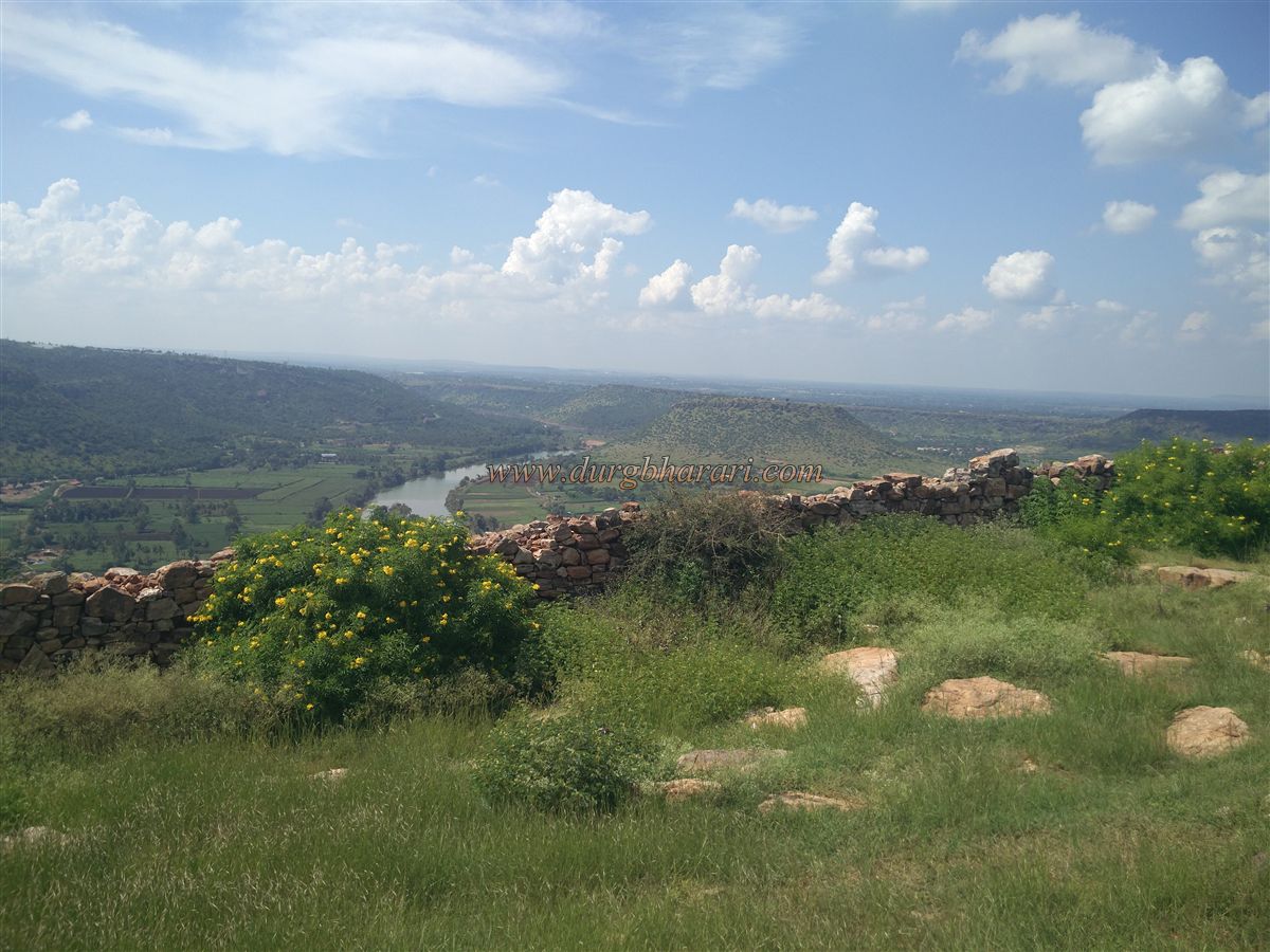
The city of Gokak is famous all over India for its waterfall known as Mini Niagara in Belgaon district. This Marathi province, which was once under Swarajya, was annexed to the state of Karnataka during the linguistic transformation. Gokak headquarter of taluka is the second-largest city in the Belgaon district. However, we know this city because of the Hillfort that stands behind this city. Situated at the confluence of Ghatprabha and Markandey rivers, this fort is at a distance of 64 km from Belgaon and 45 km from Sankeshwar. Just before entering the Gokak city, the fort's hill to the west of the city begins to appear from a distance. The nearest path to reach the fort is through the alley behind Gokak bus station. Due to increasing urbanization, slums are present around the hill of the fort and one has to reach the fort by making way through these slums.
...
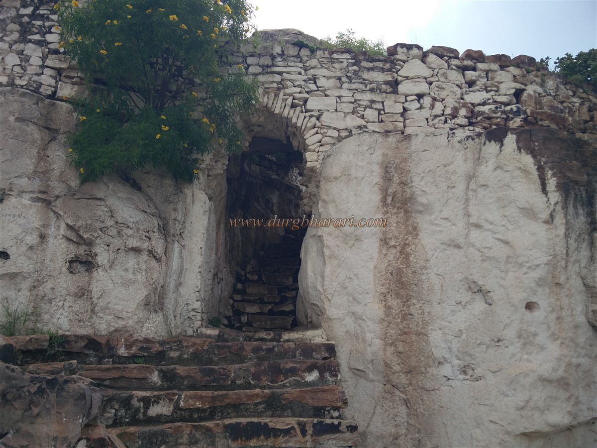
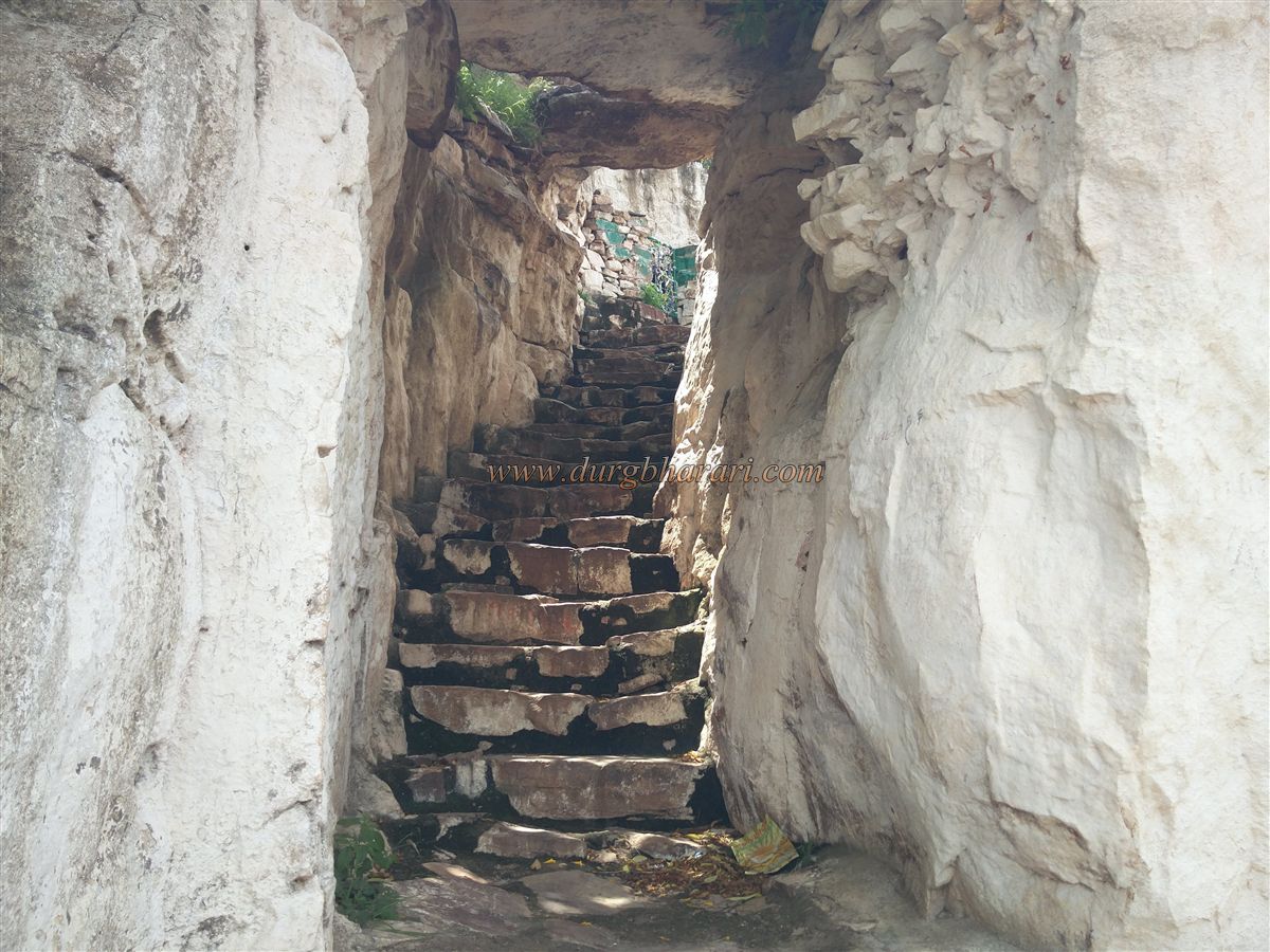
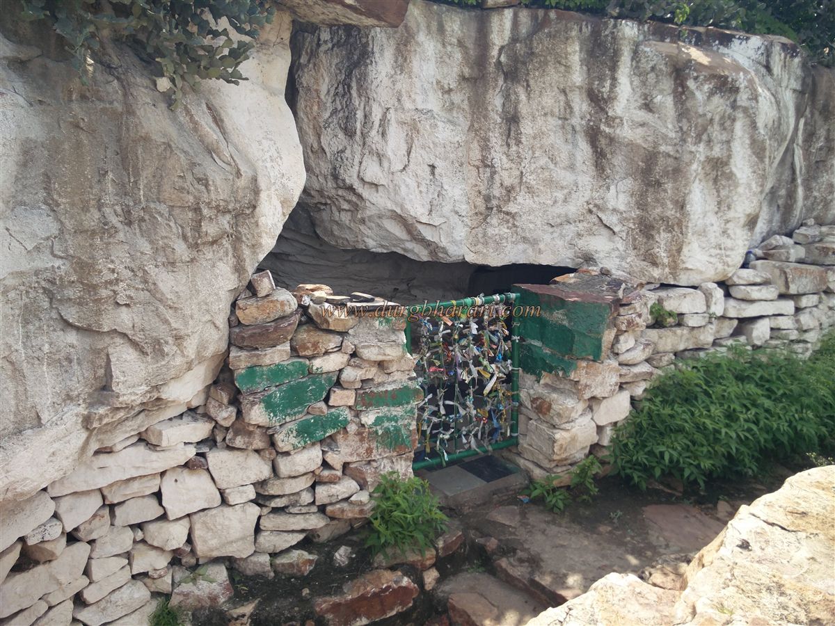
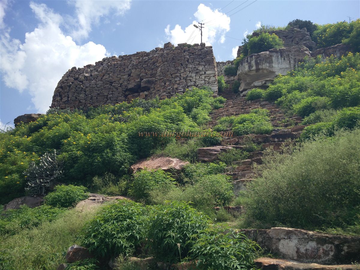
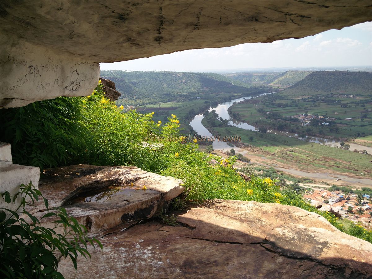
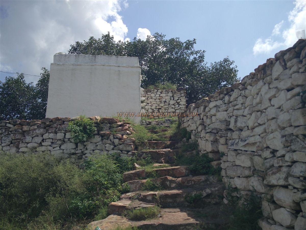
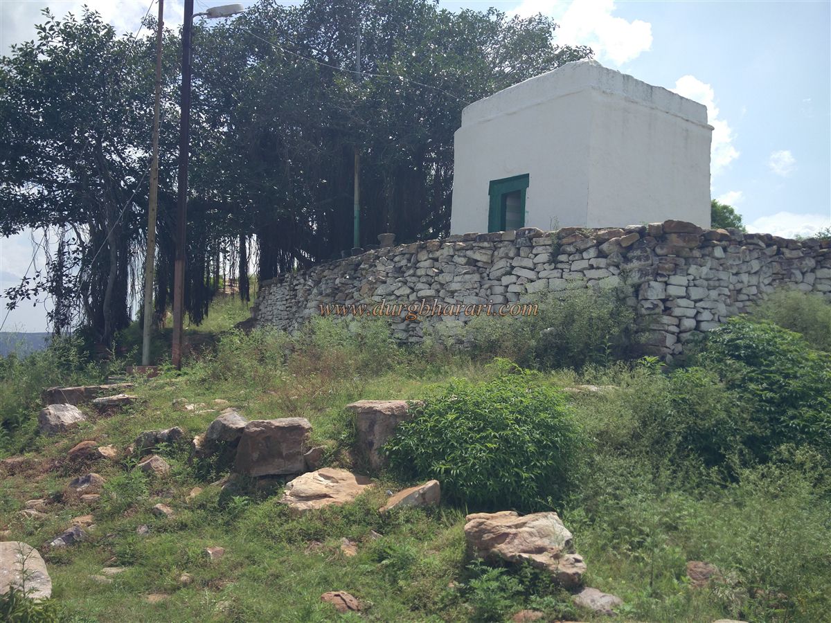
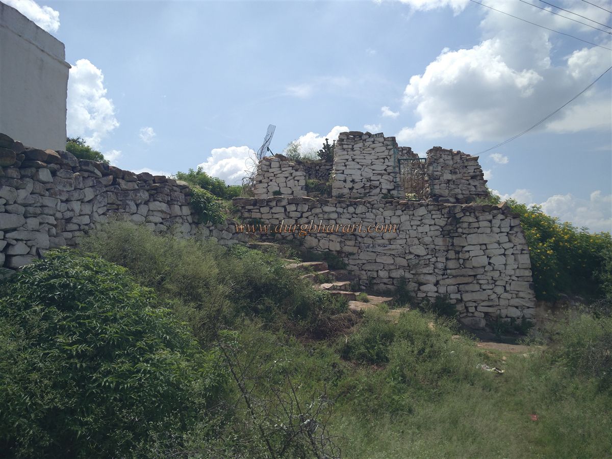
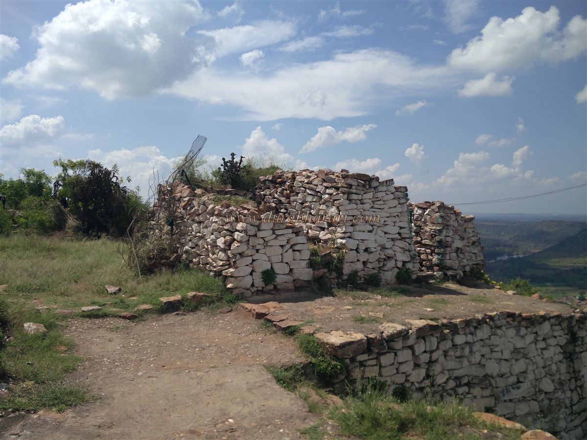
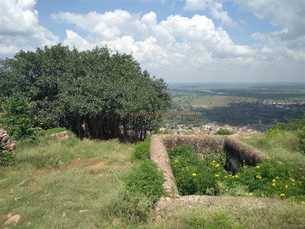
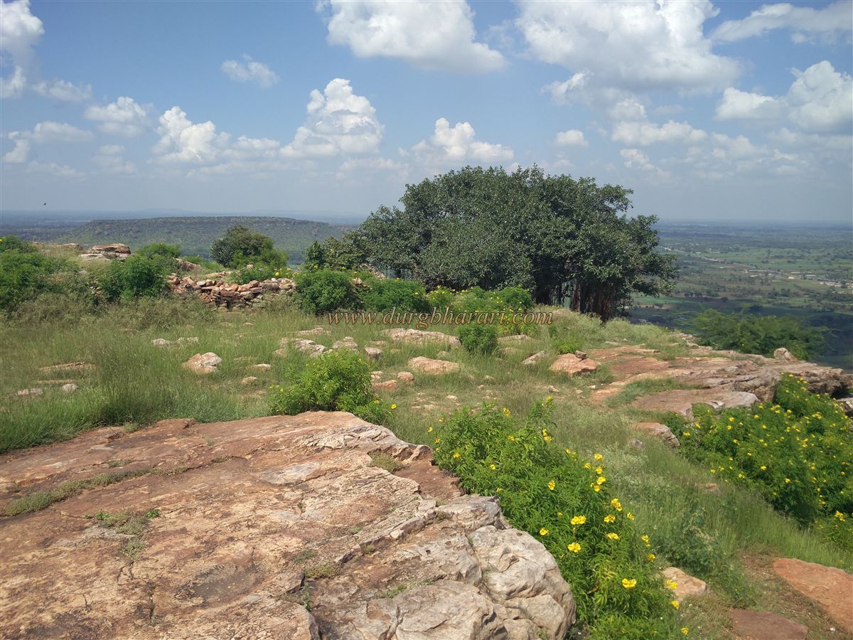
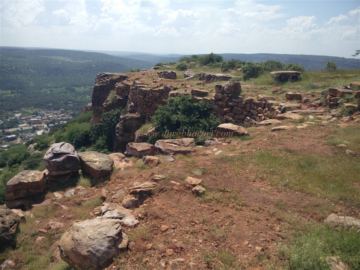
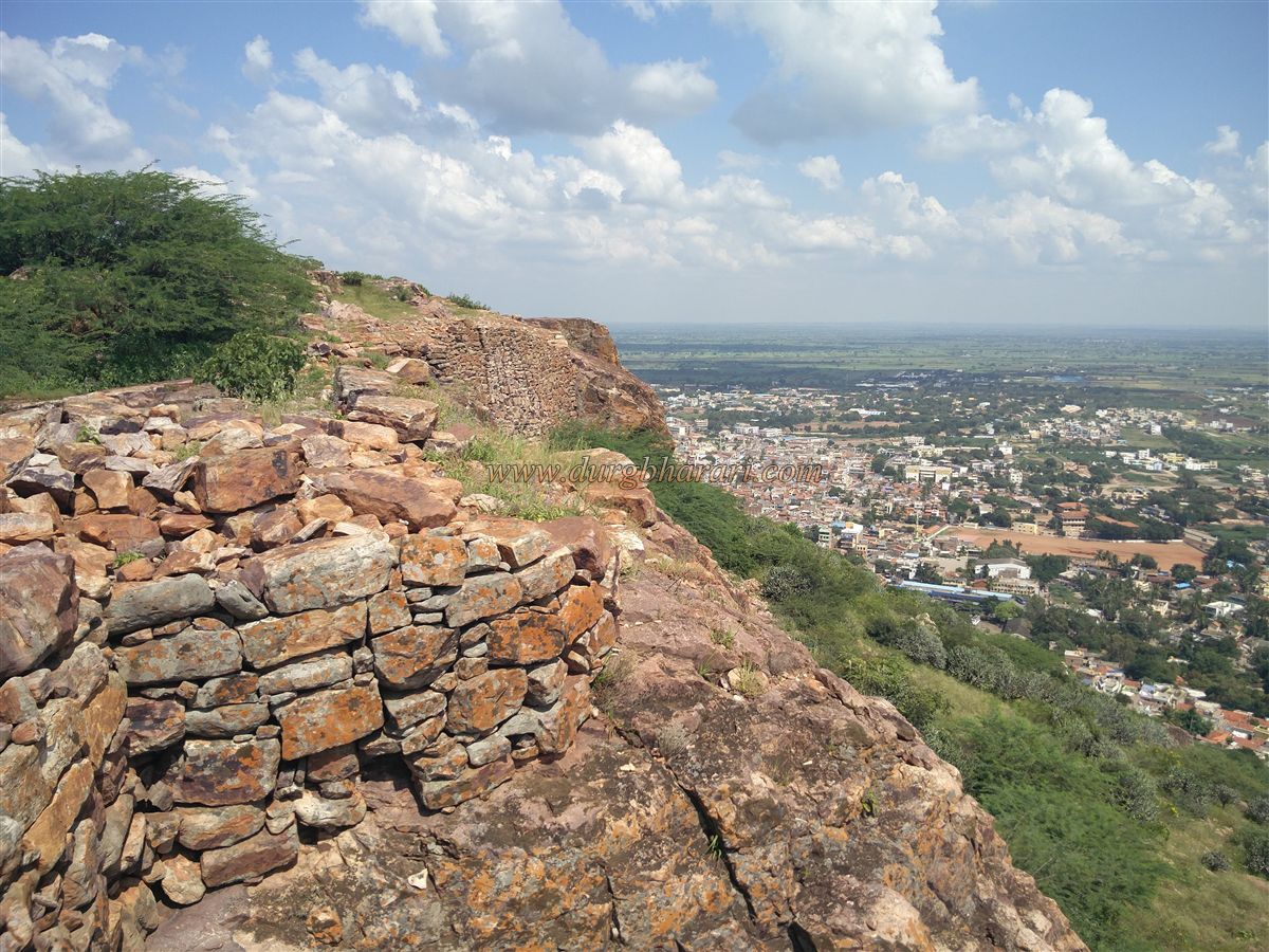
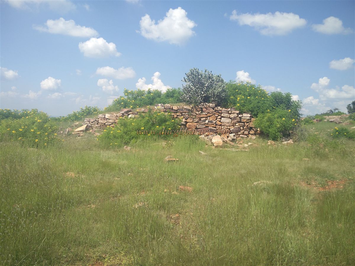
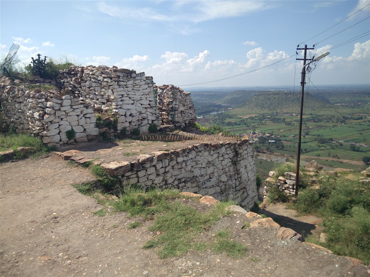
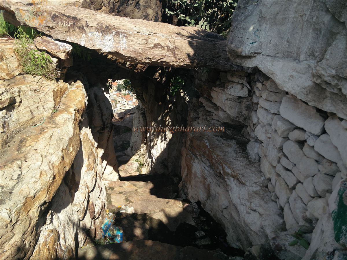
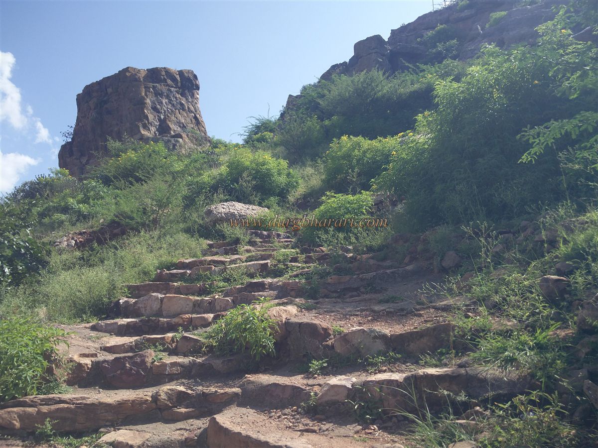
There are steps constructed in some places along the way. Looking up from here, one can see the ramparts of the fort at the top. In half an hour we reach the first gate of the fort. The first gate of the fort is built between two natural stones and is fortified on the upper side. The entire ramparts of the fort are built of stone only. After going up a few steps through this door, there is a tomb built on the left side. The entire fort further is enclosed with ramparts. It is a little higher and has wide steps leading to the second gate at the top of the fort. Outside the door is a small cave carved in the rock, from which there is a beautiful view of the Ghatprabha and Markandeya rivers and confluences. We enter the fort by climbing the stairs through a door built between two bastions. After climbing a few steps inside the door, there is a tomb with a collapsed wall on the right and a Mallikarjun temple on a quadrangle structure on the left. There is a big Banyan tree on the temple premises. After passing this tree, we reach the top of the fort. There are water cisterns built in stone and the ramparts of the fort built on the bank of the cliff can be seen in the distance. The fort is 2370 feet above sea level and the top of the fort is spread over about 12 acres from east-west. Except for 2-4 ruined quadrangle structures on the top of the fort, no other remains can be seen. The entire ramparts are made of stone and are lined with barrage. Although it takes half an hour to walk around the entire fort, except for the ramparts, not many remains can be seen. From 850 to 1250, the province was part of the Ratt Empire. After that Bahmani, Adilshahi, Marathas, Tipu Sultan, and finally, the British had control over this region. Gokak fort was built during the reign of Bijapur. During Shivaji Maharaj’s period, this area came under the control of Marathas. During the reign of Sambhaji Maharaj, in 1685, Aurangzeb's son Shah Alam invaded the south on the Gokak-Dharwad route but was repulsed by Sambhaji Maharaj's army. The area was later in the possession of the Nawab of Savanur. Sadashivrao Bhau set out on a Karnataka expedition with Mahadjipant Purandare on 5th December 1746 to recapture the Maratha stronghold which was raised from here. Going to Tungabhadra, he defeated Nawab Savnurkar and Desai. From the Nawab of Savnur, 22 parishes like Pachhapur, Badami, Navalgund, Umbal, Giri, Torgal, Kittur, Parasgad, Gokak, Yadwad, Bagalkot, Hallyal, Harihar, Basavapattan, etc. came under the control of Marathas. In 1778, Kitturkar Desai took possession of Gokak province. In the year 1779, Parashurambhau conquered Gokak and imprisoned Desai. Later, it appears that this province was under the control of Patwardhan and Karveerkar Chhatrapati and then Tipu for some time.
© Suresh Nimbalkar
GALLERY