GHANGAD
TYPE : HILL FORT
DISTRICT : PUNE
HEIGHT : 2790 FEET
GRADE : MEDIUM
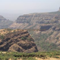
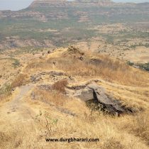
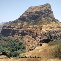
The Sahyadri range extending from the border of the Pune and Raigad district always appeals to the trekkers. From this part of the Sahyadri, many wharves can be seen descending to the Konkan. There are three wharf routes from ancient times to reach the top of the wharf from Pali village in Konkan. Goods unloaded at Konkan ports were brought to the markets at the top of the wharf. A chain of forts was built from the port to the market to protect these routes. Sudhagad, Sarasgad, Mriggad below the wharves and Ghangad, Telbaila, Kailasgad, and Koraigad above. This part of the wharf is known as Chhattis Korbarse due to its 36 villages. Ghangad is a small fort situated on the side of the Sahyadri range. The height of the fort is 2400 feet above sea level and 600 feet from Akole village. Akole is a village at the foot of the fort at a distance of 35 km from Lonavla via Bhushi Dam-Korigad-Saltar-Bhamburde. It is better to go by private vehicle as there is not much traffic on this route.
...
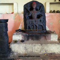
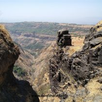
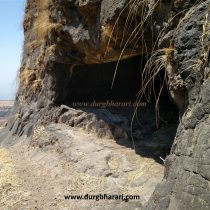
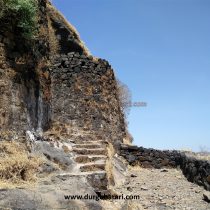
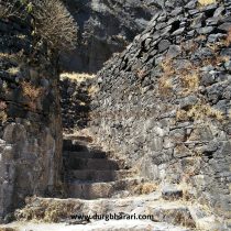
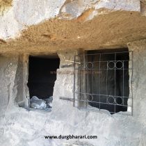
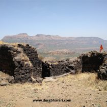
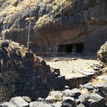
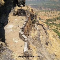
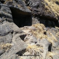
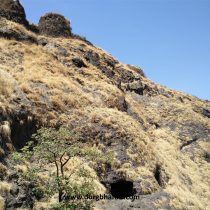
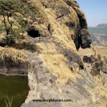
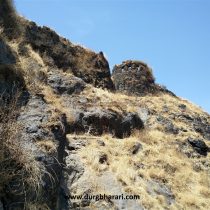
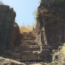
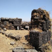
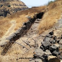
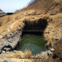
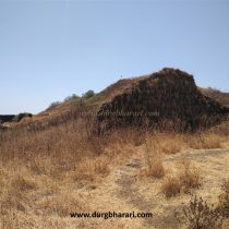
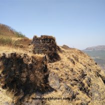
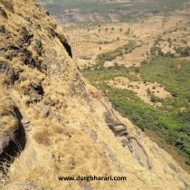
This road leads to Akole village next to Bhamburde village. On the left side of this fork, the pinnacles of Navra-Navri and Bhatoba attract our attention. From here, Akole village and Ghangad fort are at a distance of 3 km. It takes about an hour to reach Ghangad from the left side of the village. This is the only way to reach the fort. This path leads to a bungalow fence. At the end of the fence, a path leads into the bushes on the left. There are remains of Shiv temple here and you can see Shivpindi, Nandi, hero stones, and cannonballs. After seeing the remains of the temple, we come back to the road and after climbing up, we reach the Garjai Devi temple in a few minutes. On the left side wall of this temple, there is an inscription of Shri Aai Maharaj and fort Ghangad. This inscription seems to be very recent. There is an idol of Goddess Garjai in the temple and in front of the temple, there are a square Deepmal and some hero stones. In front of the temple is a large stone cannonball. This temple is great for staying in Ghangad but there is no water facility. After climbing the path on the left side of this temple, in 5 minutes we reach the gorge between the fort and the neighboring hill. To the left of the gorge is a deep ravine that runs along Konkan. This is the outer part of the fort and a cave has been carved in the ridge to keep an eye on the valley and the hill in front. To get there, holes are dug in the ridge. From this small cave, you can see a beautiful view of the lower area. See the cave and come to the main gate of the fort. The ramparts of the fort are repaired and steps are leading to the gates between the two bastions. Upon entering the fort through this east-facing entrance, one sees two caves carved in the rock in front. It can easily accommodate 8-10 people. Going further through this path, there is a small cave carved in the rock at the top and in this cave, there is a recently broken stone idol of Goddess Waghjai. There is a steep stage after the cave and after crossing it, one can see a water cistern. Shivaji Trail, an organization has installed iron ropes here making it easier to see these cisterns. Seeing that, come back to the entrance. To the left of the entrance is a 15-foot ridge. Crossing this ridge, we enter the fort directly. The stairs at this place could not be easily reached due to the demolition by the British with a mine, but Shivaji Trail has now installed an iron ladder here. At the end of this staircase is a cistern carved in the rock. The water is drinkable and cool and is available all year round. After climbing the ladder, another path with a staircase can be seen in the front. Continuing along this path, we reach the top between Ghangad and the neighboring hill. There is a cave carved in the rock at this place. After seeing this cave, come back to the footpath and after climbing 10-12 steps, you can see a cave carved in the rock on the right side. There are 4 carved water cisterns in front of the cave. The first cistern is in the open and the second cistern is pillared. The third cistern is a joint and is carved in the rock. The fourth cistern is small and the water in it is drinkable as it has been cleaned recently. After walking backward and climbing a few steps, we enter the fort directly from the east-facing fallen entrance. Today, only the bastions and walls adjacent to the gates are remaining. One of the bastions has a basement-like structure but cannot be reached as it has collapsed on a large scale. There is overgrown grass on the top of the fort and most of the remains are not visible due to this. A little further along the footpath on the right side of the entrance is a dry water cistern and at the top part is another water cistern with steps. There are four water cisterns on the top of the fort out of which two are lying dry. Further to the end of the fort are the remains of the Chief’s building. Remains of various structures can be seen in many places around the flag on the fort. At the left side of the doorway is a large two-story bastion with the upper floor collapsed. This bastion has a barrage of cannons. After seeing this bastion and coming back to the door, your fort round is complete. From the top of the fort, there is a beautiful view of the vast wharf route and the Konkan. The area around Sudhagad, Sarasgad, and Tailbaila as well as Nandand Ghat, Swasnicha Ghat, and Bhorpachi nal can be seen. As the head of the fort is small, it can be seen within half an hour. It takes an hour and a half to walk around the entire fort. Historically, the fort is not mentioned during Shivaji Maharaj’s period, but it was often used as a prison during the Peshwa period. It is mentioned that Ghangad was first in the possession of Koli Samant then Nizamshah then to Adilshah and then to Marathas. It was used to monitor the roads leading to the Konkan and to keep prisoners. Sadashivrao Bhau's duplicate was imprisoned on this fort. If you leave Mumbai Pune by private vehicle in the early morning, you can see Koraigad, Telbaila, and Ghangad forts in one day till evening.
© Suresh Nimbalkar

