GAVLIGAD
TYPE : HILL FORT
DISTRICT : JALGAON
HEIGHT : 2838 FEET
GRADE : MEDIUM
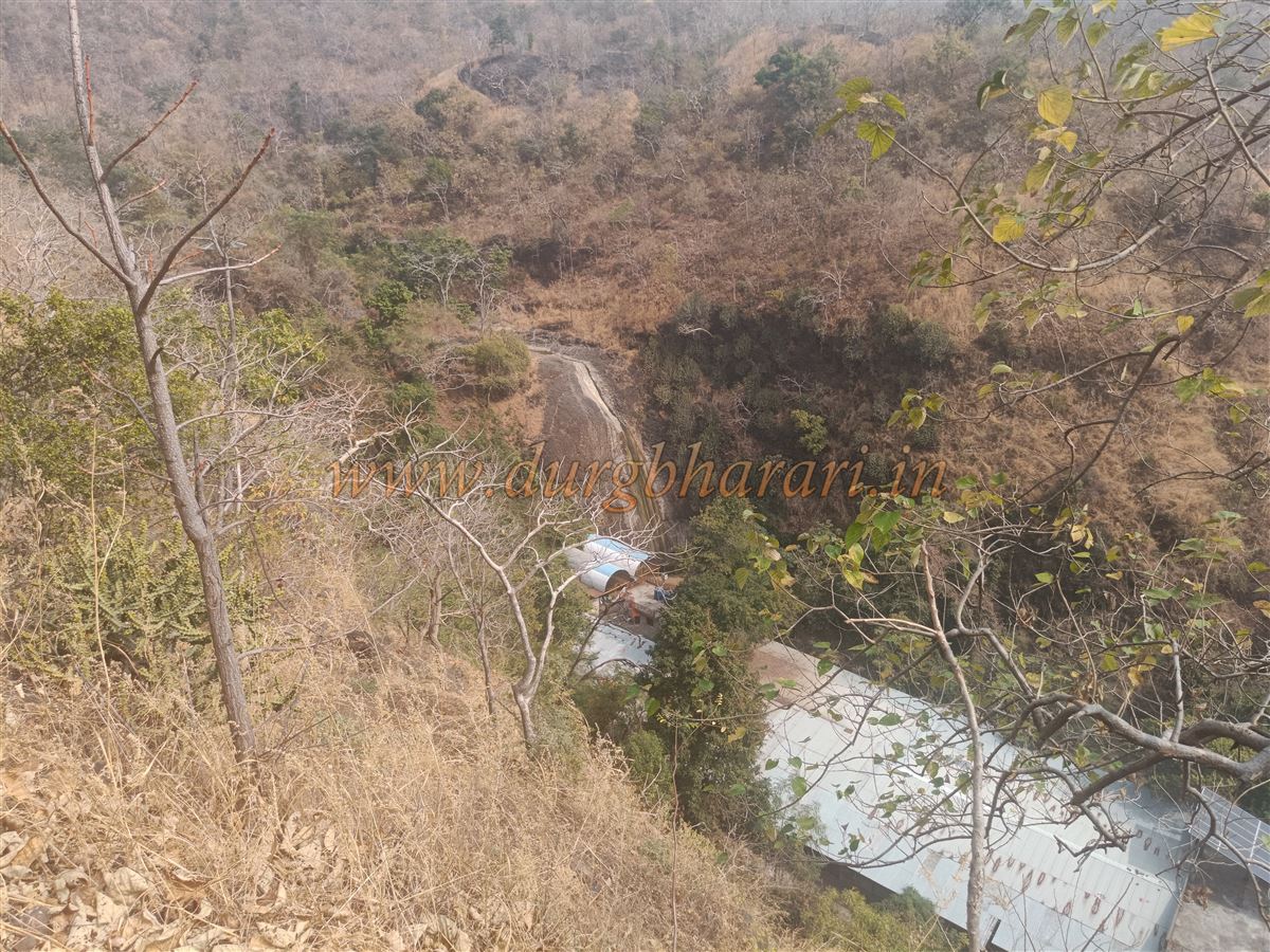
Though Jalgaon district enjoys proximity to the Satpuda mountain range, the number of hill forts here is very limited—barely enough to count on fingers. One of these is Gavligad, also known by various names such as Vaishakhgad or Manapuri. Locals refer to this fort as the fort of Gavli Raja (a pastoral king), so calling it Gavligad is appropriate. Located in the Yawal forest area, this fort can be considered more of a forest fort. The fort lies in Yawal taluka, about 28 km from the taluka headquarters Yawal and 40 km from Chopda. The fort area consists of a vast plateau on the hilltop with two peaks. The terrain is rugged and scattered, so multiple paths lead to the fort, but the easiest and most convenient route is from the Manudevi temple. Also, local shopkeepers can arrange guides for the trek.
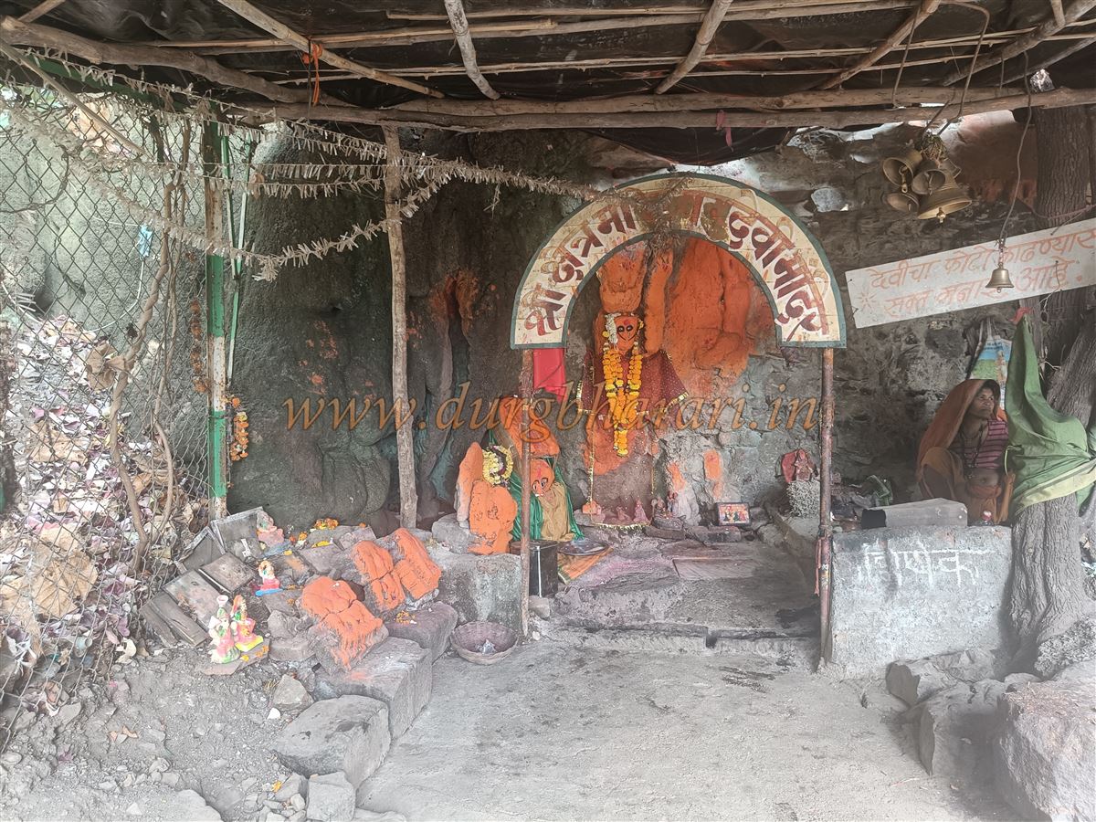
Manudevi is the presiding deity of the local communities of Khandesh, particularly the Bhil and Tadvi communities, and is the family deity for many nearby villages.
...
Therefore, the place sees constant flow of devotees. Despite this, due to poor vehicle access, visitors typically need their own private transport.
To reach Manudevi temple, first one must come to Adgaon or Kingaon villages at the foothills. From Yawal to Adgaon is 20 km, and from there, the temple is 8 km inside the hills. Since no direct vehicle facility exists for this 8 km, visitors must hire private rickshaws from the village or walk. On the way from Adgaon to Manudevi, there is a Hanuman temple about 6 km from Adgaon. Near this temple is a beautiful Pazar lake, and from there Manudevi temple is 3 km ahead.
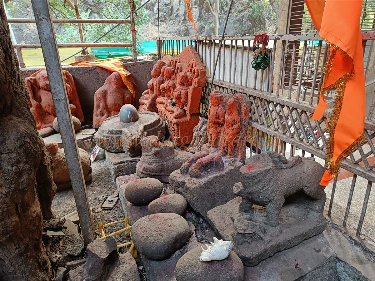
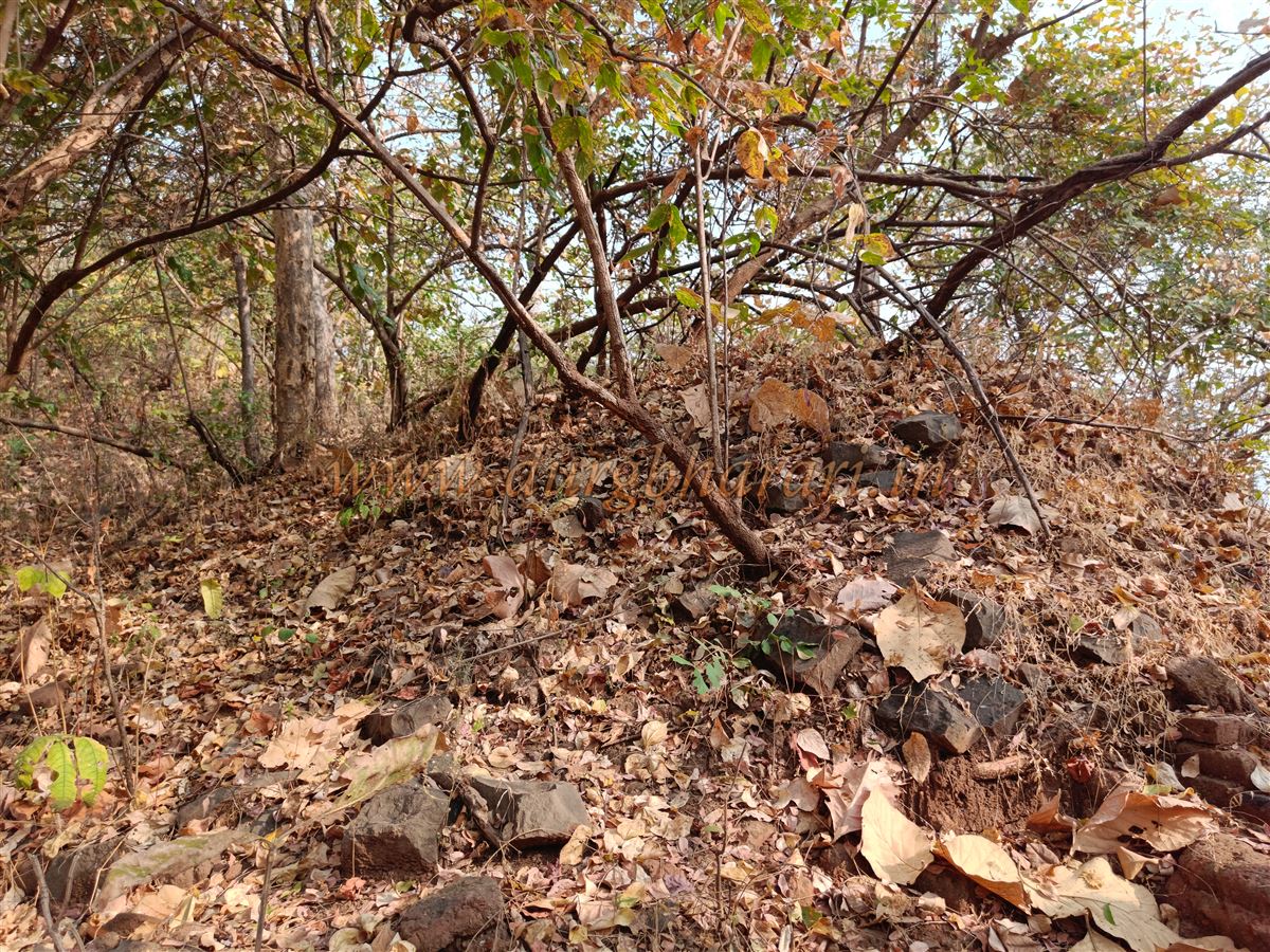
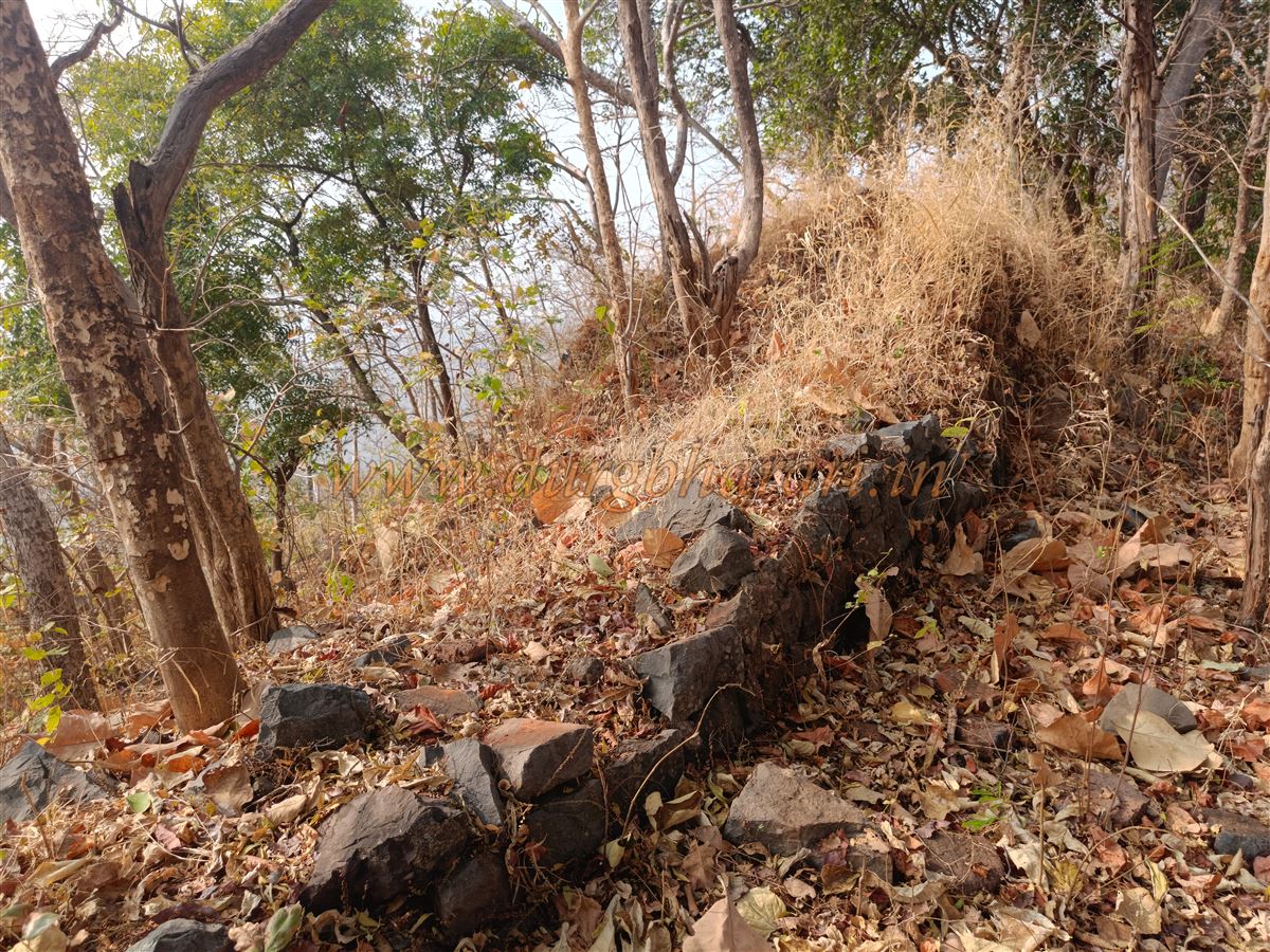
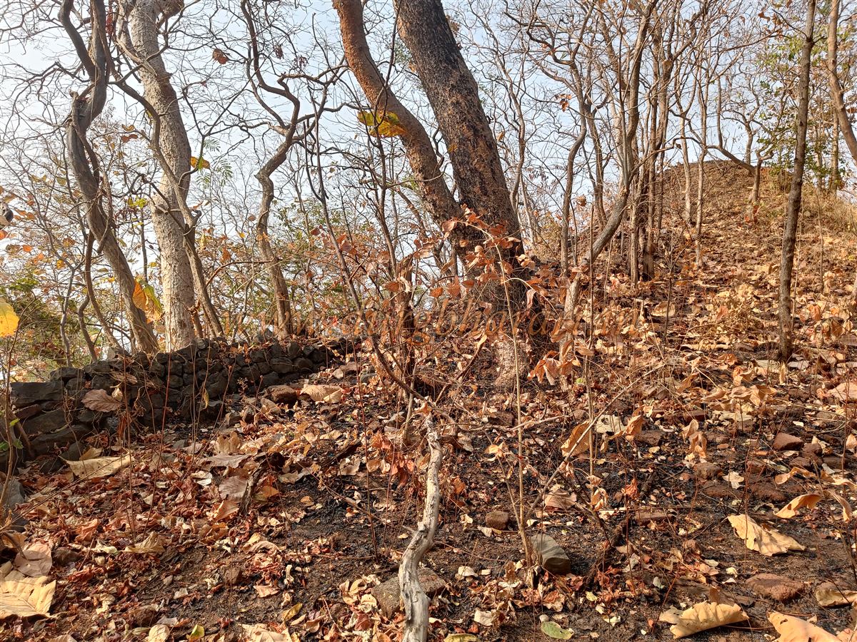
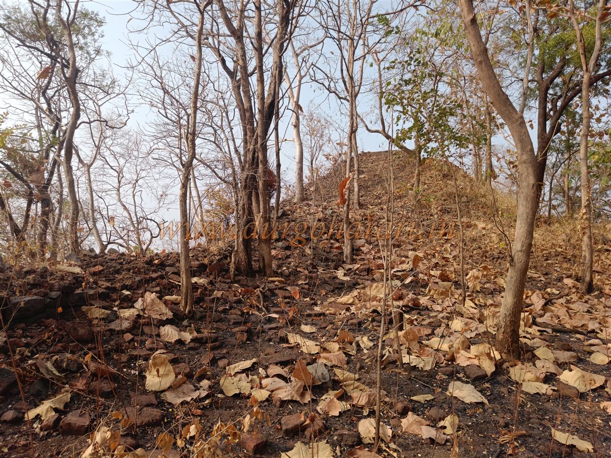
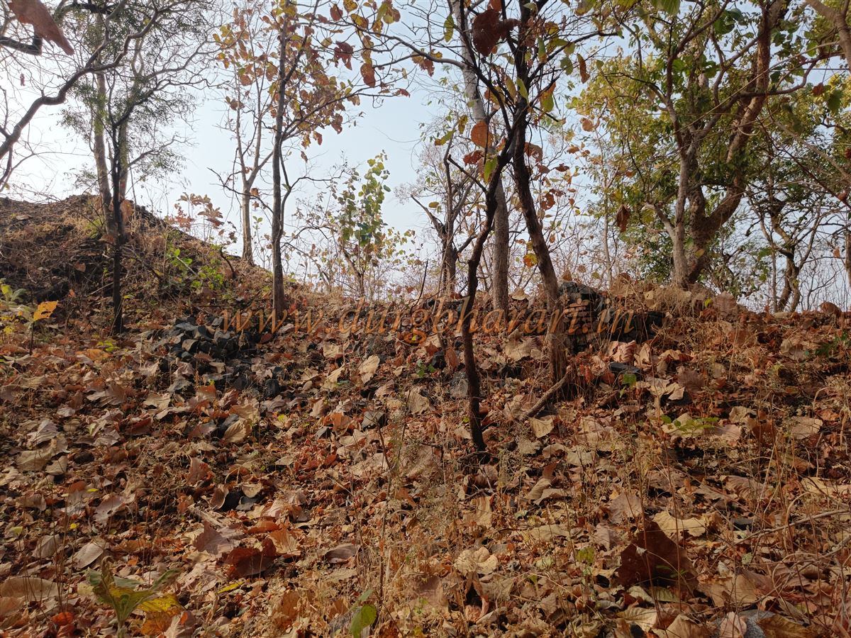
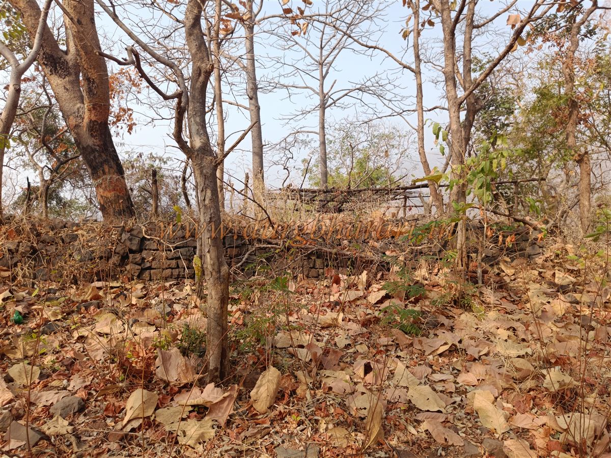
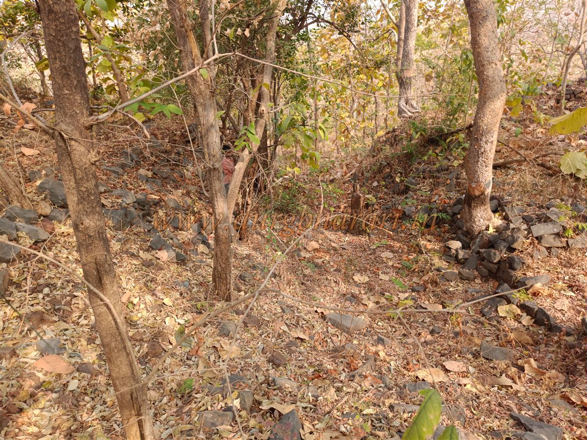
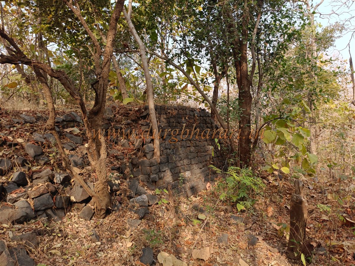
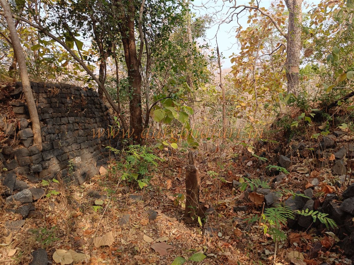
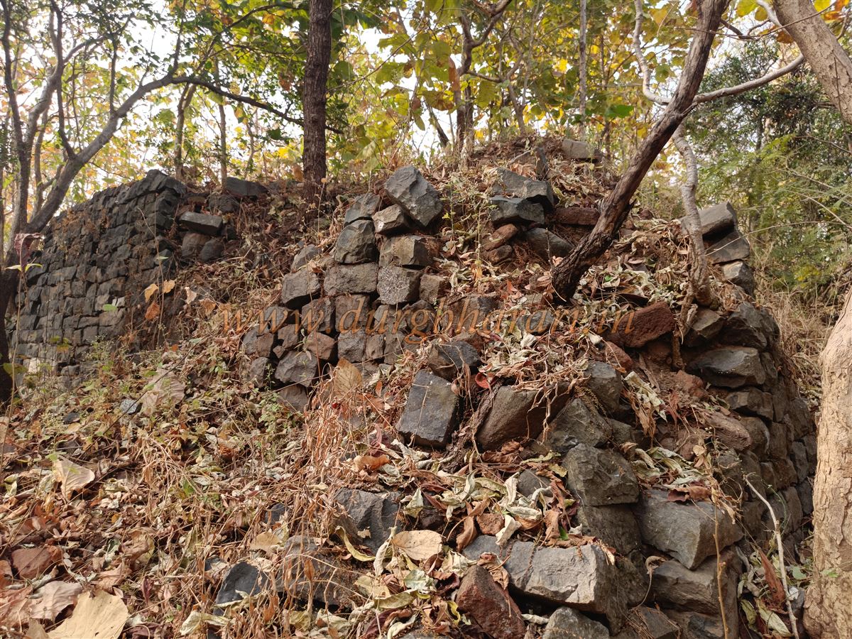
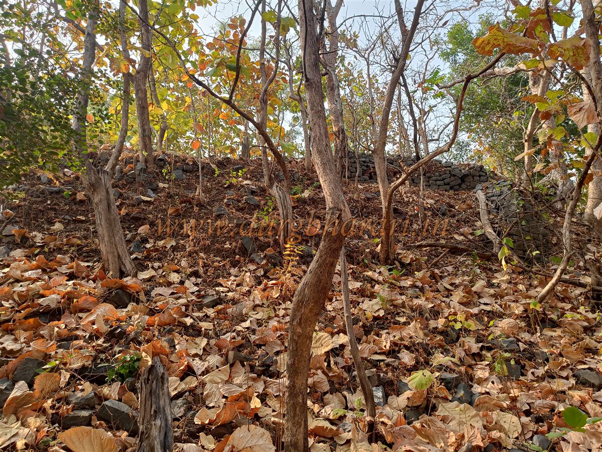
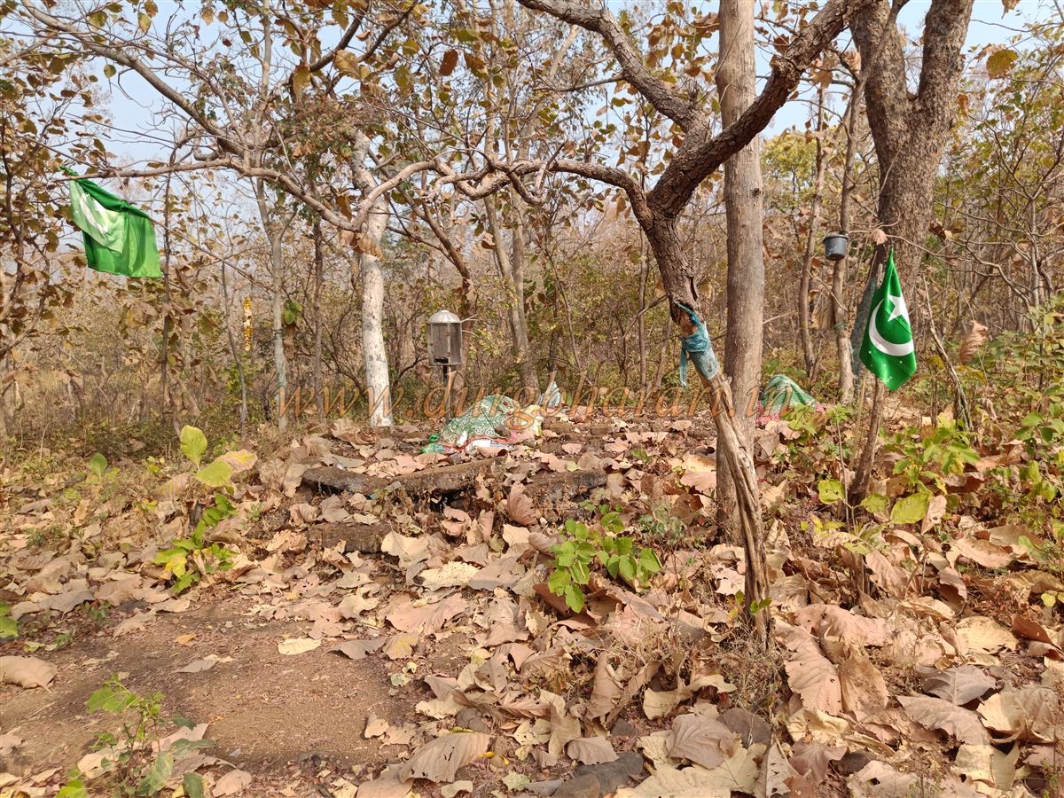
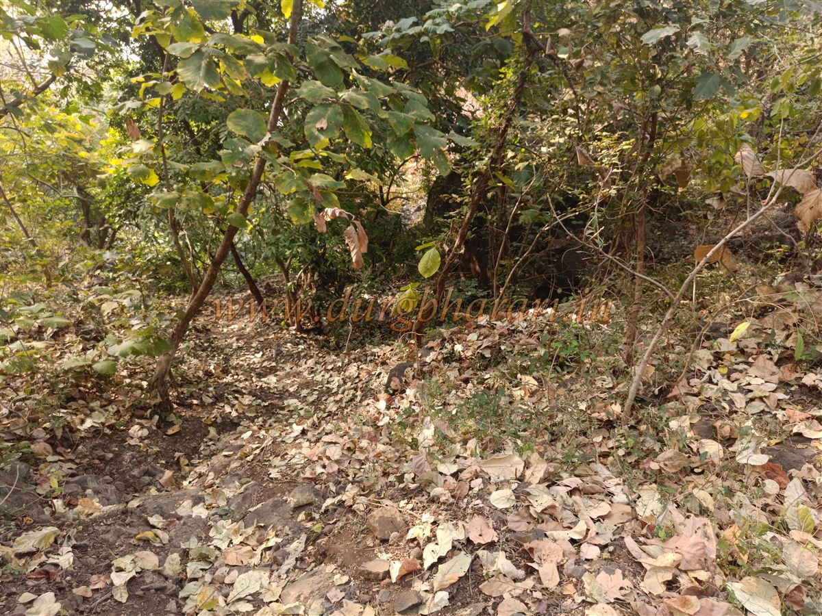
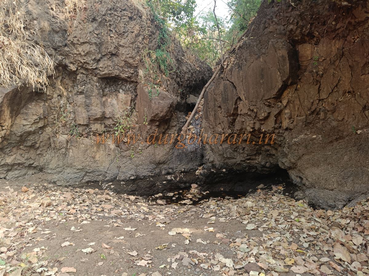
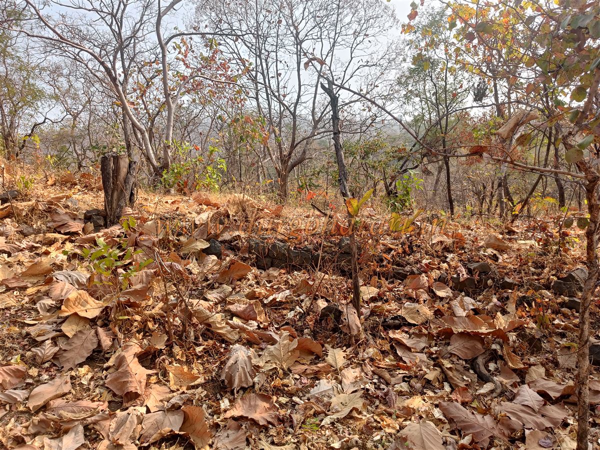
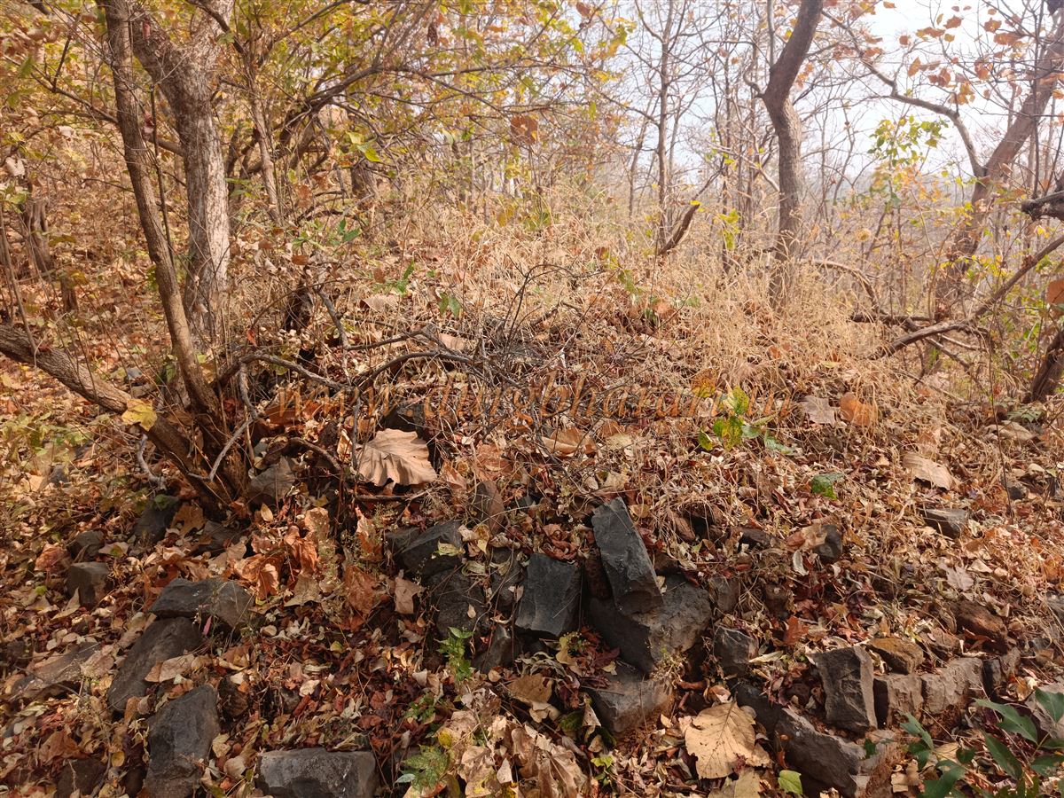
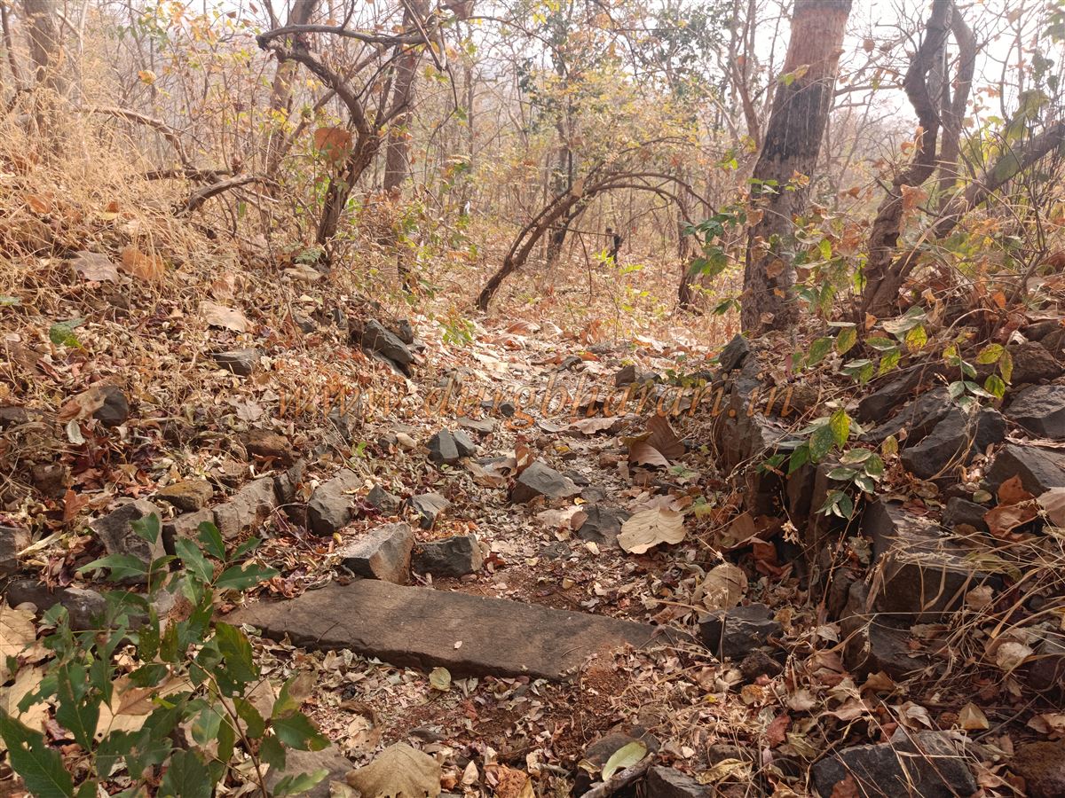
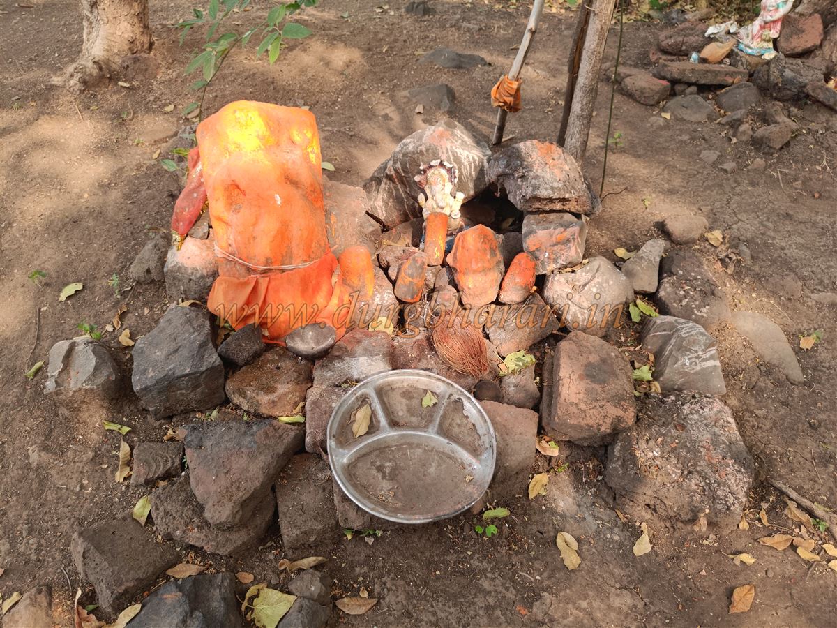
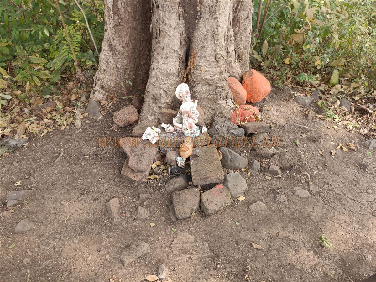
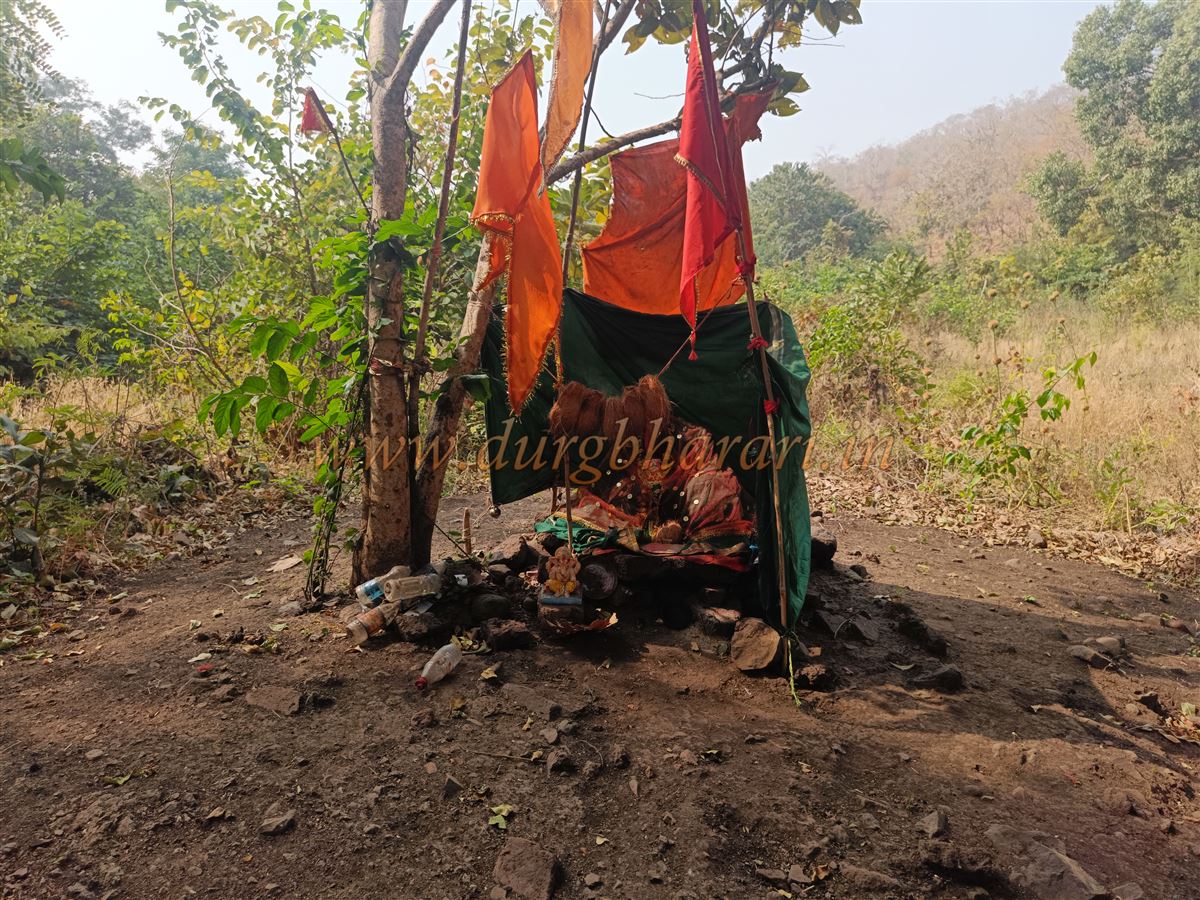
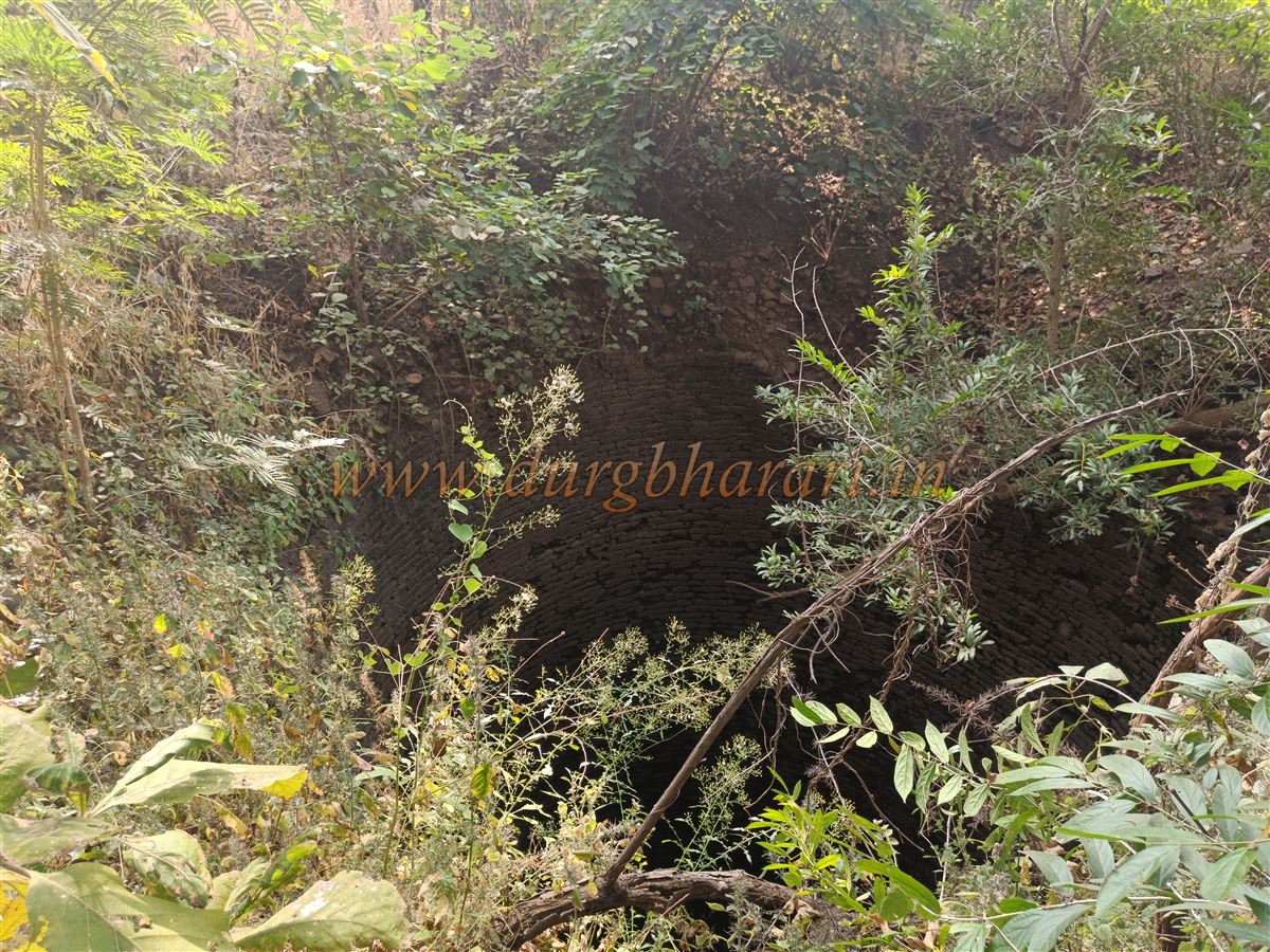
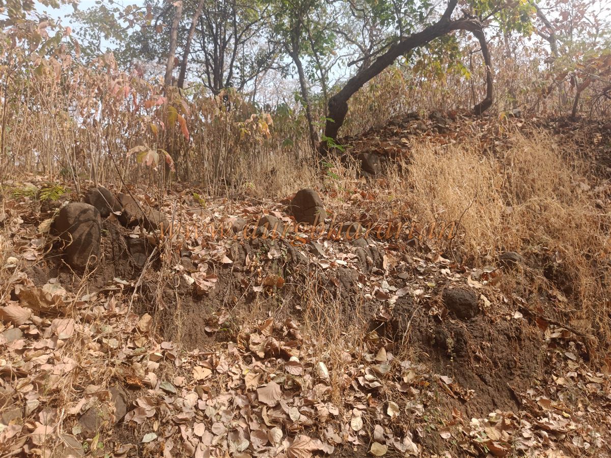
The Manudevi temple is very ancient, as suggested by archaeological remains and excavated idols. After reaching the foothills, one climbs roughly 150 steps to reach the temple, which lies in a valley between two hills. Adjacent to the temple is a large waterfall considered the source of the Mankari River. The present temple building is newly constructed, but around it are remnants of the ancient temple—ornate pillars, broken idols, and scattered ruins. Some remains of houses in the vicinity suggest that earlier there was a village called Manapuri here. Locals say Manudevi was the family deity of the Gavli king. From near the waterfall beside the temple, a path going uphill to the left leads to the fort’s approach. The fort entrance is about 3 km from the temple. Since the path passes through dense forest and the fort is extensive with ruins scattered over different areas, having a knowledgeable guide is necessary. From the temple, after roughly 45 minutes’ trek through ruined fortifications, you enter the fort. The fort walls here do not clearly show a gate but are made of fitted stones and large bricks. Most walls have sunk into the earth and are overgrown with trees. The entire fort stands on a high plateau with two medium-sized hills. Besides the main fort, these hills are surrounded by fortifications and appear to be the fort’s balekilla (citadels). Both hills have independent water sources. After entering through the ruins, a path going left leads to the first balekilla. At the tip of this hill is a tall large bastion, from which one can see a vast area around. This bastion is at an altitude of 3,573 feet above sea level. On this hill are ruins of some houses, a balad (pew), and two water tanks. This entire hill is separately fortified with bastions and has a separate gate. Although the gate’s arch is destroyed, the adjacent bastion and platform remain. Exiting this gate, you reach the fort’s plateau. Here, a recently constructed tomb stands on an old platform. Ahead on the left is the fort’s wall, and on the right is a large earthen-filled pond on the hillside. Beyond this is a small valley, after crossing which you reach the fort’s second section. The hill on the left here is the second balekilla. Although it lacks much fortification, a moat separates it from the plateau. Instead of going there, moving left leads to the main gate of the fort on the plateau, which is completely ruined, leaving only the platform. After seeing this gate, entering the forest on the right, under a tree, is a place where a goddess is worshipped in the form of rice. Near this open-air temple is a large, circular, deep well built with stones. Moving ahead, you reach the moat below the second hill. Crossing it, you arrive at the second balekilla. Here are many remains of residential and palace structures, but due to decay and overgrowth, the gate is no longer visible. Descending from the second balekilla leads to the earthen-filled pond, where the return journey begins. Exploring the entire fort area takes roughly two hours. Judging by its size, the fort likely has many more ruins hidden by vegetation or buried in earth. Locals say there used to be 1800 steps to the fort, but none are visible now, so this may be folklore. The fort is under the forest department’s control, and due to wildlife presence, overnight stays are prohibited. Walking the whole fort and returning to the temple takes about five hours. According to local tradition, during the Abhir dynasty, a Gavli king named Ishvasen ruled here and built the fort. Before the British took over, the fort was controlled by the Shinde family.
© Suresh Nimbalkar
GALLERY