FIRANGKOT
TYPE : COASTAL FORT
DISTRICT : THANE
HEIGHT : 60 FEET
GRADE : EASY
In ancient times, Kalyan was an important port. Ships would navigate through the Ulhas Creek from the Arabian Sea. Along this water route existed ancient ports such as Ghodbunder and Naglabandar. To protect these ports and the waterway, four forts—Ghodbunder, Naglabandar, Gomukh, and Ovale Kot—were constructed on the southern side of the Ulhas Creek, while on the northern side, smaller forts like Nagle, Kharbav, Firangkot, and Kambe Kot were built. Firangkot was built on a small hillock along the Kamwari River. The Portuguese constructed this fort to guard the Vasai Creek and Kamwari River.
To reach Firangkot, one must travel to Kharbav village via the Vasai–Chinchoti–Anjurphata–Bhiwandi road. After visiting the Kharbav fort, one can proceed to Firangkot.
...
The road to Firangkot branches off from Kharbav and leads 2.5 km further to Firangipada village. On this path, one passes under an archway and a brick kiln. Instead of entering the village through the arch, continue ahead along the main road, where two bungalows and a small hill are located.
This small hill, about 100 feet high and covered in vegetation, is where Firangkot stands. The locals are generally unaware of this structure as a fort. Therefore, it is essential to gather full information about the fort before visiting. It takes only about ten minutes to climb the hill. Due to heavy excavation for brick-making, the hill has been significantly dug up for soil.
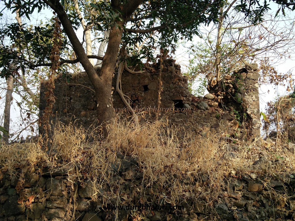
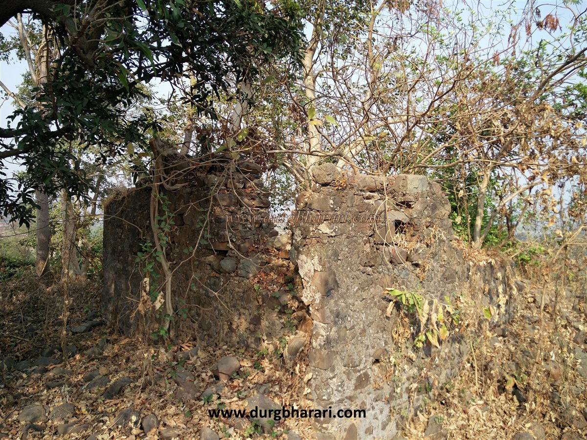
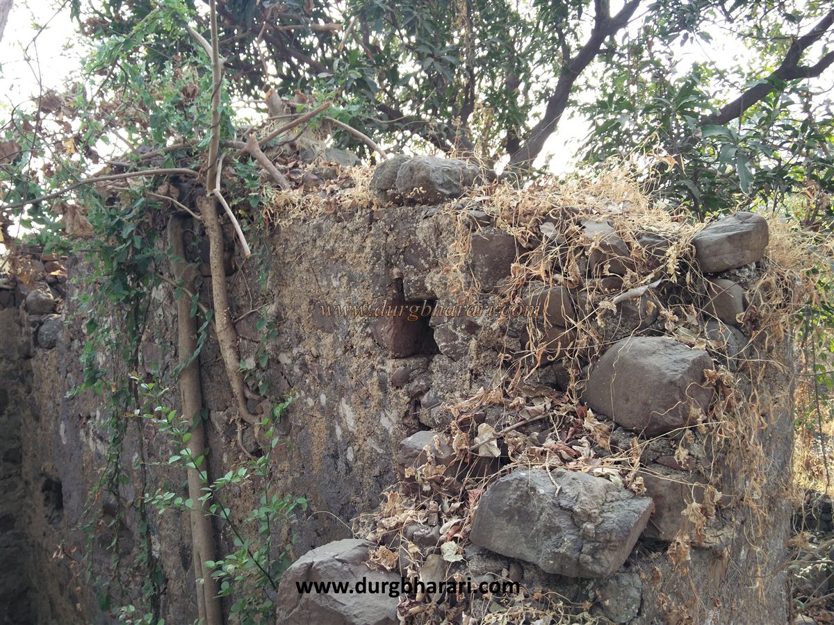
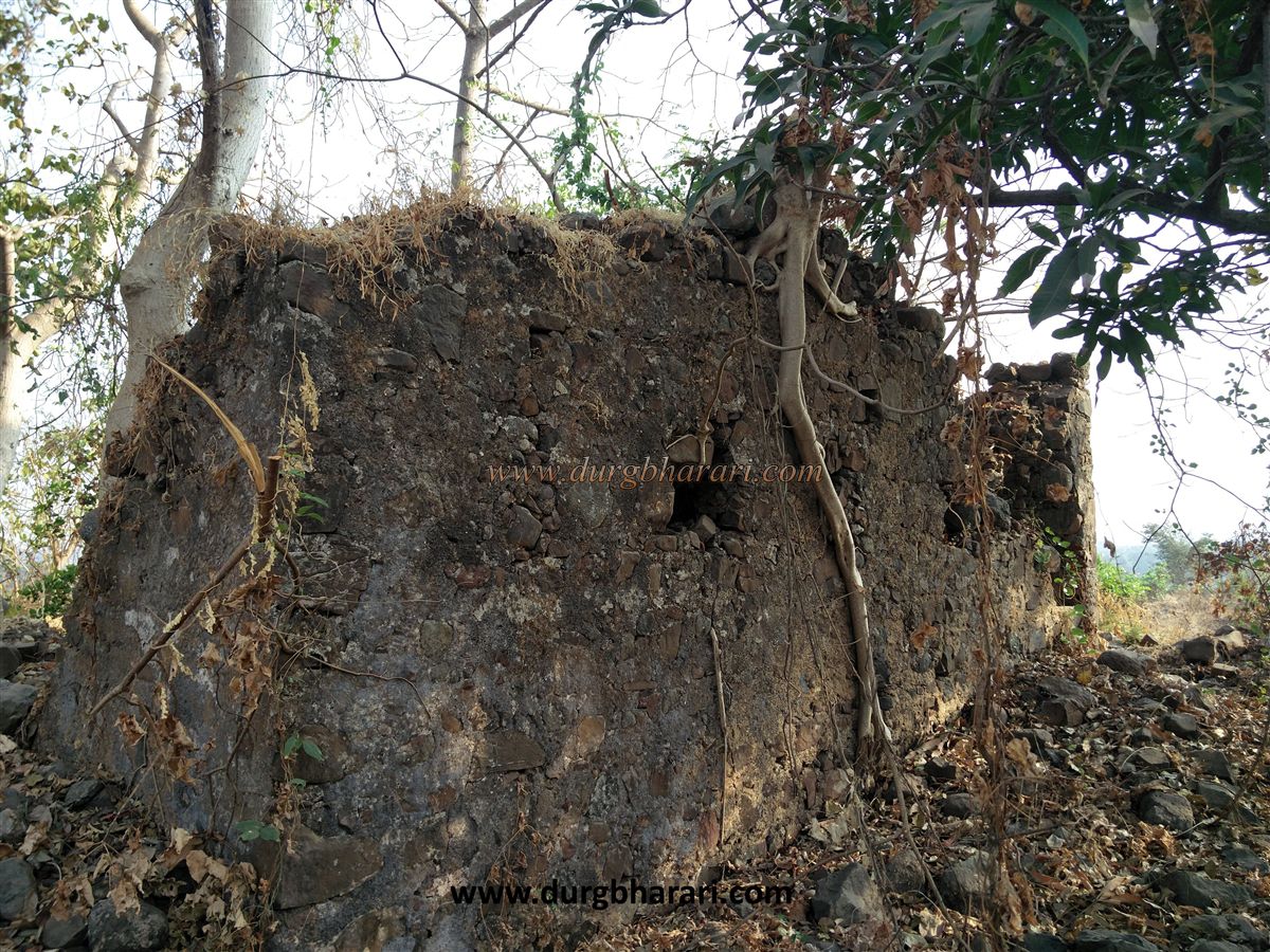
As one ascends, the fort’s remains become visible. Trees have taken over the structure, with roots penetrating deep into the walls. Compared to other Portuguese structures in the region, a considerable portion of Firangkot remains intact. The fort is roughly square in shape, and today only three walls and a few platforms of the structure survive. The walls are overgrown with vegetation, and roots are further weakening them.
The construction materials used in the fort include undressed stone, clay, and lime. Defensive features can still be seen in the walls. Based on the available remains, historical context, and the size of the structure, it is likely that this fort served as a Portuguese-era administrative office, customs outpost, or a watch station.
The fort is small and can be explored in about fifteen minutes. Although the structure no longer fully stands, its geographical position clearly indicates its strategic role in monitoring the Kamwari River. Using small forts, watchtowers, and long-range cannons, the Portuguese had established their dominance over the sea routes of North Konkan.
Built in the 16th century, these watch forts were mainly used to guard maritime routes and supply necessary resources to larger forts in the region. Records note that on April 3, 1739, the Marathas captured the outpost at Firangipada, west of Kambe. At this time, the fort’s commander and his soldiers were taken prisoner. According to the accounts of Danvers, the Firangipada outpost fought bravely, but with their captain fleeing, they were forced to surrender.
During the 1739 Vasai campaign, the region encompassing Kharbav, Kambe, and Firangipada came under Maratha control, forcing the Portuguese to evacuate the area. A visitor coming here expecting to see a full-fledged fort may be disappointed. However, for those interested in the strategic geographic importance of Portuguese watch posts along maritime trade routes, this site is worth a visit.
© Suresh Nimbalkar
GALLERY