DURG
TYPE : HILL FORT
DISTRICT : PUNE
HEIGHT : 3820 FFET
GRADE : EASY
While walking around the forts in Sahyadri, the question of why some peaks should be called forts does come into mind. Sometimes the existence of the fort is proved by one or the other relics in the place or a glimpse of the history, but sometimes our question remains unanswered. Two such unanswered questions are Dhakoba and Durg Fort. The fort was built in the Malshej mountain range on the banks of the Darya Ghat in the Junnar area to keep an eye on the Darya Ghat to the south of Naneghat and Jeevdhan. The second fort in a straight line to Dhakoba is the fort Durg. It is said that the main purpose behind the construction of these forts was to keep an eye on the wharf, but since there is no remnant of a fort on this hill and it is not mentioned anywhere in history, it would not be appropriate to call it as a fort.
...
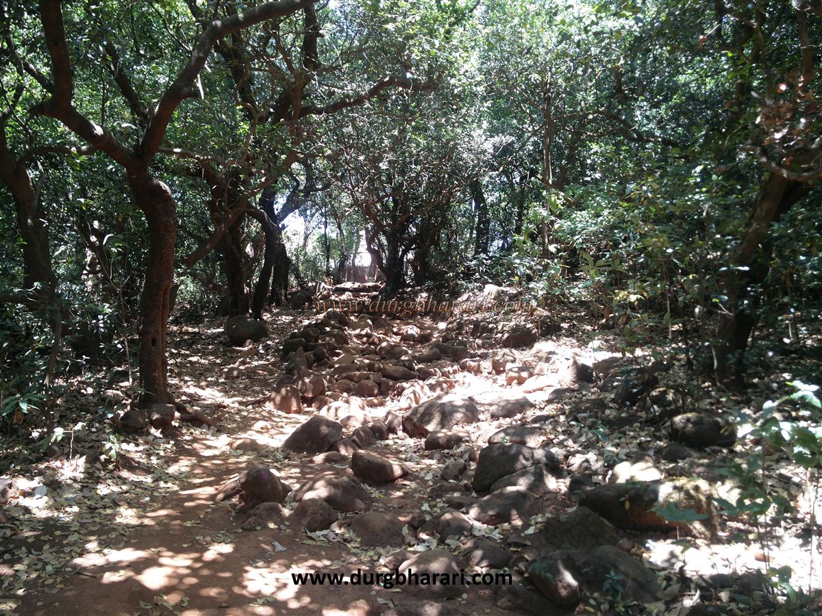
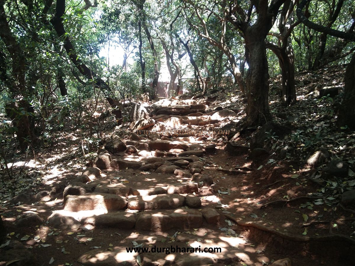
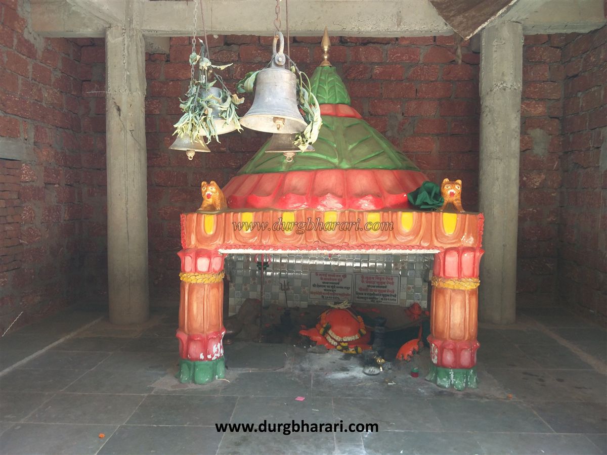
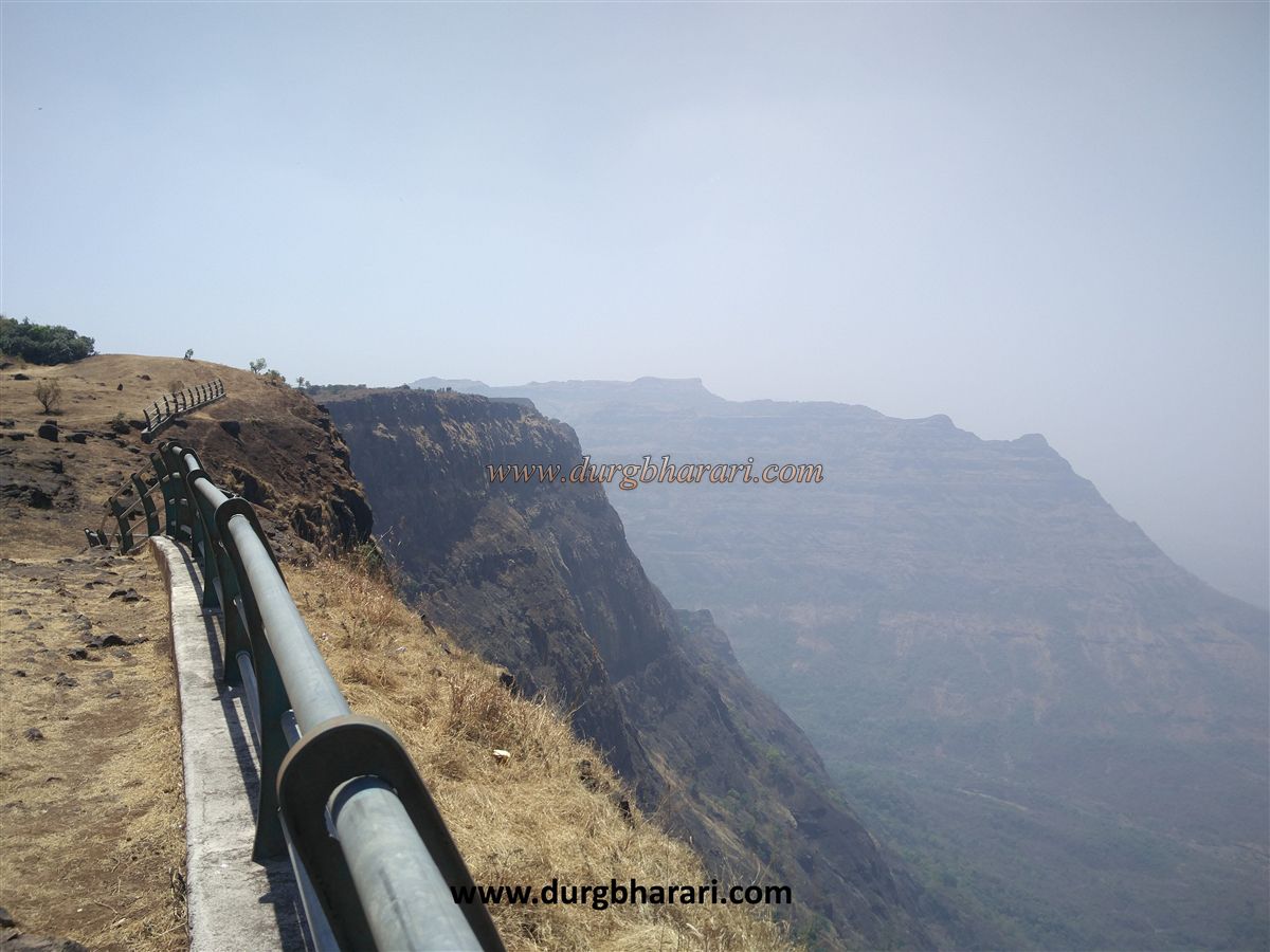
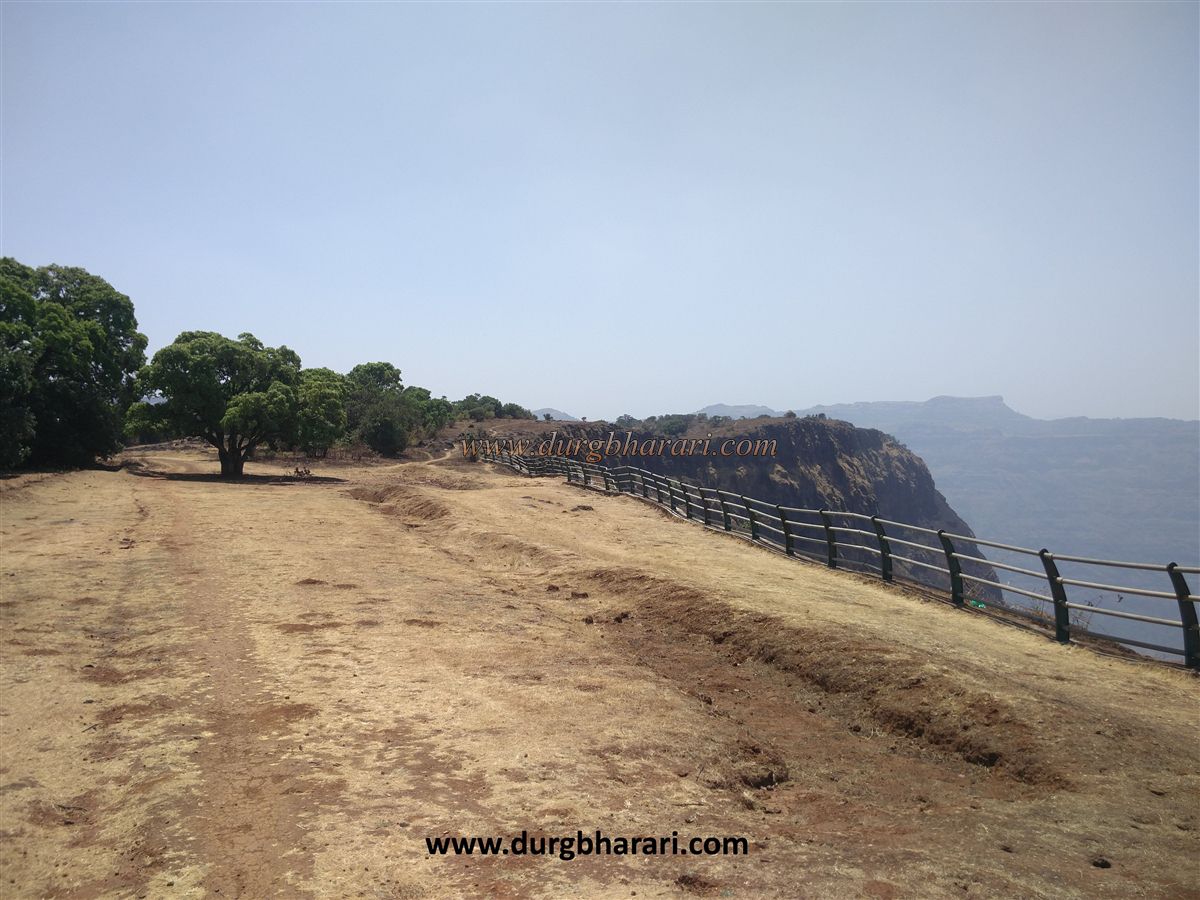
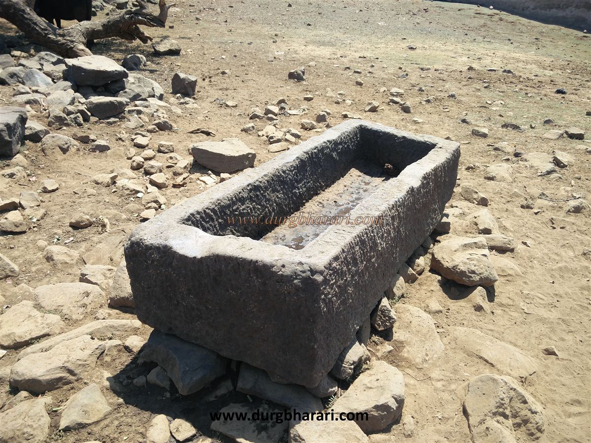
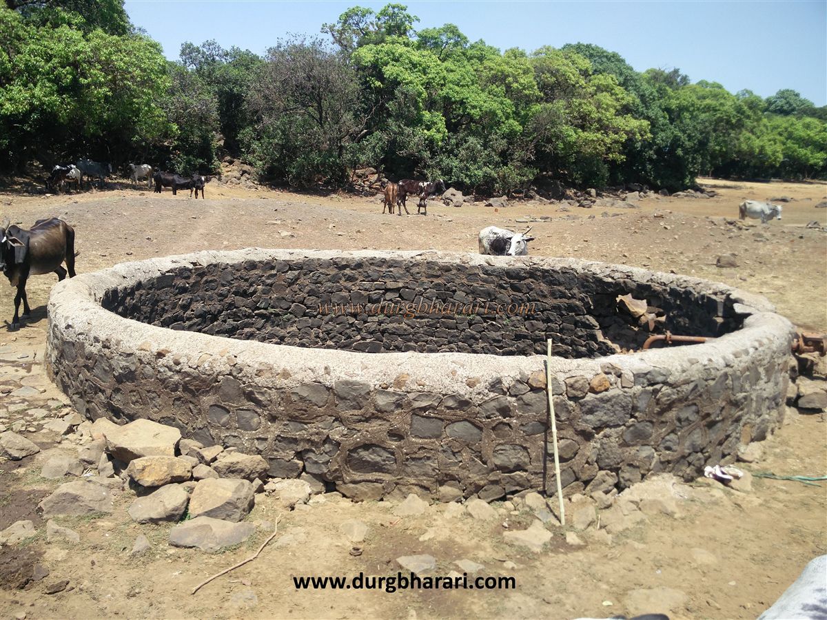
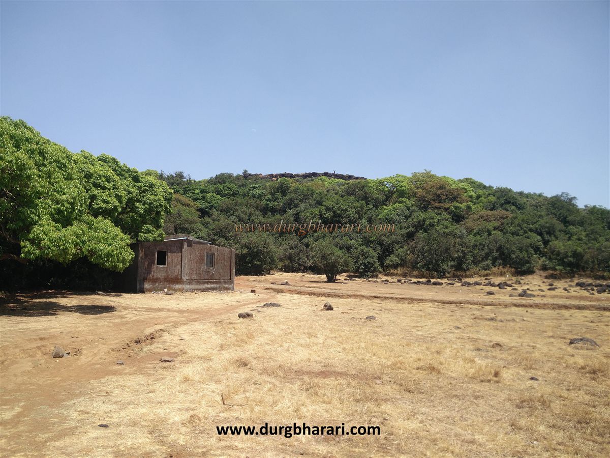
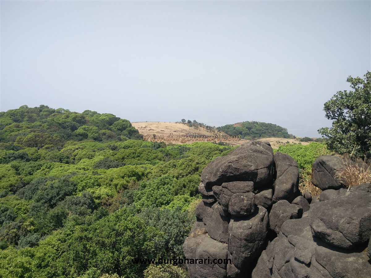
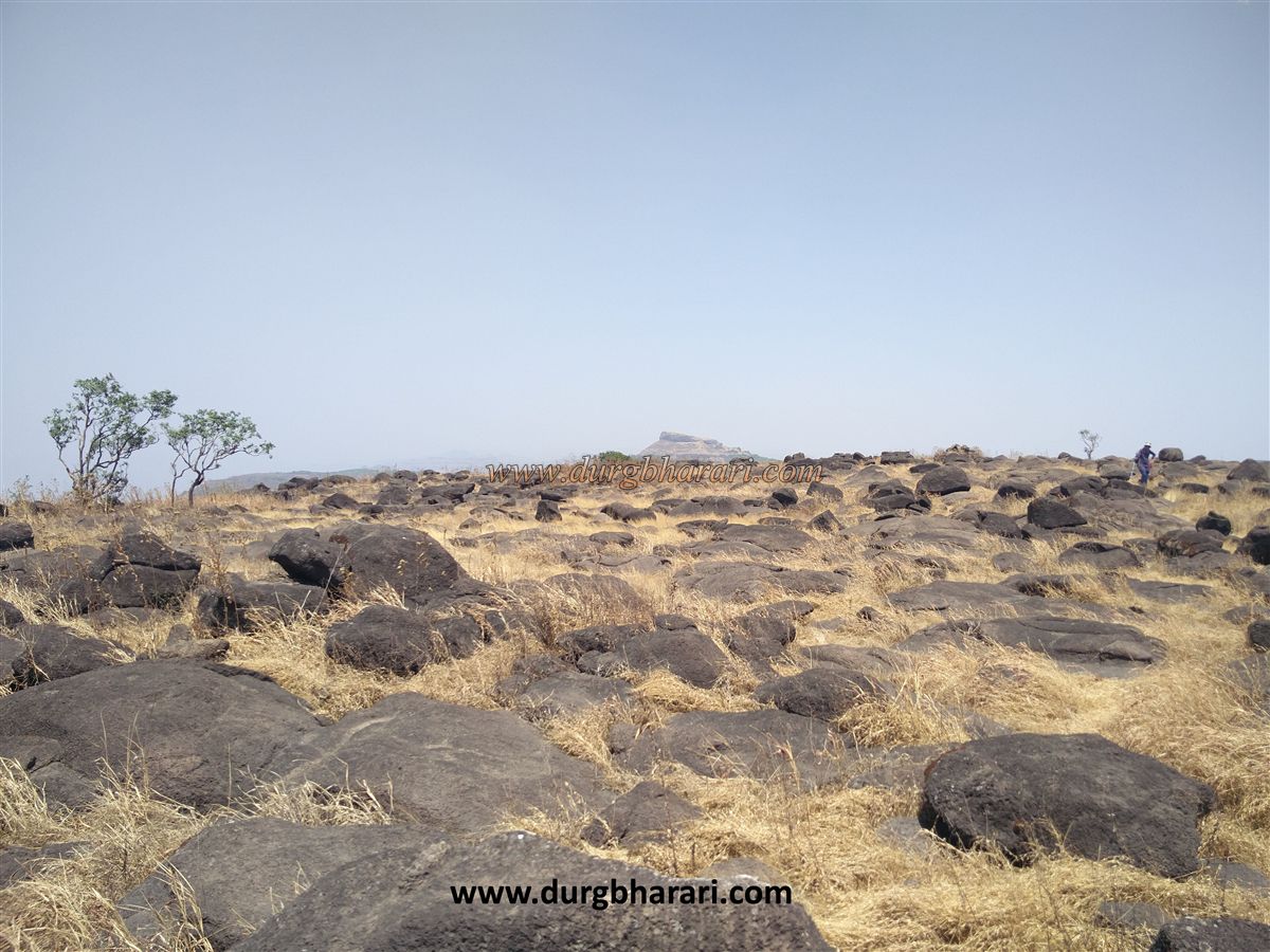
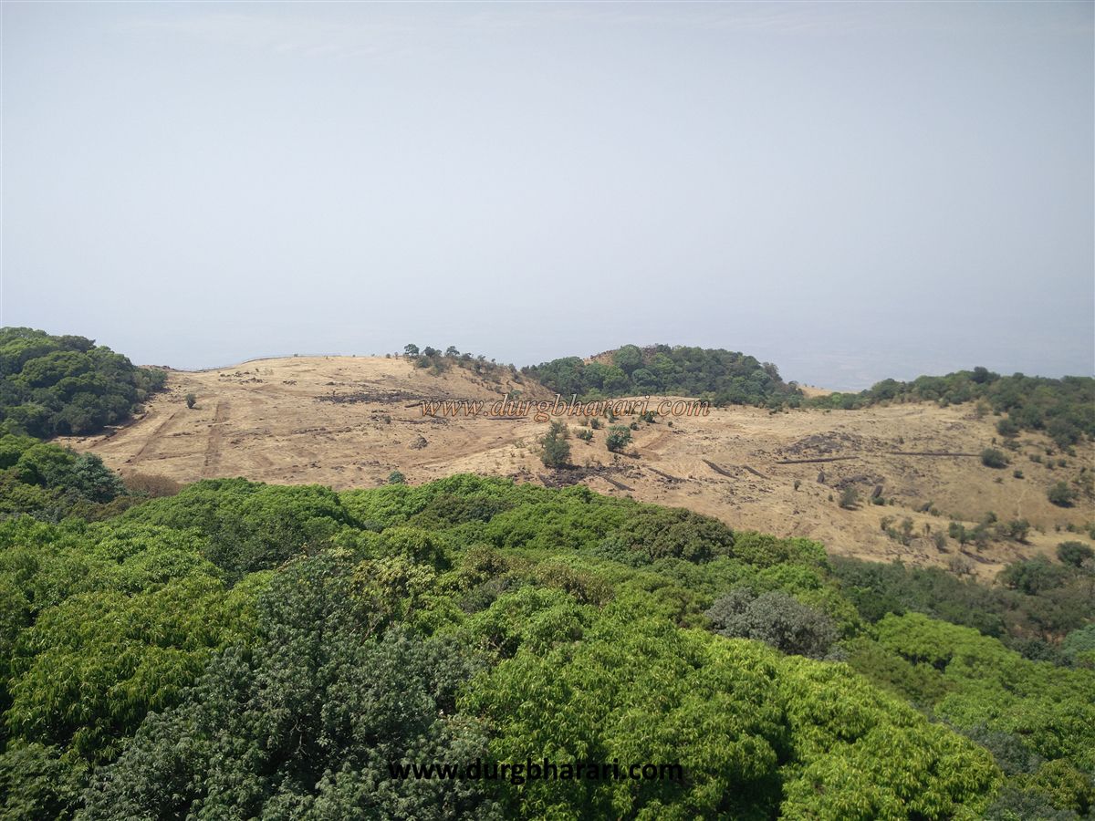
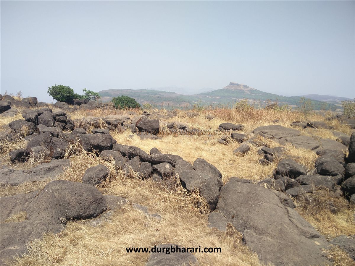
The fort is just a peak and it is wrong to mention it as a fort. To reach here from Mumbai-Pune, one has to reach the foothills of Durgawadi. The distance between Junnar-Aptale-Inglun-Ambe-Hatvij-Durgwadi is about 34 km. There is an S.T. bus facility to reach Hatvij from Junnar. Durgavadi settlement is at a distance of 1 km from Hatvij. An earthen embankment has been built at the foot of the hill to block the flow of water. Upon entering the village, the cliff top in front attracts your attention. In about 10 minutes from Durgwadi village, we reach the dense bush at the foot of the fort by a dirt road. The path to the left of the tree leads you to the well at the foot of the fort, while the path to the right leads to the Durga temple on the fort. The same path leads to the back of the Durg fort. There are thick bushes on all four sides of the half-built Durga temple and instead of idols, the temple has a stone that is worshipped by people. To develop the fort, the forest department has built five shelters for tourists in the forest at the foot of the fort hill and iron fences on the ridge at the back of the hill. There is no steep path to reach the hill of the fort, but you can reach the top of the fort in 10 minutes by walking through the thick bushes in front of the temple. The top of the fort is 3816 feet above sea level. The elliptical fort is spread over 2 acres from north to south. There are no remnants of the fort on the top and the whole top part is filled with rocks. The only source of drinking water on the fort is a well at the base. From the fort, Gorakhgad, Siddhagad, Machhindragad as well as Naneghat, Dhakoba, Daryaghat at the back of Jeevdhan, and North Konkan at the base can be seen. This is where your fort round ends. It takes half an hour to walk around the entire fort. The difficult passage is the one that goes straight down to the Konkan. As this wharf is a bit difficult, pegs have been made for support on the way, so this road is called Khutedar. The goods unloading at Kalyan port used to pass through Murbad, Vaishakhre, various wharf routes. These goods used to cross the Sahyadri line and reach the market at GhatMatha. Many forts have been built since ancient times to keep an eye on these wharf routes. The main purpose of these forts is to protect and keep an eye on these trade routes. The fort must have been used for surveillance. This place is strategic, but still, no forts were built here. It takes about 2 hours to reach Dhakoba fort on foot from Durg fort. This peak in the Sahyadri must be visited at least once.
© Suresh Nimbalkar
GALLERY