DUNDHA
TYPE : HILL FORT
DISTRICT : NASHIK
HEIGHT : 2215 FEET
GRADE : MEDIUM
Satana taluka of Nashik district was formerly known as Baglan. Even today, many refer to it as Baglan. Dundha is an unknown fort in the same Satana taluka. The fort is 2280 feet above sea level and about 900 feet from the base. Karhagad, Dundha, and Ajmera are small watchtowers within a 21 km radius of the city of Satana. Situated on the Dundheshwar mountain range, these forts were used as surveillance forts. These forts can be visited by considering the village of Satana in the center. Starting early in the morning by private vehicle, you can easily visit the three forts of Karha, Ajmera, Dundha, and the Jogeshwar temple at Deolane village in a single day. Dundha is a village at the foot of the Dundha fort, 20 km from Satana via Deolane and a road leads from this village to Lakhmapur via Talwade.
...
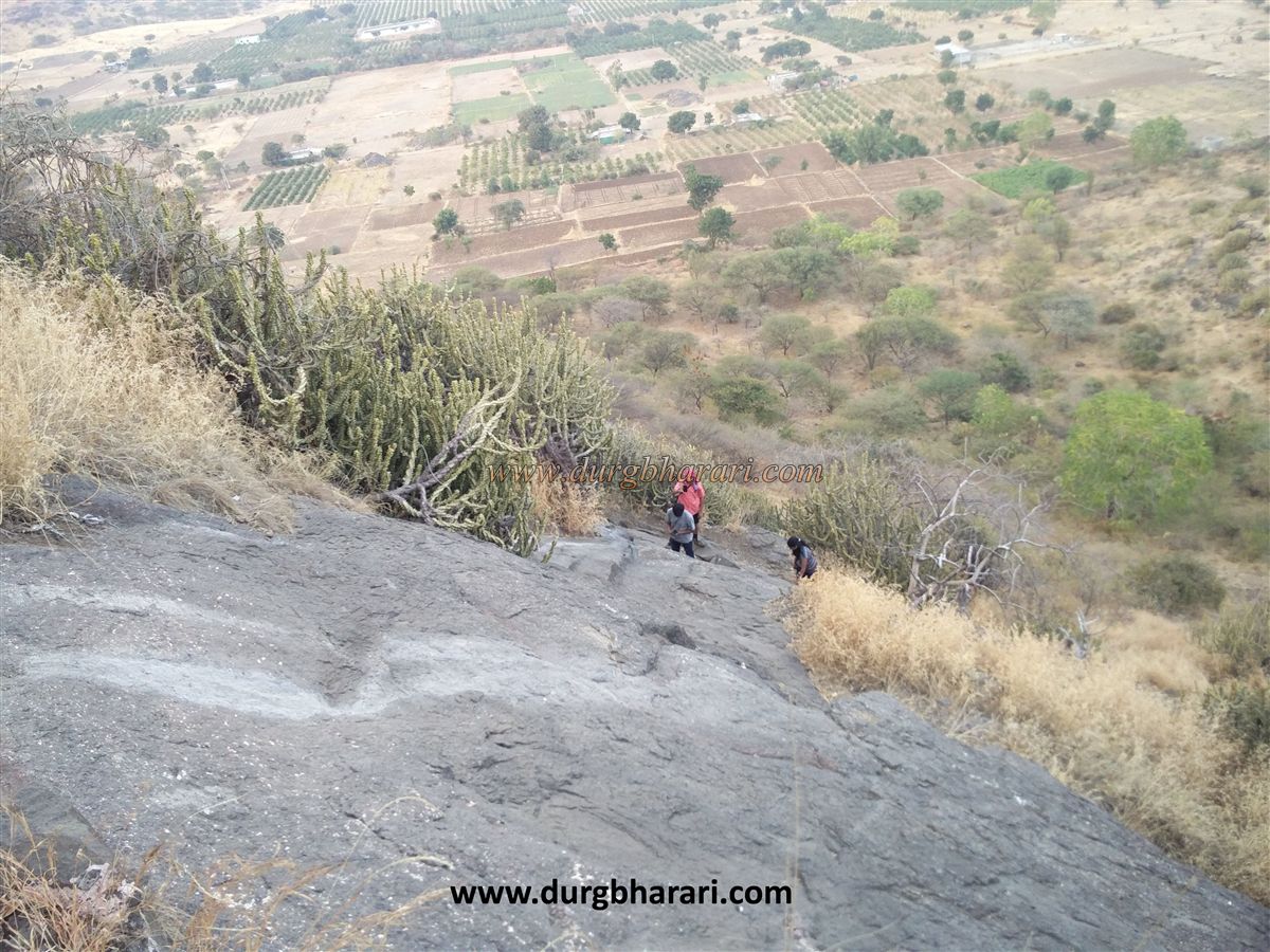
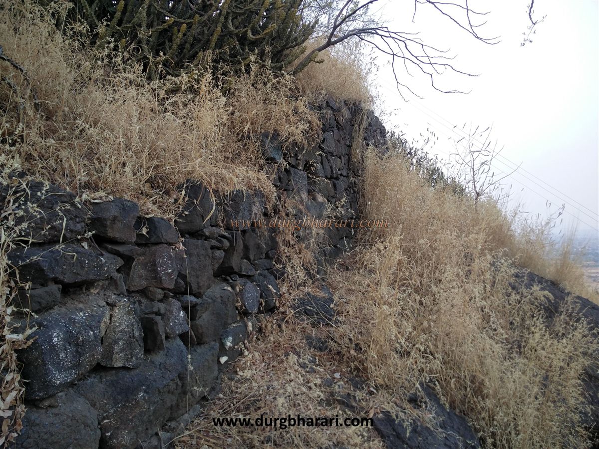
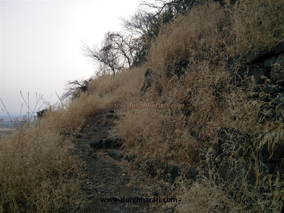
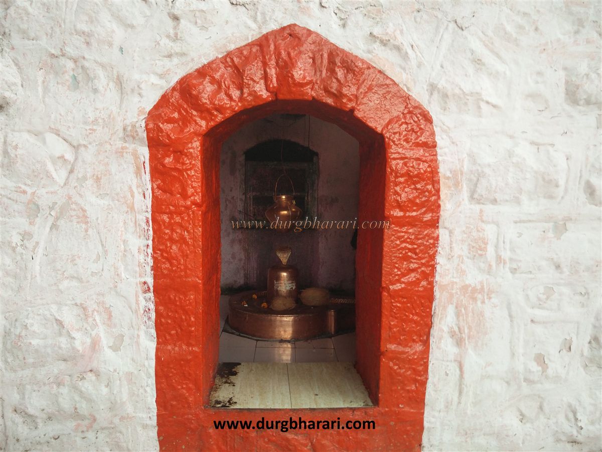
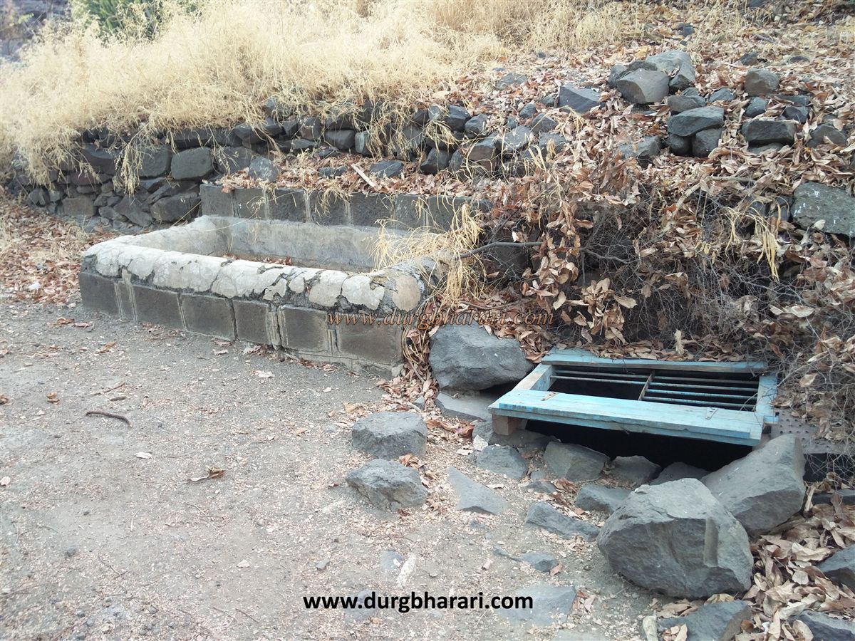
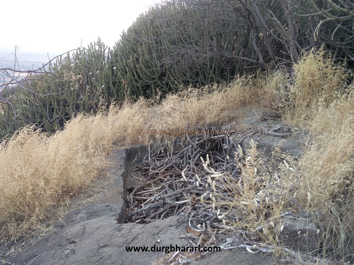
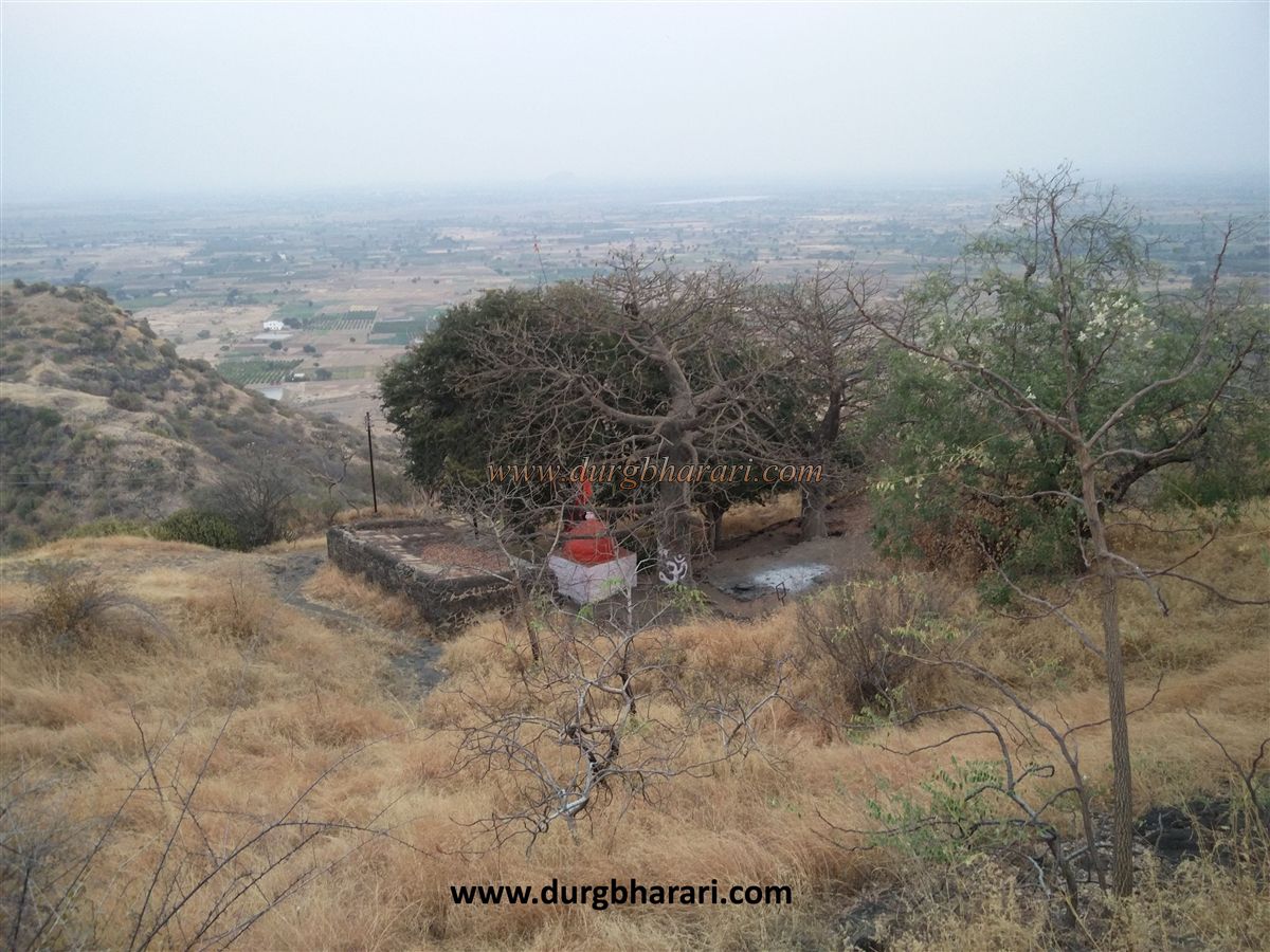
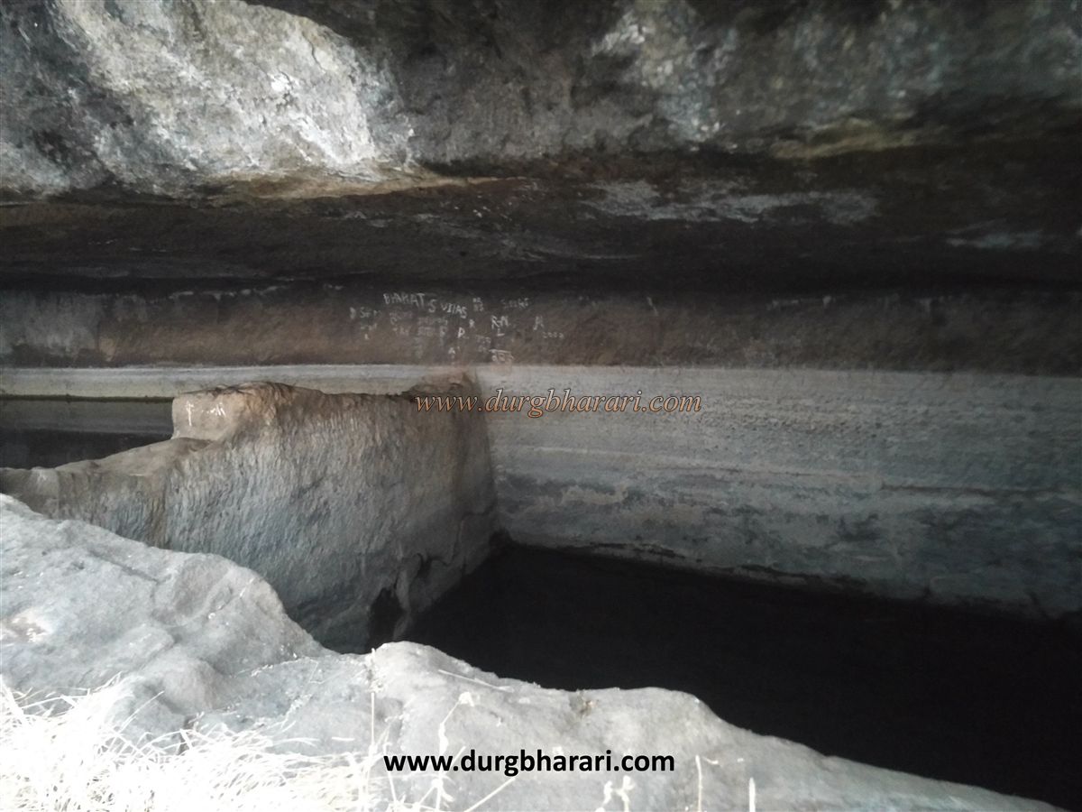
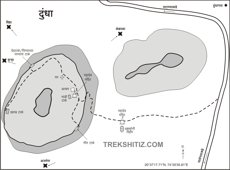
On this road, at 2 km an unpaved road leads to Dundheshwar temple. Dundheshwar Temple is located at the foot of Dundha Fort. Dundha fort is not known as a fort by the locals but as a hill of Dundheshwar Maharaj. There is an ashram near this Dundheshwar temple and it can accommodate 10 to 15 people. There is a hexagonal well at the back of the temple and its water is used for drinking. In front of the temple are two beautiful hero stones carved on all four sides which are four feet high. Dundheshwar temple is very beautiful and the way to the fort starts from the dense bush adjacent to the temple. In 15 minutes we reach the stairs carved in the rock. Within ten minutes of climbing these steps, we reach the plateau across the ruined ramparts. There are two big tamarind trees in front of it and the shade of these trees, there is a small dome temple of Lord Shiv and a stone structure next to it. Behind the temple are a small pool of water and a small stone cistern built next to it. This water is not suitable for drinking as it has a foul smell. This path leads to the top of the hill. On the way up the hill of the fort, you can see green water cisterns of 10 × 5 feet size carved in the rock. These cisterns are known as bathing cisterns. In ten minutes we reach the flagpole on the fort, but we have to be careful as this road is slippery. From the flagpole, one can see the fort's fortified top and all the surrounding area. To the right of the flag are the ruins of a mansion or a house. Since there is no footpath to proceed from here, you should come back to the temple by the way you came. Standing near the temple, two houses can be seen in front. The walkway from this house leads to the drinking water cisterns. These water cisterns are slightly below the path. This cistern is known as Devatake. The water in one of the cisterns is cool & potable while the other cistern is mossy. Going a little further from here, the path can be seen descending. There are traces of another entrance to the fort at this place. It is dangerous to follow this unused route. A little further on, there is another cistern on the left, but the water in it is mossy. No other remains can be seen on the fort. This is where your fort round ends. Due to the small size of the fort, it takes half an hour to see the remains on the fort and half an hour to reach the fort from the base. Salher, Salota, Mulher, Moragad, Ratangad, Tambolya, Mangi-Tungi pinnacles, Bishtha, Dermal, Pisol, Karha, and Ajmera can be seen from the top. Judging by the size and structure of the forts, it seems that there must have been very little settlement of soldiers. The fort, which is not mentioned in any gazetteer or book, was brought to light in 1985 by historian Girish Takle through the Vaintay Mountaineering Institute. 8 km from Dundha fort is an ancient Shiv temple in the village of Deolane and this temple and the sculptures on this Shiv temple are worth visiting.
© Suresh Nimbalkar
GALLERY