DRONAGIRI
TYPE : HILL FORT
DISTRICT : RAIGAD
HEIGHT : 785 FEET
GRADE : MEDIUM
The Dronagiri hill has been known since ancient times. According to legend from the Ramayana, during the battle between Rama and Ravana, Lakshman was struck by an arrow and fainted. To save him, Hanuman flew towards the Himalayas to bring the Sanjeevani herb. On his way back, Hanuman lifted a whole mountain but a piece of it broke off and fell near the Arabian Sea. That piece of mountain is today’s Dronagiri. Uran village, connected to the rest of the country by the important Jawaharlal Nehru Port, is well linked by State Transport (ST) buses from Mumbai, Thane, and Panvel. The distance from Panvel to Uran is about 30 km. Opposite Uran ST bus station, the Dronagiri hills rise.
Walking from the bus station toward Daur Nagar takes about 10 minutes to reach the houses at the foothills of the hill. From here starts the path leading up to the fort.
...
Initially, near the hill slope is a transformer; the path goes right, then curves left and climbs up the hill.
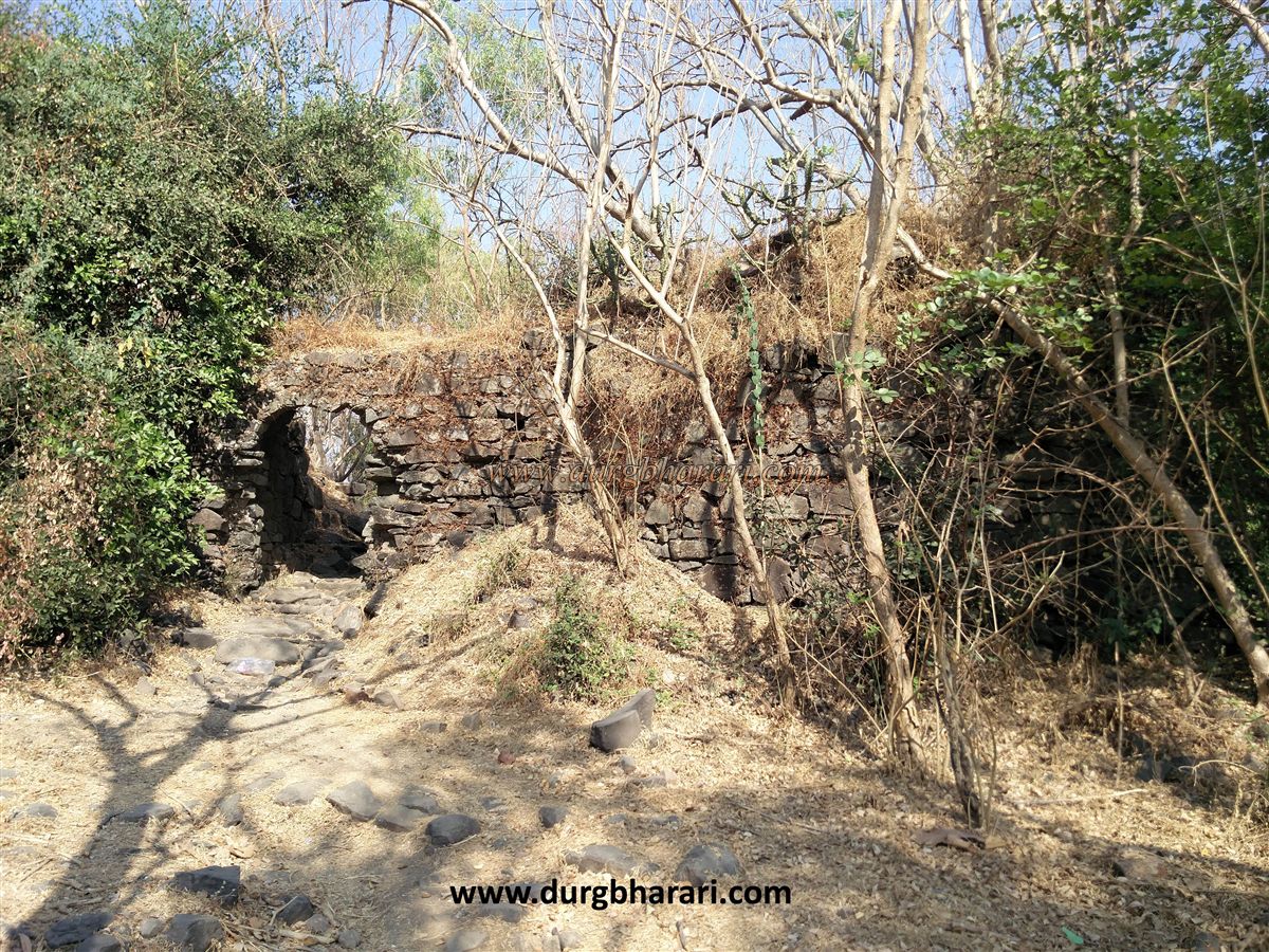
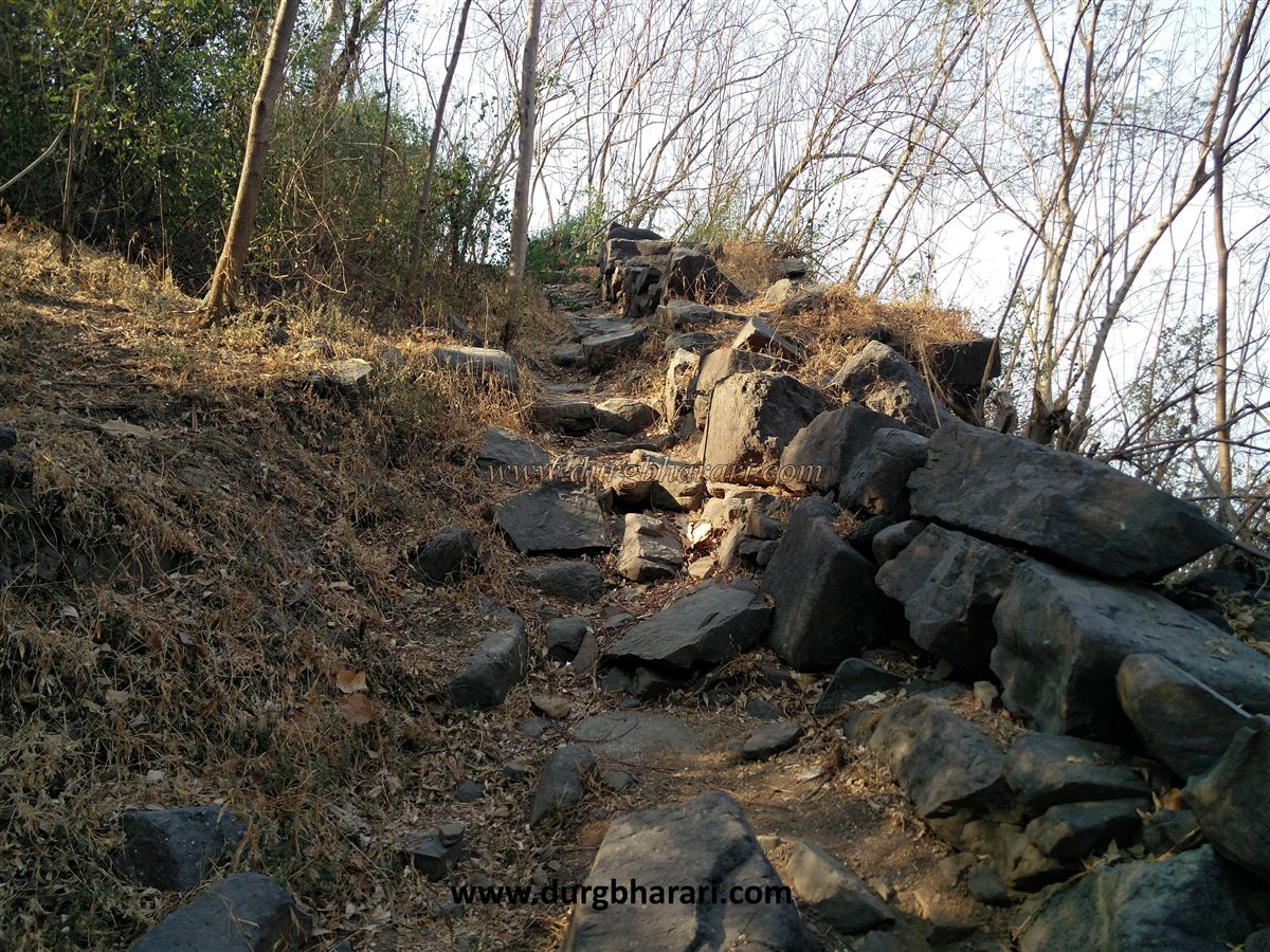
After about 10 minutes you reach a fence; crossing it, you proceed through dense forest on the right side, gradually ascending to a ridge at the hill’s right end. Starting to climb the hill from the left here takes about 10 minutes to reach some ruins, possibly a watch post.
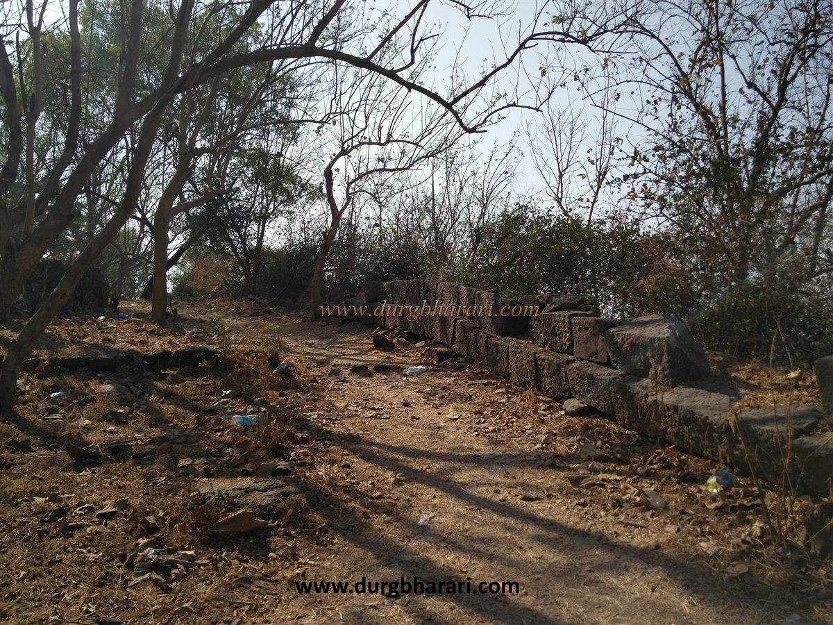
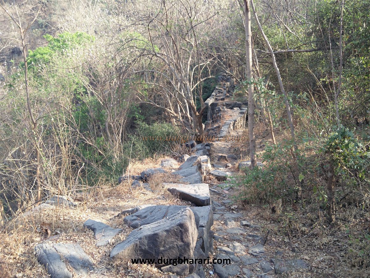
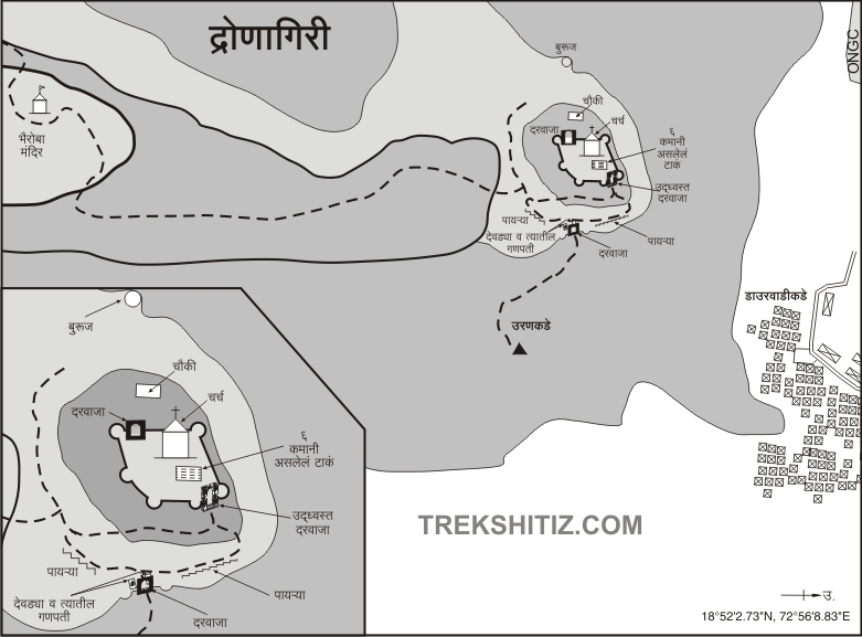
From here, after 15 minutes of climbing, you enter the fort’s machi (terrace) through a broken section of the fortification. It takes about an hour to reach here from the base.
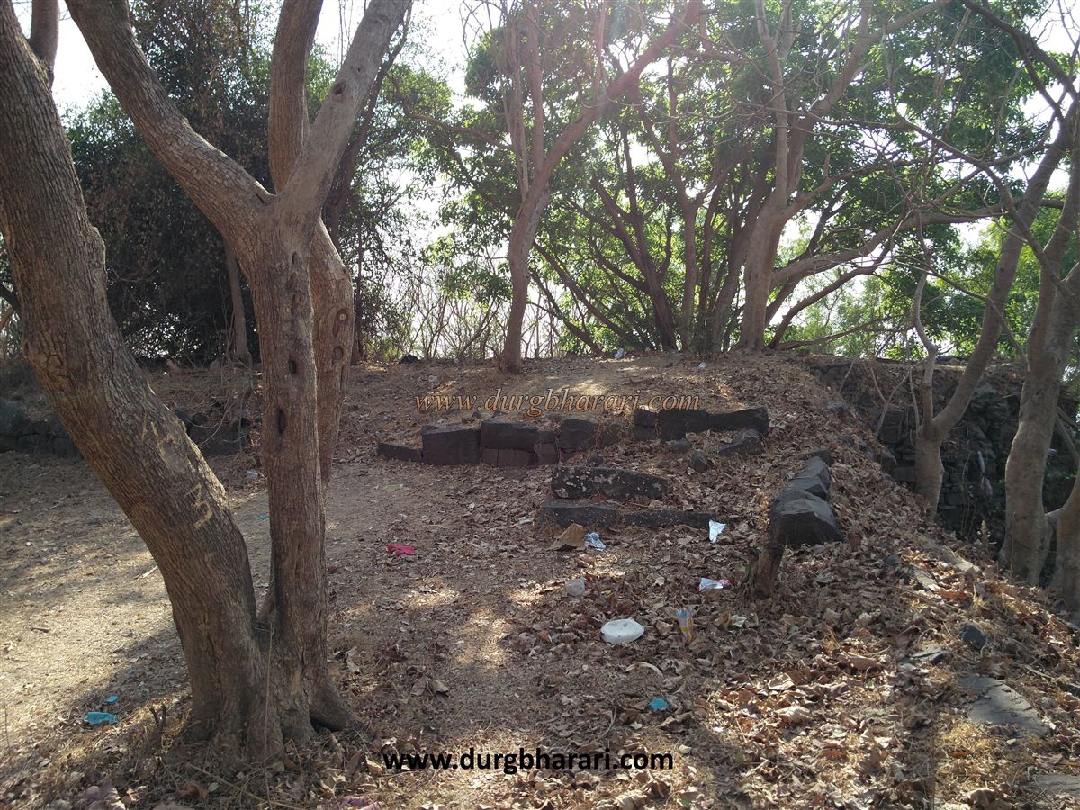
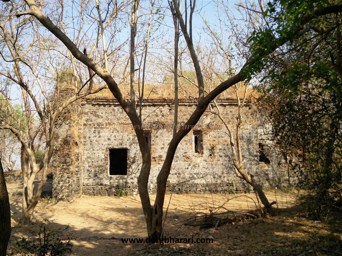
On the fort’s top, from the gate area you see ruined walls extending forward. On the right side is the burnt remains of a house, while on the left is a rainwater reservoir.
Ahead is a police outpost. Police are stationed here to keep watch on the nearby ONGC plant at the fort’s base. From the bench outside the police post, you can see the vast blue sea stretching out; to the right are Nariman Point, Gateway of India, and Girgaum; to the left, Revas, Mandwa, and behind them the forts of Khanderi and Underi are visible.
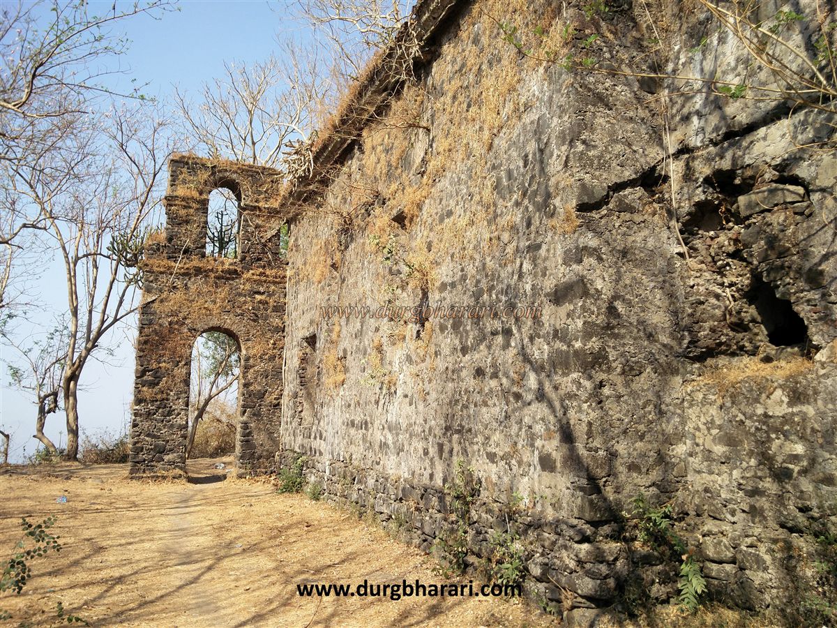
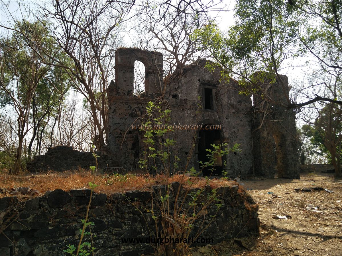
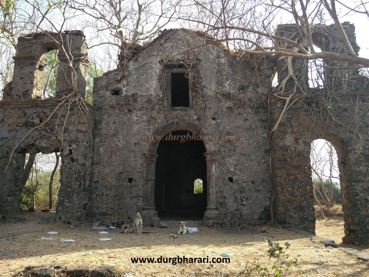
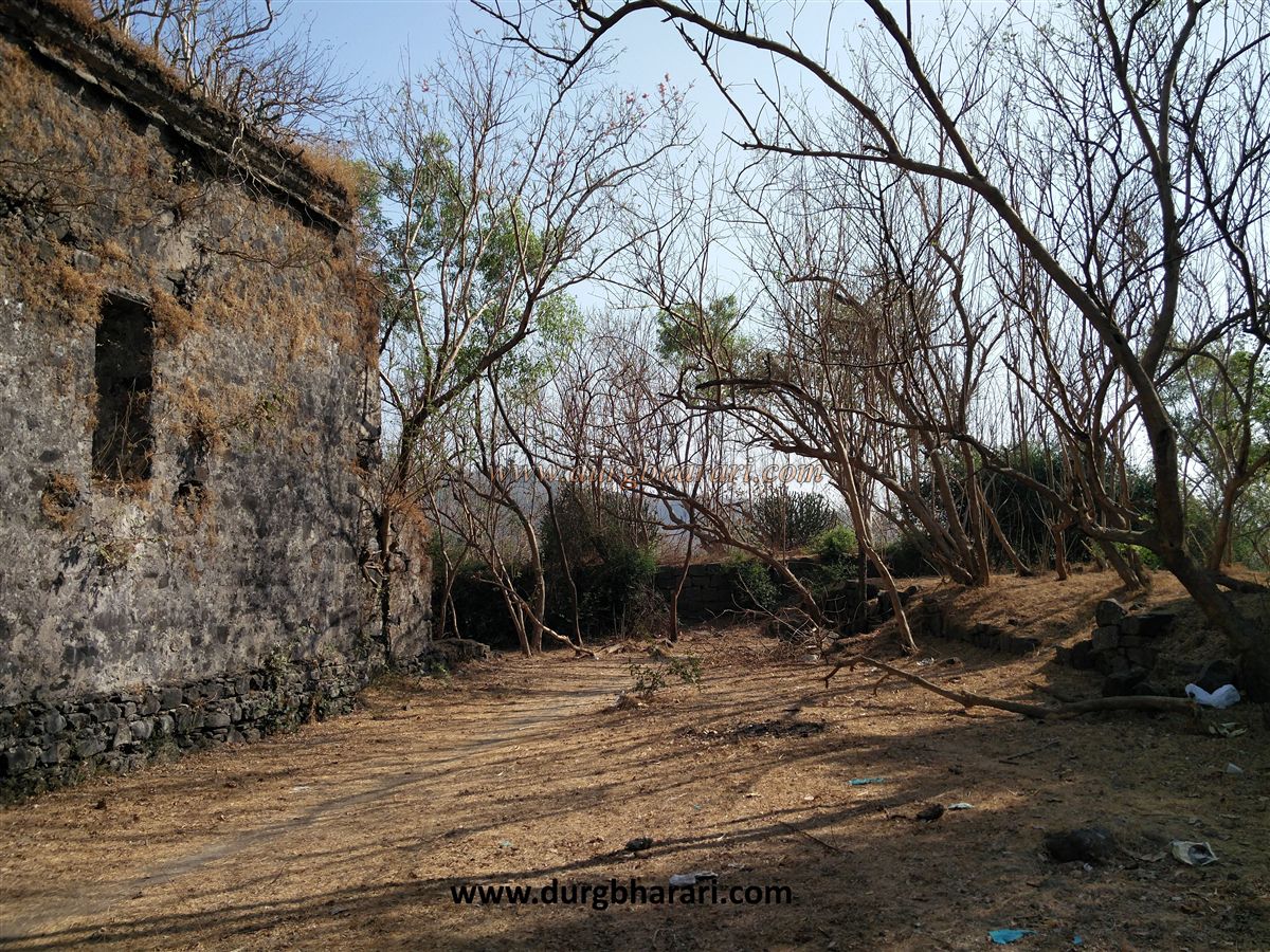
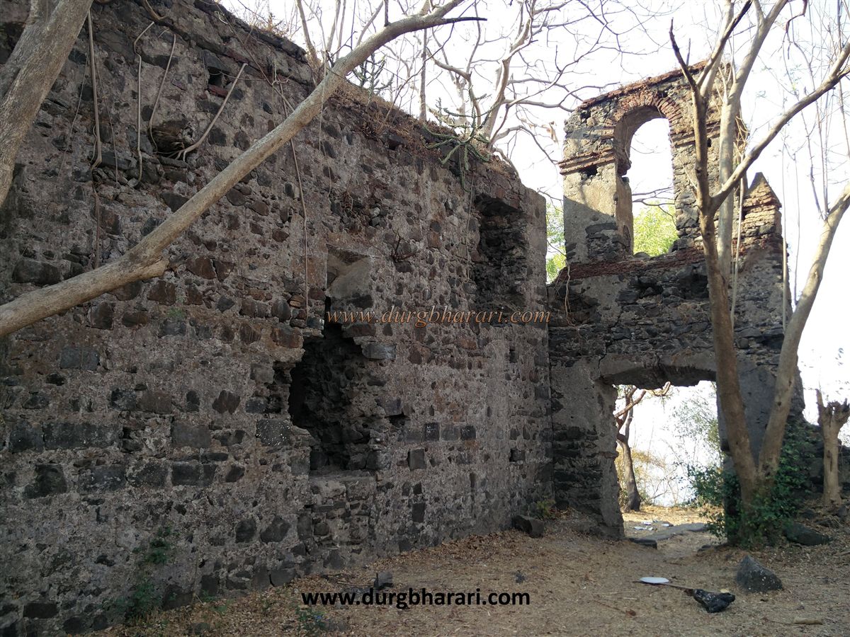
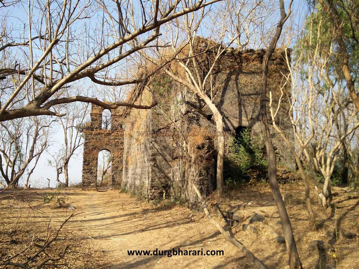
Behind the police post is the fort’s balekilla (main citadel) wall, which has a small arched rear entrance. Entering here, on the left is a Portuguese-built church. There used to be two other churches on the fort, but their locations and remains are unknown. The church’s architecture clearly reflects Portuguese style, with an entrance about 12 feet high, windows, and balconies.
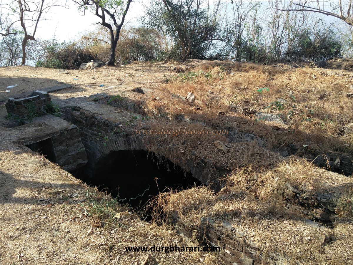
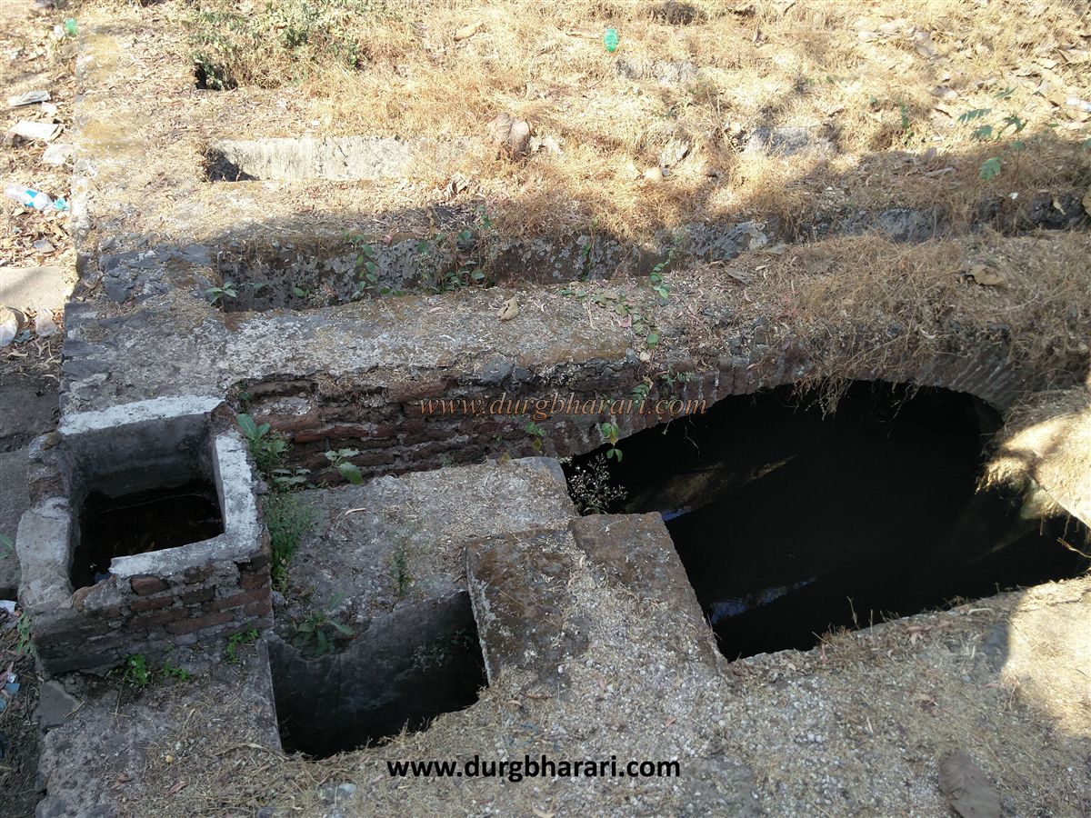
Adjacent to the church are two separate water tanks called Gagoni and Gijoni. They have brick arches with horizontal wooden beams above, which used to cover the water surface to reduce evaporation and prevent debris contamination. However, today the tank water is not potable.
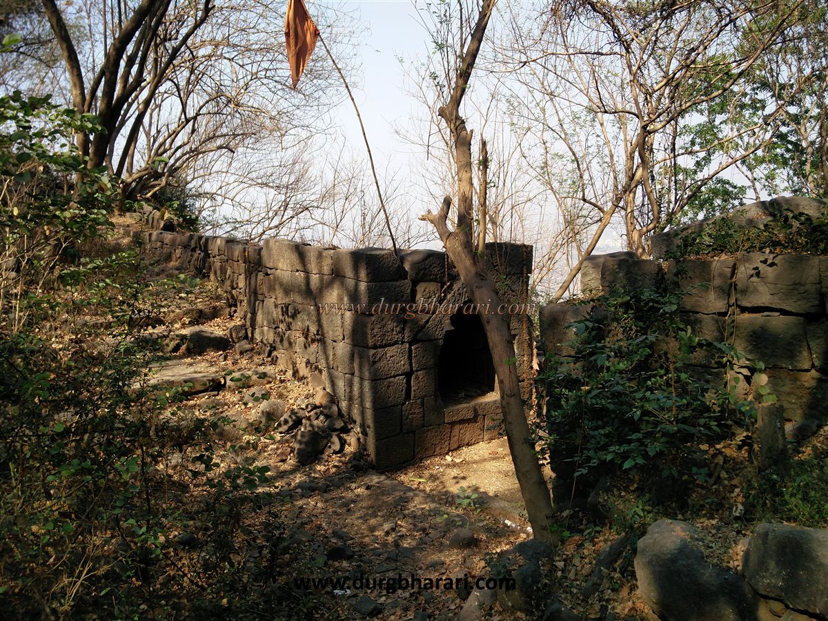
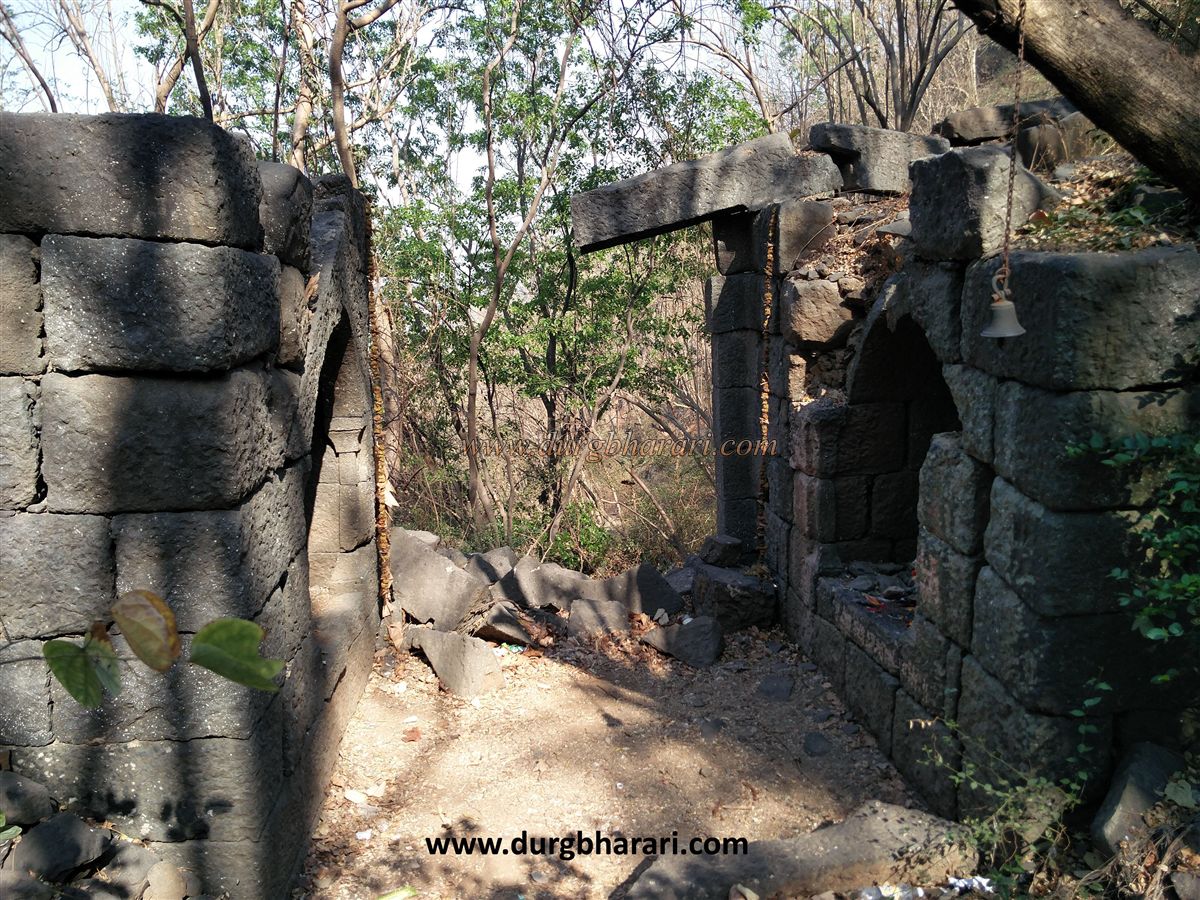
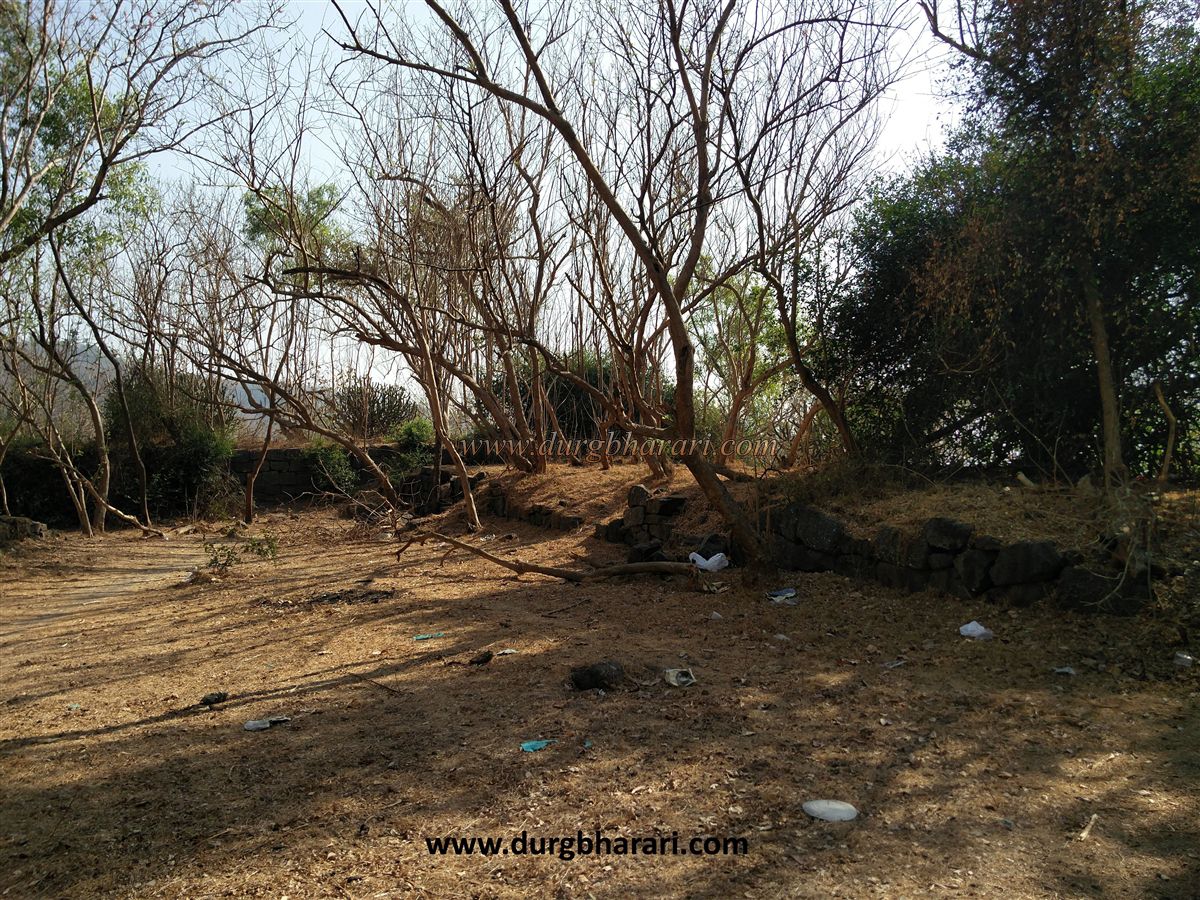
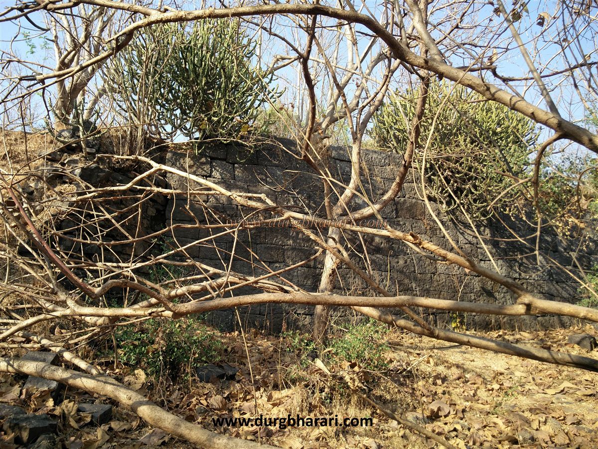
The balekilla is square-shaped with four bastions at the corners and a battleground (ranmandal) design at the entrance. The walls are built by stacking stones without mortar. The northern gate of the ranmandal has a ruined arch and collapsed bastions on the sides. Stairs lead down from this gate to the main entrance below, which has a partially collapsed arch and a ruined bastion on one side.
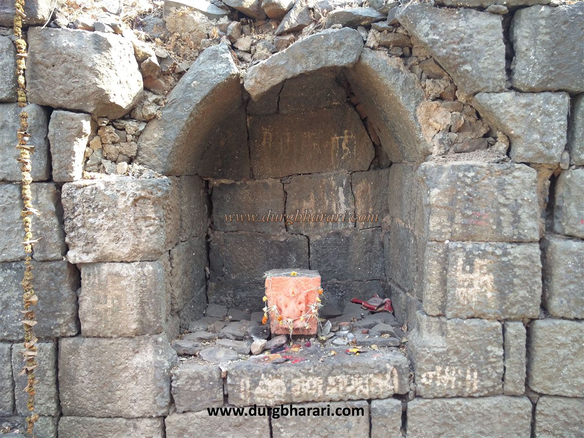
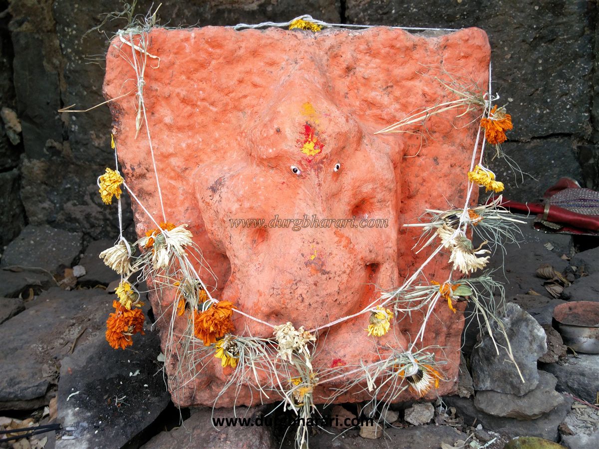
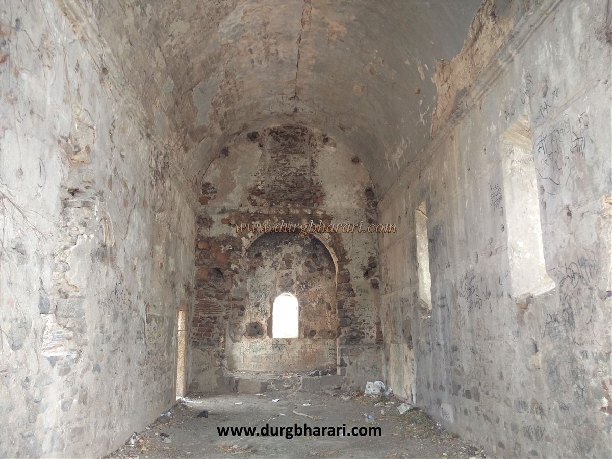
Inside the gate are well-preserved guard rooms; the right one holds a carved Ganpati stone, which probably once adorned the main gate’s center. These stones were fixed in the arch during construction.
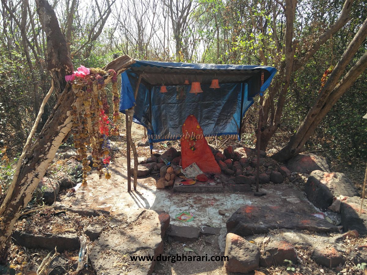
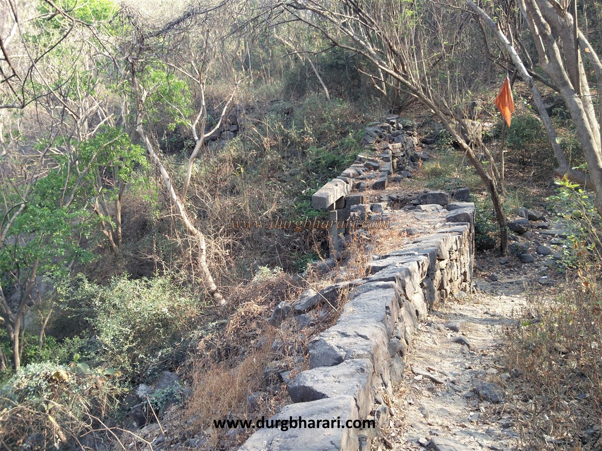
After viewing the main gate, turn back and climb the stairs. After the stairs, take the left path, which leads directly to a dense forested hill with an orange flag on top. Walking toward the flag along the narrow path for 10 minutes brings you to the Vetal temple. A red stone about 2.5 feet high stands here under a tin roof.
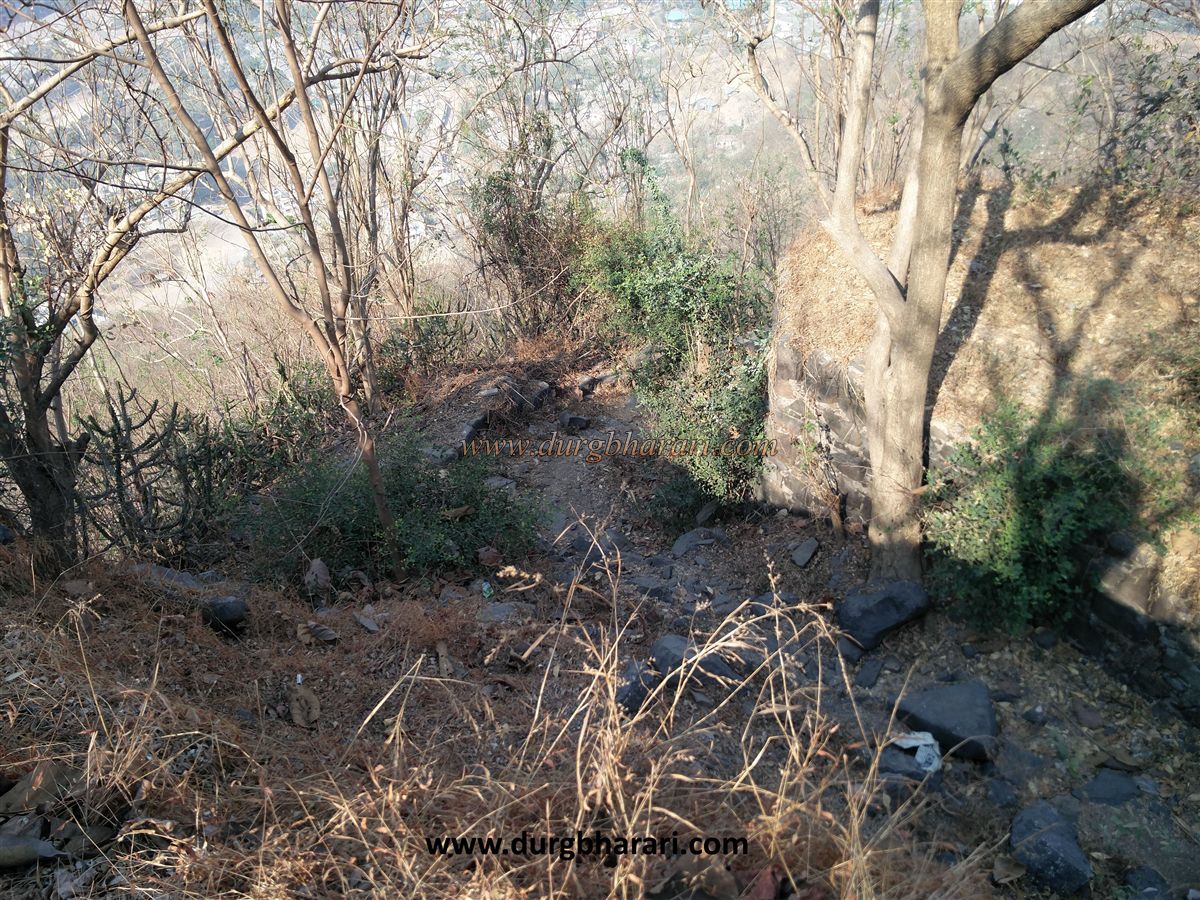
From the back path of the temple, after a short distance, you reach a second rainwater tank on the fort. The fort’s plateau is quite large, but no other ruins are visible due to heavy vegetation. Returning from the tank ends the fort visit. The fort is small enough to be explored in about one hour. Since ancient times, Uran has been famous as a port. For its defense, fortifications were built around Uran village, and Dronagiri hill on Karanja Island was fortified to protect the port. An inscription from the Satavahana period mentions the nearby Mor village near Uran.
Early 7th-century records mention Pulakeshi Chalukya conquest of Maurya’s Girgaon (Girgaum) as the capital, located near Uran. It is likely that the Dronagiri fort on Karanja Island was built to protect Uran port near Girgaon.
The Dronagiri fort came under the control of the Yadavas of Devgiri. In 1530 AD, the Portuguese plundered the fort. In 1535, the priest Antonio do Porto built three churches on the fort: Nosa Senhor, N.S. da Penha, and St. Francisco.
During the 16th century, the fort was briefly under the Adilshahi Sultanate, and later passed to the British. For the defense of Mumbai Island, the forts of Girgaon, Uran village, and Dronagiri on Karanja Island were strategically important.
On March 10, 1739, Manaji Angre captured Uran fort and Dronagiri fort from the British.
Due to the rapid urban expansion in the Daur Nagar area, Dronagiri hill is currently under threat of destruction. In recent years, non-local interests have begun to encroach on this historic hill, endangering its ancient glory.
© Suresh Nimbalkar
GALLERY