DHAKOBA
TYPE : HILL FORT
DISTRICT : PUNE
HEIGHT : 4051 FEET
GRADE : MEDIUM
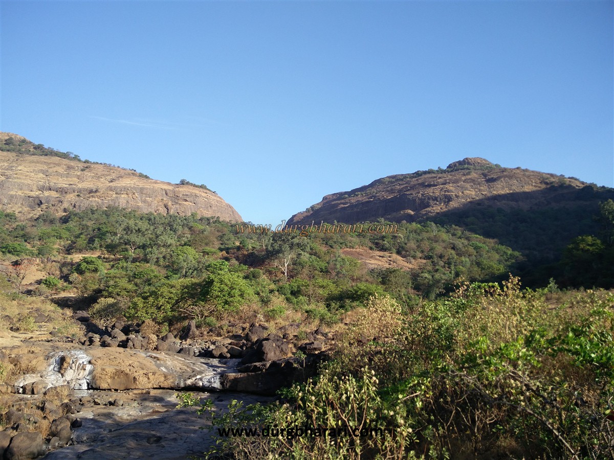
While exploring the forts in the Sahyadri, the question of why some peaks should be called forts comes to mind. Sometimes the existence of the fort is proved by relics in the place or by a glimpse of the history, but at some places, no proof could be found and our question remains unanswered. One such unanswered question is Dhakoba fort. The fort was built in the Malshej mountain range on the banks of the Darya Ghat in the Junnar area to keep an eye on the Darya Ghat which is to the south of Naneghat and Jeevdhan. It is said that the main purpose behind the construction of these forts was to keep an eye on these ghats. Dhakoba is just a peak, mistakenly referred to as a fort. To reach here from Mumbai-Pune, one has to reach the foothills of Amboli. The distance between Junnar-Aptale-Amboli is about 21 km. There is an S.T. bus facility to reach Amboli from Junnar.
...
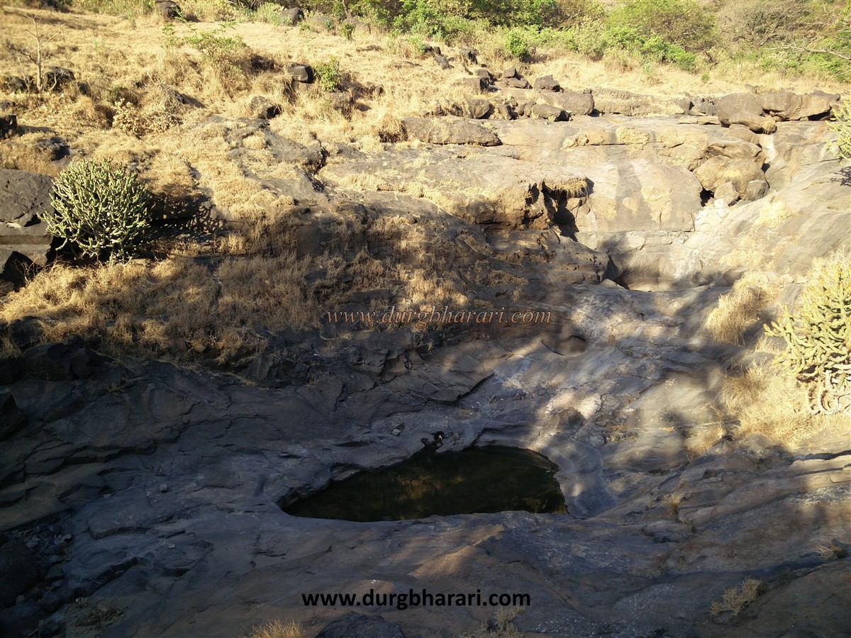
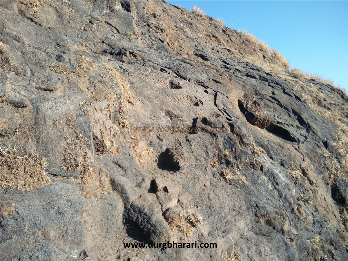
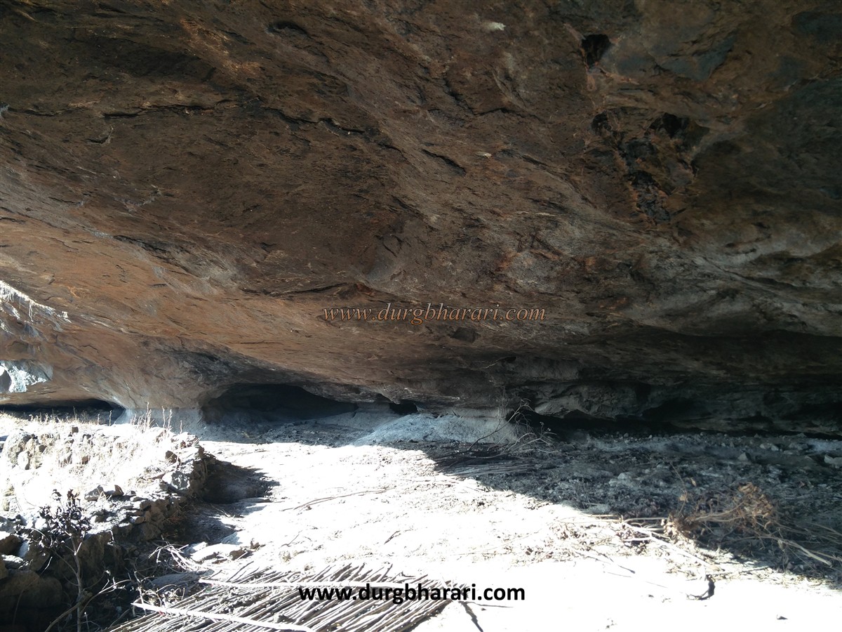
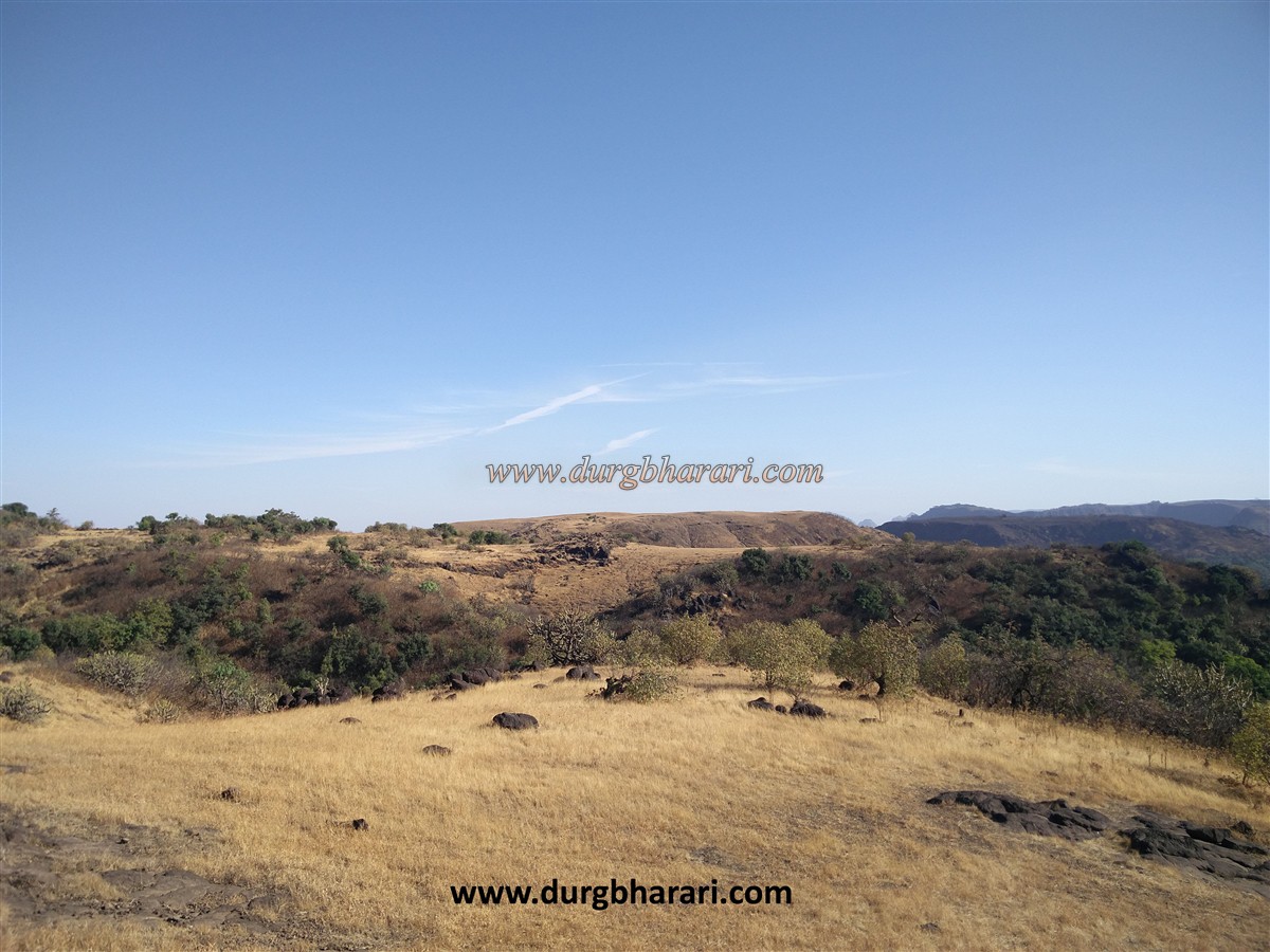
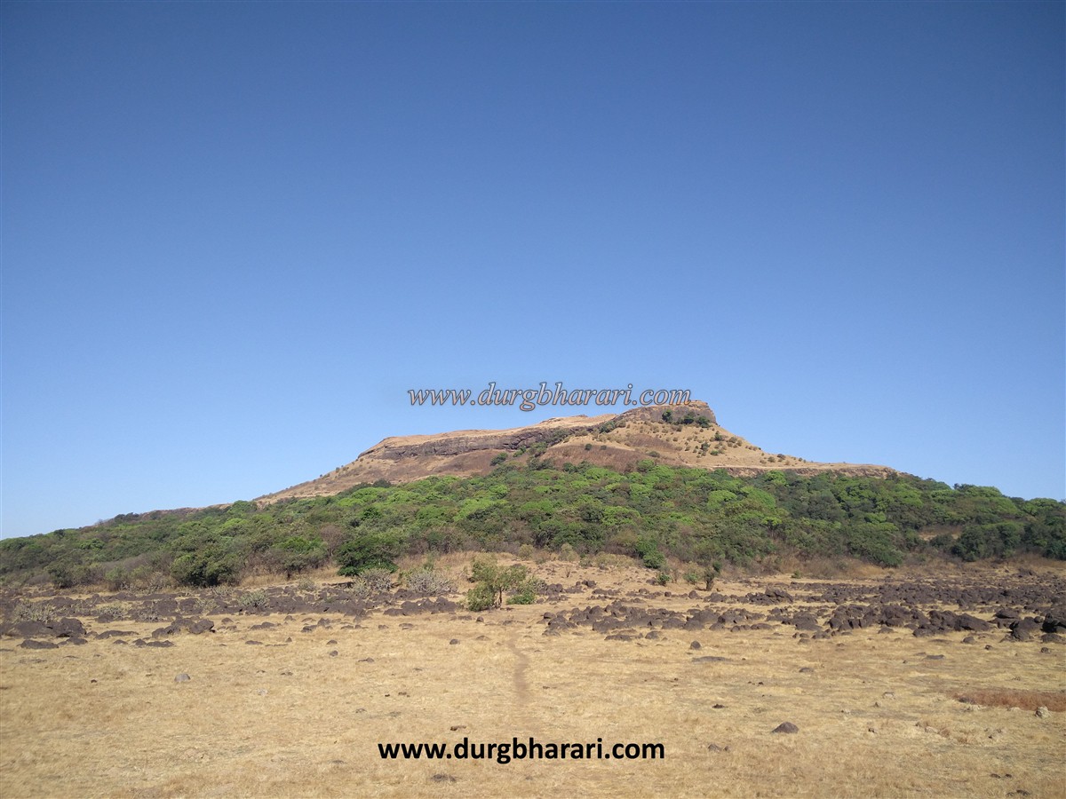
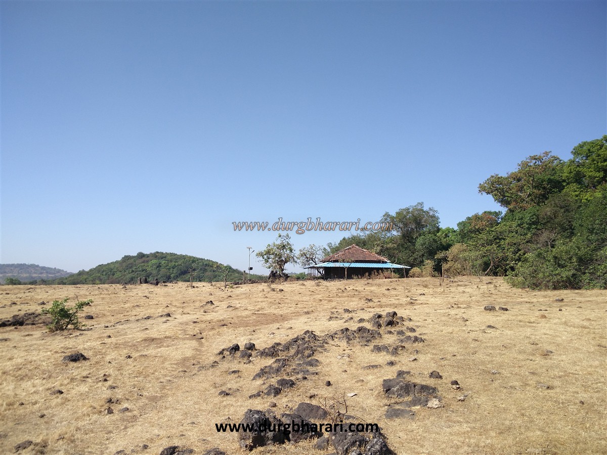
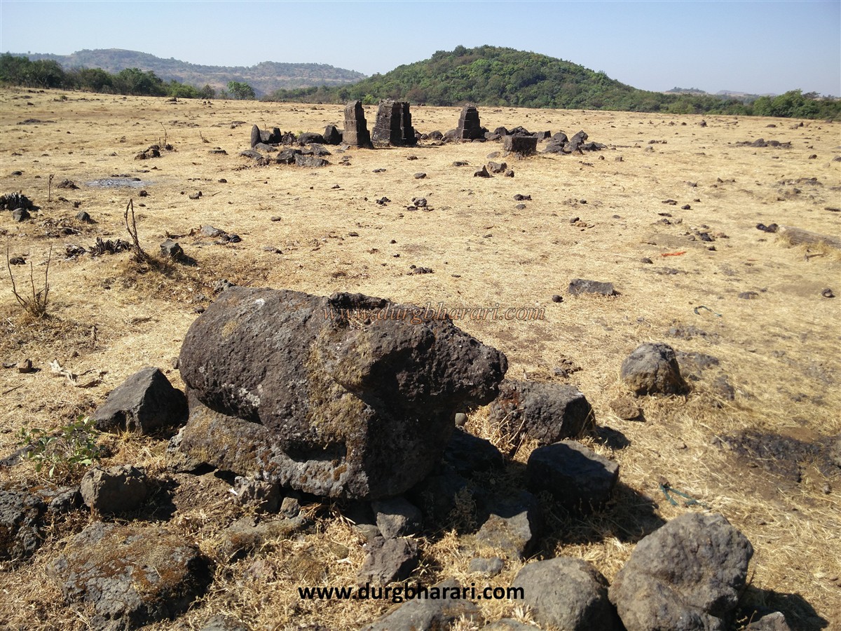
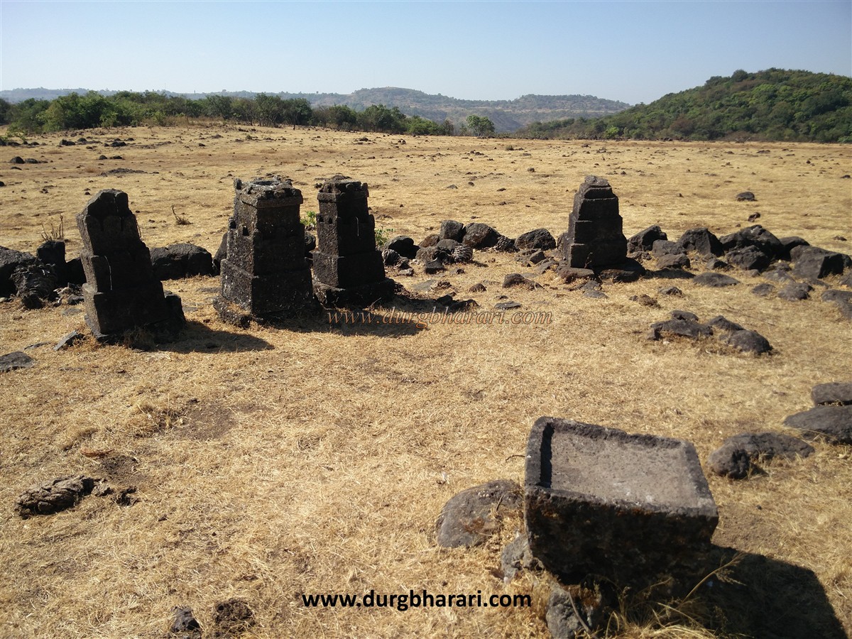
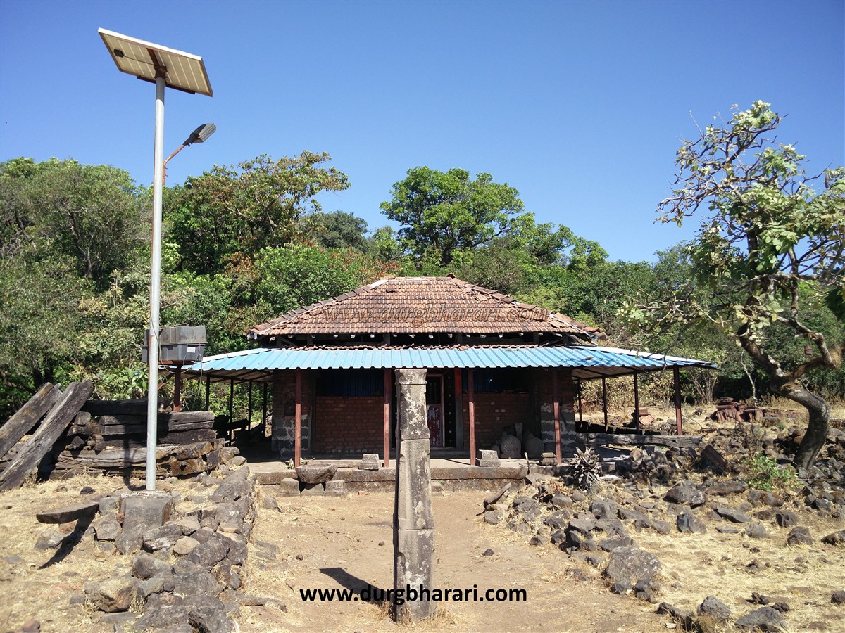
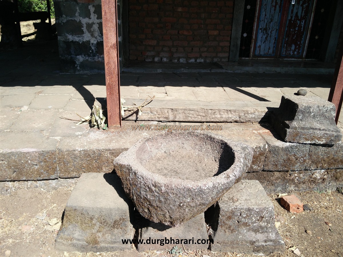
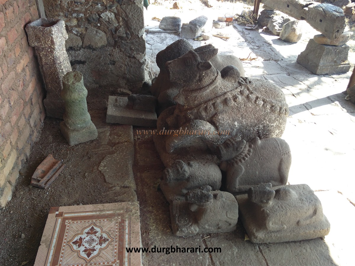
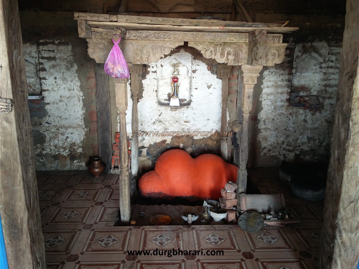
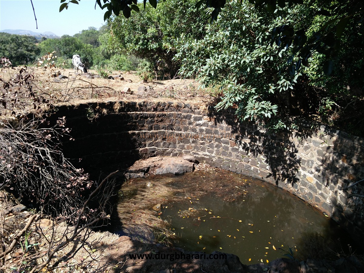
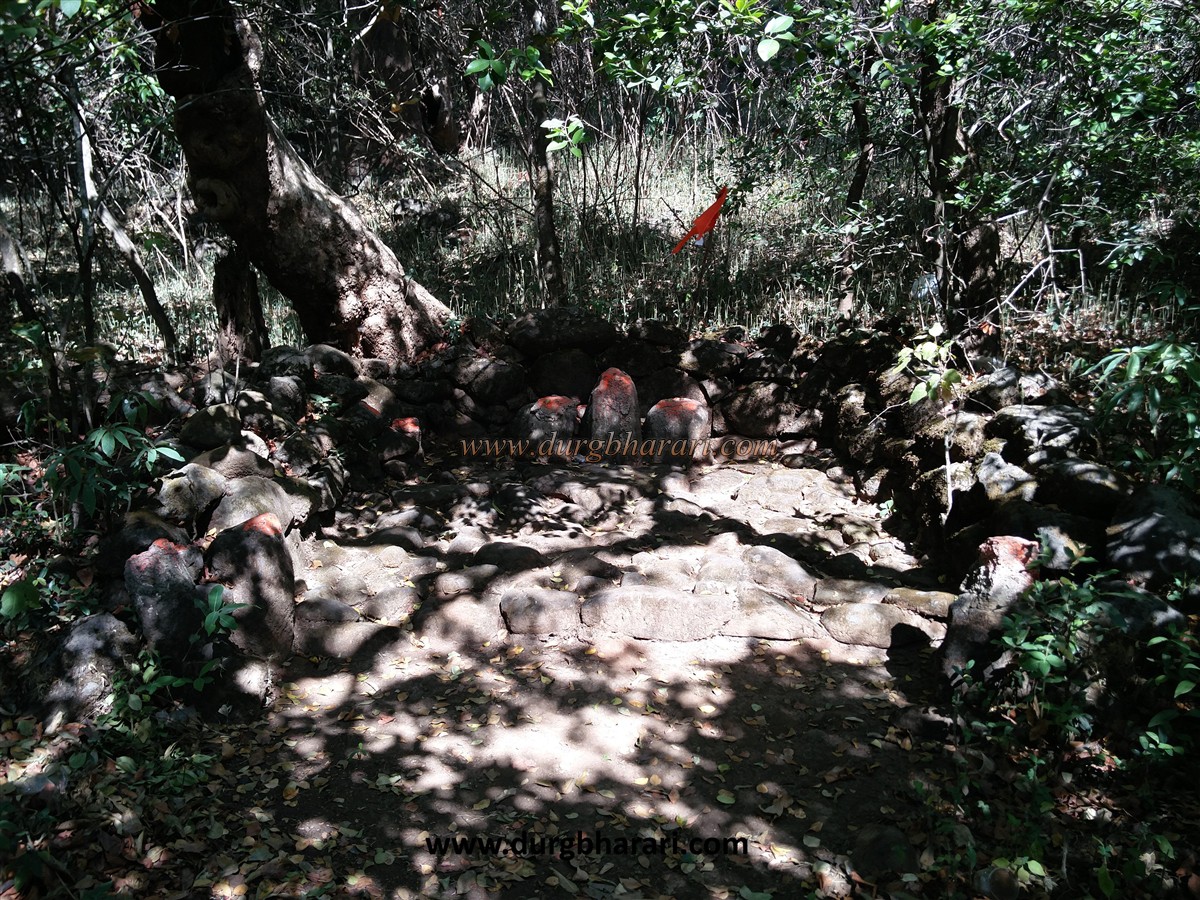
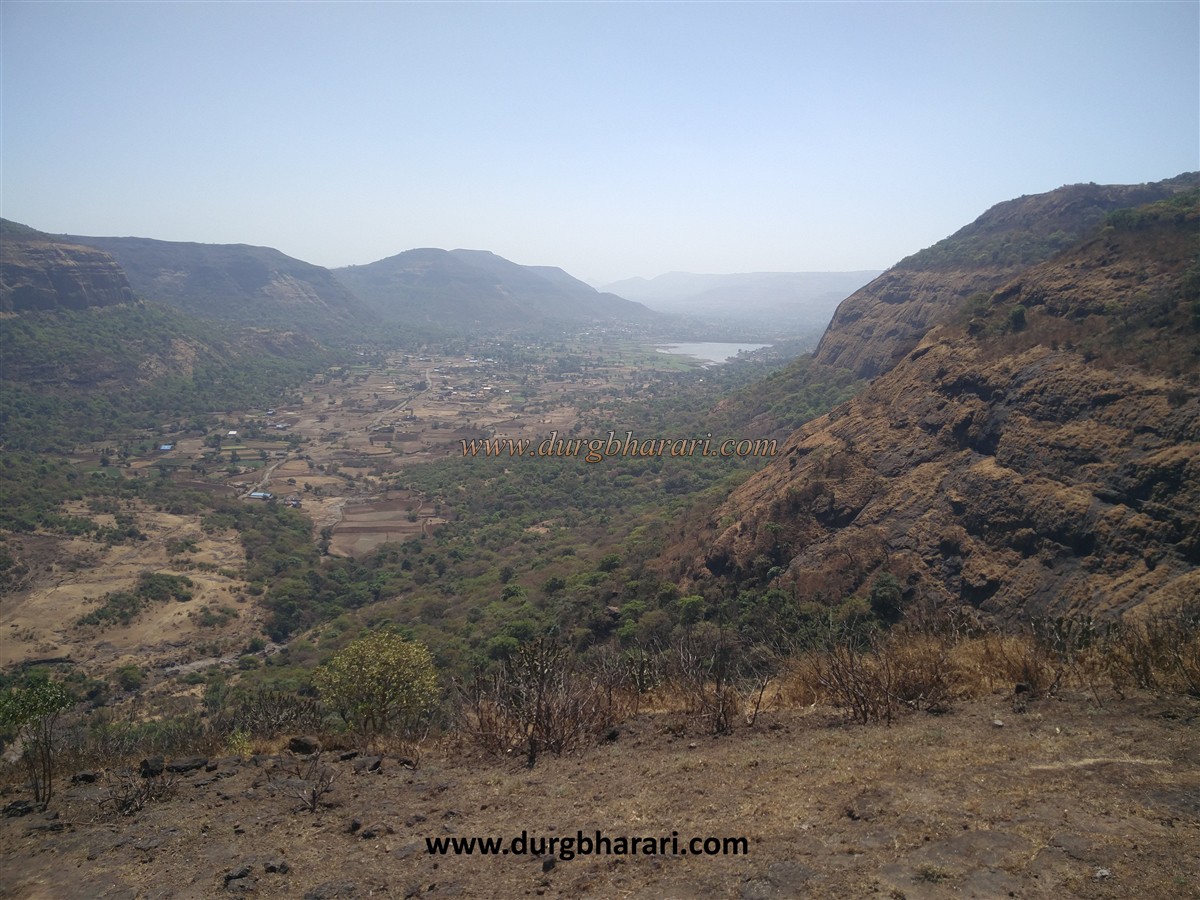
Upon entering the village, the cliffs of Dhakoba peak and the cave in its belly catch your eye. On the way to the foot of the hill from the village, on the left side, you can see an old water cistern carved in the rock. Behind the Ganapati temple at the foot of the hill behind the village, a path leads to Darya Ghat. After walking a little along this path, you come across a fork. After crossing some distance along this path, you can see some patches carved in one or two places to climb the rock. If you keep walking along this path to the right of Darya Ghat, you will see a natural cave in a short time. During the rainy season, the villagers use this cave to shelter their animals. It takes one hour to climb Dhakoba and half an hour to reach the plateau from this cave in Dhakoba's belly. On reaching the plateau, on the left side, you can see a dry lake. There are two main footpaths in this place, one of which leads to the temple of Dhakoba on the left and the other to the right leads to the foot of Dhakoba fort. On this path to the right, there is another path that leads straight up to the hill of Dhakoba. Here a path to the left descends the hill to the temple of Dhakoba. From here it takes half an hour to reach the head of the fort. Dhakoba's top part is 4148 feet above sea level. One side of the Dhakoba fort is the Konkan and in the front is another fort called Durg. There are no remnants of the fort at Dhakoba, but it must have been used for surveillance. From Dhakoba fort, one can see Naneghat and Daryaghat at the back of Jeevdhan and North Konkan at the base. After descending from the top of Dhakoba, the path on the left leads down to the temple of Dhakoba on the plateau. The Dhakoba temple has a tiled roof and has wooden carvings on the inside. An idol with shendur applied to it is kept inside the temple. In front of the temple, there is a small simple stone lantern and some Samadhi stones, a stone basin and a worn-out Nandi is lying in the open. There is a well at the back of the temple and it has potable water all year round, so this temple is the only place to stay overnight at the fort. There are some broken idols on the temple premises and in the forest behind the temple, two or three idols with shendur applied on it can be seen. This is where your fort round ends. It takes an hour and a half to walk around the entire fort. The goods unloading at Kalyan port used to pass through Murbad, Vaishakhre, various ghat routes, cross the Sahyadri line and reach the market at the top of the Ghat. Many forts here have been built since ancient times to keep an eye on these routes. The main purpose of these forts is to protect and keep an eye on these trade routes. Dhakoba fort and other forts in this region must have been used for surveillance. Although the place is strategic, no forts have been built here. You should visit this peak in Sahyadri at least once.
© Suresh Nimbalkar
GALLERY