DEHERGAD
TYPE : HILL FORT
DISTRICT : NASHIK
HEIGHT : 3297 FEET
GRADE : MEDIUM
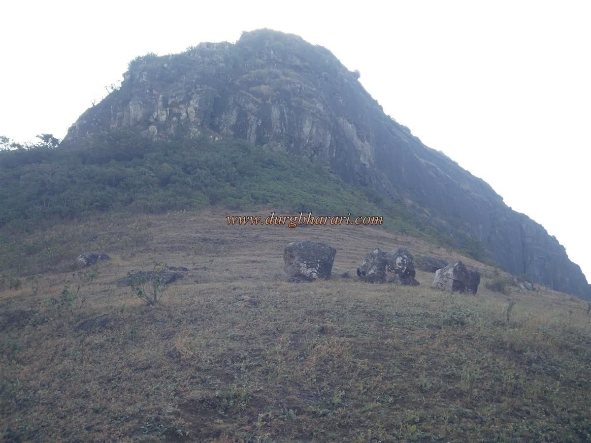
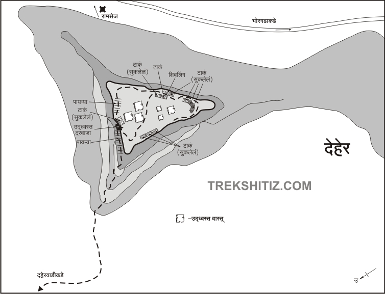
Ramshej fort in Dindori taluka of Nashik district is well known in history and also many tourists visit this fort due to its five and a half years of struggle with the Mughals, but its companion Dehergad, which is close to this fort and a part of this struggle, is neglected and people are unaware of the history of this fort. The forts of Dehergad and Bhorgad are located in front of the Ramshej fort. Both Dehergad and Bhorgad forts are on the same hill and are separated by two small pinnacles. The road to Bhorgad takes a detour to Dehergad. We should not waste much time on this fort as this area is a restricted area, therefore, the villagers of Deherwadi advise us not to stay at the fort for long. You can easily reach and explore Dehergad. Deherwadi is a village at the base of the fort, 21 km from Nashik.
...
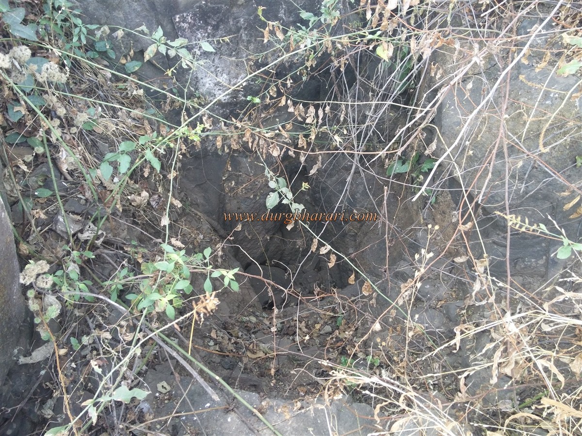
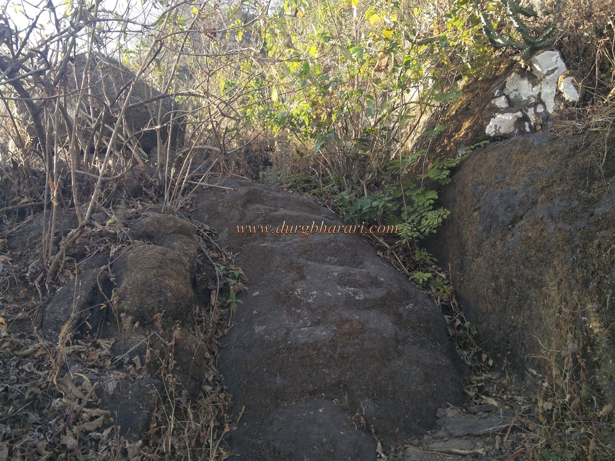
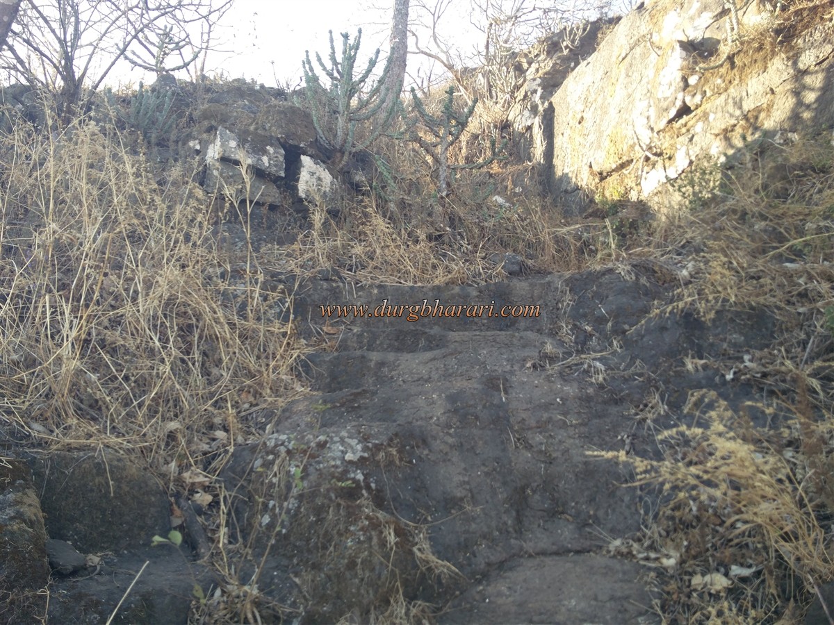
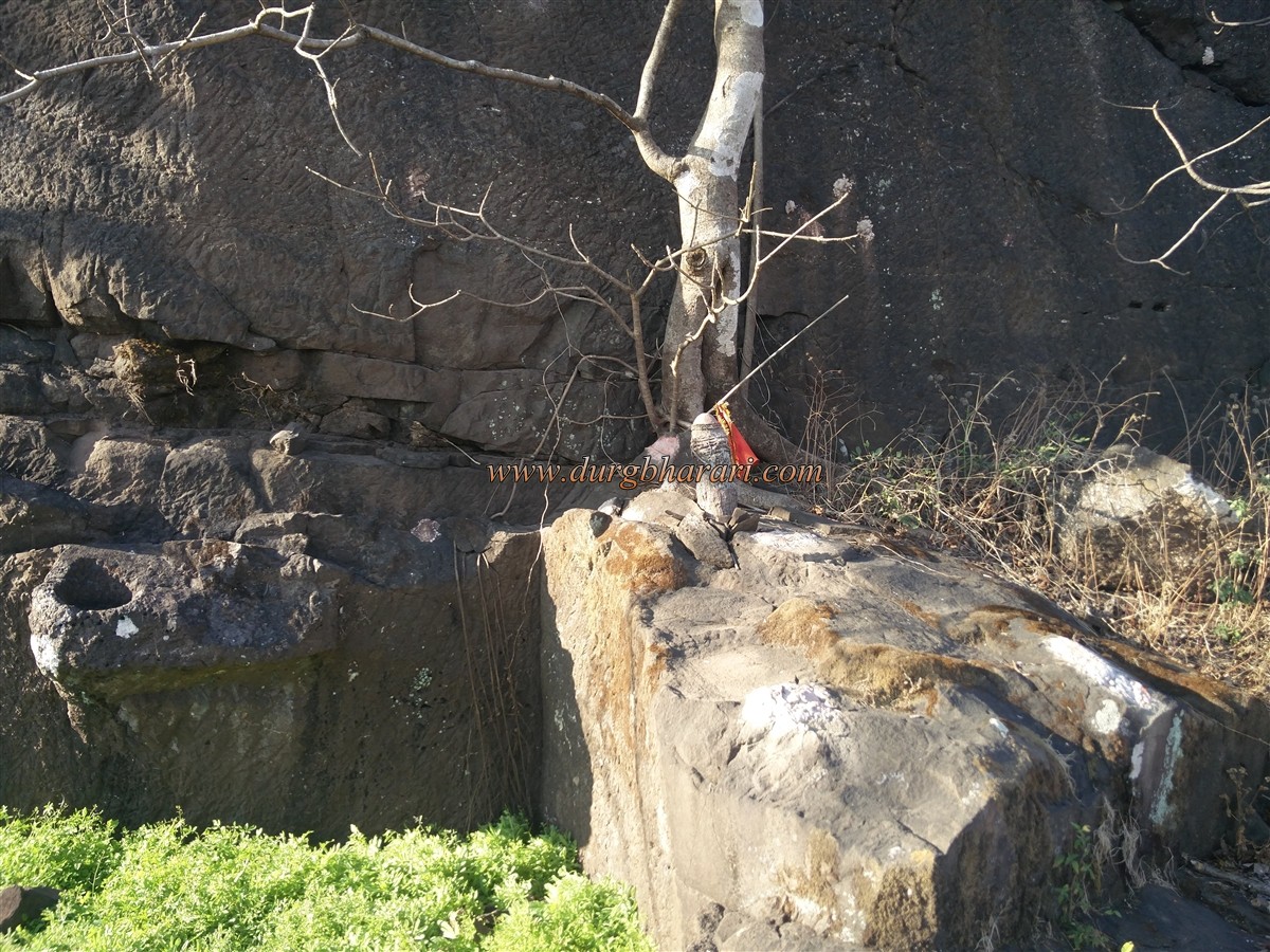
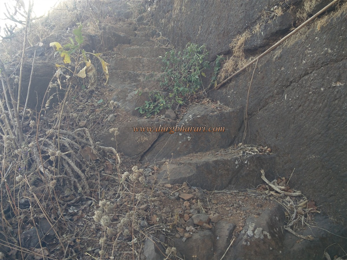
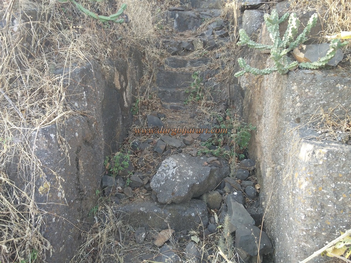
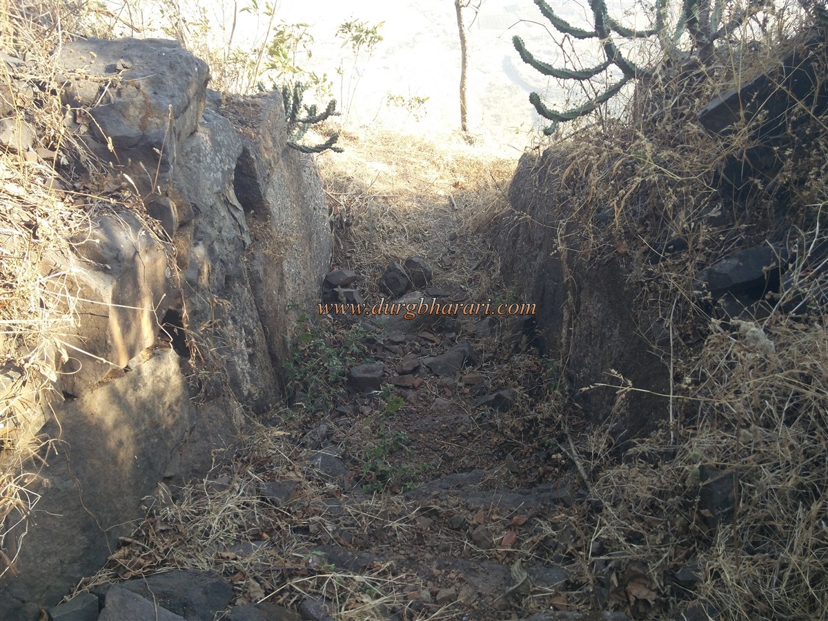
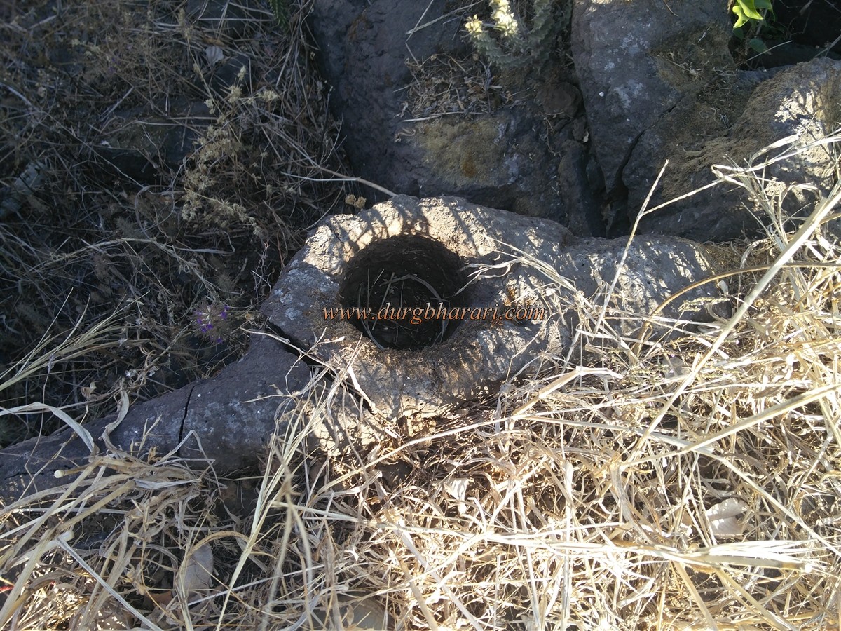
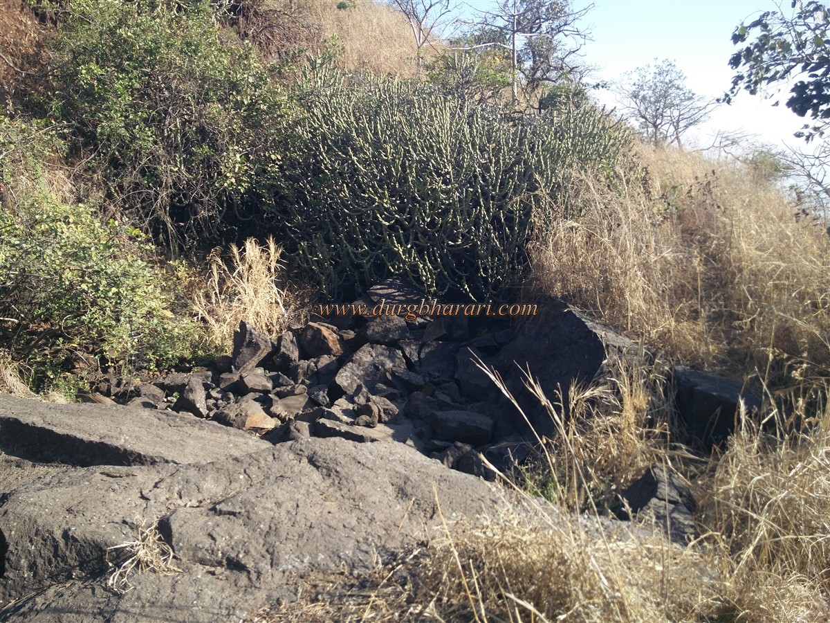
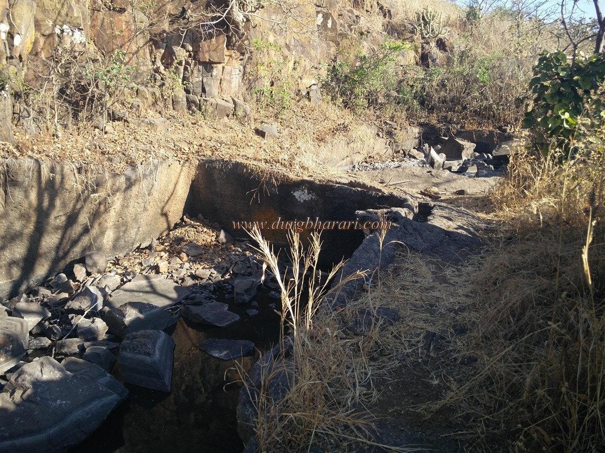
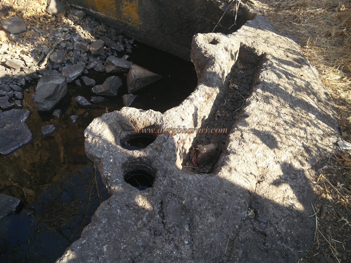
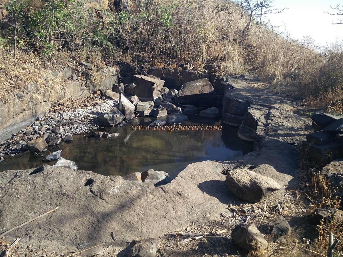
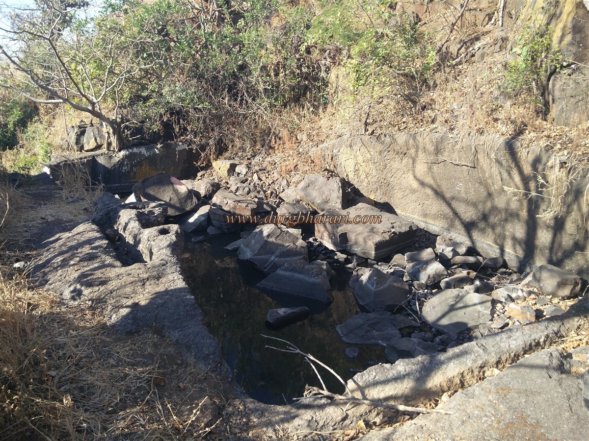
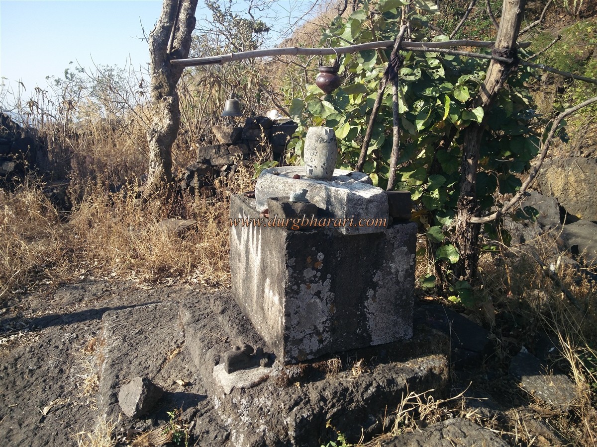
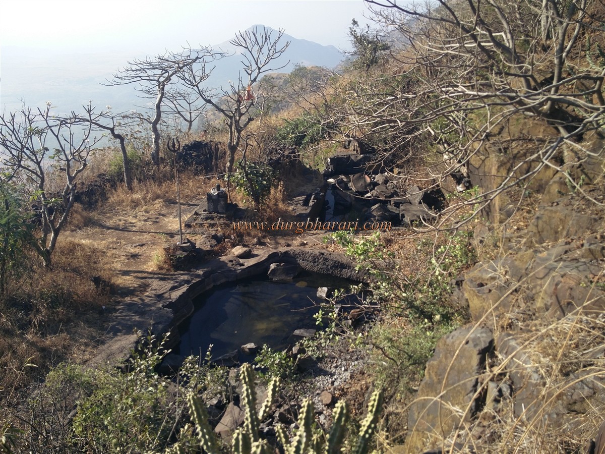
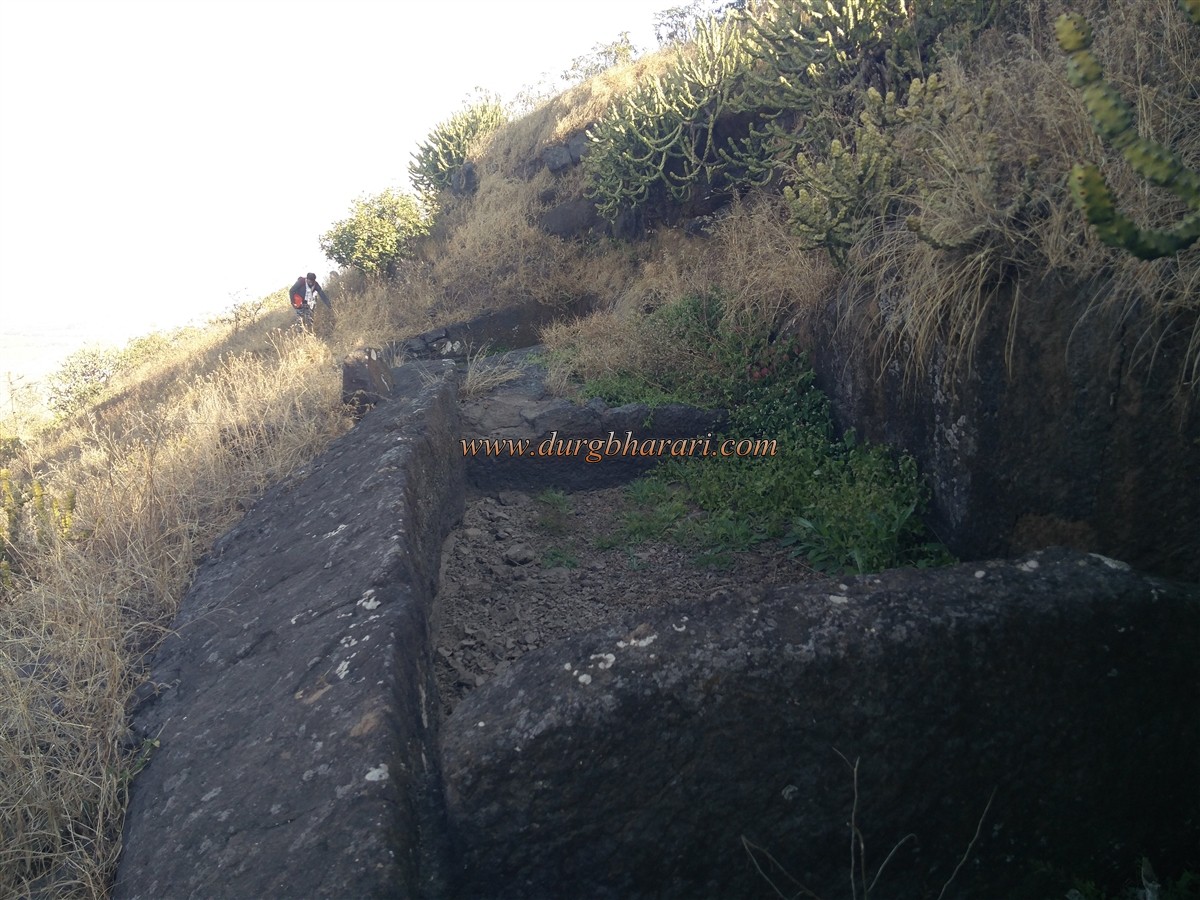
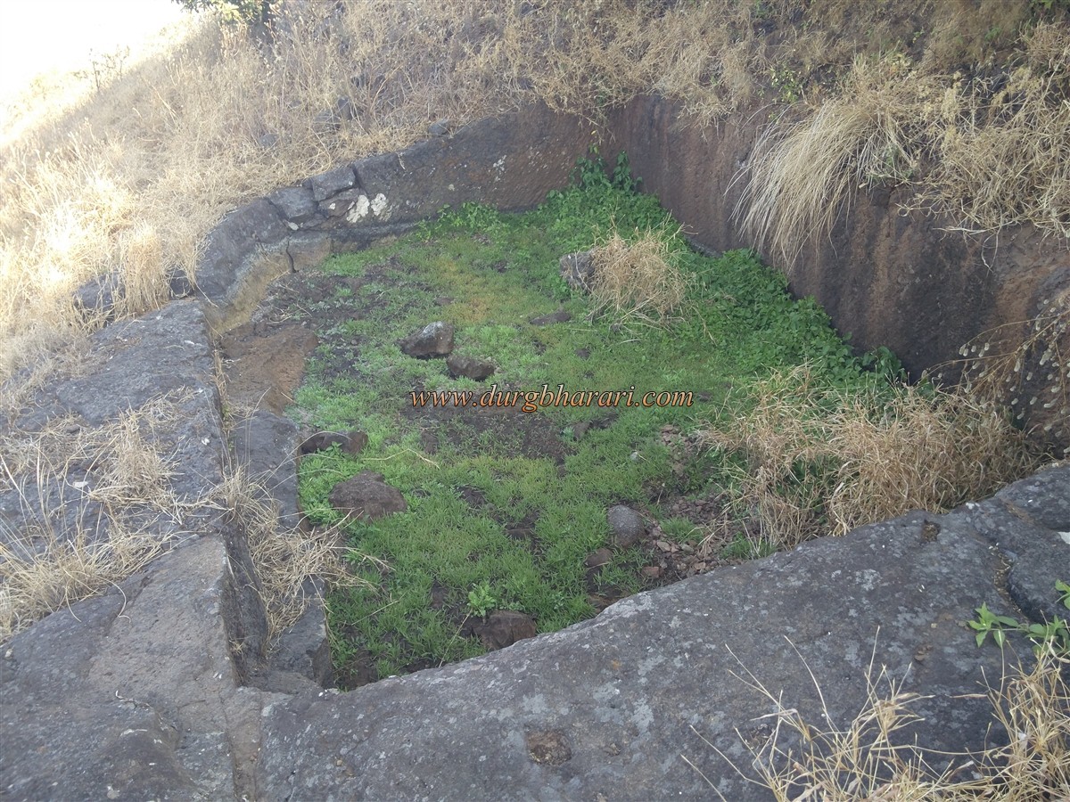
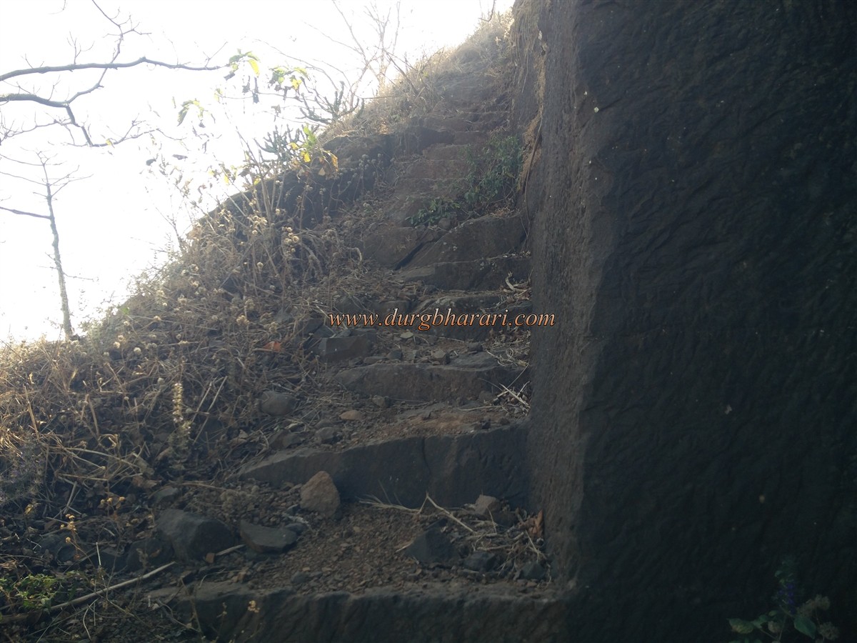
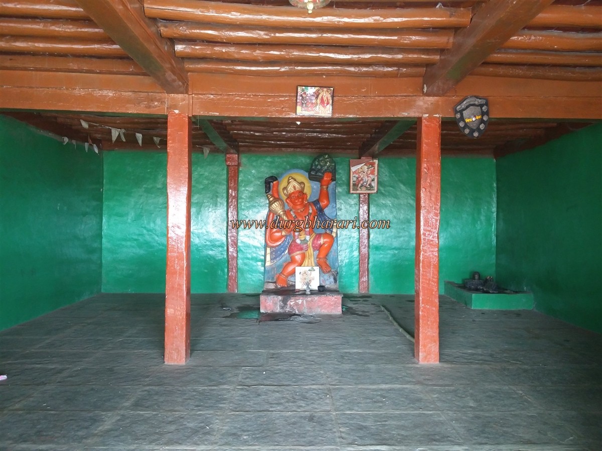
Ashewadi village is at the base Ramshej fort 8 km ahead from this village is Rashewadi village but 1 km before this village there is a fork and a recently built road leads to Deherwadi village. Dehergad is situated on the hill behind this village and a trunk of this mountain has come down. If you have a private vehicle with you, you can go from Dehergad village to the house under this trunk, otherwise, you have to walk for half an hour from the main road to this trunk. It takes one and a half hours to reach the fort from the trunk. There is a big acacia tree in front of the house below the trunk and the ascending path takes you to the plateau above the trunk. There are some signs on the plateau that show that once the plateau was inhabited. From here, you can see the top of the fort standing on the hill in front. Since the villagers are bringing cattle to graze on this plateau, there are many cattle paths, but you should start climbing straight towards the trees on this hill without turning anywhere. Filled with mud, this slippery path climbs the winding road and enters the path of trees below the fort. After walking for 5 minutes through these trees, you will see a small dry square-shaped cistern dug on the right side of the fort. A little further on from this cistern, you can see the steps carved in the rock of the fort coming down from this gorge. These steps are very steep and one has to climb 10-12 feet at this place with these steps. In 10 minutes we reach the ruined gate of the fort facing north. The gate and the adjoining bastions are completely demolished, leaving only traces. Another huge cistern can be seen in the inside part of this door. This cistern is getting clogged as the stones falling from above are accumulating in it. In this part of the gate, a bastion and some ramparts are visible. Near the cistern, the villagers have set up an idol of a deity. From the steps leading up to this cistern, we reach the second ruined gate of the fort. This part of the door is carved in the rock and the arch at the top is destroyed. Upon entering through this gate, on the right-hand side, you come to the top of the citadel’s hill. From here one way is seen going straight up and the other way is seen going to the right. After taking this path on the right and climbing 15-20 steps, you can see three cisterns of water carved in a line in the rock. All three of these cisterns are dry. After seeing the cisterns and turning back, you enter the fort by going straight up. The triangular fort is 3580 feet above sea level and is spread over an area of about two and a half acres. The head of the fort is small and most of the remnants are hidden in the tall grass here. A straight path leads down the hill to the eastern part of the fort. The ramparts of the fort in this area still have some remnants and there are 4 water cisterns carved in the rock. All of these cisterns have collapsed and two of them have potable water. A cement quadrangle structure is built next to the tank and a Shivling is installed on it. Adjacent to this is a structure with fallen walls. Coming straight from the cisterns, we come to the edge of the fort in the direction of Bhorgad. There are six water cisterns at this end, three on the right and three on the left, but all of them have collapsed. From here, a footpath carved in the rock can be seen descending to the lower part of the fort, but you cannot be descended from this path as it has collapsed in between. After walking back from here and coming to the door, your fort round is complete. It takes three and a half hours to explore the fort and return to Deherwadi village. If you want to stay near Dehergad, you can stay at the Hanuman Temple in the village. Considering the size of Dehergad and its remains, the main purpose behind the construction of this fort might be for surveillance. The steps carved in the rock of the fort show the antiquity of the fort. The fort may have been built to guard the Peth-Savalghat-Dindori trade route. Dehergad was also conquered by the Marathas when the region came under their control between 1670-71. Dehergad is mentioned in the list of forts in the Peshwa-Nizam treaty in 1753-54.
© Suresh Nimbalkar
GALLERY