DAULATGAD/DASGAON FORT
TYPE : HILL FORT
DISTRICR : RAIGAD
HEIGHT : 325 FEET
GRADE : EASY
The city of Mahad has a glorious history dating back to the seventh century. There are 7th-century Gandharapale Buddhist caves along the Gandhari river in Mahad taluka on the banks of Savitri, Gandhari, and Kal rivers. Mahad got its name after the Pali word 'Mahahat' or 'Moti Peth'. Mahad was the largest market in the area. Large scale trade was carried on by boat from the Savitri river. Due to the siltation of this route of the Savitri river, only remnants of Mahikavanti port and Dasgaon port remain. A chain of forts like Daulatgad, Songad, and Mahendragad was built to protect this trade route from the port. Raigad was the capital of Swarajya. As these forts were under the influence of Raigad, they gained more importance in terms of protection of the capital. The chain of these forts made it difficult for the enemy to easily attack the capital.
...
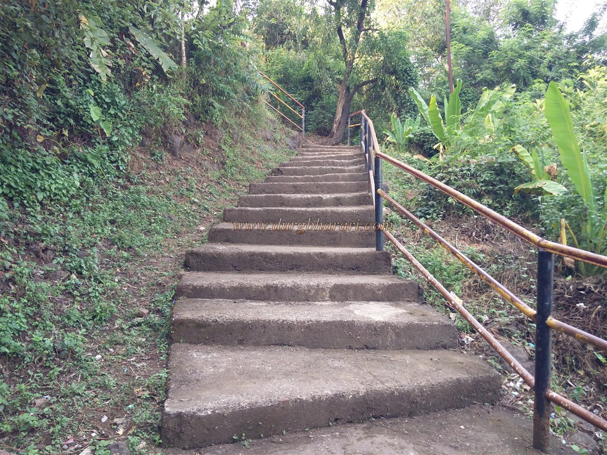
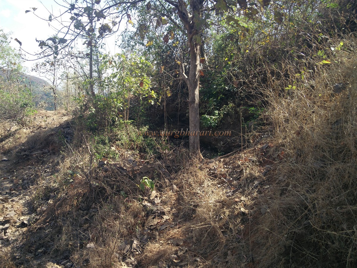
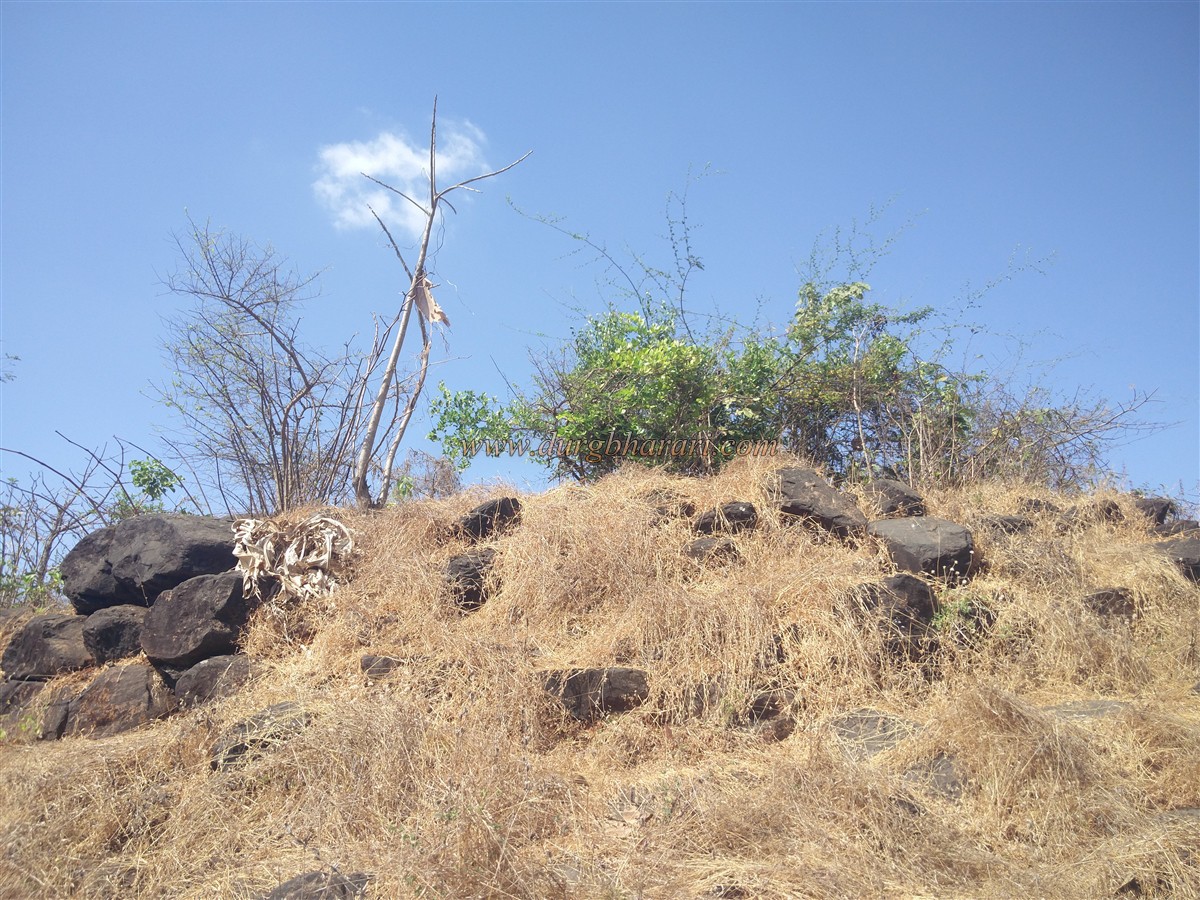
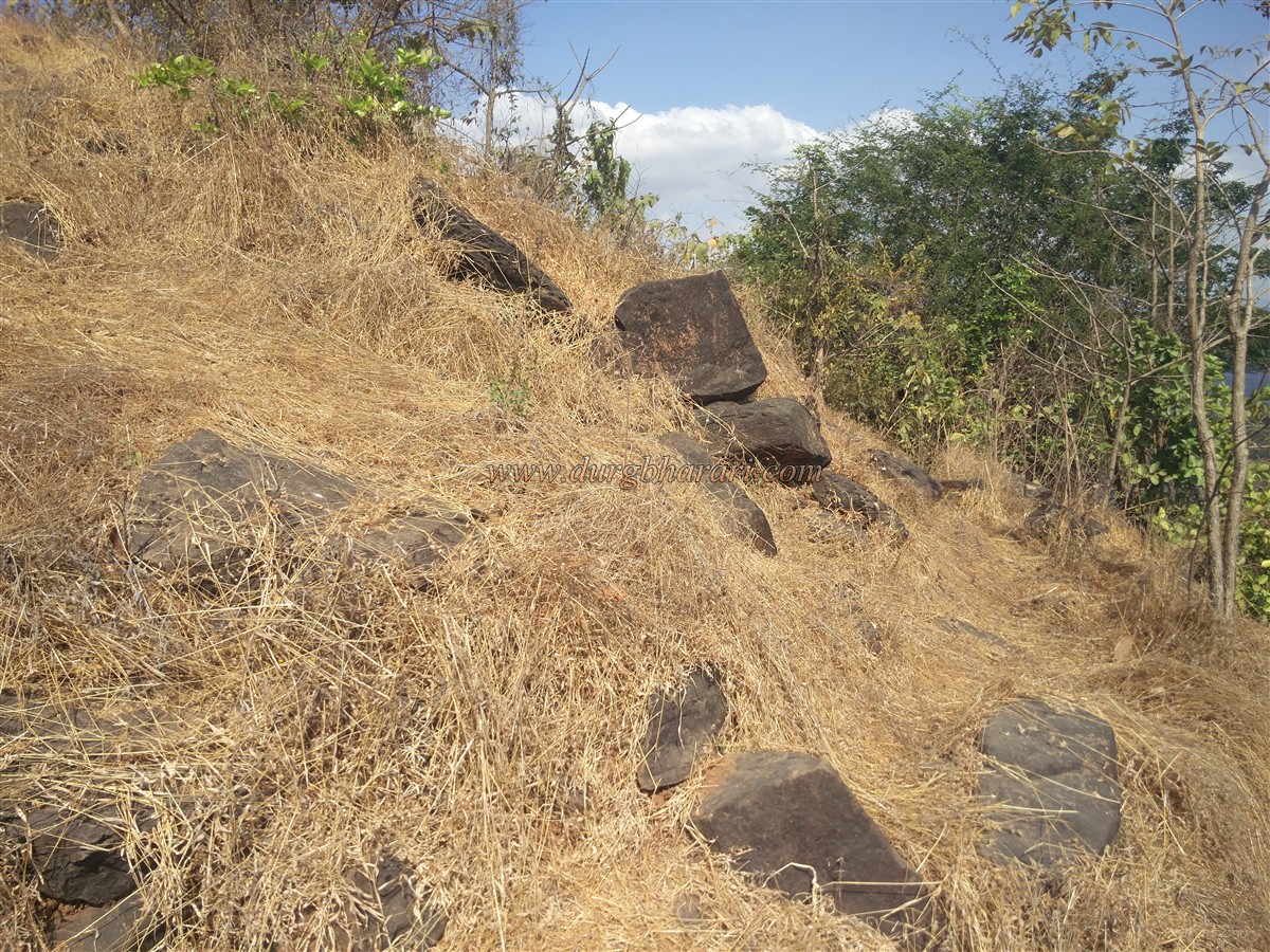
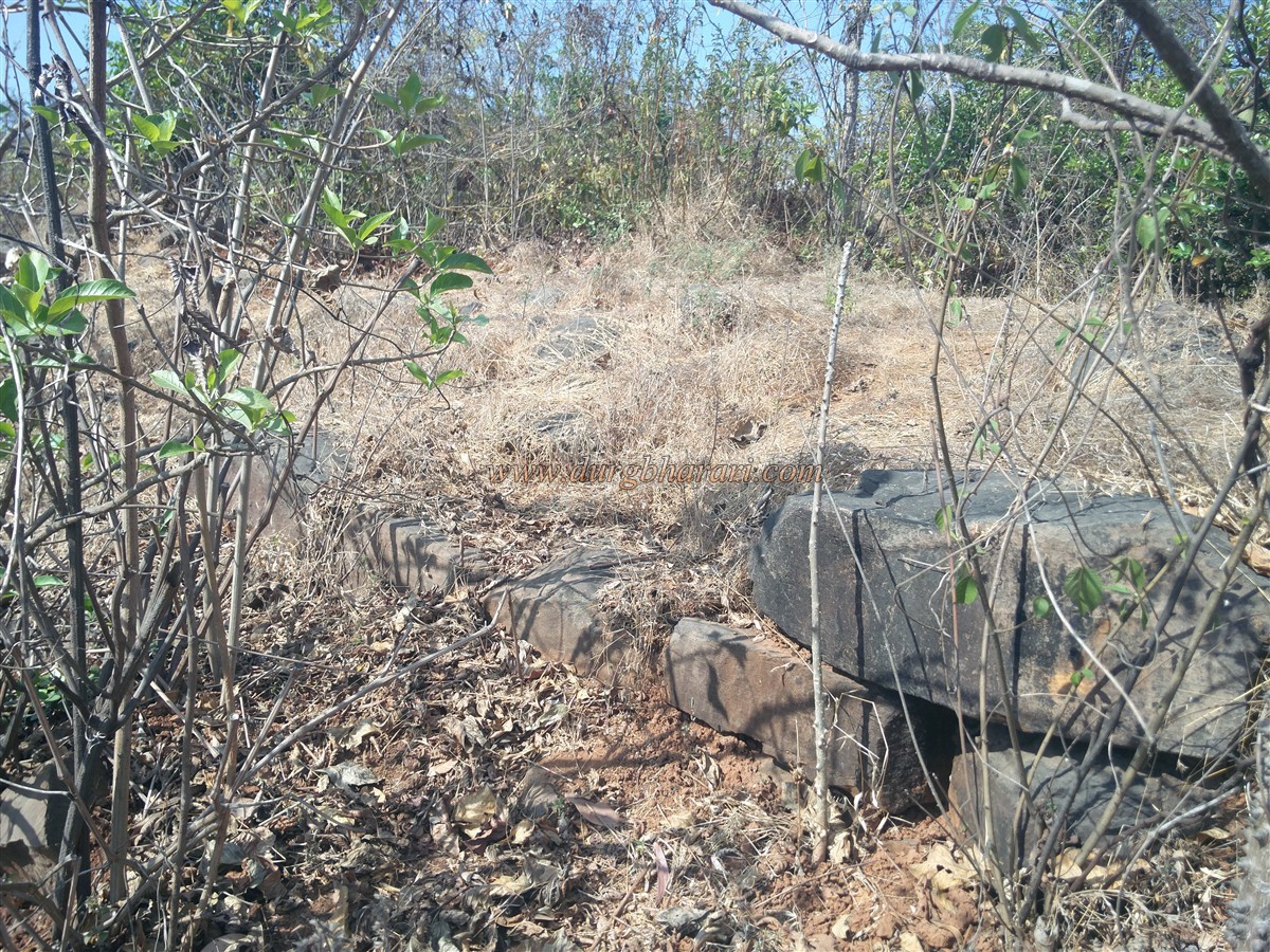
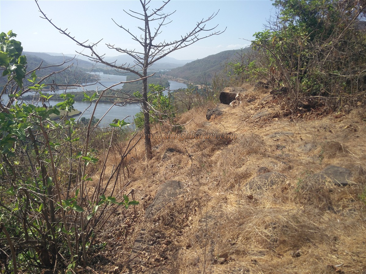
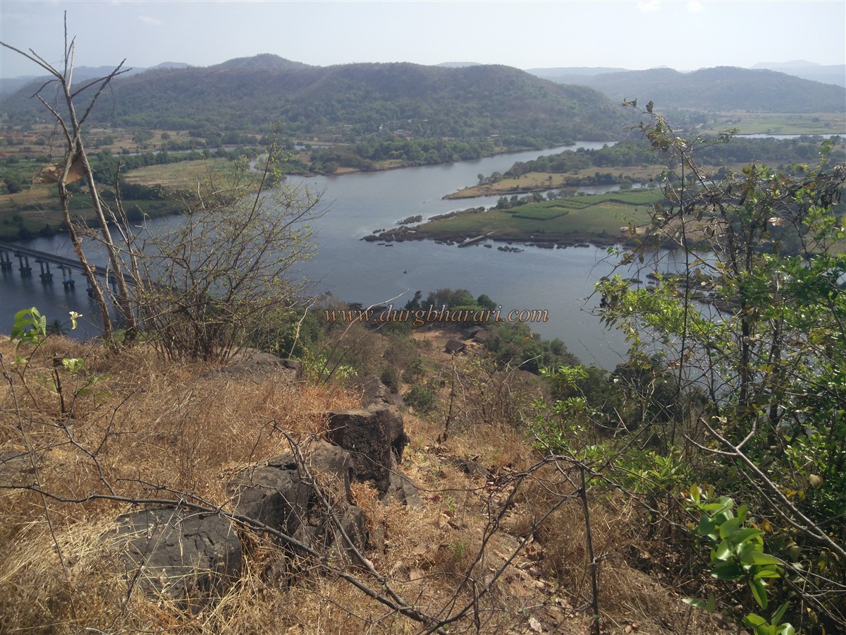
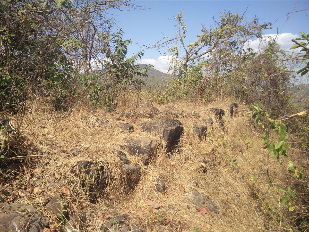
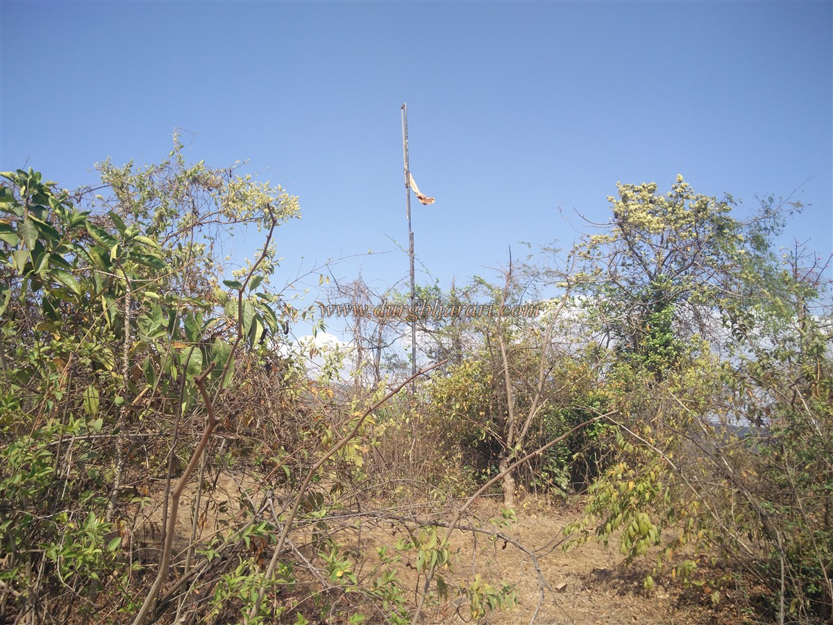
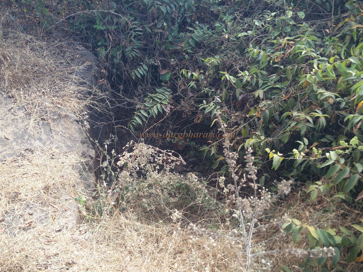
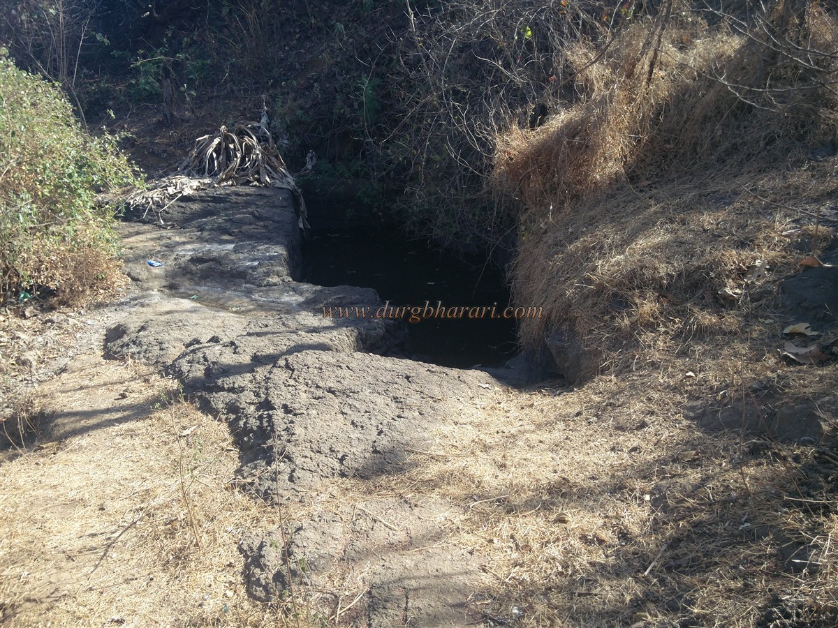
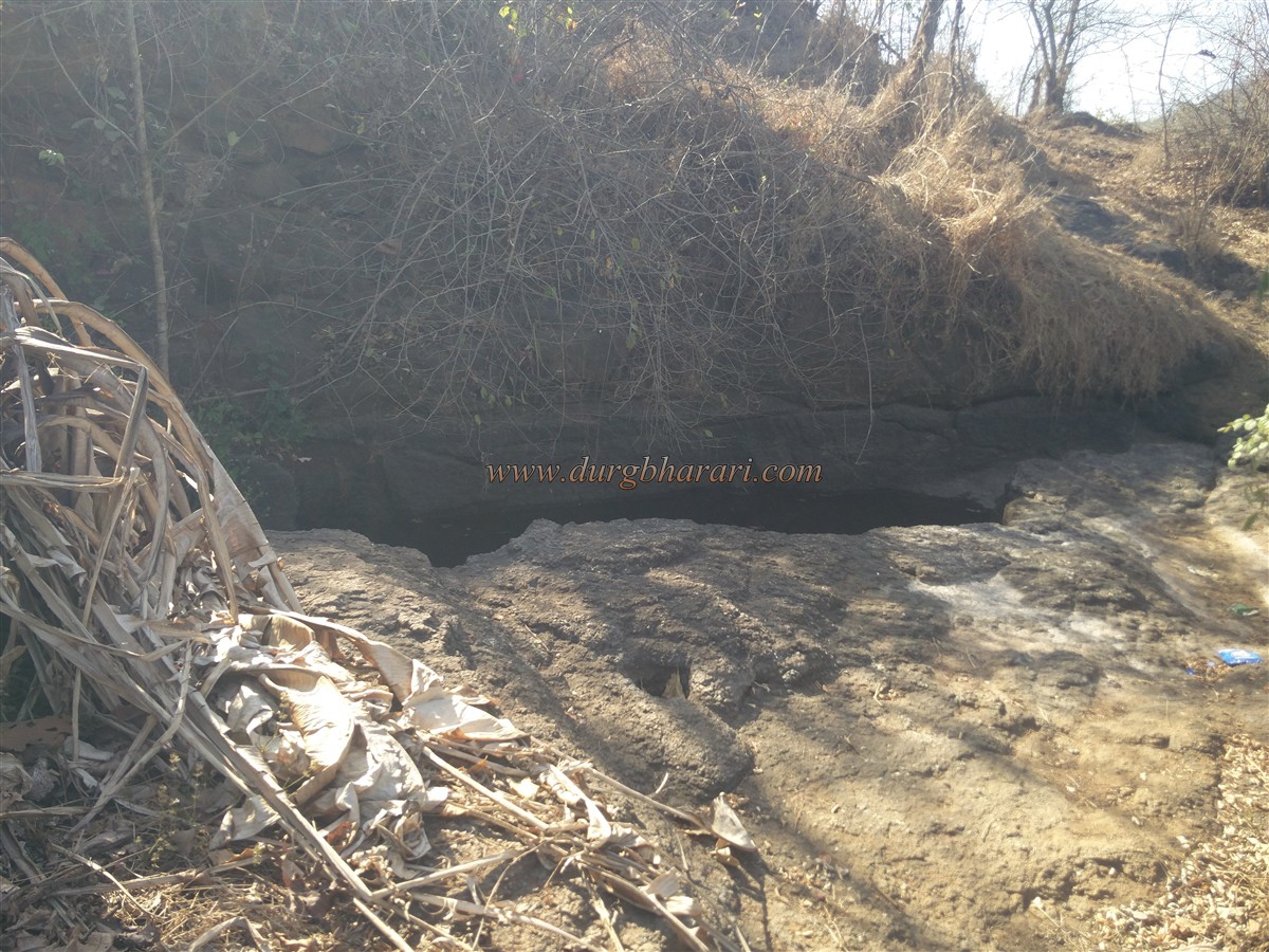
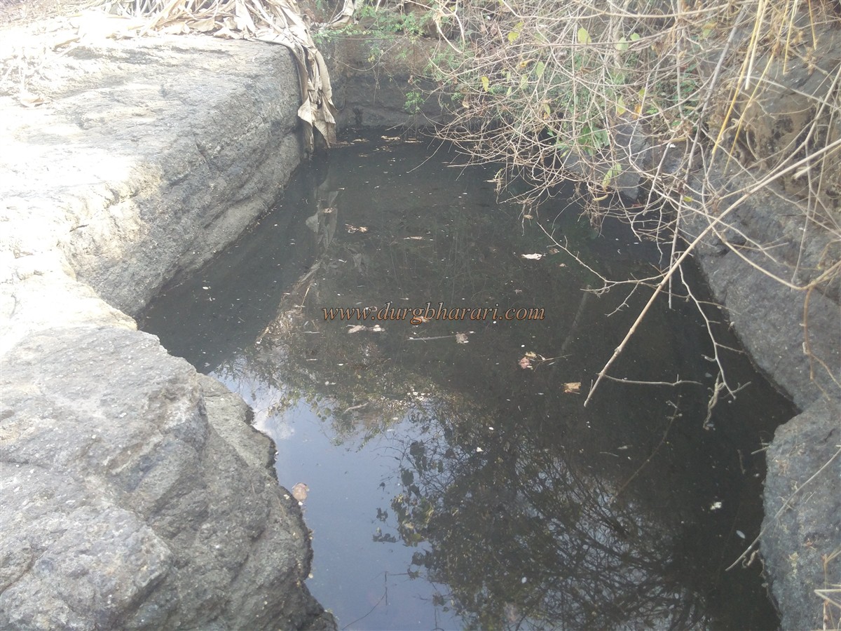
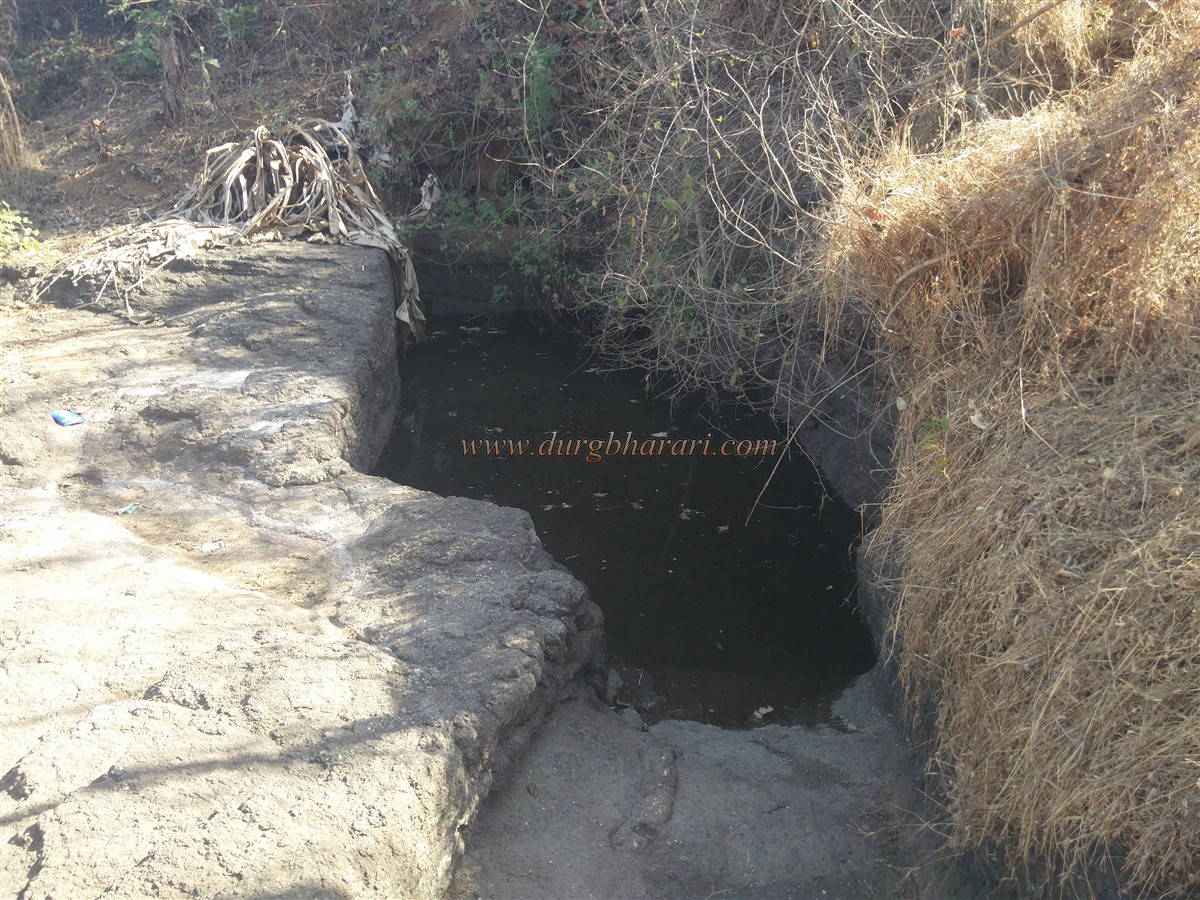
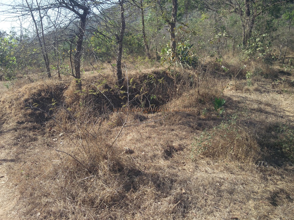
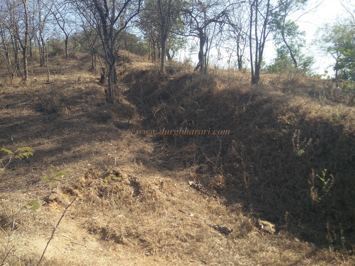
It is difficult to determine when the Daulatgad fort was built. This fort was an important watchtower on the creek. The villages of Dasgaon and Komaal as well as Bankot fort were given to the British for their help given in the campaign launched by Nanasaheb Peshwa against Tulaji Angre in 1756. Later, the British renamed the fort as Dasgaon Fort and built two bungalows on it. Later, around 1775, the Marathas conquered the fort of Dasgaon. The fort is still known to the locals as Daulatgad and they proudly say that we go to the fort on ShivJayanti only once a year to hoist the flag. To visit Daulatgad in Mahad taluka, you have to reach Dasgaon, a village at the foot of the fort, 8 km from Lonere on the Mumbai-Goa highway. The remains of Daulatgad can be seen on the hill adjoining the Dasgaon pass and the Savitri river adjacent to the highway. The hill of the fort is spread from south to north and the height of the fort is 255 feet above the sea level. Immediately after crossing the Dasgaon pass, a small road leads to Dasgaon on the right. Adjacent to this road, a staircase leads to the Zilla Parishad school at the foot of the fort. The main entrance of the school was through the courtyard and the small door on the other side was used to exit the school. From here, you would start climbing the mountain by the footpath leading to the hill in the front. This step leads to the top, with the hill on the right and the school on the left. When you come up with this path, there is a big descending pit. There are three parts in this place and after walking for 10 minutes on the recent path of the pasture, you come across a small cistern carved in the rock. There is no water in this cistern except in the rainy season. After seeing these cisterns, come back to the pasture road and walk on the left. After walking for 2 minutes along this path, you come across medium-sized cisterns carved in the rock. There are 2-4 steps carved to get into the tank. The cistern has potable water since it was recently cleaned by fort lovers but some locals are currently using it for washing clothes. After seeing these cisterns, come back to the pasture way. The road that goes straight up from here goes to the top of the fort but it is not possible to go up from here as there are a lot of bushes growing on this road. The remaining third path on the right takes you to the south end of the fort opposite Dasgaon in half an hour. Ascending from this point, we reach the flagpole at the top of the fort in 5 minutes. The fort is very small and has a water cistern which is gradually drying up at the top. You can also see a deep lake filled with small plants, remains of quadrangle structures built by the British, two bastion, and their ramparts. As there are not many people going to the fort, a large number of trees have grown on it, so you have to search your way through the trees looking for the remains. Although the flagpoles, bastions, ramparts, and lakes are easily visible, the rest of the remains have to be searched. From the top of the fort, the confluence of the rivers Savitri and Kaal can be seen. You can also see the spread of the river far and wide. The confluence of the Savitri and Kaal rivers has created many islands in the creek. This is where your fort round ends. It takes 2 hours to return to the village by exploring the fort.
© Suresh Nimbalkar
GALLERY