CHANDRAGAD
TYPE : HILL FORT
DISTRICT : RAIGAD
HEIGHT : 2030 FEET
GRADE : HARD
Jawali region is situated in the dense forest of the Sahyadri hills. The villages in this Jawali region are still inaccessible and the roads leading to this village are equally inaccessible. Dhawale is one such remote village situated at the foothills of the Sahyadri in the valley of Jawali. Dhawalgad is also known as Chandragad and Gahangad is a remote fort situated on the head of Sahyadri behind the village. This fort is popularly known as Chandragad. To visit this fort, you have to first reach the village at the foothills of the fort. To reach this village in Poladpur taluka of Raigad district, there is Poladpur-Kapdefata-Umrath-Dhawale road. The distance between Mumbai and Poladpur is 185 km and Kapdefata is located at a distance of 6 km from the Poladpur-Mahabaleshwar road.
...
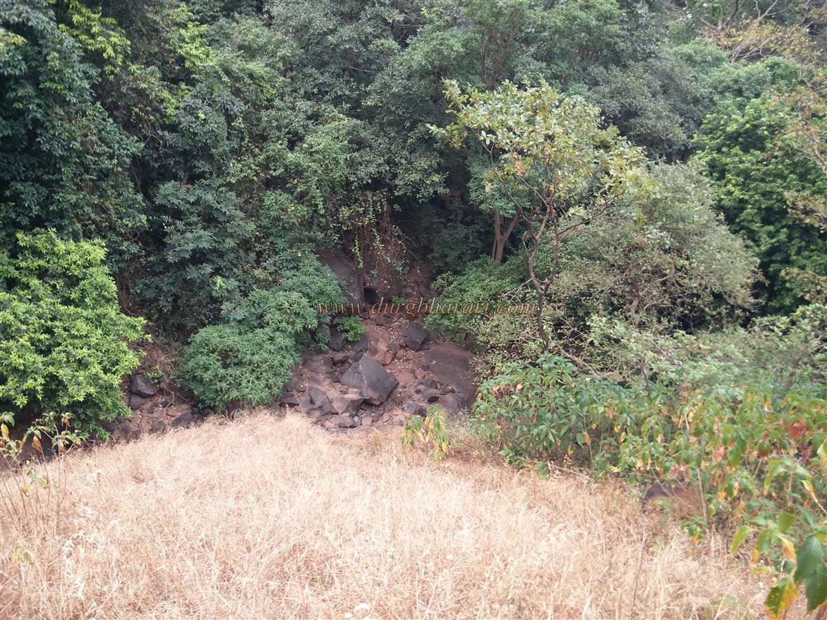
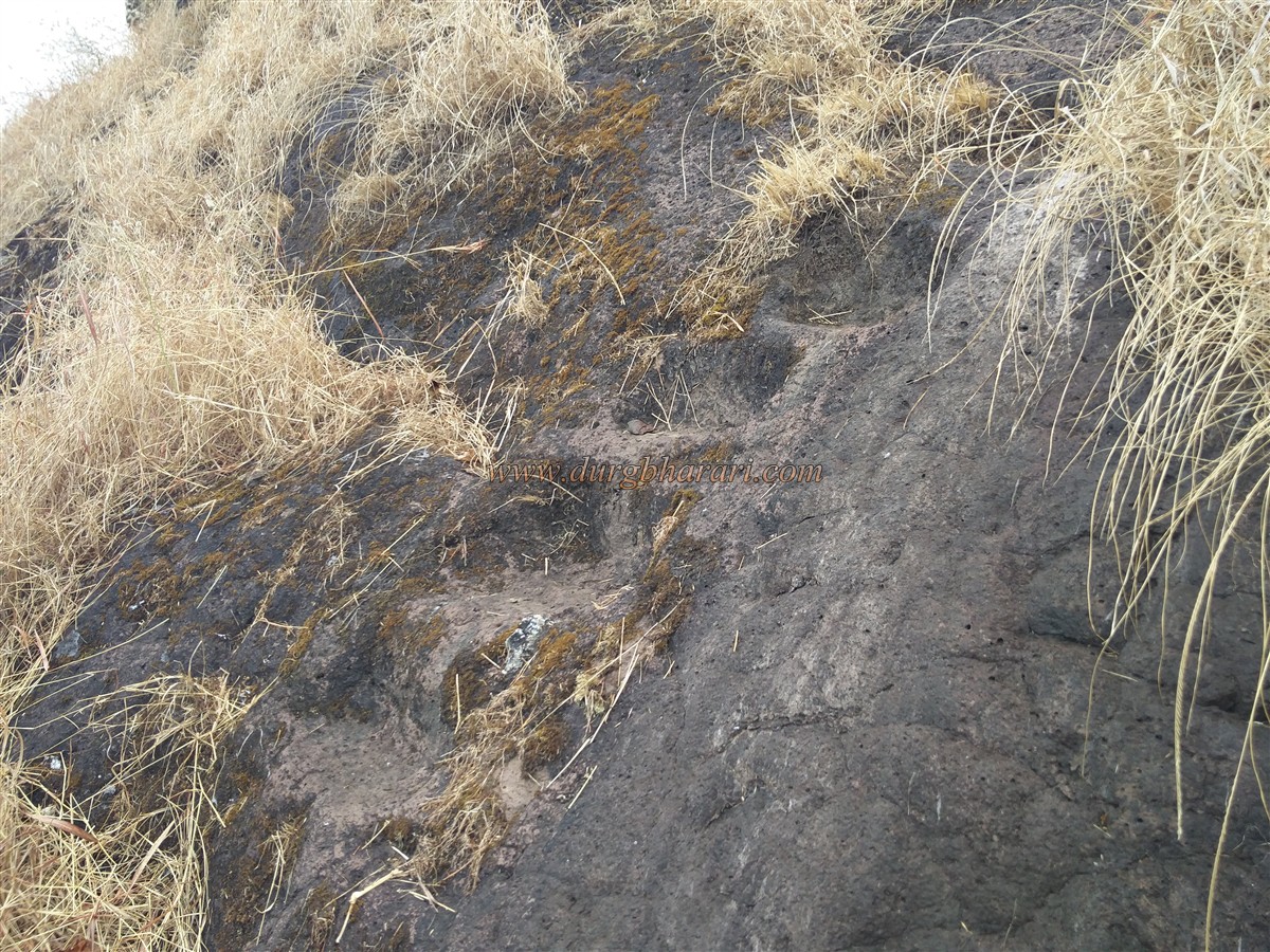
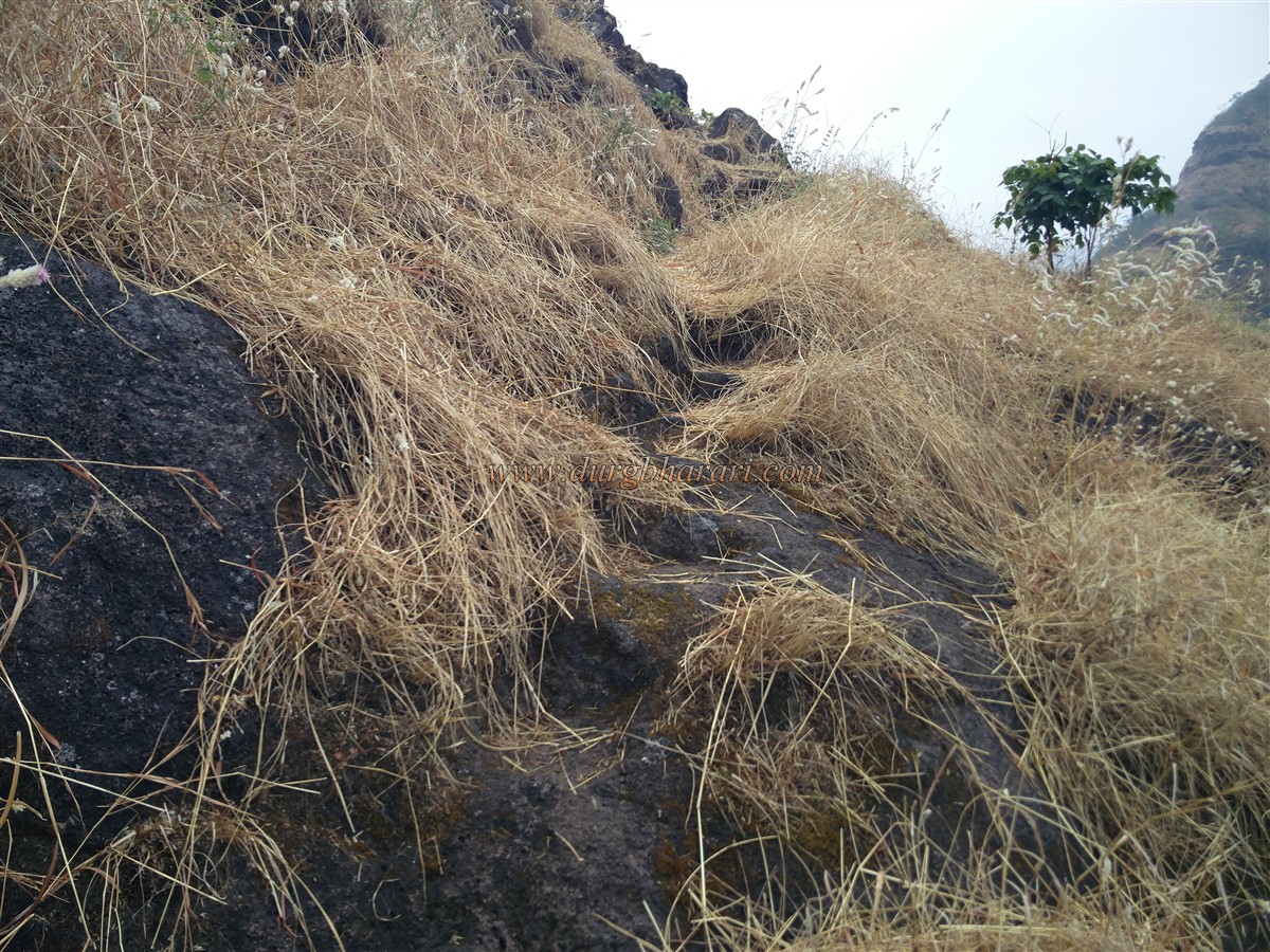
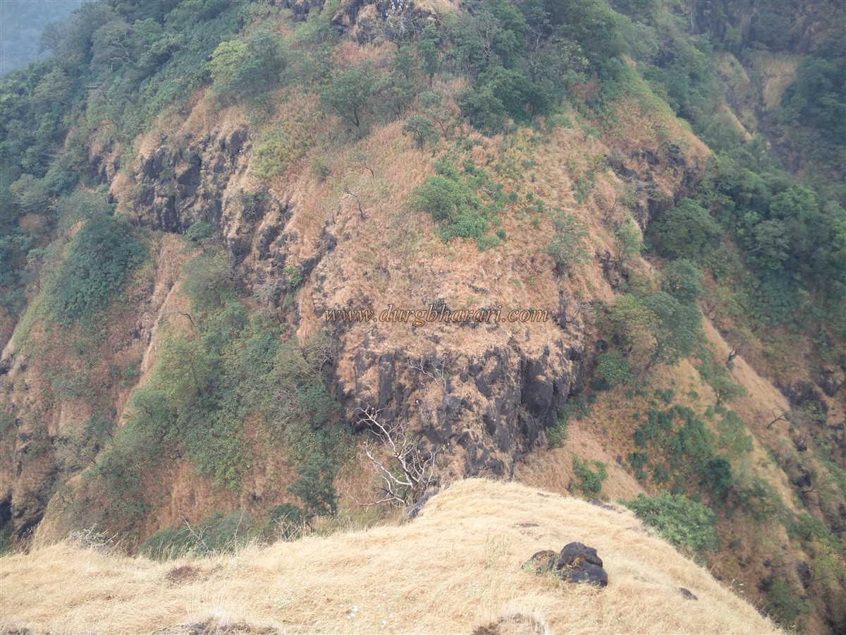
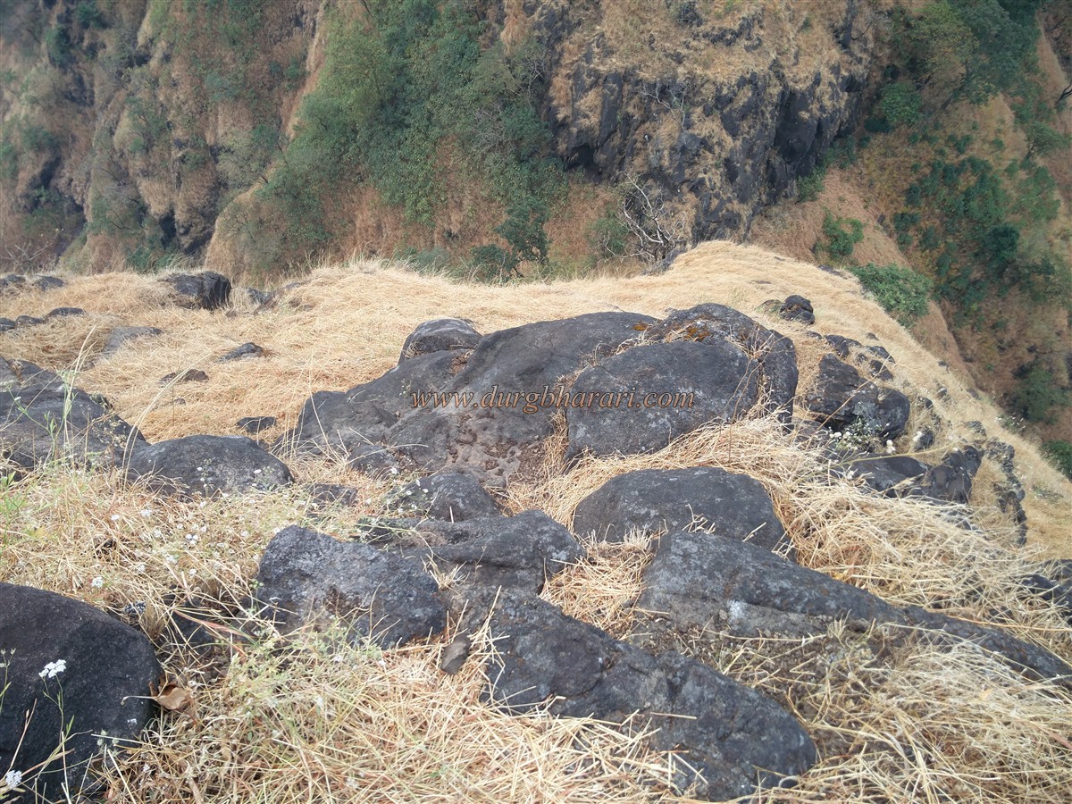
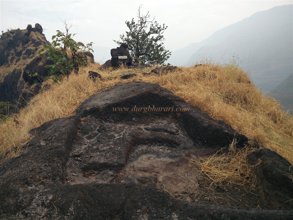
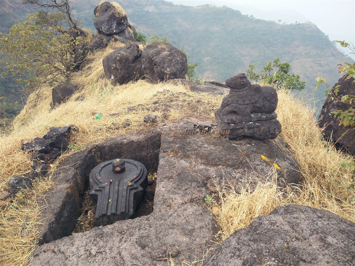
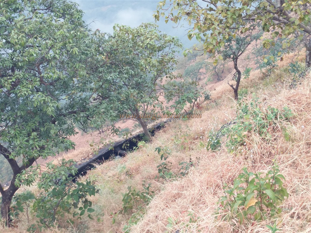
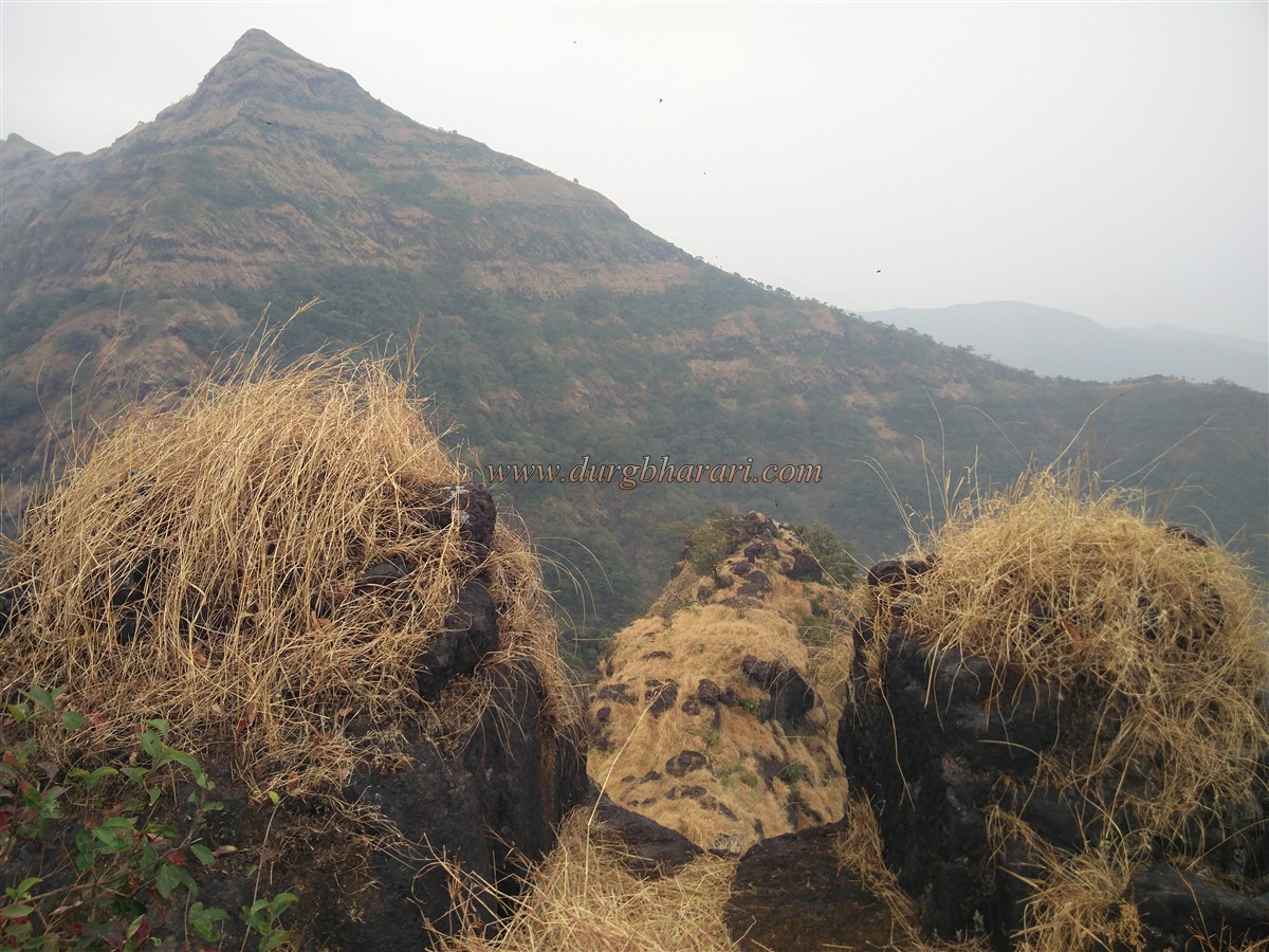
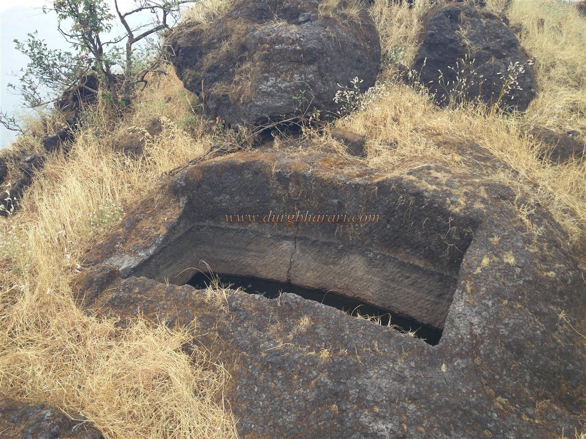
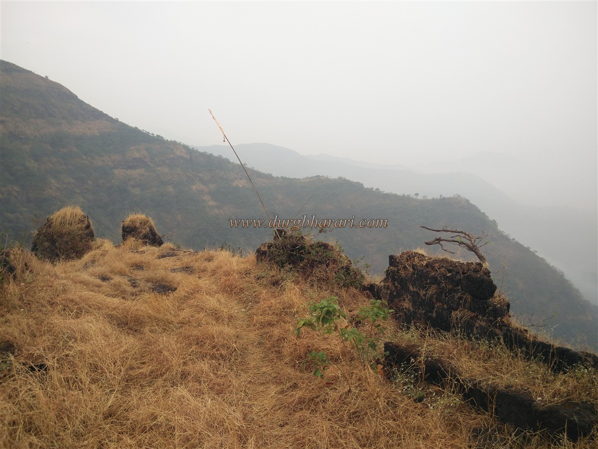
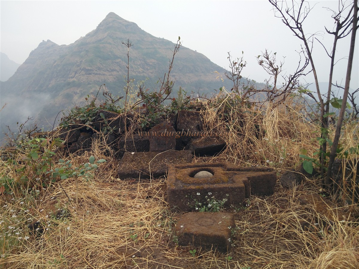
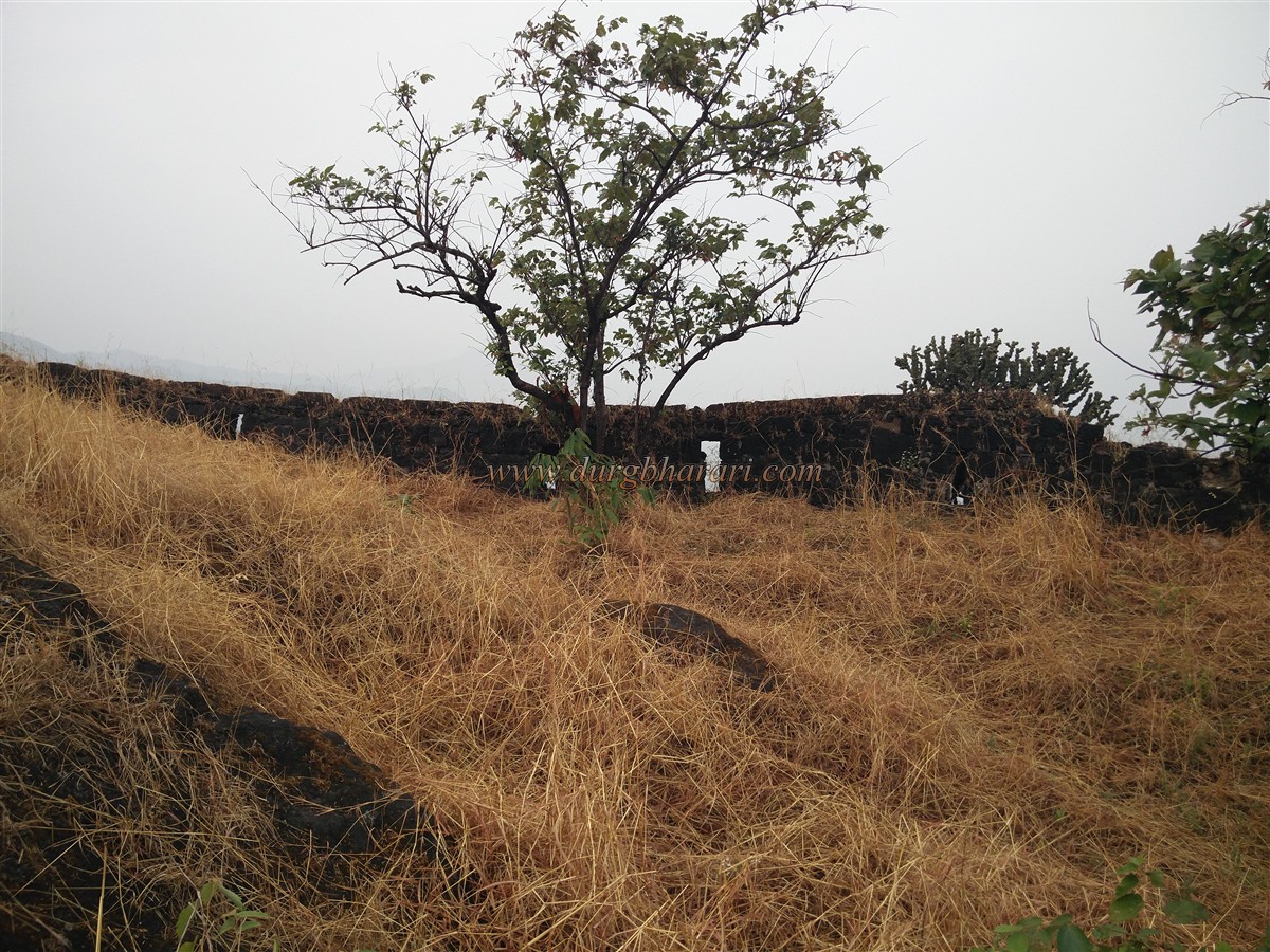
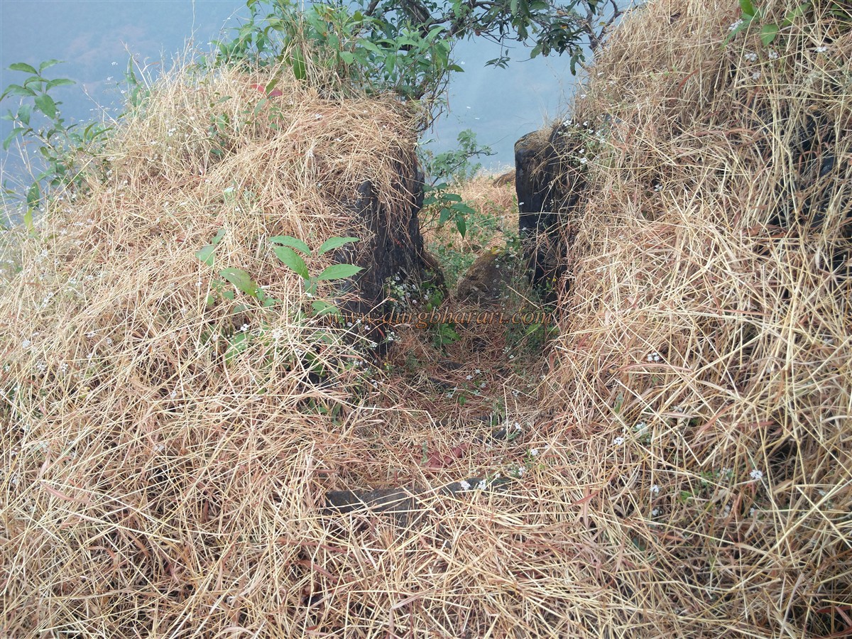
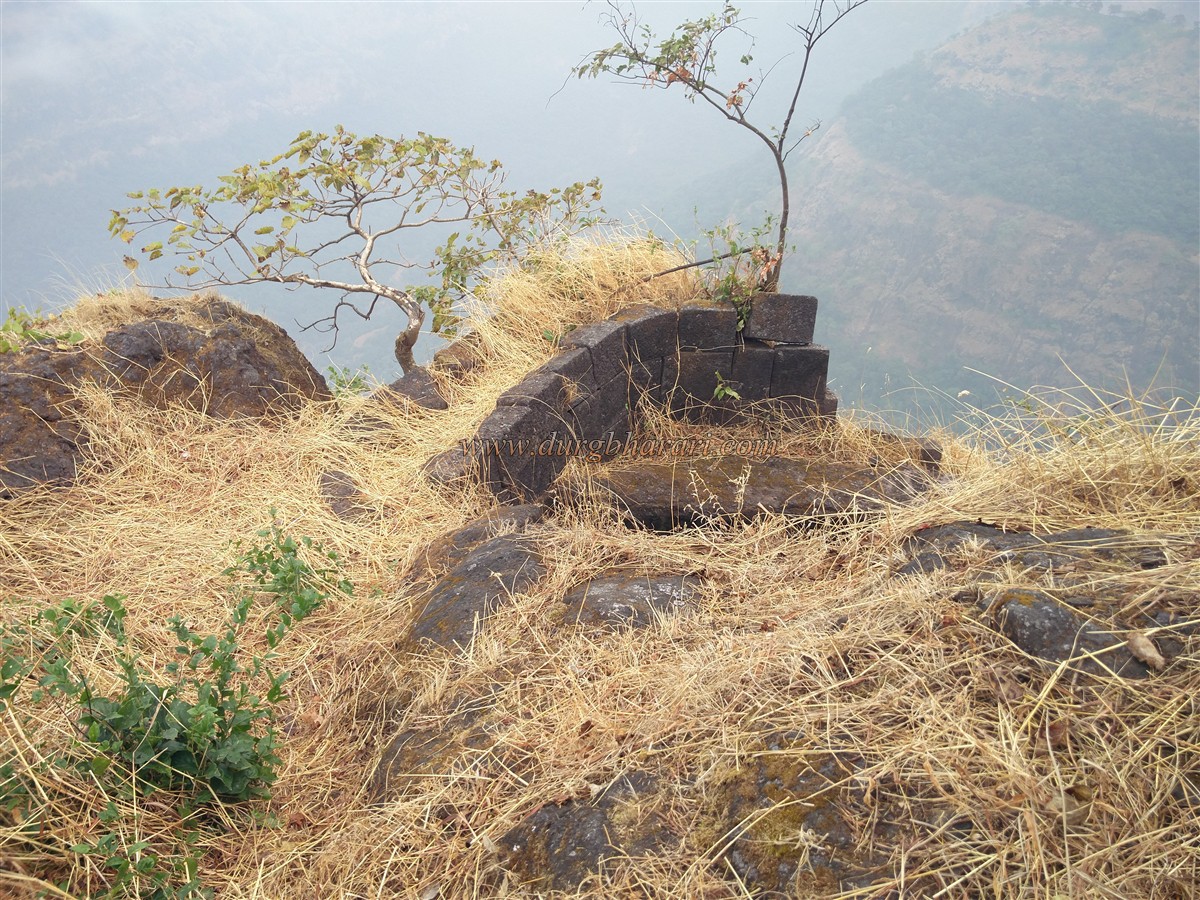
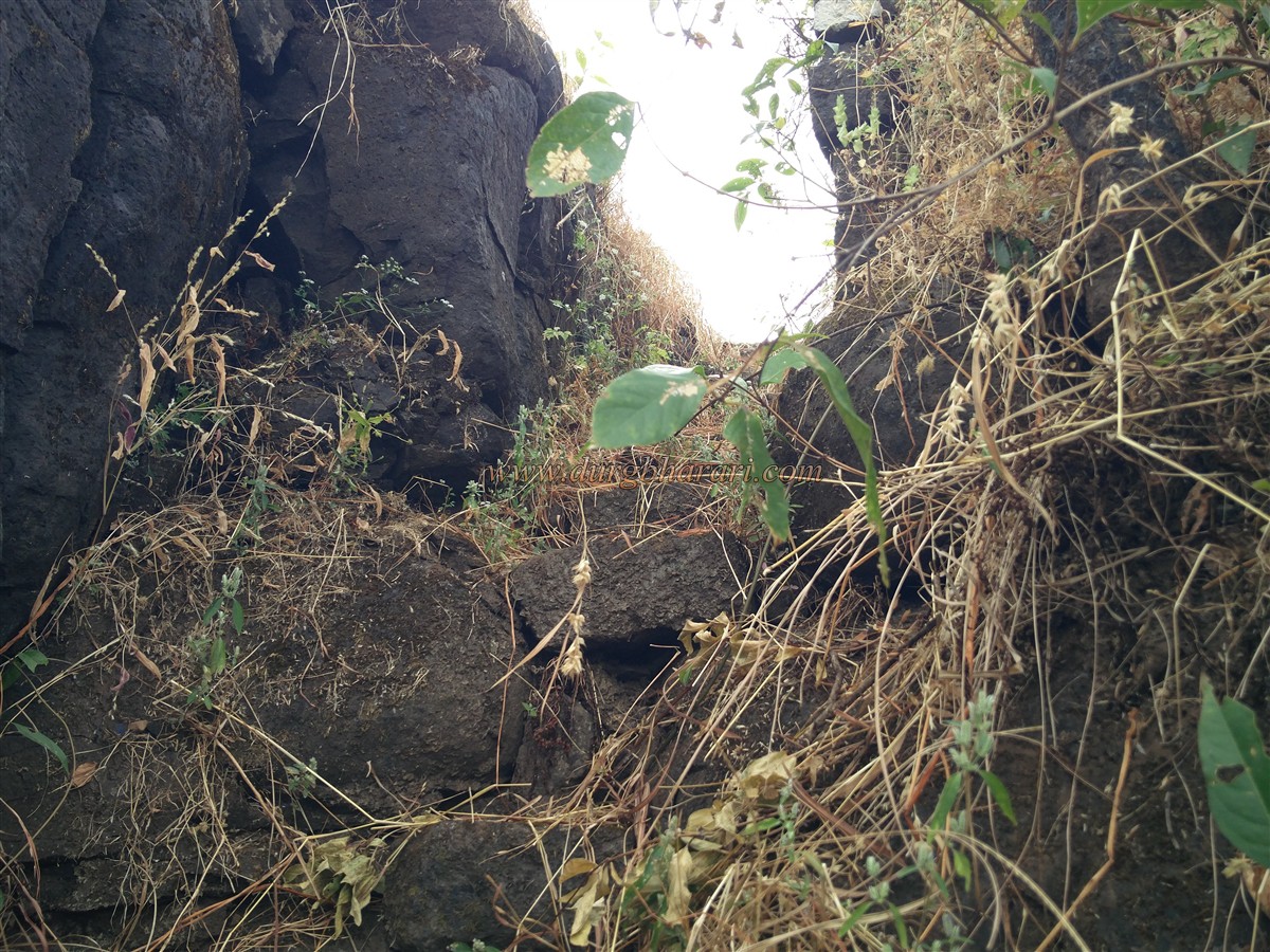
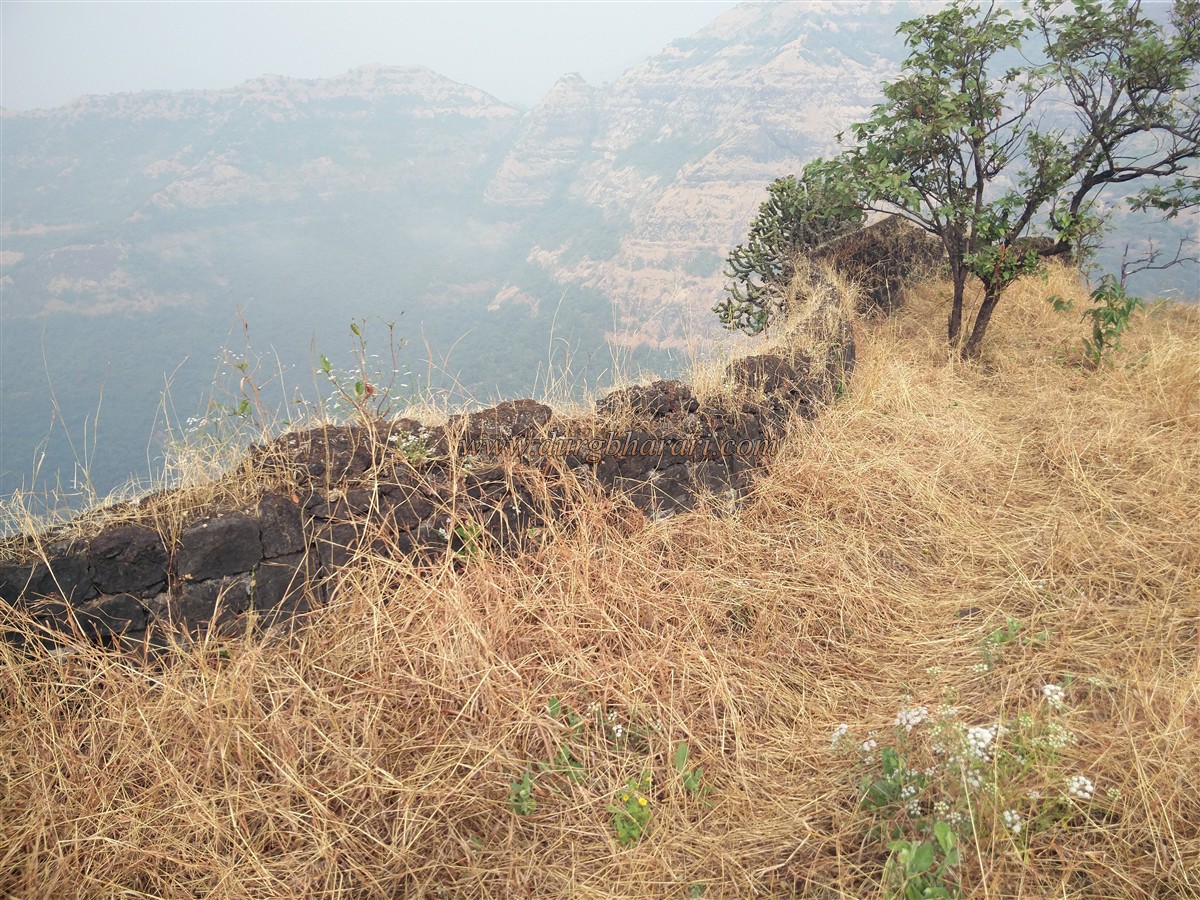
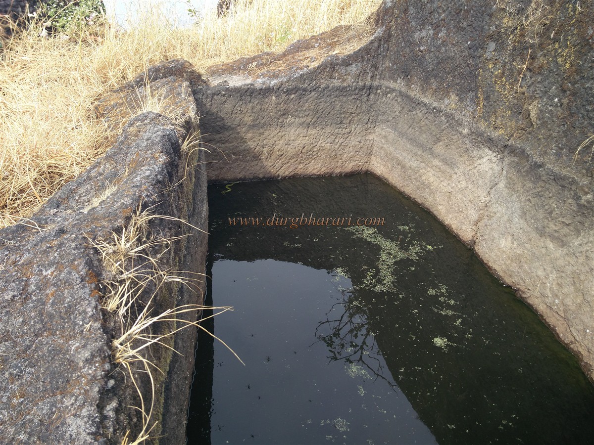
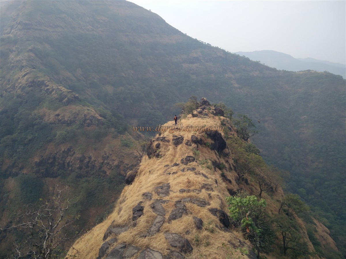
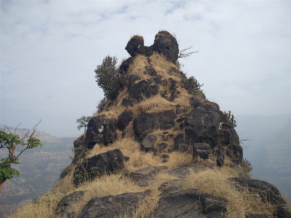
Umrath village is located at a distance of 10 km from Kapdefata. Tanahji Malusare’s Samadhi is located in this village. At a short distance from this village is another village called Dhawale. Before going to Dhawale village, one should first visit Umrath village and visit the Samadhi and memorial of Tanaji Malusare and Shelarmama. Maratha swords can be seen at a shop in front of the monument. There are 4 buses a day from Poladpur to Umrath and 2 buses to Dhawale village. One of these buses stays in the village for the night. Chandragad, which can be seen from a distance, is at the back of a hill behind the village, that’s the reason why it is not visible after entering the village. In Dhawale village, where the road ends, there is a school and a Vitthal temple in front of it. There is a hand pump for water at some distance from the school. If you want to stay in the village, you can stay here at school and get food from the villagers. As the tourism of Dhawale Ghat is now commercialized, the villagers ask you to pay for the guide and a meal, so it should be decided in advance to avoid further disputes. To the east of the village, Chandragad fort is spread from south to north. But before reaching the main road, one should understand the way well, otherwise one should take some local guide with him till that path. The water on the fort is not potable as it is not in use, so enough water must be filled from the village. There is a road leading to the fort behind the temple present in the village. In front of the village, there is a small settlement of the Koli community, this settlement is known as Shelarwadi, which is a ten-minute walk away. A little further on from this settlement, the fort at the back of the hill can be gradually seen. After crossing some fields on this path towards the hill, a path on the right takes you to the forest. Due to the presence of villagers, there are many forks on this road, but after entering the forest, only one main road leads to the fort. This route takes about half an hour to reach a gorge. This gorge is called “Mhasobachi Khind”. After crossing this gorge, the climb starts from the hill in front. Here the villagers have put up a sign saying “Chandragad Darshan”. This path slippery in some places and this half an hour-long steep climb is very tiring. Instead of directional arrows, Om Nama: Shivay boards are placed on the trees. In half an hour along this path, we come to a small plateau where a flag is hoisted. There is a small quadrangle structure hidden in the grass and there is a fort check post here. From here, the road to the fort begins. In some places along the way, small steps are carved out of a rock. This is the way we enter the fort from the edge. From here one could see the Mhasoba gorge from the top between the hill of the fort and the hill in front. In this last stage, we reach the fort by crossing a small cliff. Here you can see scattered stones and some small quadrangle structures hidden in the grass. This place used to have a door but today there are no signs of it. Looking towards the top of the fort in front, you can see the door frame carved in the rock at the end. On the way to the head from this part, there is a partially carved pit in the rock, and next to it is a square pit. There is a beautiful Shivling in this pit and on the edge of this pit is a carved idol of Nandi. Both of these idols must have been carved out of stone. This place is known as Dhavleshwar Mahadev and it is a place of worship for the local people and there is a large crowd of people here during the occasion of Mahashivaratri. During this occasion, the way to the fort was also repaired. On the left side, you can see a total of five cisterns carved in the rock. Three of these cisterns are located at the top and two cisterns are a short distance ahead. Two of the first three cisterns which are located at the top have water, although it is not potable and the third is dry, while the two cisterns at some distance are filled with silt. The way down to this cistern is very dangerous but if you have a rope with you, you can go to this cistern by tying a rope and other equipment. From here, take the next step up the stairs and enter the fort through a steep door. It takes 2 hours to reach here from Dhawale village. The highest part of the fort is at an altitude of 3000 feet above sea level. Upon entering the head you see a rectangular shaped water cistern. Although it contains water, it is not drinkable. There is a saffron flag here and a ruined quadrangle structure is situated on a hill behind the cistern. Looking at the Shivling and other relics on this quadrangle structure, it must belong to the temple. The villagers say that there is a temple of Goddess Janani in this place. The ramparts of the fort in this area are still in good condition and there is a barrage in these ramparts to fire cannons and guns. From here, on the way to the north end of the fort, you can see the remains of a large mansion on the right. There is a small door at the north end of the fort and there are steps to go down through it. When you come down from this, there is a cistern carved in the rock at the end of the valley. At the front of the cistern is a cave carved into the rock, from which one can keep an eye on the river and the Dhawale wharf. When you come back after seeing the cave, you can see 3 cisterns from the right side of the door without climbing the steps. Two of these cisterns are dry and one has mossy water. After seeing these cisterns, your fort round is completed. Half an hour is enough for the whole fort round. There are a total of 10 cisterns on the fort but none of them have potable water. These cisterns must have been dug to remove stones for the construction of the fort than for the need for water. From the top of the fort, Mangalgad, Rayareshwar, Koleshwar Plateau, Mahadev's Murha, Mahabaleshwar and Dhawale Ghat are visible. It is only after visiting Chandragad that one realizes what a Jawali forest is. Jawali valley is situated in the dense forest of the Mahabaleshwar mountain range. Chandrarao was the title of the More family who ruled this valley of Jawali for generations. Chandra Rao built this fort in the valley of Jawali and named it Chandragad to keep an eye on the ancient Dhawale Ghat which leads from Poladpur to Madhimahal of Mahabaleshwar i.e. today's Arthurs seat. According to some historians, after the capture of the fort, Shivaji Maharaj changed the name of the fort to Chandragad. With the death of Chandra Rao of Jawali, a dispute arose in Morya for his throne. Forgetting the help given by Shivaji Raja, Chandrarao made a settlement with Adilshahi. Despite Maharaj's persuasion, More began to act hostilely. Some criminals from Maharaj's kingdom fled to the shelter of Chandrarao More. When Maharaj demanded them, Chandrarao More said, "If you want to come to Jawali, come. Cannonballs are ready”. He replied in such a rude way. In January 1656, Shivaji Maharaj attacked Jawali and captured it. At this time the forts Kangorigad, Dhawalgad, and Rayari also came under the control of the Maharaj. Chandragad was repaired and renamed Gahangad. After the assassination of Sambhaji Maharaj, Zulfikar Khan came to capture Raigad and in March 1689 he captured the fort and territory around Raigad. At that time Chandragad came under the control of the Mughals. In 1690, Chandragad was conquered by Amatya Ramchandrapant. In 1818, Colonel Prorther, a British officer, captured the forts in the surrounding area.
© Suresh Nimbalkar
GALLERY