CHANDERI
TYPE : HILL FORT
DISTRICT : RAIGAD
HEIGHT : 2198 FEET
GRADE : VERY HARD
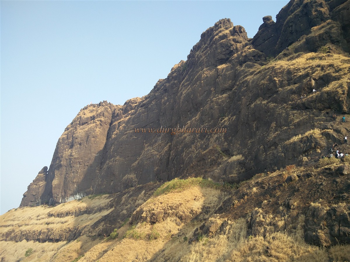
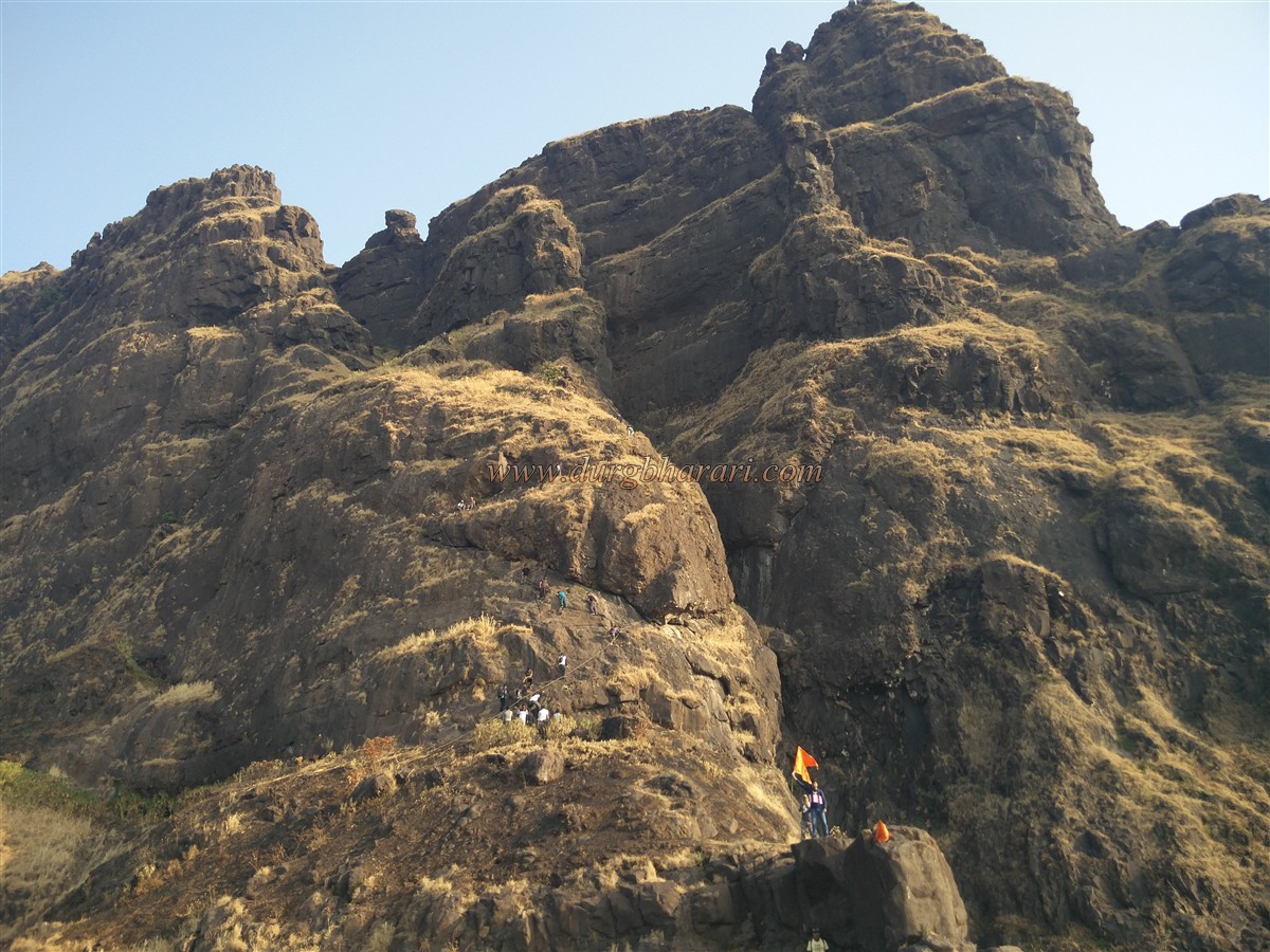
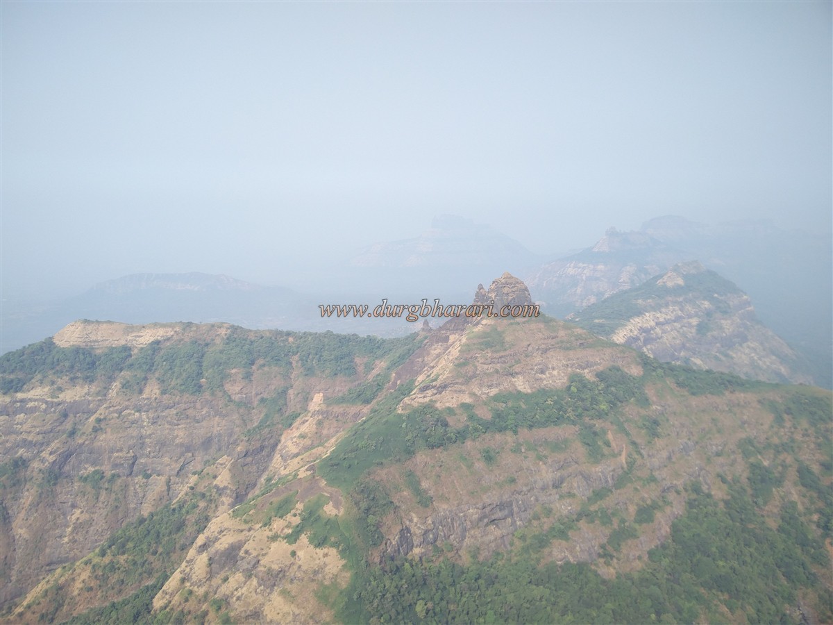
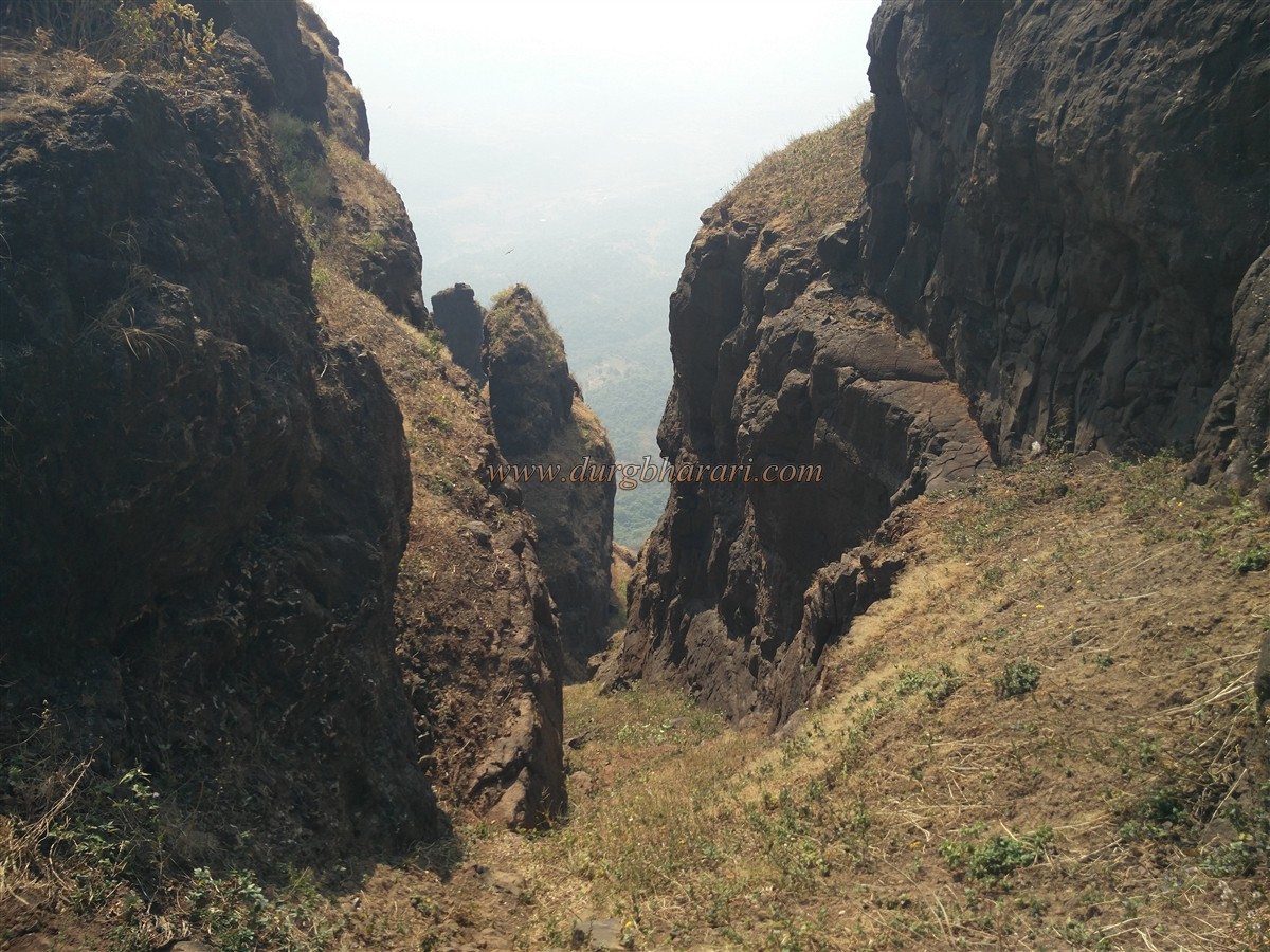
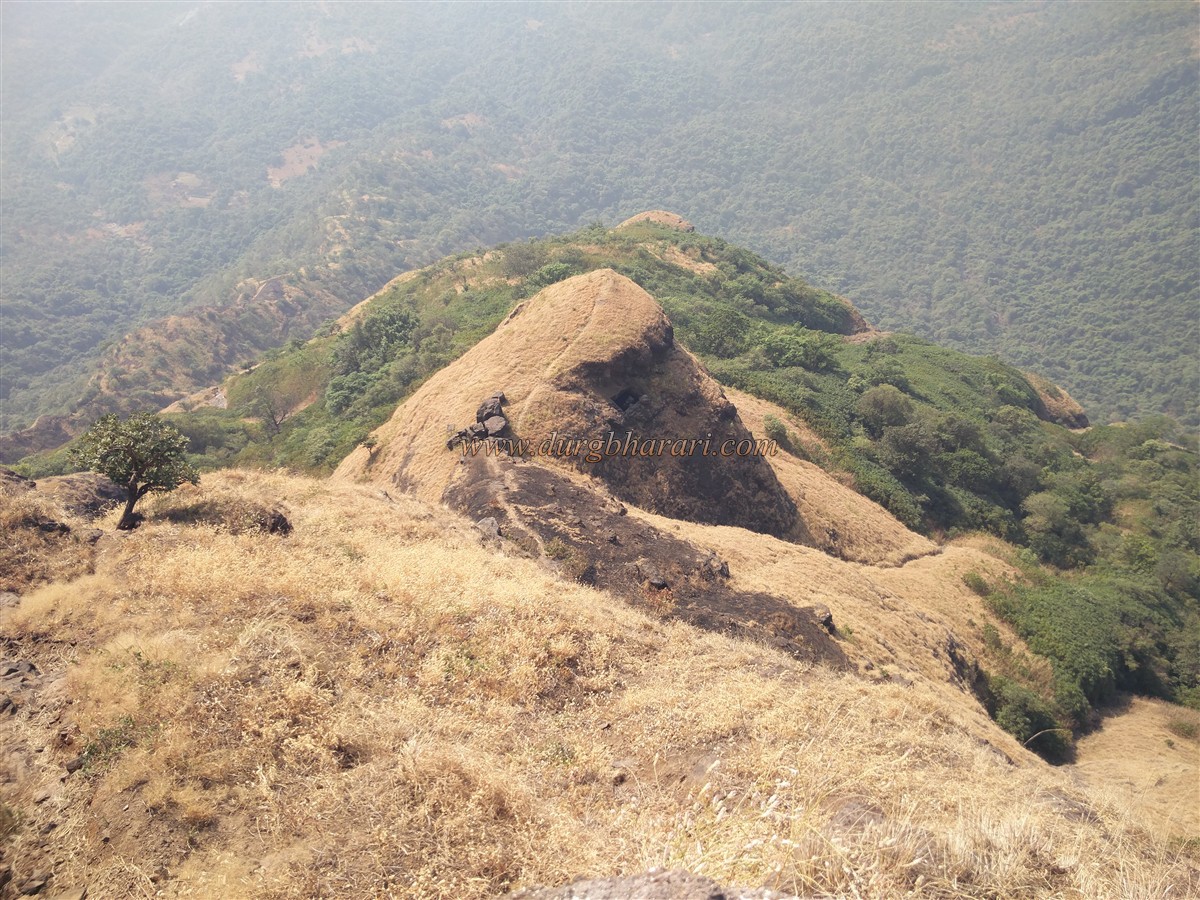
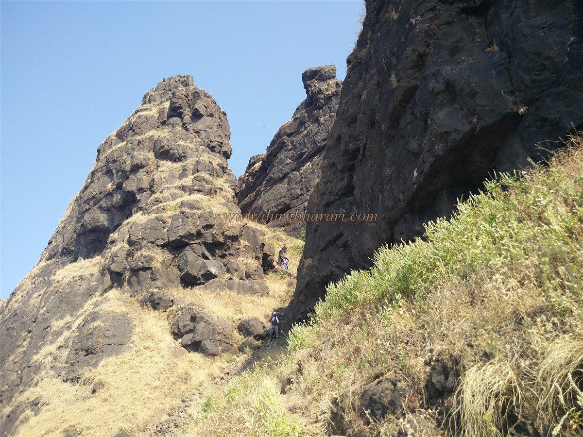
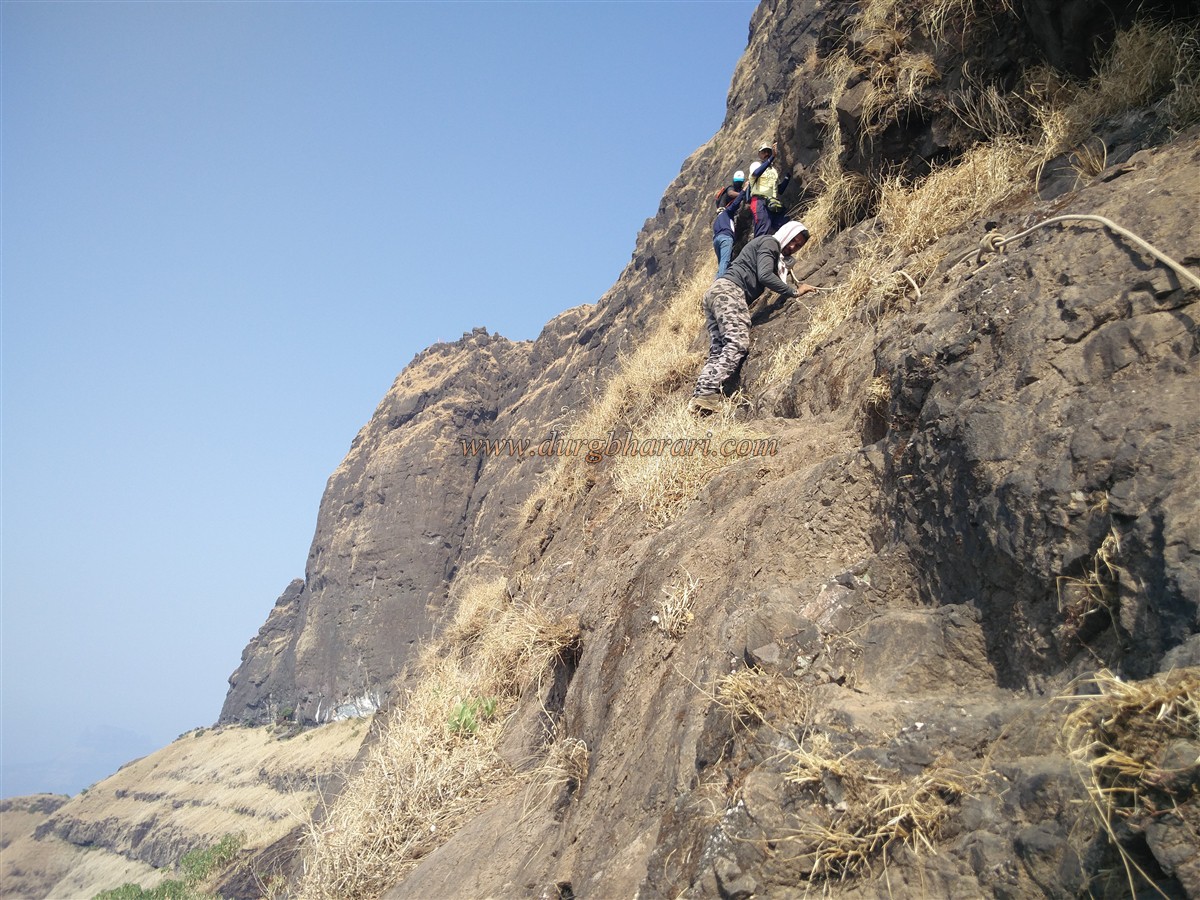
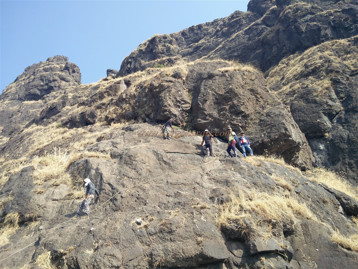
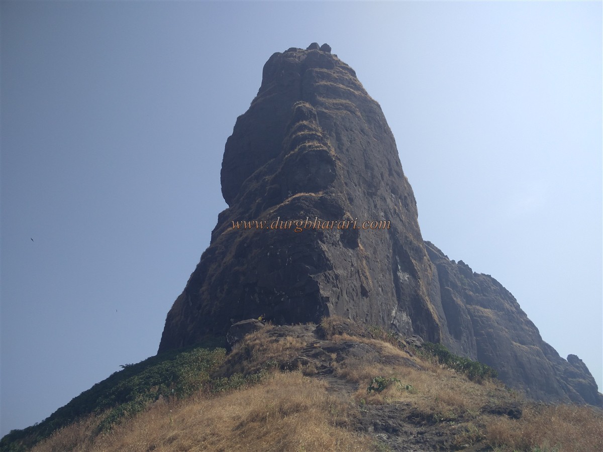
The peaks of many forts like Lingana, Ershalgad in Maharashtra are challenging for fort lovers and adventurers. One such pinnacle in the series is Chanderi Fort. The base of the fort is situated in the Matheran-Badlapur mountain range and can be easily reached from both Mumbai and Pune in one day. It is possible to reach the top of the fort without mountaineering equipment with the help of rock climbing but it is recommended to use mountaineering equipment to avoid unpleasant incidents. There are two ways to reach Chanderi fort. One way goes up from Chinchavli village near Badlapur and the other way goes up from Dundre wadi in Tamsai village near Panvel. These two paths meet in a ravine below the fort. The road from Tamsai village has a steep climb, so it is more convenient to reach the fort from Chinchavli village.
...
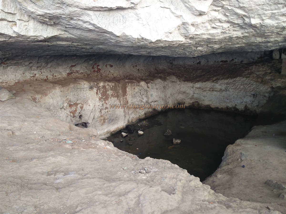
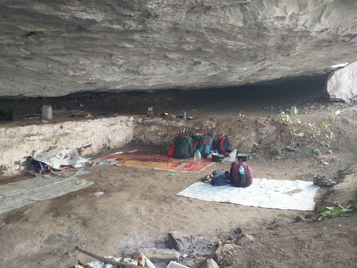
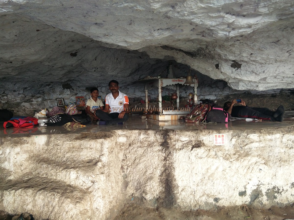
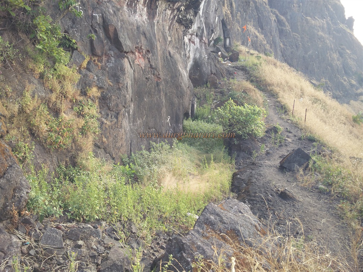
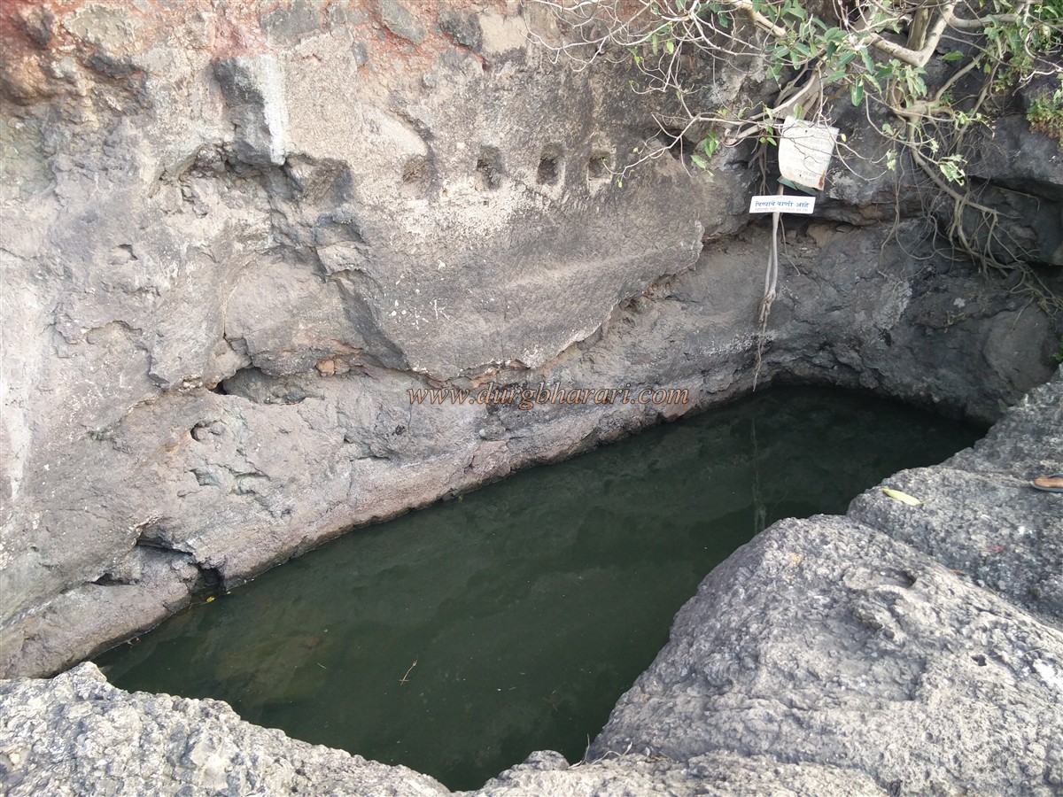
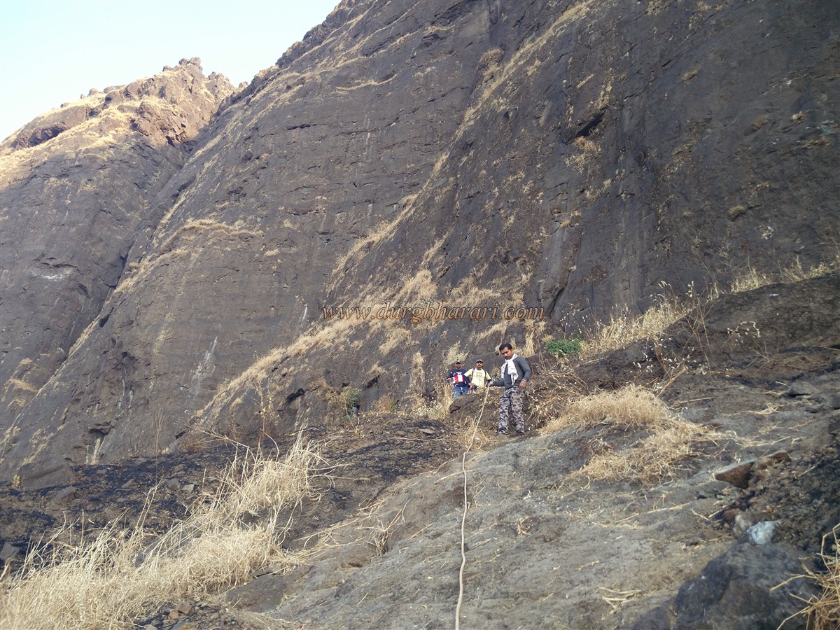
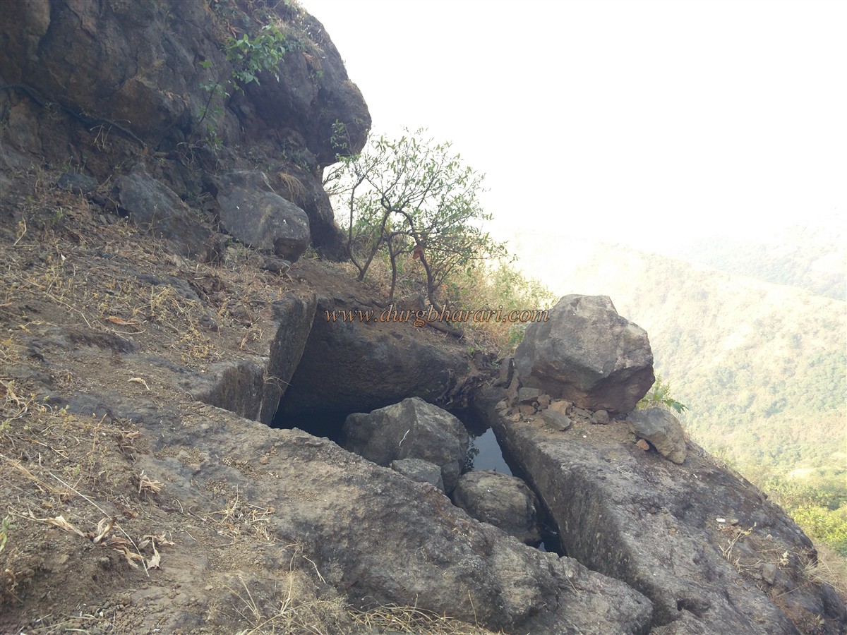
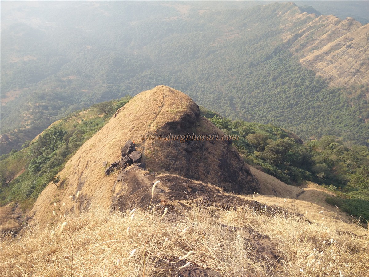
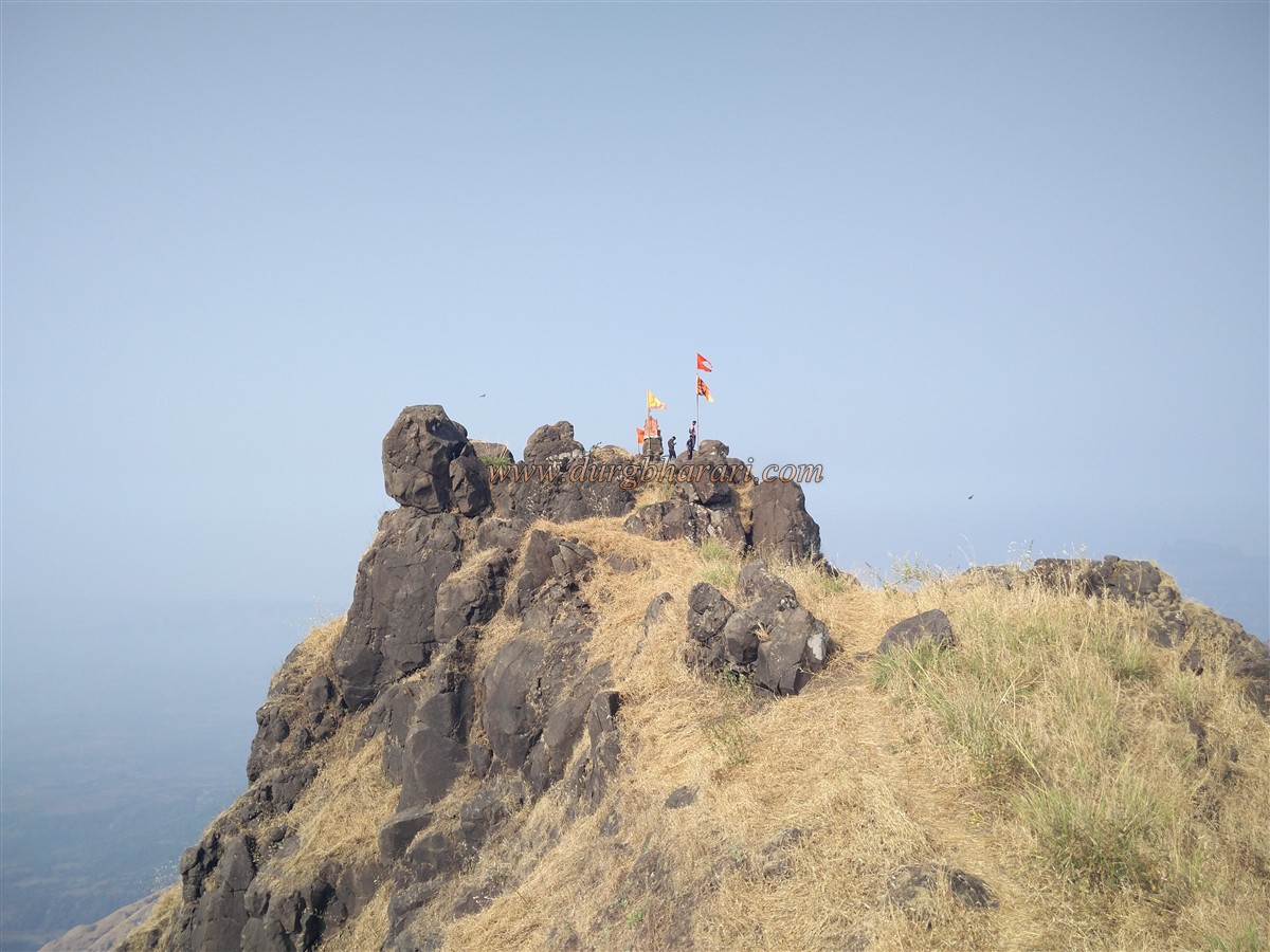
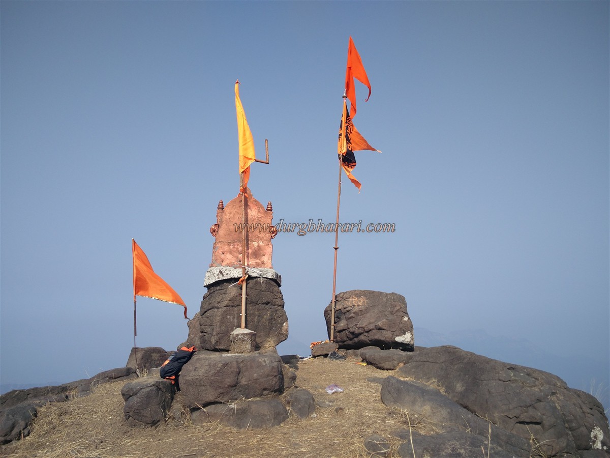
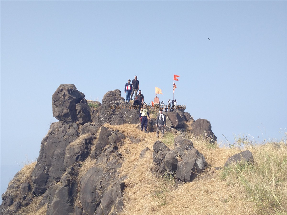
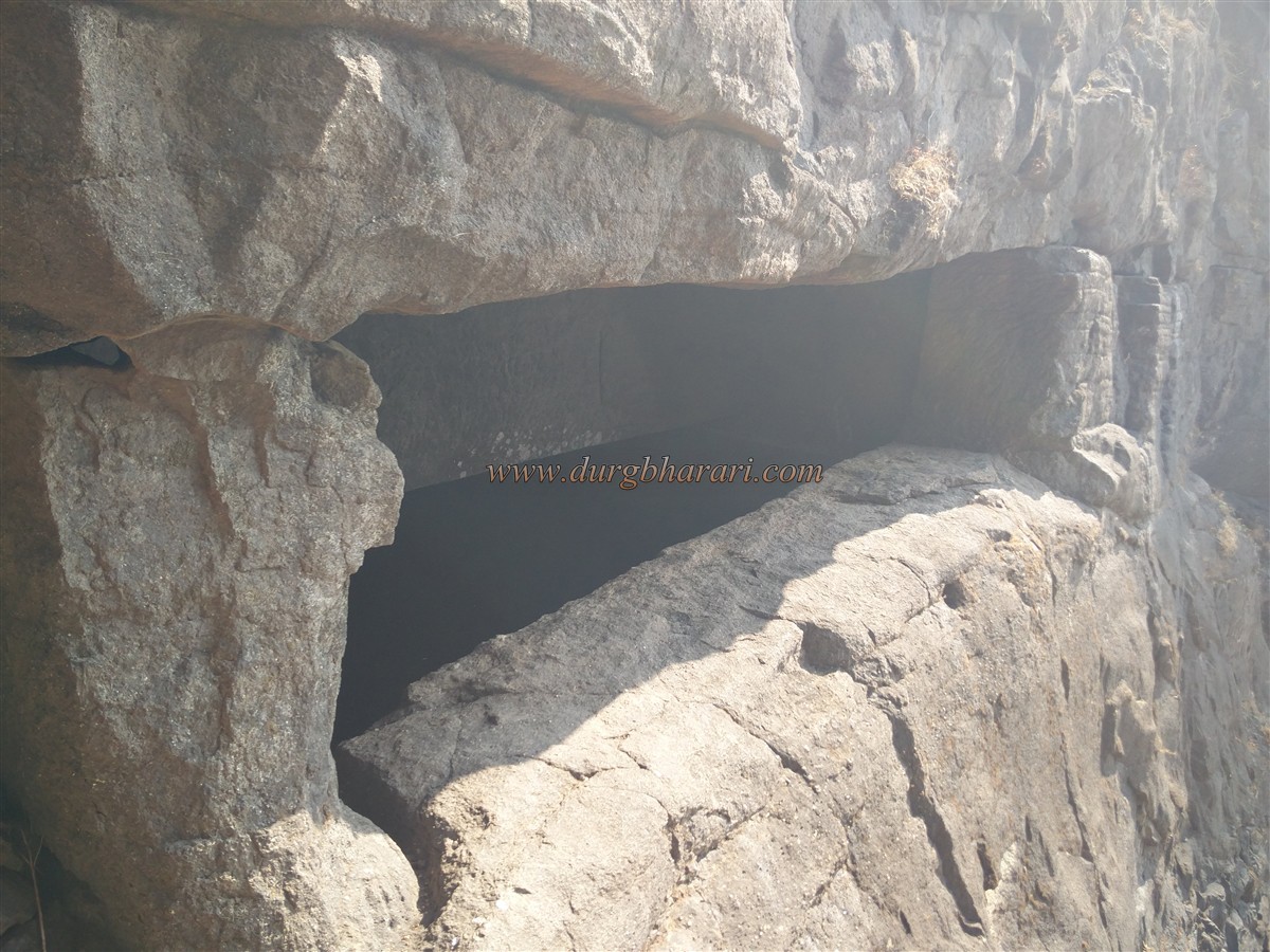
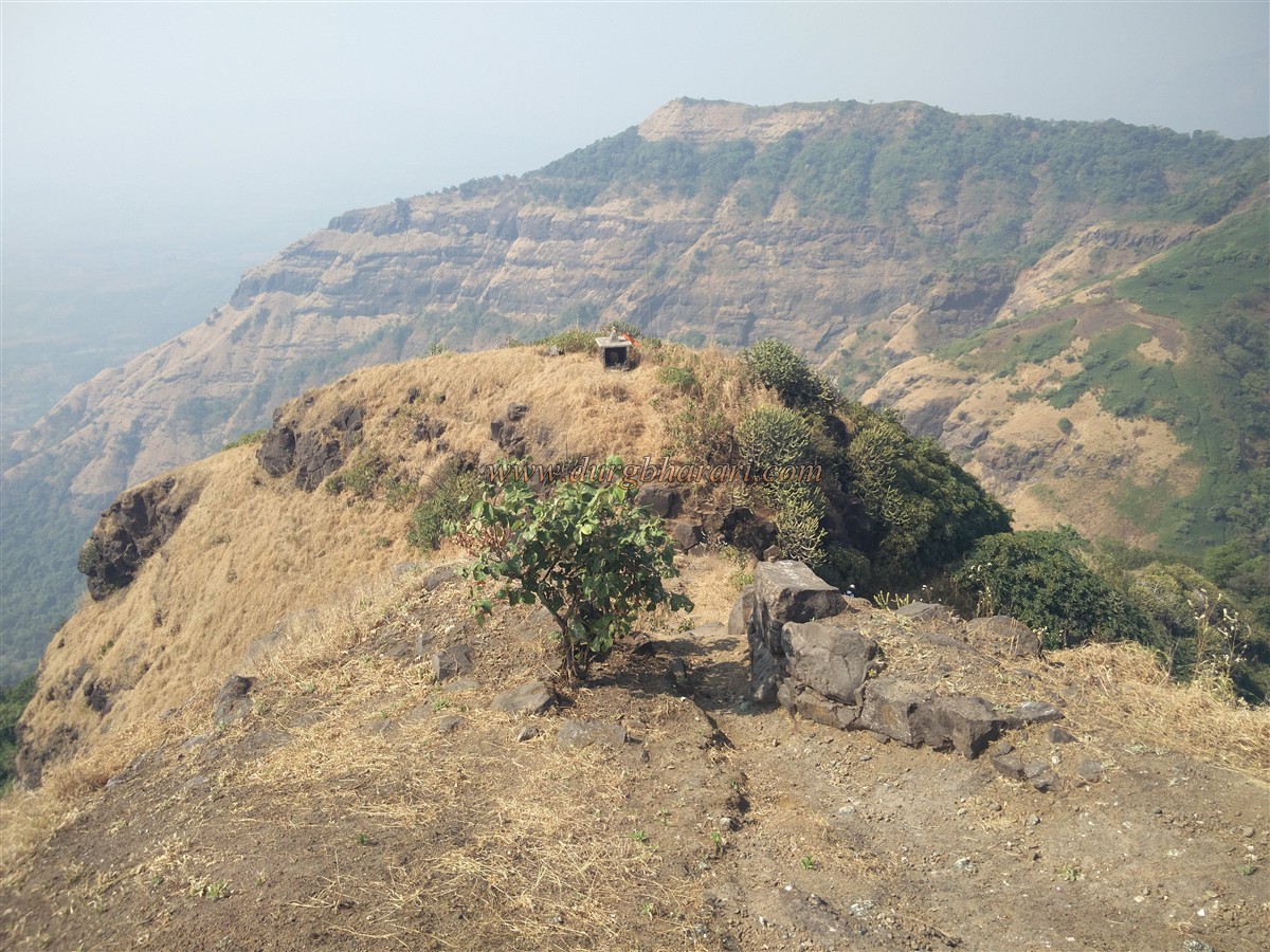
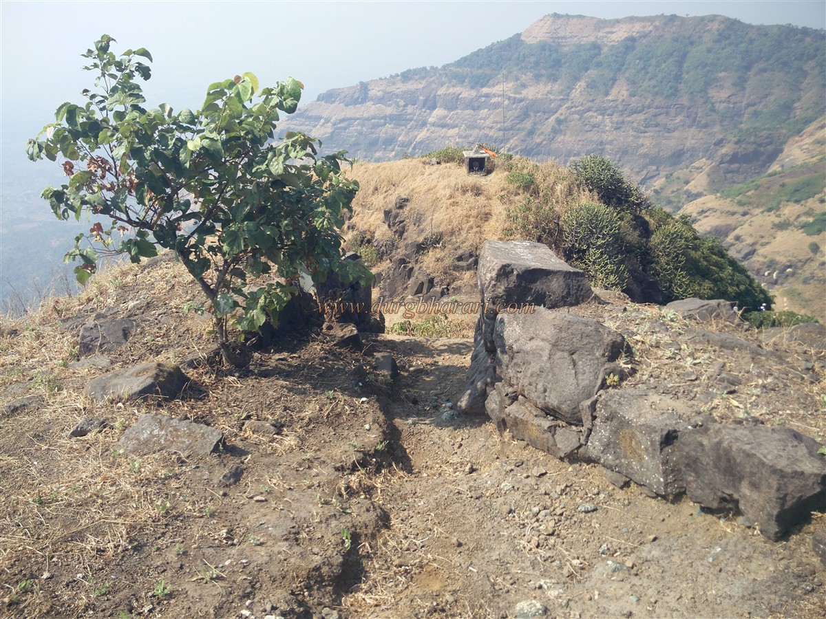
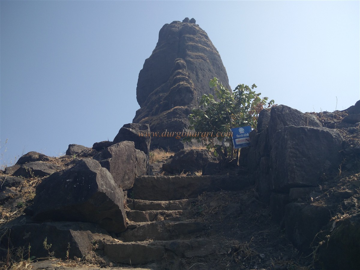
Chinchavli village is at a distance of 11 km from Badlapur station on Central Railway and 8 km from Wangani station. Rickshaws are available from both these stations to reach Chinchavli village. Due to the small hill behind Chinchavli village, Chanderi fort is not visible on reaching the village. There are two ways to reach the plateau from Chinchavli village. When you reach the plateau, you can see Mhaismal hill on the right and Chanderi fort on the left. There is a V-shaped notch in the trunk connecting these two hills and there is a way to reach the fort through this notch. Since the cave under the fort is the deity of the locals, they frequently visit the fort, so the path is visible. After crossing a half-hour grassy path on the plateau, we enter the dense forest at the foothills. The way up through this forest is the path of the flow of water. After climbing this path for about half an hour, this path turns to the right side. From here in half an hour we reach a small pass connecting Chanderi fort and Mhasmal mountain. From here, the road on the right leads to Mhasmal hill, the road on the left leads to Chanderi fort and the road leading down to the front leads to Dundre wadi in Tamsai village. On the way to the fort from the gorge, one can see the holes carved in the rock on the right side of the cliff at one place and four or five steps carved in the rock at two places. After about 15 minutes of climbing, we reach a small notch. The trunk connecting the fort is separated by a notch. At present, the villagers have installed the idol of the Goddess in this notch as well as on the hill in front of the notch. After climbing here, we reach the ruined gate of the fort. The gate of the fort and the adjoining bastions have been destroyed and only the base of these ramparts and bastion remains. This is the only remnant of the fort that remains today. When you enter through the door, you can see some steps carved in the rock, and when you look up, you can see the pinnacle of the fort facing the sky. Coming under this pinnacle, the path on the right leads you to a vast cave in the belly of the pinnacle. On the way to the cave, you can see two cisterns carved in the rock on the left. The first cistern has potable water which is available till February. To cover these cisterns with roof holes are carved in the rock on the upper side. The other cistern has dried up due to the accumulation of rock and sand. It takes two and a half hours to reach the cave from Chinchavli village. This natural cave is well spacious and has some excavations. Except for the rainy season, this cave can easily accommodate 30-40 people. There is a Shivling in a marble temple on a hill in the cave. The cave has a third water cistern but the water in it is not drinkable. Up to this cave can be easily reached but the road leading to the fort from here is dangerous and it is necessary to use rope and other equipment to climb this part. There is another small natural cave in the next part of this road which is adjacent to the cliff, but this cave is not easily visible as it has collapsed. From here onwards you have to descend about 30-40 feet. Since there is a gorge at the bottom of this slope, this part should be carefully crossed with the help of ropes and other equipment. After walking for 10 minutes on the footpath here, we reach the second stage of the fort. At this stage, there is some flat surface at some places as well as a steep part. Below this area, there are four deepwater cisterns carved deep inside the rock and this cistern contains potable water throughout the year. From here, looking at the pinnacle, you can see small steps carved in the rock. Climbing these steps, we reach the upper part of the fort. From here, the head of the fort is divided into two parts by a ravine and this part of the slope has to be climbed with some care. There is another large square-shaped water cistern on the right side of the gorge. Considering these two cisterns in this part of the fort, this fort must have existed before Shivaji Maharaj’s era. From here we cross some small cliffs and reach the highest part of the fort. The head of the fort is a long path and the remains of an outpost can be seen at two places on this path. The height of the fort is 2700 feet above sea level and the top of the fort has enough space to accommodate 20 people. There is an idol of Shivaji Maharaj sitting on his throne and a saffron flag is hoisted besides this idol. A far wide distance can be seen from the top of the fort such as Matheran, Peb, Prabalgad can be seen to the south, Malanggad to the north, and Bhimashankar Plateau, Siddhagad, Gorakshgad, Peth fort to the south, This fort is located in the central part of all these forts. Considering the remnants present on the fort and the water cisterns, this fort must have been used only for observation. In 1656 AD when Shivaji Maharaj captured Kalyan, Bhiwandi, and Rairi province. After the death of Sambhaji Maharaj, in 1689, the Mughal chief Matabbar Khan captured Chanderi fort along with Kalyan and Malanggad forts.
© Suresh Nimbalkar
GALLERY