CHANDAN
TYPE : HILL FORT
DISTRICT : SATARA
HEIGHT : 3755 FEET
GRADE : MEDIUM
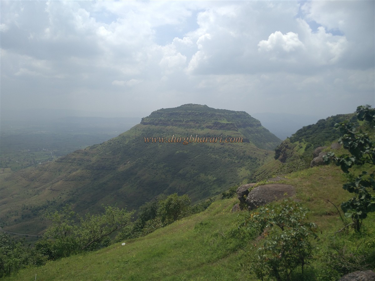
The Mahadev mountain range is in the northern part of Satara district and its forks are very large and rocky and have many cliffs made out of basalt rock. From the main Mahadev mountain range, Chandan-Vandan, Vardhangad, and Mahimangad are three forks to the south. Among them, the Chandan-Vandan fork starts from Harli to the east of Khambhatki and extends to the confluence of the Krishna-Vasana rivers in the south. The Krishna and Vasana valleys are separated by this mountain range and Chandan-Vandan is two hill forts located in the middle of this range. During the reign of Shilahar king II Bhoj. Chandan and Vandan fort was built between 1178 and 1192. These forts are built on a single hill near Satara are separated by a gorge, and as these forts have separate fortifications, it would be appropriate to call them separate forts.
...
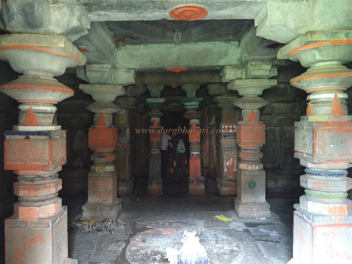
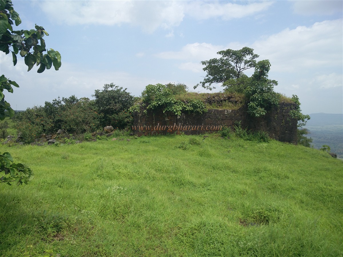
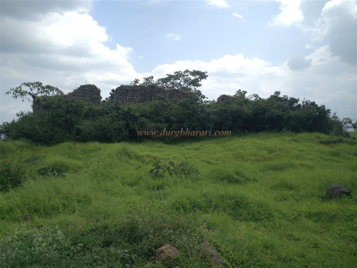
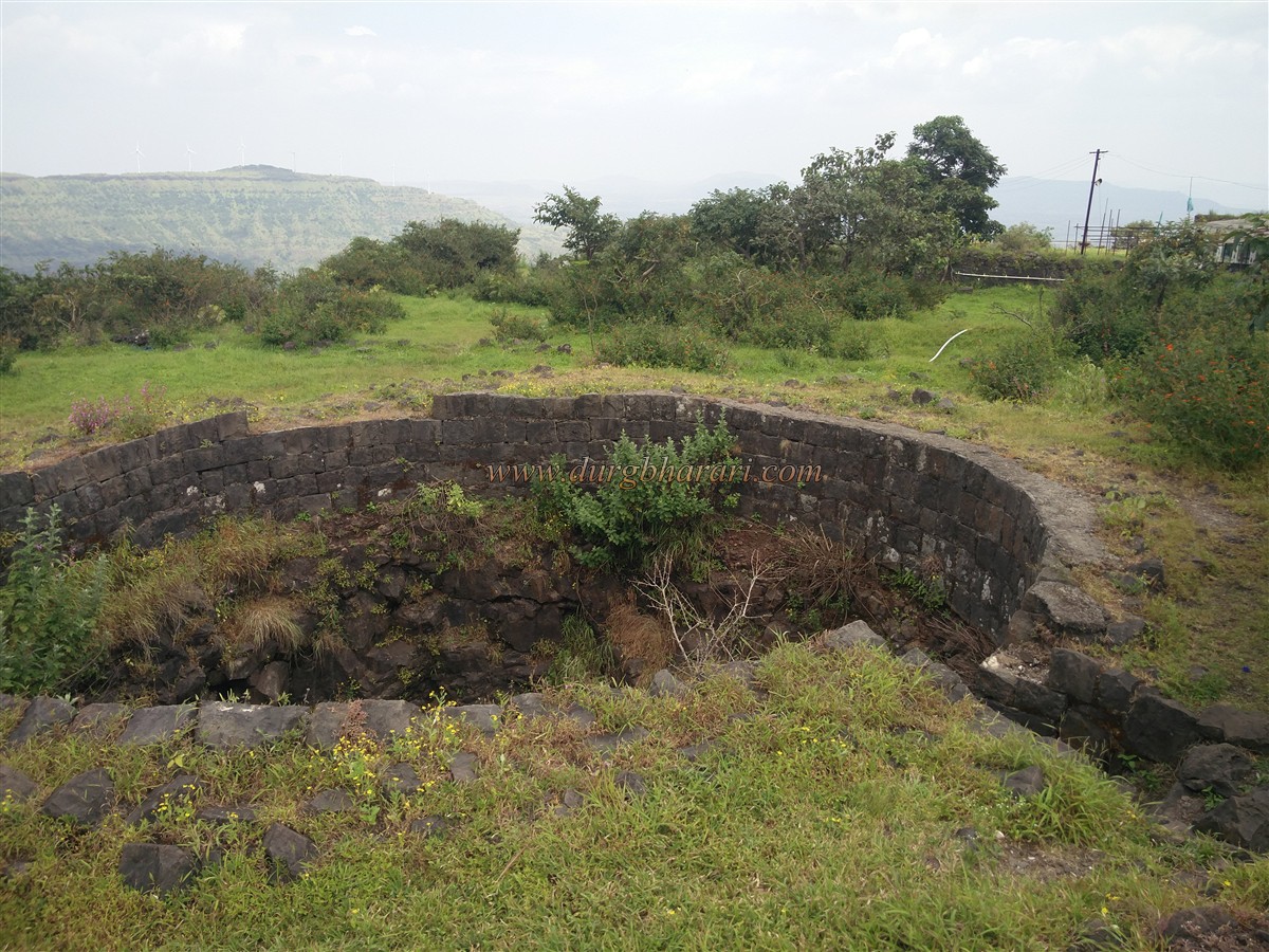
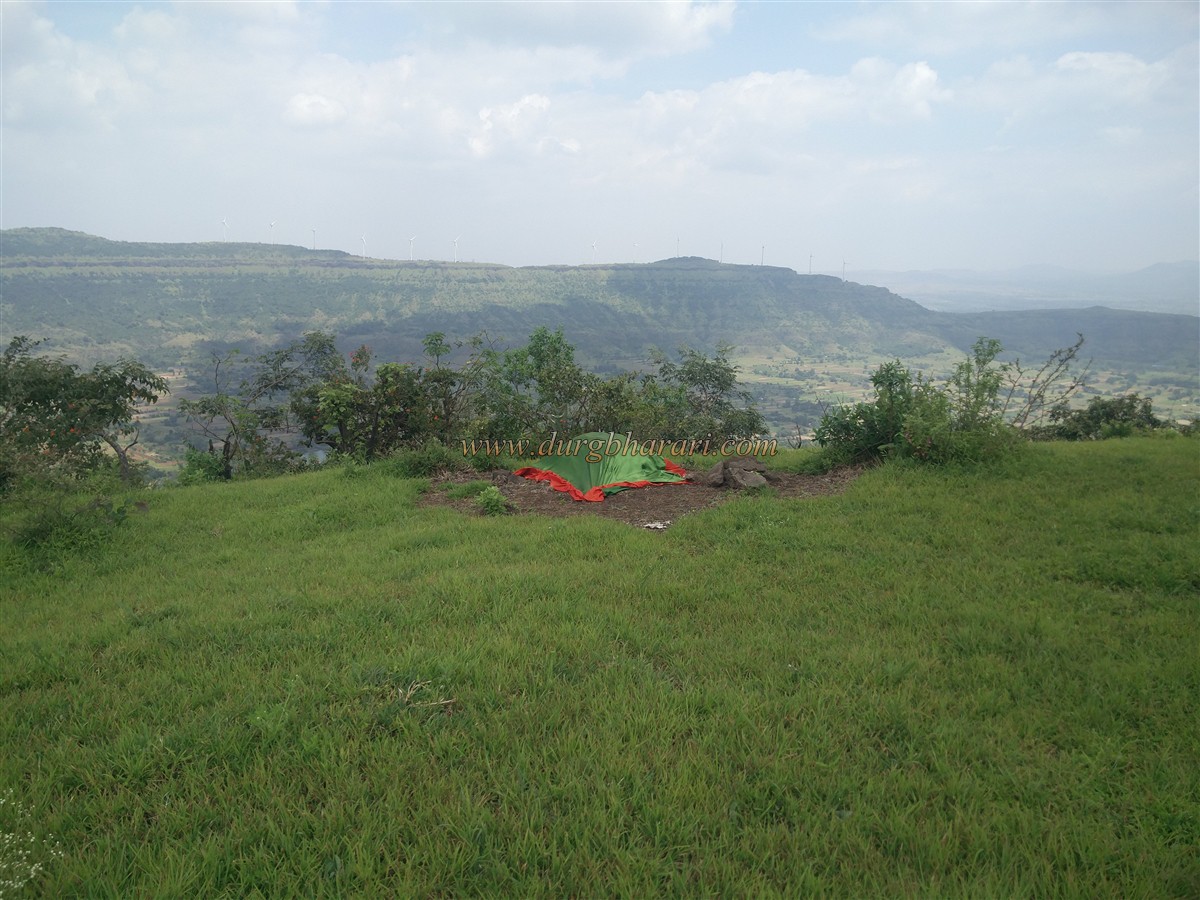
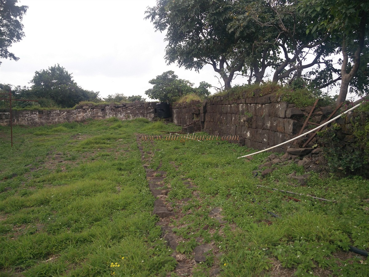
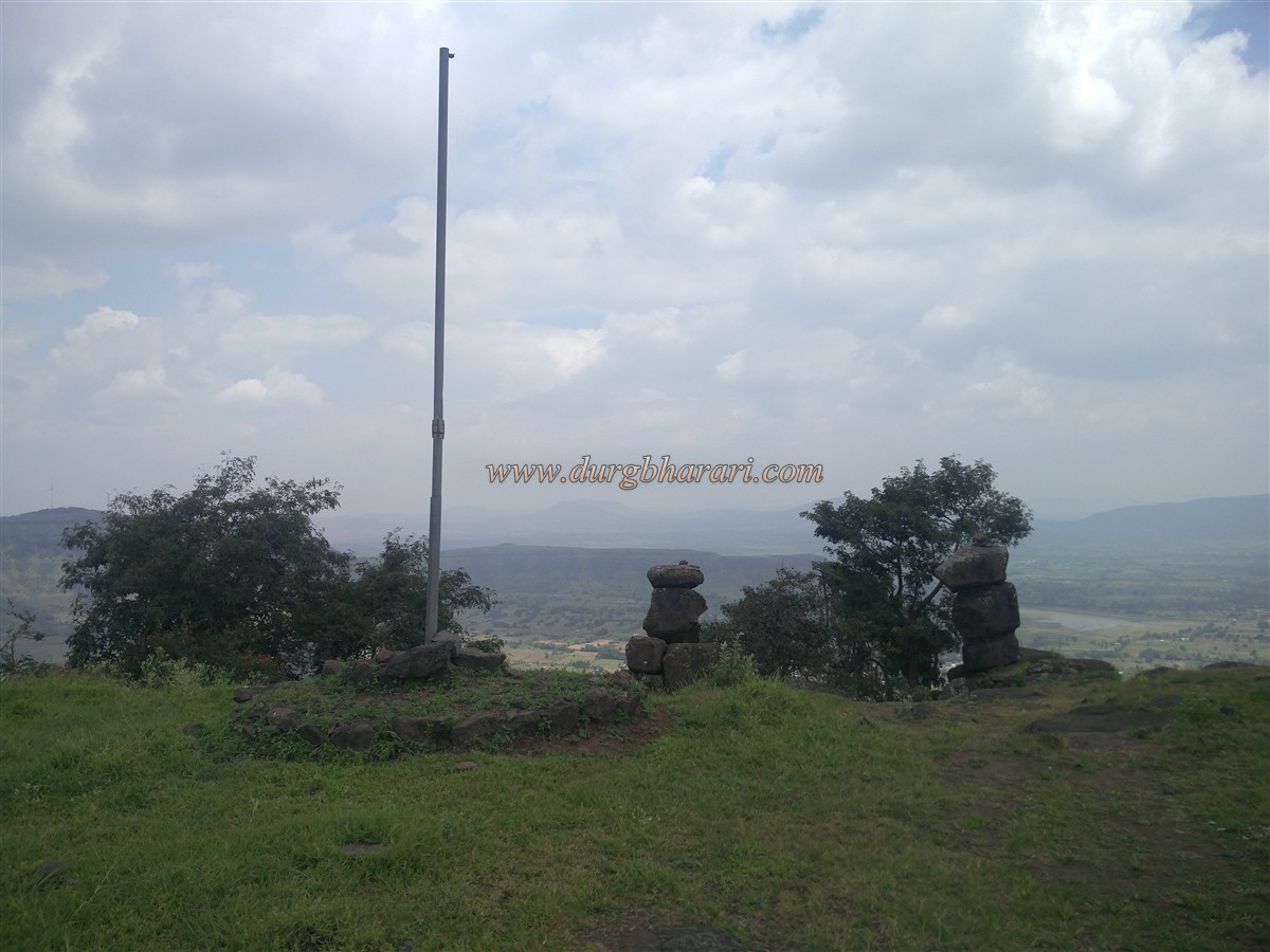
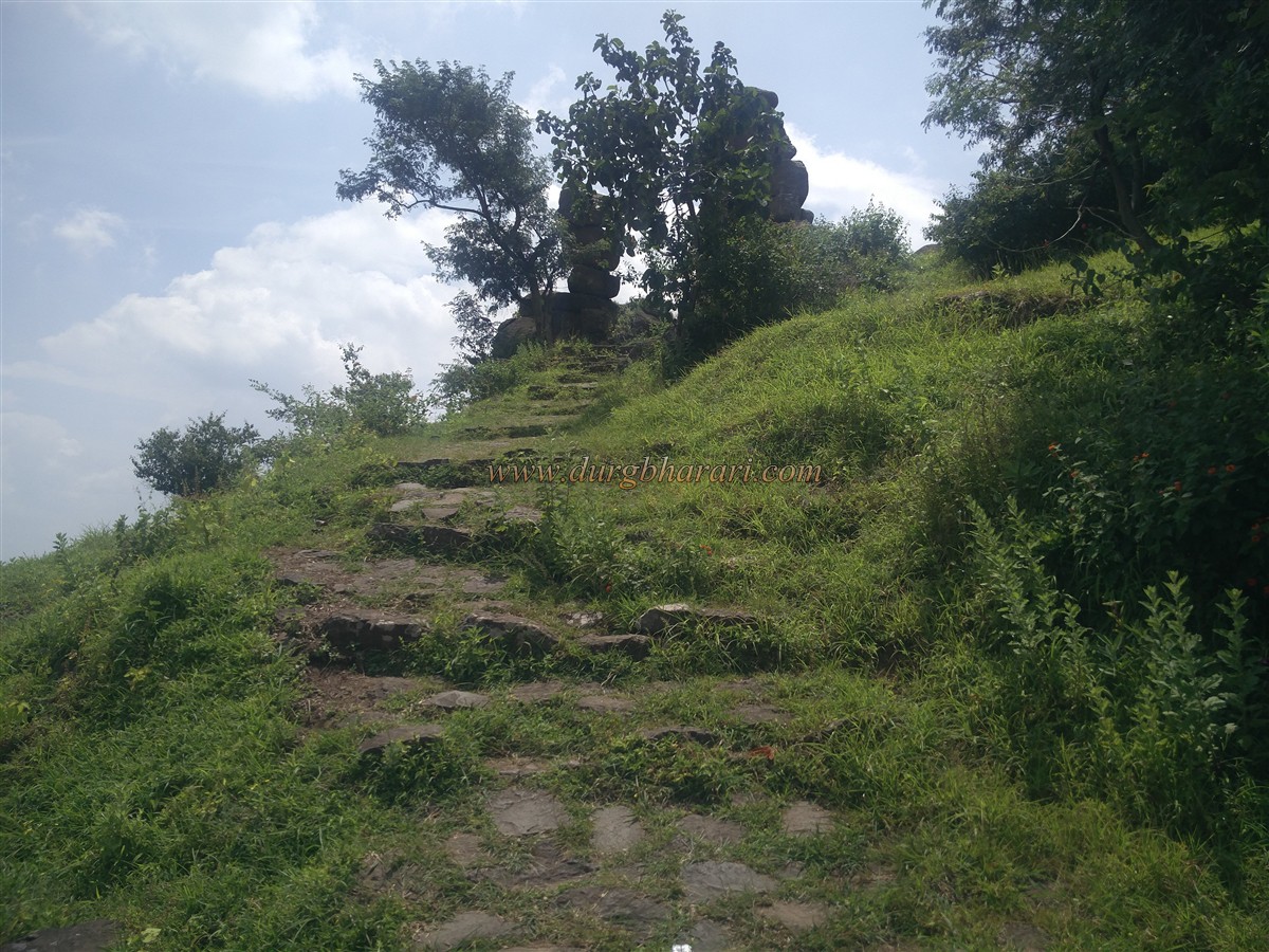
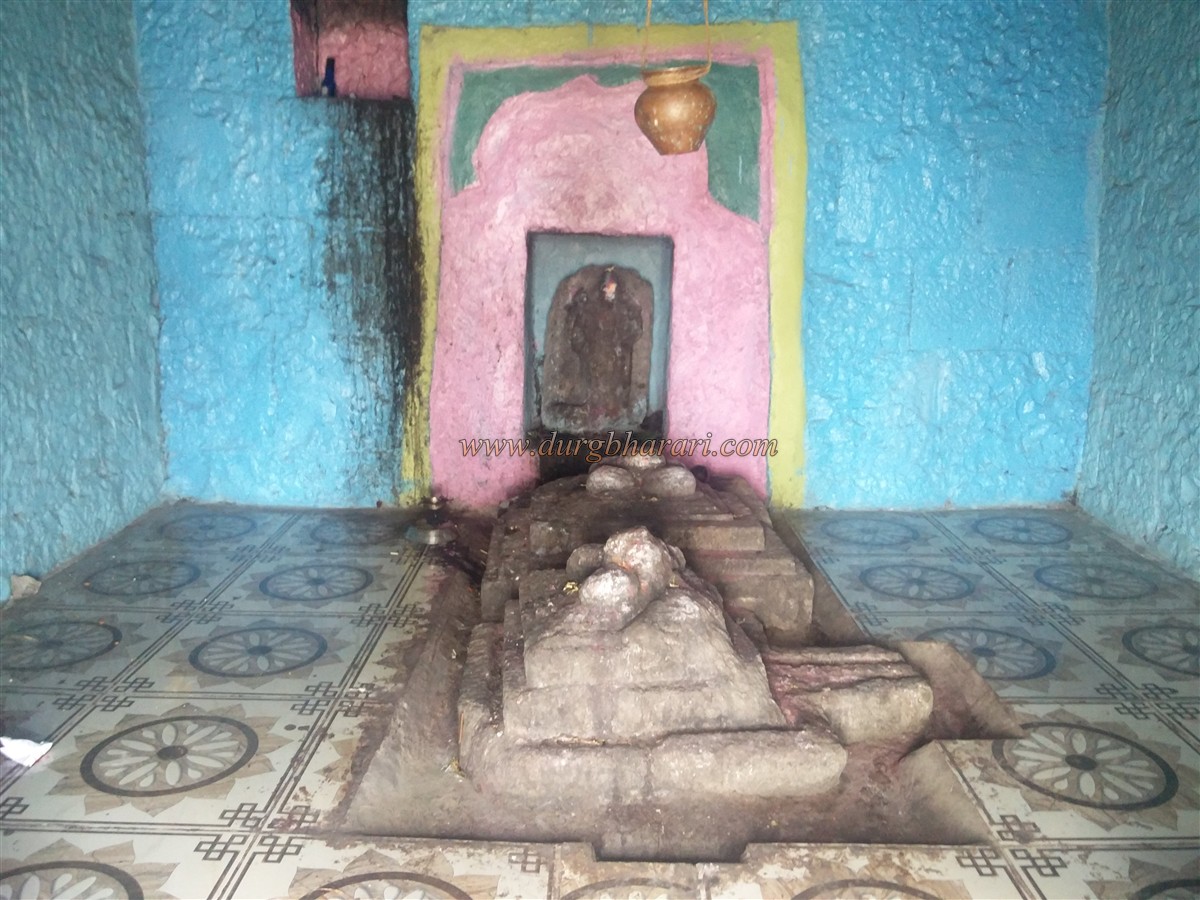
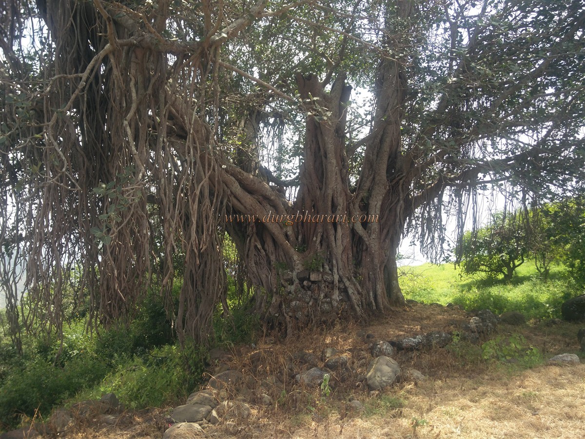
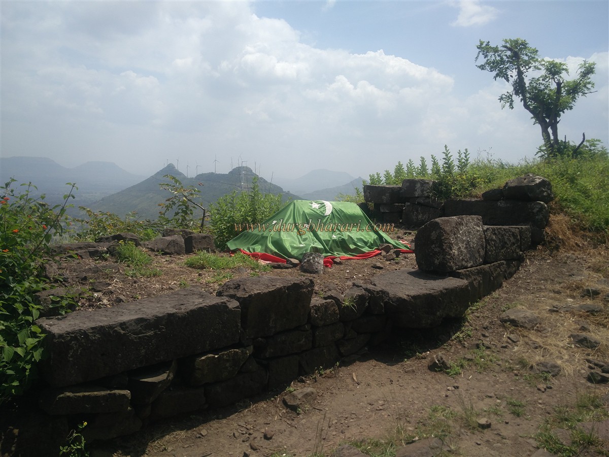
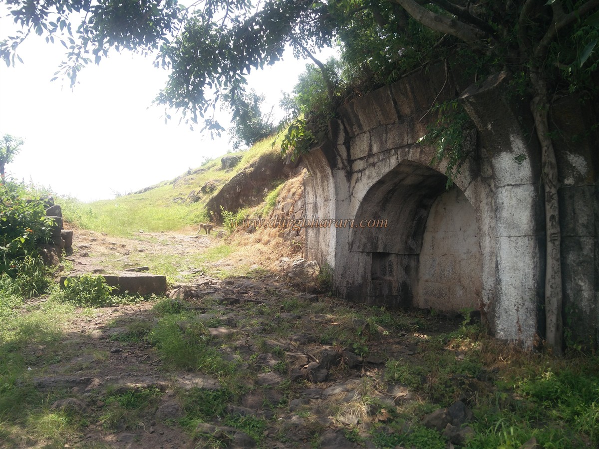
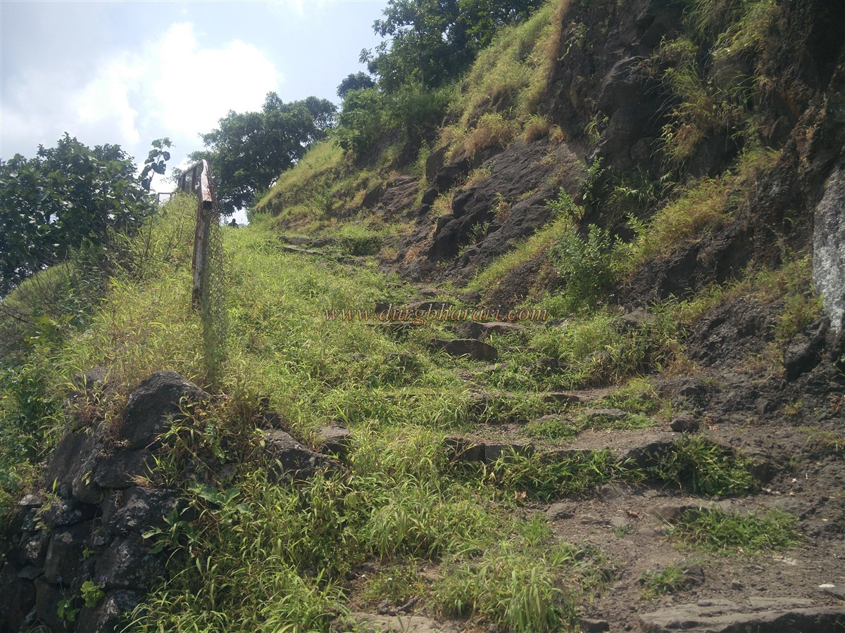
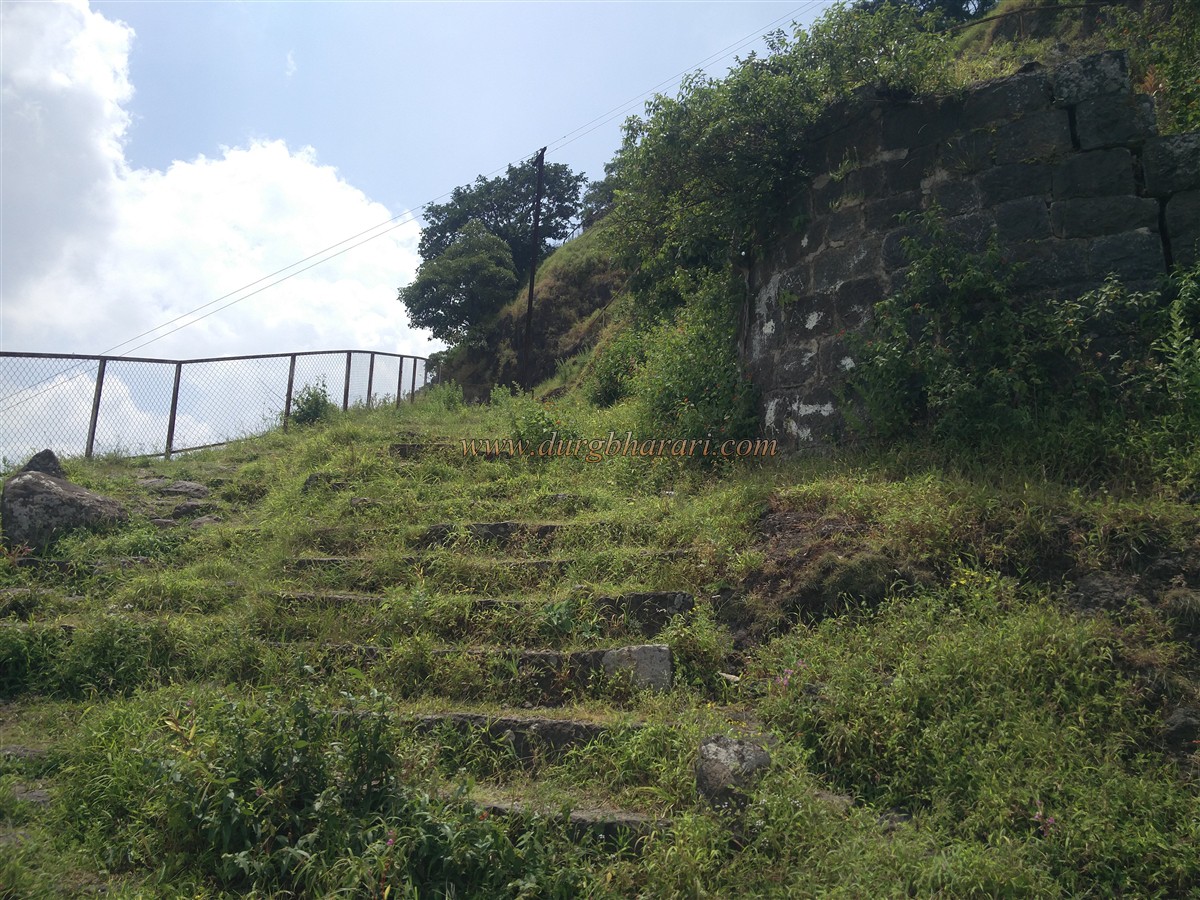
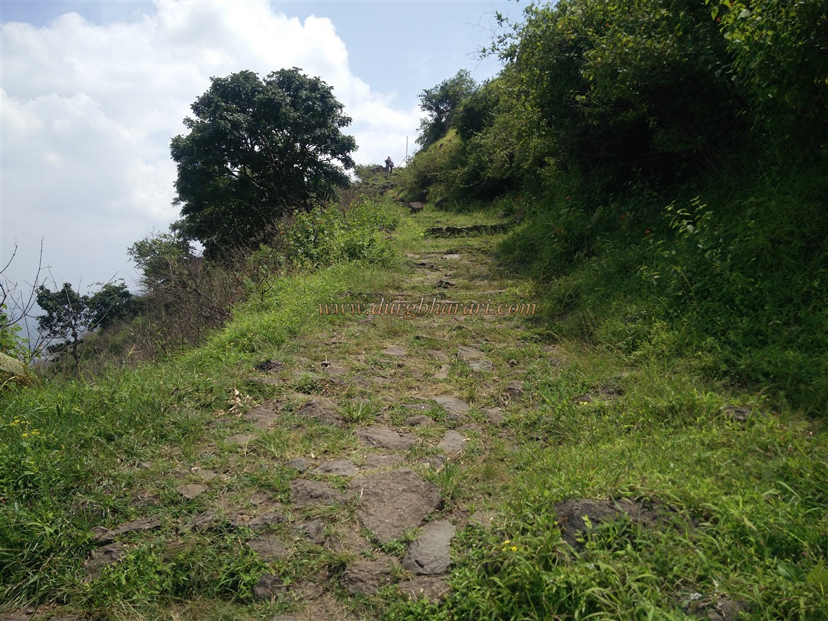
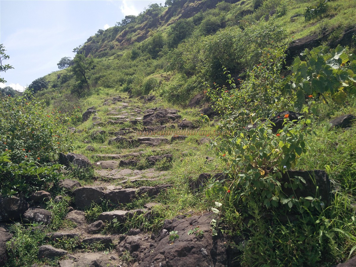
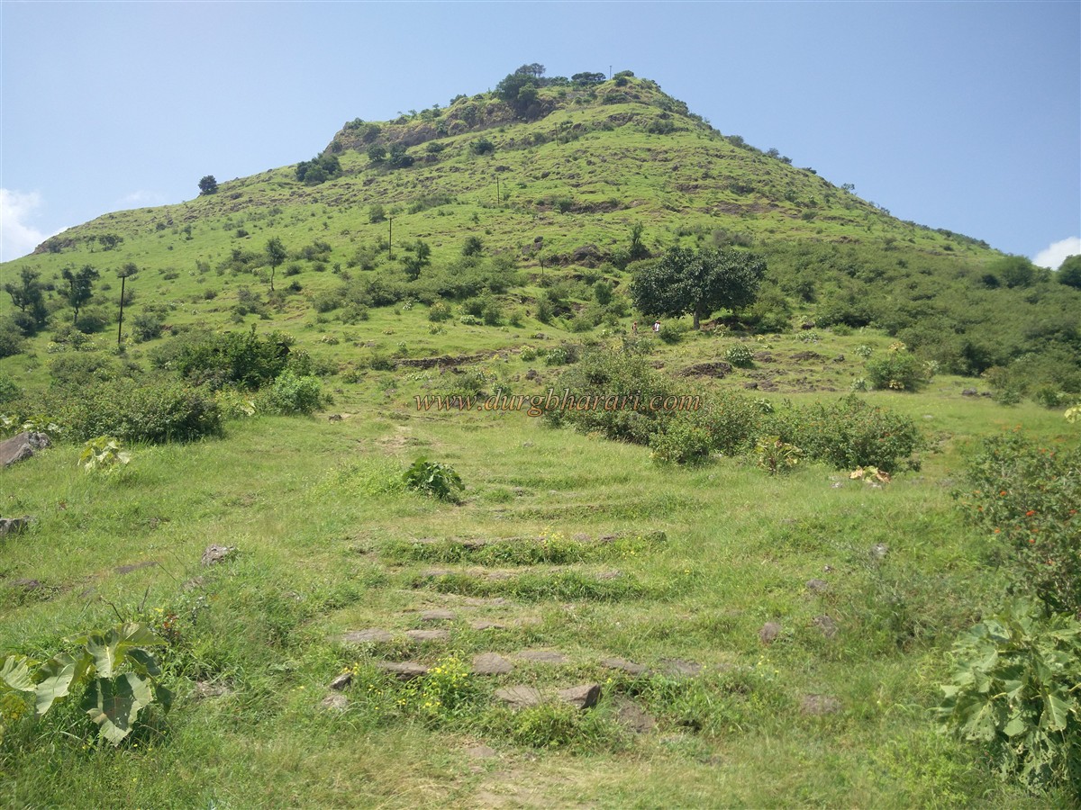
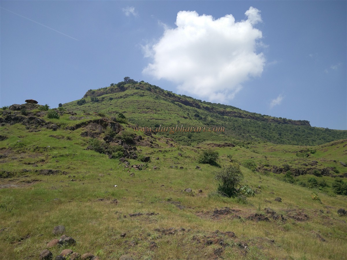
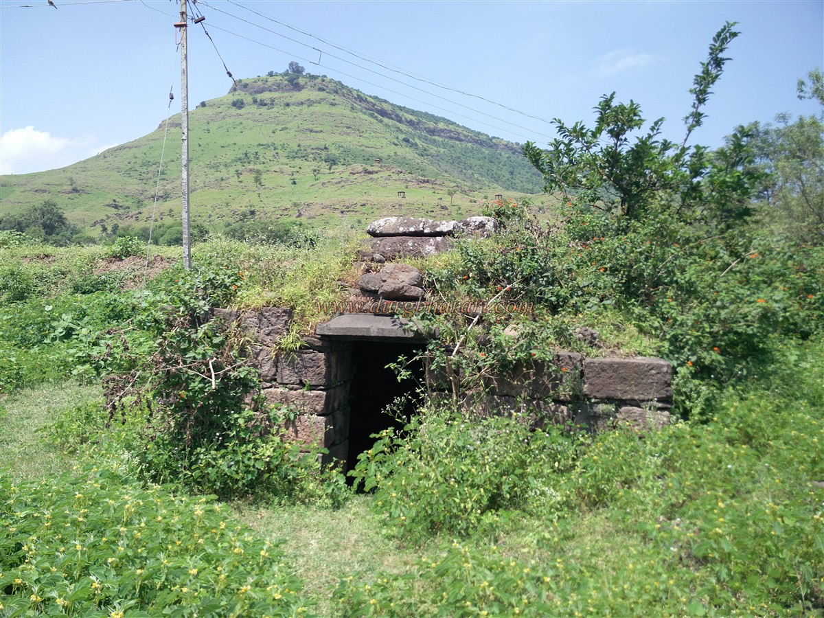
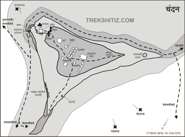
Both forts are in different talukas. Chandan fort falls within the limits of Banwadi village in Koregaon taluka. If you want to visit both Chandan-Vandan forts together or if you want to come to Chandan fort from Vandan fort, the village of Belmachi at the foot of these forts is convenient. Belmachi is a village at the foot of the fort at a distance of 100 km from Pune via Bhuinj Kikli and 20 km from Satara. A path leads to the fort from the valley of Belmachi village. Looking at the ancient Bhairav temple at the beginning of the road and the steps built on the road, this should be the main road leading to the fort. In an hour's walk through the bushes, we reach the gorge between the two forts. The fort on the right is Vandan and the fort on the left is Chandan. From here you can reach Chandan fort in half an hour by taking a steep ascent for half an hour on the left or by taking a detour to the fort. A road from Belmachi takes a detour to Vandan fort and goes to Ibrahimpur in Banwadi village at a distance of 9 km. On entering the village, a medieval aged tomb can be seen on the way. The village has a medieval aged Shiv temple carved out of rock and the Shivling in the sanctum sanctorum of this temple is underwater for about 6 months. A tour of the village reveals many remains and sculptures. The fort is under the control of the forest department and work is underway to build steps to reach the fort. There is a forest department outpost at the beginning of the road leading to the fort and the forest department has built cement shelters at three places on this road. Except for these three shelters, there is no shade on the road, so the entire road has to be crossed in the heat of the sun. At the beginning of the path, there are newly built steps and then the original steps of the fort began. At one point on this road, a ruined quadrangle structure can be seen. This should probably be the outpost on this road to the fort. It takes about an hour to walk from the base to the ruined gate of the fort. Two collapsed bastions can be seen in front of the door. Such a structure can be seen in two places in front of the door. The original gate of the fort was broken and another gate may have been built later, but the gate here at present time has also been destroyed. The north main entrance of the fort has been completely demolished and only half of the arch remains. The arch is heavily buried in the ground. There is a guard porch on the inside of this door. At some distance inside the door are the remains of a fallen structure and a tomb can be seen in it. After climbing a few steps across the tomb, on the right side of the road, there is a huge Banyan tree and the locals know this tree as pachwad. There is a small Shiv temple near this tree and the Shivling inside this temple is of a different type. This temple is believed to have been built during Shivaji Maharaj’s period. As you enter the fort by the steps leading to the temple, you can see large round stone pillars on either side of the road. Through these two stone pillars, you enter the fort. The head of the fort is a wide plateau and this triangular-shaped plateau is spread over 38 acres from east to west. The height of Chandan fort on the plateau is 3690 feet above sea level and 950 feet from the base of Ibrahimpur. The fort is surrounded by natural cliffs and is fortified in certain areas. The height and size of Chandangad are more than Vandangad. Upon entering the head of the fort, there is a flagpole on the right side and a Dargah can be seen in front. The Dargah has a temple-like wall and another tomb can be seen inside this wall. There is a door to the north to enter the courtyard of the Dargah. Another tomb can be seen in front of this door. There is a circular well with steps outside the wall at the back of the dargah and the water of this well is used for drinking but this water is stored from monsoon till March. On the right side of the well, at some distance, the remains of a large structure can be seen. This building should be the mansion of the fort keeper or the headquarters of the fort. Remains of many small houses can be seen at the back of this building. The area has a pond to store rainwater but is now dry. The path on the right side of the lake takes you through the bushes to the northern end of the fort. There is a Samadhi on a quadrangle structure on this road and Shivling is carved on the upper side of this structure and Maruti idol is carved on one side. This site has been protected by building a large bastion at the northern end of the fort. From the northern end of the fort, on the way to the south, you can see a dilapidated building with four rooms. As you climb the wall, you can see the basement and the steps leading down to it, but due to the thorny bushes inside it is impossible to get there. According to some people, it is a granary, while according to others, it is an ammunition depot. But due to the overgrown bushes, it is difficult to guess as the structure cannot be seen clearly. On the way to the Dargah, you see a large decorated quadrangle structure, but one cannot guess what exactly it should be. After seeing this structure and coming to the Dargah, your fort round is complete. Even if there are only a few remains, the perimeter of the fort is large and it takes two hours to walk around the entire fort. From the top, the entire area of the fort as well as the forts of Vairatgad, Ajinkyatara, Kamalgad, Kenjalgad, Pandavgad, Kalyangad, and its surrounding region can be seen. If you want to stay at the fort, 30 to 40 people can stay in the Dargah. According to the copperplate of the year 1191-1192, these forts were built by Shilahar king II Bhoj. Between 1337-38, Satara province came under the rule of Bahamani Sultans. This part came under the Adilshahi rule of Bijapur in the sixteenth century after the Bahamani rule. Even if Chandan fort was built by Raja Bhoj, most of the constructions on the fort date back to the Adilshahi period. After the assassination of Afzal Khan in 1659, Shivaji Maharaja invaded the Adilshahi province and conquered the fort of Satara. After conquering the fort of Satara, Chandan-Vandan forts were also conquered by Shivaji Maharaj. During the reign of Sambhaji Maharaj, in February 1685, Mughal Sardar Amanullah Khan attacked the Marathas at Chandan-Vandan and captured 25 horses, 20 cannons, 2 flags, and 1 drum. This area which was under the control of Marathas till 1689, later came under the control of Mughals. After the death of Rajaram Maharaj, in the Mughal-Maratha war, on 25th August 1701, it is recorded that the Mughals captured Chandan fort. Chhatrapati Shahu Maharaj conquered this region in the year 1707 and brought Vandangad back under the control of Marathas. It is recorded that Balaji Vishwanath appointed Dadopant on this fort to keep an eye on Tararani. In 1818, the British conquered Chandan and Vandan forts.
© Suresh Nimbalkar
GALLERY