BORISAVARGAON
TYPE : FORTRESS
DISTRICT : BEED
HEIGHT : 0
GRADE : EASY
While exploring the forts of Marathwada, one encounters very few actual forts. This region is far from the main Sahyadri mountain range and is largely composed of flat plains and small to medium-sized hills. Unlike the rugged terrain of the Sahyadri, this area is quite different, which is why many fortified mansions (gadhis) rather than large forts were constructed on the hills here. As a result, we find more gadhis than actual forts in this region.
During a fort exploration in Beed district, such a ruined and ancient gadhi can be seen in Bori Sawargaon in Kej taluka. It is said that the village got its name because of the abundance of bori (jujube) trees in the area. The distance from Ambejogai to Bori Sawargaon is 18 km, and the gadhi is about 23 km from Kej, the taluka headquarters. Given the transportation facilities in the region, it is advisable to use private vehicles for travel.
...
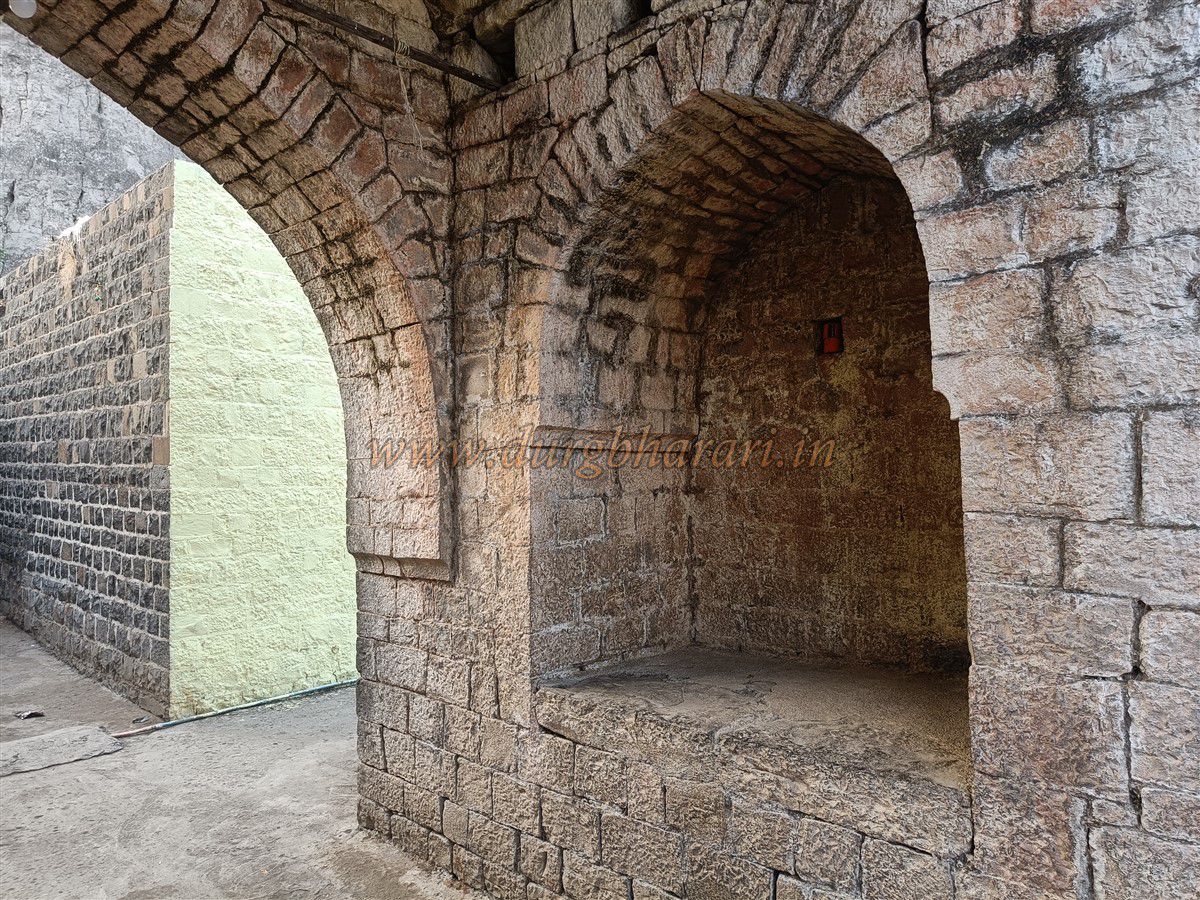
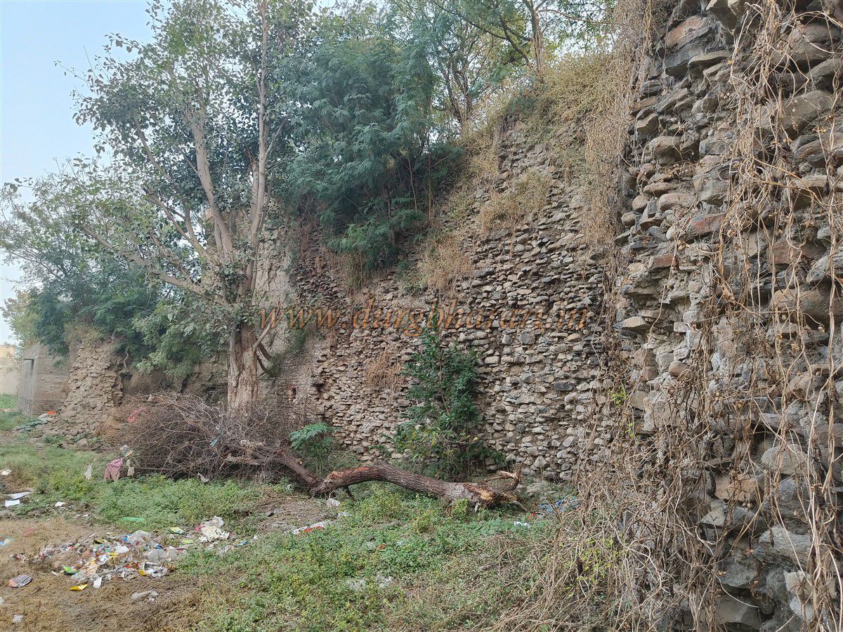
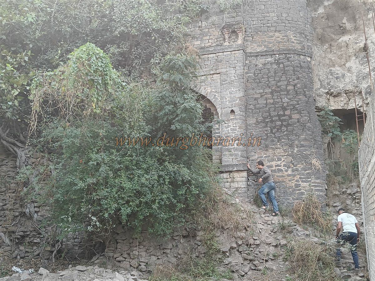
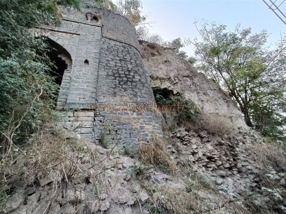
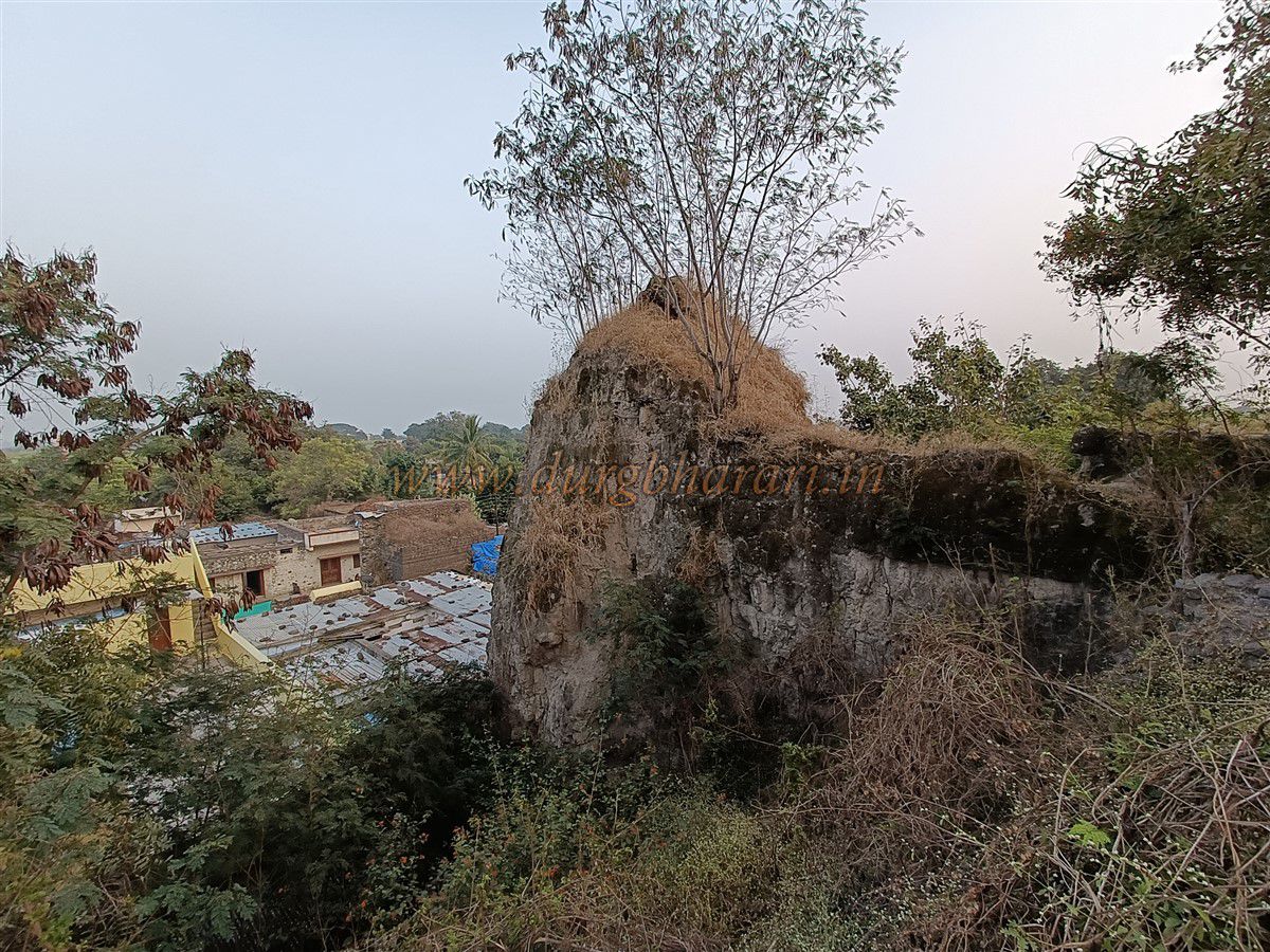
As you enter the village, the remains of a bastion near the Hanuman temple suggest that the entire village was once enclosed by fort walls. The structure of the Bori Sawargaon gadhi resembles that of a ground fort (Bhuikot), and it once had an outer fortification (parkot), which is now completely destroyed. Only the main gate and a small part of the wall remain. The main gate is built from well-cut stone and is spacious, with guard chambers (devdis) on the inner side. The structure of the gate hints at the former grandeur of the gadhi.
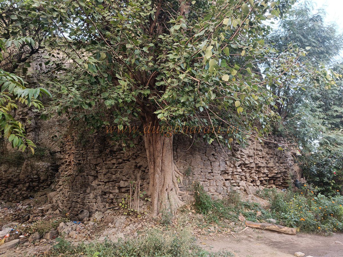
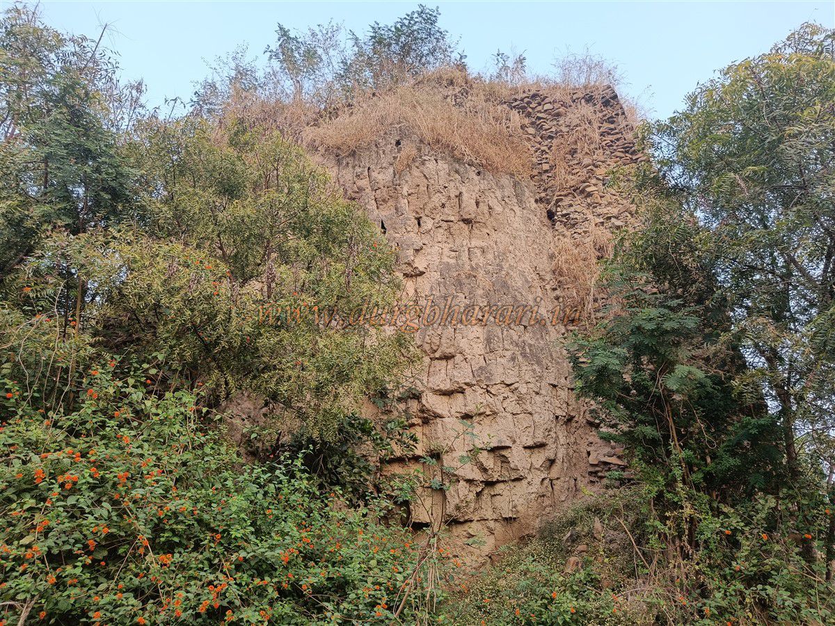
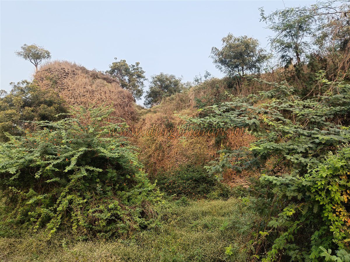
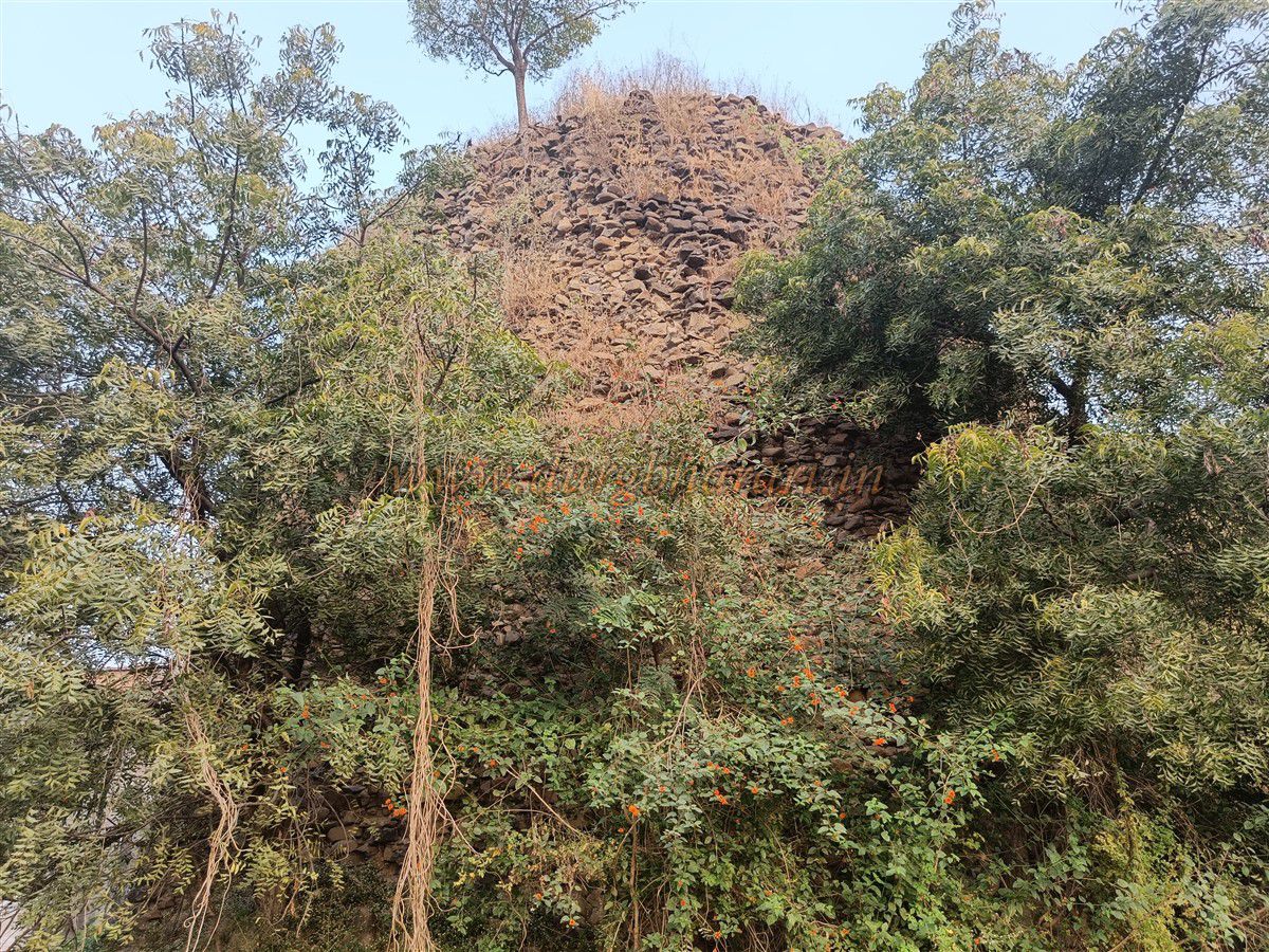
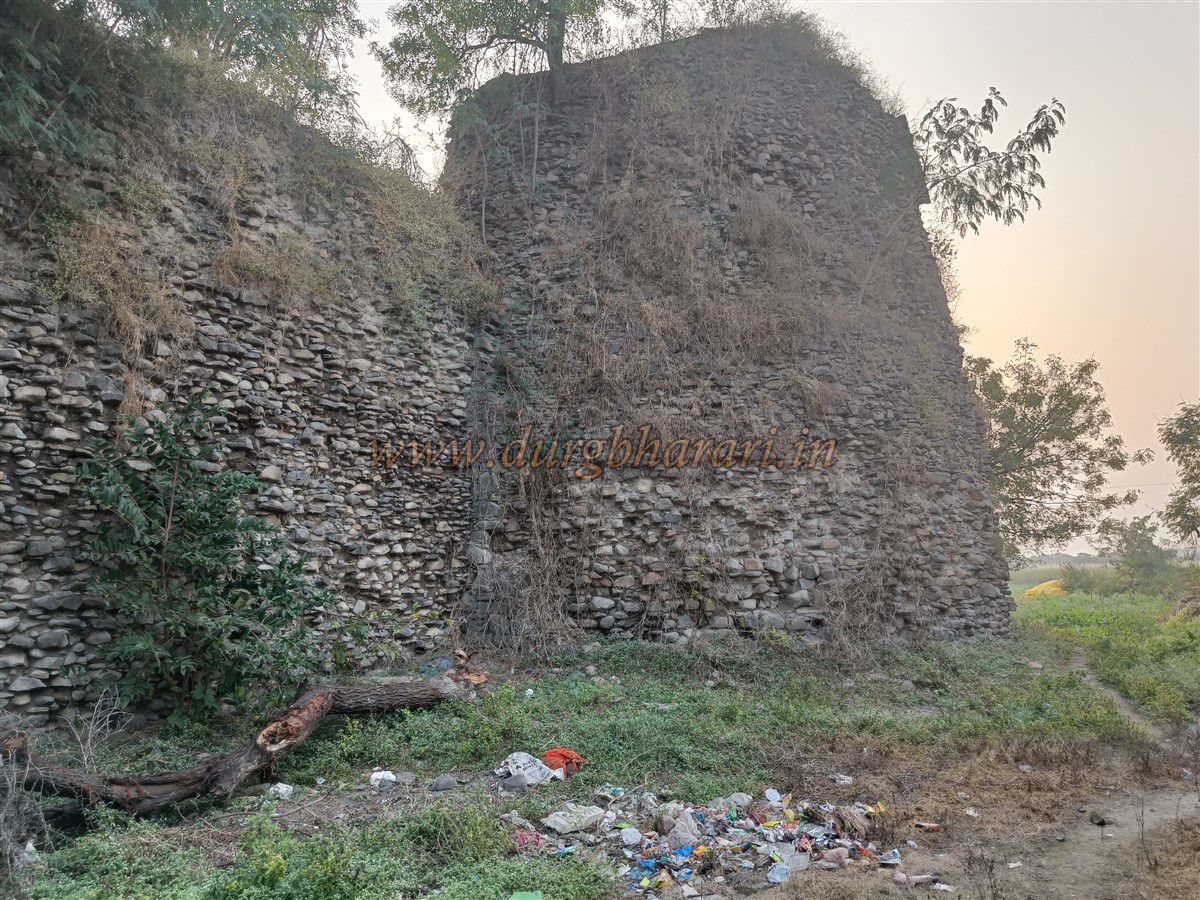
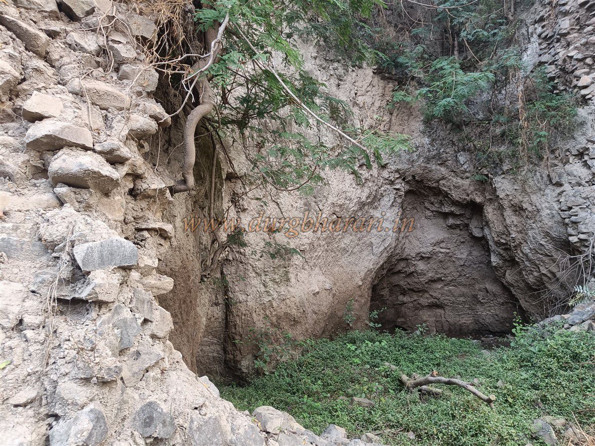
In the area where the parkot once stood, new houses have been built, using stones from the original fort walls and the gadhi itself. Although the entire gadhi was originally constructed in stone, it is now in a dilapidated state. The walls stand about 35 feet high, and the parapets on top are built from white clay. These parapets have mostly collapsed, and the loopholes (jangya) meant for gunfire are no longer visible.
The main gadhi has five bastions, with a gate located in one of the central bastions. The entire Kot area spans around two acres, while the inner gadhi covers approximately 12 Guntha. The entrance to the gadhi is slightly elevated and, like the parkot, faces north. Since the doorway is at a height, there must have once been steps leading up to it, but now one has to climb over mounds of earth to enter.
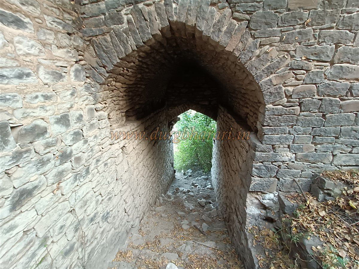
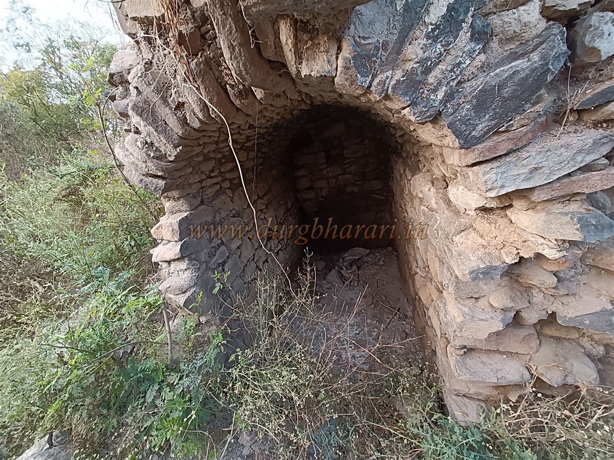
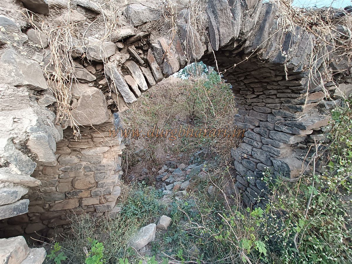
After entering through this door, one finds themselves in a narrow space between the inner and outer walls. Climbing from this space, a second gate appears on the right wall. The arch of this gate has completely collapsed, but guard chambers can still be seen on either side. Entering through this gate, one arrives inside the gadhi.
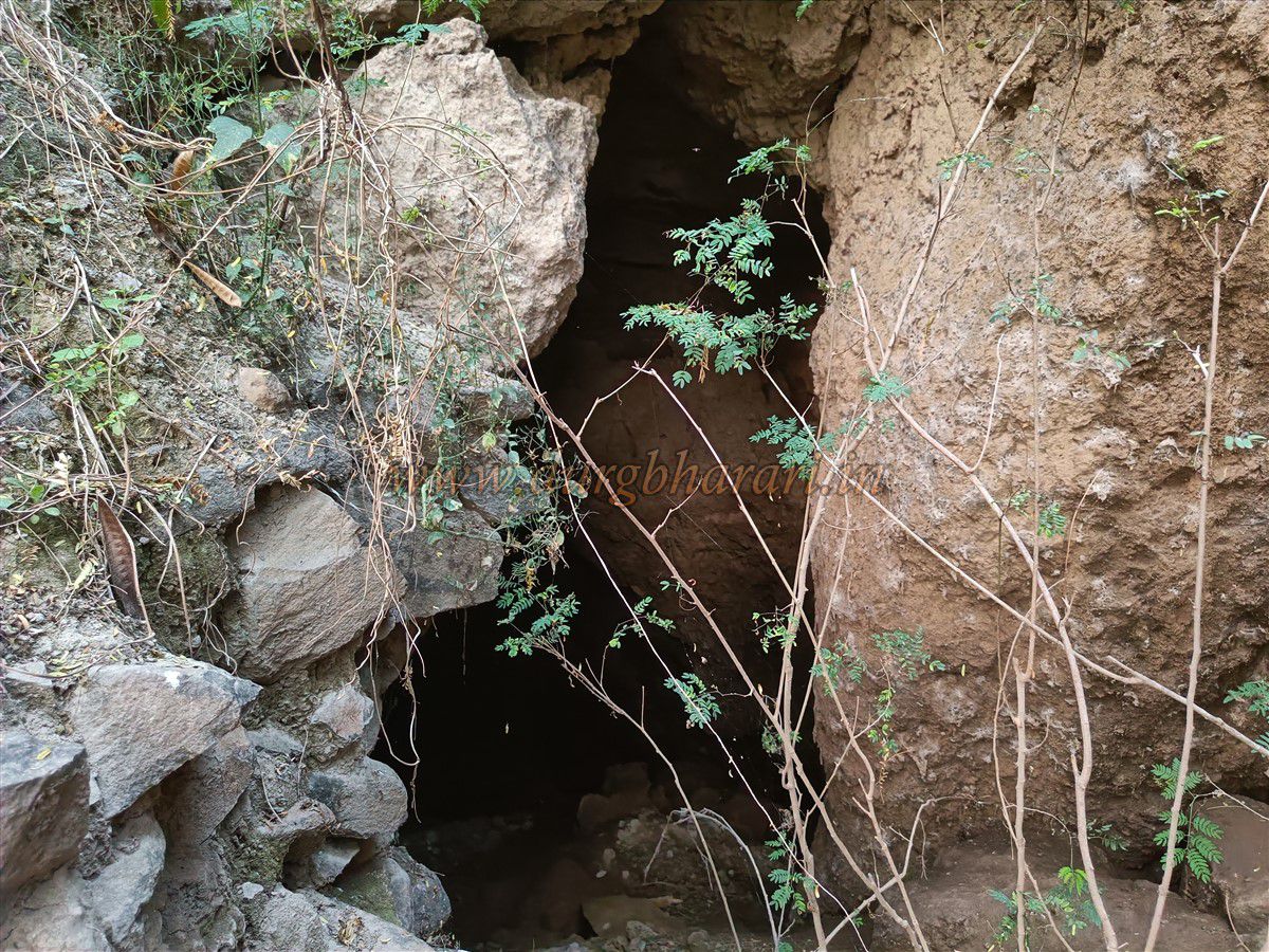
The inner remnants of the gadhi are almost entirely destroyed and overgrown with dense vegetation. In the centre, there is a square platform measuring about 30x30 feet, with steps leading up to it. To the right of this platform is a partially buried well, and next to it is a 3x3 foot water tank (haud). Inside the gadhi, there is said to be an underground tunnel (bhuyar) that leads out to the Datta temple outside the village, according to local accounts.
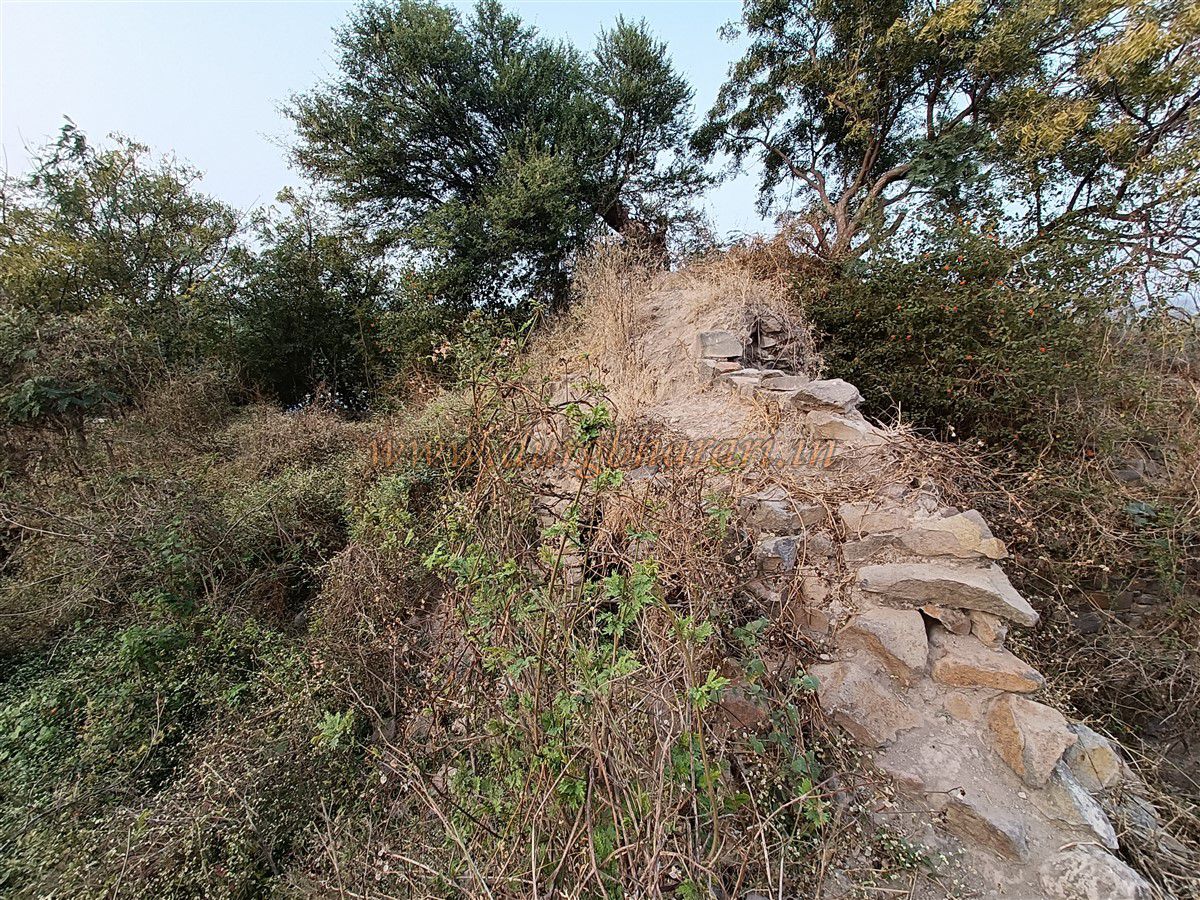
From the bastions of the gadhi, one can get a wide view of the surrounding landscape. A half-hour is sufficient to explore the gadhi and the remains of the outer walls. In the village, this structure is known as the Deshmukh family's gadhi. The Deshmukh family has homes in the village, and their ancestral patriarch was Manohar Rao Deshmukh. He held jagirs of seven villages: Mamdapur, Malegaon, Patoda, Anjanpur, Kopra, Lokhande Sawargaon, and Bori Sawargaon.
© Suresh Nimbalkar
GALLERY