BITANGAD
प्रकार : HILL FORT
DISTRICT : AHMEDNAGAR
HEIGHT : 3715 FEET
GRADE : HARD
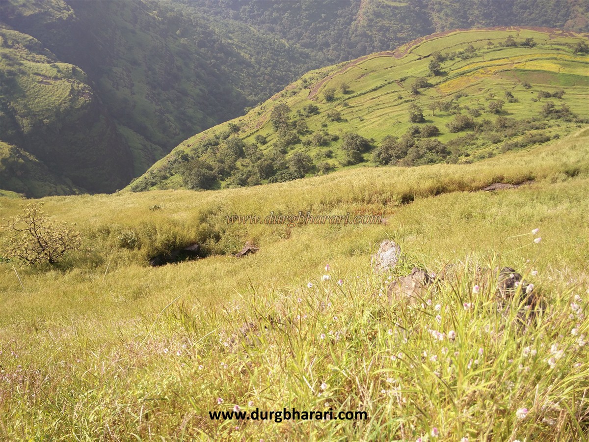
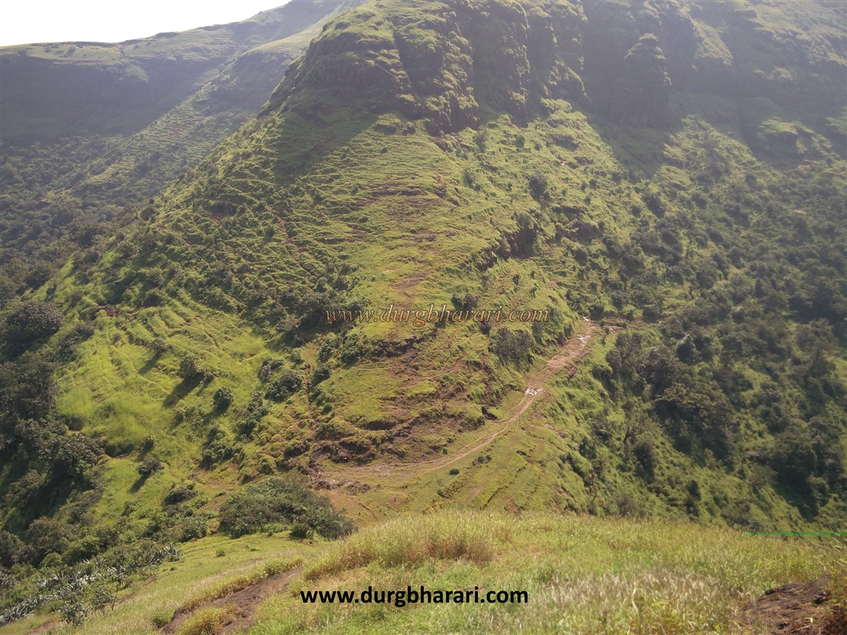
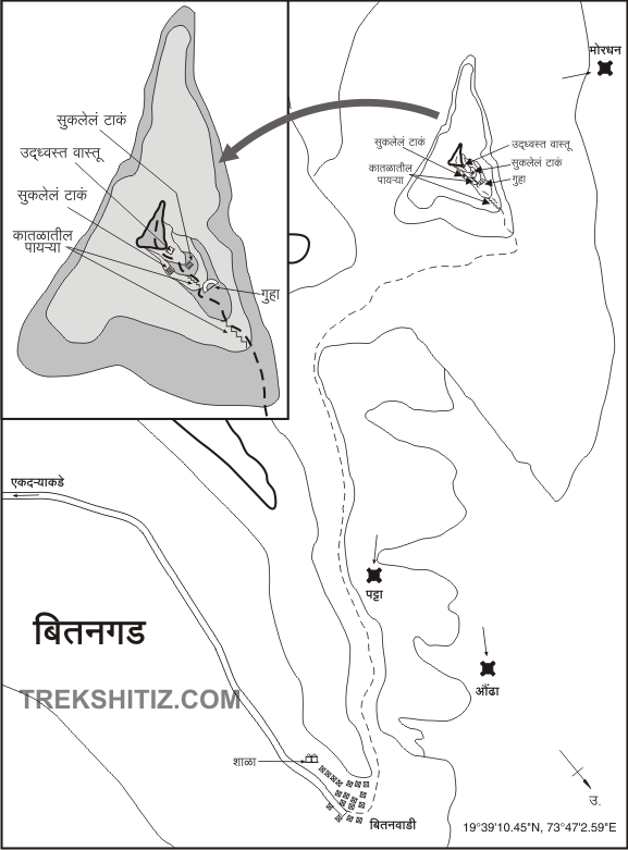
Kalsubai mountain range in Akole taluka is well known. To the east of this mountain range are the forts Aundha, Patta, Aad, and Bitangad. Bitangad fort is located in the belt between Kalsubai and Pattagad. There is a fork on Ghoti-Bhandardara road leading to Taked village. Ekadara fork is at a distance of 9 km from Taked village via Mahesmal ghat and Bitangwadi village which is at the foot of the fort, is at a distance of 5 km from Ekadara fork. This fort is not often visited by the locals. No one knows much about this fort in the village but there are signboards to show the way to the fort. There is a wide path leading from the village to the fort. At the last stage of this path, we start climbing the fort through the fields. The height of the fort is 4000 feet above sea level and about 1200 feet from the base. The shape of the fort is triangular and the total area of the fort is less than 3 acres.
...
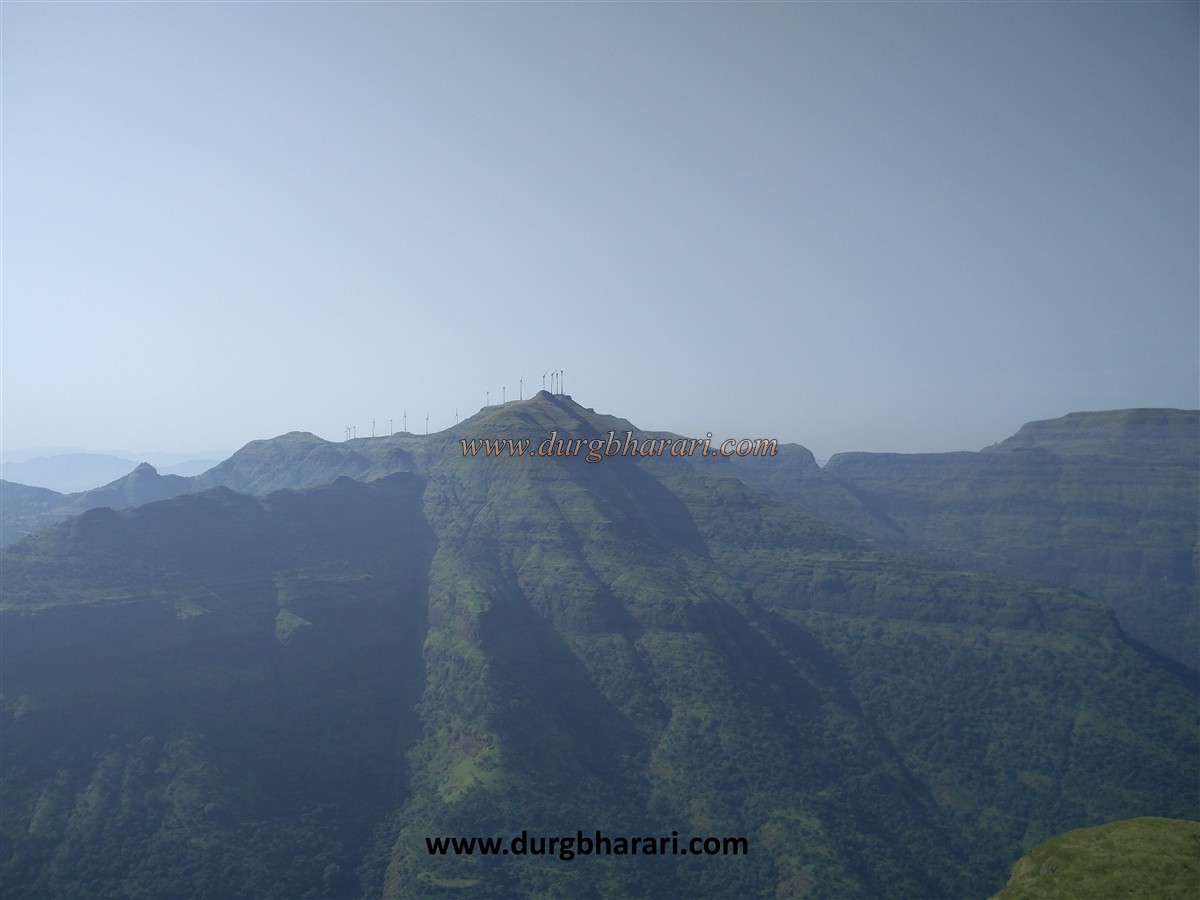
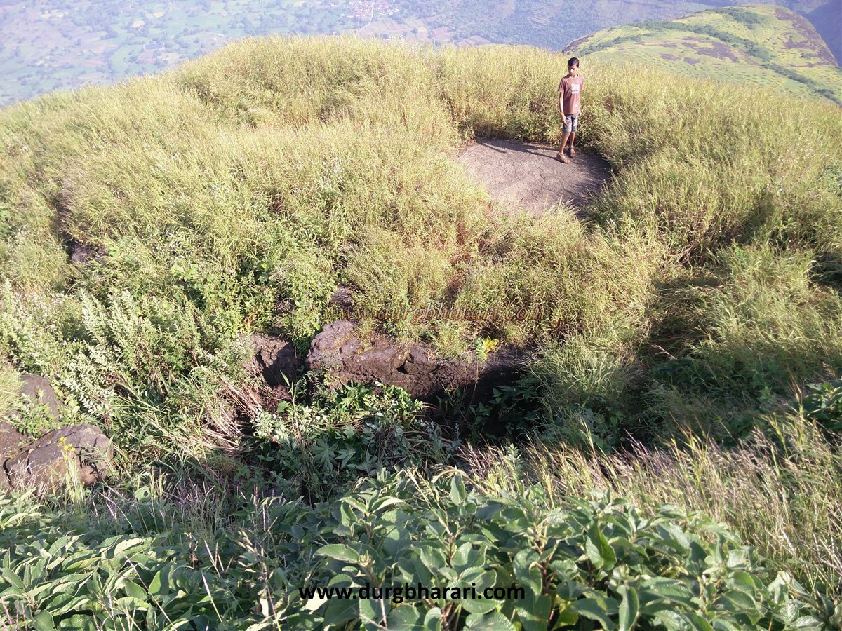
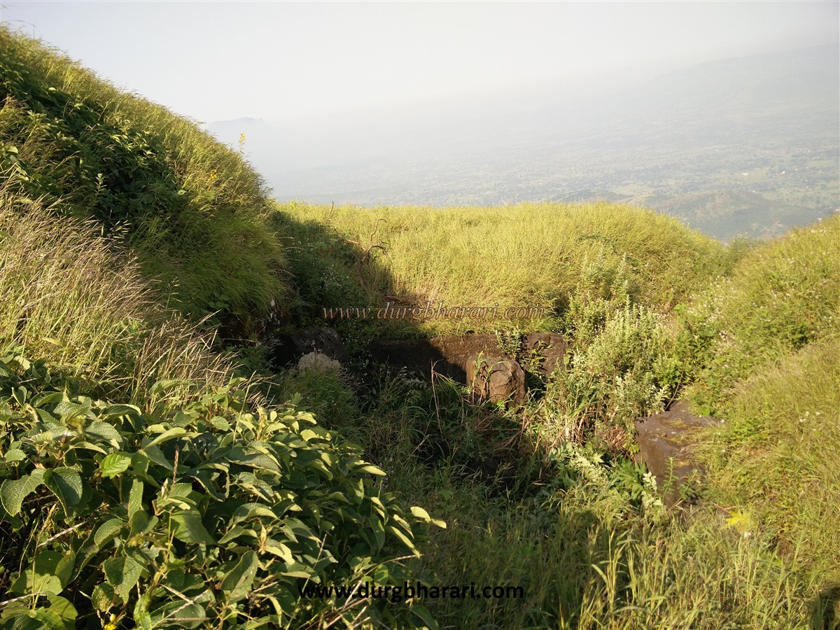
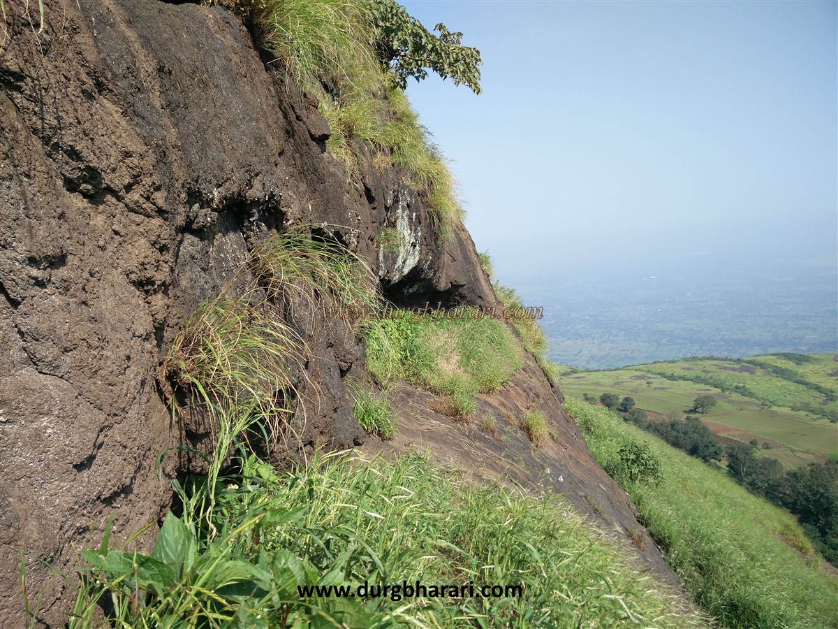
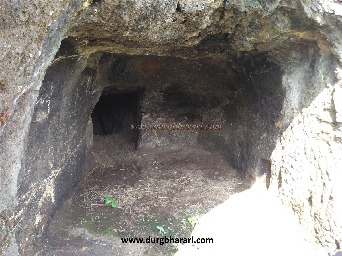
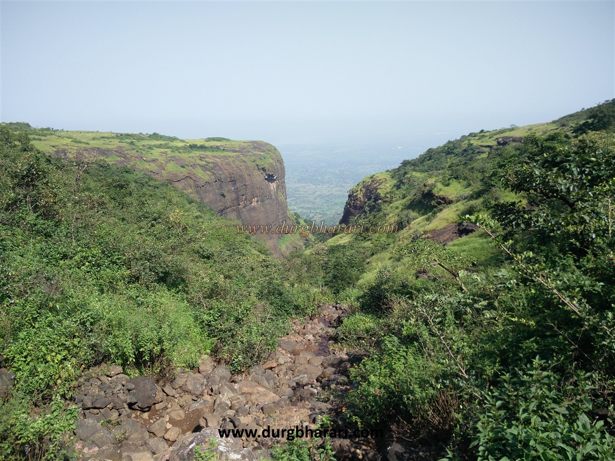
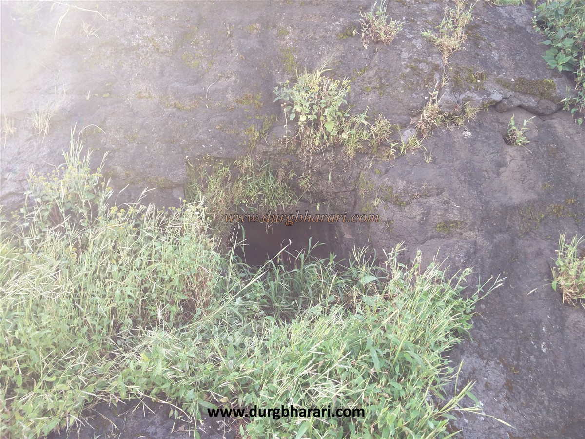
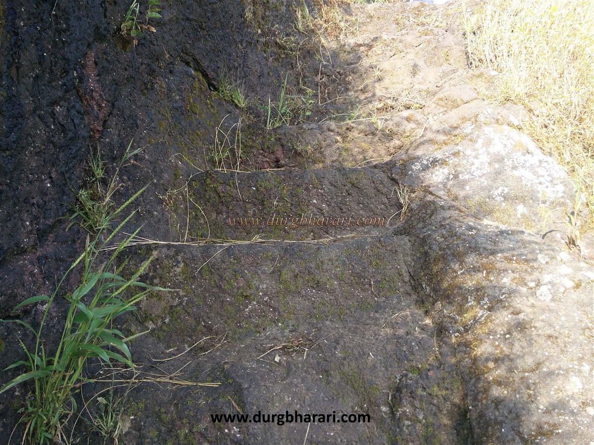
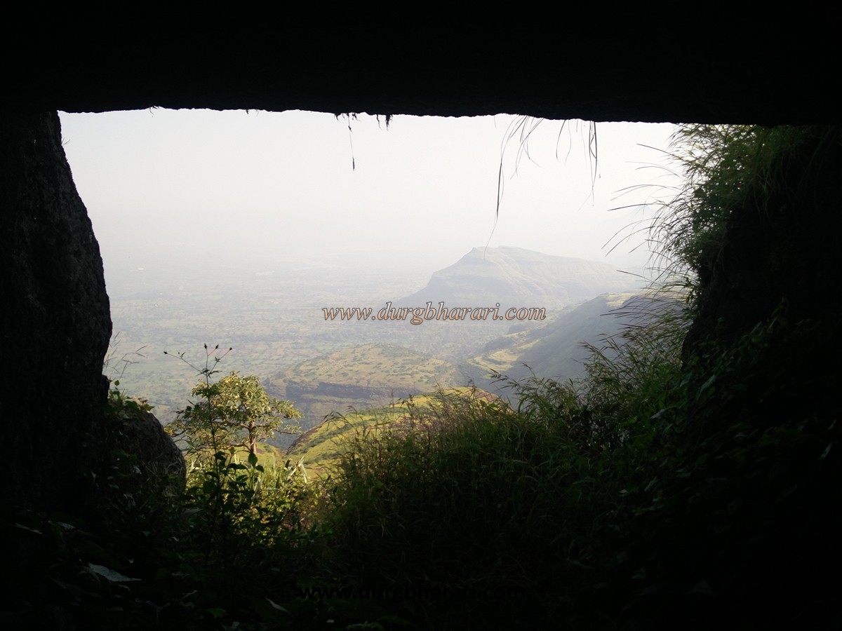
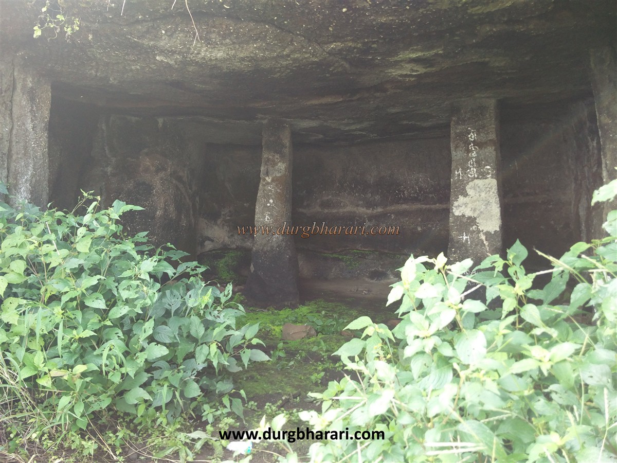
To reach the top of the fort, one has to climb more than 100 steps carved in the rock. There is a tunnel on the right-hand side near the beginning of these steps. You have to crawl in this tunnel. You must carry a flashlight when entering this tunnel. There is a water cistern at the end of this partially excavated tunnel. One such tunnel is outside the fort at the opposite end of the fort. The mouth of this tunnel is big but even here, you have to crawl inside. Inside this tunnel is a 20x20x15 size room. At the bottom of this room is the face of another tunnel. Apart from the two tunnels on the fort, there are two pillars of the Satavahan period, a large cave and six water cisterns, but none of them have potable water. Two of these tanks are inaccessible and can only be seen from the top. The road leading to these tank has been destroyed by a mine. The villagers have made temporary water arrangements by blocking rainy water flow for drinking water but it's available only till January. The two-pillar cave on the fort can easily accommodate 8-10 people but this cave is not in use and there is no water facility on the fort after January. On the way to the top of the fort, you can see the remains of some ruined structures. The fort has destroyed on a large scale and in one place broken rampart can be seen. The head of the fort is small. This fort must have been used only for surveillance. It takes one and a half hours to reach the top of the fort from Bitangwadi. From the top of the fort, you can see the forts in the Kalsubai range such as Alang, Madan, Kulang, Aundha, Patta, Aad, Mhasobacha Dongar, and Kalsubai hill. While descending the fort, one can go straight towards the gorge at the end of the fort and see the tunnel as well as the tiger carvings on the wood in the gorge. It is not difficult to climb the fort but the steps dug in the rock are slippery due to moss in the rainy season and a large amount of grass grows on the fort. The Hanuman Temple in Bitangwadi can accommodate up to 30 people. Meals are available if requested in the village. No history is available about this fort except one letter in December 1682. This fort is mentioned in a letter written by Rahulla Khan to Aurangzeb in December 1682, he says that the settlement of Bitangad was set on fire in enemy territory it means the fort must have been under the control of the Marathas around 1682.
© Suresh Nimbalkar
GALLERY