BISHTA
TYPE : HILL FORT
DISTRICT : NASHIK
HEIGHT : 3315 FEET
GRADE : HARD
Nestled within the Dungdeshwar range in Baglan taluka, which includes ranges like Selbari, Dolbari, Hindalbari, Galna, Chanakpur, and Dungdeshwar, several small hill forts remained unknown due to being detached from mainstream Maratha history. One such fort is Bista, also known as Bijotya. Locally called Gavalni Cha Killa, this fort was brought to light in 1985 by historian Shri Girish Takle through the Vainateya Giryarohan – Giribhraman Sanstha.
Most references claimed that the base village for this fort was Kotbel and that the trek to the top took around five hours. Another route from Bijote was mentioned as difficult and slippery, and many advised against using it. This belief likely stemmed from the fact that early treks to the fort began from Kotbel, and so the alternate route remained unexplored. In reality, Bijote is the true base village, and it is from this village that the fort gets the name Bijotya.
...
The trek from Bijote to the fort and back takes only about two and a half hours. The route is simple and similar to those found on other forts around Nashik, with soft, rock-laden trails.
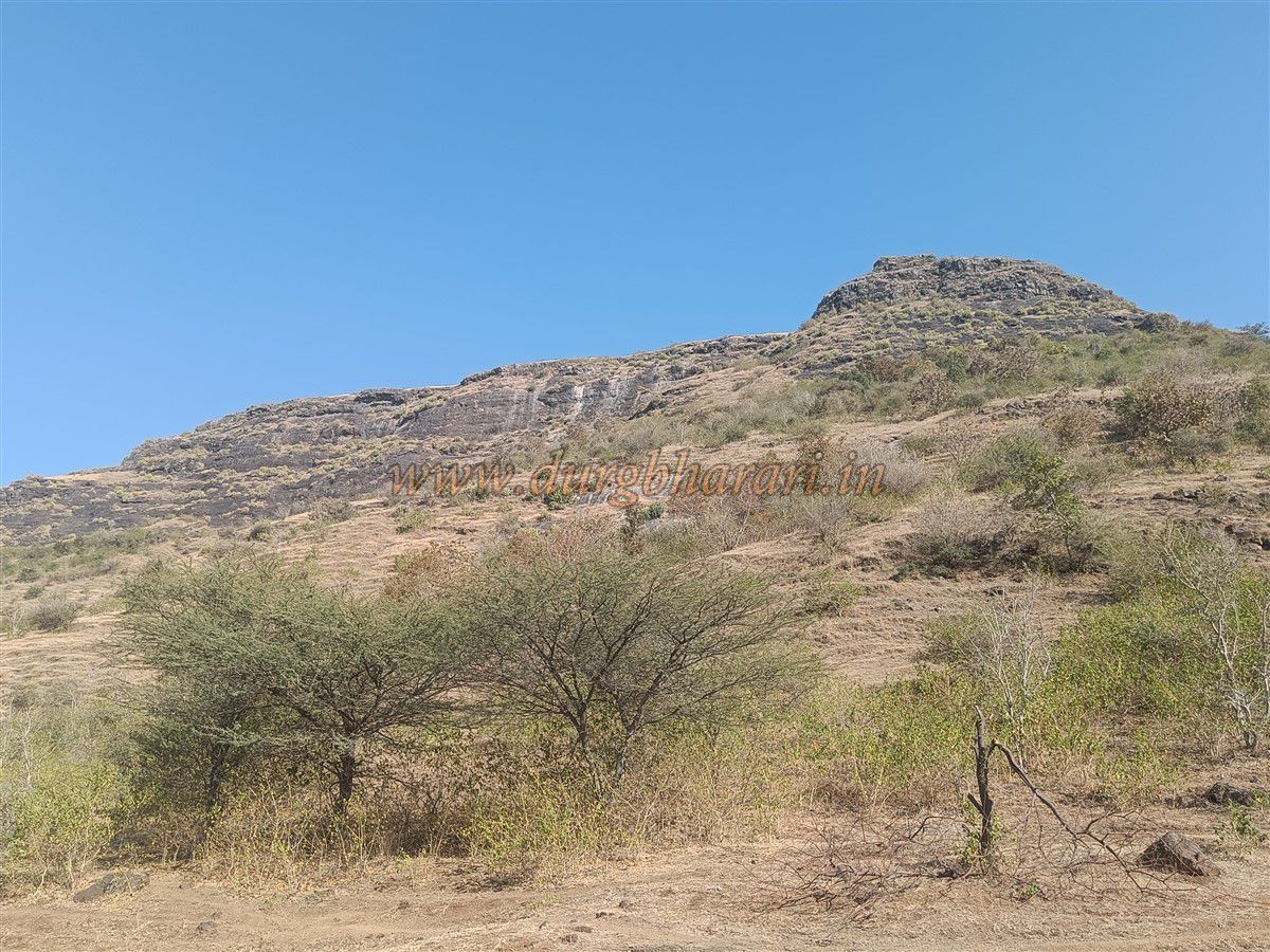
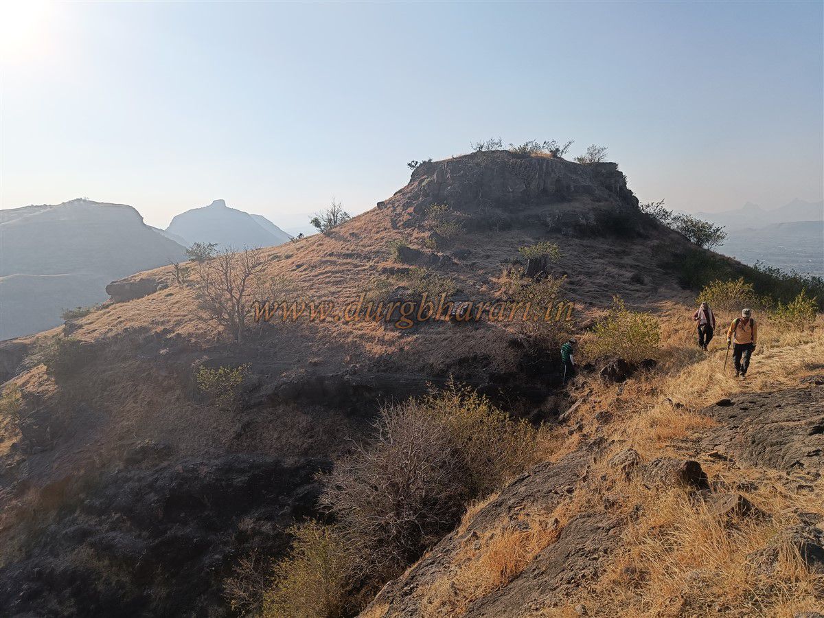
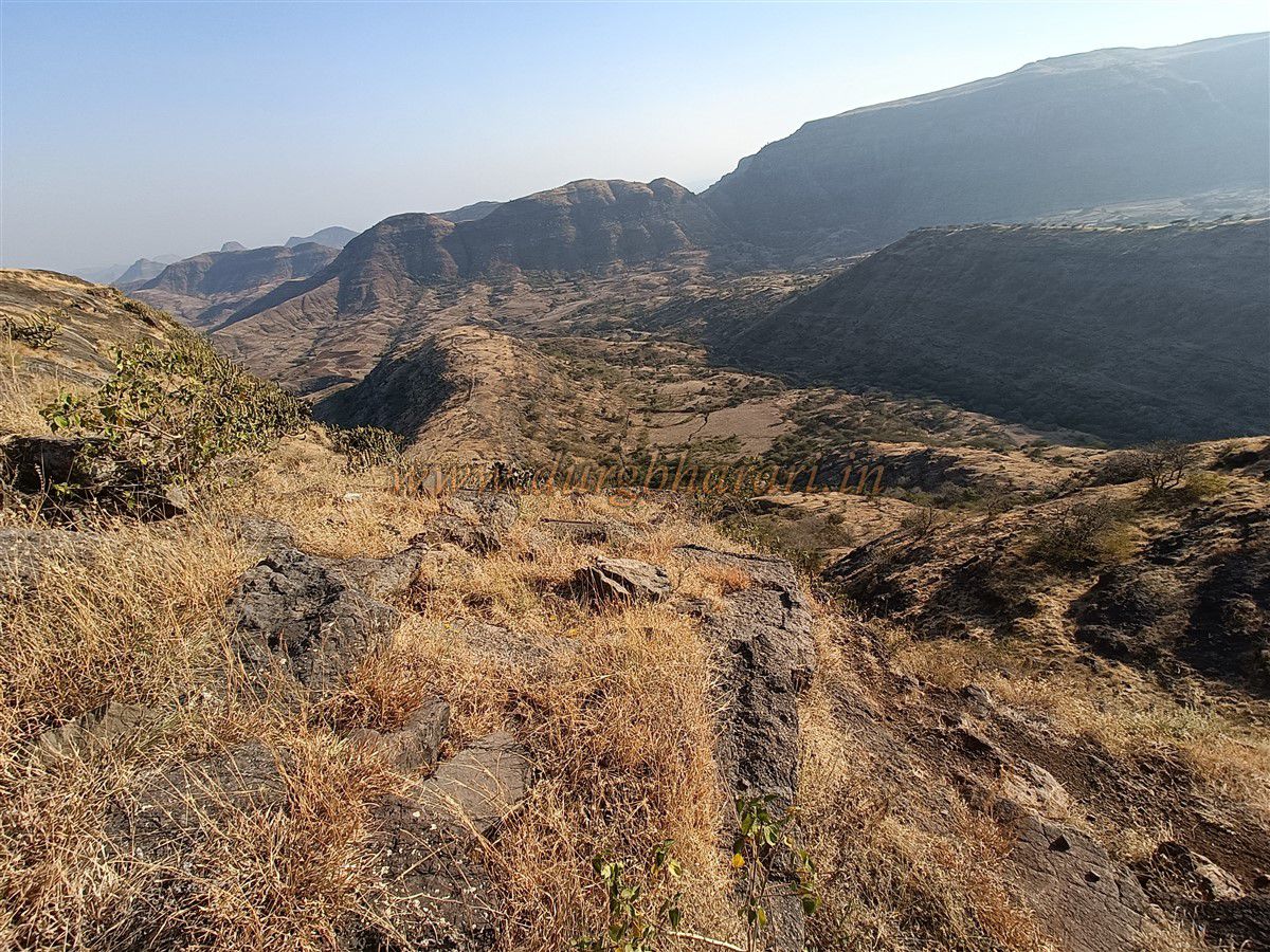
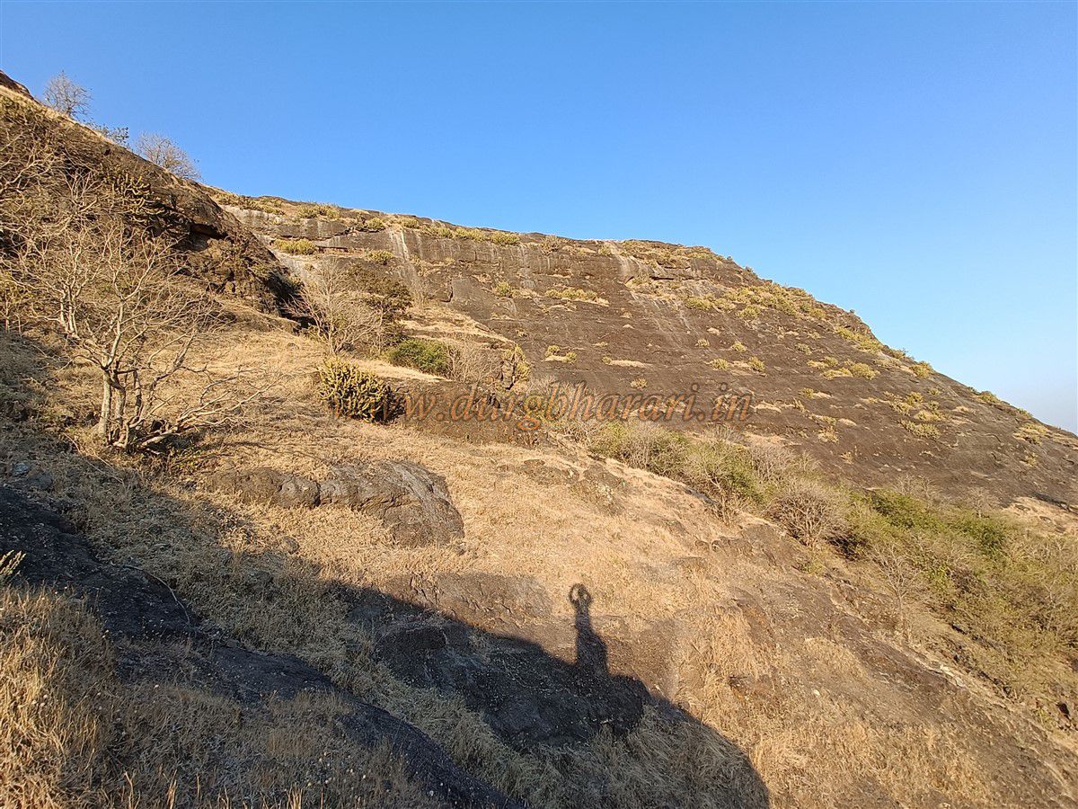
Kotbel lies about 4 km from the fort, and the trek from there is exhausting, taking around five hours. Bijote village is located 117 km from Nashik and 27 km from the taluka headquarters at Satana. A spur from the fort descends into Bijote, and the trail to the fort starts from Pawar Vasti at the base of this spur. An unpaved road leads from the village to this hamlet. Near the beginning of the trail, there is a house and a temple belonging to a Nath sect Baba. The trail starts behind the house and climbs the hill, with the fort on the left and a gorge to the right. After about half an hour, one reaches a saddle between the fort and an adjacent hill. From there, an uphill slanting trail leads to a plateau beneath the fort. Since this route is not frequently used, the path is slightly rocky but manageable.
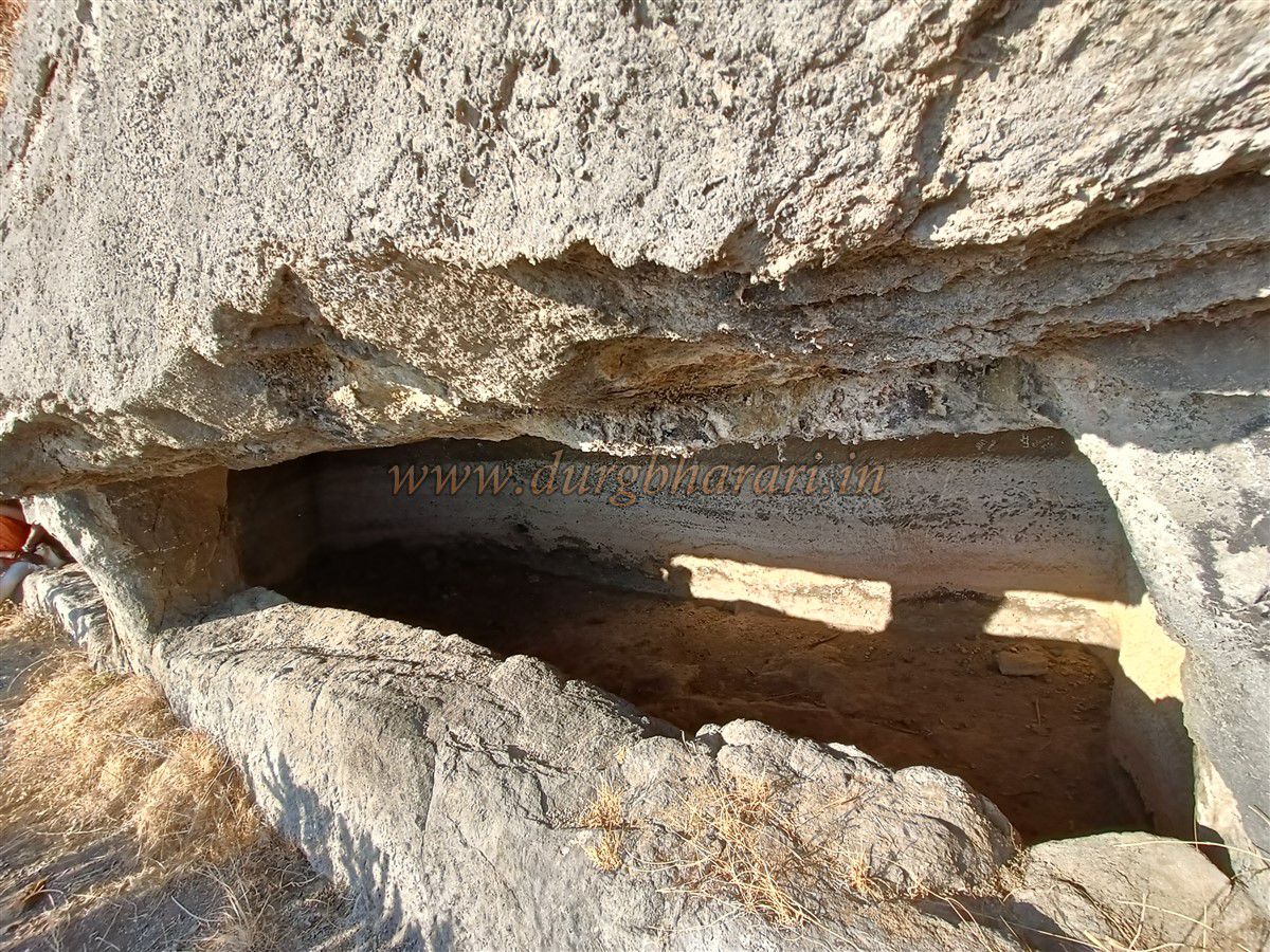
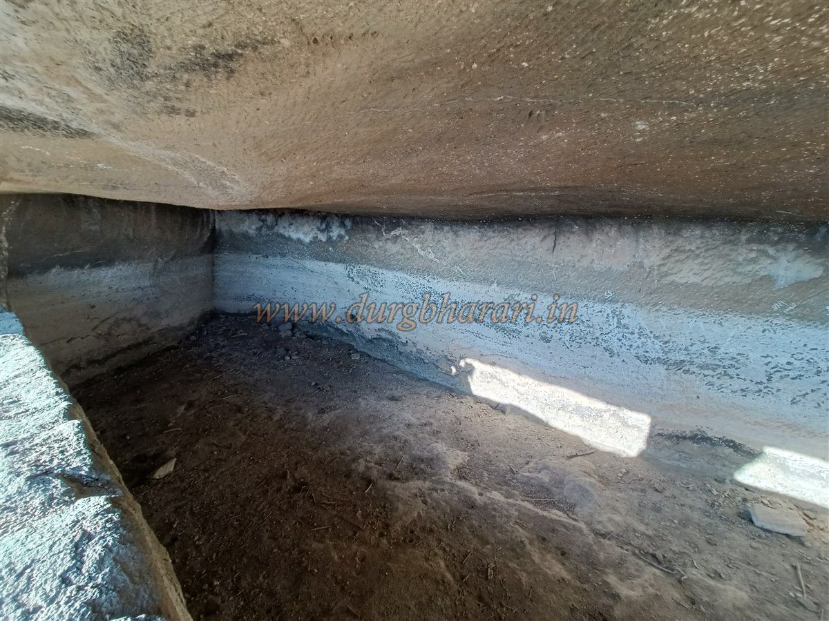
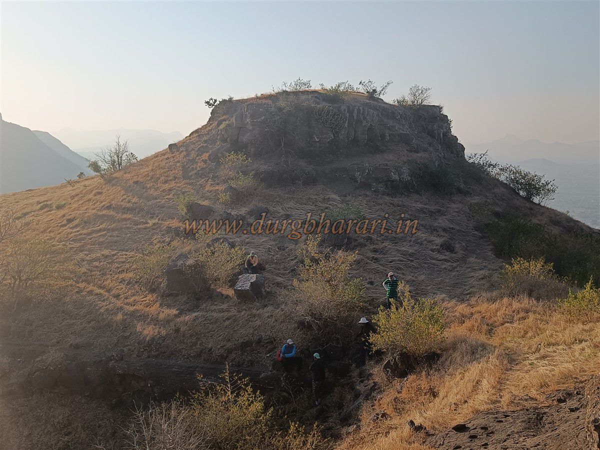
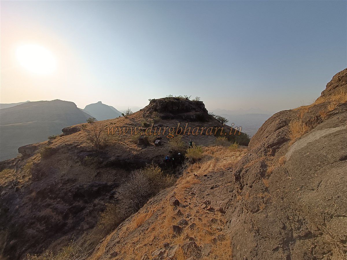
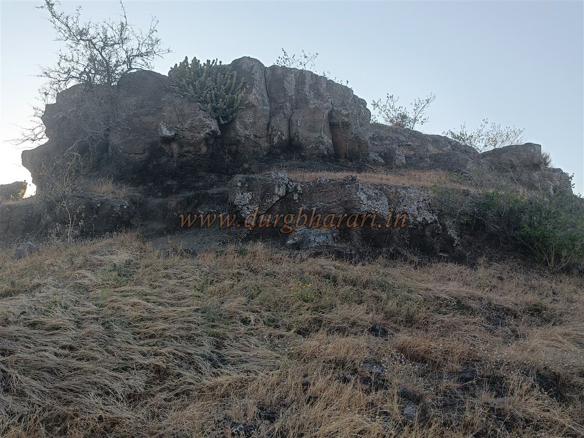
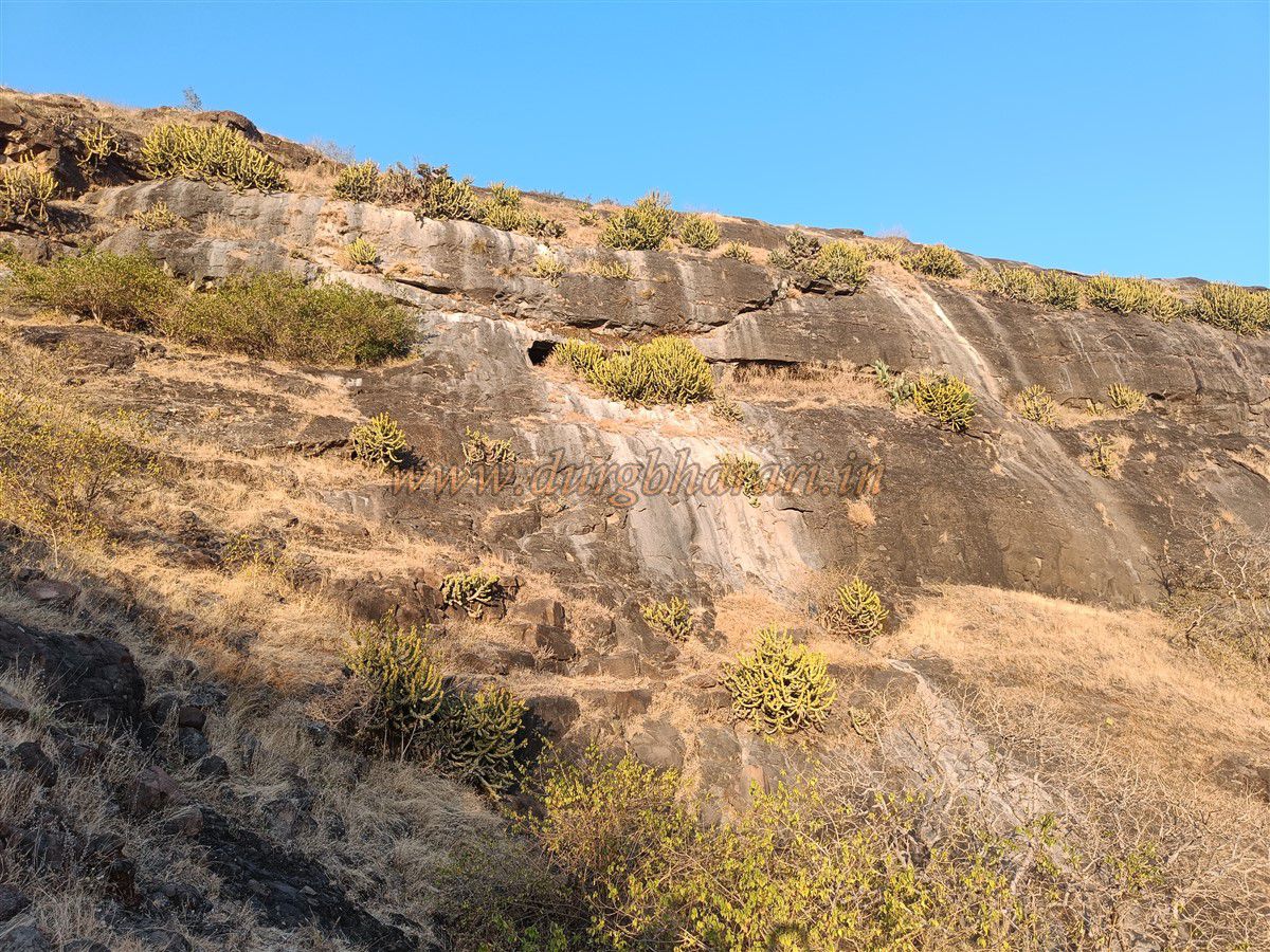
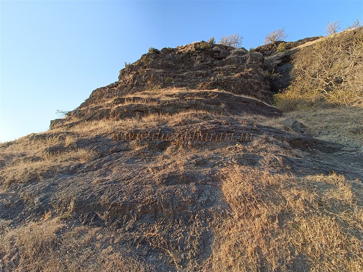
Fifteen minutes up this slope brings you to a depression between Bista Fort and the neighbouring hill. This same depression is where the trail from Kotbel also ends. The thorny babul shrubs mentioned in other writings are not found here, perhaps grazed down by goats. On the right side of the depression, at the base of the fort, are some rock-cut caves. The ascent begins from the left side of the depression. The mouth of the gorge narrows, and within 10 minutes one reaches the caves. The steps to these caves are broken, making access a bit difficult, but regular trekkers can manage using basic climbing techniques. Two large water cisterns and a smaller cave, whose entrance is covered by vegetation, can be found here. The front of the cave has stone pillars that create the illusion of multiple separate caves when viewed from below. These caves likely served as lookout posts to monitor anyone approaching the fort. Locals refer to them as the homes of Gavalni.
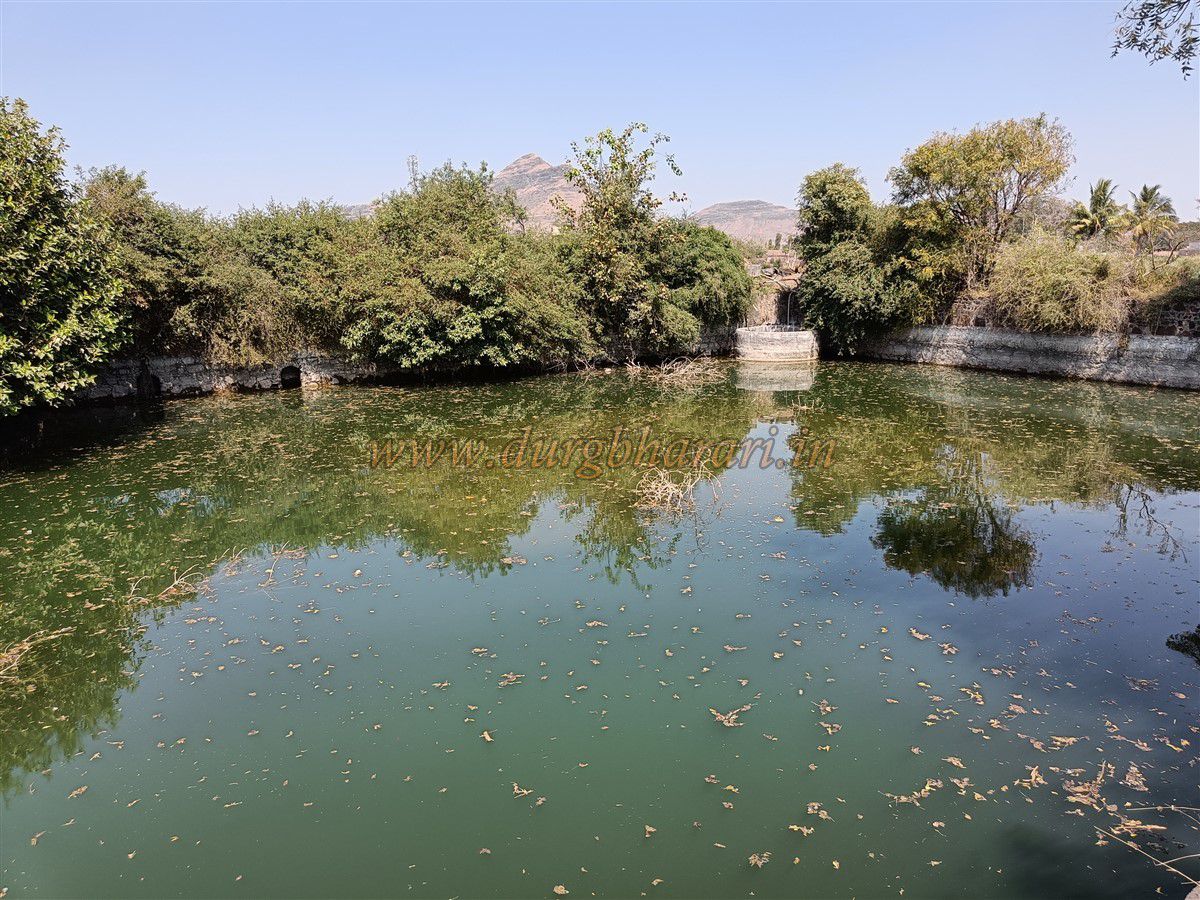
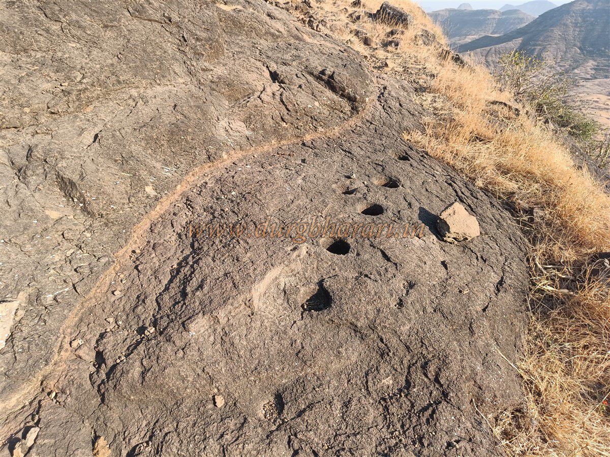
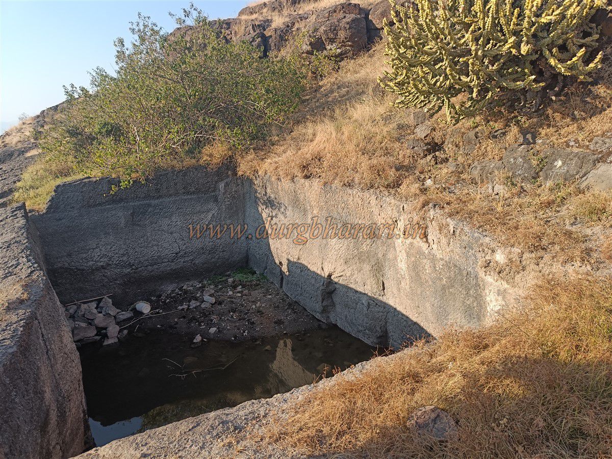
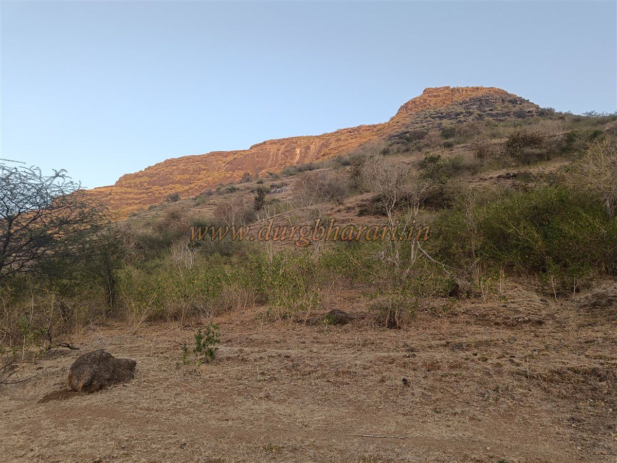
After viewing the caves, returning to the trail and climbing further for about five minutes leads to the central pass between the fort and a high mound nearby. Remains of a platform built from dressed stone suggest the presence of a gate or bastion. On the left mound, only a flag base remains. Climbing the adjacent hill on the right grants access to the main fort area. Here, one sees a line of pits on the edge of the cliff, possibly used for quarrying. Moving ahead, one reaches the foundation of a fortification wall and then a large water tank carved into the rock. This tank holds water until March but requires a rope or pulley to fetch it.
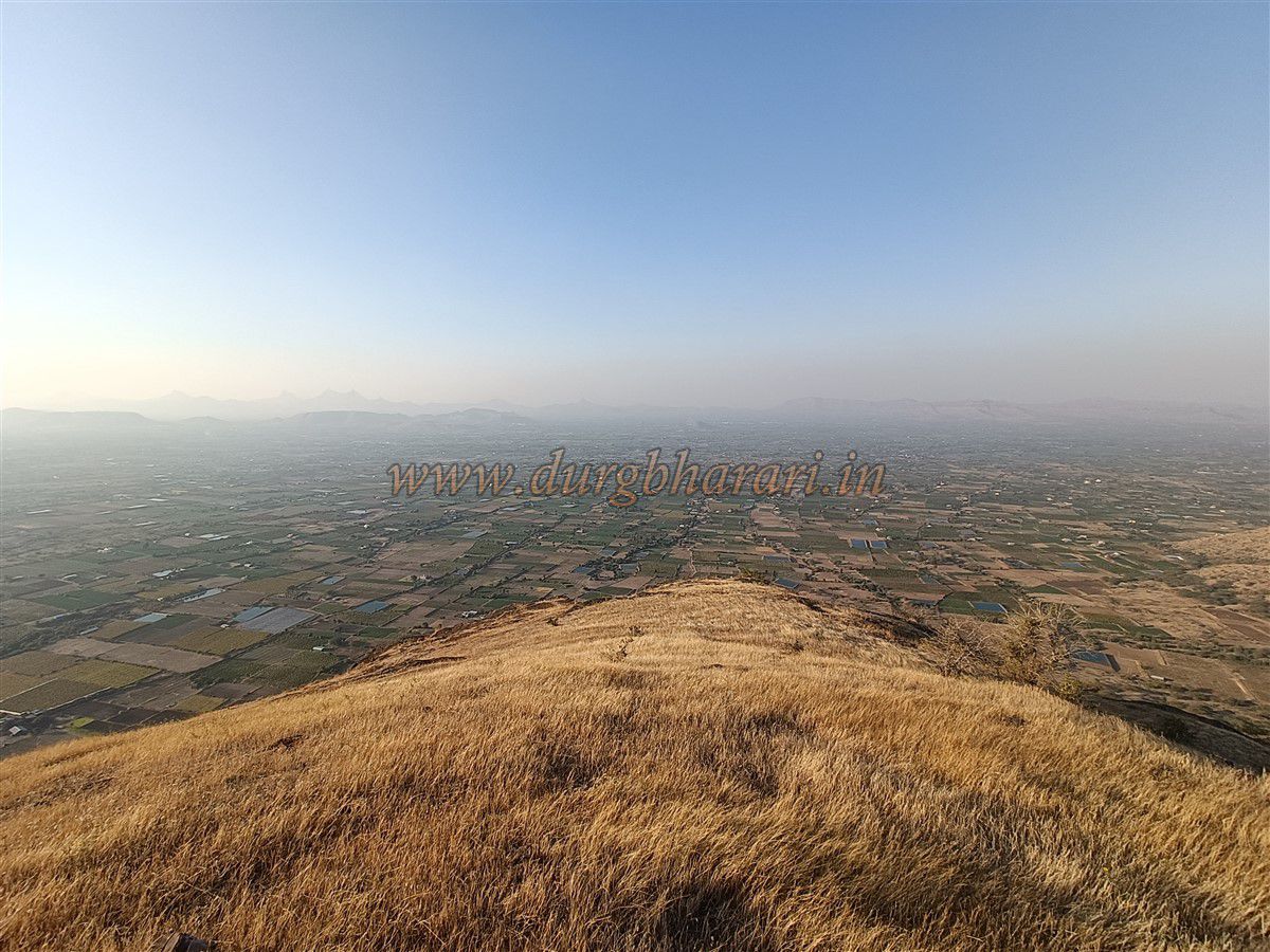
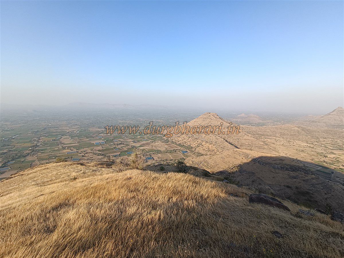
Beyond the tank is the main plateau of the fort, standing at 3,315 feet above sea level. The flat top is grassy and contains the remains of six small to medium-sized dwellings. Locals say these homes belonged to Gavalni herdsmen who lived here as recently as the 1980s. Of the six homes, three families migrated to Bijote, two to Kotbel, and one elsewhere.
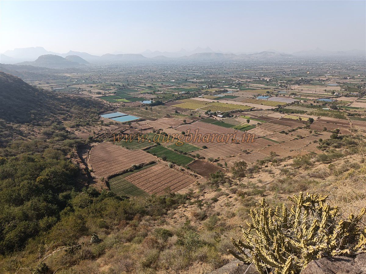
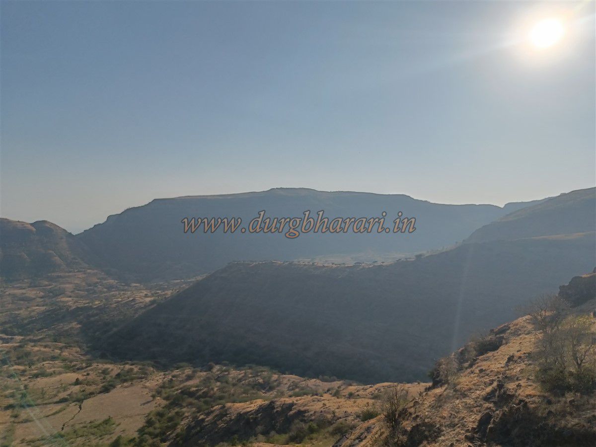
From the fort summit, one can view other forts and ranges like Fopira Dongar, Karha, Ajmera, Salher, Salota, Mulher, Mora, Hargad, Dermal, and Pisol. A half-hour is sufficient to explore the top.
In the year 1308 CE, the Bagul dynasty from Kanauj gained control over the Baglan region. Between 1300 and 1700, 54 Bagul rulers governed the region, giving it the name Baglan. Later, the area came under Mughal control. Although Shivaji Maharaj captured major forts like Salher and Mulher, smaller outpost forts like Bista did not feature in the list of captured forts.
© Suresh Nimbalkar
GALLERY