BHUPATGAD
TYPE : HILL FORT
DISTRICT : PALGHAR
HEIGHT : 1558 FEET
GRADE : EASY
Due to Mumbai, the Konkan province is divided into North Konkan and South Konkan. Vasai to Daman belt is known as North Konkan and the Alibag to Karwar belt is known as South Konkan. Even though South Konkan is so rich in natural beauty and very close to Mumbai, this area has not developed much for tourism. Bhupatgad fort is surrounded by dense forest in Javhar taluka of Thane (now Palghar) district in North Konkan. This is a trek that can be easily done in one day by own vehicle from Mumbai and in this tribal area, the S.T bus service is irregular so using private vehicles is much more convenient. The foothill of Bhupatgad is at a distance of about 140 km from Mumbai. There is an unpaved road from Chinchwadi village to the fort, so you can reach the base of the fort by private vehicle.
...
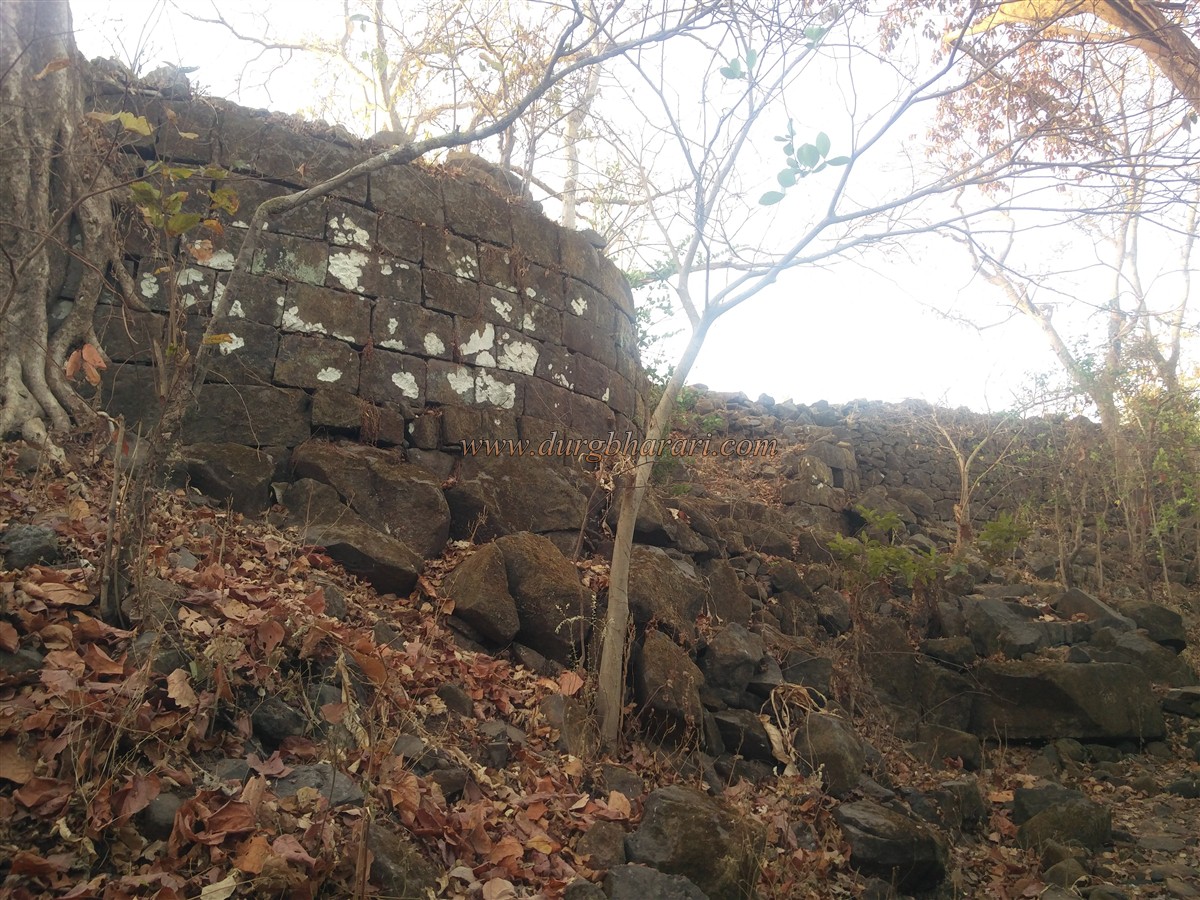
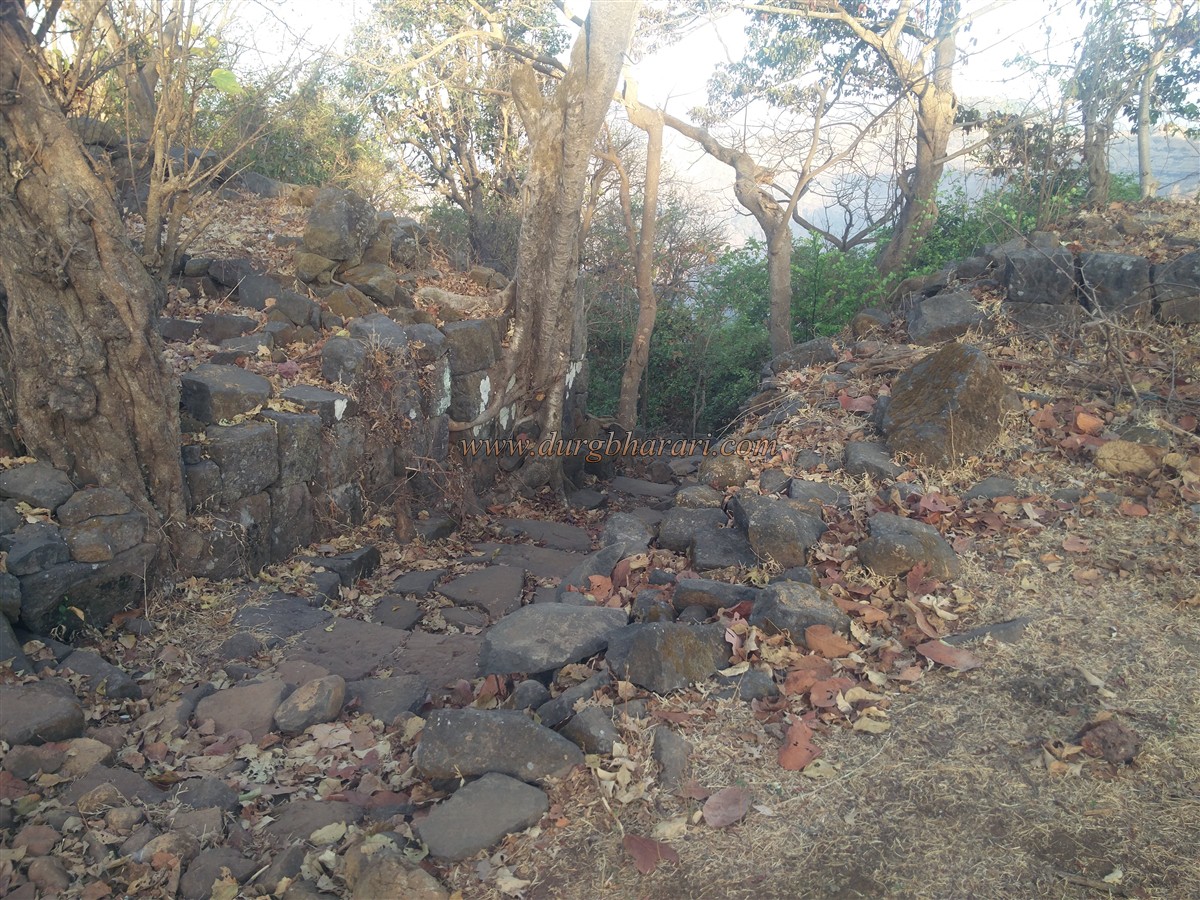
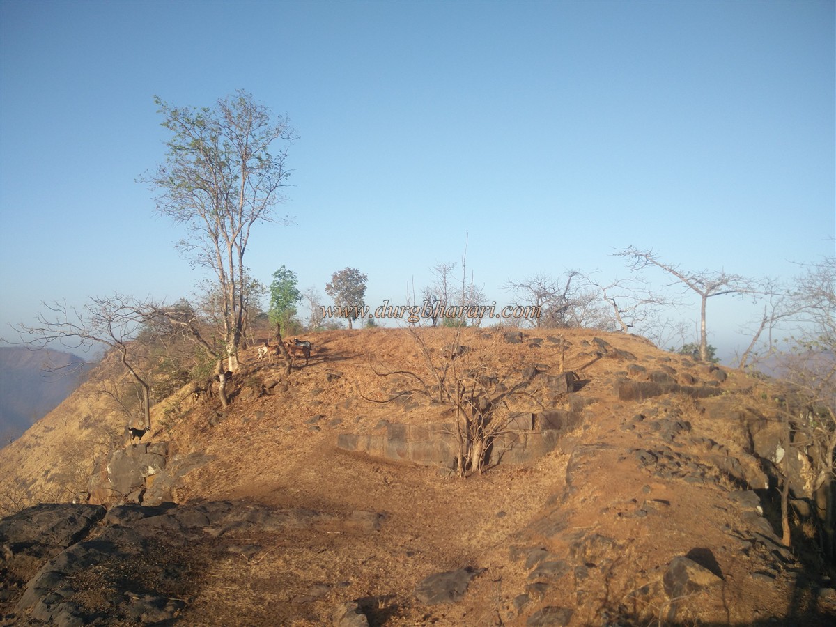
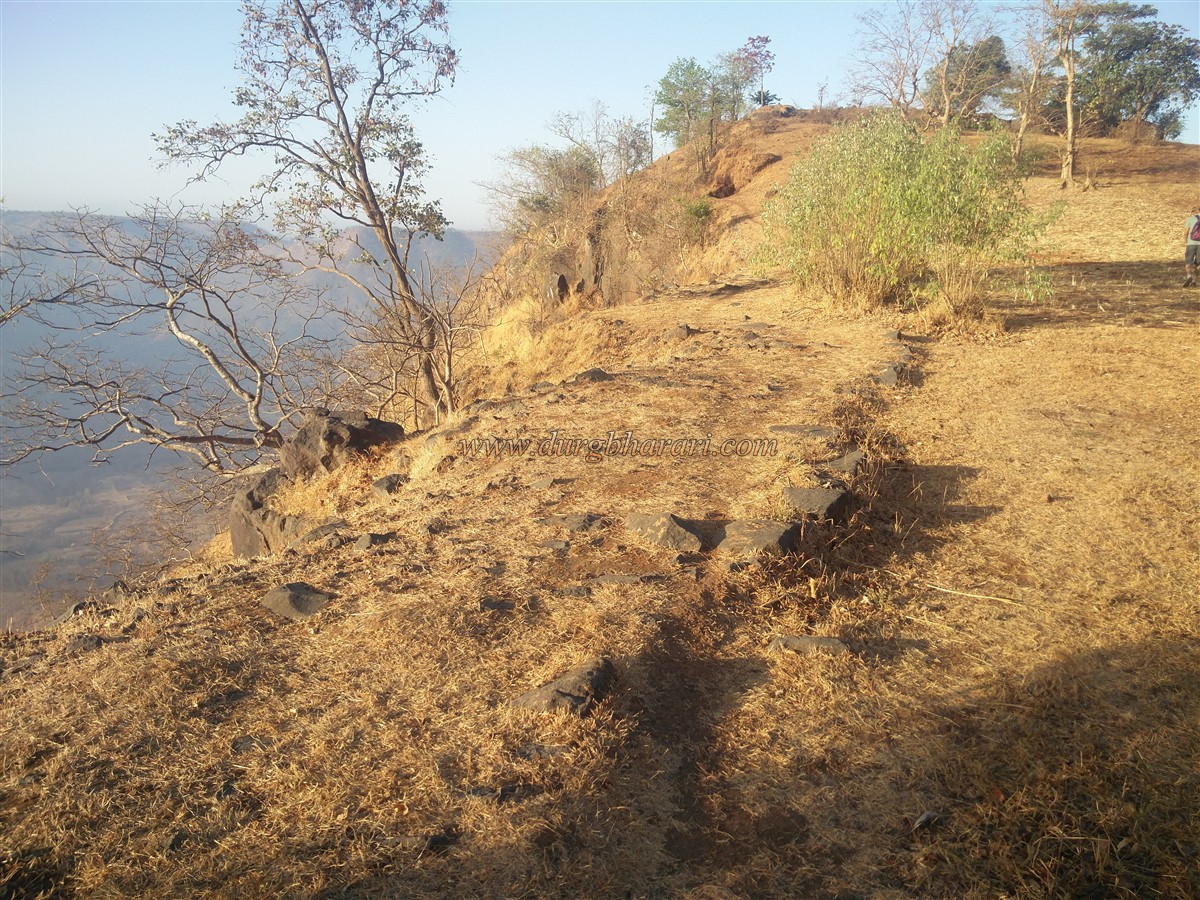
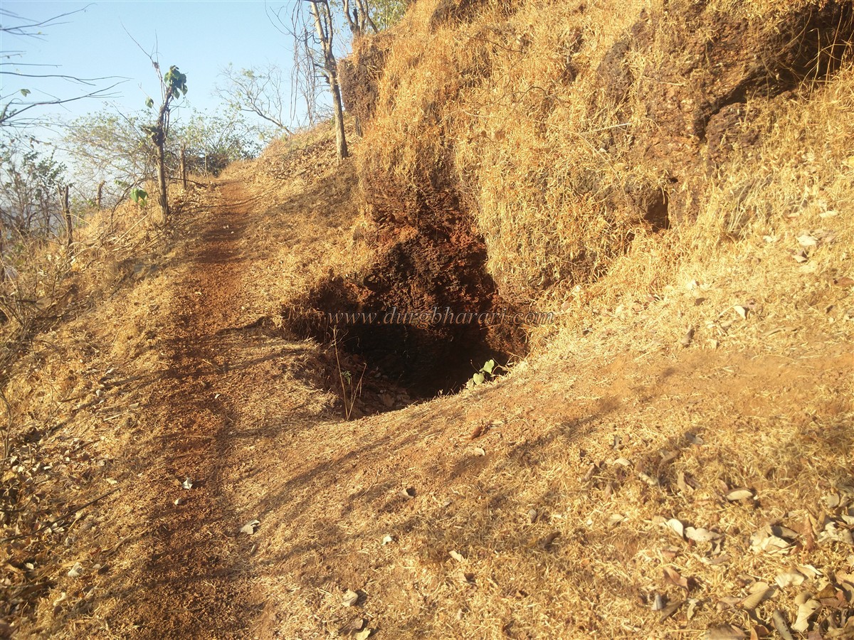
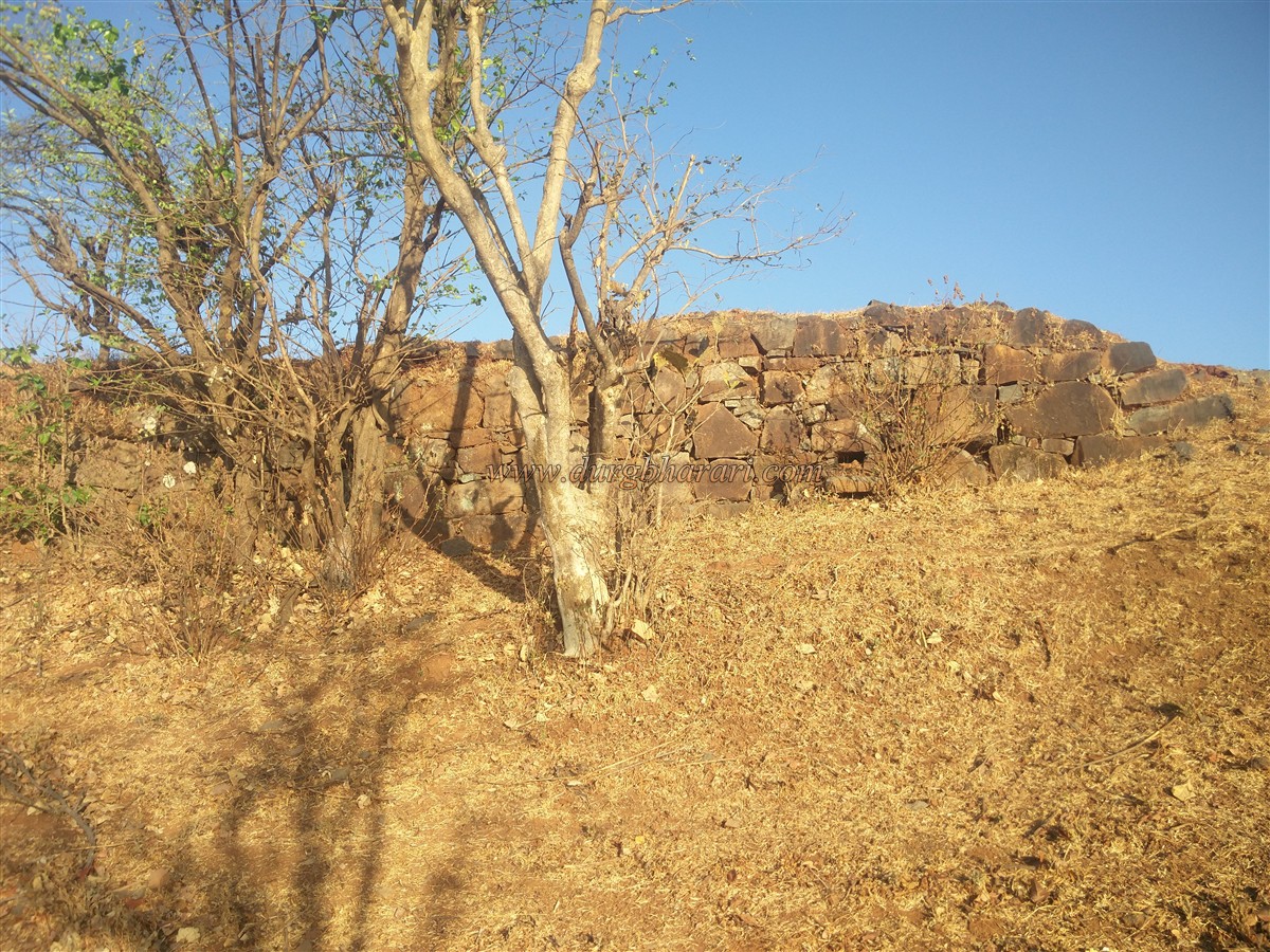
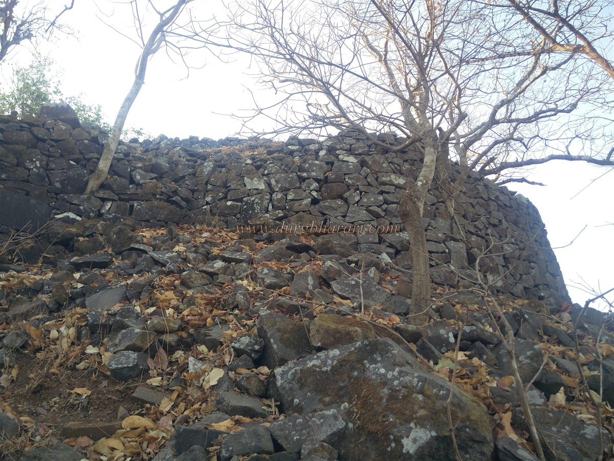
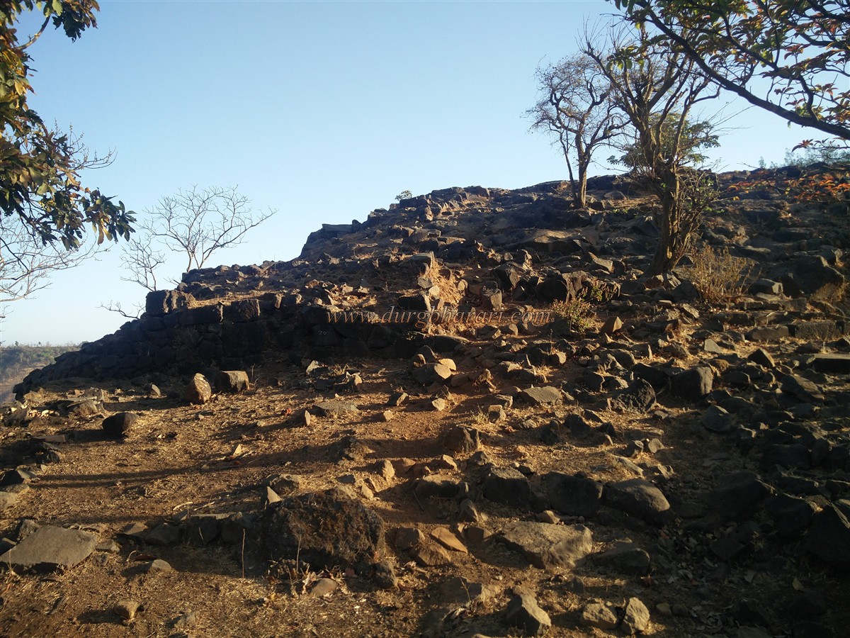
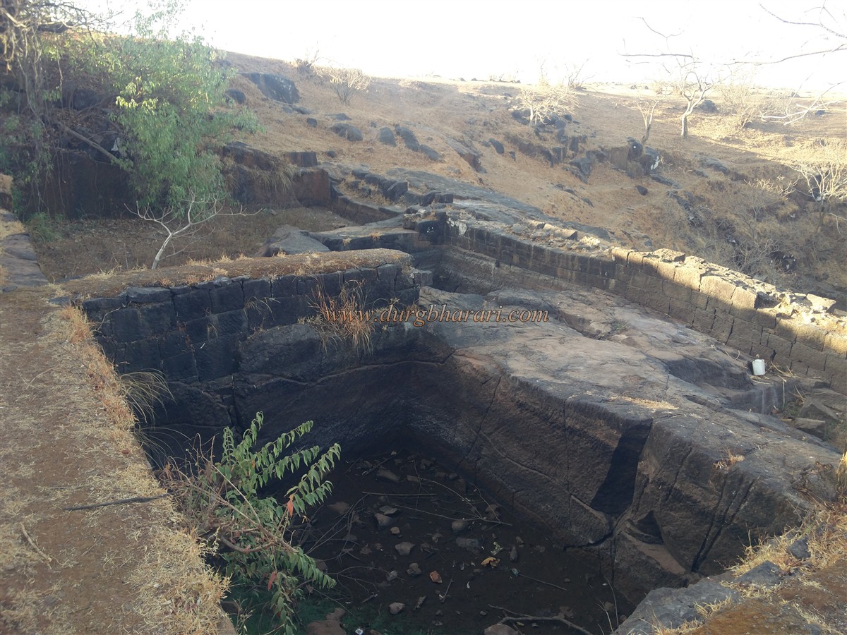
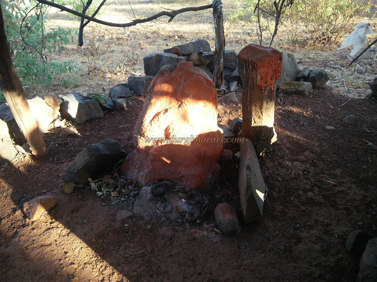
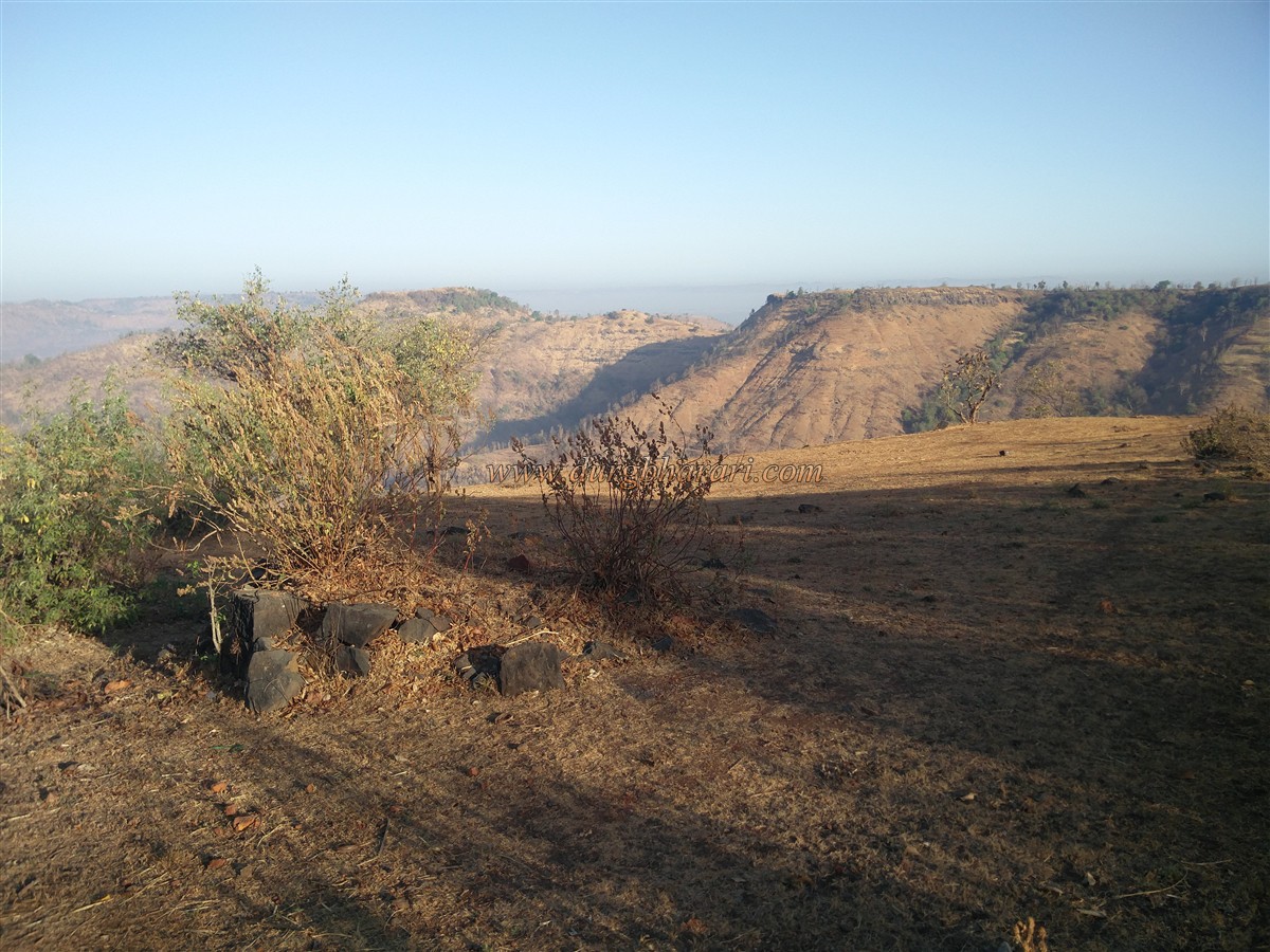
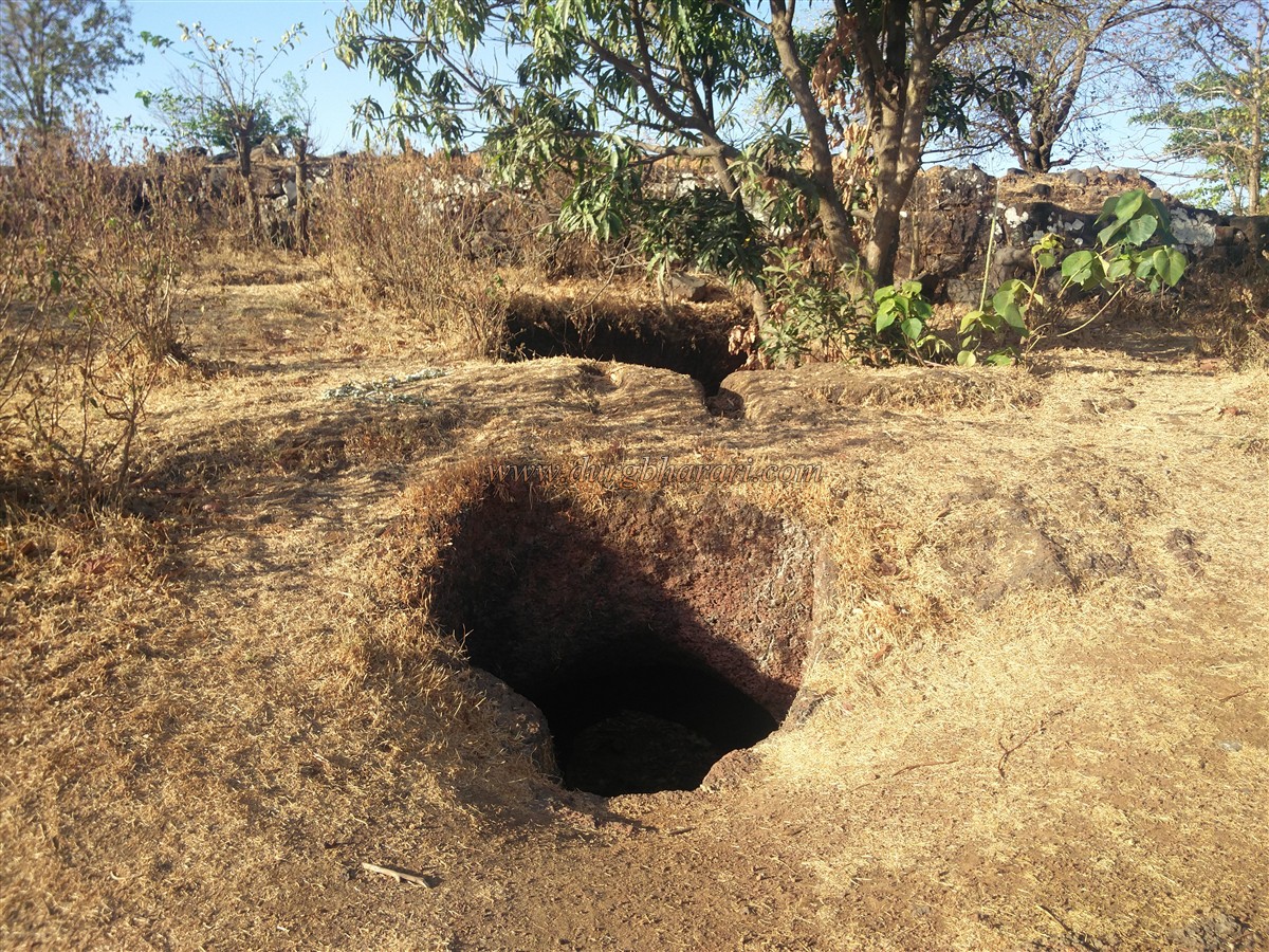
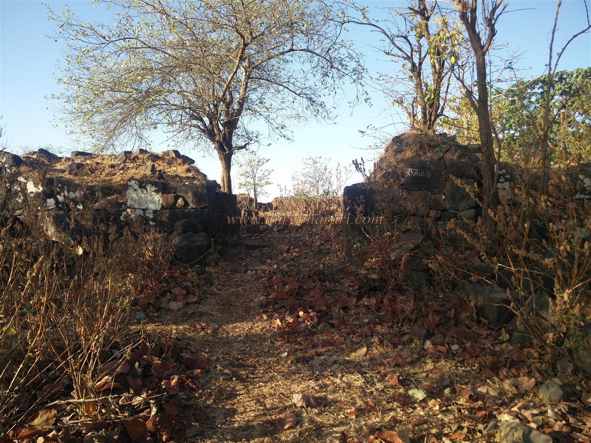
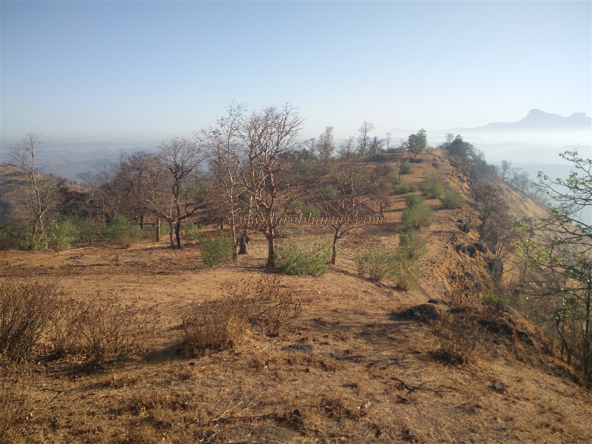
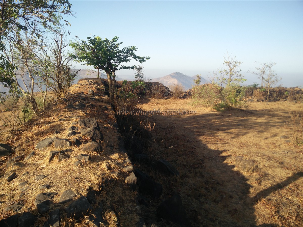
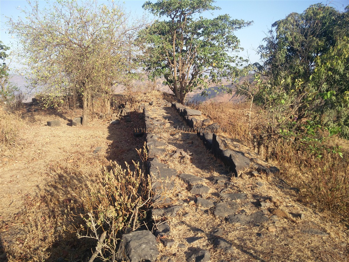
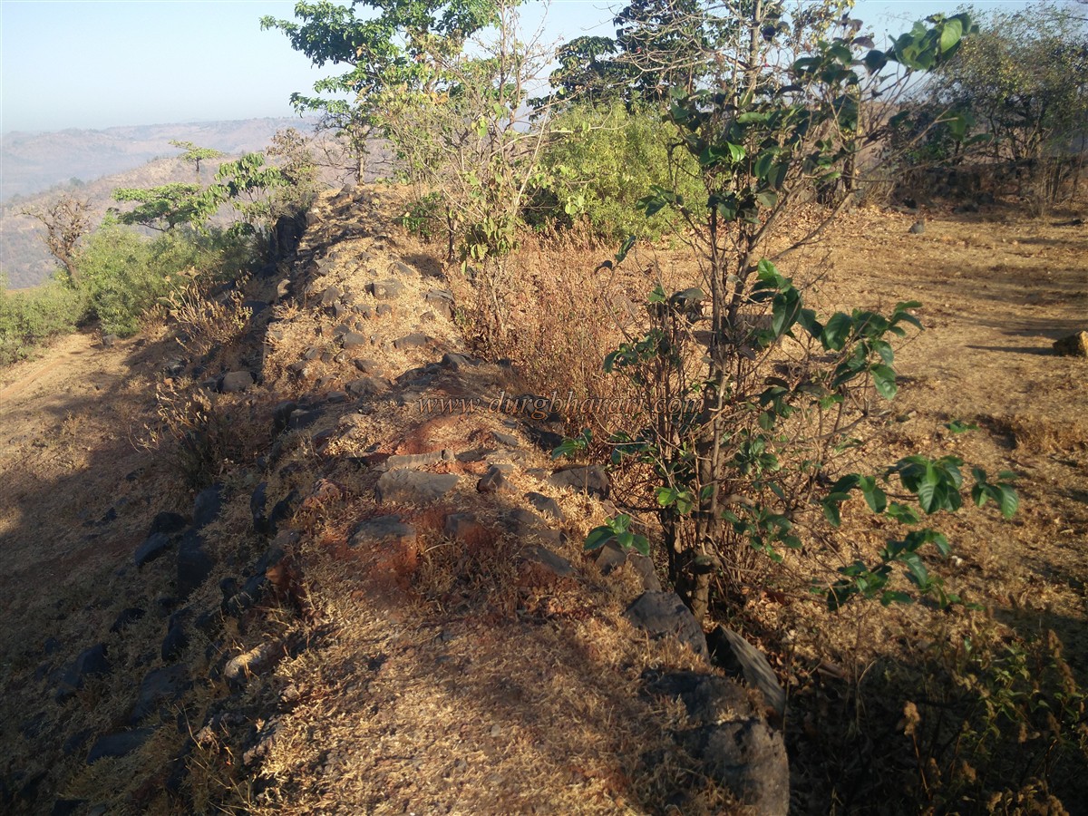
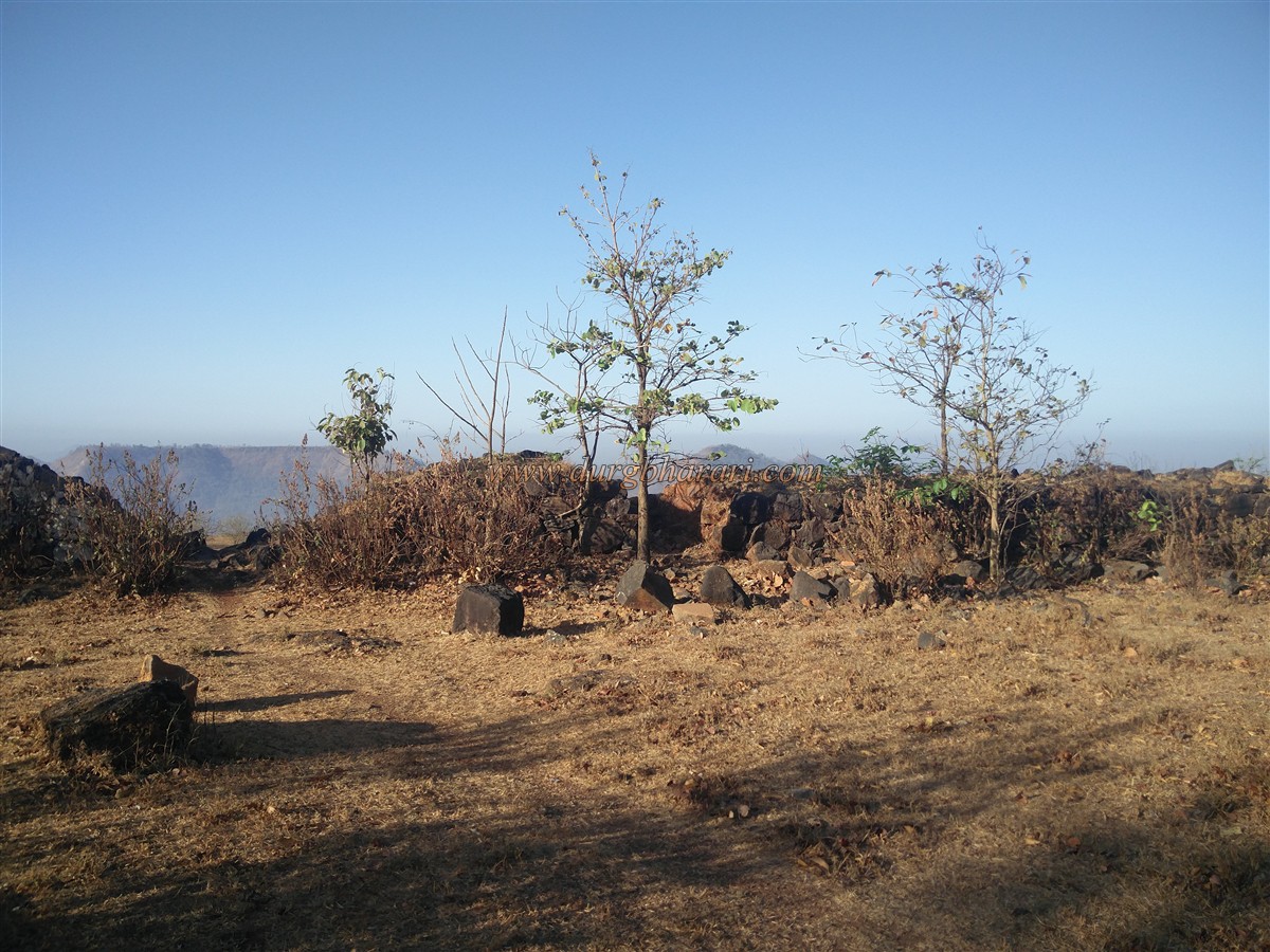
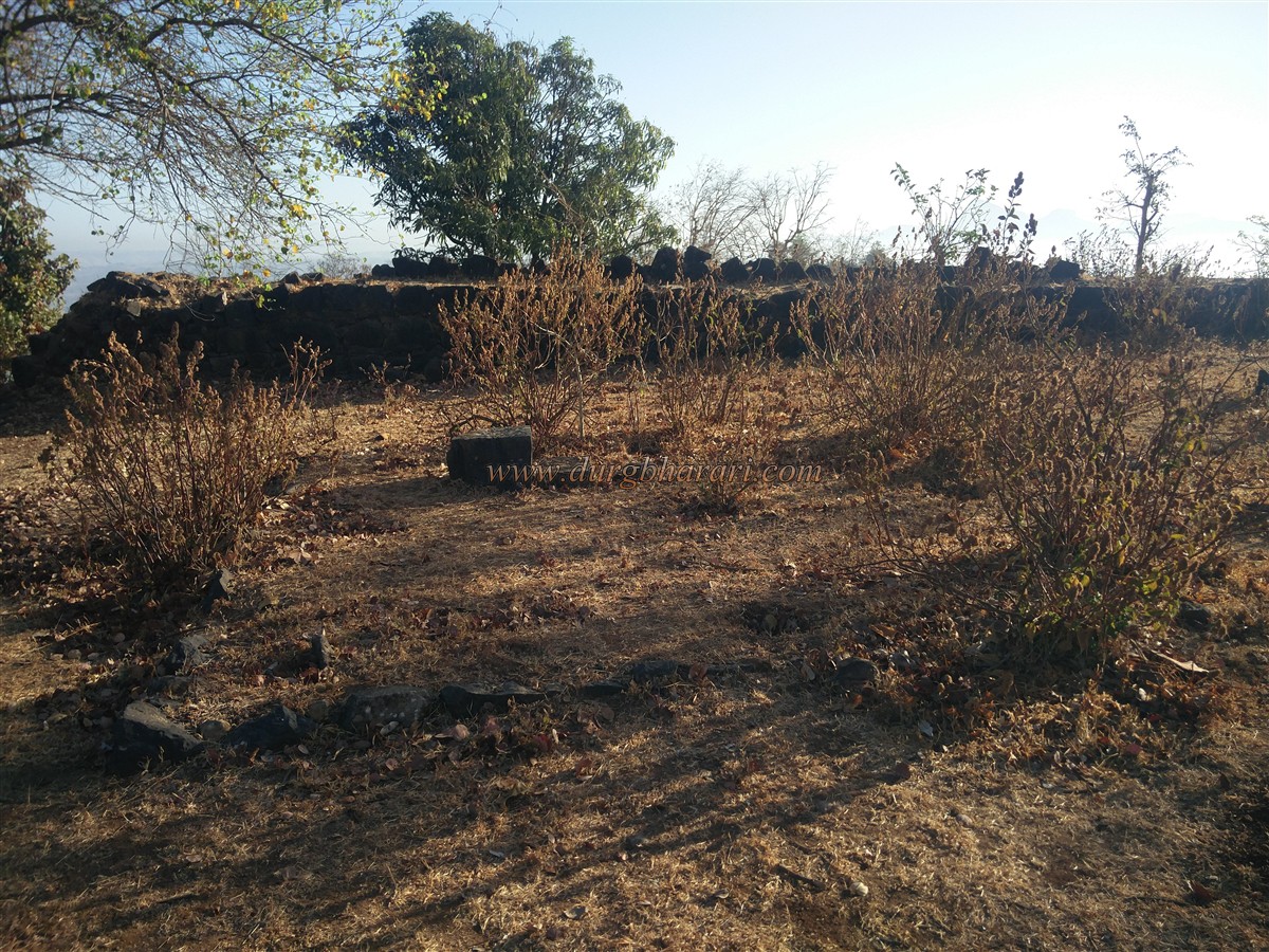
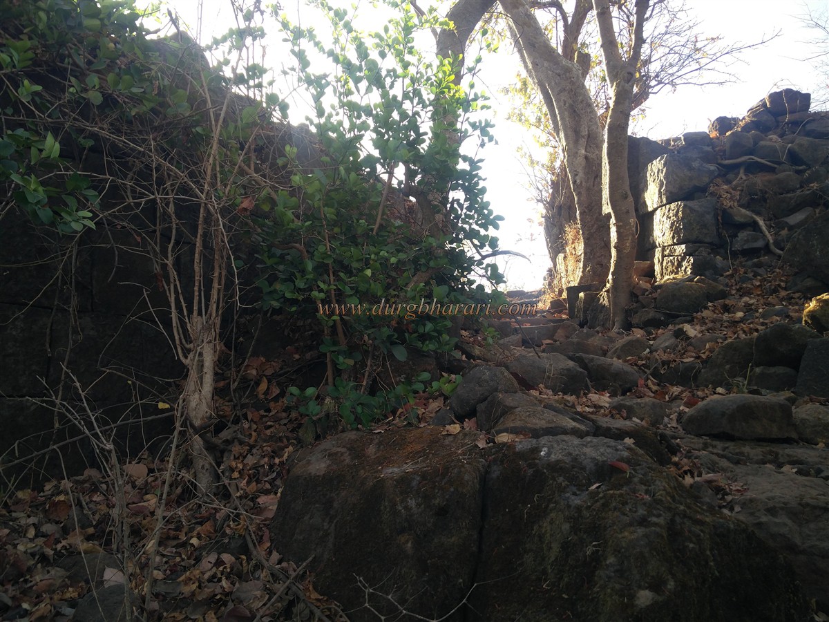
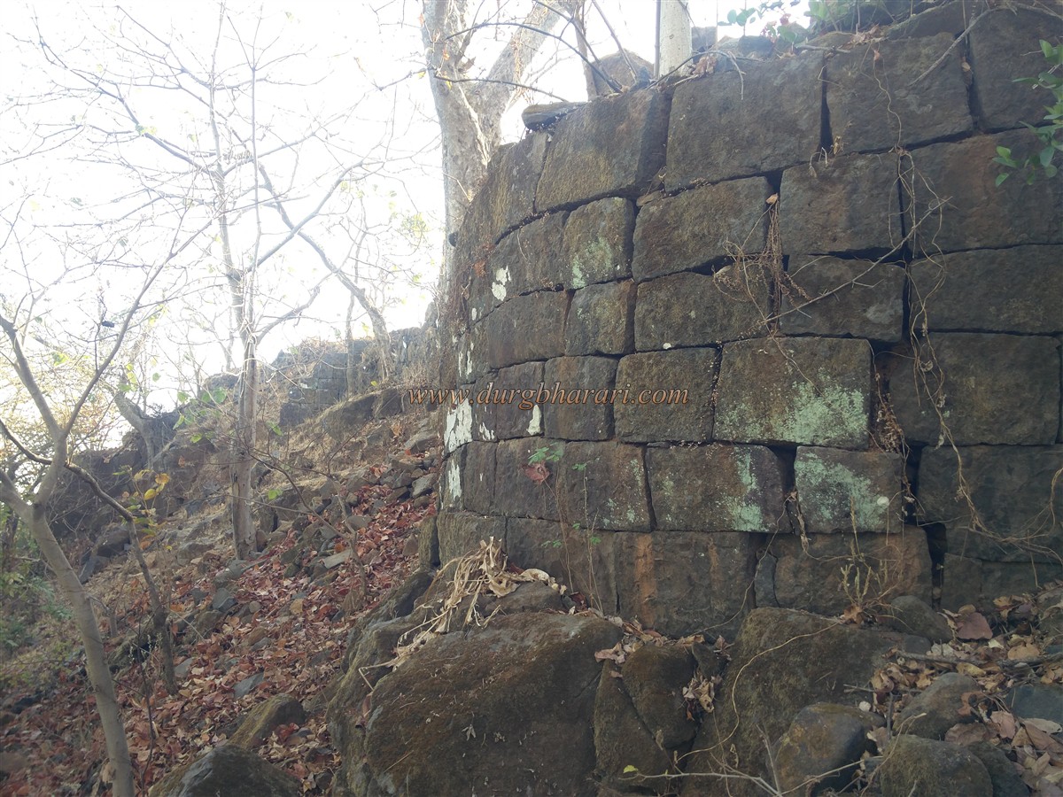
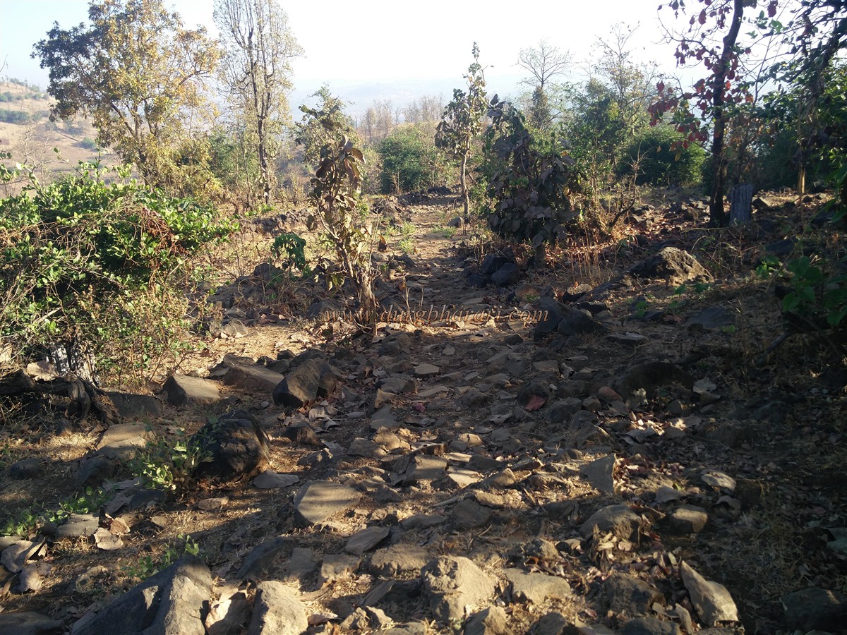
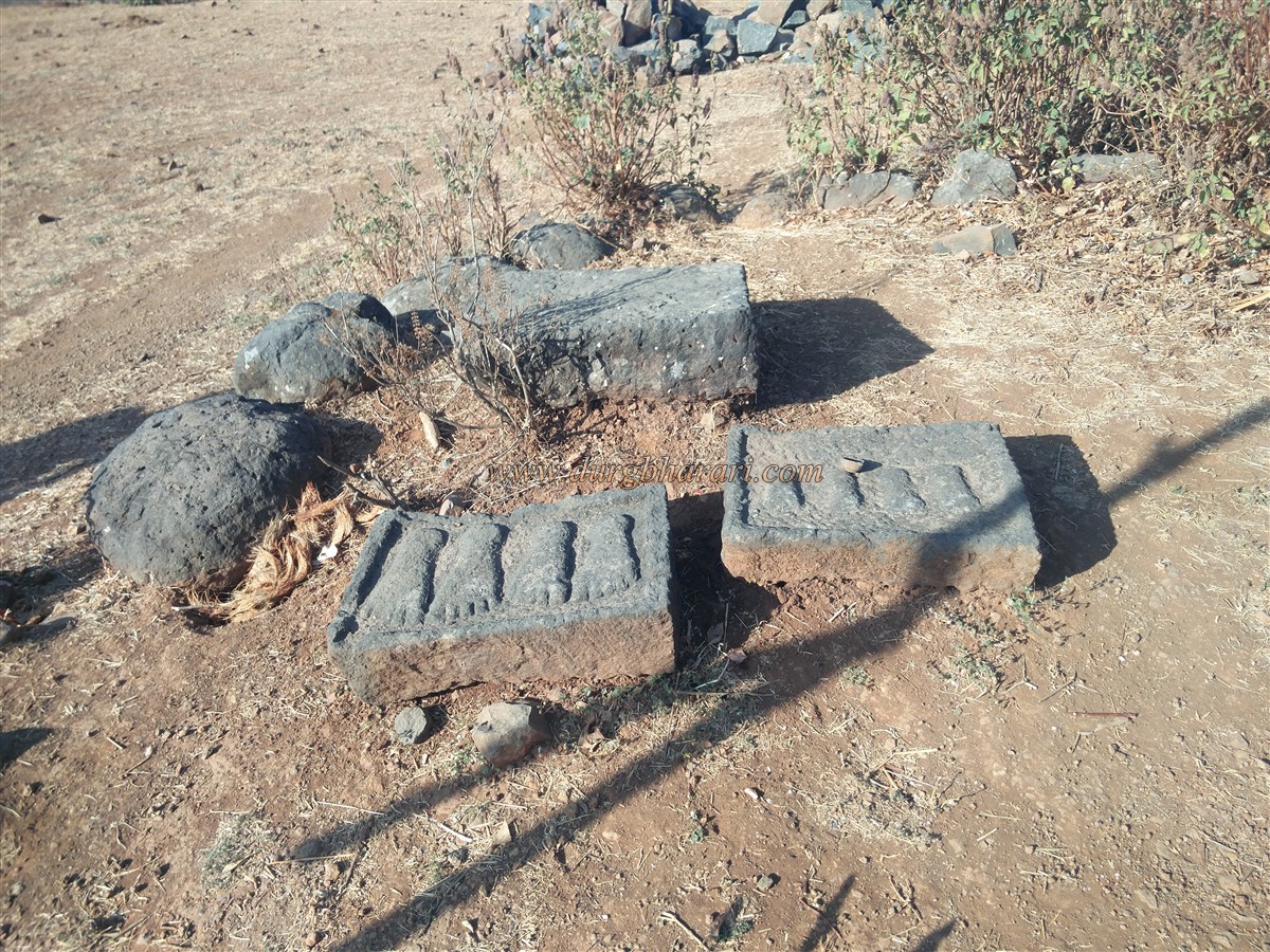
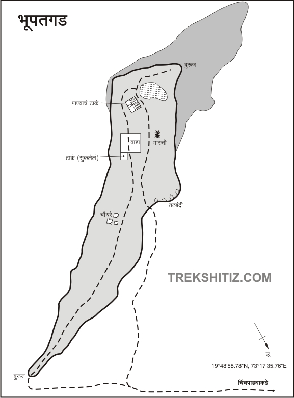
To reach Bhupatgad, Mumbai-Wada-Javhar-Jhap-Chinchwadi is the first way and Mumbai-Wada-Javhar-Rajewadi-Kurlod is the second. To reach Bhupadgad there are two foothill villages namely Chinchwadi and Kurlod. It takes 1.30 hours to reach the south of the fort while climbing a steep path whereas if go from the Chinchwadi fort the route directly takes you to the main part of the fort. As the Bhupadgad fort is not visible from the Chinchwadi village, there is a path that takes you around the hill in the front and to a footpath which leads to Bhupadgad fort. It takes half an hour to reach this footpath from Chinchwadi village. here the flag is hoisted by the villagers and one can see a carved stone and a Paduka carved on two stones. These stones are known as Sita’s footsteps by the villagers. From here, the densely wooded fort in front and its bastion on the left attracts our attention. There is a footpath leading to the fort and this way you can reach the east-facing gate of the fort in 15 minutes. The gate of the fort has been destroyed and the bastions on both sides of the gate have somehow survived. The fort is spread over 8 acres from south to north. The fort is 1530 feet above the sea level. When you enter through the door, there are two divisions, left and right. From here, start your fort round from the left. This way we reach the ruined bastion at the northern end of the fort. Only the bottom part of this bastion remains. After seeing this bastion, go to the south end of the fort. On the way, you can see the structure of some houses as well as the citadel’s rampart opposite to the hummock. This square-shaped citadel has four bastions at the four ends. But without going there, first, go to the south end of the fort. This is a descending part of the fort and the entire part is enclosed by a fortified stone wall. The second gate of the fort is destroyed. As you approach the ramparts, you can see a lake built on a hillslope.The wall on one side of the lake has collapsed and a large amount of rock and soil has accumulated inside. After visiting the lake, one can see a group of four tanks carved into the rock on the slope at the bottom of the citadel. The walls of these tanks are built of stone to raise the water level. The water in one of these tanks is potable. In the next part of the road, you can see the remains of a four-way path adjacent to the ramparts as well as an idol (Hanuman?). After seeing the idol, when you come towards the citadel, you can see its gate. There is a dry tank carved in the rock near the door and an underground door has been dug on the other side to go to the bottom of this tank. No remains can be seen inside the citadel. Your fort round ends after you walk out of the citadel from the path you came in. One hour is enough to walk around the entire fort. From the fort, remote areas like Tringalwadi, Harihar, Trimbakeshwar, Jawahar, Mokhada can be seen. Bhupatgad fort must have been built to guard the Thalghat trade route from Dahanu port to the Nashik market. During Shivaji Maharaj’s period, this region was known as the Ramnagar of the Koli kings. In 1672, the Marathas defeated Vikramshah, the king of Jawahar, and brought Bhupatgad under their control. The fort was captured by Mughal chief Matabbar Khan in 1689. There is not much mention of this fort in the history, considering its proximity to Jawahar province, it must have been in the possession of the Koli kings for most of the time.
© Suresh Nimbalkar
GALLERY