BHORWADI
TYPE : HILL FORT
DISTRICT : AHMEDNAGAR
HEIGHT : 2802 FEET
GRADE : EASY
Leaving behind the main Sahyadri range and heading toward Ahmednagar, one sees not towering peaks but a landscape dotted with several small and medium-sized hills. One such fort, located on a moderately elevated hill in Parner taluka, was brought to light recently (in 2020) by Nashik-based fort enthusiast Sudarshan Kulathe. Since the original name of the fort is unknown, it has been named after the nearby village at its base—Bhorwadi.
On the other side of the fort lies the village of Mhasoba Jhap, considered the primary access point. Private vehicles can reach the base of the fort from this village via the Kanherwadi route, making it the most convenient and, arguably, the main route to the fort. Mhasoba Jhap is about 40 km from Alephata–Rajuri–Belhe and 62 km from Ahmednagar city via Takli Dhokeshwar.
...
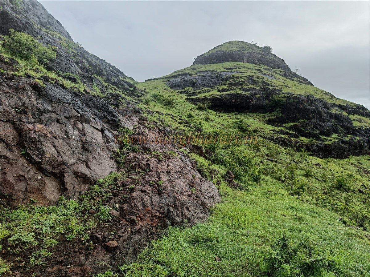
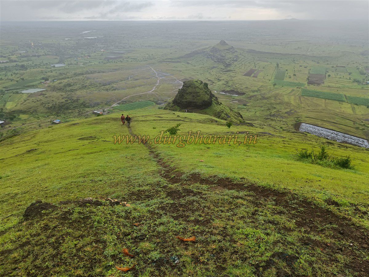
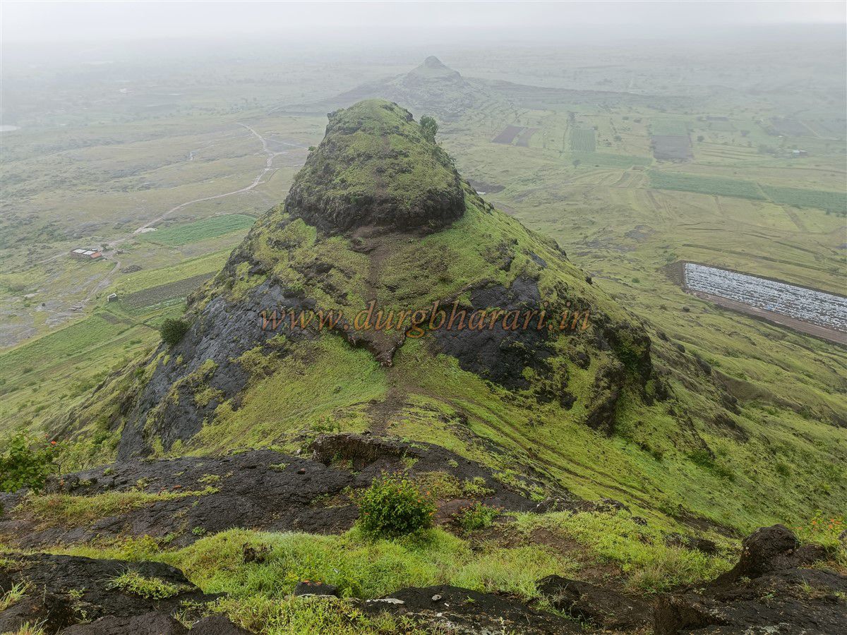
At the summit of the fort stands a shrine dedicated to Maulai Devi. Due to regular visits by local devotees, the path leading to the top is well-trodden. Locals refer to this hill as “Chuchula.” A tin-roofed shelter, visible from a distance, marks the starting point of the path leading to the fort.
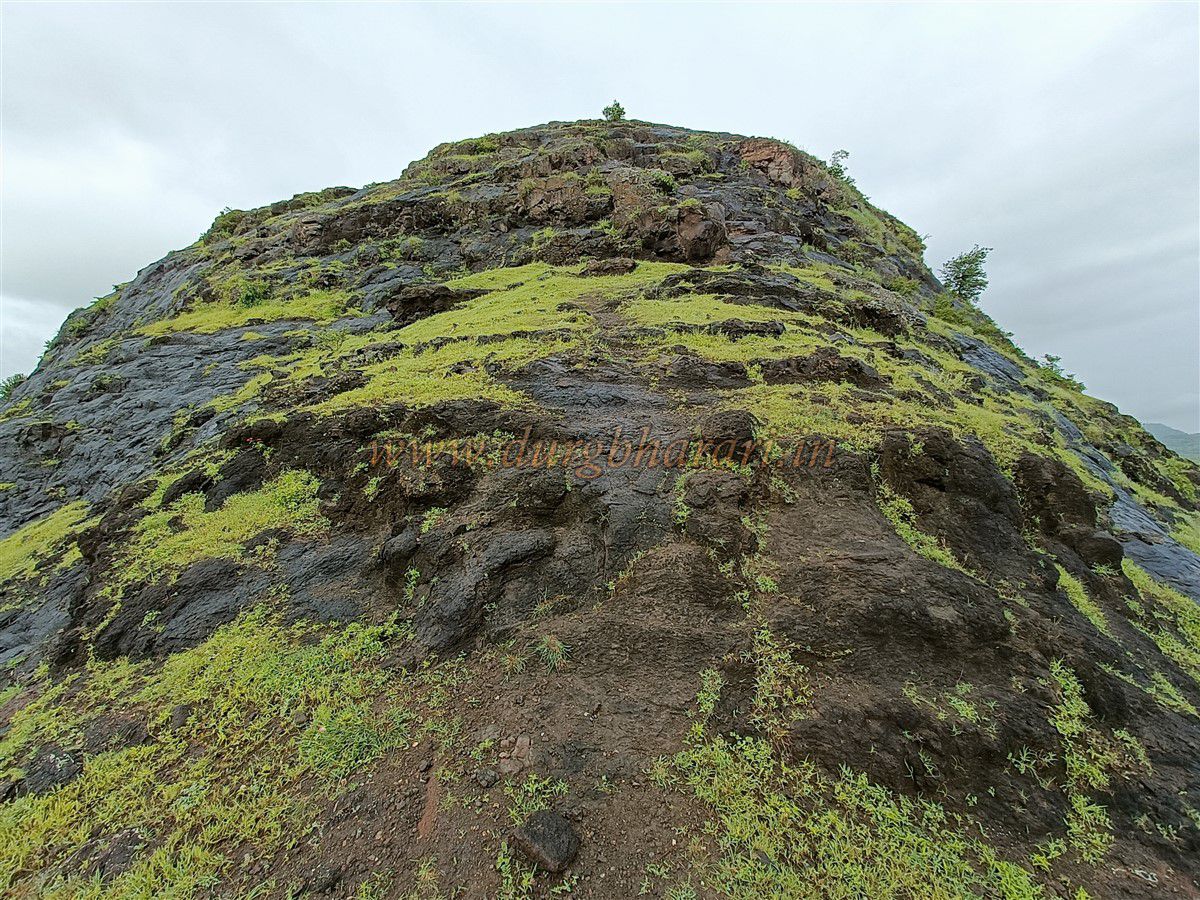
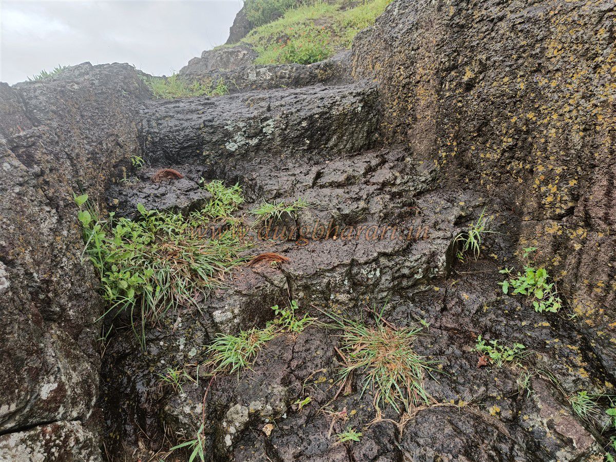
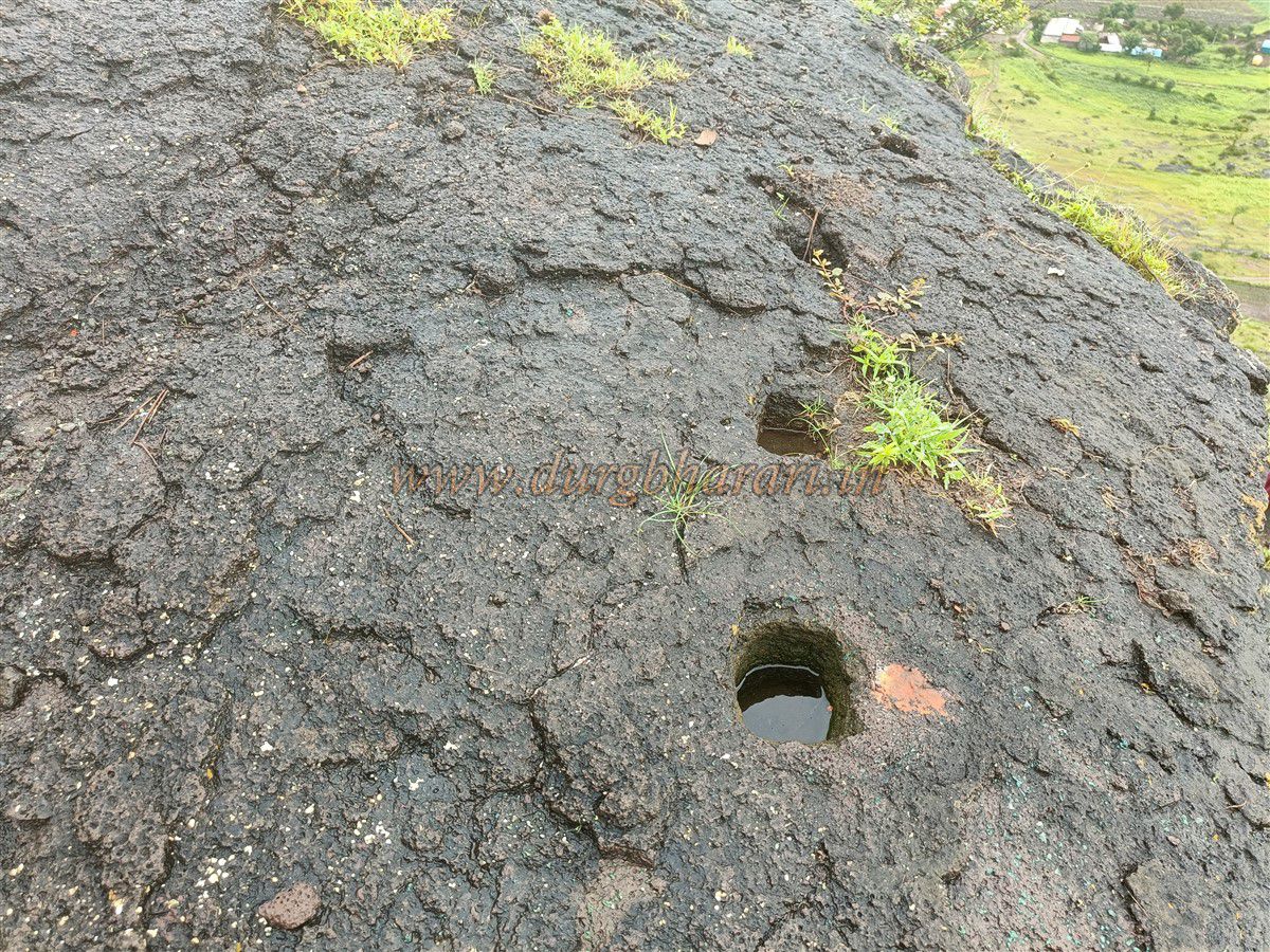
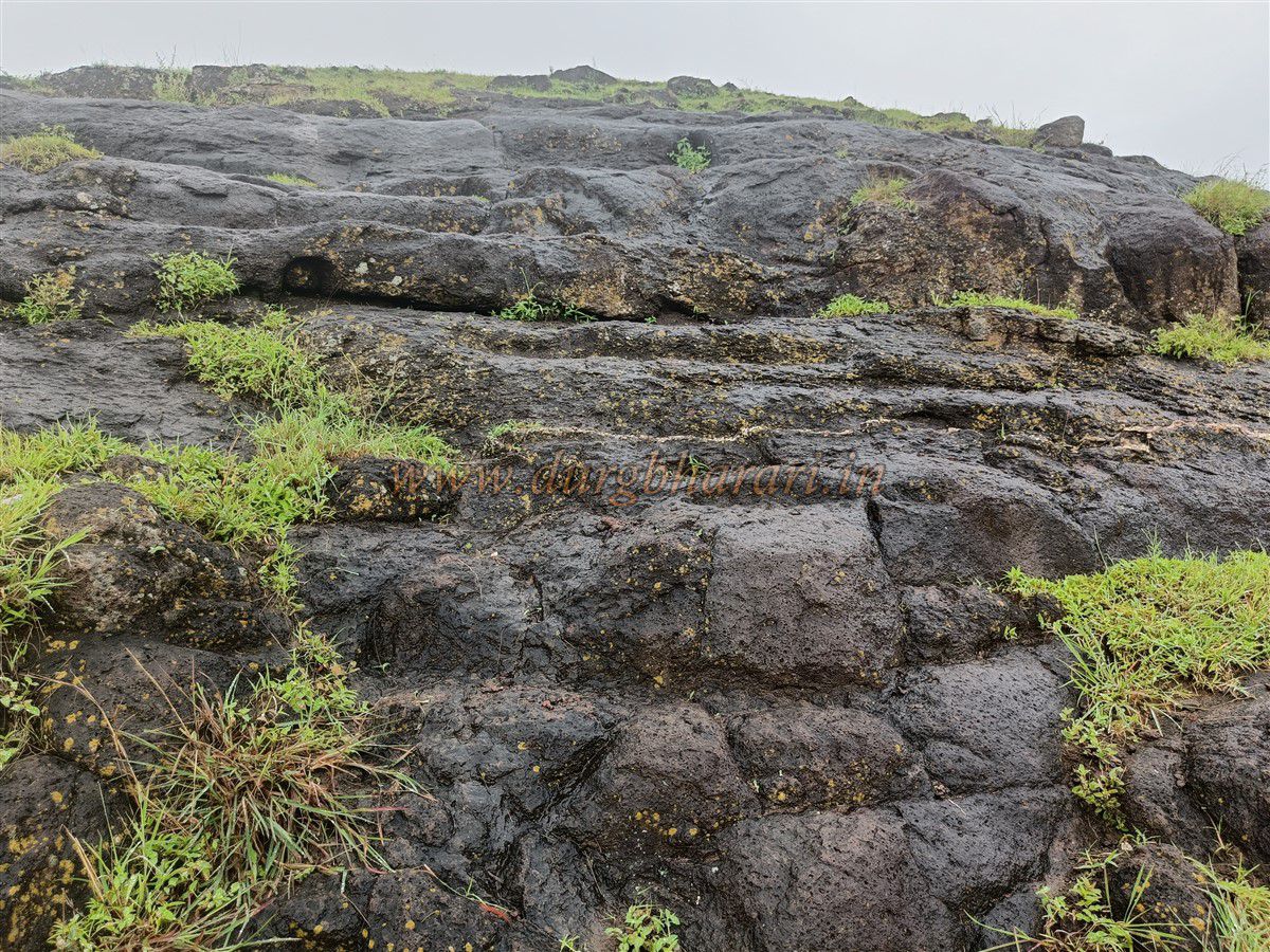
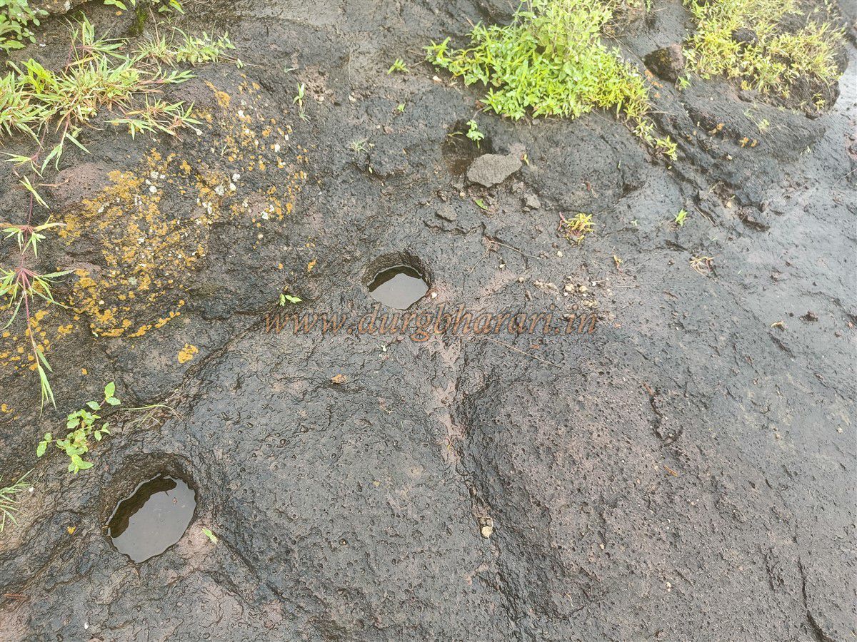
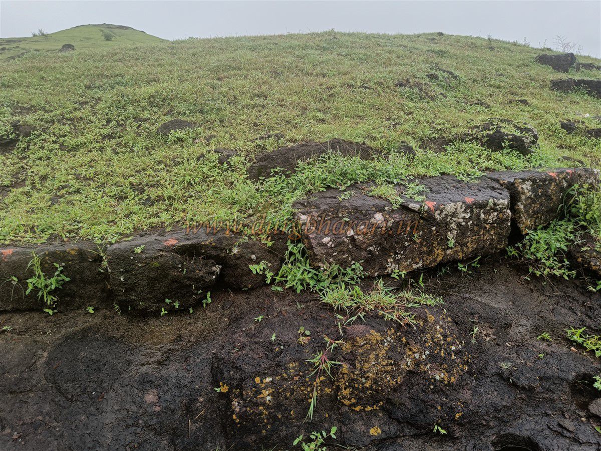
After beginning the ascent, within 10 minutes one reaches a narrow pass between the main hill and an adjacent one. From here, the path turns left and begins climbing the fort. At the beginning of the climb, worn-out stone steps are visible, leading to a partially carved doorway and stairs in the rock above. Nearby, neatly cut stones appear to have been arranged for fortification, and one can also spot rock-cut holes possibly used for breaking stones. Based on these signs and remains, it seems the construction here was left incomplete for some reason.
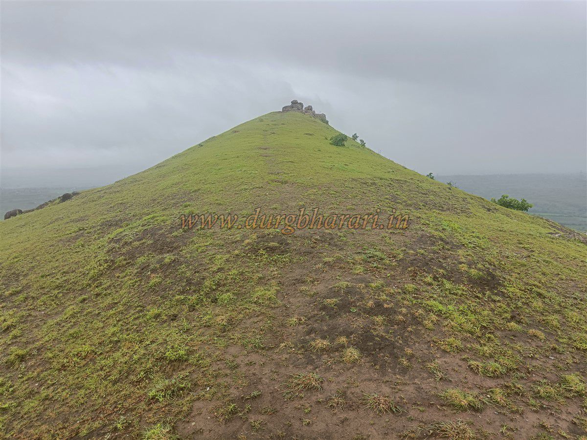
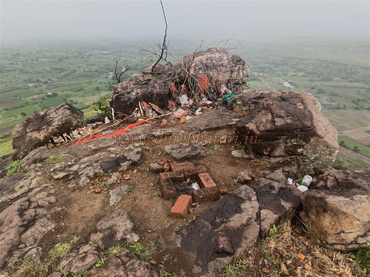
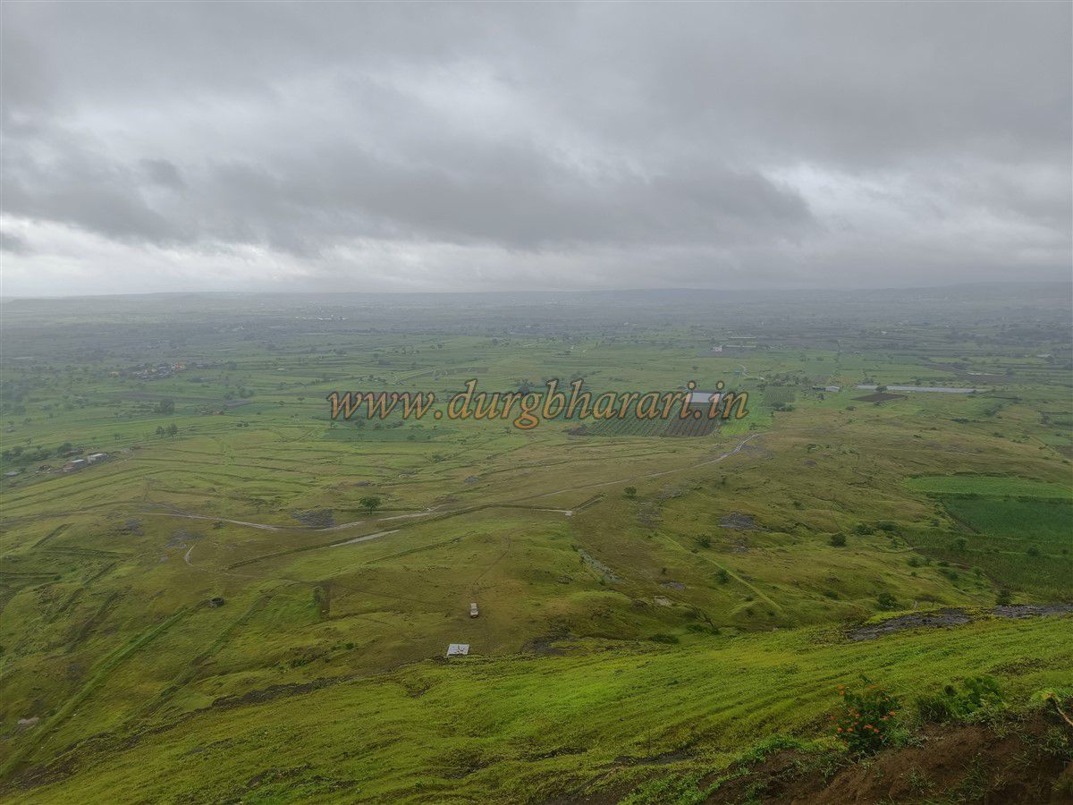
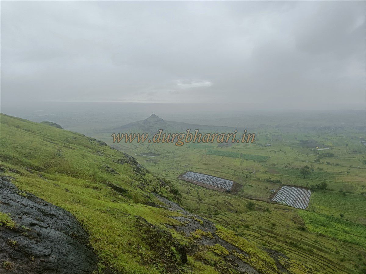
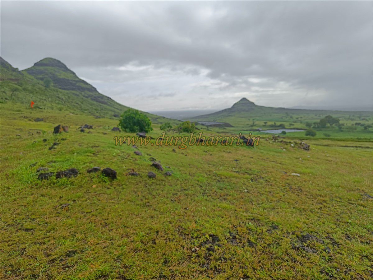
From this point, a short soil-covered incline leads to the highest point of the fort. Here, a symbolic representation of Maulai Devi is worshipped by offering turmeric, vermilion, and bangles. The elevation at this spot is 2,802 feet above sea level. Being one of the taller hills in the region and surrounded by a vast flat landscape, this spot offers a panoramic view of the surrounding area.
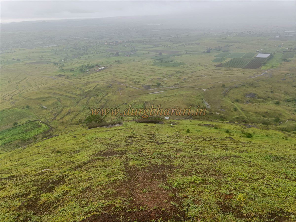
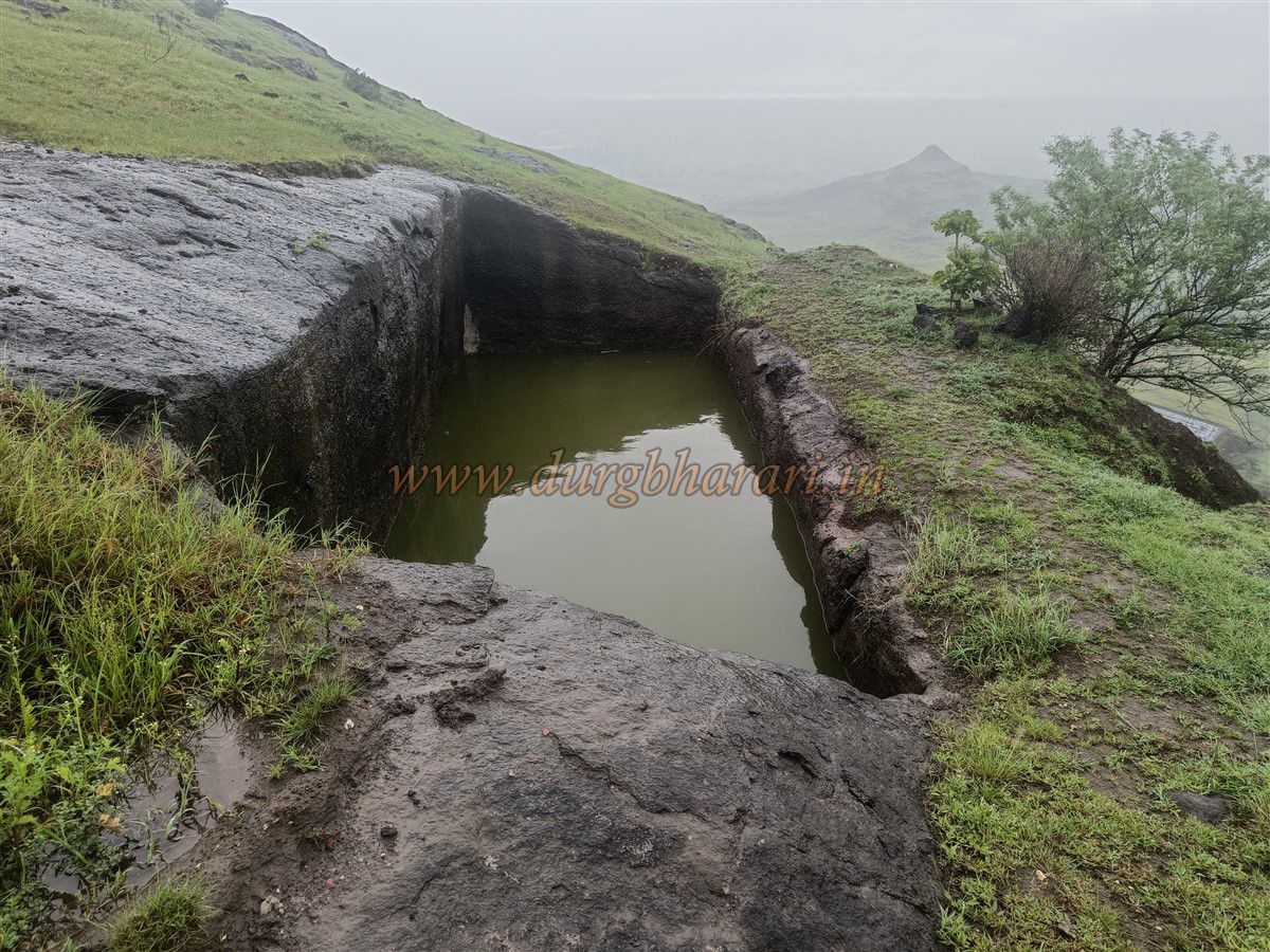
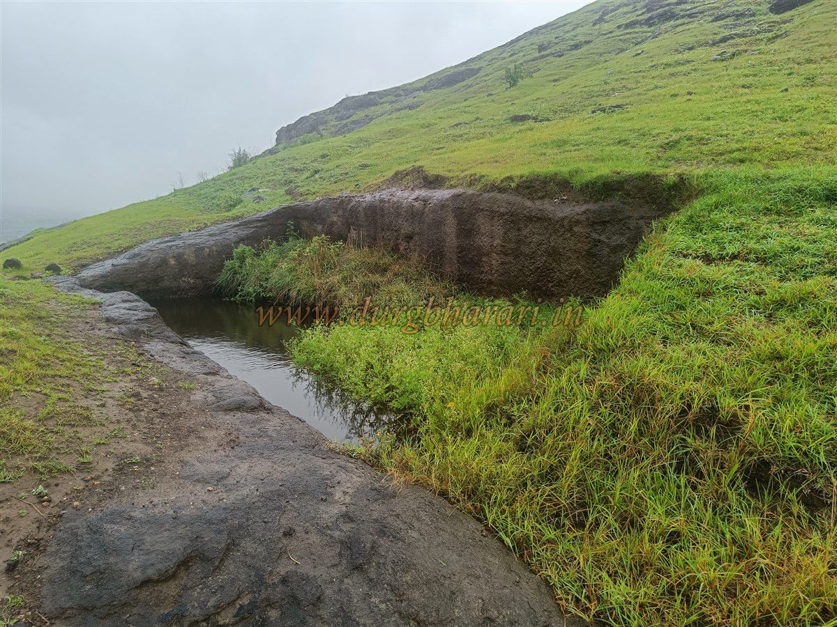
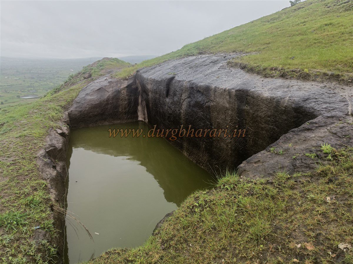
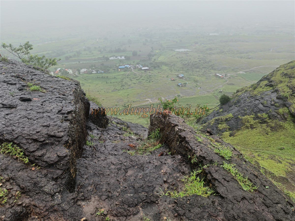
Looking to the east (right side of the fort) from the top, one can see two rock-cut water tanks situated downslope. These are easily accessible and each measures about 20 by 8 feet. Although they hold water, it is not suitable for drinking due to lack of use or maintenance. Moving northward along the plateau toward the entrance area, another buried water tank can be seen.
There are no other visible structures or ruins atop the plateau. As the original name of the fort is unknown, its historical background also remains a mystery. However, given its central location between Ahmednagar, Sangamner, and Junnar, and the nature of its remains, the fort was likely used as a watchtower or observation post.
A round trip from the base to the top and back takes approximately one hour.
© Suresh Nimbalkar
GALLERY