BHIVGAD
TYPE : HILL FORT
DISTRICT : RAIGAD
HEIGHT : 785 FEET
GRADE : EASY
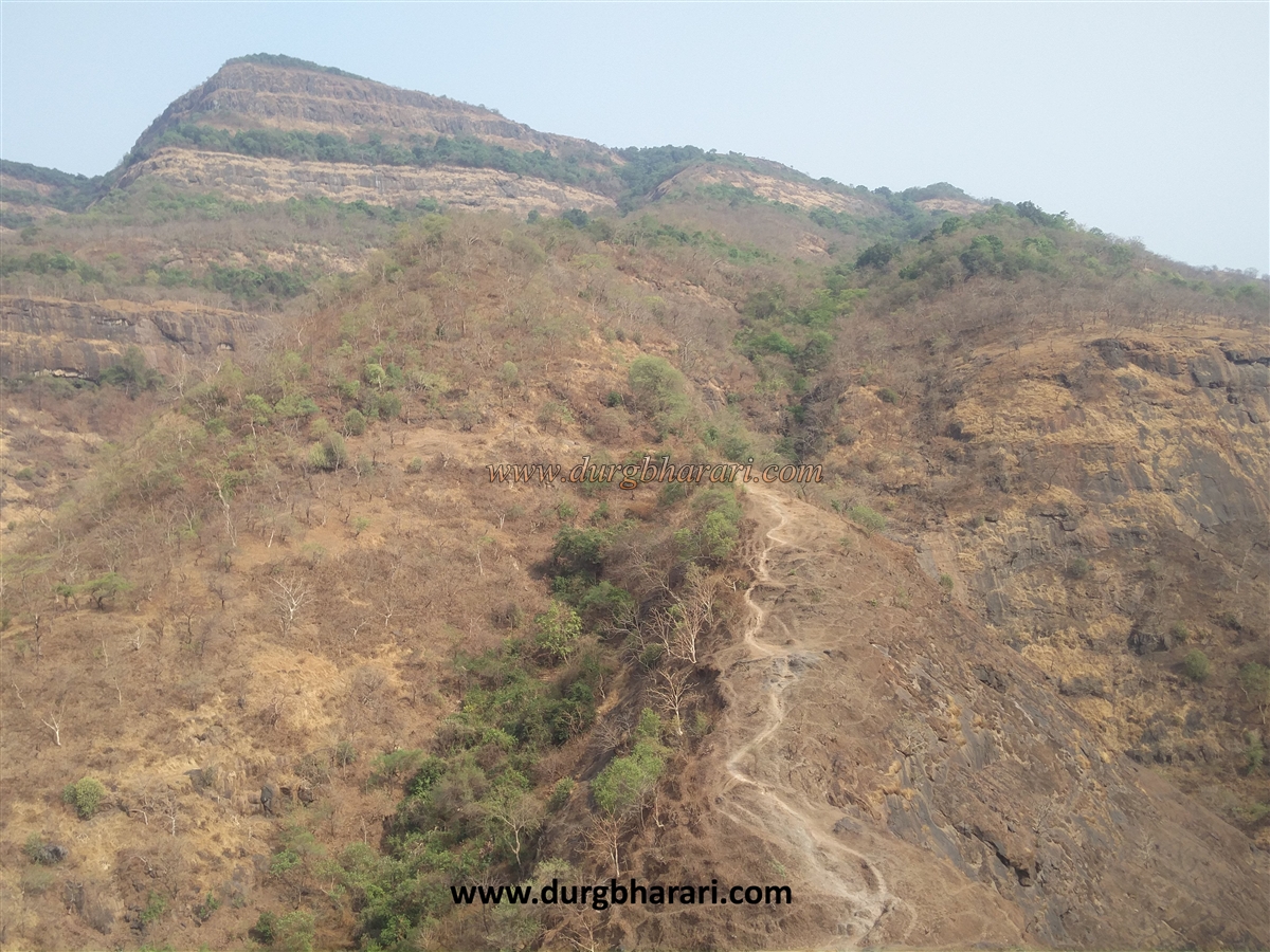
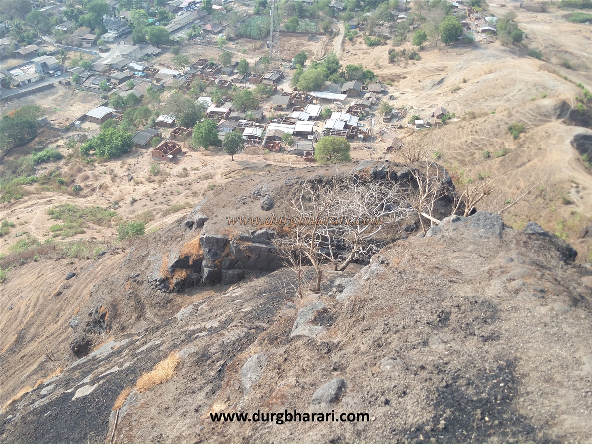
Every fort has got its own identity due to the events that took place in history, but there are some forts where some important events did not take place and if they took place, they were not recorded in history and these forts have been forgotten and neglected today. Bhivgad fort is one of the many such forts. Despite being close to Mumbai-Pune very less amount of trekkers visit this fort. The tourists who visit the Dhak Bahiri fort, sometimes, also visit Bhivgad in a rush. In the rainy season, some tourists come to this fort to see the waterfall behind Vadap village. The information of this neglected fort is not easily found. Bhivgad aka Bhimgad stands on a small hill behind the two villages of Vadap and Gaurkamat near Karjat. The narrow-shaped fort is spread north-south and is 850 feet above sea level.
...
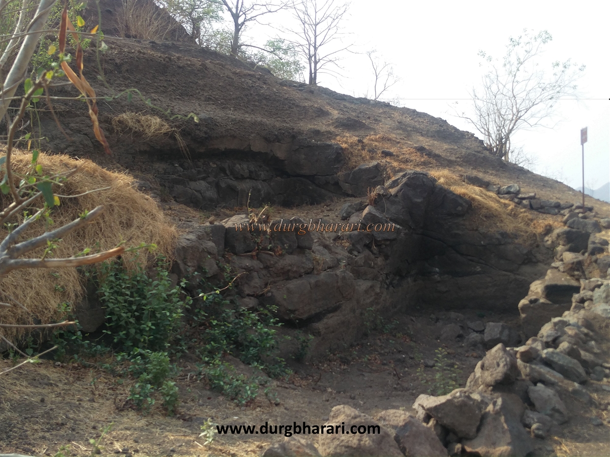
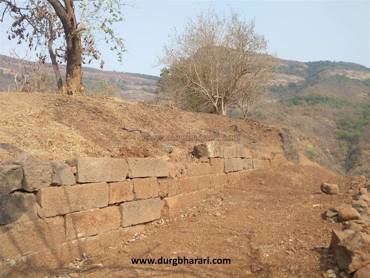
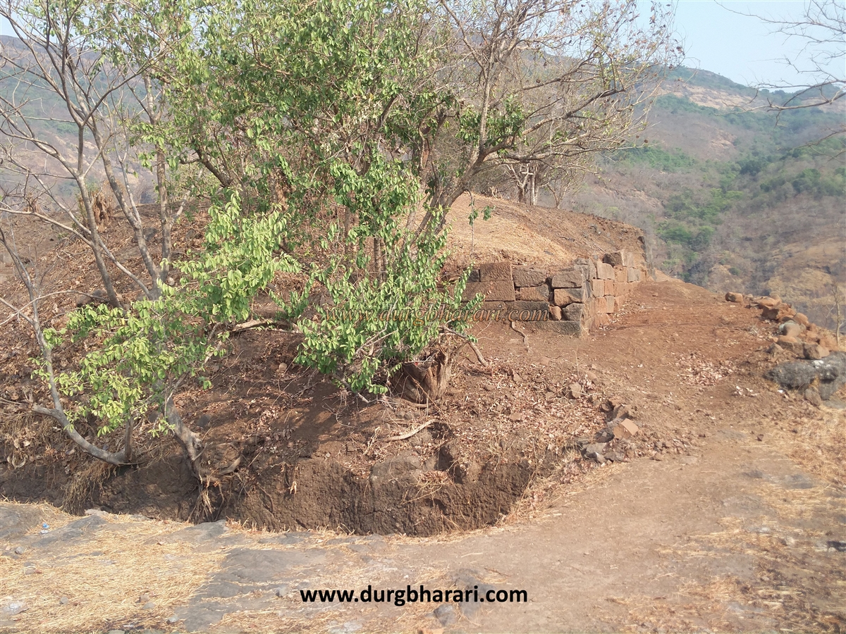
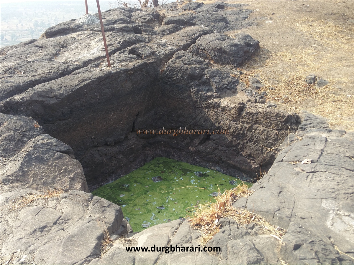
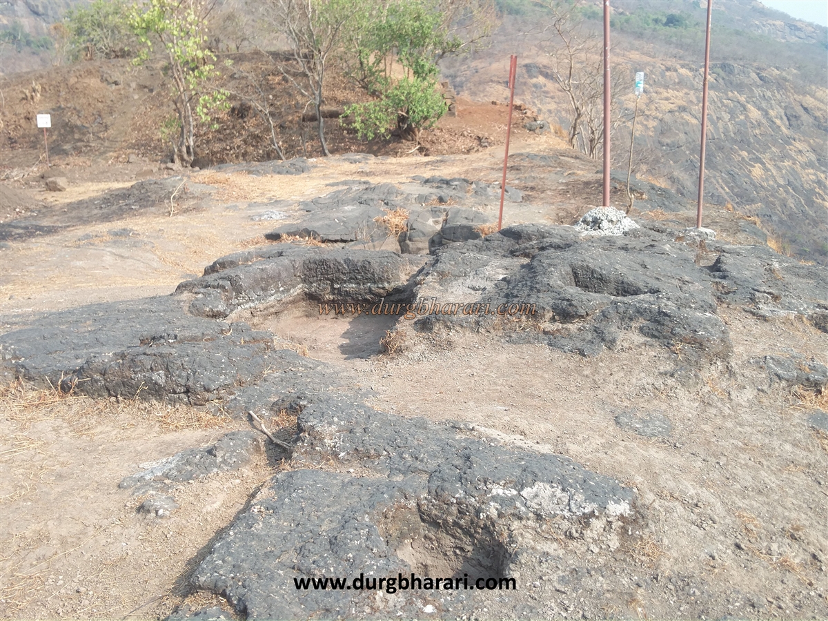
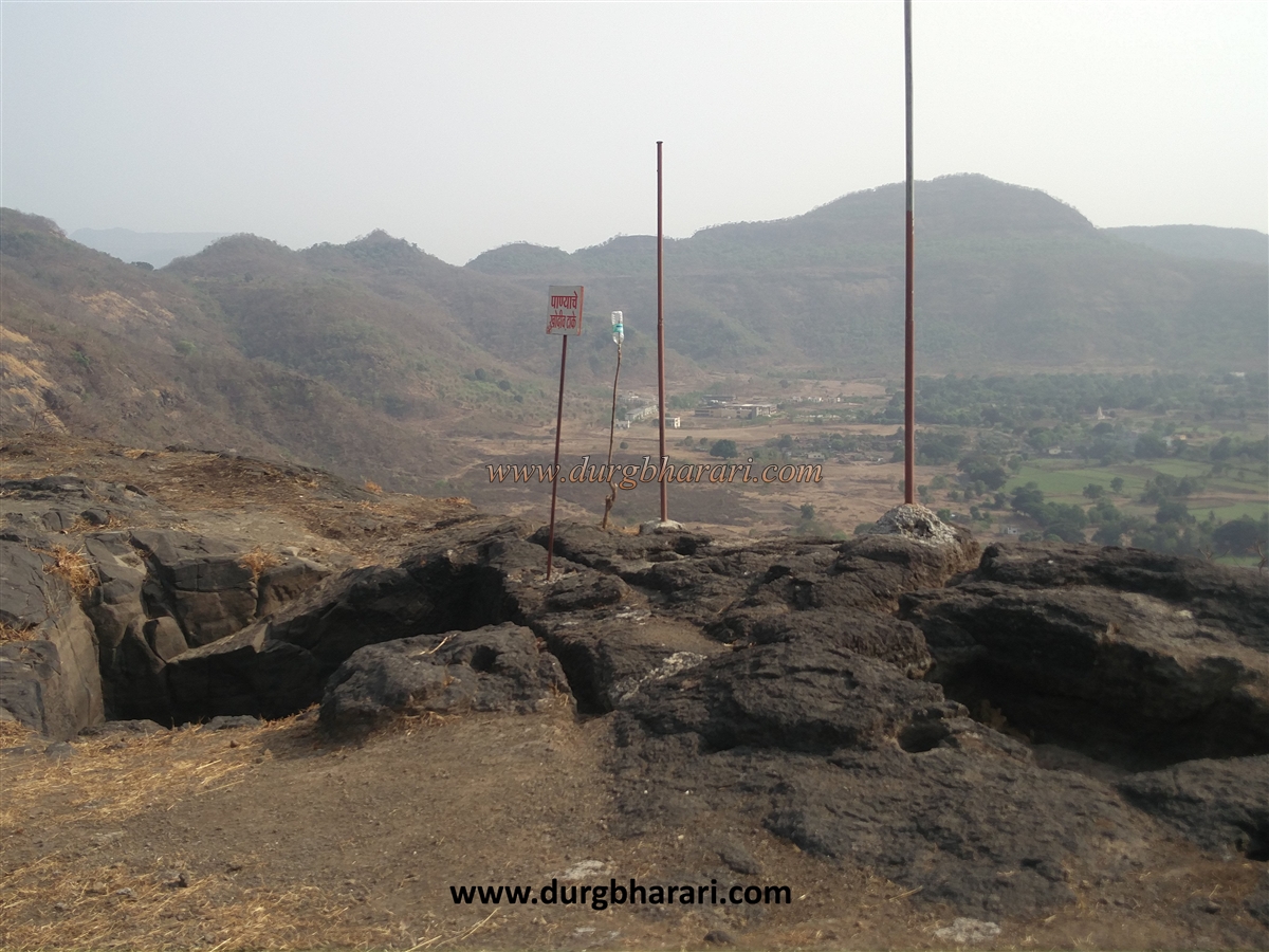
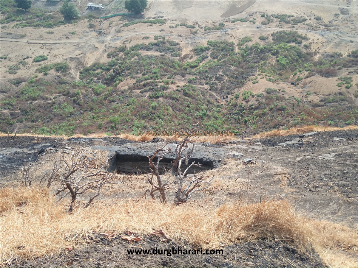
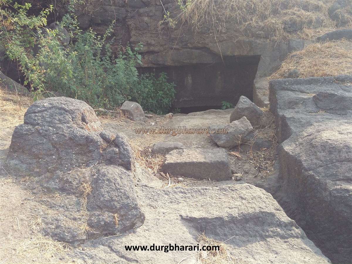
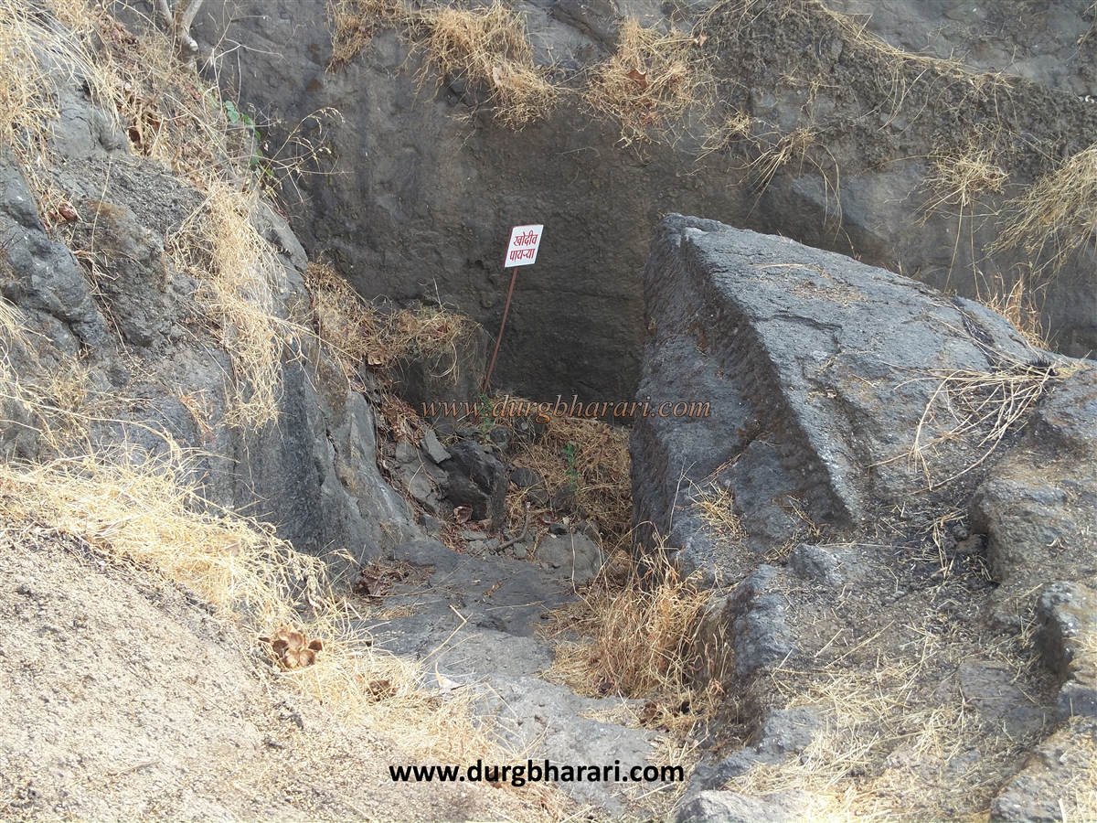
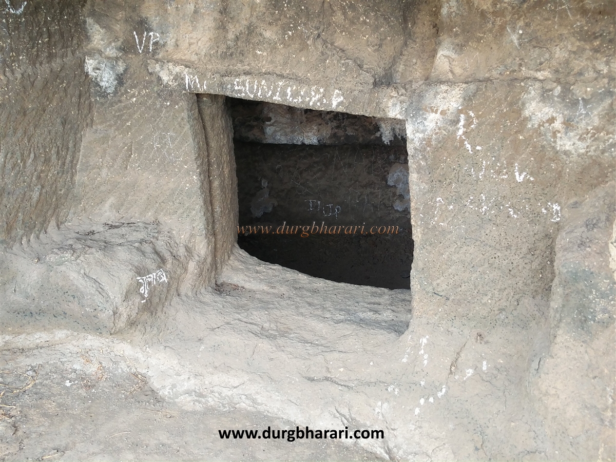
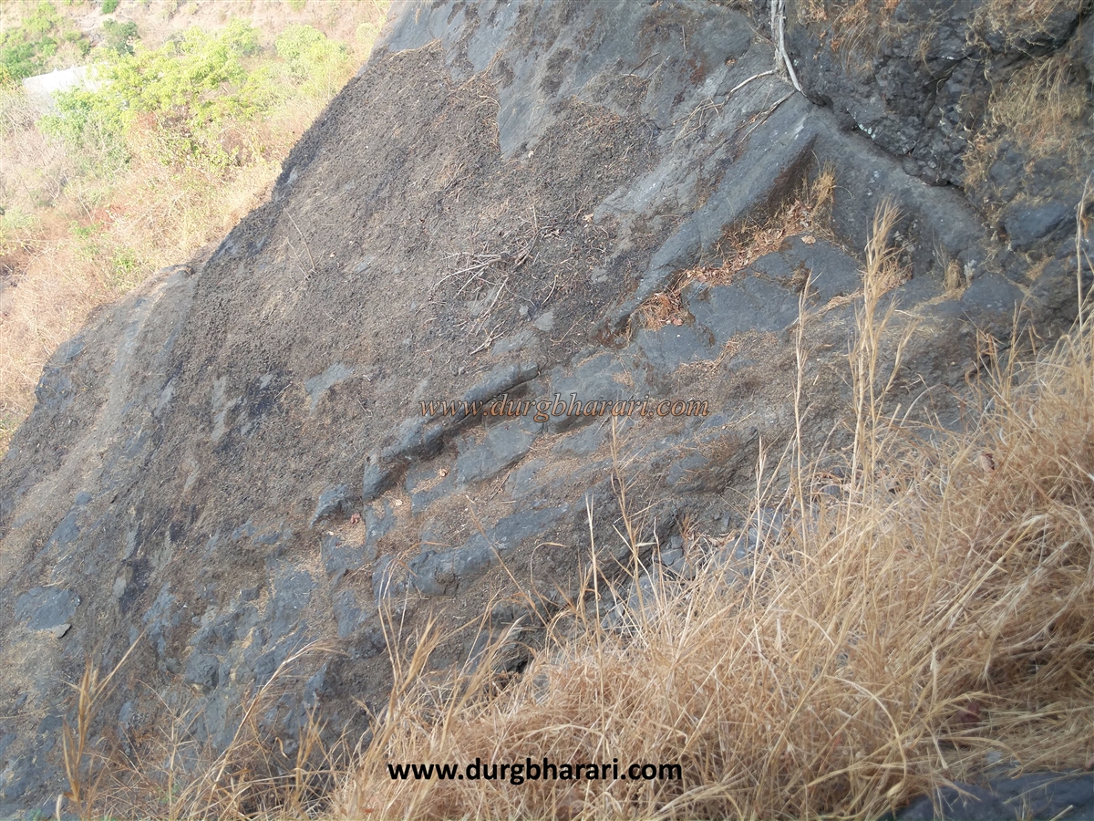
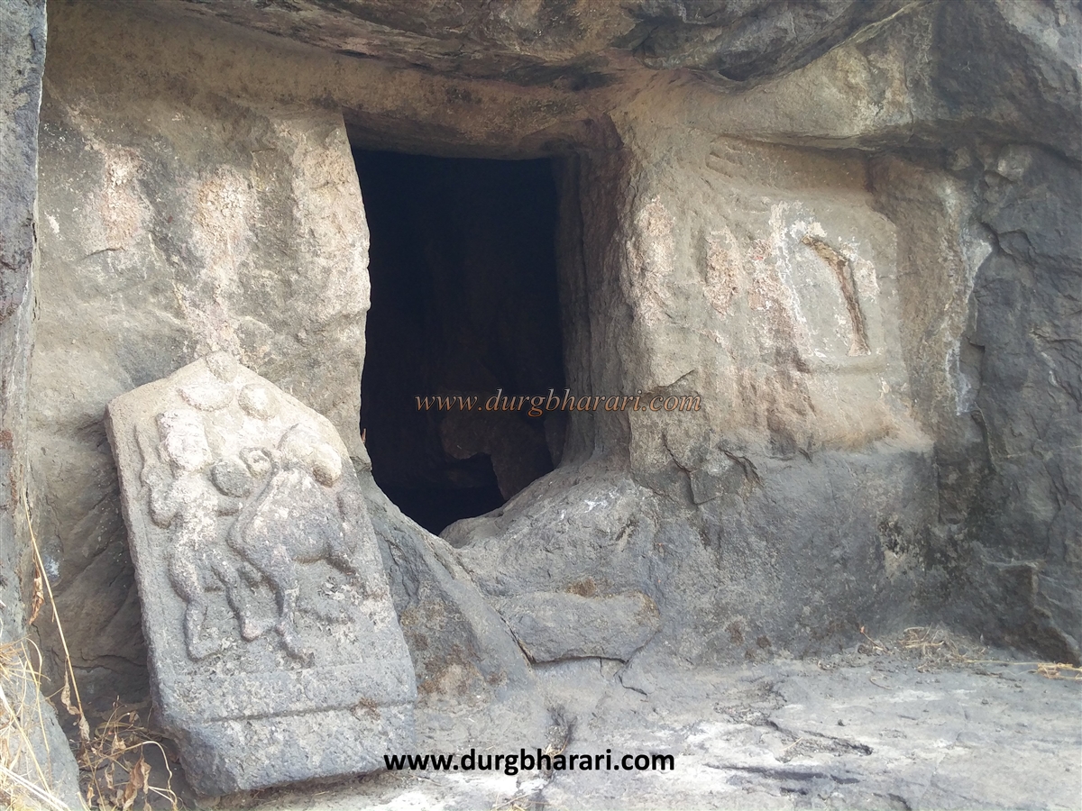
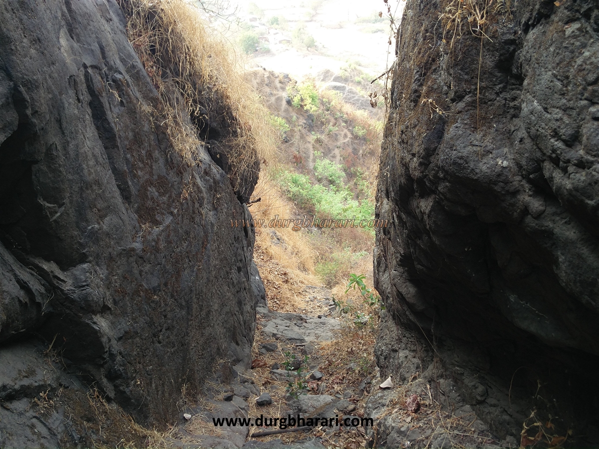
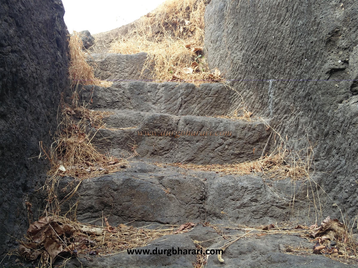
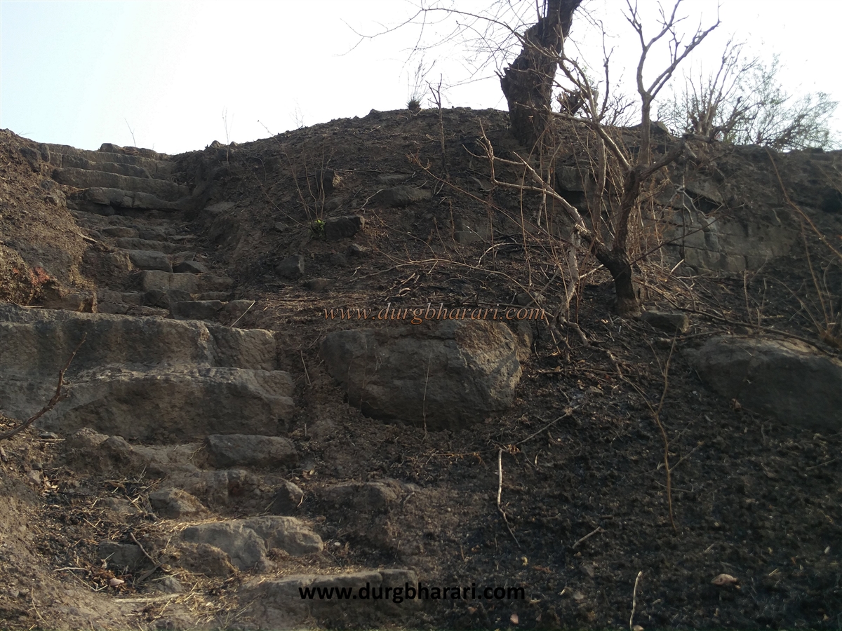
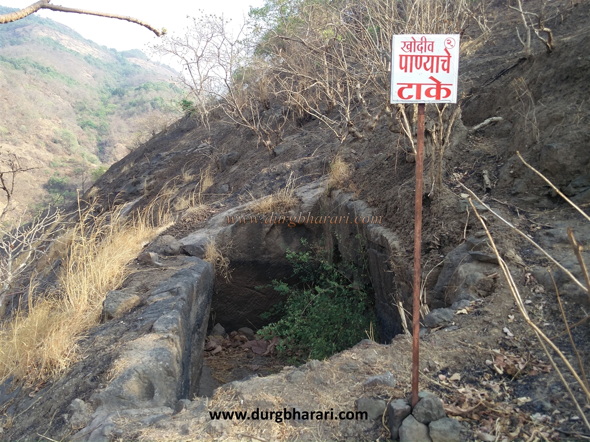
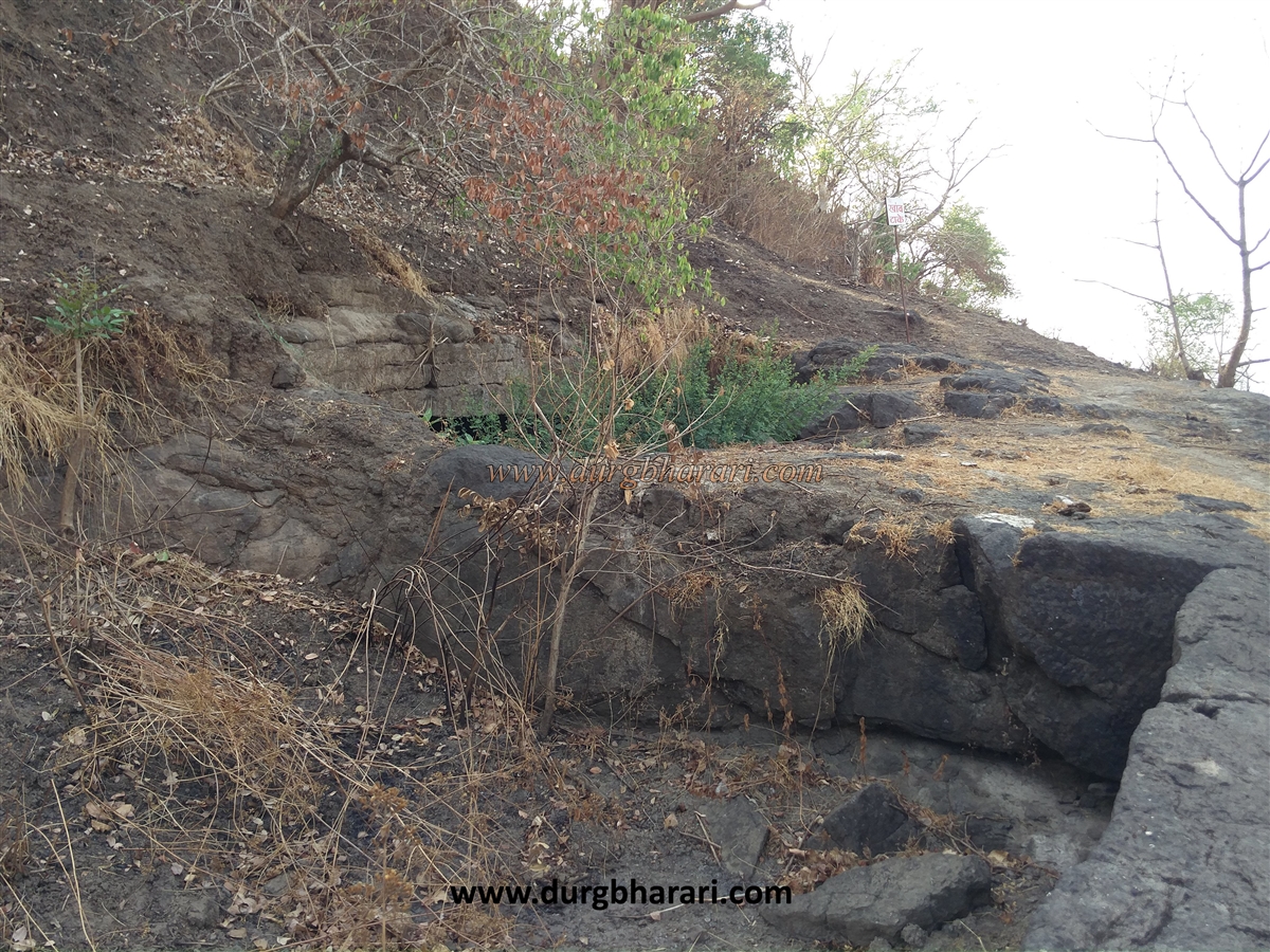
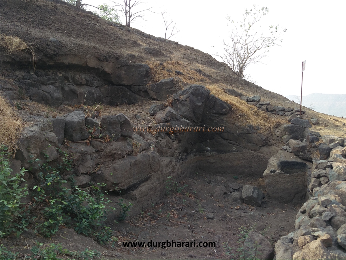
The length of the fort is 1000 x 150 feet and the total area at the top of the fort is four acres. Vadap village is at a distance of 5 km from Karjat. Gaurkamat village is 1 km away from Vadap. Bhivgad can be reached from both of these villages in half an hour. On the way from Vadap village to Gaurkamat village, a sign is seen showing the way towards Gaurmata temple. From here, the road on the right-hand side leads to the Gauramata temple. At the end of the road to the temple, leave the car on the side of the electric pole. After 15 minutes, you come to the Bhivgad pass. On reaching the gorge, the path on the left side leads to Bhivgad. The fort can be reached in 10 minutes through this pass. There is a road from Gaurkamat village to Bhivgad from the top of the hill and this is the main and convenient way to reach the fort because if you climb the fort from Vadap village, you have to go down more than half of the fort to see the entire fort and ruins. You have to return to Vadap village after the fort round, so you should climb from Gaurkamat village. This is the old and main road of the fort and all the remains are on this road. The staircase to climb the fort from Gaurkamat village is carved in the rock. There is a large amount of wrought stone and rubble in this area. This is likely to be the main gate of the fort. On the right side of this place, two caves are carved on the upper part of the ridge. Both these caves have proportional doors and the first cave is 40x30x15 in size. A-frame has been carved on the outer wall of the cave and a sculpture of a human and animal carving has been placed outside the cave. The second cave is on the upper side and is partially excavated. The next forty to fifty feet road from here is carved in the rock. When you reach the top of these steps, you can see some fortifications buried in the ground and also a staircase. After climbing these steps, you enter the Machi of the fort. There is an underground water cistern carved into the rock in front. In case the cistern is full of water, a gutter has been carved in the rock to carry water out of it. There are a total of nine water cisterns on the fort, one of which is from the Satavahana period. Out of the nine cisterns, six cisterns are dry and only three cisterns have water throughout the year but the potable water is only in the underground cistern. There is a path leading to the citadel from the upper side of the underground cistern. On the way to the citadel, you can see two cisterns carved on the slope on the right side, while the path on the backside leads to the trunk of the fort. The next part of the hill is separated from the fort by a forty to fifty feet trench to prevent access to the fort from here. From here, the entire path leading to the fort is vulnerable to the people from above. On the way back to the citadel, you have to cross a small gorge to reach there. Before entering the citadel, one can see a path going to the left. Going further along this path, you can see an ancient cistern with pillars 50 x 40 feet in length carved out of the rock. Adjacent to this ancient cistern is another excavated cistern. Going a little further you can see another cistern. After seeing all this, go back to the citadel. Upon entering the citadel, you can see two full and two partially carved cisterns, some potholes, and a fluttering saffron flag. On the front side, a half-buried wall of a mansion can be seen. From here, you can see Dhak Bahiri fort in front. At this end of the fort, there is a bastion and ramparts buried in the ground and even here the front part of the hill is separated from the fort by a 30 to 40 feet deep drop. The hills that have been carved is visible here. When the fort was being built, there was no entrance to the fort from here, but now the ramparts have collapsed and the gorge is filled with stones to some extent and the way to reach the fort from here was made. The mansion in the citadel is the highest part of the fort and from here you can see the distant region up to Sondai, Irshalgad, Prabalgad, and Matheran mountain ranges. The remains of the fort have been buried in large quantities. Even though the ramparts, bastions, entrances of the fort do not exist, their existence is felt. One hour is enough to explore the entire fort. If you go through the pages of history, you will not find any information about this fort. The Durgveer organization in Mumbai has undertaken the task of renovating the fortifications on this fort. On Sundays, some of the cisterns on the fort have been cleaned and the sludge has been removed. The wall buried in the ground has been excavated. The road leading to the fort from Vadap village has been repaired and signboards have been erected at various places showing the location of the remains. Salute to these heroes of the Durgveer organization.
© Suresh Nimbalkar
GALLERY