bhilai
TYPE : HILL FORT
DISTRICT : NASHIK
HEIGHT : 3380 FEET
GRADE : HARD
Satana-Kalvan taluka in Nashik district was formerly known as Baglan. There is a mountain range called Salbari-Dolbari near Satana. In this flat area, you can see very tall mountains. Bhilai is an unknown fort in Satana taluka. This fort, which is not mentioned in any gazetteer or book, was brought to light in 1985 by historian Girish Takle through the Vaintay Mountaineering Institute. The height of the fort is 3478 feet above sea level and about 1800 feet from the base. By keeping Satana village in the center Various forts around can be explored. Salher, Salota, Mulher, Mora, and Hargad are the forts of Selbari Dolbari Range. There are many forts like Bhilai, Karha, Bishta, Ajmera, Dundha, Mohandar, Pimpala, Pemgiri in the central part of Baglan. All these forts can be explored considering Satana city in the center.
...
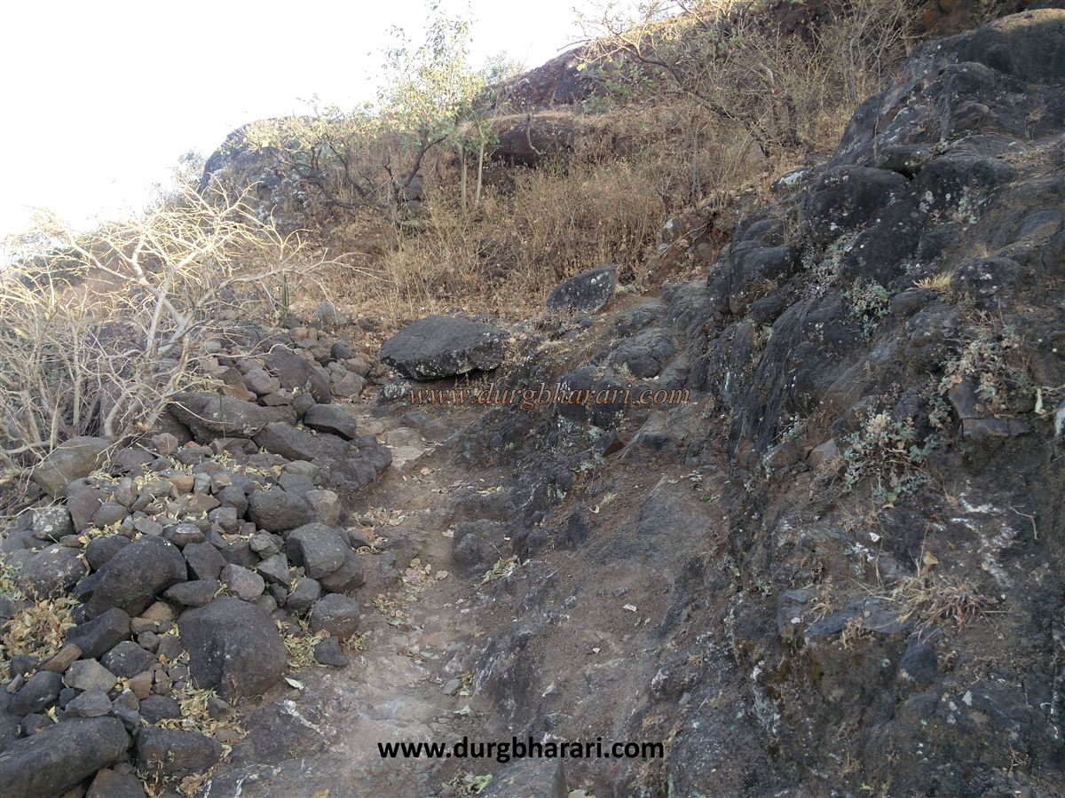
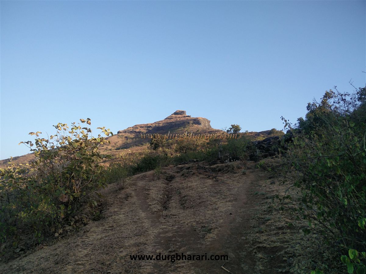
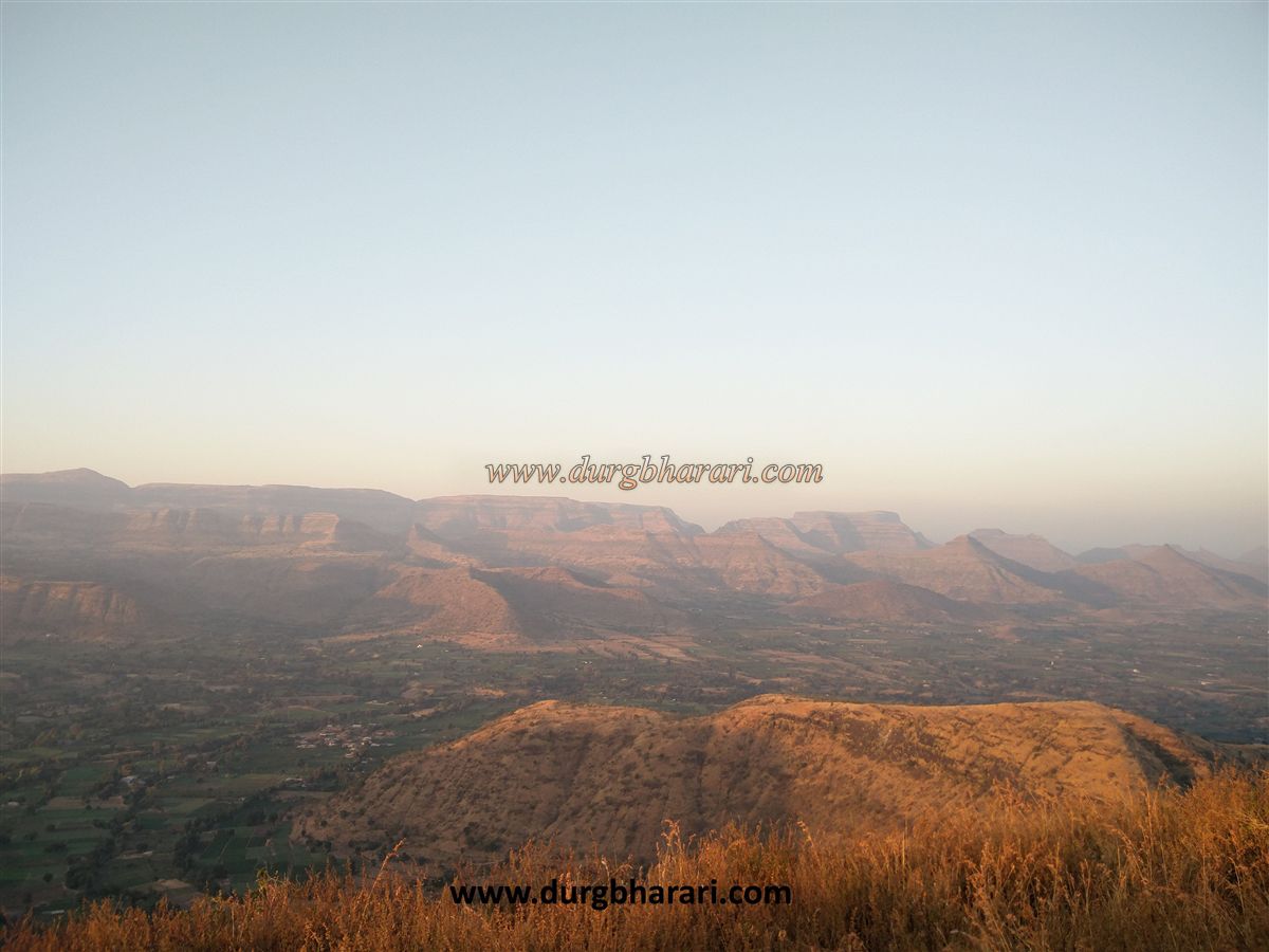
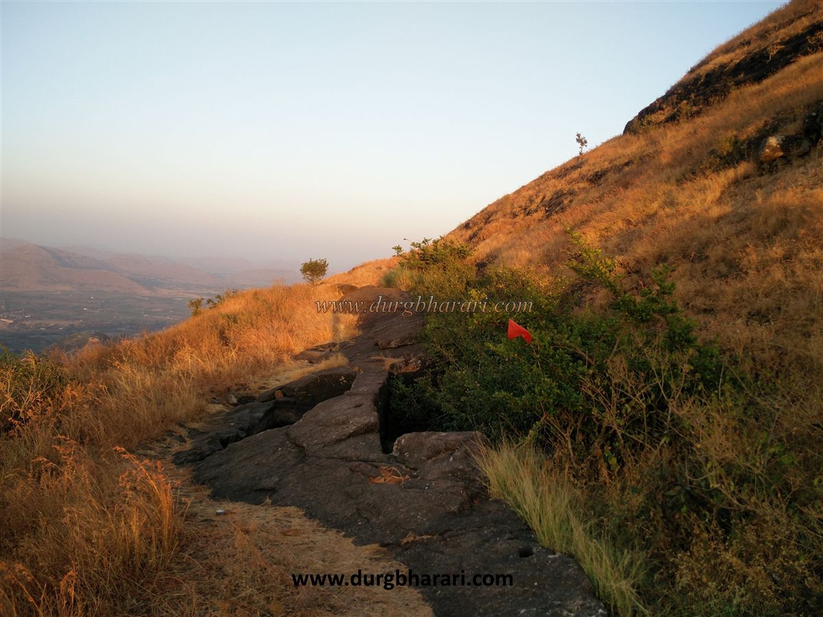
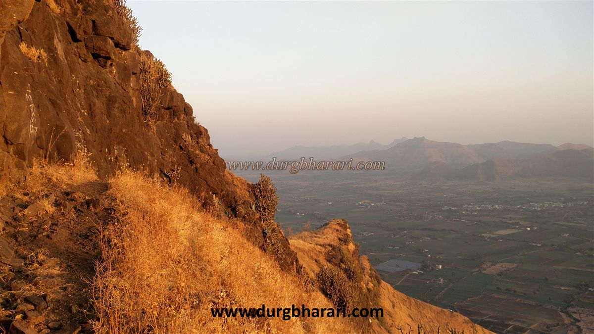
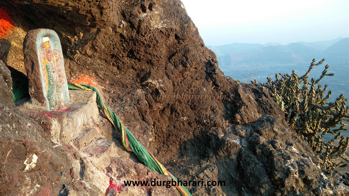
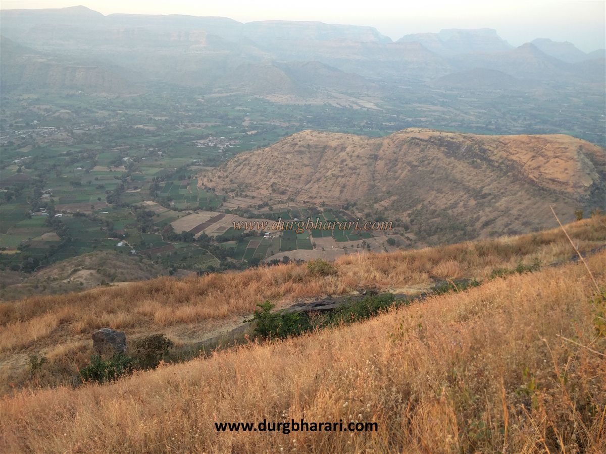
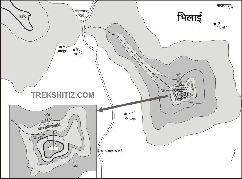
Dagdi Sakode is a village at the foot of Bhilai fort, 25 km from Satana. When you reach Dagdi Sakode from Satana-Nikvel, you come to the foot of Bhilai fort. The road from Dagdi Sakode village reaches Avalbari pass. This distance is 4 km. There is a path leading to the fort from Avalbari pass. As there is no water facility on the fort, one should take water from the village and go to the fort. If possible, take a guide with you because even though the path is clear, the cattle also use the same route and you tend to get lost and it consumes your time to reach the fort. The path to the fort starts on the hill trunk from the right side of the Avalbari pass. This path is slippery, so utmost care should be taken. This way we reach a plateau-like stage in 45 minutes. From here, the flag hoisted on the top of the hill in the front is Bhilaigad. After this rocky climb, we reach the ridge below the cone of Bhilai fort. Here there are 15-foot steep steps. After climbing this steep stage, this path seems to move upwards. There is a footpath on the right and left side of the hill. First, turn left from here. After walking for 2 minutes on the left, we reach near four water cisterns. Two of these cisterns have water in them but they are not drinkable. The other two tanks are overgrown with shrubs. After seeing these cisterns, return to the path where we took left, but this time, take the path on the right. This path on the right-hand side leads to a cave on the left and a deep ravine on the right. On the way to this cave, in some places, the mountain is covered with vermiculite, while in a small cave, there is an idol of Goddess Saptashrungi of recent times. After watching the idol of the Goddess and return to the original path, we reach the fort in ten minutes by the middle footpath, but we have to be careful as the road is very slippery. The gate of the fort does not exist today and no other remains can be seen on the fort. This is where your fort round ends. Due to the small size of the Bhilai fort, it takes fifteen minutes to see the fort but it takes two hours to reach the fort from the base. From the top, Salher, Salota, Mulher, and the entire Selbari Dolbari range, while to the south, the entire Satmal range looks amazing. Judging by the size and structure of this forts, it seems that there must have been very little fortification. As a large area can be seen from the top of the fort, they might have been used for surveillance purposes. Unfortunately, this fort is not mentioned anywhere in history and its past is still unknown.
© Suresh Nimbalkar
GALLERY