BHAVANGAD
TYPE : COASTAL FORT
DISTRICT : PALGHAR
HEIGHT : 150 FEET
GRADE : EASY
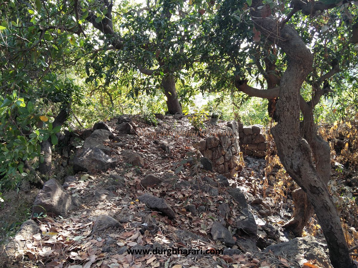
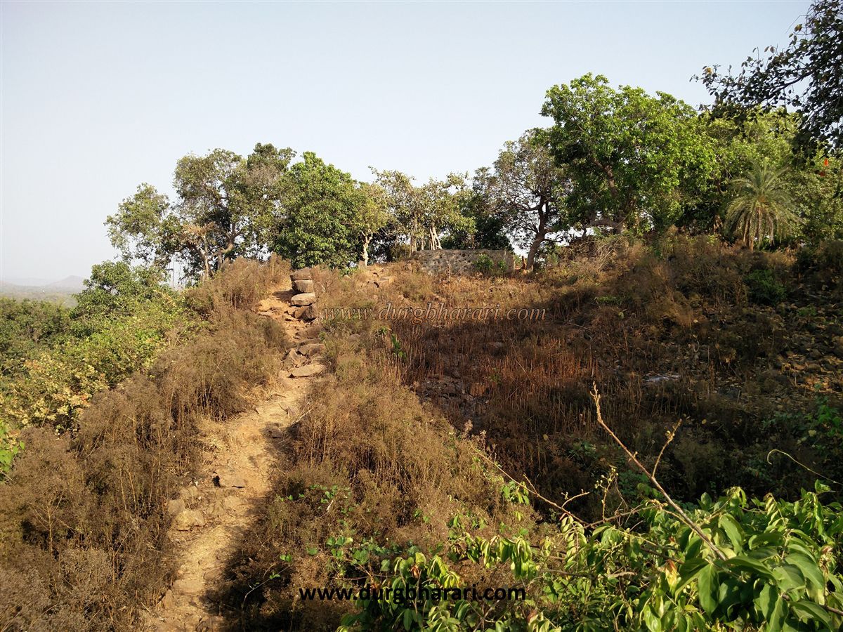
Due to Mumbai, Konkan is divided into two parts, namely North Konkan and South Konkan. South Konkan includes the coastline from Raigad to Karwar, while North Konkan includes the region from Thane-Palghar to Daman. The temples, forts, and beaches in this area, which is scenic due to the Vaitarna River and the Arabian Sea, can be easily explored in one day from Mumbai. Near Palghar and Kelve station, Kelve beach is well known. Bhavangad fort is situated on a small bushy hill 150 to 200 feet high at a distance of about 3 km from the shores of Kelve. Fruit trees like mango and cashew are planted on this hill which is under the control of the forest department. Walking on the unpaved road from the main road, you reach the broken gate on the plateau of the fort in 5 minutes. The east-facing gate is now destroyed, and the bastions on either side remain.
...
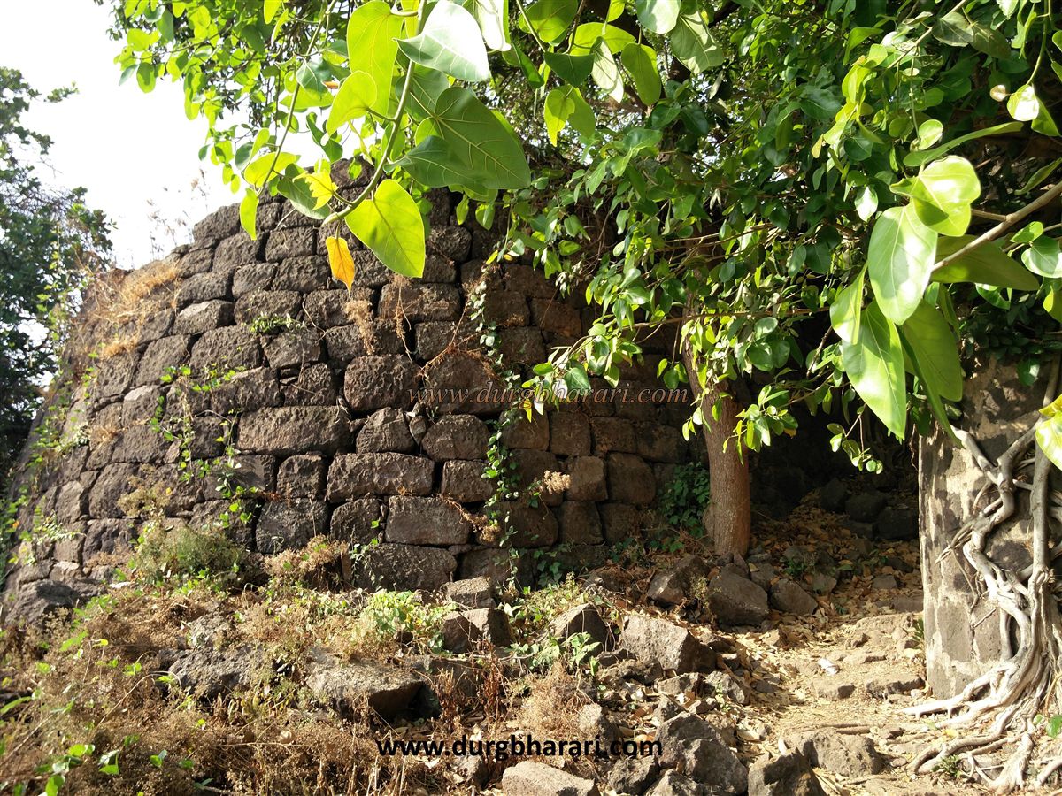
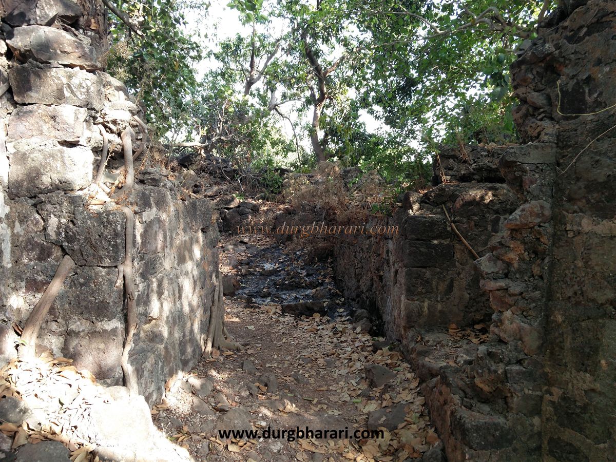
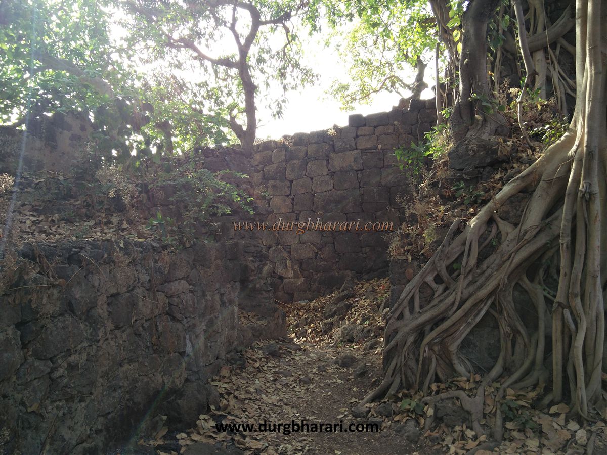
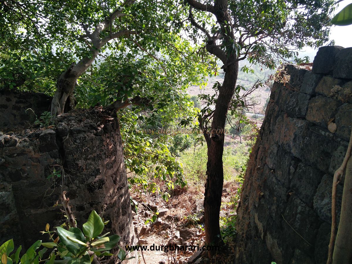
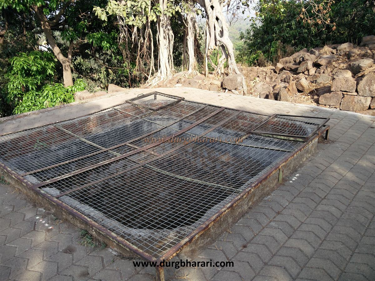
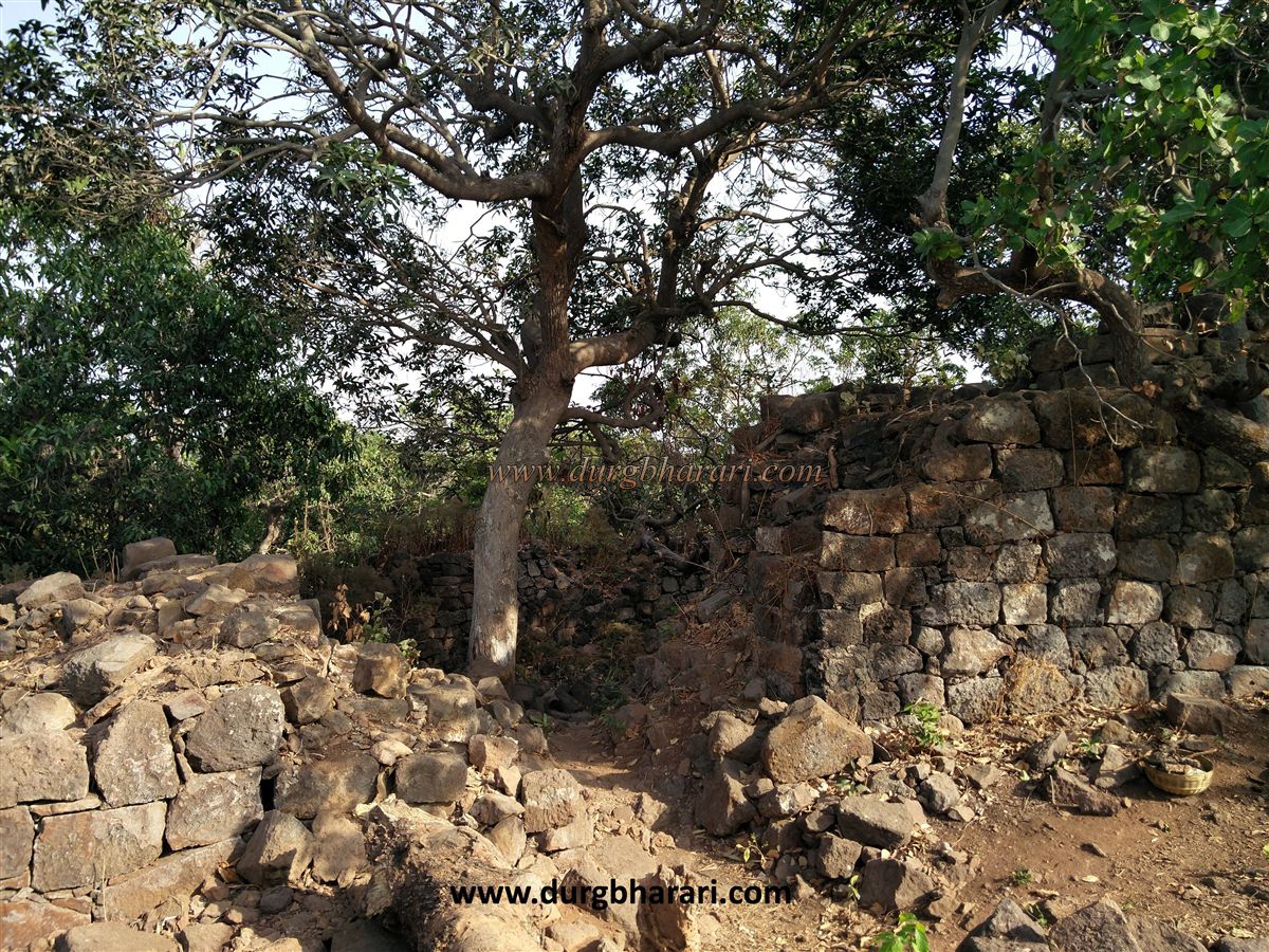
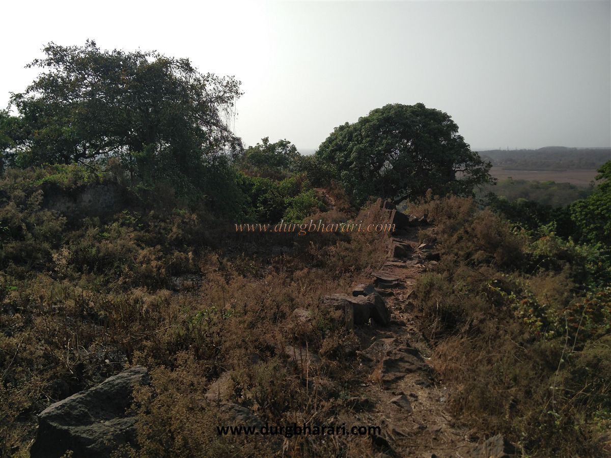
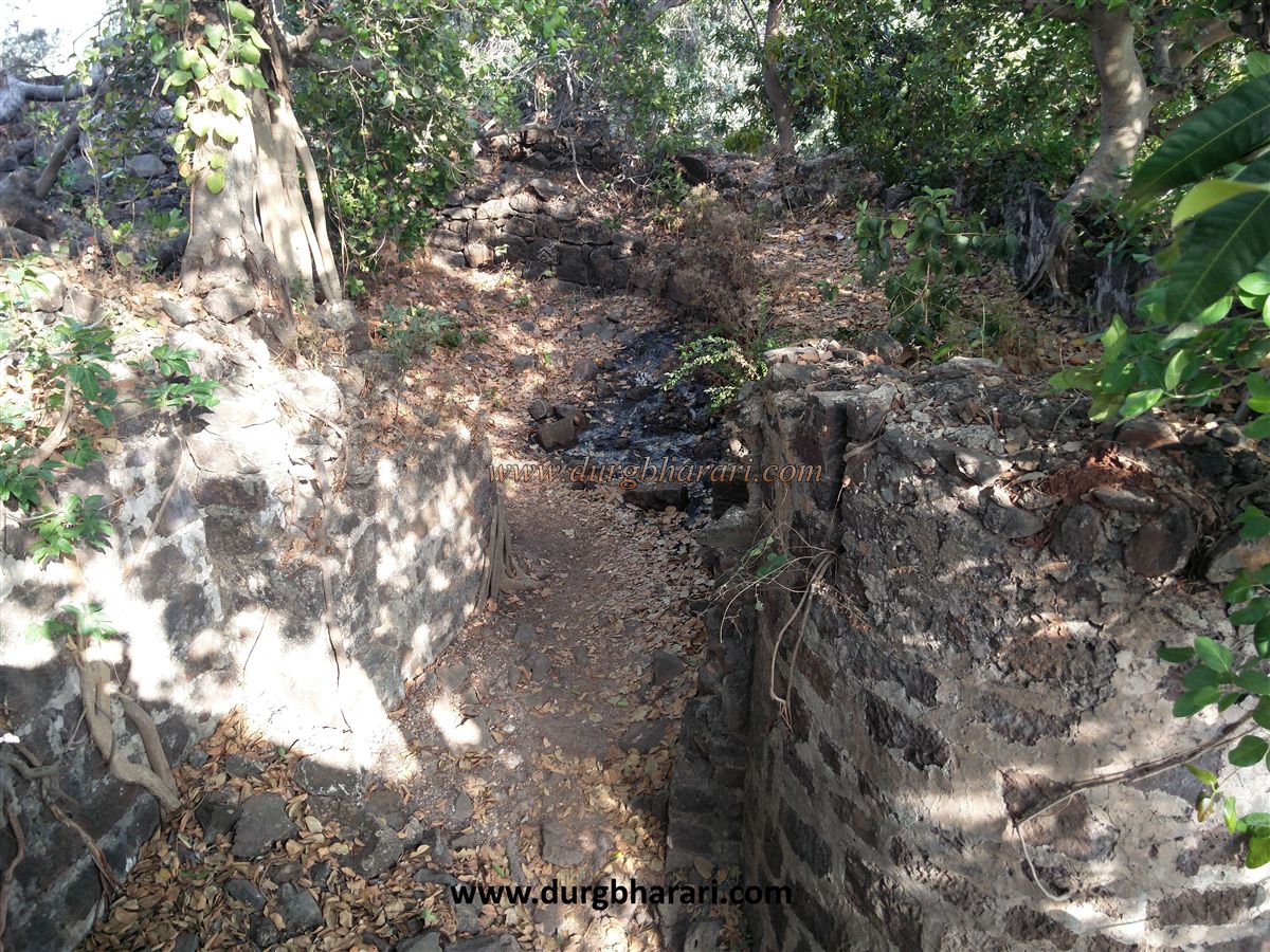
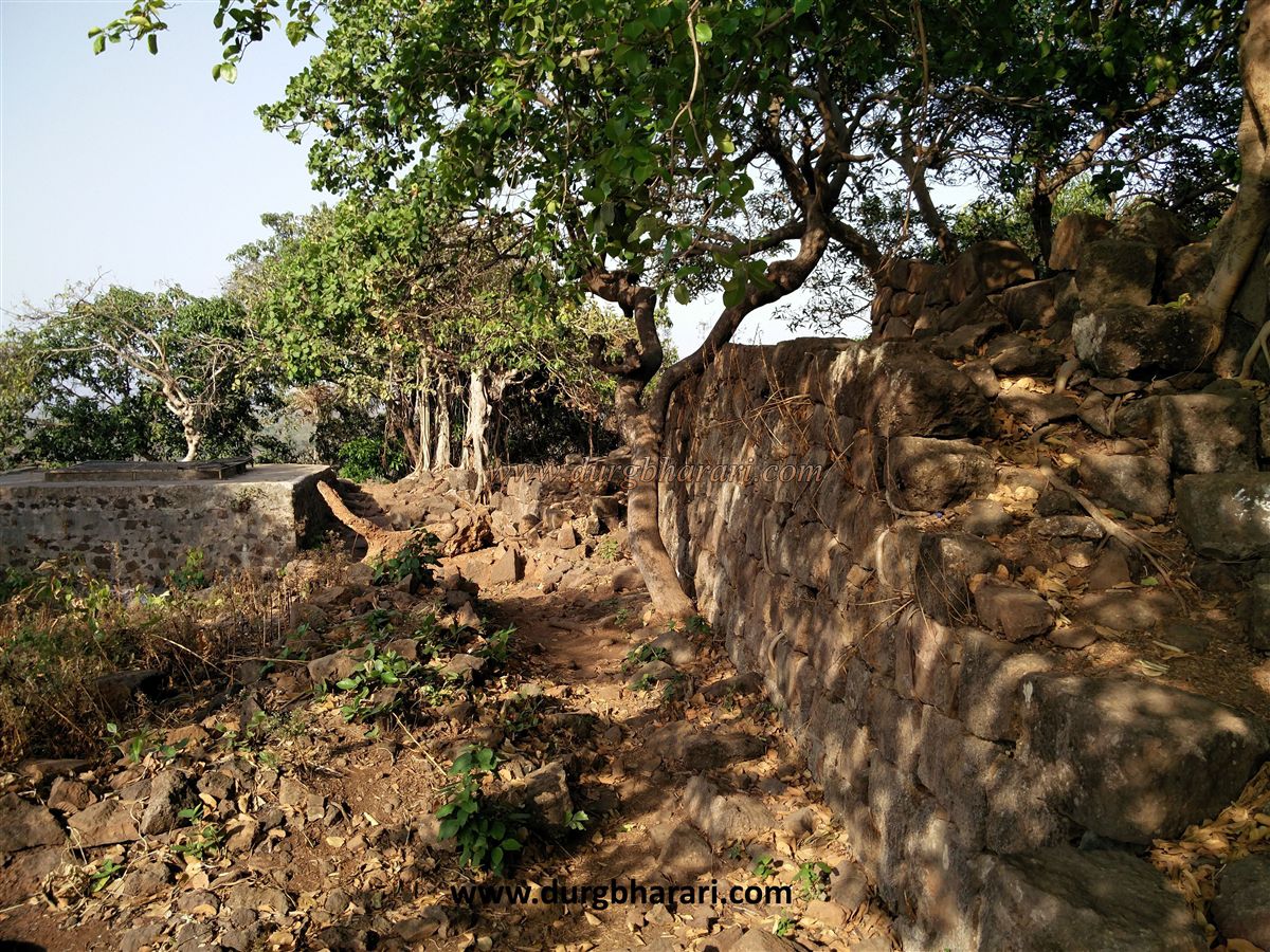
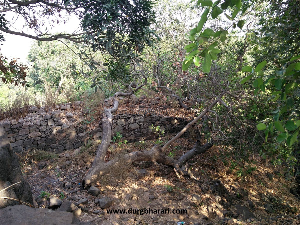
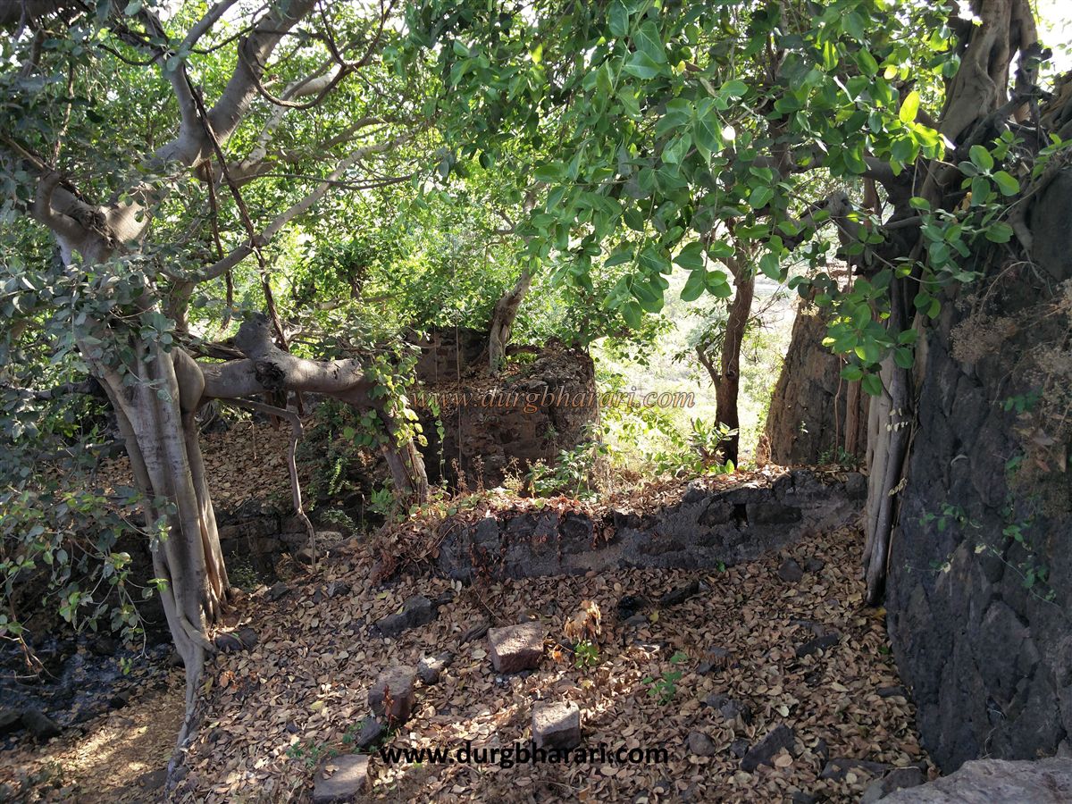
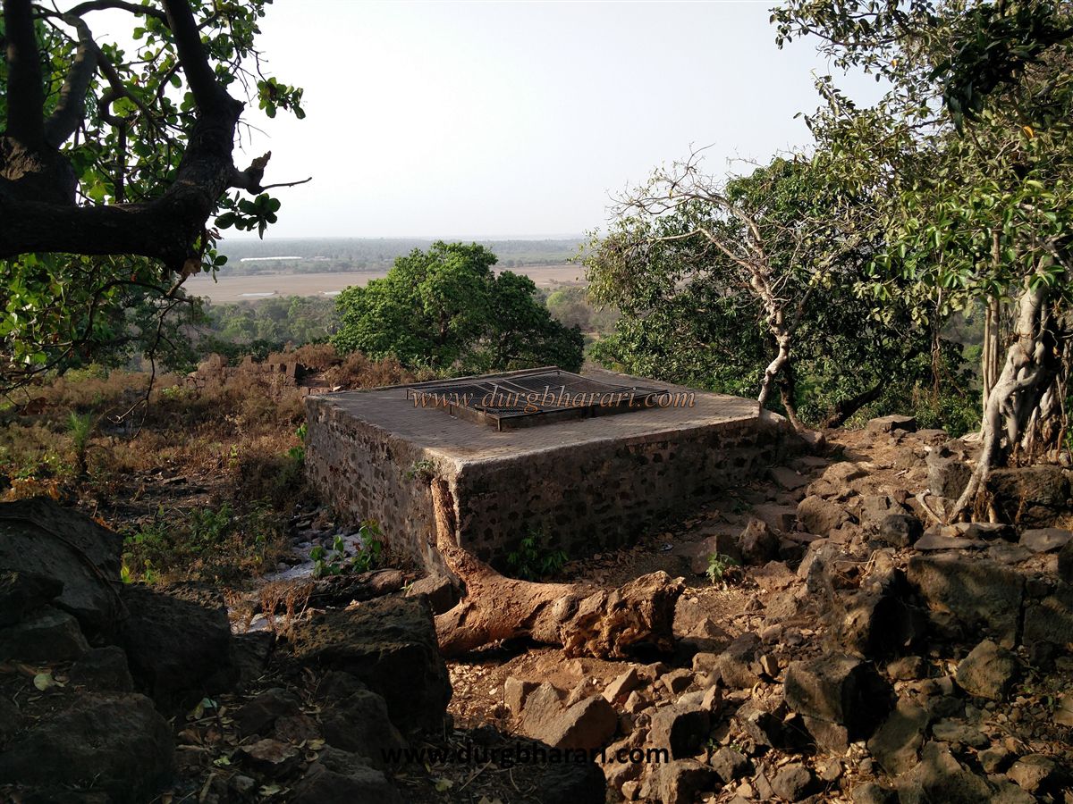
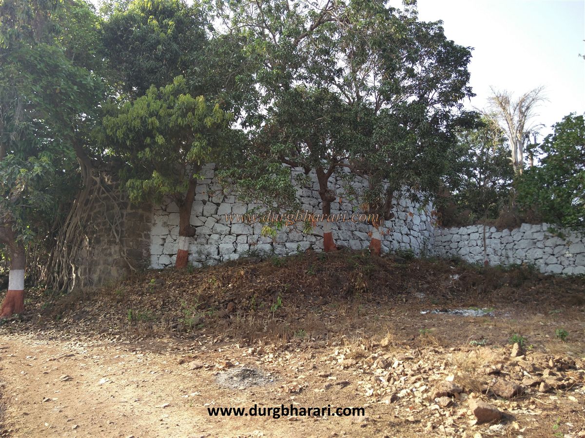
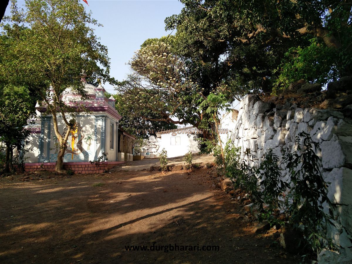
Since the fort was built during the battle, only large stones were built on top of each other without the use of lime. Upon entering through the door, on the right side of the plateau is the restored temple of Bhavangadeshwar. From here, you can see the ramparts of the plateau descending to the left, while a straight path takes you to the citadel. This north-facing door is not easily visible as it is hidden between two bastions on a turn. Although the arch of the gate was destroyed, the adjoining bastions and surrounding structures still bear witness to its existence. Lime has been used in some places in the construction of this part of the door. After entering the door, on the right-hand side, there are some guard porches. There are square-shaped water tanks carved in the rock in front of the door and the water from these tanks are used for temples and drinking water and has recently been plastered with cement. The water in this tank is drinkable. There are a large number of trees growing in the vicinity of the citadel and the roots of these trees have destroyed most of the ramparts. The entire fort is visible if you stand on the ramparts near the tank. No other remains can be seen on the fort. If you walk straight through these ramparts, a descending path is seen. After descending some distance along this path, you can see a cave carved in the rock on the left side. There is another hall carved inside this cave. This path leads down to Dandpada. After seeing the cave and returning to the ramparts, your fort round is complete. The entire fort is spread over an area of about one acre and you can see eight small bastions in the ramparts of the fort. When the Portuguese built Vasai fort in 1526 AD, they built a chain of forts in Shirgaon, Mahim, and Kelve areas to dominate the region. This region of Palghar was under Portuguese rule from 1534 to 1737. The Portuguese used to persecute the local people. After the complaints of this oppression reached the Marathas, in 1737, the Vasai campaign was decided under the leadership of Chimajiappa. Big Sardars like Gangaji Naik, Shankaraji Phadke, and Baji Rethrekar joined this campaign. According to the records of the Peshwa's office, during the Vasai campaign, at the beginning of July 1737, two thousand Marathas started the construction of Bhavangad at a distance of one and a half miles from Kelva. This fort played an important role during the Vasai campaign. This is the only hill on the Mahim Kelve, Datiware transport route. As Danda creek and its environs are visible from here, forts such as Bhavangad and Dharavi were constructed to block the supply of Portuguese from Edwan, Kore, Mathane, and Usrani. After the Vasai campaign, this part came under the control of Marathas. In 1818, it was taken over by the British. Shiva Temple which is presently located on Bhavangad was built in 1917 and a big procession is held on the fort every year on the occasion of Mahashivaratri.
© Suresh Nimbalkar
GALLERY