bhairavgad-NARDAVE
TYPE : HILL FORT
DISTRICT : SINDHUDURG
HEIGHT : 2160 FEET
GRADE : MEDIUM
Bhairav is a popular form of God Shiv. This deity, which is popular among the common people, is worshiped not only by building temples but also by naming many hills and forts by their name, and this is why we find not one but six forts in Maharashtra called Bhairavgad. Two of these forts are in Konkan, two forts in the Desh, one in Marathwada, and one in North Konkan. The most unfamiliar and remote of these is Bhairavgad at Nardave in Kankavli taluka. Looking at the dense forest around this fort, it is not only a hill fort but also a forest fort. Nardave is known as Bhairavgad of Nardave because of a large village of “Nardave” near the fort, the only access to the fort is from Digwale Ranjanwadi and Nardave Bherdewadi. As there is not much S.T. bus facility from Kankavali bus stand to Digwale Ranjanwadi, it is more convenient to go to the fort from Nardave Bherdewadi.
...
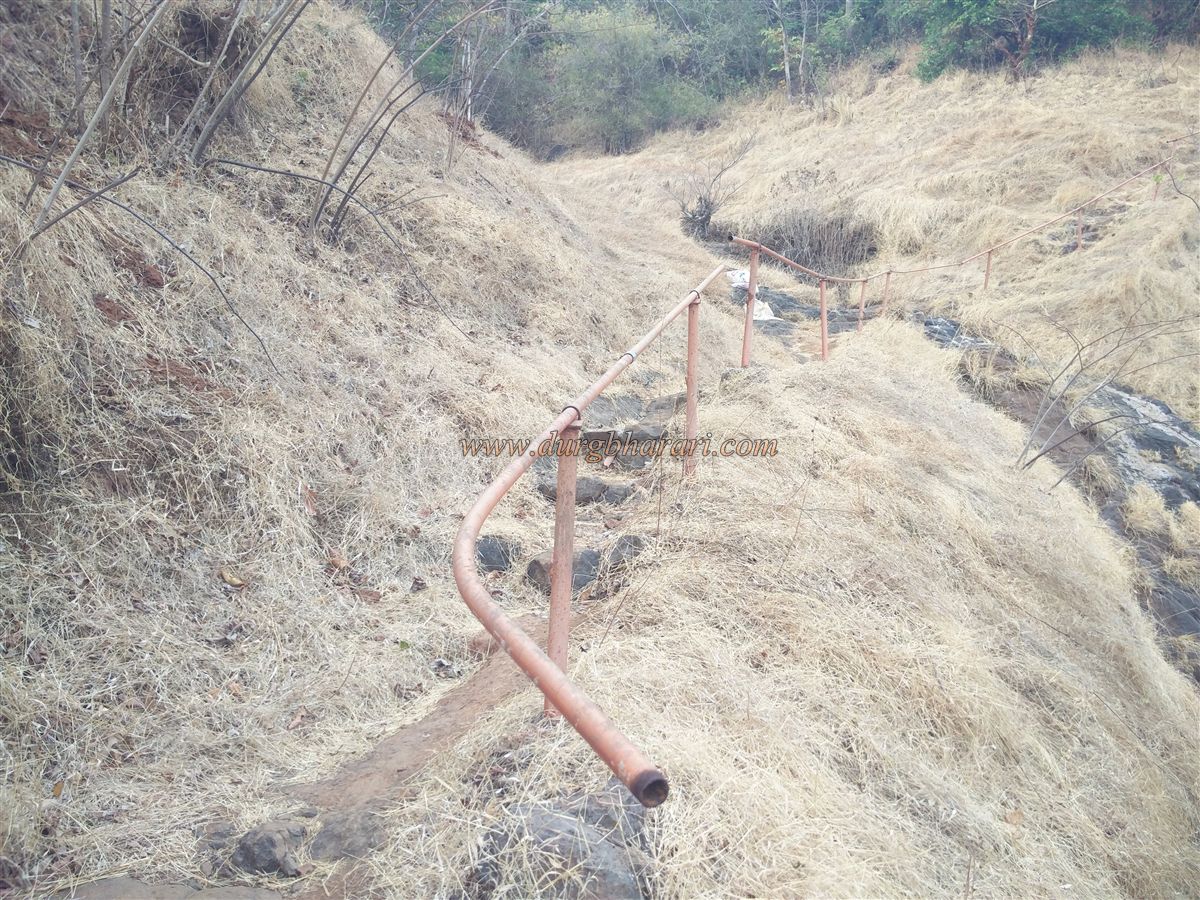
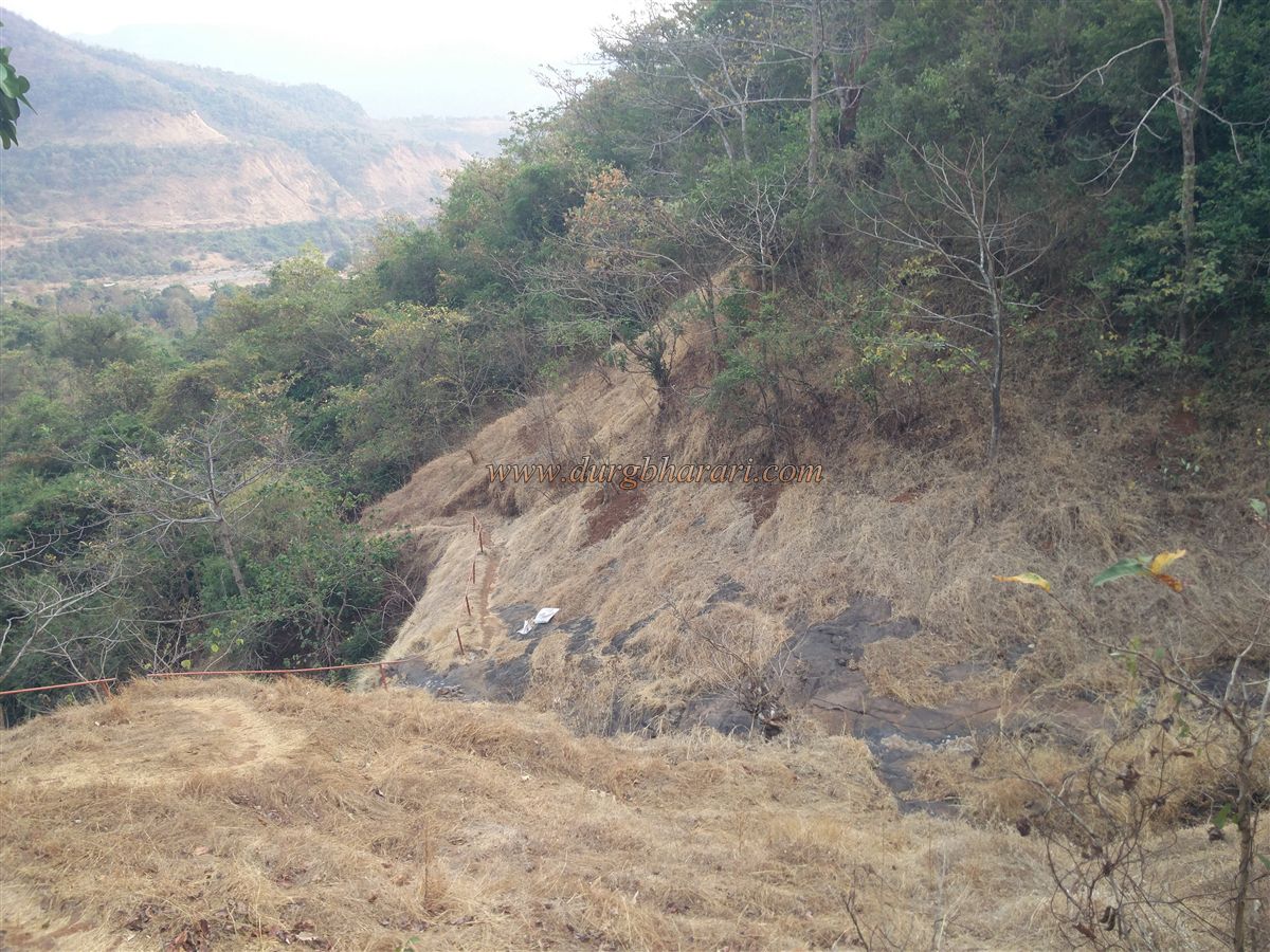
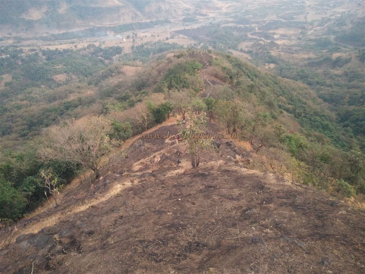
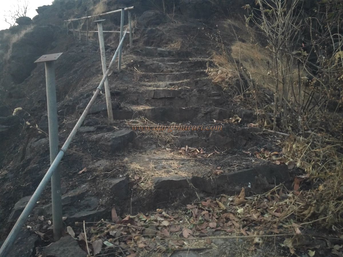
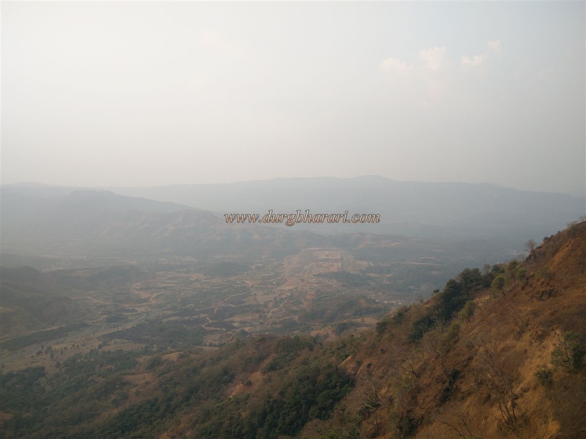
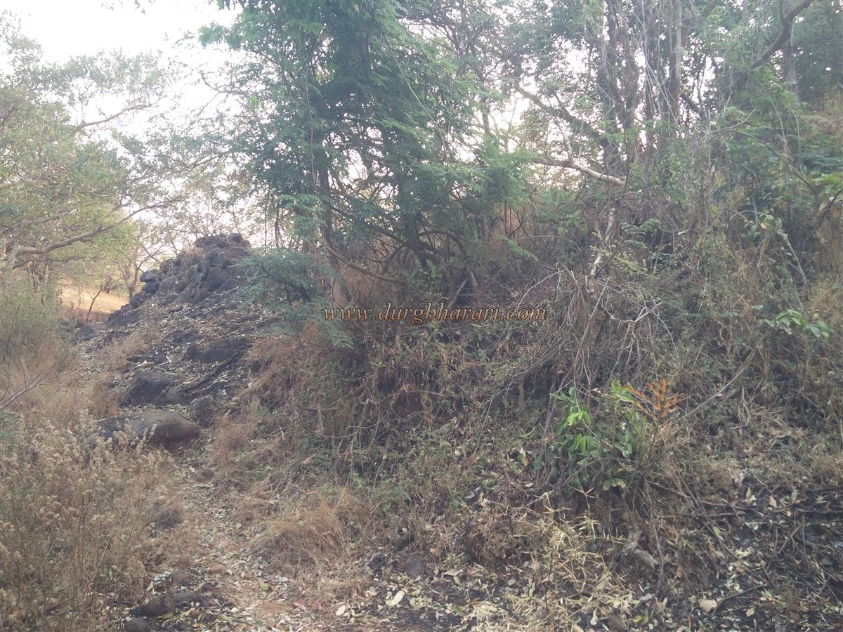
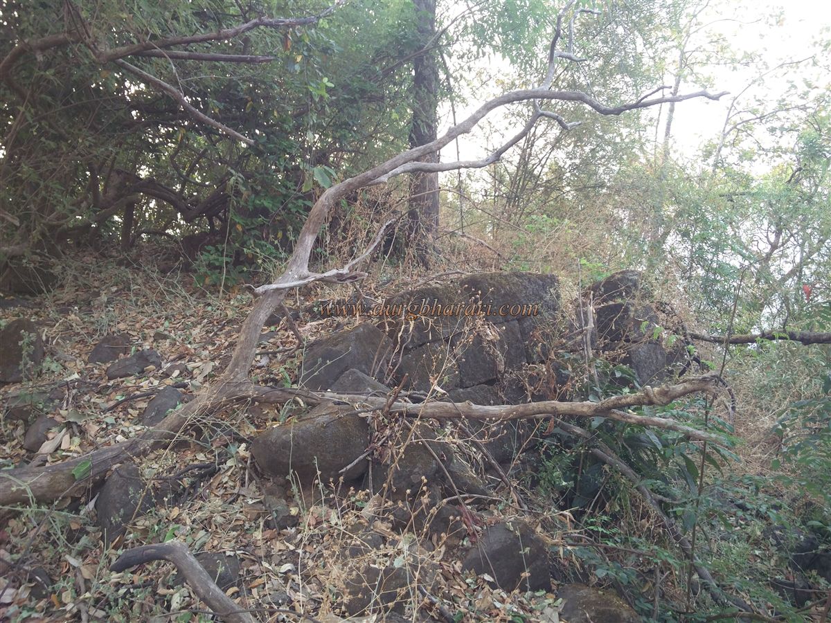
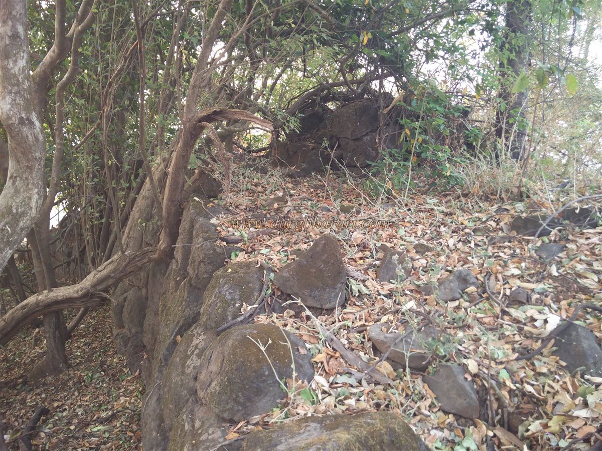
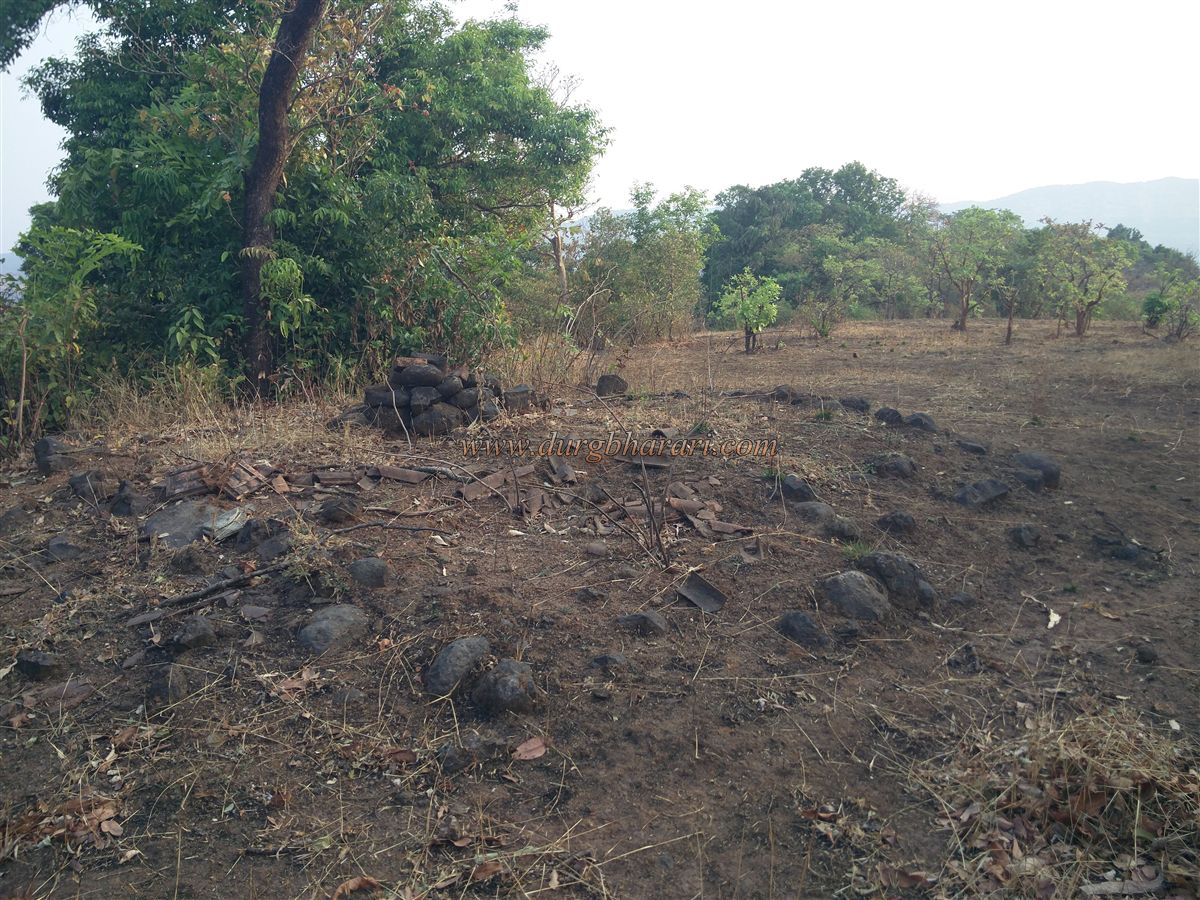
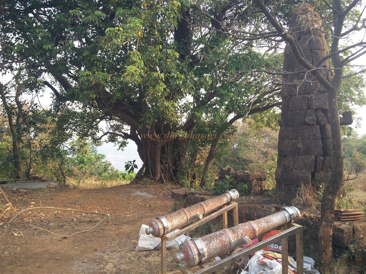
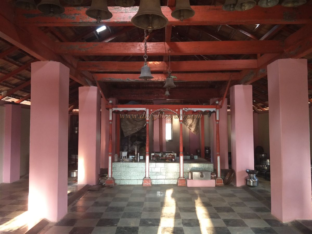
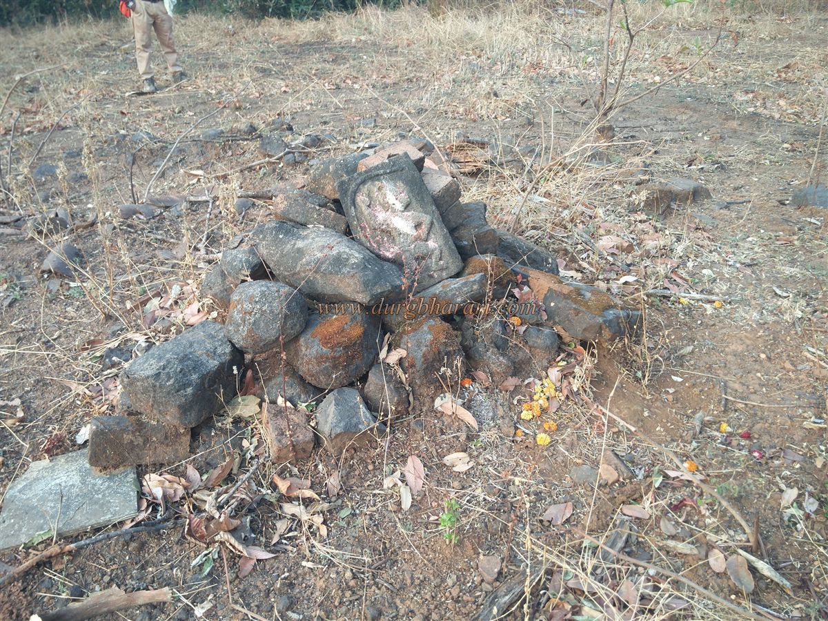
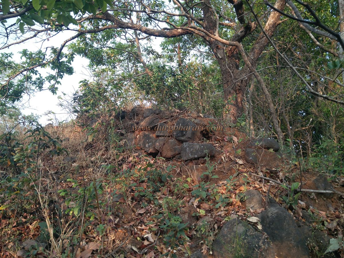
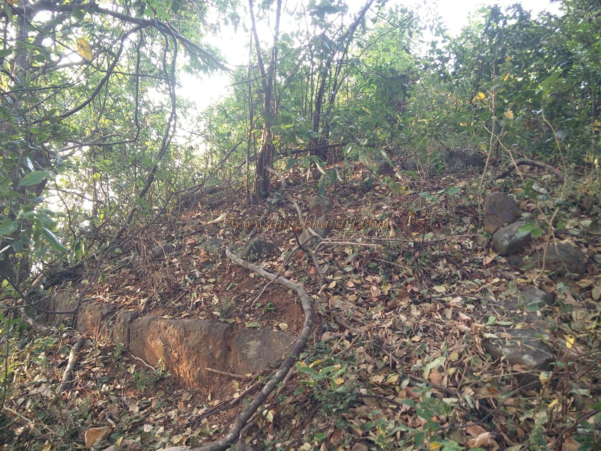
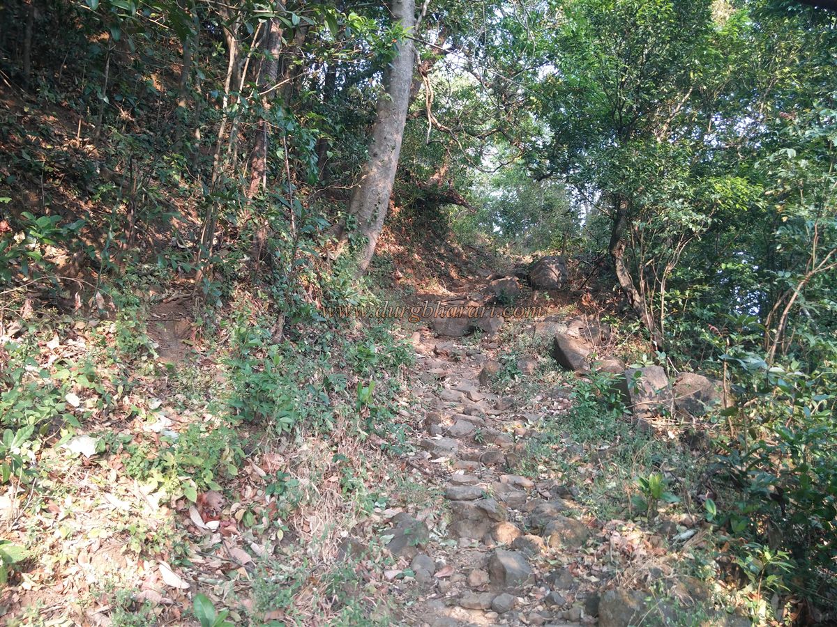
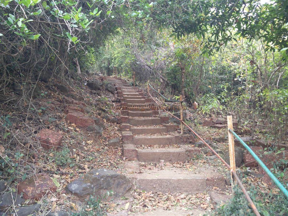
The distance from Kankavali to Nardave is 26 km and Bherdewadi is at a distance of 3 km from there. Before entering the village of Bherdewadi, a footpath leads to the hill of the fort on the left side of the main road. The villagers are constantly coming and going to the Bhairavnath temple on the fort, so the path is visible and there is no possibility of getting lost anywhere. The whole road is forested except for the trunk of the fort. As water is not easily found on the fort, you should start the climb with enough water. In about an hour from the base, we reach the trunk of the fort. The iron railing has been built in some places along this road. It takes 20 minutes to reach the Machi of the fort from the trunk but this climb is very tiring. At the end of the road, stone steps are built and iron fences are erected for safety. There should be a check post on the ground in front of the fort. The entire character of Songad and Gad rivers can be seen from Machi. The hill of the fort is situated at an altitude of 2160 feet above sea level and extends from south to north. The fort area should be spread over 6-7 acres. After walking for five minutes from Machi, we reach the ruined ramparts of the fort. A moat has been dug outside the fort to separate the fort from Machi and stones of the ramparts have collapsed into this moat. There is a bastion in this rampart. There should be a gate to the fort at this place but no remnants of it can be seen at present. Going further from here, the remains of a quadrangle structure can be seen on the hill on the left side of the road. On the front part of the quadrangle, the structure is the remains of some houses on the plains. From here we reach the temple of Bhairavnath which is the main structure of the fort. The newly built temple has been retained on the foundation of the old temple and it has a four-sided roof. The temple has a wooden sanctum sanctorum with three idols of deities. Outside the temple, on a quadrangle structure, there are a 12 feet high Deepmal and 2 cannons of 4 feet length are placed on a steel cart. There are a stone Vrindavan and some carved remains on the quadrangle structure of the Deepmal. The temple has a large number of utensils for dining and it is a beautiful place to stay at the fort. Water supply, however, is a bit of a problem. There are water cisterns on the way down to the back of the temple and this cistern holds water till March. Apart from this, there is a year-round spring called Waghiniche Pani on the way to Ranjanwadi but we could not find it. We start our next fort round by visiting Bhairavnath. There is a ruined quadrangle structure in front of the Deepmal and there is a small idol of Hanuman on this structure. This idol must be of recent times. As you walk along the path to the temple, you will see large quadrangle structures and some ruined structures on the left. This place should either have a fort keeper’s mansion or the courtyard of the fort. From here, after seeing 2-3 ruined quadrangle structures on the way, we reach the ruined fortifications on the north side of the fort. There is a big bastion with big trees growing on it. In this place, the signs of having a door previously are noticeable. The path from here takes a detour to the ramparts and descends into the lower trunk. It is located in the foothills of the Sahyadri. This is where your one-hour fort round ends. If you turn back from here and go to the left, the descending path takes you to Digwale Ranjanwadi in an hour. 100-150 cement steps are built at the bottom of this road. four S.T. buses come to Ranjanwadi every day otherwise you can take a private rickshaw to Kanedi village and from there you can reach Kankavali. The fort is not mentioned during Shivaji Maharaj’s period but it must have existed in the past for observing the Nardave and Ghotge Ghat in the area. The fort is said to have been built by Fond Sawant (1709-38) but it has no documents to provide this. In the constant quarrels between Karveerkar and Sawantwadikar, Sawant always harassed Bhairavgad and Songad forts, but in April 1782, when the siege of Rangna was lifted, Sawant promised that he would never harass the fort. In 1822, the emolument for the forts of Songad and Bhairavgad was paid by the British government in favor of Karveerkar. In 1842, Abaji was appointed as the Sabnis and Munjaji Jadhav as the fort keeper for bhairavgad. There is no record of the fort in the later period. In the survey of 1862, it is recorded in the British documents that all the remains of this fort were destroyed, which means that during the uprising of the fort keeper of Karveer in 1844, the British may have demolished this fort.
© Suresh Nimbalkar
GALLERY