BHAGWANTGAD
TYPE : COASTAL FORT
DISTRICT : SINDHUDURG
HEIGHT : 180 FEET
GRADE : EASY
The river Gad originates near Bhairavgad in the Sahyadri range known as Kalaval creek meets the Arabian Sea. Many forts are built starting from the origin of the river till its confluence with the Arabian Sea. Bhairavgad and Songad are situated near the origin, then Ramgad, Bharatgad, and Bhagwantgad fort on both the banks and Sarjekot at the confluence. Except for Sindhudurg Fort, all other forts in the area are least visited by people. Bharatgad and Bhagwantgad fort is situated on a small hill on both the banks of the river Kalavl. This picturesque area, which is endowed with an abundance of nature, is worth seeing in your Konkan exploration. The Archaeological Department is currently working on Bharatgad and it is being repaired but Bhagwantgad has been completely handed over to nature.
...
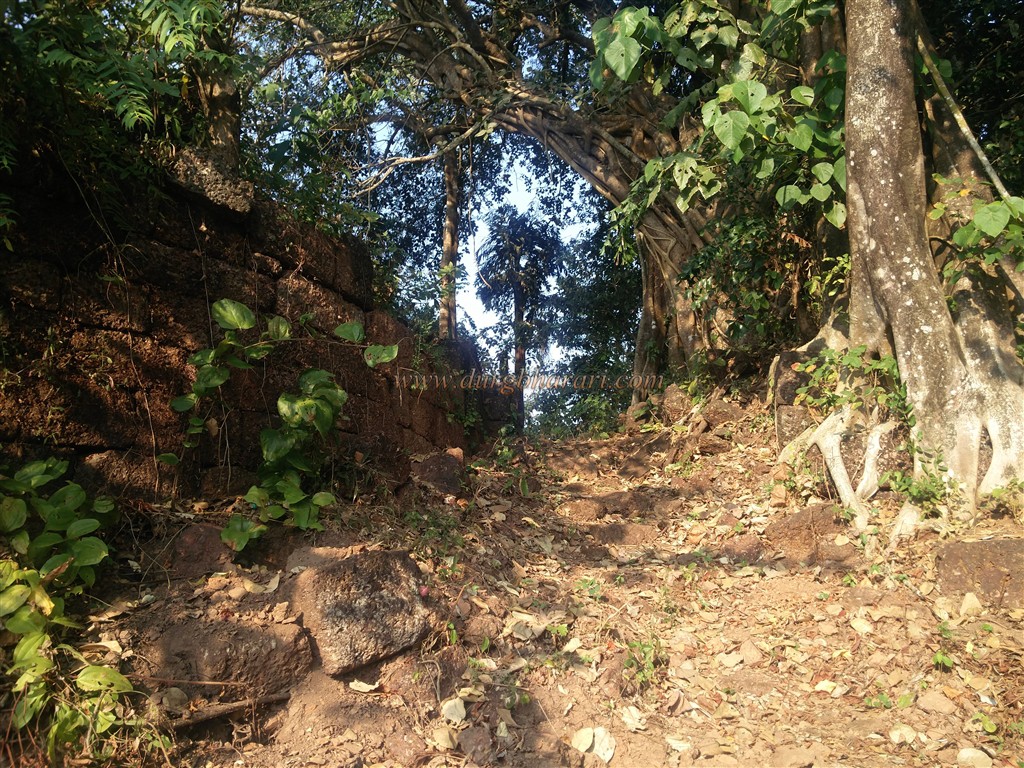
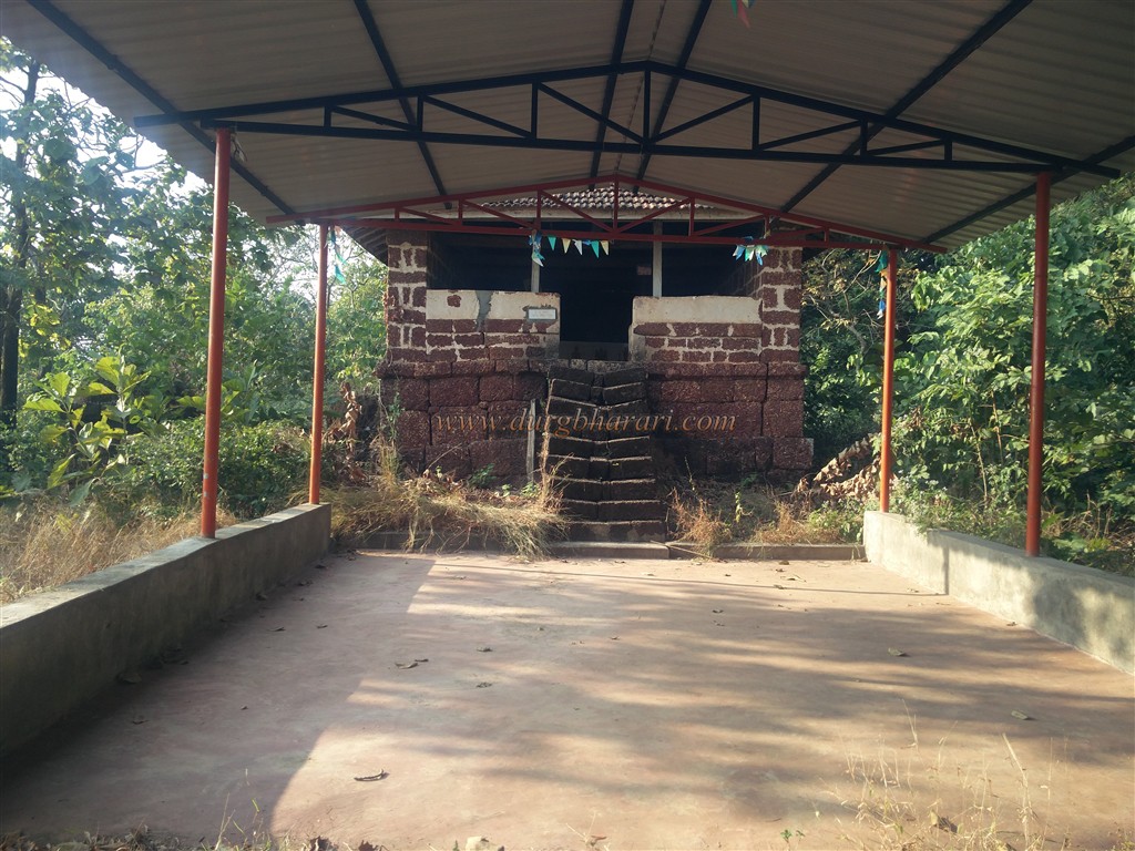
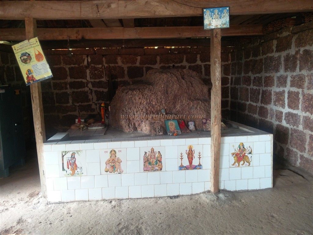
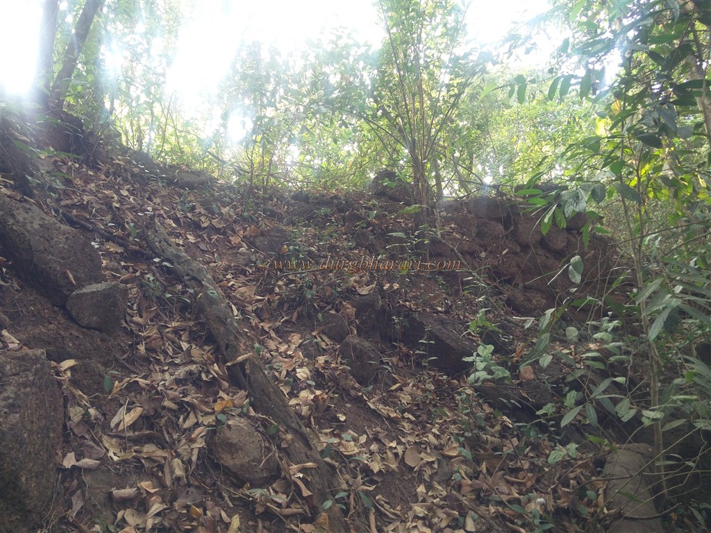
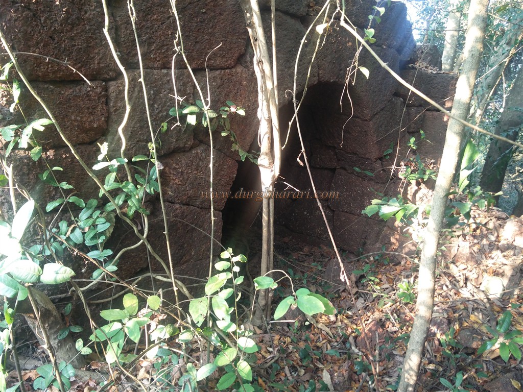
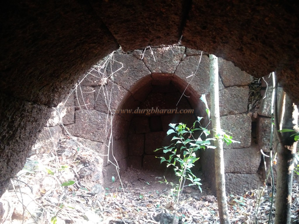
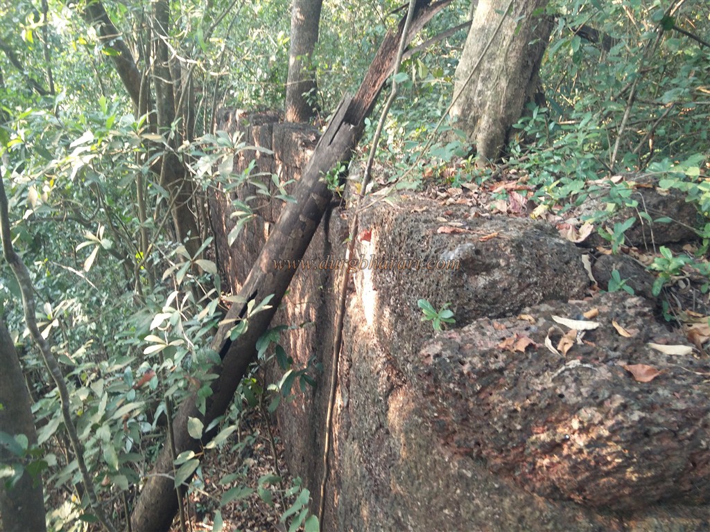
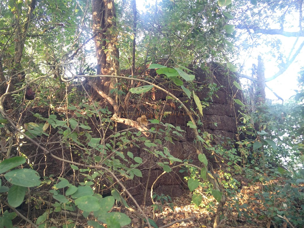
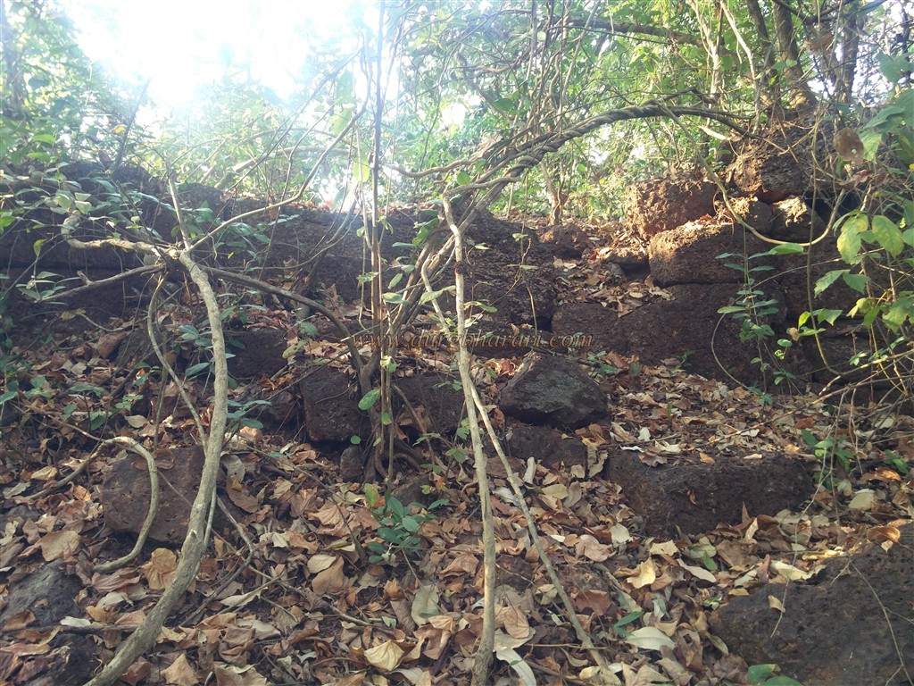
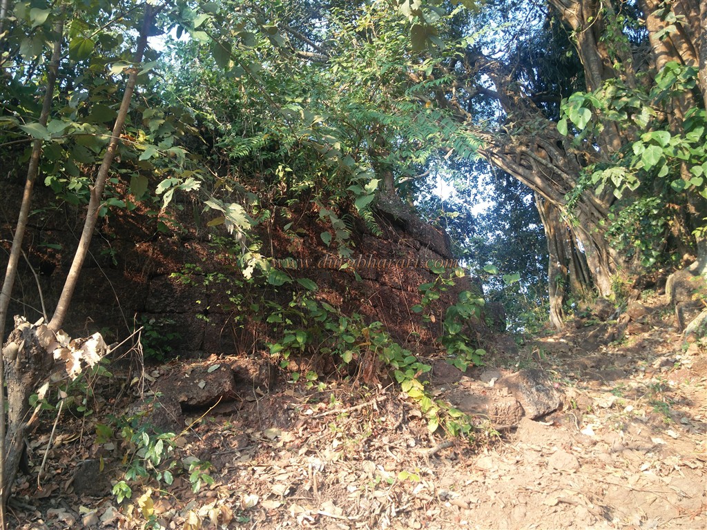
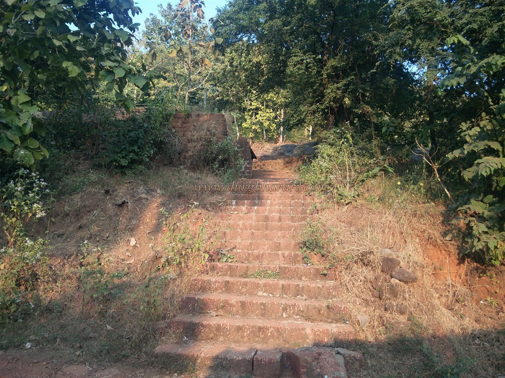
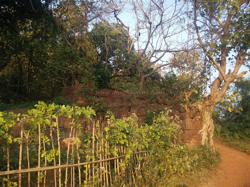
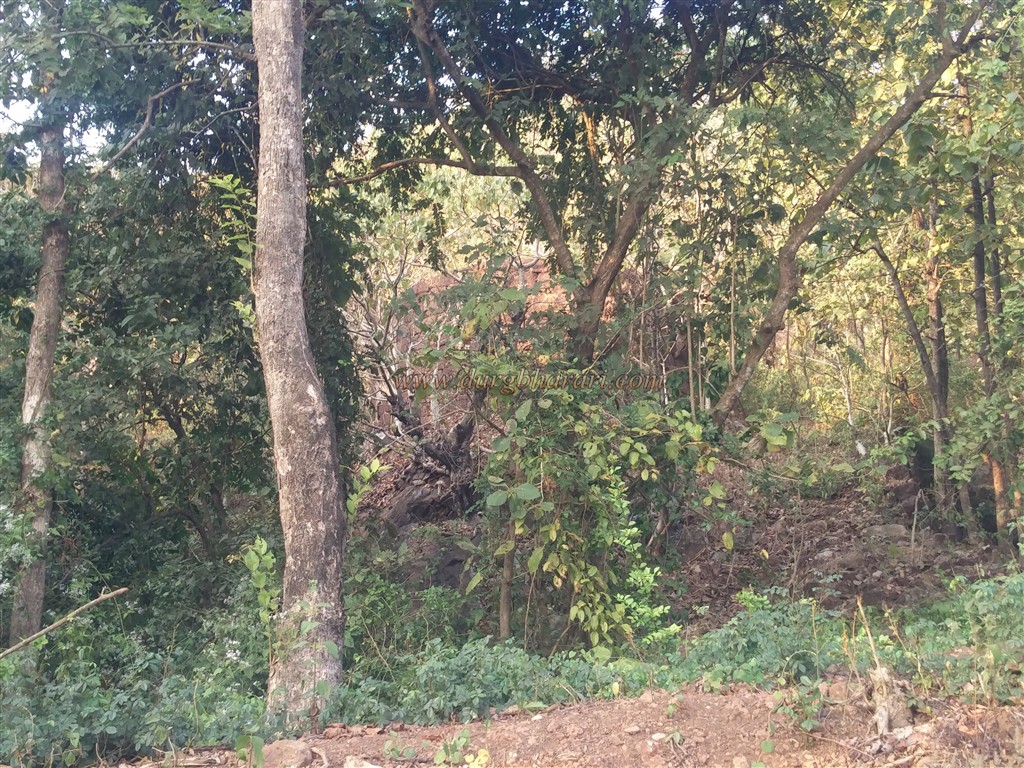
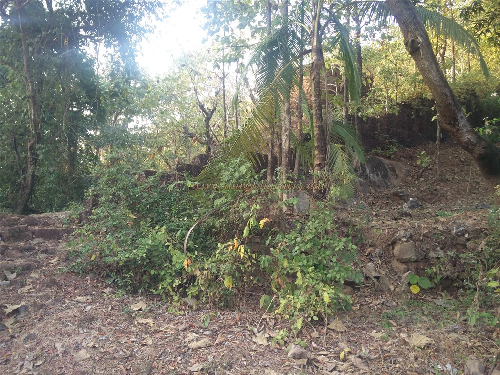
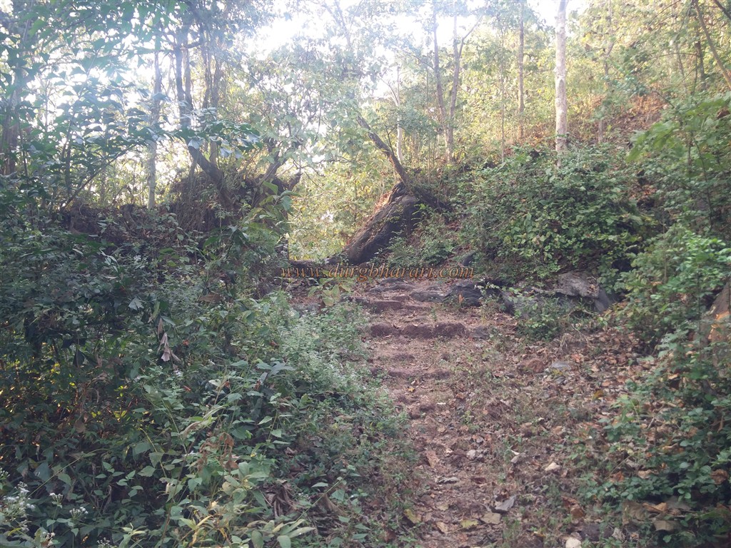
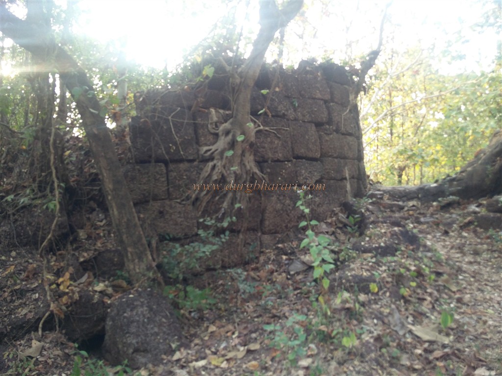
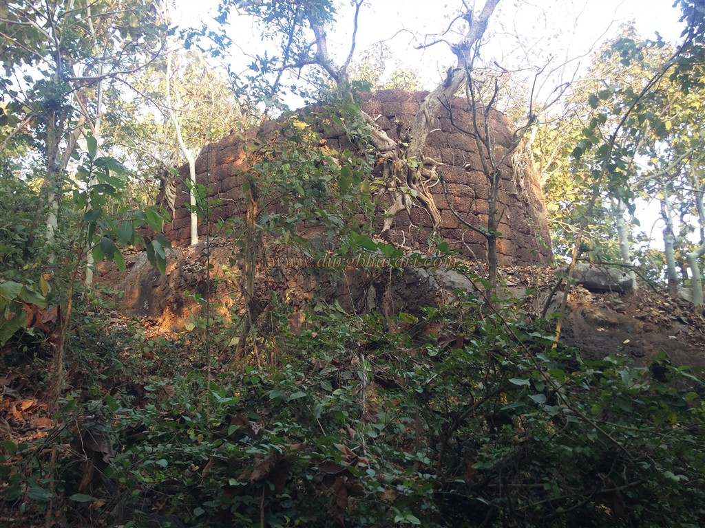
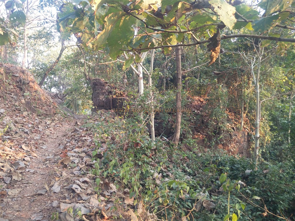
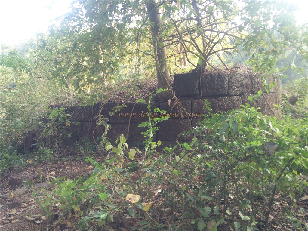
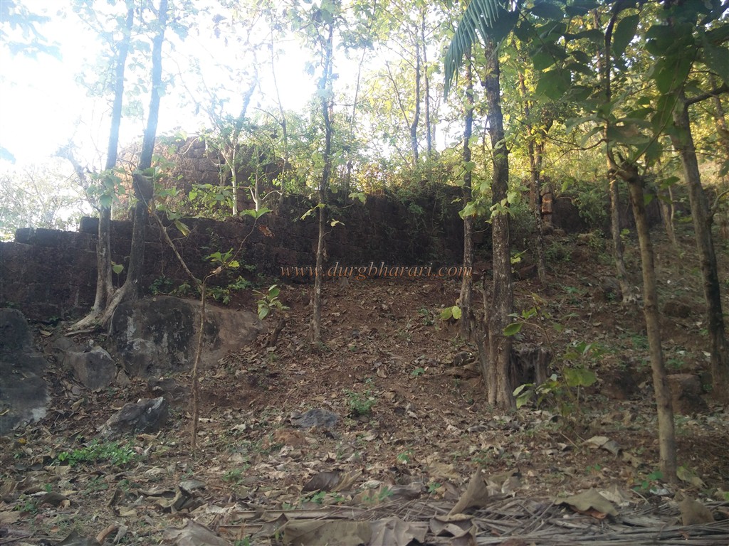
Achara Masure is the nearest village to Bhagwantgad in Malvan taluka of Sindhudurg district. Malvan is the nearest town to Bhagwantgad. The city of Malvan is at a distance of 460 km from Mumbai and the villages of Achra-Masure are at a distance of 20 km from Malvan. 5 km from Achra-masure is Bhagwantgadwadi, a village at the foothills of the fort Bhagwantgad. Most of the forts along the Konkan creek have the same structure, the main fort on the hill, and the ramparts leading directly to the creek. This structure can be seen in Gopalgad, Jaygad, Vijaygad, Yashwantgad, Ramgad, Devgad forts. Some forts like Purnagad and Ambolgad are exceptions. Bhagwantgad fort is similarly divided into two parts and it composes of a citadel on the hill and a fort on the creek. The path behind the school in Bhagwantgad village takes you to the fort in 10 minutes. On the left side of this path, you can see the ramparts hidden in the trees. The west-facing gate of the fort on this road has been destroyed and the adjoining bastion and ramparts are left up to some extent. This is not the main entrance to the fort. The only building left on the fort is the temple of Bhagwanteshwar on a high quadrangle structure with a tiled roof. The temple is built on a 6 feet high quadrangle structure built of stone. On the left side of the temple is an 8 feet high Tulsi Vrindavan built of wrought stone. This should probably be a Samadhi. Adjacent to this Samadhi is another small quadrangle structure. A new tin shade has been built in front of the temple. The fort is overgrown with thorny bushes. Due to these bushes and trees on the fort, the remains of the fort are not visible. All these remains have to be searched through the bushes. Behind the temple, after walking through these bushes, there is an east-facing gate of the fort on the right side. The door frame and the porch on both sides are still there, but the arch has been destroyed. When you go out of the door and walk a short distance, you can see both the bastions next to the door. This is the main gate of the fort. The ramparts of the fort are still in good condition. The highest point on the fort is the north end of the fort. The fort is 192 feet above sea level. A large 15 feet diameter bastion is built at this end and the height of this bastion is more than 25 feet. The bastion has barrage to fire cannons. From this bastion, a distant area is visible, but today, due to the increased forest, it is difficult to see through. If you walk through the bushes, you will see some quadrangle structures. If you want to see the surrounding area from the fort, you have to go behind the Banyan tree in front of the temple. It offers a panoramic view of Kalaval Bay and Bharatgad. The total area of the fort is about 3.5 acres and the head of the fort is spread over one and a half acres and the part on the creek is spread over 2 acres. After walking around the fort, come back to the school and take a straight road to the creek. At some distance, the dirt road begins. This road leads to the creek. After passing this path, you can see two bastions of the fort on the bank of the creek. The ramparts of Bhagwantgad are descending from the hill to this bastion. The first gate of the fort currently does not exist, while the second fortified gate adjoining the bastion remains. The ramparts have eight bastions and a well in the middle. Water must have been supplied to the fort from this well. This is where your fort round ends. One and a half hours is enough to explore the remains at the top of the fort and walk around the creek. Since there is no mention of this part of the fort, the fort lovers complete their fort tour only by looking at the other part on the hill, but actually, their fort tour is not complete without seeing this part of the fort. If you have a private vehicle with you while traveling in Konkan and you start early in the morning, you can easily see all the four forts of Sarjekot, Bharatgad, Bhagwantgad, and Ramgad in one day. While reading the history of Sawantwadikar Sawant and Kolhapurkar Chhatrapati, the constant quarrel between them comes to mind. In 1701, Fond Sawant built Bharatgad fort in the village of Masure on the south bank of Kalaval creek. In response, the Bawdekar Prime Minister of Kolhapur built Bhagwantgad on a hill on the north bank of Kalaval Bay. Later in 1747, this fort came under the control of Sawantwadikar. After a rift between the Peshwa and Tulaji Angre, Sawant sided with the Peshwa. In 1748, Tulaji Angre made several attacks on Bhagwantgad but he could not conquer it. After Khem Sawat got annoyed by these attacks, he wrote a letter to the Peshwa informing them that Bhagwantgad has been kept under siege for 16 months and they were under debt. He also informed that the fort should be taken over by the government or demolished. Later, Bhagwantgad came under the control of Karveerkar but it is not known exactly when. Seeing that the cannons fired from Bharatgad did not affect Bhagwantgad, Colonel Imlak split the army into two, one led by Captain Gray and the other by Captain Pearson, the two detachments left for Bhagwantgad on 30 March 1818. But Marathas on fort left the fort and the fort came under the control of the British without any battle.
© Suresh Nimbalkar
GALLERY