BELAPUR
TYPE : COASTAL FORT
DISTRICT : THANE
HEIGHT : 0
GRADE : EASY
Belapur village is situated at a strategic place where Panvel creek meets Thane creek. On the north bank of the creek was an island about one and a half km long and wide. The fort of Belapur, 400 x 200 feet wide, was built on a hill 500 feet away from the creek in the 16th century by the Portuguese. The reason for buidling this fort 500 feet away from the creek was to protect the island from the possible attacks of the Marathas. The fort on the island is now connected to the mainland, creating a way to get to the fort. Similarly, a fort was built at the mouth of the river, the bastion of Belapur. Both these structures were under Belapur fort. Using all these small forts, watchtowers and long range guns, the Portuguese established their empire on the sea lanes of North Konkan. Witnessing many important events, this fort is still standing today.
...
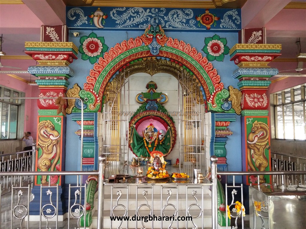
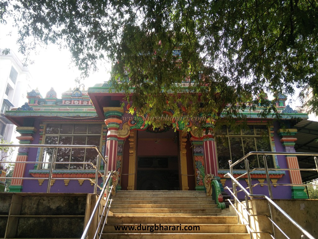
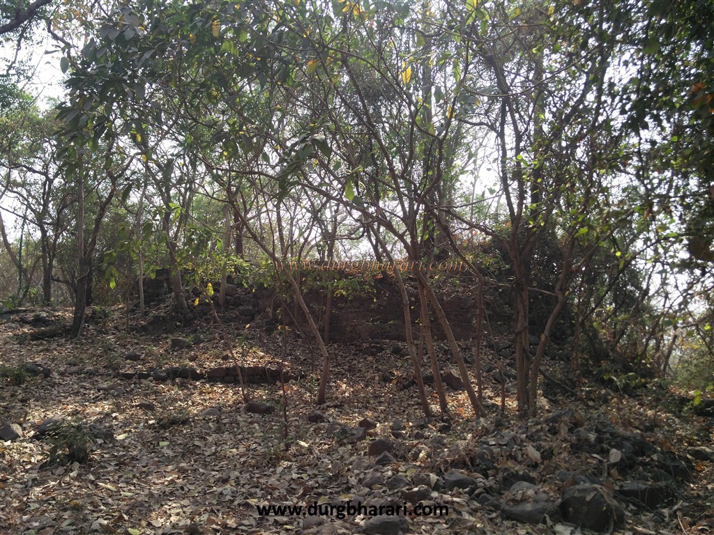
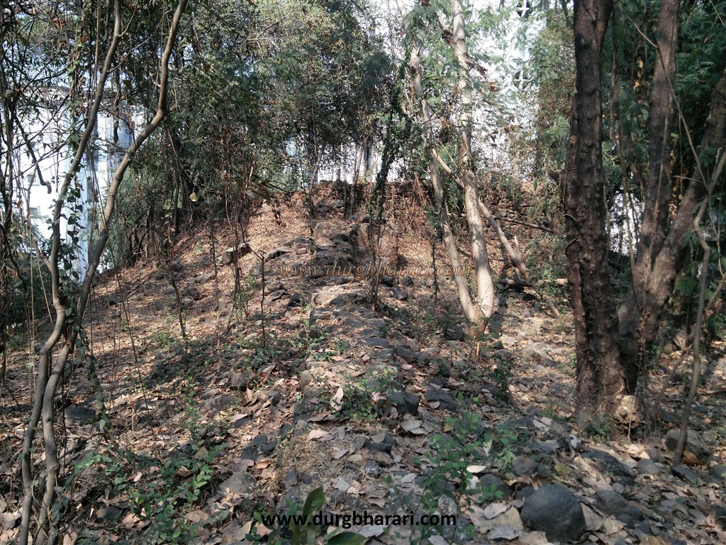
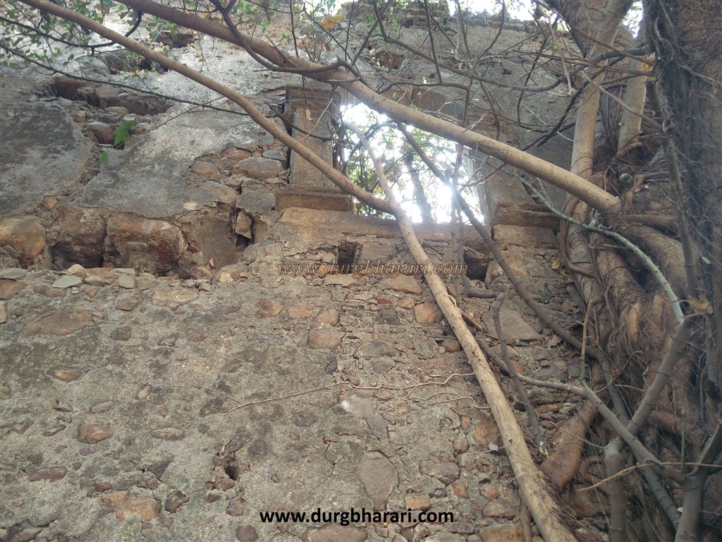
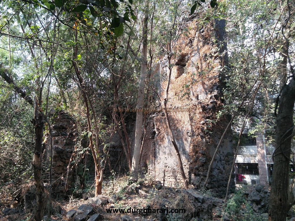
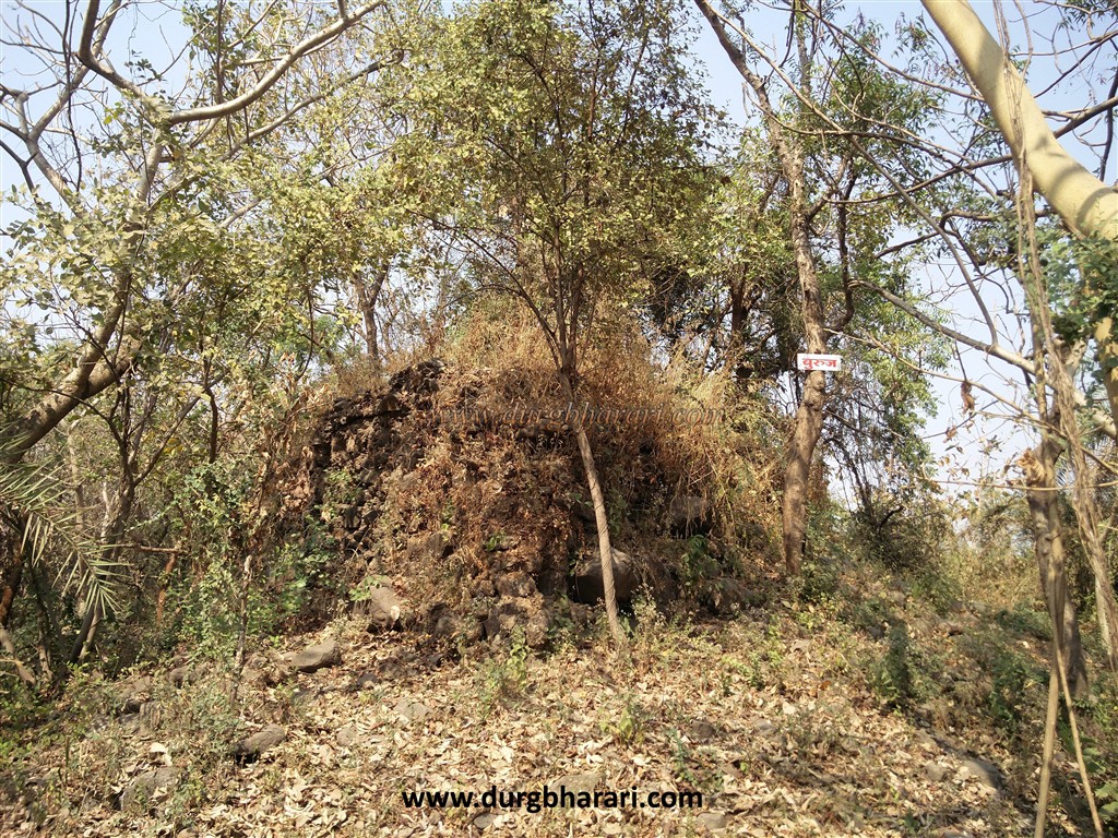
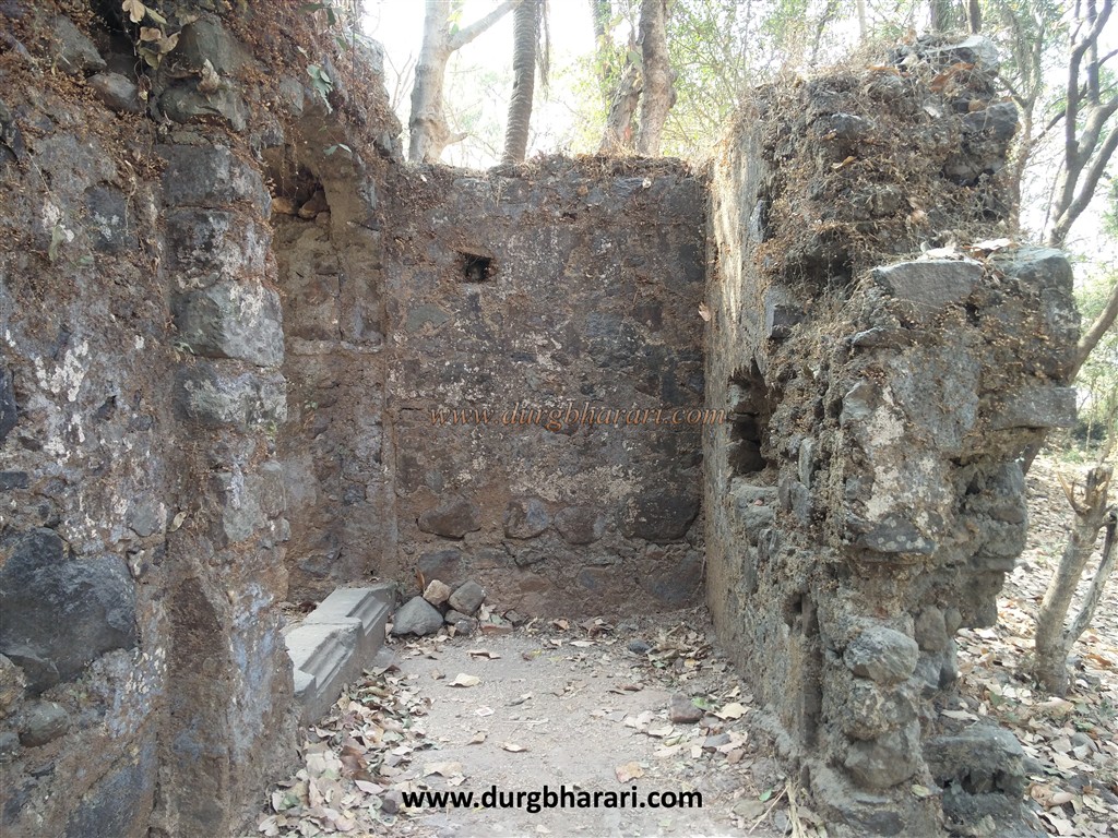
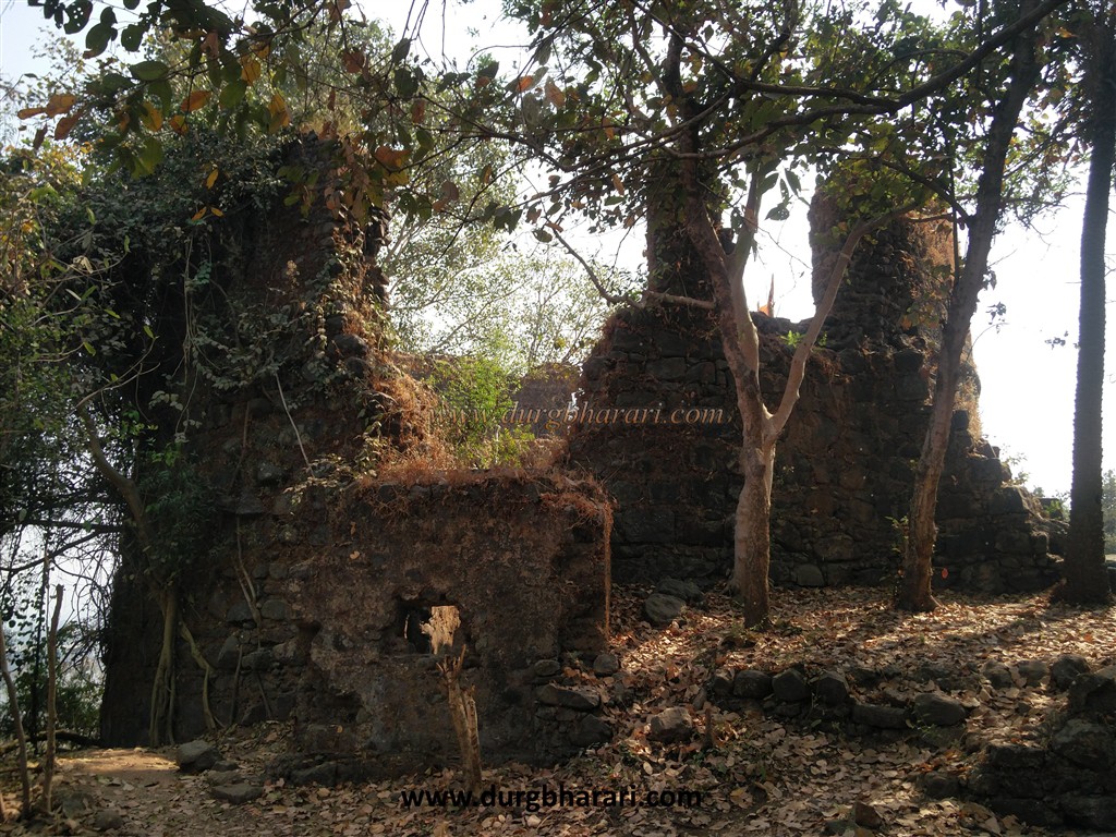
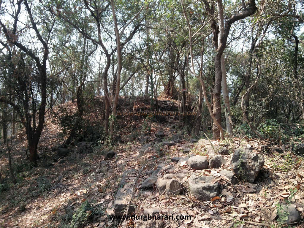
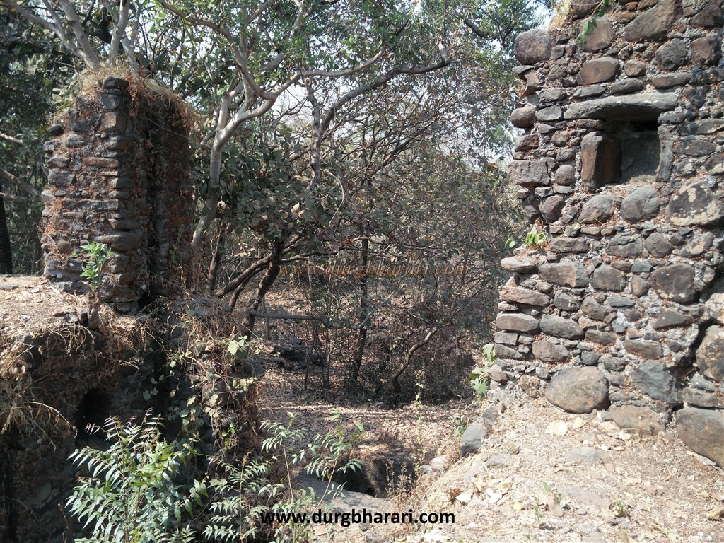
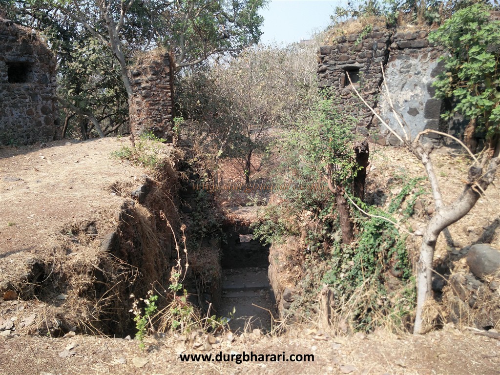
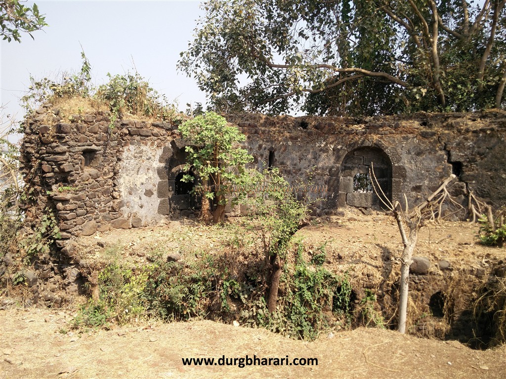
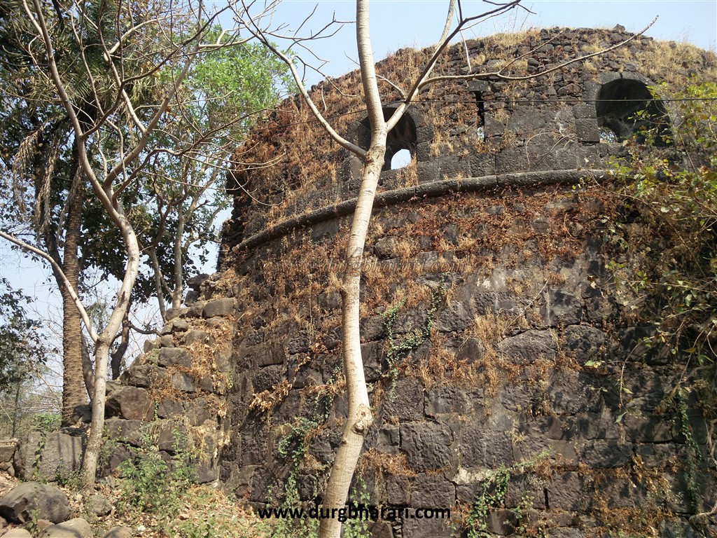
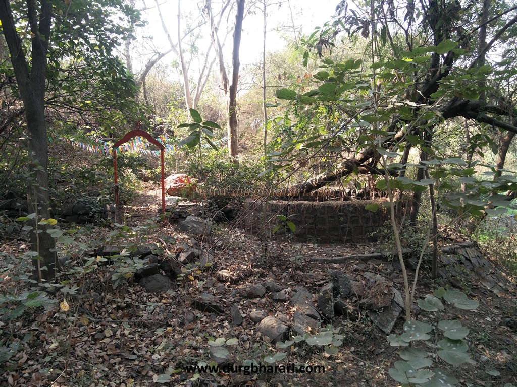
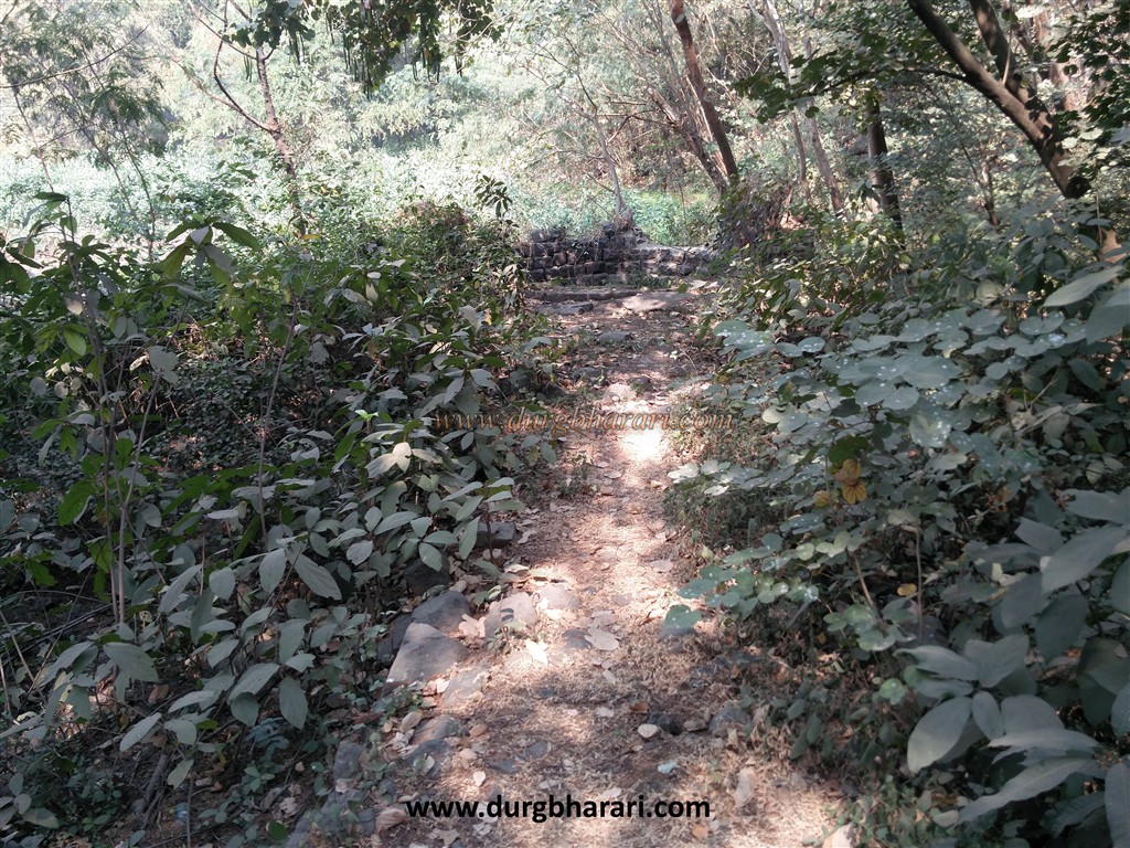
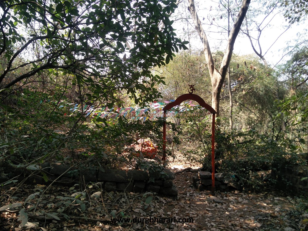
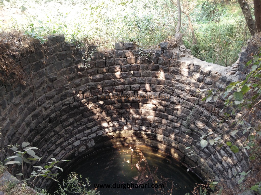
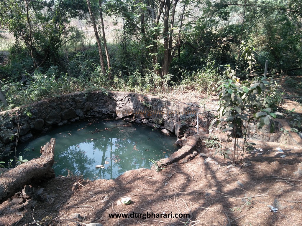
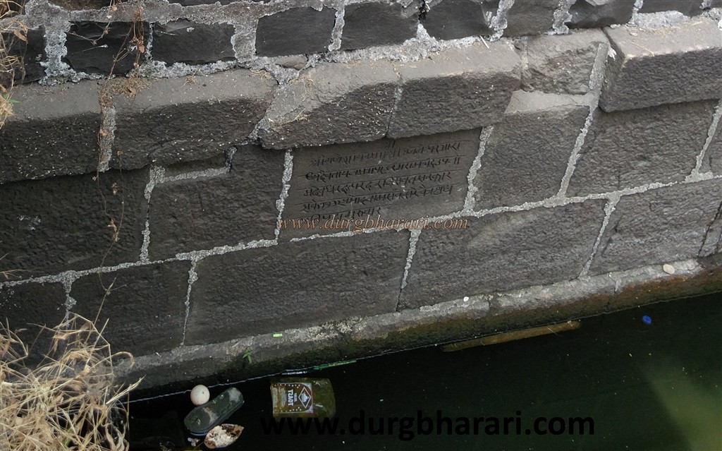
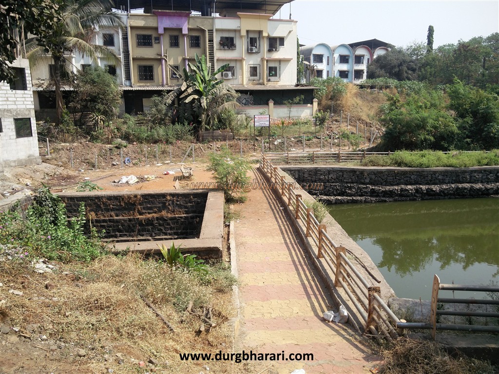
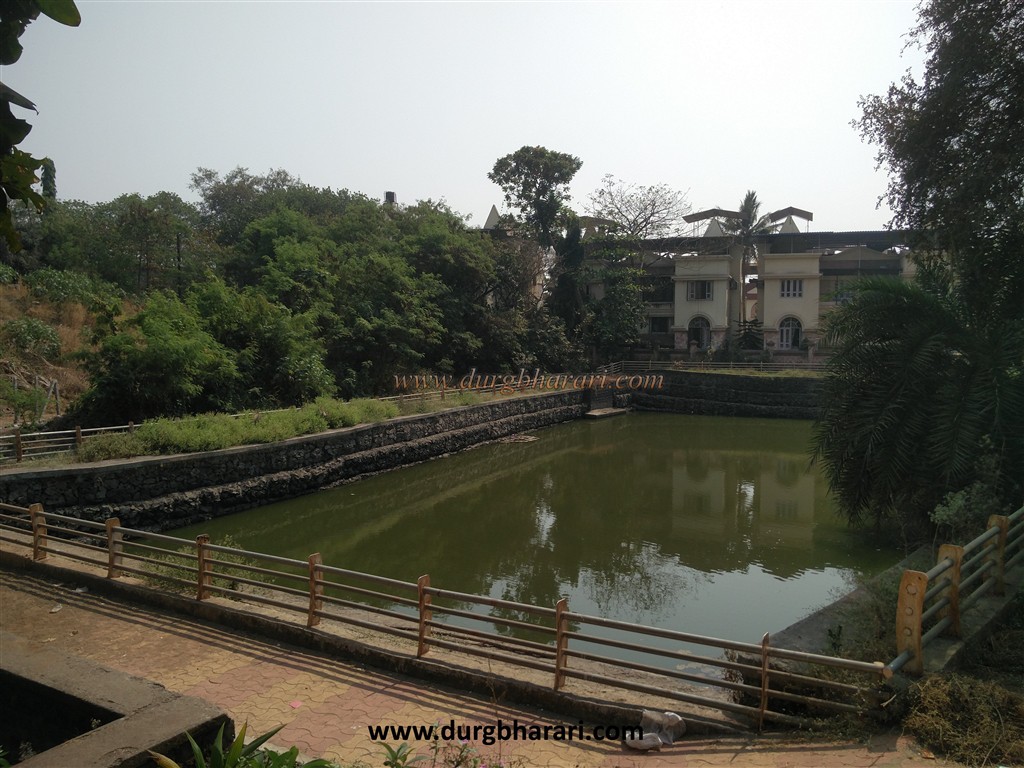
Due to the rapid development of Belapur, even the remnants of the fort are being lost in the jungle of buildings and are on the verge of destruction. As there is not much information available about this fort and the locals do not know much more , it is advisable to take full information before going there. On the way from Belapur to Uran, Belapur Buruj stands in front of Navi Mumbai Metropolitan Office at Palm Beach Road Chowk. From this bastion, a path leads straight to the hill where CIDCO's rest house is. This hill is the stronghold of Belapur fort. This way you can go to CIDCO's rest house and from there you can go to the citadel by steps or you can go to Govardhini Devi temple by a recent way and you can also go to the fort from there. Before going to the citadel, take the road on the left to Retibandar. On this road, on the west side of the fort, there is a well built by the Portuguese of size 12 X 12 feet and a large pond. Inside the well, there is a carved Marathi inscription with the letters 'Shak 1732' meaning '1810'. The reading of this inscription is- Shri / Shri Ganeshay Namah / Shri Anjaneshwar Aradhya Daivataya Namah / Pandurang Ramchandra surname Deodhar Daptarad / Ravi Sanvatsarkar 1732 / Pramod Naam Sanvatsare Chaitra Shuddha Pratipada Guruvar. When you see both of them, go back to the older path and move forward on the right path. The first thing you see on the right side of the road is a well. From there, on the left side, you can see the path leading to the citadel, and on the right side, you can see a large idol of Goddess satasara with shendur applied on it hidden in the bushes. Adjacent to the temple are two more Portuguese wells and a dried pond. Remains of an old house can be seen on the upper side of the temple, while the ramparts and its foundation can be seen in the bushes. The renovated temple of Goddess Govardhani, is far away from the citadel due to the contructed buildings inside the citadel itself. The fortifications at the bottom of the fort do not exist anywhere except the Satasara temple. From here we come to the main road and walk towards the ciadel by the steps. Remains of the building and a two-storied round bastion can be seen while climbing the citadel. Lots of ruins can be seen on the fort. It includes all the buildings like soldier’s residences, water cisterns, offices, houses, bastions and ramparts. From Belapur fort, Prabalgad, Karnala can be clearly identified and a very large area of the creek can be seen. It takes an hour and a half to walk around the entire area and the fort. The fort was built by the Portuguese, at the time when it was built, it had 5 bastions and strong ramparts. The fort was 75 feet high. There are 11 guns in the upper part of the fort and 20 guns in the lower part. In Portuguese documents the name of the fort is found as Syabage. During the Sashti Vasai campaign of 1739, the fort was besieged by 300 soldiers under the leadership of Narayan Joshi on 31st March 1737 and on 22nd April 1937 the fort came under the control of the Marathas but Sheikh Dawood and Kanhoji Hilal attained martyr. The Portuguese were permanently annihilated from the area. After the battle of Panipat, Sadashivbhau's duplicate was captured by Manaji Angre in the fort of Belapur. The fort was conquered by Colonel K on 23 November 1778. In 1779, according to the settlement of Wadgaon, the British had to return the possession of the fort to the Marathas. On 12 April 1780, Captain Campbell recaptured the fort of Belapur, but according to the treaty of 1782, the fort had been returned to the Marathas by the British. On June 23, 1817, Captain Charles Gray conquered the fort and annexed it to the British Empire.
© Suresh Nimbalkar
GALLERY