BARWAI
TYPE : HILL FORT
DISTRICT : RATNAGIRI
HEIGHT : 1445 FEET
GRADE : MEDIUM
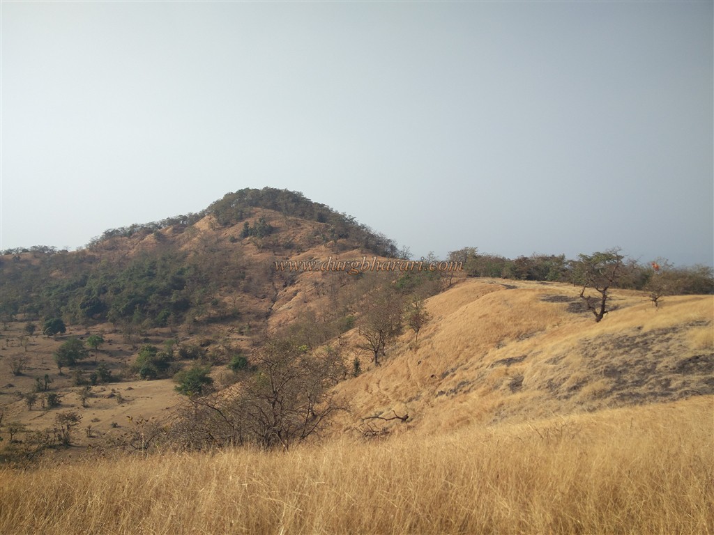
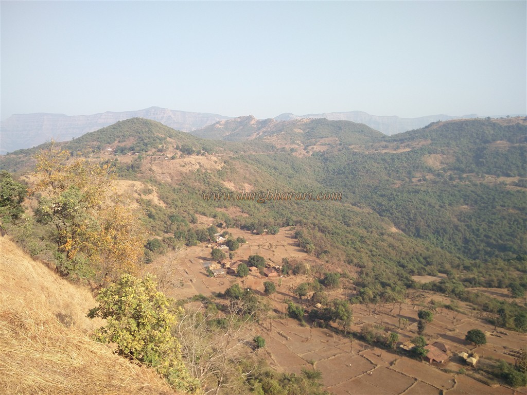
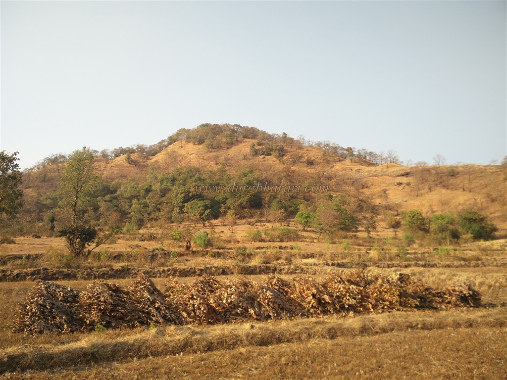
Many forts in Konkan have been destroyed over time and are left only in the pages of history. Fort Barwai is one such fort that was destroyed before Shivaji Maharaj’s period. we come to know about this from the book of Daspaticha Etihas. The book mentions Barwai fort in the history of Daspati of the Shinde family at Pedhambe. Considering the location of this fort on a hill separated from the Sahyadri mountain range, this fort must have been used for the protection and surveillance of Tiwre Ghat, which connects the Desh and the Konkan. Today, there are very few remnants on this fort. This fort may have been partially built during the construction. To reach the plateau of the fort, there are many nearby villages like Pedhambe, Ugavatwadi, Sutarwadi, Khadpoli, but the nearest way to reach the fort is from Gane village by private vehicle.
...
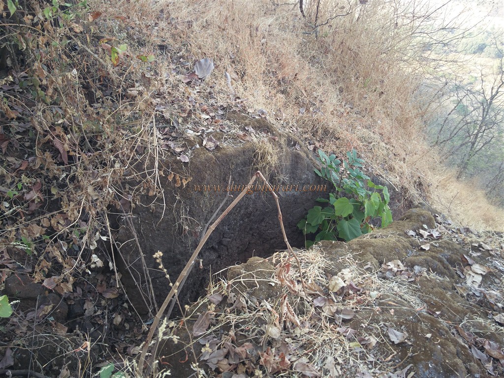
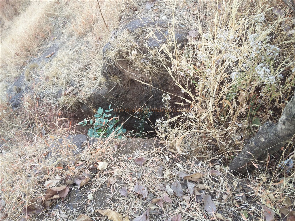
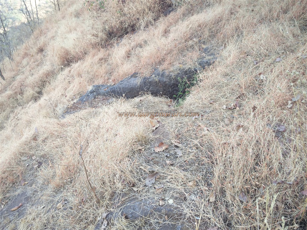
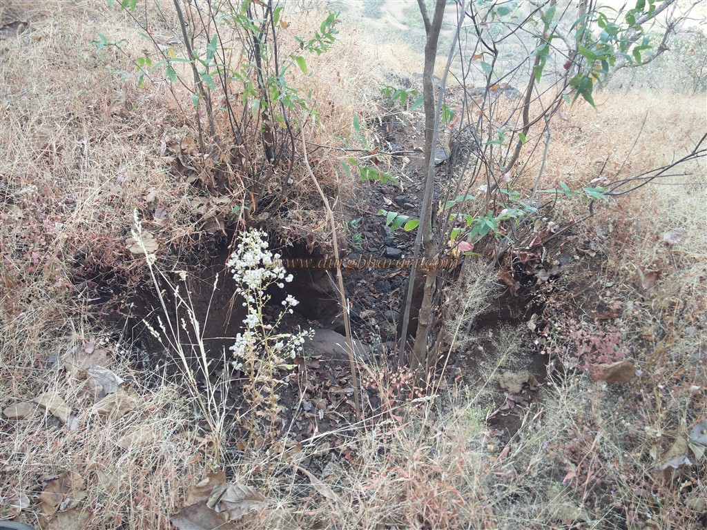
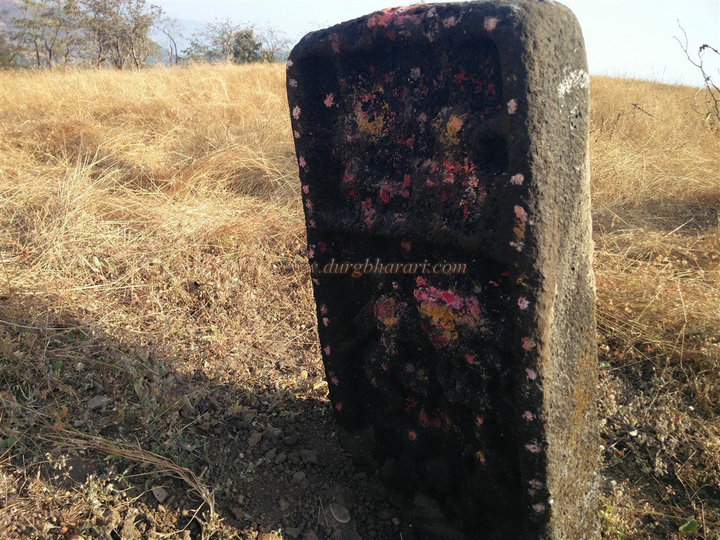
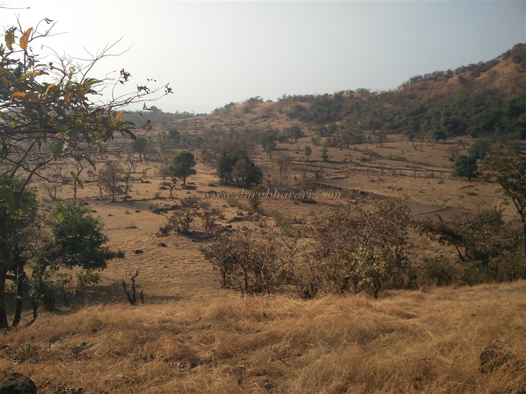
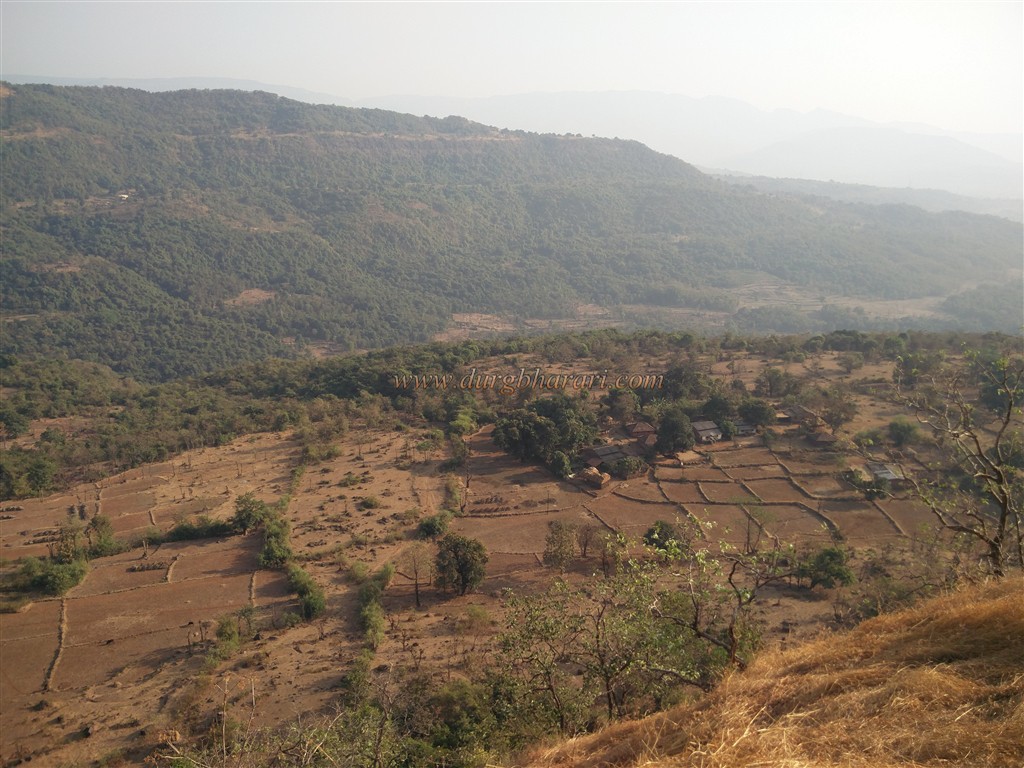
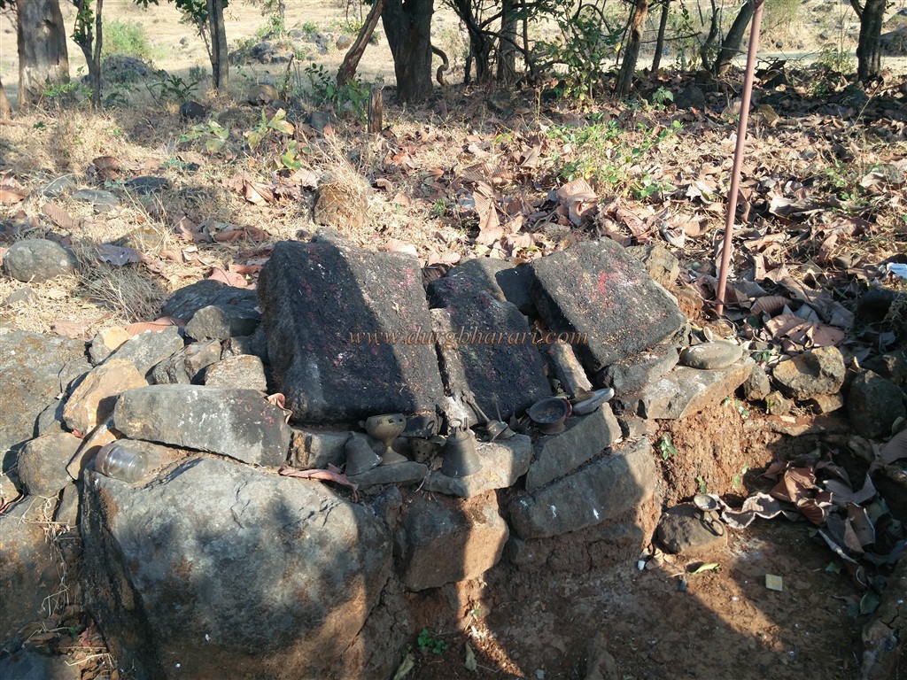
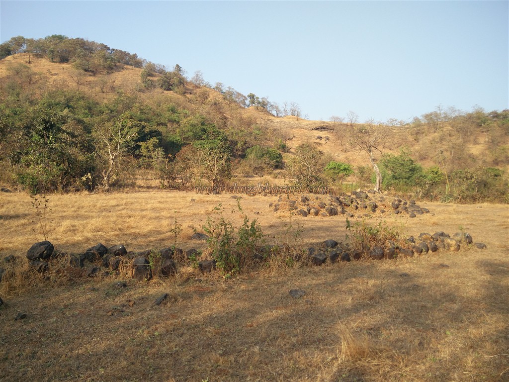
The distance from Chiplun to Gane is 20 km and there is a Chiplun-Bahadurnaka-Khadpoli-Gane road but the last 2 km of it is unpaved. The place where this road ends in the village leads to a footpath which takes you to the fort. As there are very few remnants and the ones which do exist are scattered all across the fort, therefore, it is better to take a local guide from the village otherwise a lot of time will be wasted in finding the ruins. In ten minutes we reach the fort's plateau by the footpath of the village and in front, we can see Barwai fort’s hill. Except for two-three quadrangle structures under a tree, there are no remains on the fort. All these remains are at the foot of the hill and the plateau. You have to complete your journey by going around this hill. Ascending the hill from the northern edge, you can see three trenches of size 8 x 3 feet dug in a row at the eastern foot of the hill. Stones obtained while digging these trenches were used for the construction of the fort. There is a small natural cave at the bottom and you have to go down the hill of the fort to the eastern part of plateau to see it. Turning the hill to the southern edge, you can see a human figure carved on a stone in the open. The locals worship it as a Vetal, while some fort lovers say it is a hero stone, but it is not a hero stone either. The rock is carved in two parts and musicians and dancers are carved in the lower part but the upper part is beyond recognition due to wear and tear. Seeing this idol, we come to the shadow of the trees on the plateau in front of us. Some partially formed stones are kept in the shade of the trees and this place is known as the Bahiri Devache Thane. Remains of a large number of houses can be seen in this area but there is no drinking water facility anywhere. Mahimandangad, Nageshwar, and Vasota forts can be seen in the distance from the top of the fort and wild Jaigad can be seen on the right. Here your fort round ends. Two hours are enough to walk around the entire fort and come back to the village. There is no accommodation on the fort but you can stay in the courtyard of houses in Gane village. This fort was under the control of Bararao Koli during the Bahamani dynasty in the 13th century. The origin of the name of this fort comes from the Bararao. Along with this fort, Kolkewadi fort was also in the possession of Bararao. The Bahamani Sultan undertook three expeditions to defeat Bararao. Around 1380, Sheikh Akus Khan of the first expedition was defeated at Konkanwavi-Pofli near Sonpaya in Kumbharli wharf, while Bhai Khan of the second expedition was defeated at Dalvatne. In the third time, Sardar Bahadur Sheikh of the third expedition was killed near Chiplun. Today, Bahadur Sheikh Naka of Chiplun is known by the name of this Sardar. Eventually, the Bahamani chiefs resorted to discrimination and Madhavrao Ravirao Shinde became hostile to the enemy. Eventually, the kingdom of Bararao fell and the sultan gave twenty-four villages to the Shinde. The wives of these twelve Rao went to Sati at Kalmani.
© Suresh Nimbalkar
GALLERY