BAJAGAD
TYPE : HILL FORT
DISTRICT : GADCHIROLI
HEIGHT : 1647 FEET
GRADE : MEDIUM
In a district whose very name contains the word “gad” (fort), it is ironic that most of its forts have nearly vanished from maps and memory — with only a few like Surjagad and Vairagad still holding some recognition. While the presence of Naxalites activity and their use of these forests and hills for shelter is one of the reasons behind this obscurity, the deeper cause lies in the lack of official documentation and widespread apathy at all administrative levels.
Due to the long-standing tag of a “Naxal-affected region,” these forts never attracted trekkers, historians, or researchers. As a result, they have been lost to time. Through our Gadchiroli fort exploration, we made a sincere effort to trace these hidden forts and bring their fading legacy to light.
...
Given the sparse population and dense forest terrain of Vidarbha, exploring these forts requires the use of private vehicles to ensure both transport and safety, as visiting even a single fort in a day becomes challenging without it.
Through the Shivneri Trekkers, we learned of a fort named Bajagad, located atop a hill near Kulbhatti village in Dhanora Taluka. After an overnight halt at Kurkheda, we visited Jhaparagad and Tipagad before reaching Kulbhatti by 2 PM. Kulbhatti lies 33 km from Dhanora and 70 km from Gadchiroli.
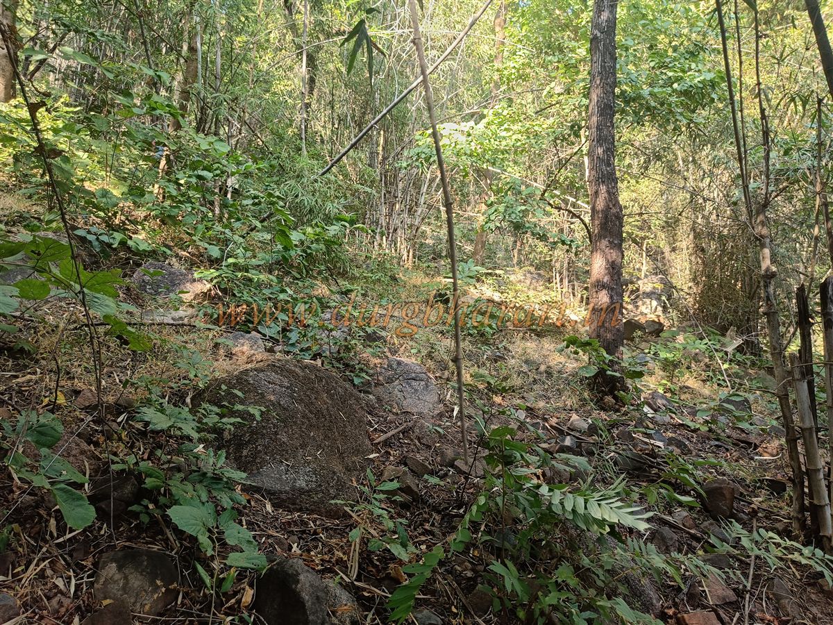
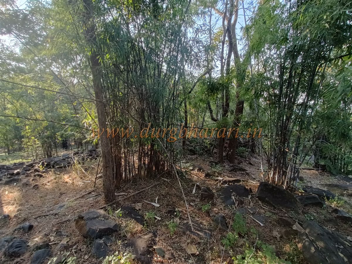
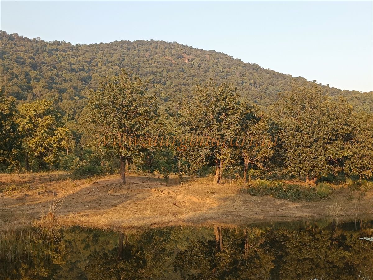
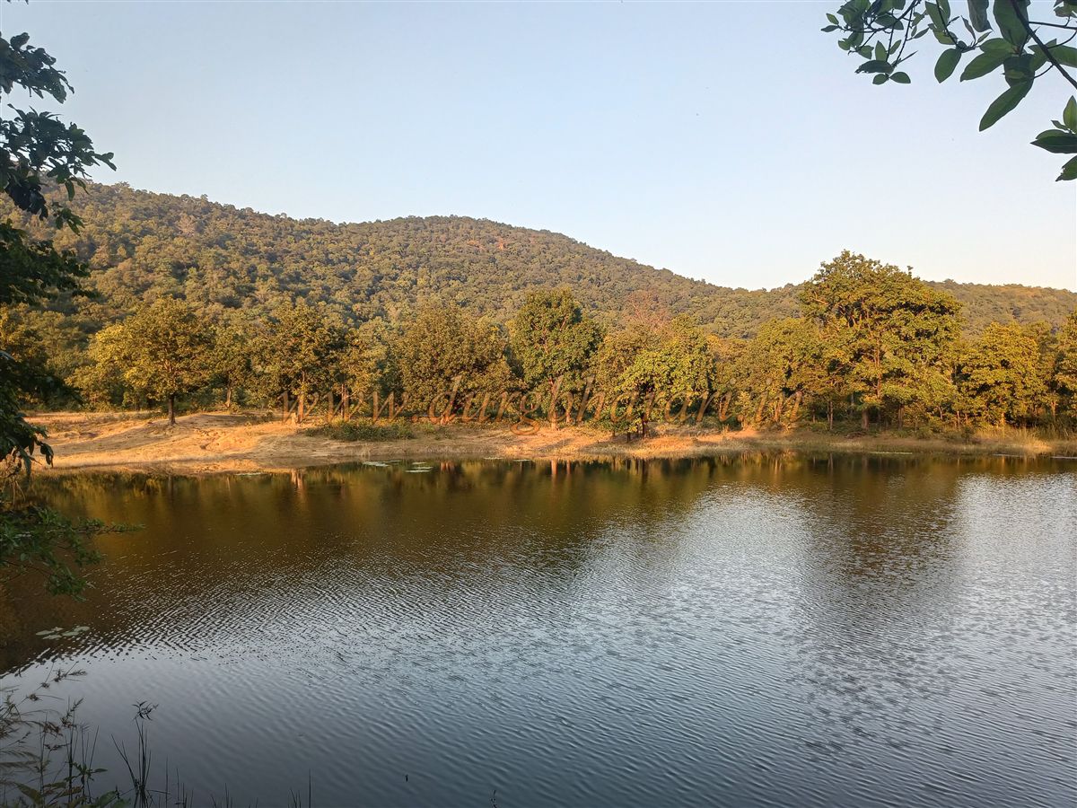
We requested two local villagers, who were busy harvesting paddy, to accompany us as guides. The base of the fort is around 2 km from the village, and the trail starts from a reservoir at the foothills. As the fort is rarely visited, the path is overgrown with thick shrubs and undergrowth, making it necessary to have at least two guides.
The area is also known to have bear activity, so one must proceed with caution.
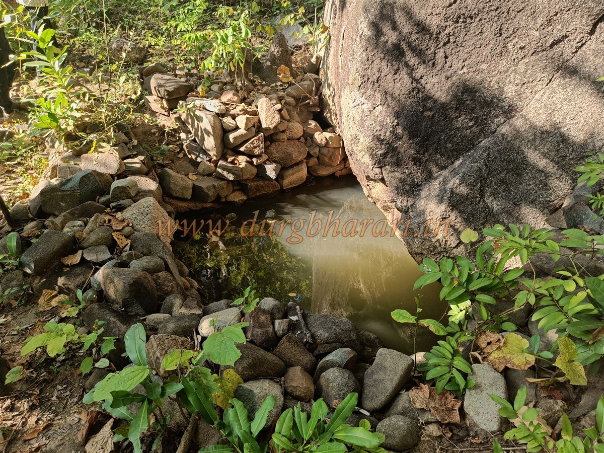
After entering the forest from the reservoir, a 15-minute walk leads to a rock-cut water cistern at the base. The water here is clean and available year-round. From here, a steep ascent of about 45 minutes through the forest takes you to the lower part of the main fort.
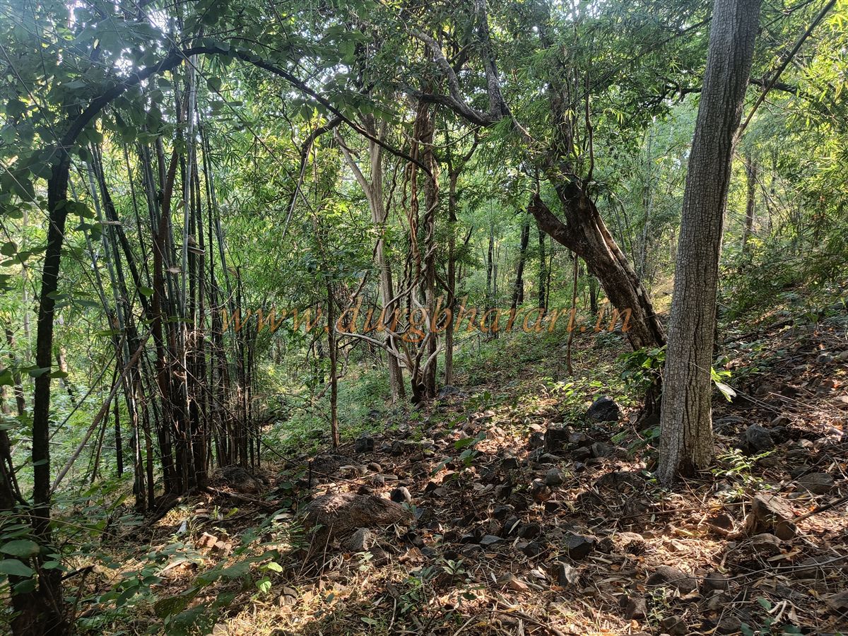
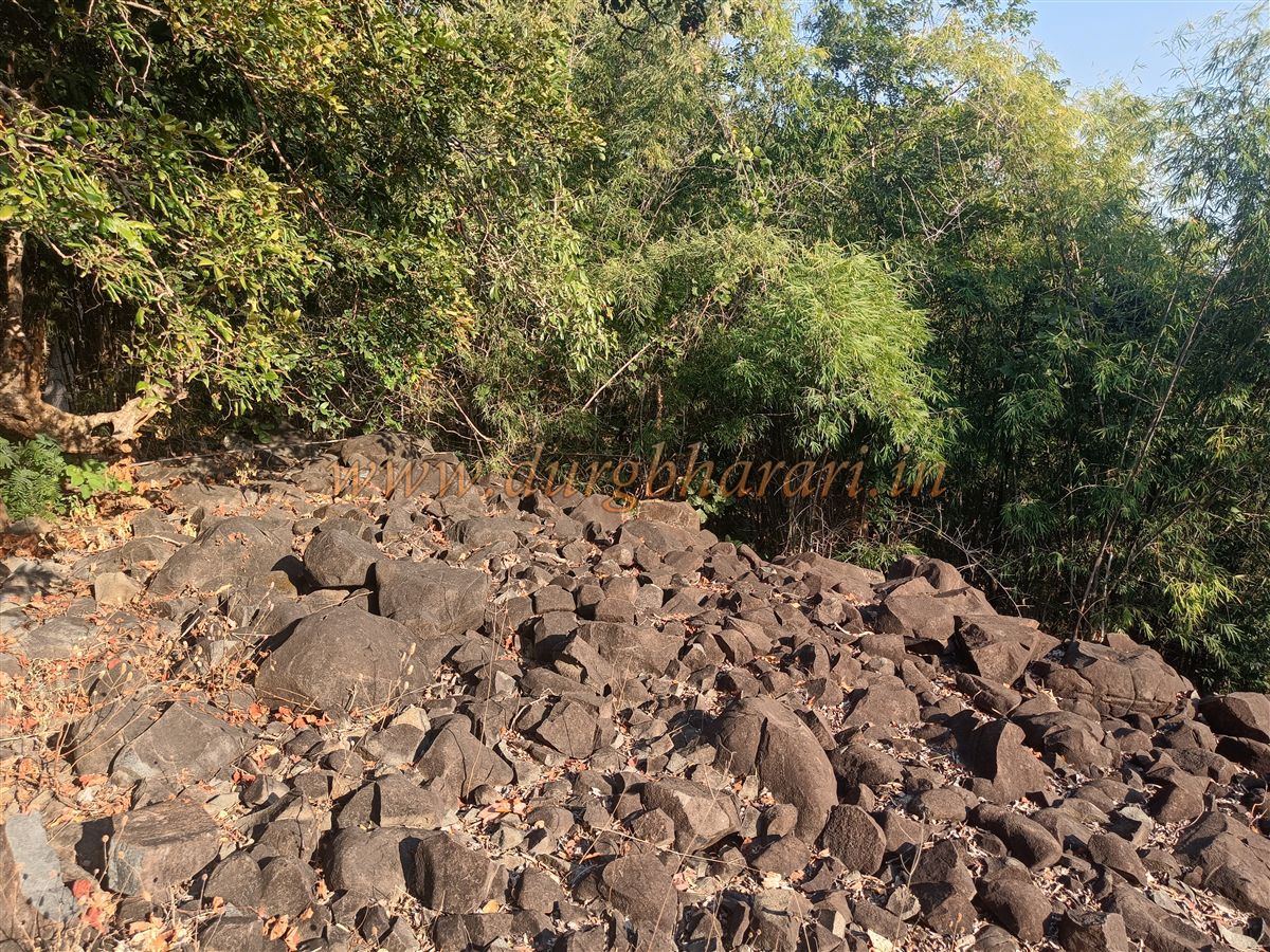
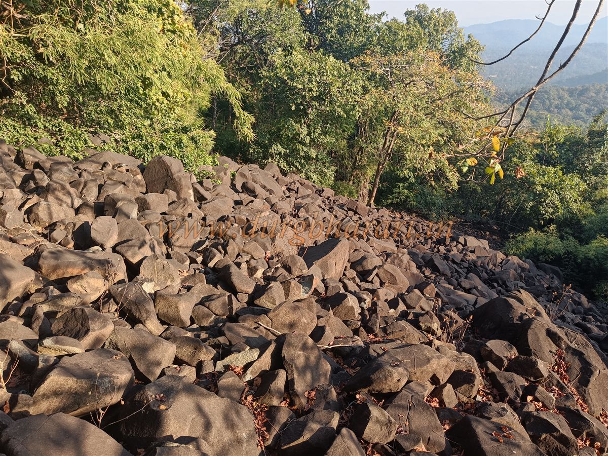
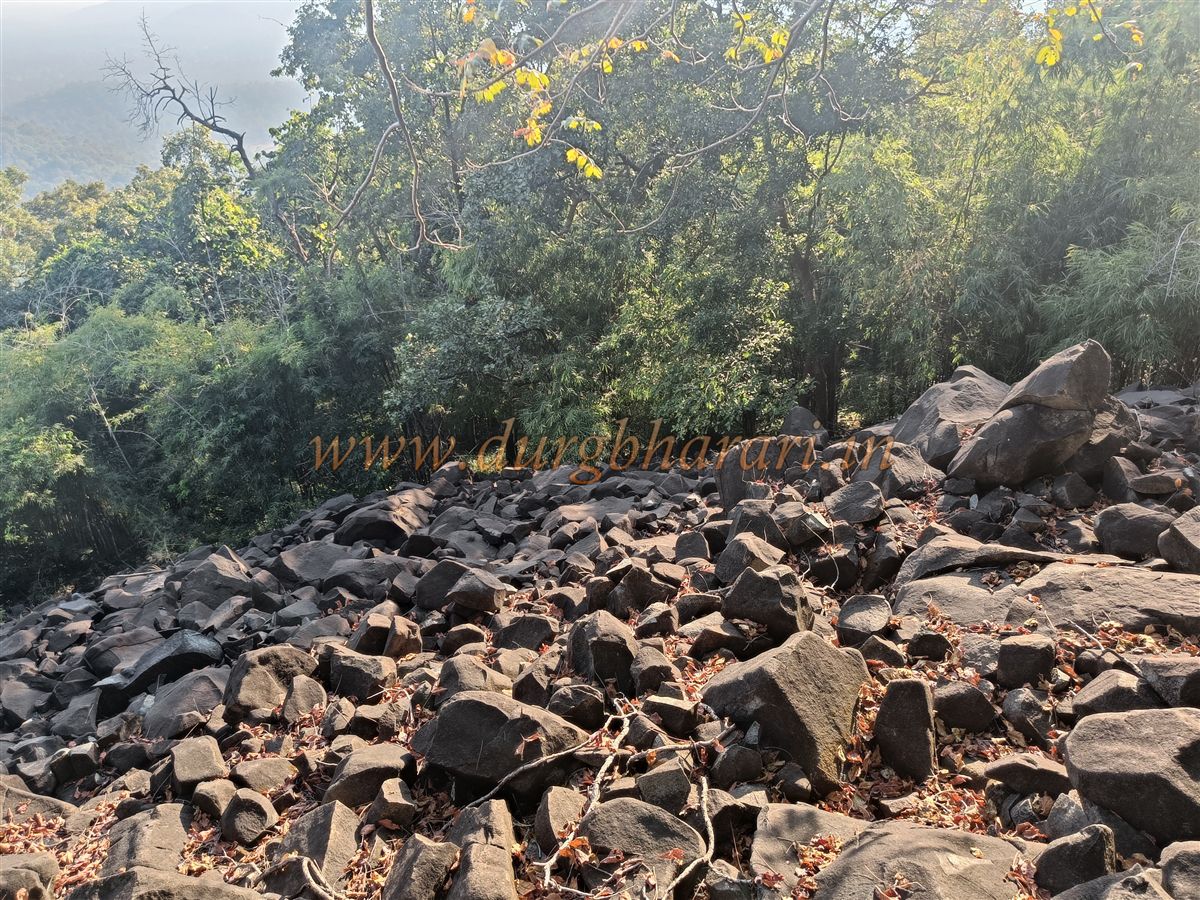
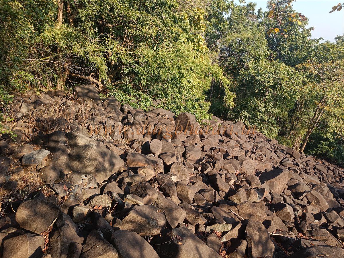
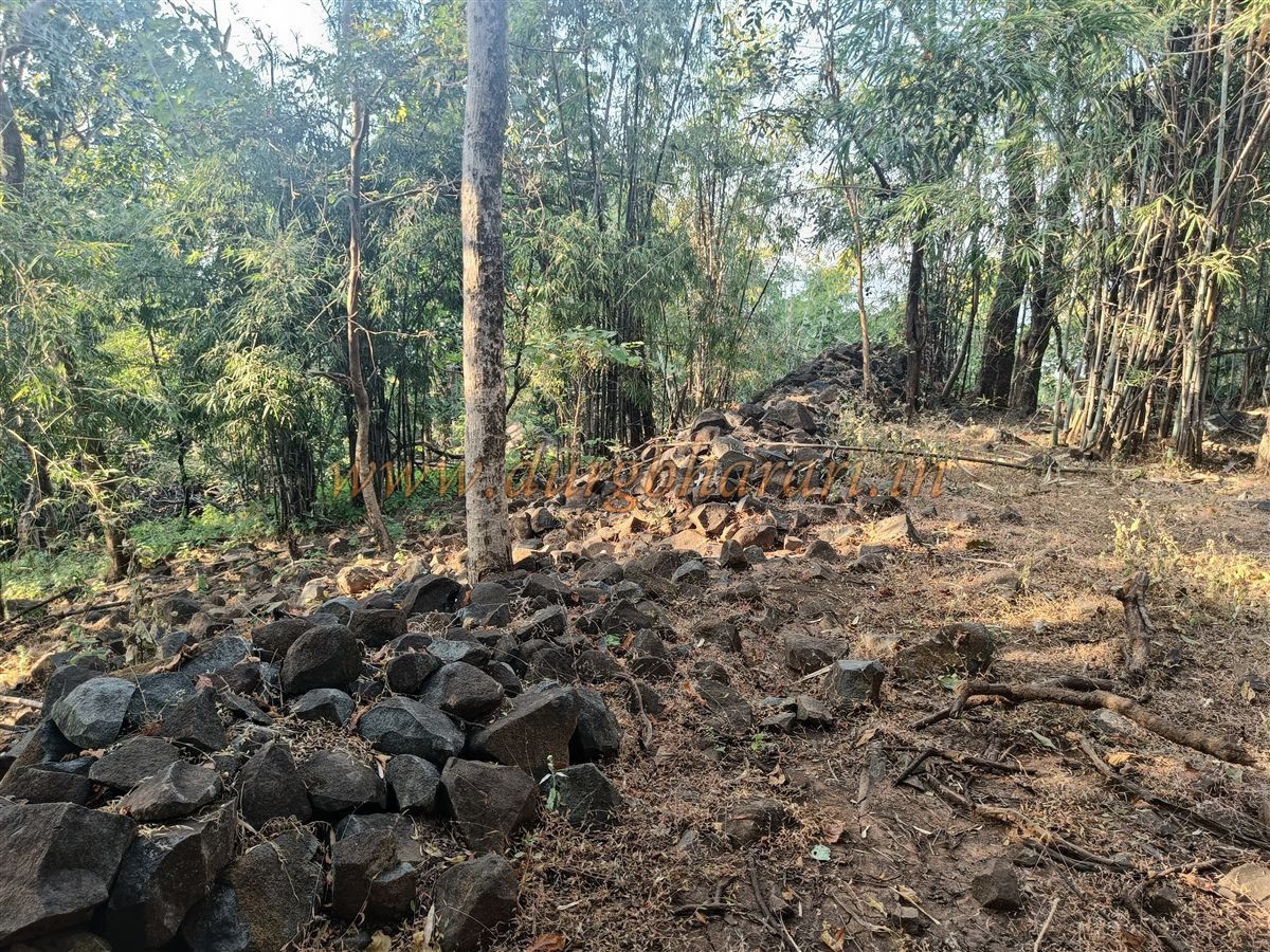
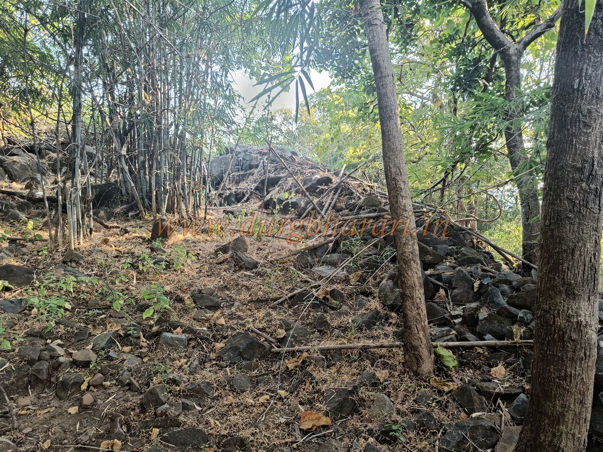
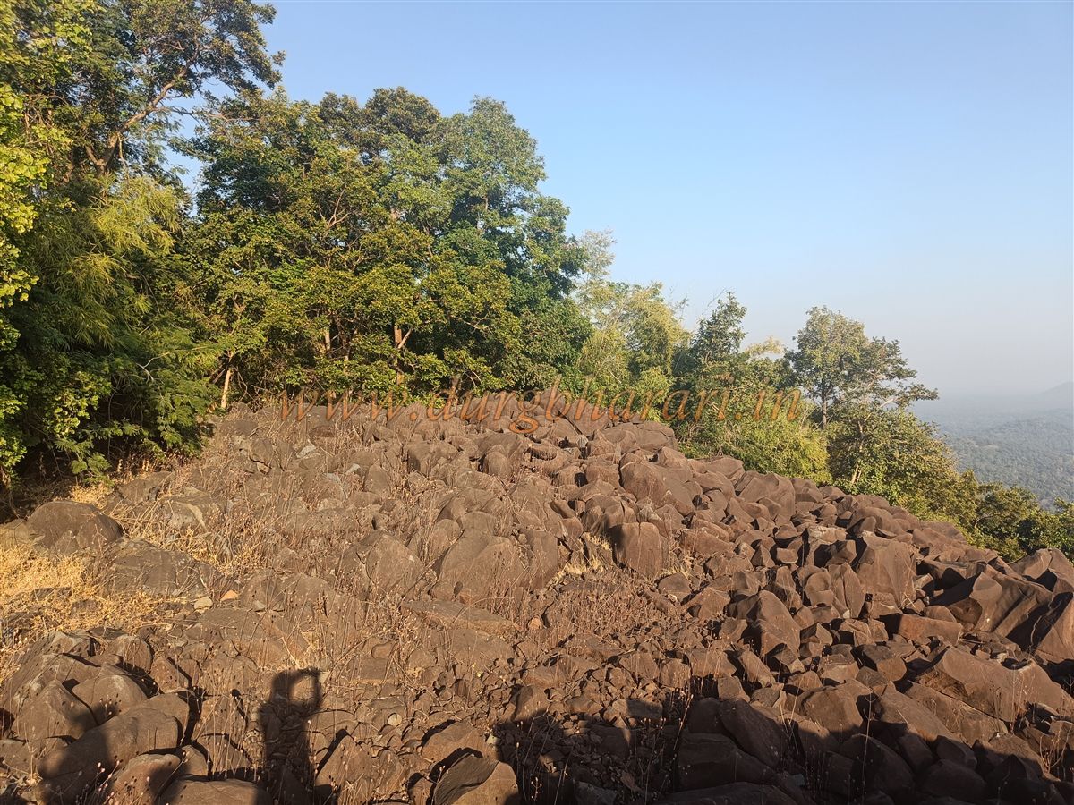
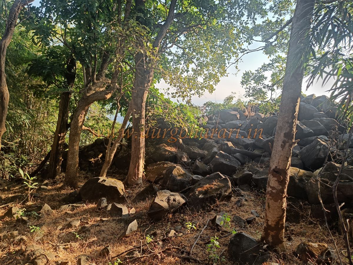
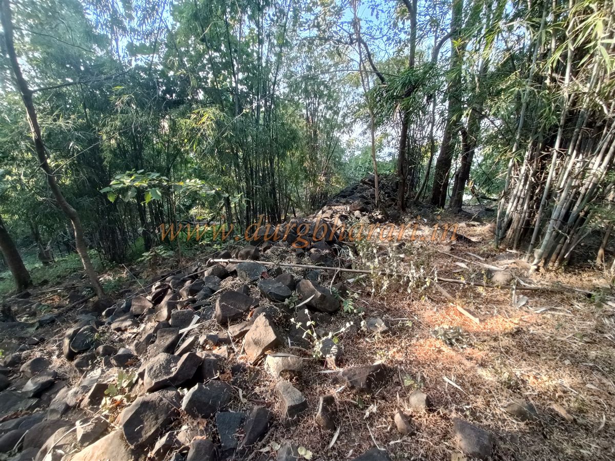
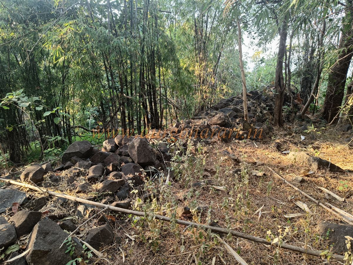
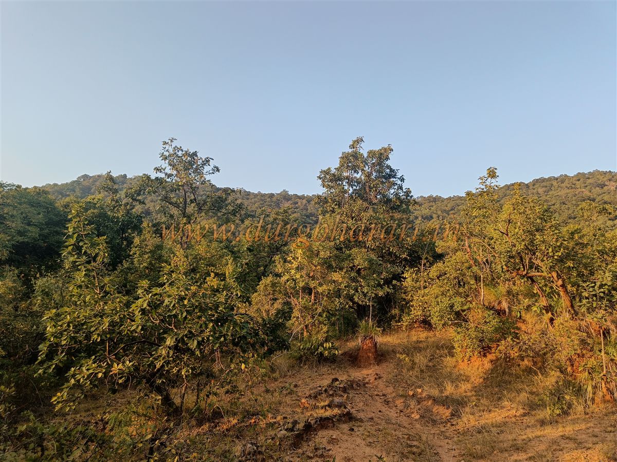
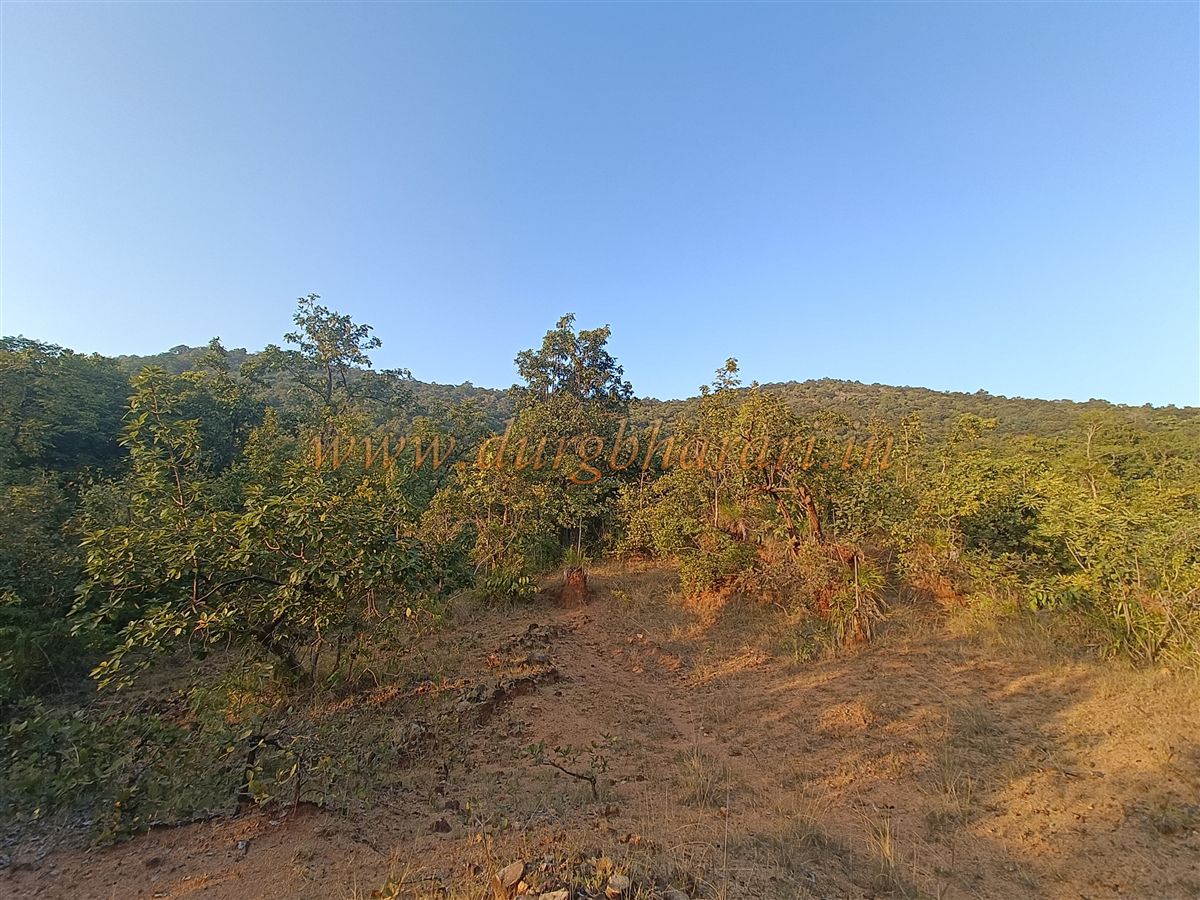
The dense forest surrounding Bajagad is its greatest natural defence. Apart from two visible stretches, no fortification can be seen in the lower sections of the hill. Even at those two spots, the fort walls have crumbled, with their stones scattered downhill.
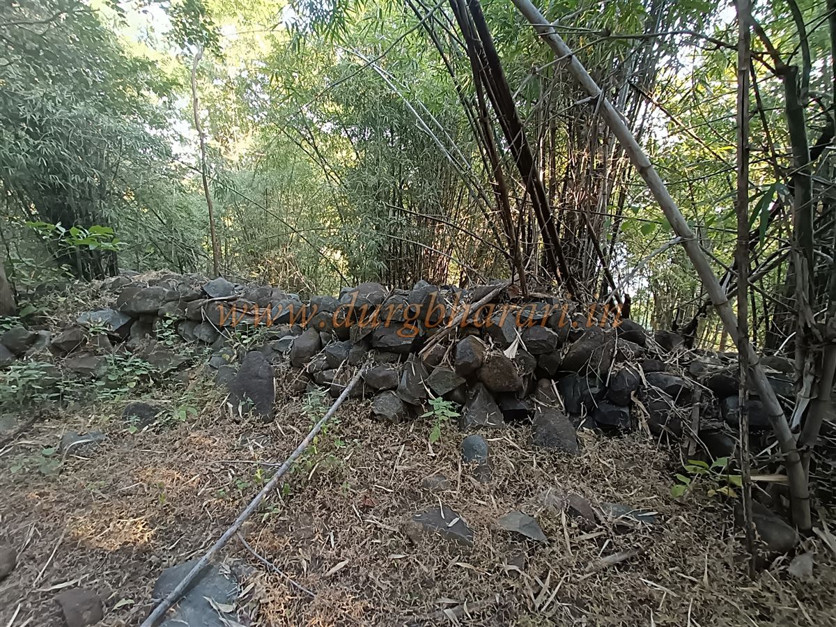
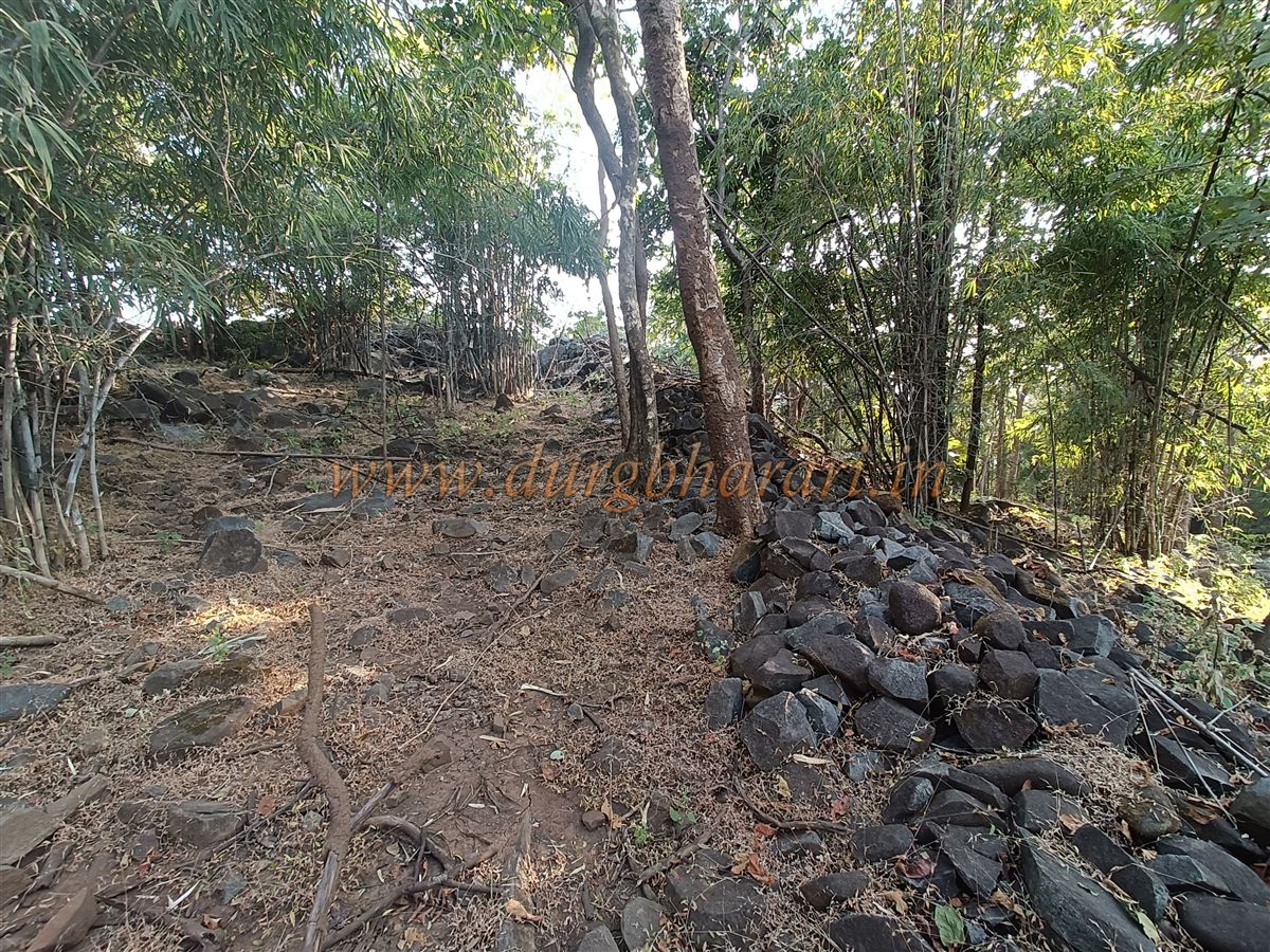
From this collapsed section, another 20-minute steep climb takes you to the main citadel (Balekilla). Though the main entrance has perished over time, the fort walls are still standing strong. Built entirely with dry masonry, the walls are approximately 8–10 feet in height and 4–5 feet in width.
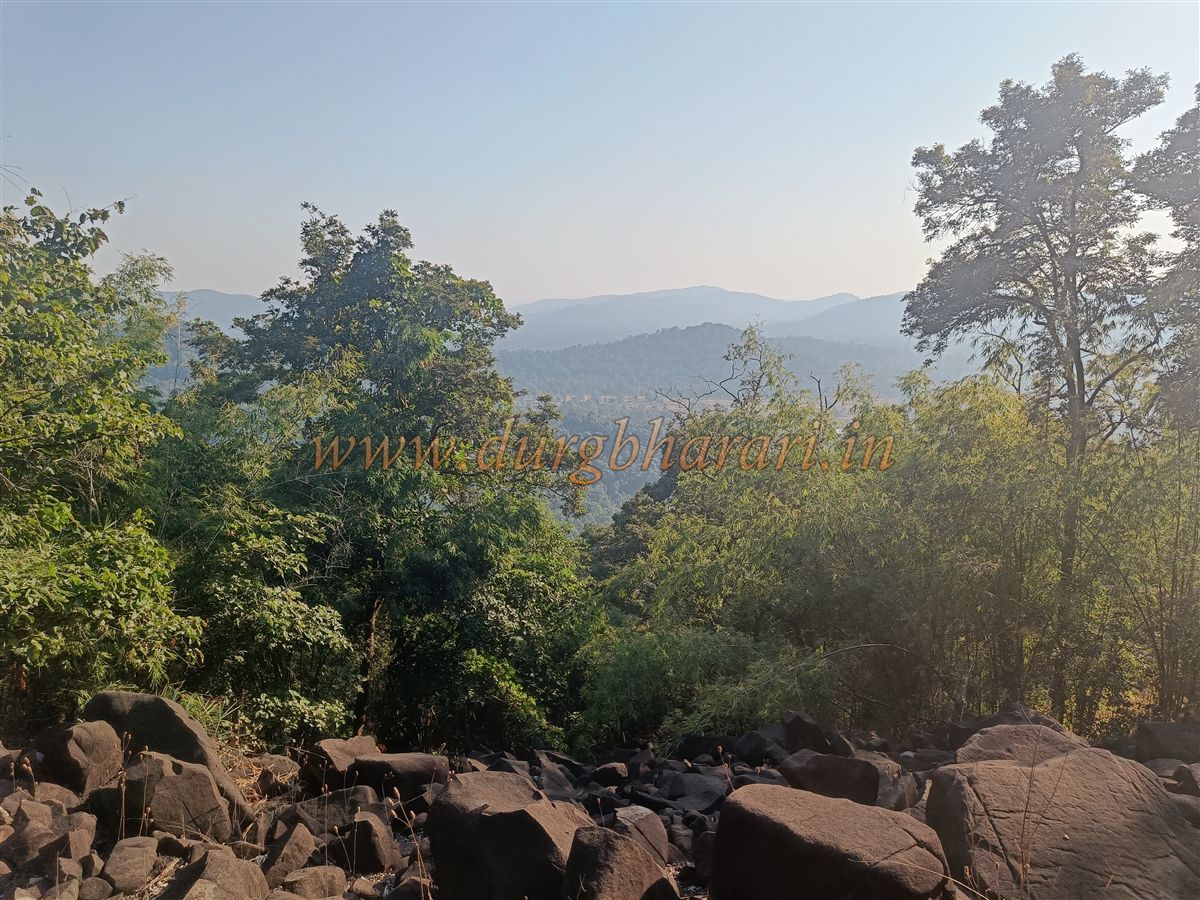
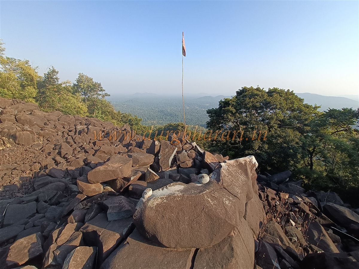
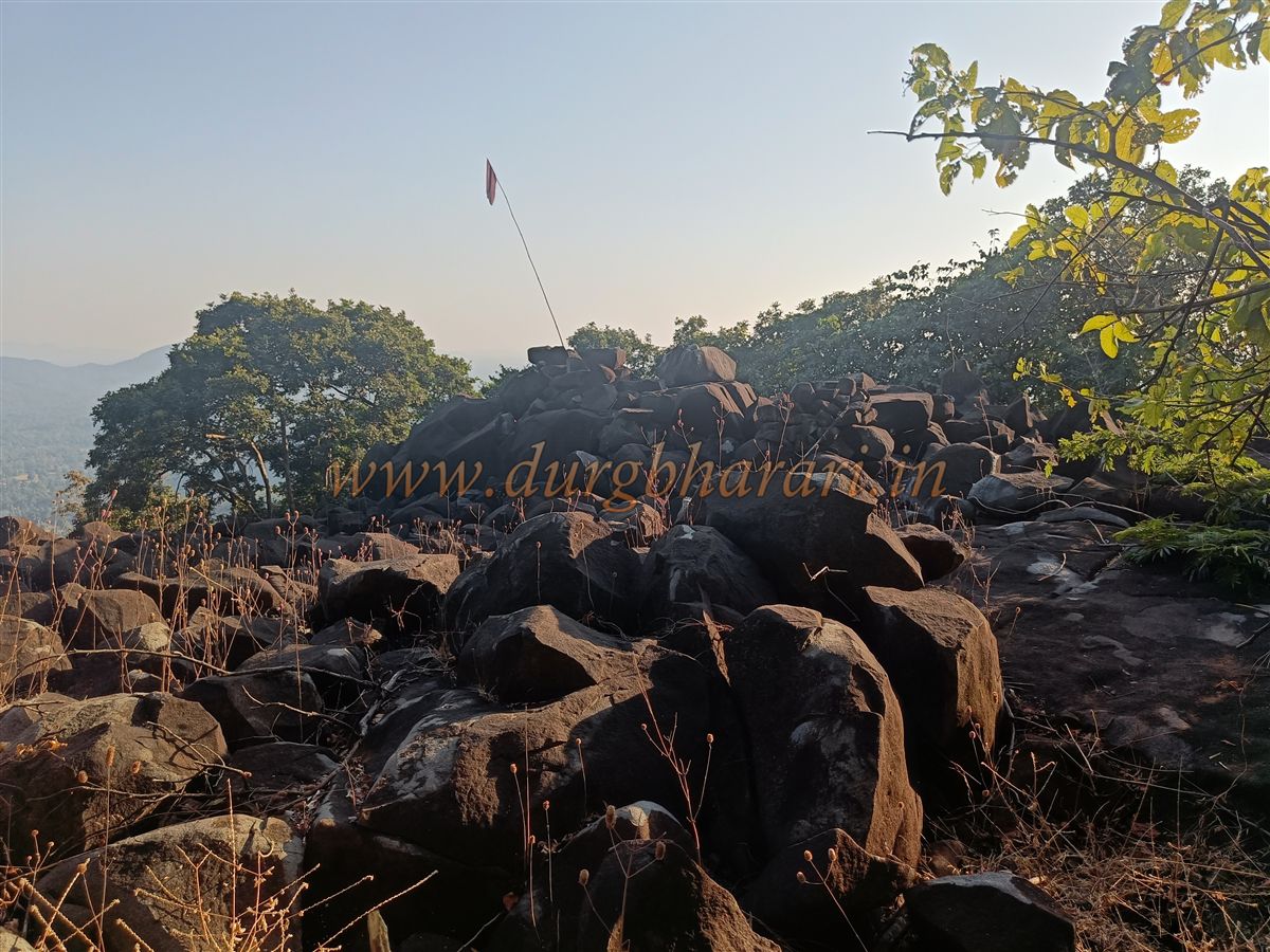
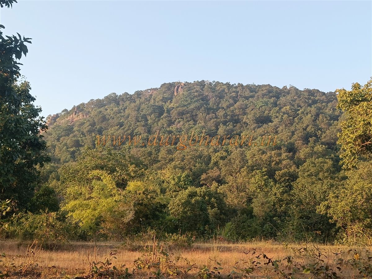
Bajagad is the tallest hill in this region, with its summit at an elevation of 1590 feet above sea level.
One of the most fascinating features of Bajagad is a musical rock located on a bastion bearing a flag pedestal. When struck with another stone, this rock emits various tones resembling a brass bell, earning deep reverence from the local Gond tribal communities, who consider it sacred.
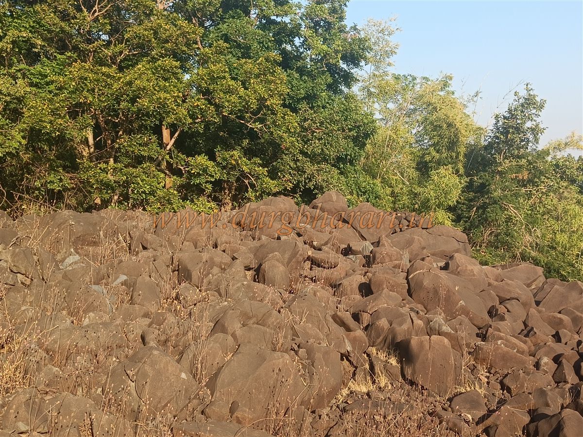
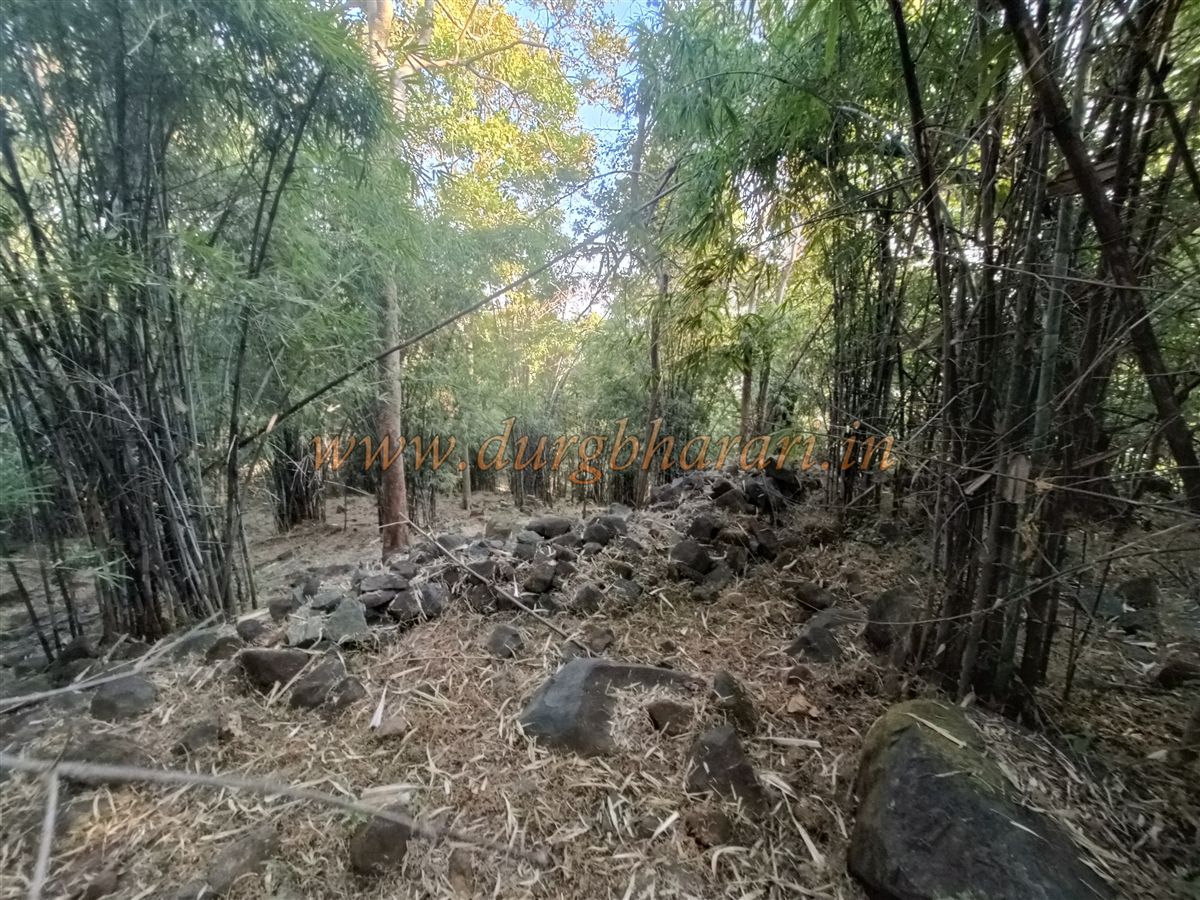
Though the summit is densely forested, it is still possible to circle the entire fort wall. It seems that most structures atop the hill have either vanished under the forest or been buried. The main citadel can be explored within 15 minutes, and the descent back to the base takes about an hour.
In total, a minimum of four hours is needed to explore Bajagad Fort.
Like many other forest forts of Gadchiroli, no official documents, references, or historical details are available regarding Bajagad. Due to its complete obscurity, the fort's history remains silent and unknown.
However, considering the influence of the Gond dynasty in this region, it is quite likely that Bajagad was constructed by the Gonds. Today, this once-significant structure under Gond sovereignty sits forgotten, veiled in thick forests, waiting to be rediscovered.
© Suresh Nimbalkar
GALLERY