ANANDGAD
TYPE : HILL FORT
DISTRICT : BELGAON
HEIGHT : 2904 FEET
GRADE : EASY
The Belgaum border issue is a never-ending wound on the heart of Maharashtra. However, this Marathi multilingual province in the Swarajya was annexed to the state of Karnataka during the provincial nation. This part of Karnataka, which still preserves Marathi culture in the true sense of the word. The realization you get that you are in Maharashtra when you are visiting the forts in Belgaum. As these forts in Belgaum district are in Karnataka today but once upon a time they were in swarajya. I consider these forts as forts in Maharashtra and I am referring to them as forts in Maharashtra. While roaming around Belgaum district, I was able to visit more than 30 forts here. I have tried to give the information of all those forts on my website Durgabharari.
...
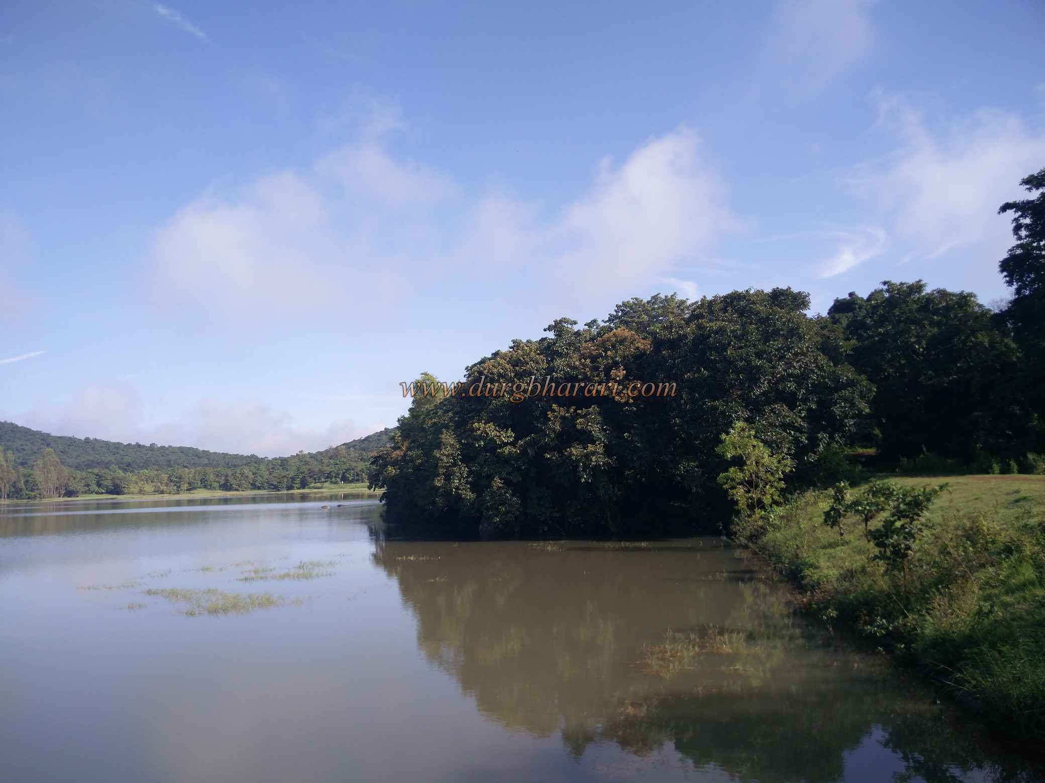
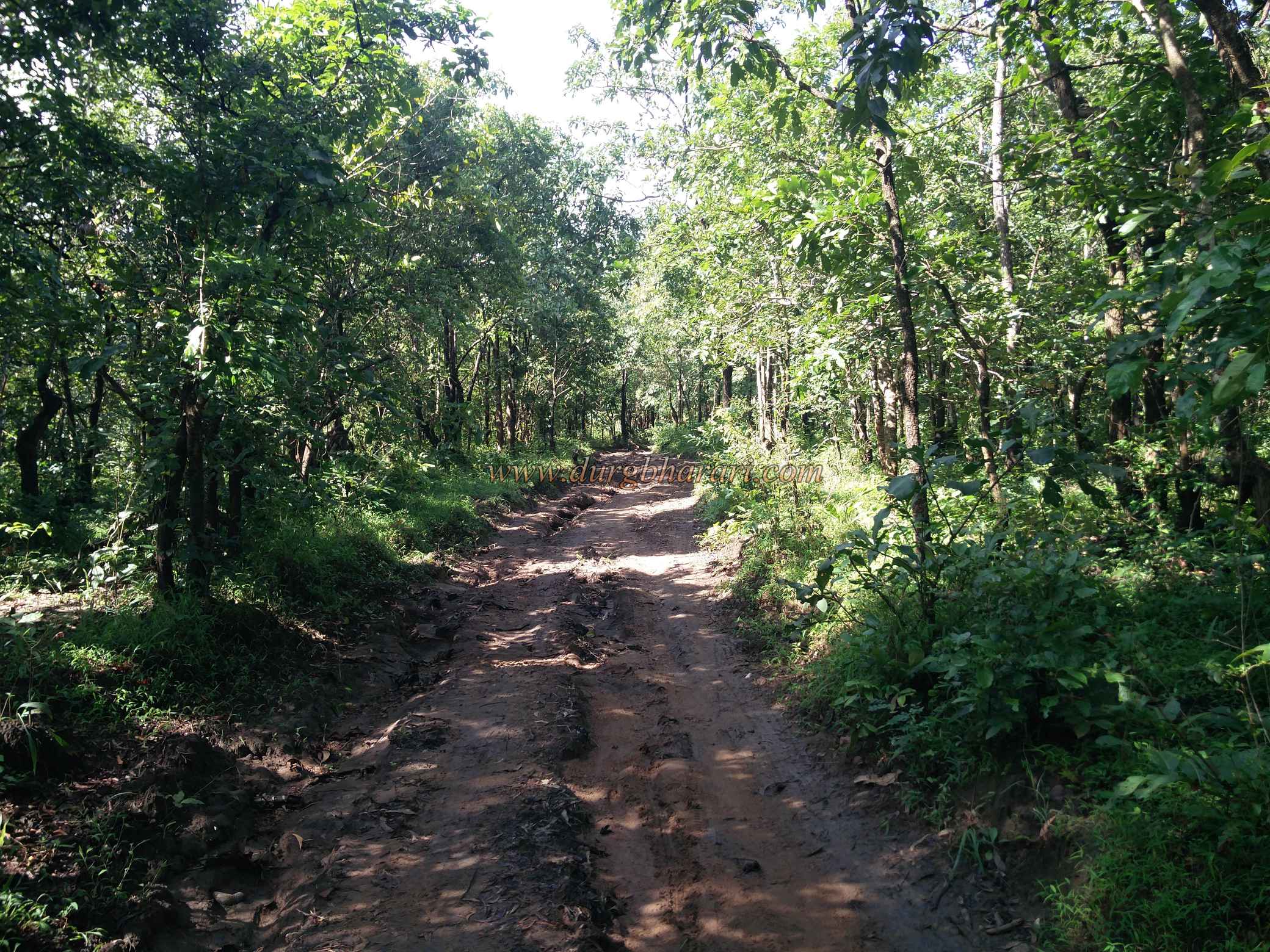
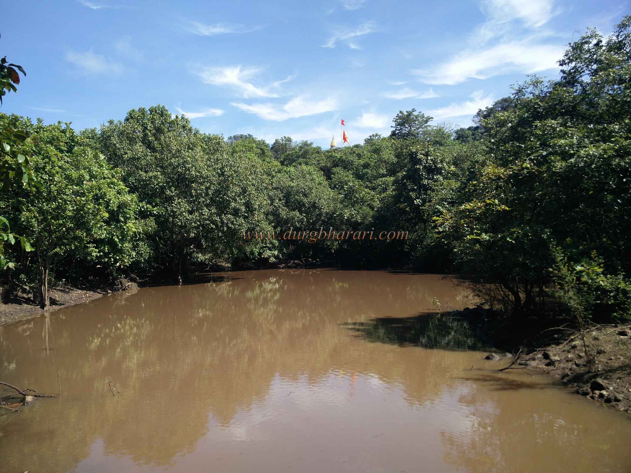
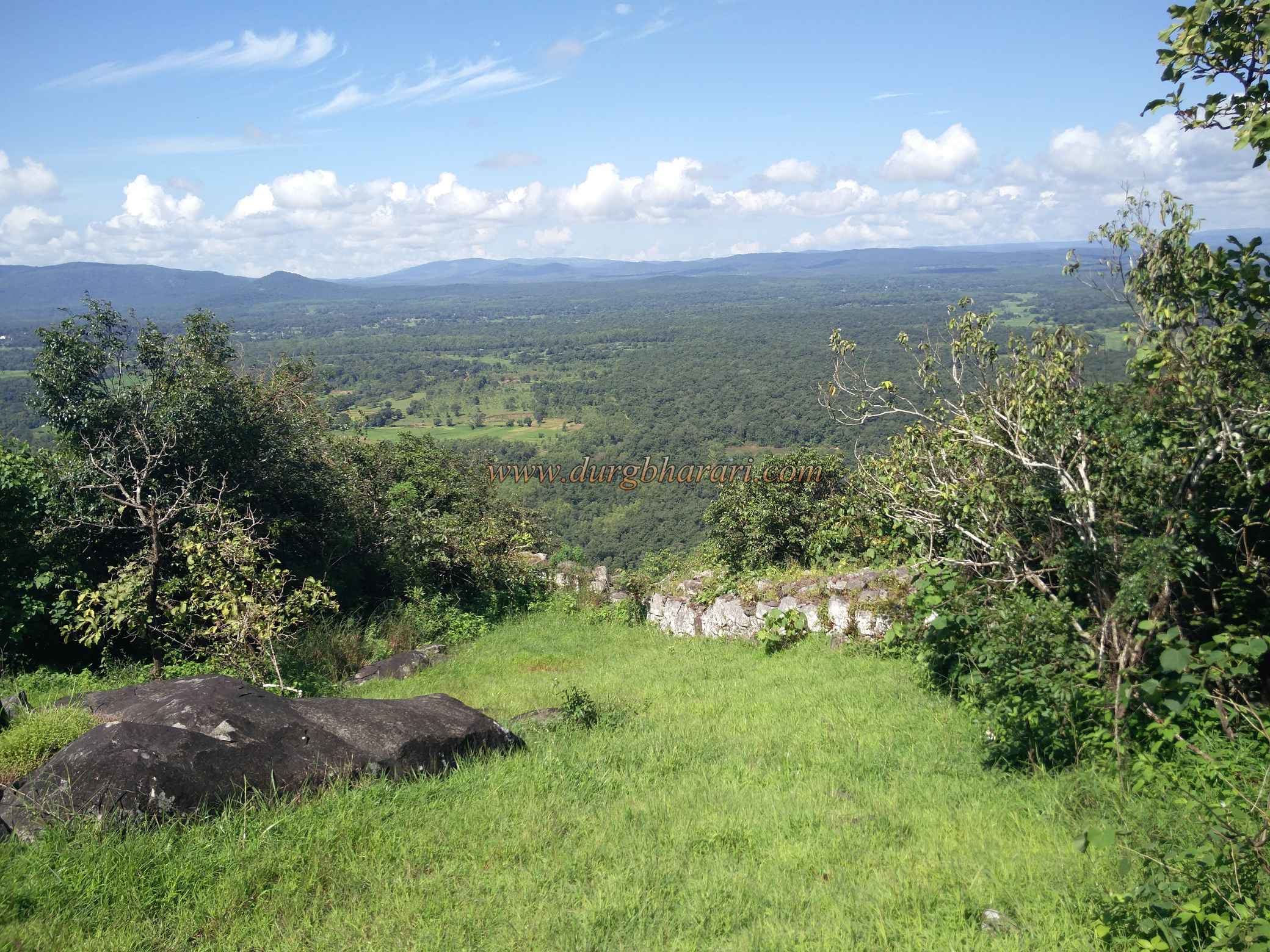
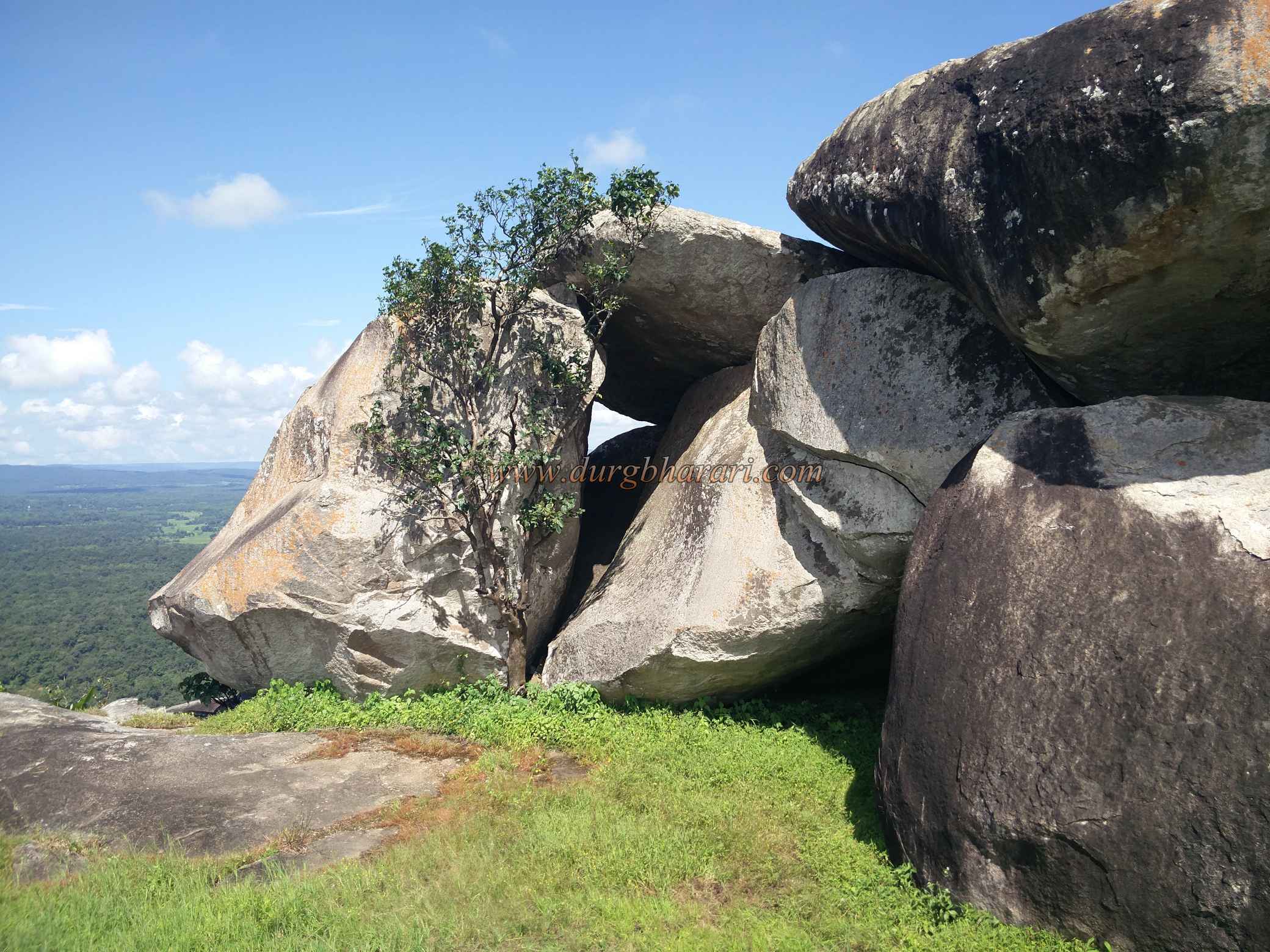
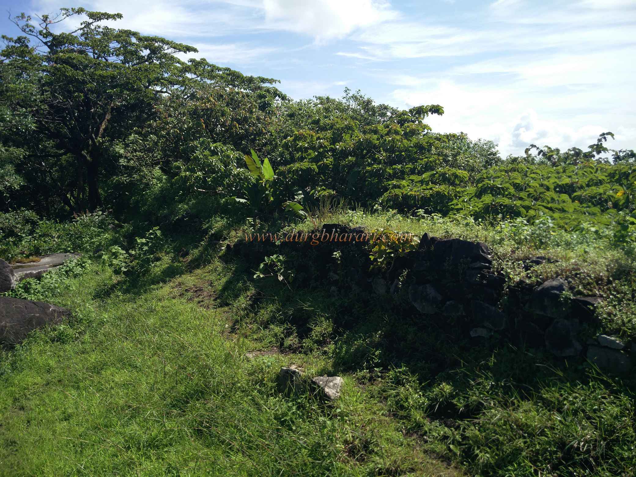
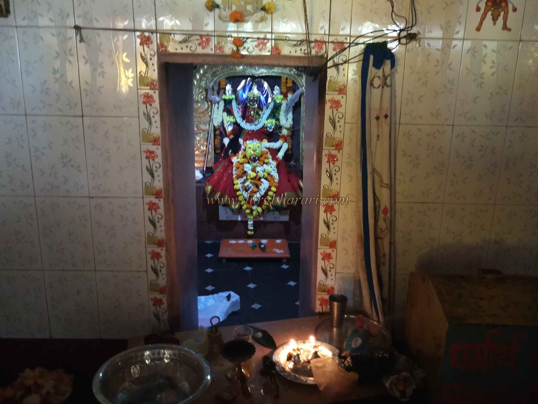
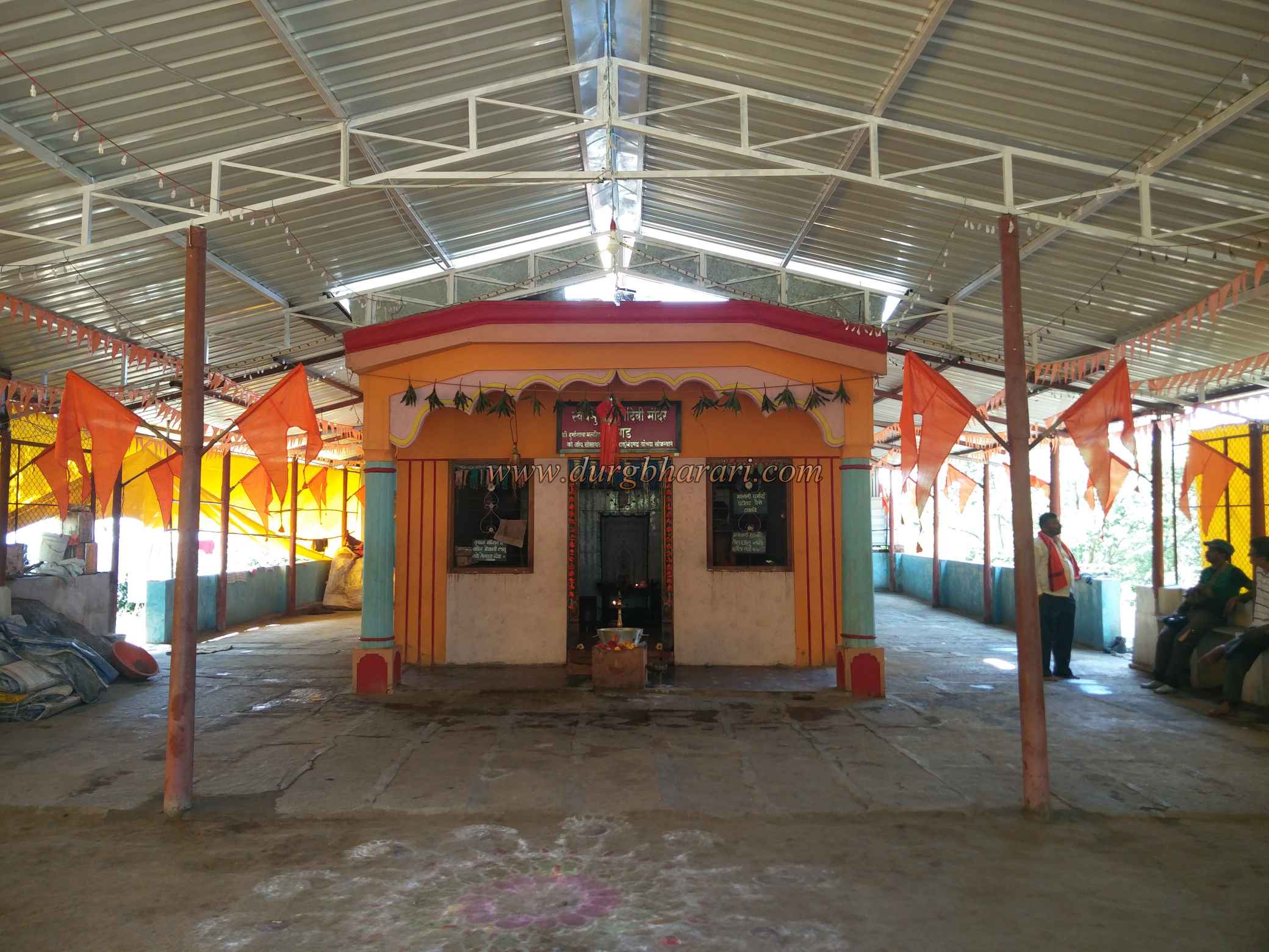
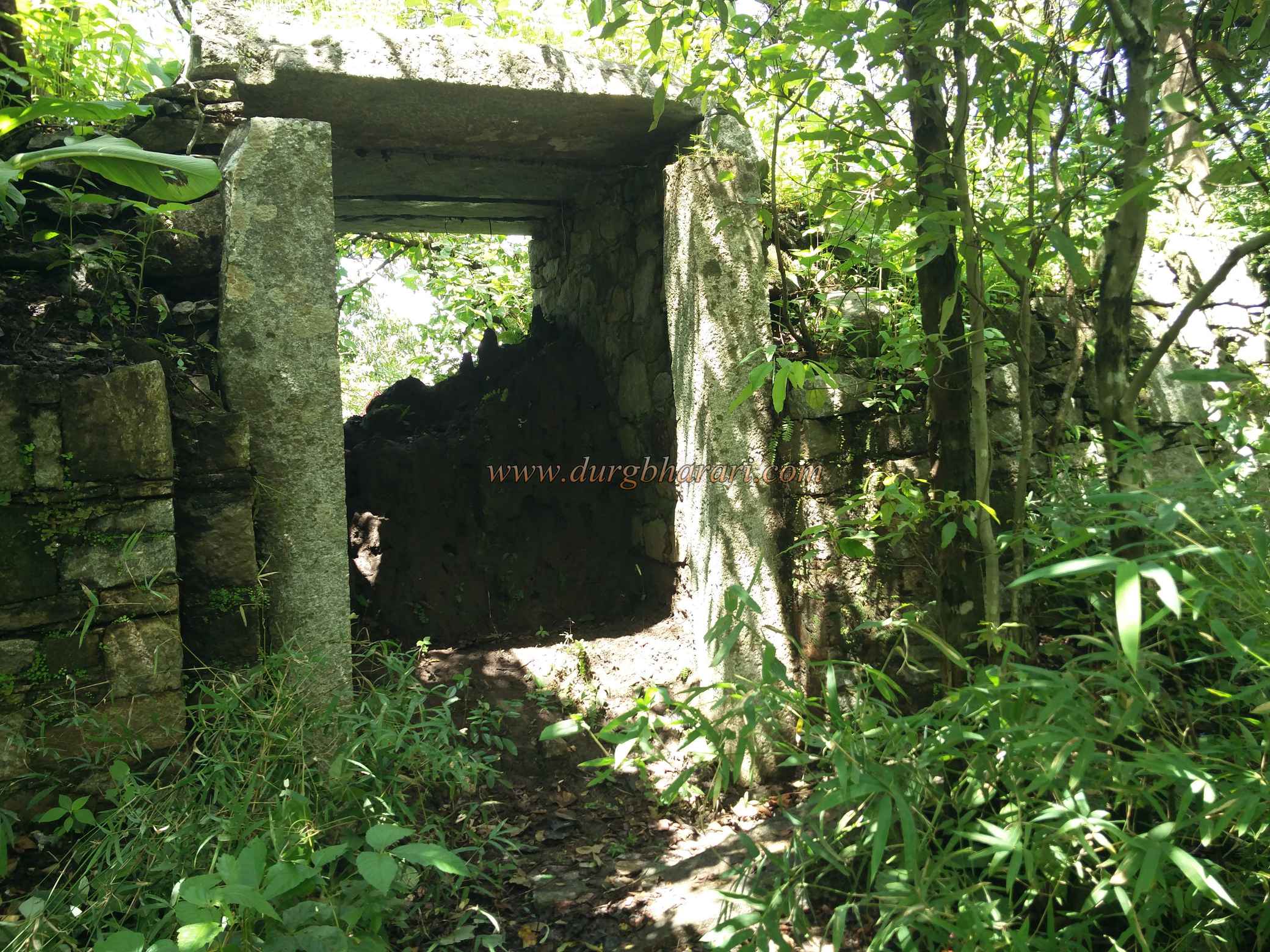
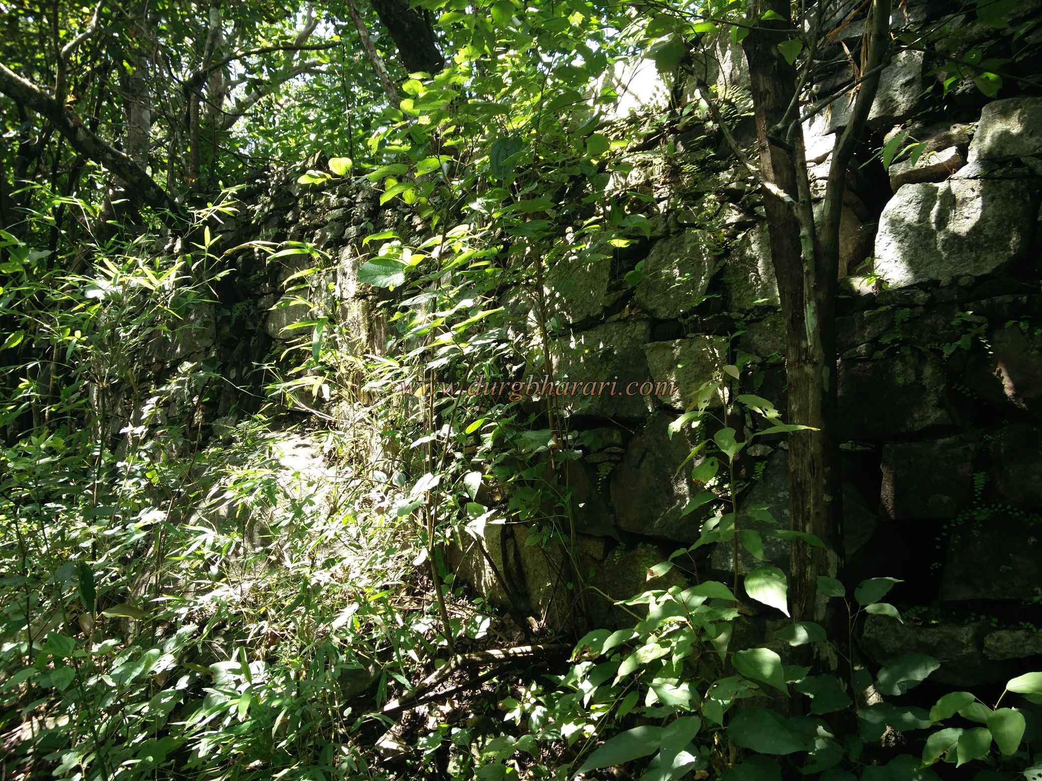
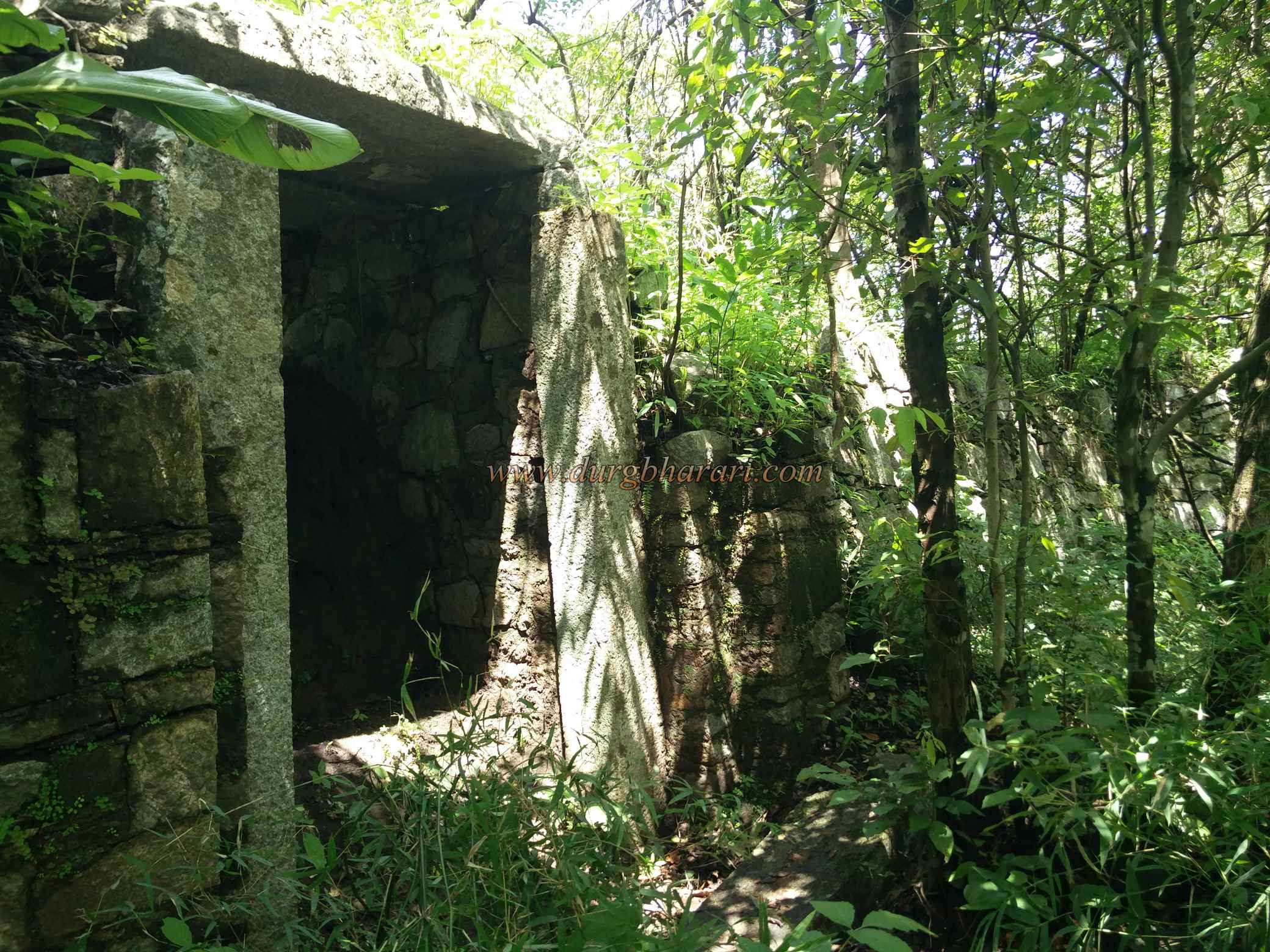
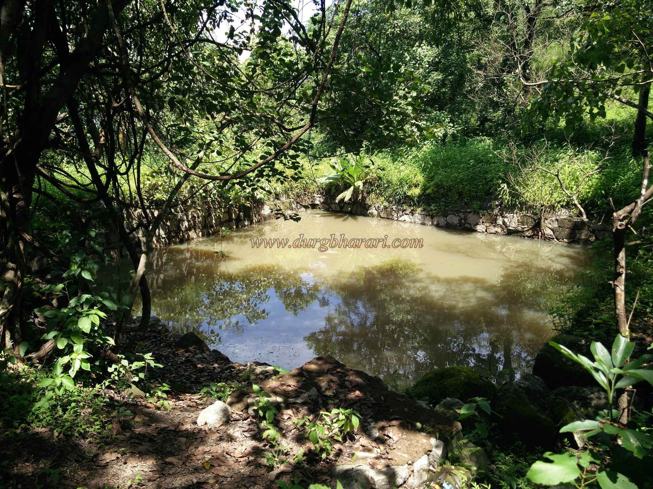
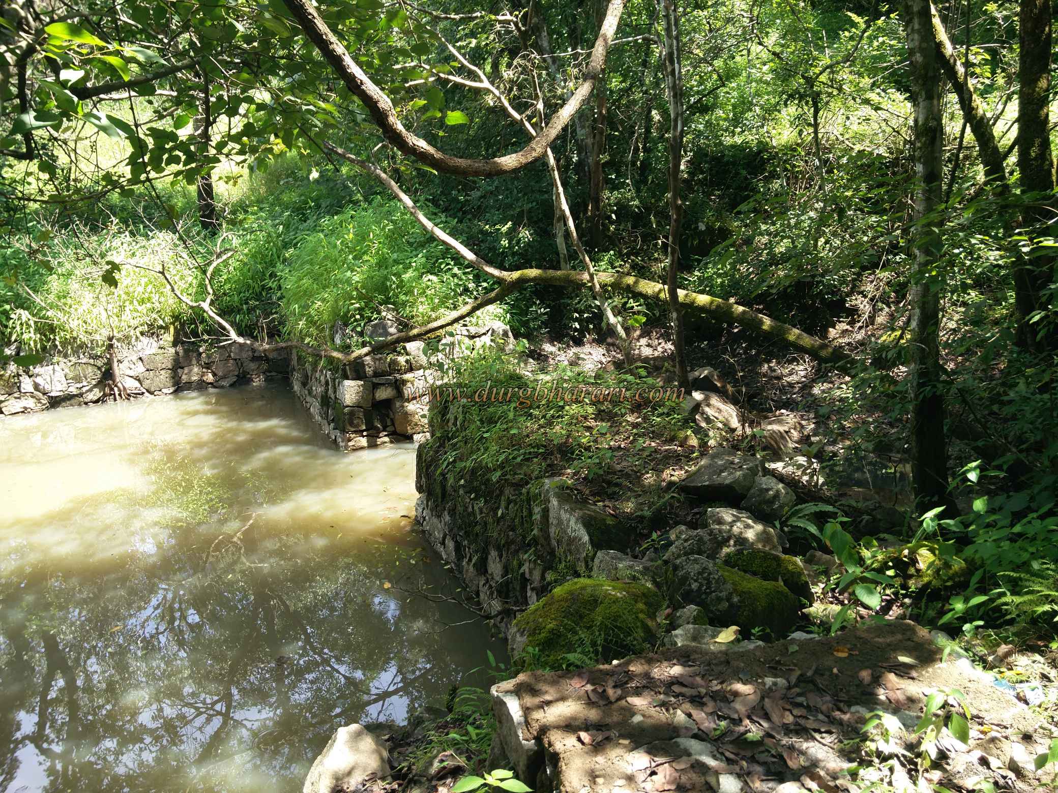
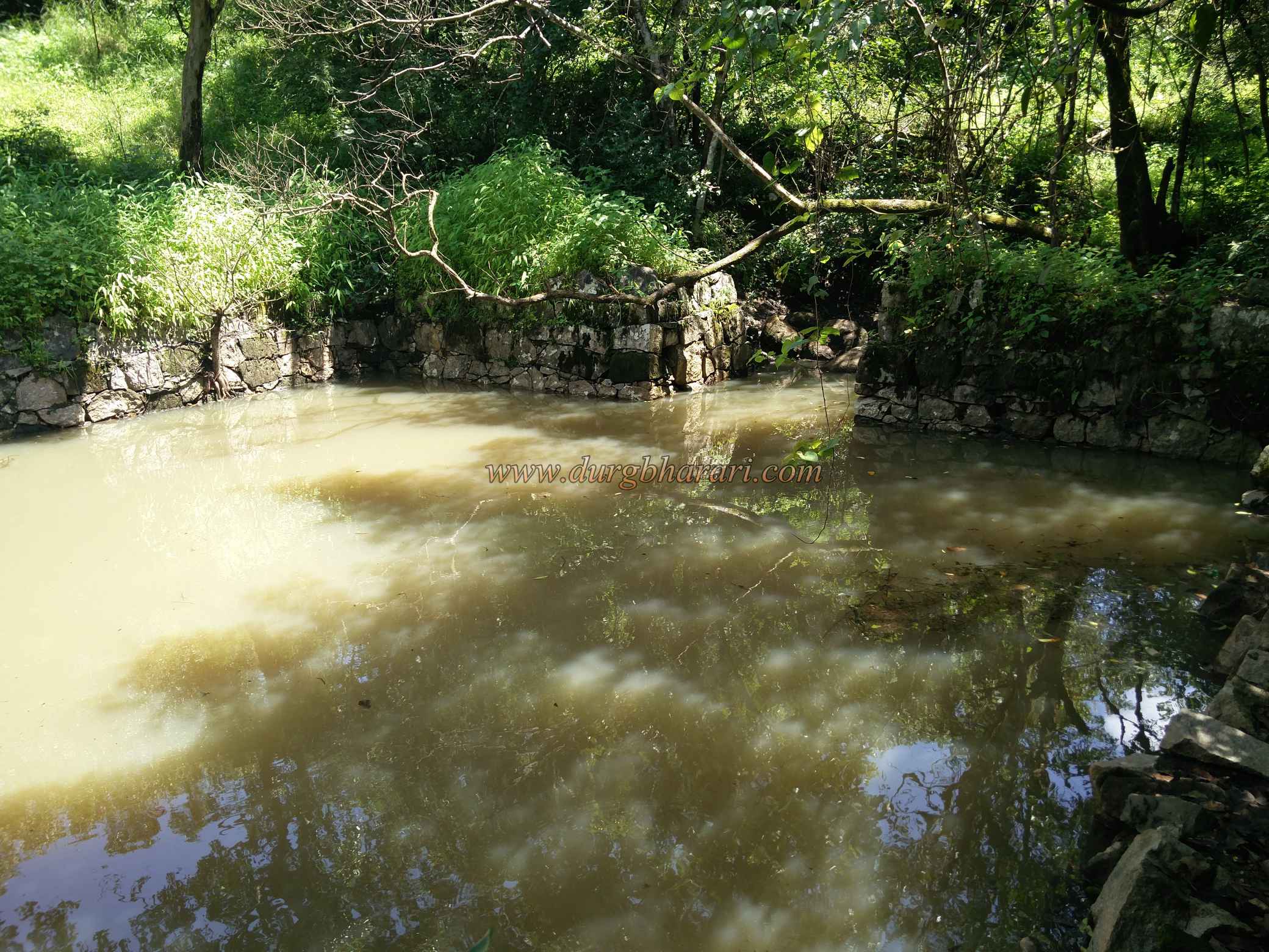
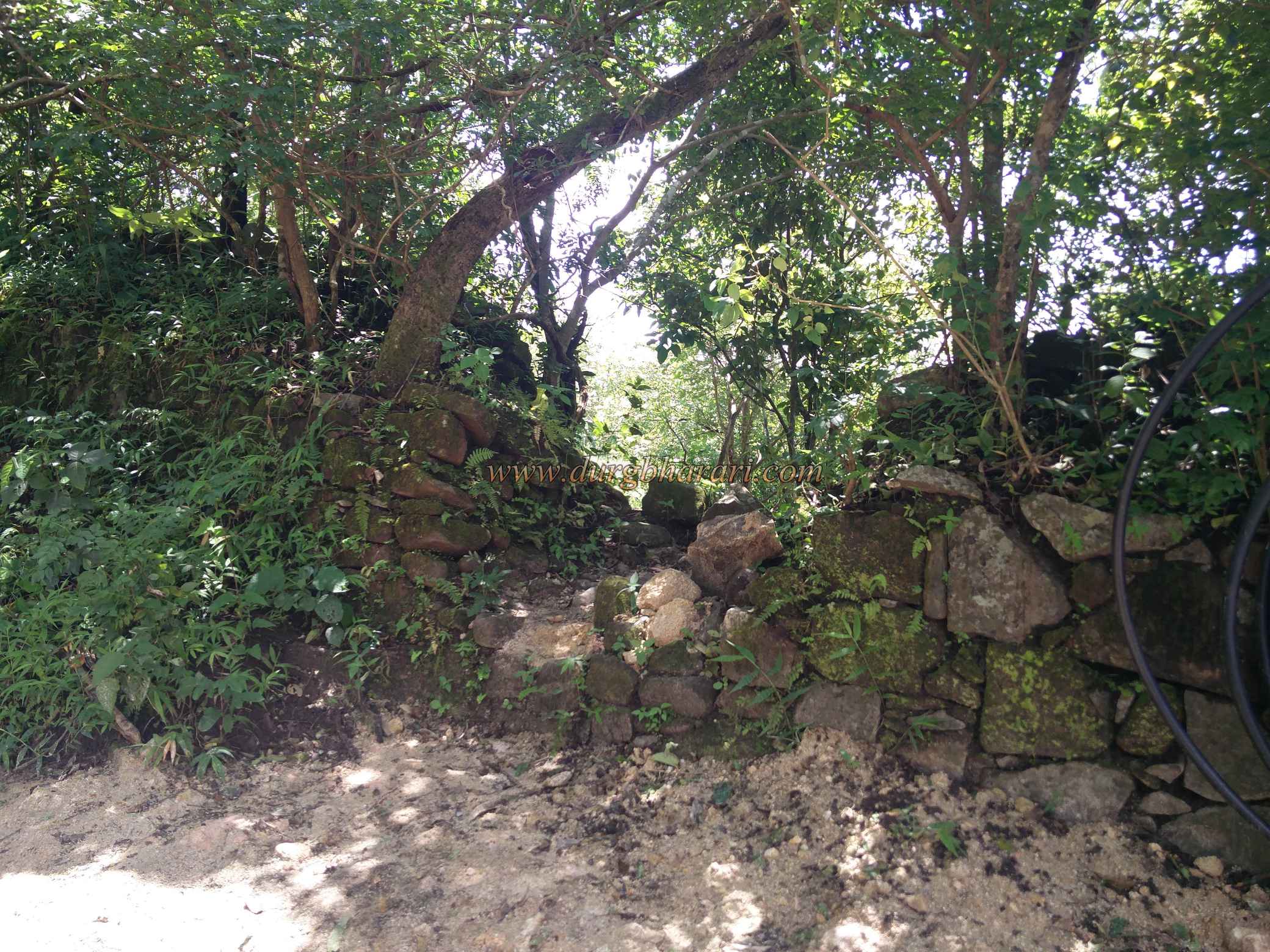
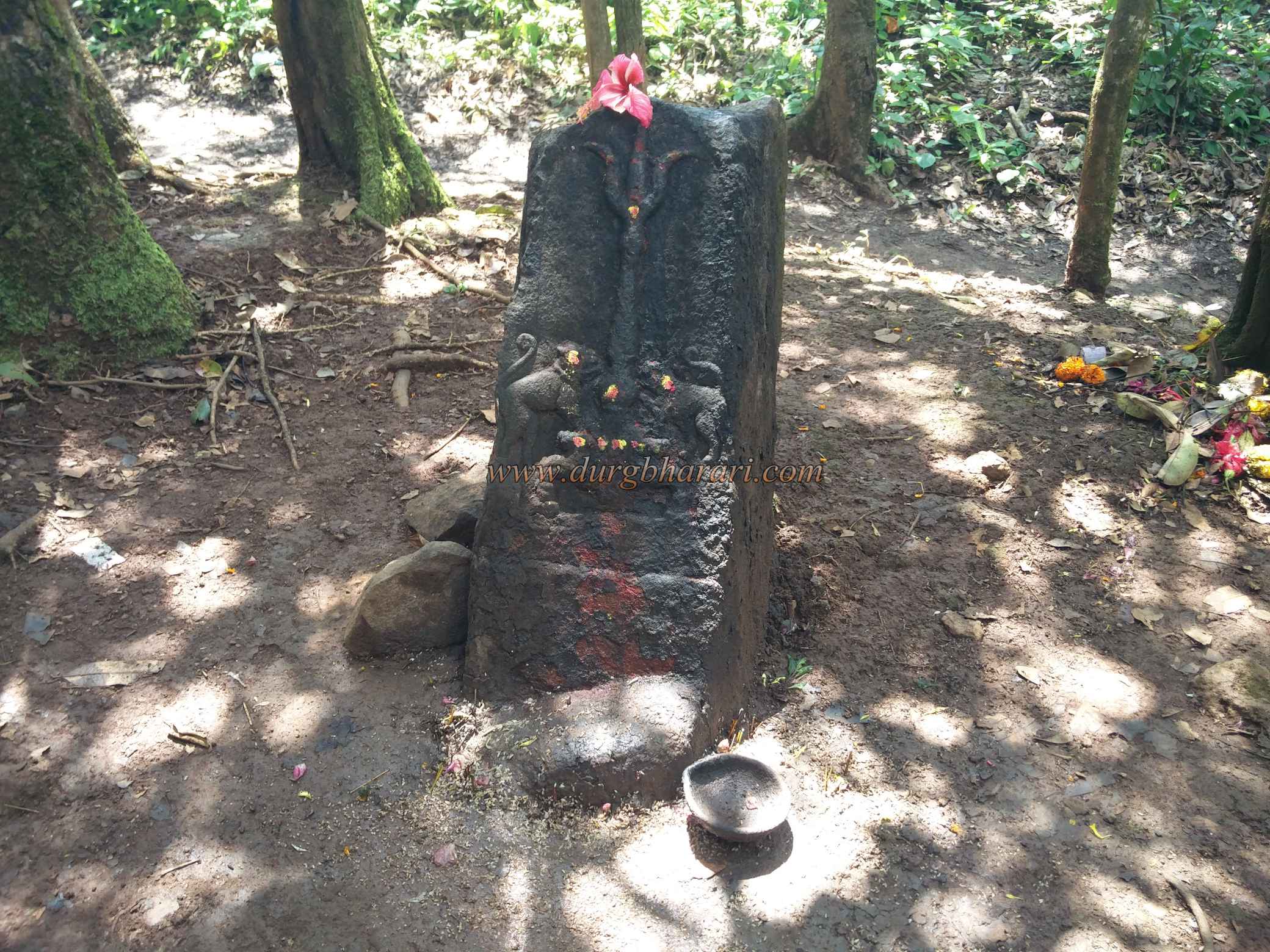
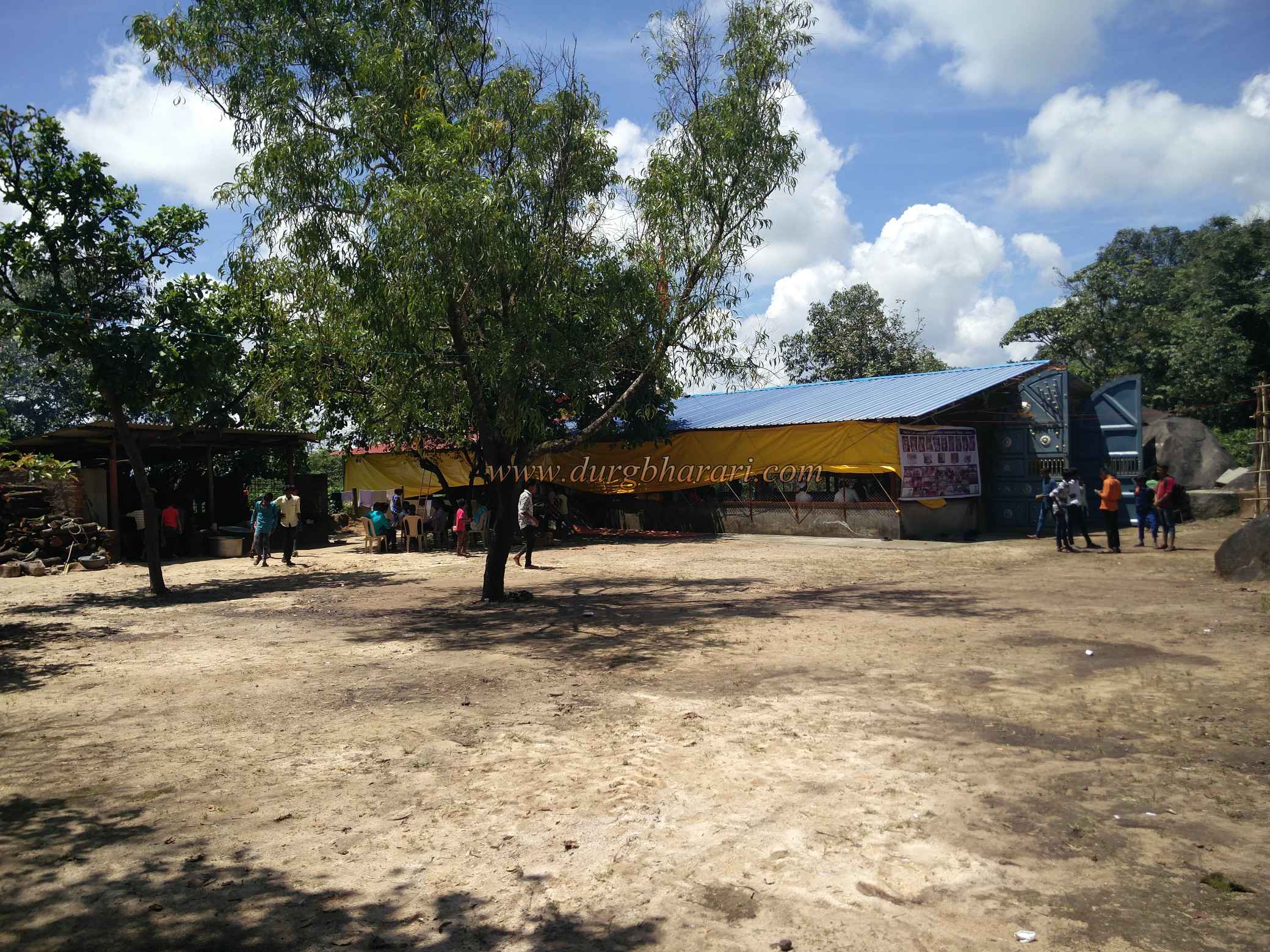
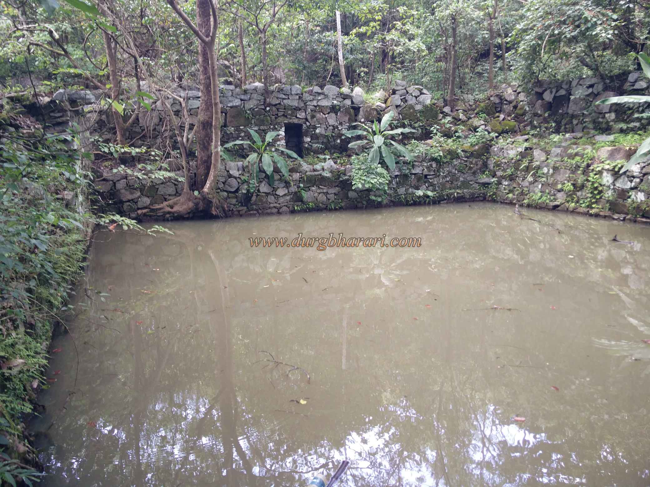
The first fort we visit was Pratapgad aka Nandgad or Anandgad. Located in Khanapur taluka of Belgaum district. this fort is surrounded by forest and it takes four hours to completely see it. Nandgad is a village at the foot of the fort, 11 km from Khanapur taluka. The lake at the foot of the hill is at a distance of 3 km from the village. If you have a private vehicle you can reach this lake by unpaved road, otherwise, it is 3 km from the village to the lake and 5 km from the lake to the fort. You have to cross such a distance of 8 km on foot. Except in the rainy season, if you have an off-road vehicle like a jeep, you can go directly to the fort. On the left side of the lake, the dirt road leads to the top of the fort, crossing the ruined ramparts. The hill of the fort is spread over about 40 acres from north to south and the top of the fort is 2925 feet above the sea level. As the fort is under the control of the forest department, a large number of trees can be seen growing on the fort. Before entering the fort, one can see a large lake near the ramparts. Next, we enter the fort through a broken rampart. To the left of the road, there is the east-facing gate of the fort at some distance but it is accessible from the inside of the fort due to a large number of bushes on the outside. After entering through the broken ramparts, the path on the right leads you to the temple on fort, while the dirt road that leads straight leads to the fort area. At the beginning of this road, there is a footpath on the left. This is the way to start your tour of the fort. Mr. Khemani Patil, who is the caretaker of the temple was our guide on the fort and he showed us the entire fort. At the beginning of the footpath on the right is the west bastion of the fort. This bastion is very huge and can be seen from the bottom of the fort. From here, a distant area to the west of the fort can be seen. Looking at the bastion, you can see the main gate of the fort hidden in the trees on the left. The arch of the door is still standing. After seeing the door and proceeding further you come to the bastion at the south end of the fort from the curtain wall of the fort. The southern end of the fort is the trunk of the fort and the fortifications in this part of the fort are still standing. The bastion at the south end of the fort is built on a large natural rock base and should be the second gate of the fort there. The ramparts facing this bastion from the west are built at some distance without sticking to the bastion. After seeing this part of the fort, you should come to the dirt road at the beginning of the footpath. After walking some distance along this road, you see another step down to the left. When you come down this path, you can see medium-sized tanks carved in the rock. As the water in this tank is yellow, it is known as Sambar Lake. The ramparts at the bottom of the tank have a small sloping door and another water cistern under the ramparts. When the water in the tank inside the fort runs out, the water in the tank from outside should be used and this small door should be designed to go there. After seeing this part, come back on the road and move on. From here the road turns right and leads to the temple, but you have to go straight ahead. On the right side of the footpath, toward a hummock, the remains of square stone construction can be seen. According to the villagers, disputes were settled in this place. In this area, you can see a large number of remnants of stone constructions. After seeing this part, go to the temple of Goddess Durga. The temple has been newly renovated and the idol of Goddess Durga worshiped in the form of a very large stone. The rock is carved with glimpses and is believed to be self-contained. If you want to stay on the fort, you can stay in the hall of the temple as well as have access to drinking water. Adjacent to the ramparts on the eastern side of the temple is a very large bastion. On the way to this bastion, one can see a sculpture carved with a trident and two tigers on a stone pillar measuring 2 x 4 feet. Come to the temple after seeing the tower and rest for a while and start the return journey. On the way back, take the road leading to the north of the fort in front of the temple. This path crosses the collapsed gate on the northern ramparts of the fort and begins to descend the fort. After a 5-minute descent down the road, you can see a large rocky lake built on a slope. On one side of the lake, there is a niche and on the other side, there are big steps to go down. According to the locals, the lake is namely Ghodtale. Arriving at this place, your entire detour is complete. One and a half hours is enough to walk around the entire fort. The muddy footpath coming down from the lake brings you to the raw car road. Known in history as Pratapgad, Nandgad, Anandgad, this fort was important in the Kittur Sansthan. In 1756, the Marathas took over the province of the Nawab of Savanur, but they kept the villages of Kittur and Gokak under the control of the local ruler. Parashuram Bhau Patwardhan of Sangli captured Gokak in 1779 and arrested Desai. In 1785, Tipu conquered Kittur. After being defeated by the Marathas in 1792, this part came back to the Marathas according to the treaty of Srirangapatna. For a few days around 1800, this part was under the control of the Dhondya Vagh of Kolhapur. During the Adilshahi period, the villages of Gijganhalli, Sampagaon, Bidi, Parasgad were part of the Lingayat brothers' patriotic lands of Hirmallappa and Chikkamallappa. This family had the title of Sarja. From Adilshahi to the Maratha Empire, there were twelve Desai in this family for about 239 years. Pratapgad Fort, known as Nandgad was built in 1809 by the Desai of Kittur. To establish Peth Nandgad village under the fort, he gave tax exemption to the people living in this village for nine years. 12th Desai Shivlingarudra Sarja died childless in 1824. His mother Rani Chennamma adopted Shivalingappa and gave him the throne, but Thackeray, the Collector of Dharwad of the British East India Company, did not accept this adoption and confiscated Kittur's Desai. On this, Queen Chennamma revolted against the British. This uprising is known as the Battle of Kittur. In this war, Queen Chennamma herself fought the British on horseback. Thackeray was killed in this battle but on December 2, 1824, Kittur was conquered by the British. Queen Chennamma was captured at the fort of Bailhongal. This brave queen died on 21st February 1829 and the British annexed the Kittur Sansthan. At this time Sangoli Rayanna was the chief commander of Queen Chennamma. Sangoli Ryanna also revolted once again in 1829 holding the adopted child. Sangoli Rayanna raised an army from the common people and with their help fought well with the British. Eventually, the British captured Sangoli Rayanna by betrayal. Sangoli Rayanna was hanged on 26th January 1831 at Nandgad. Rayanna's Samadhi is at Nandgad.
© Suresh Nimbalkar
Gallery