AJMERA
TYPE : HILL FORT
DISTRICT : NASHIK
HEIGHT : 2645 FEET
GRADE : MEDIUM
Satana taluka in Nashik district was formerly known as Baglan. Even today, many people refer to this area as Baglan. Large forts like Salher-Salota are situated in this orchard while small and unfamiliar forts like Karha-Dundha-Bishta-Ajmera are situated on the Dundheshwar mountain range. This remote area has very little transportation. Therefore, if you use a private vehicle while traveling in this area, these four forts can be easily seen in two days. Ajmera is one such unfamiliar fort in this region. Ajmer Saundane village at the foot of the fort is at a distance of 98 km from Nashik and at a distance of 10 km from Satana taluka. To reach the fort, first, we have to reach Pahadeshwar temple which is located at the foot of the fort at a distance of 4 km from Ajmer Saundane village.
...
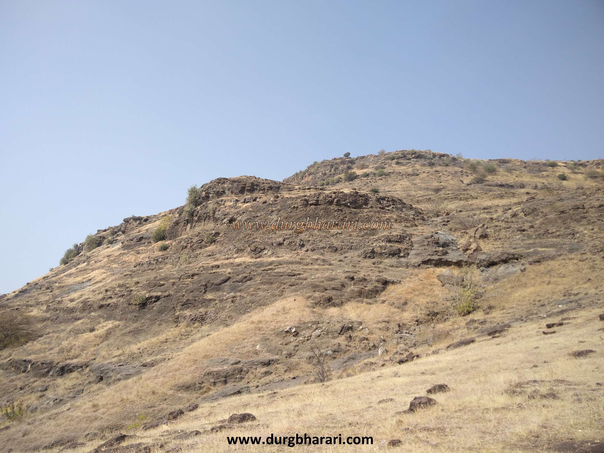
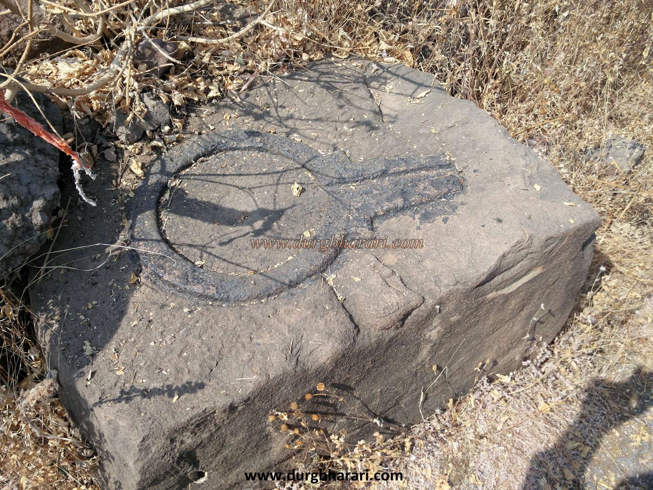
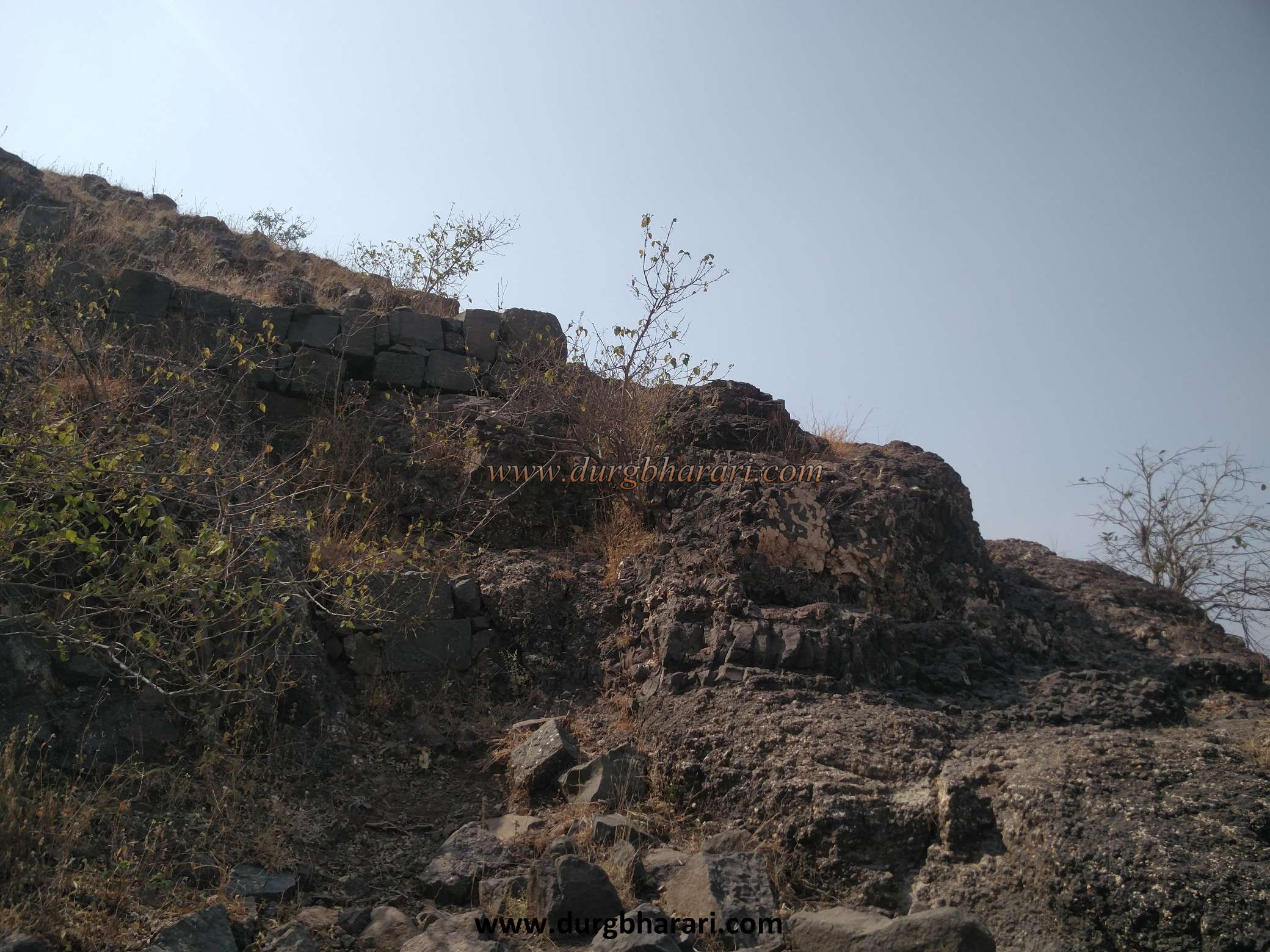
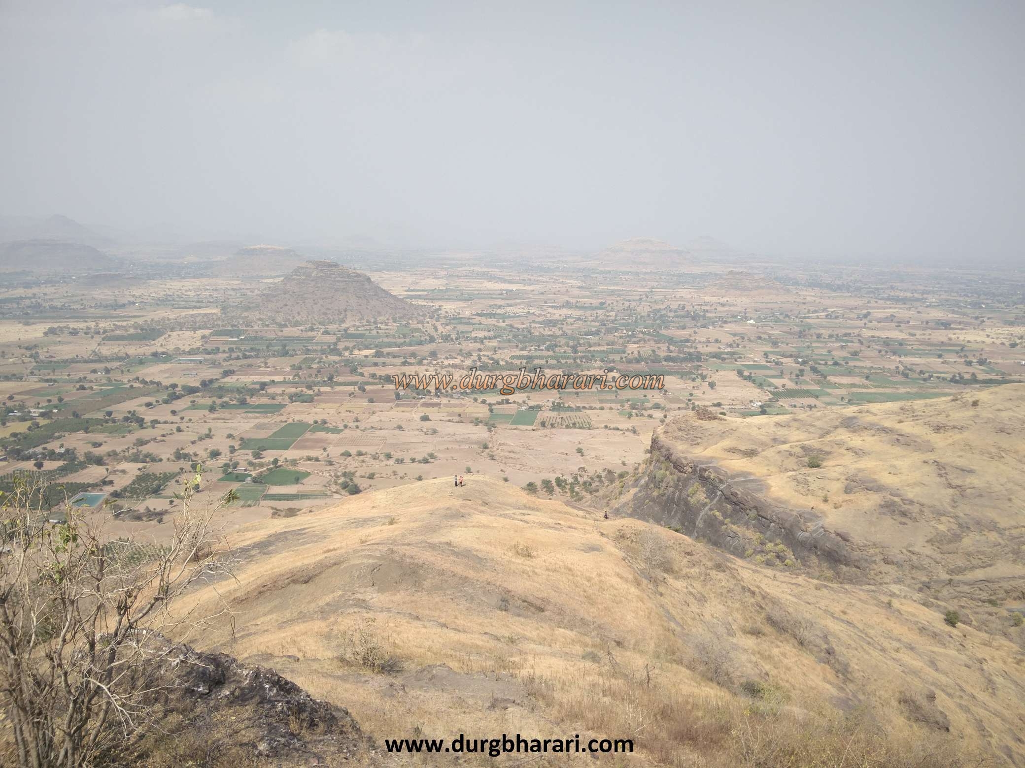
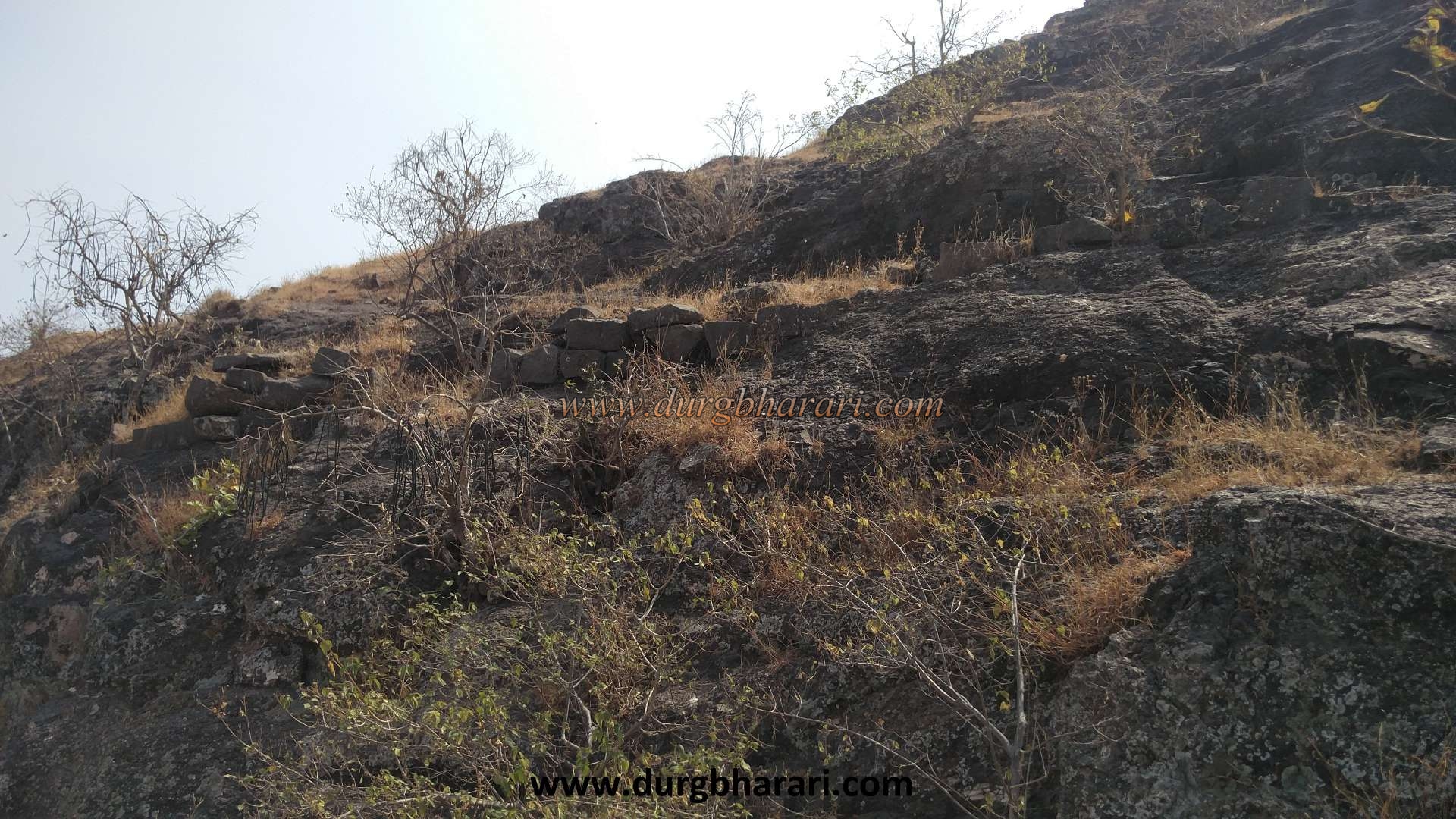
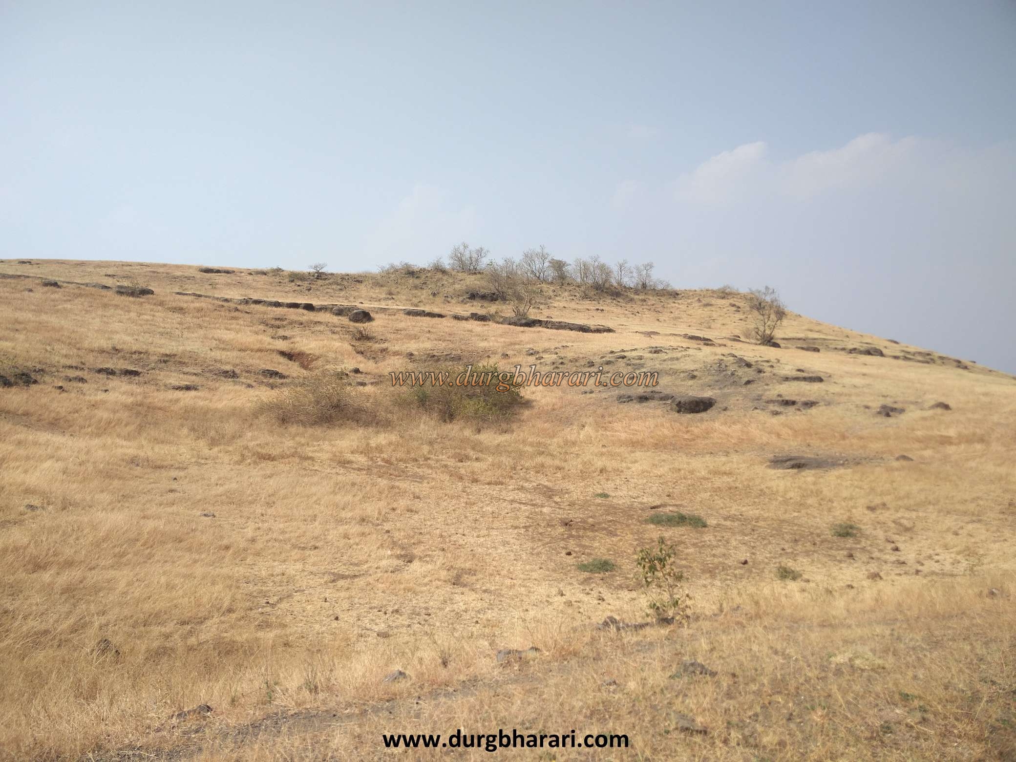
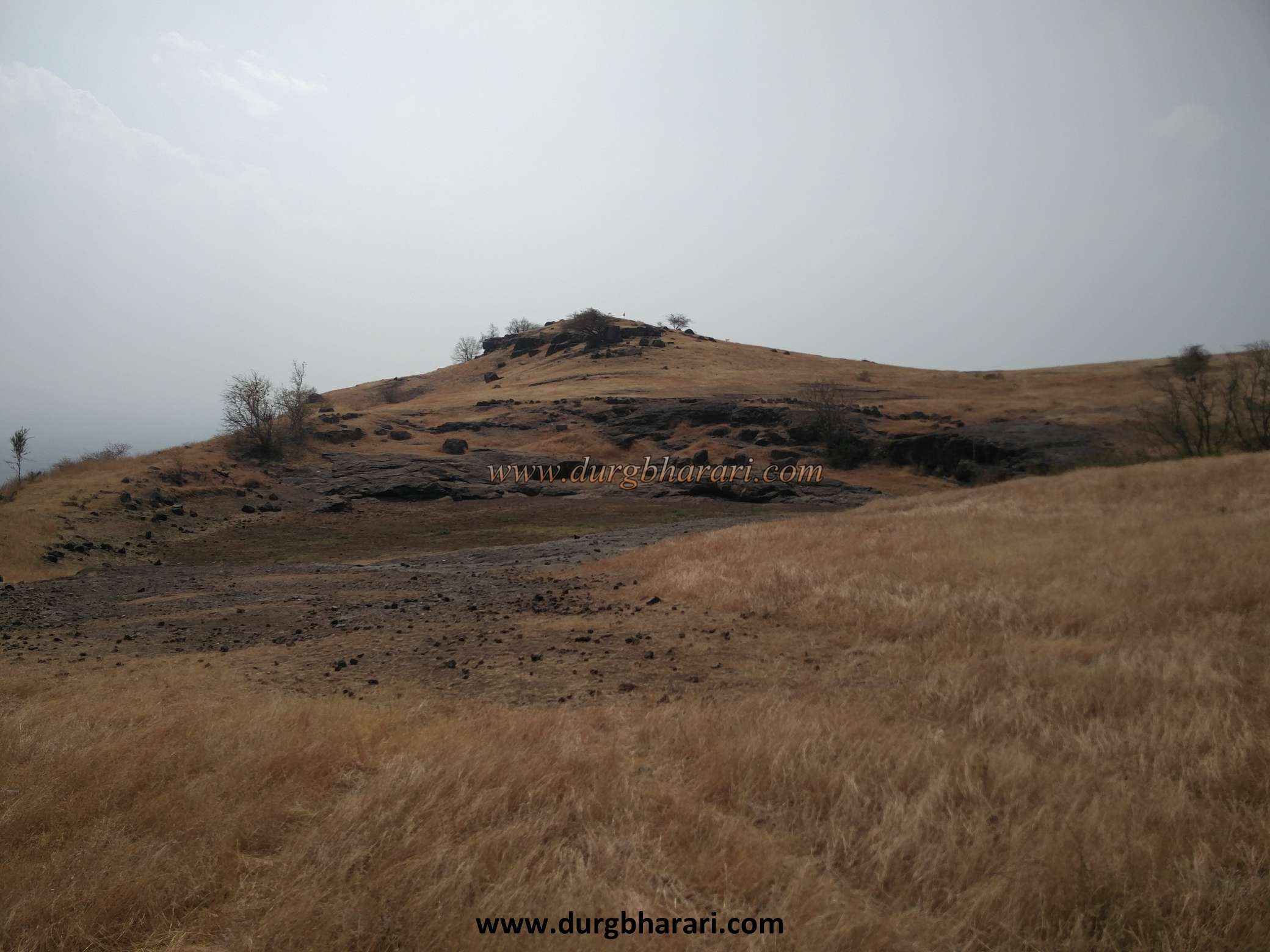
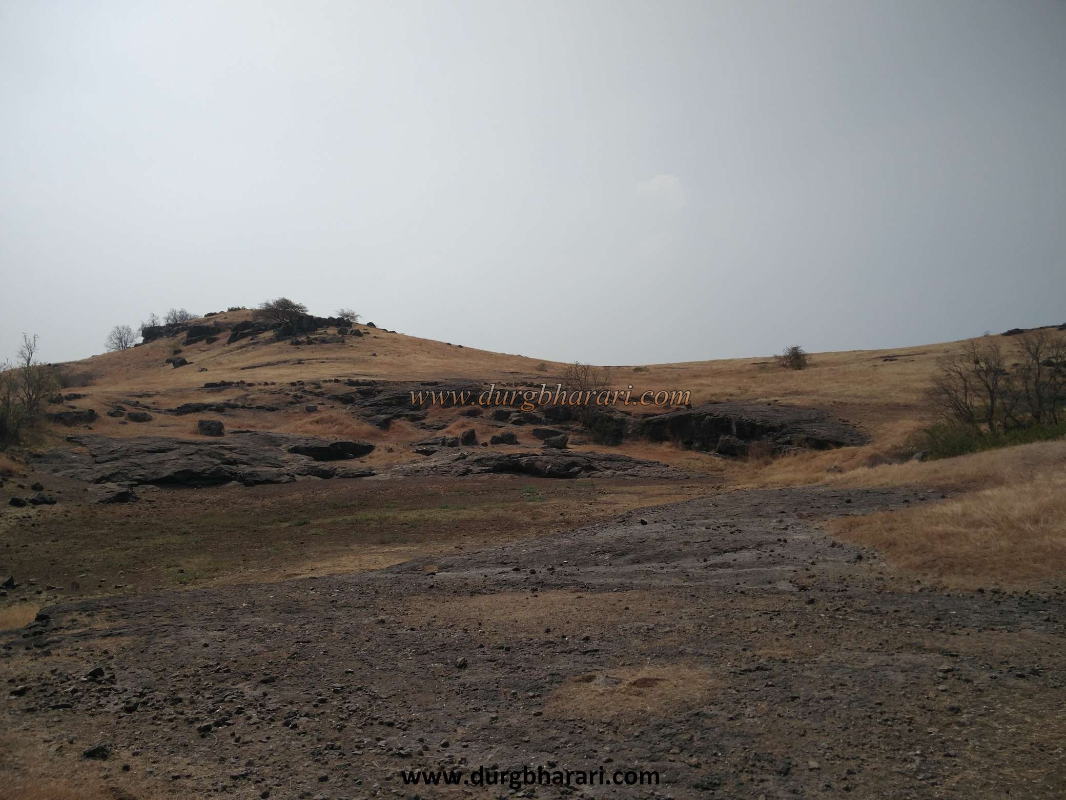
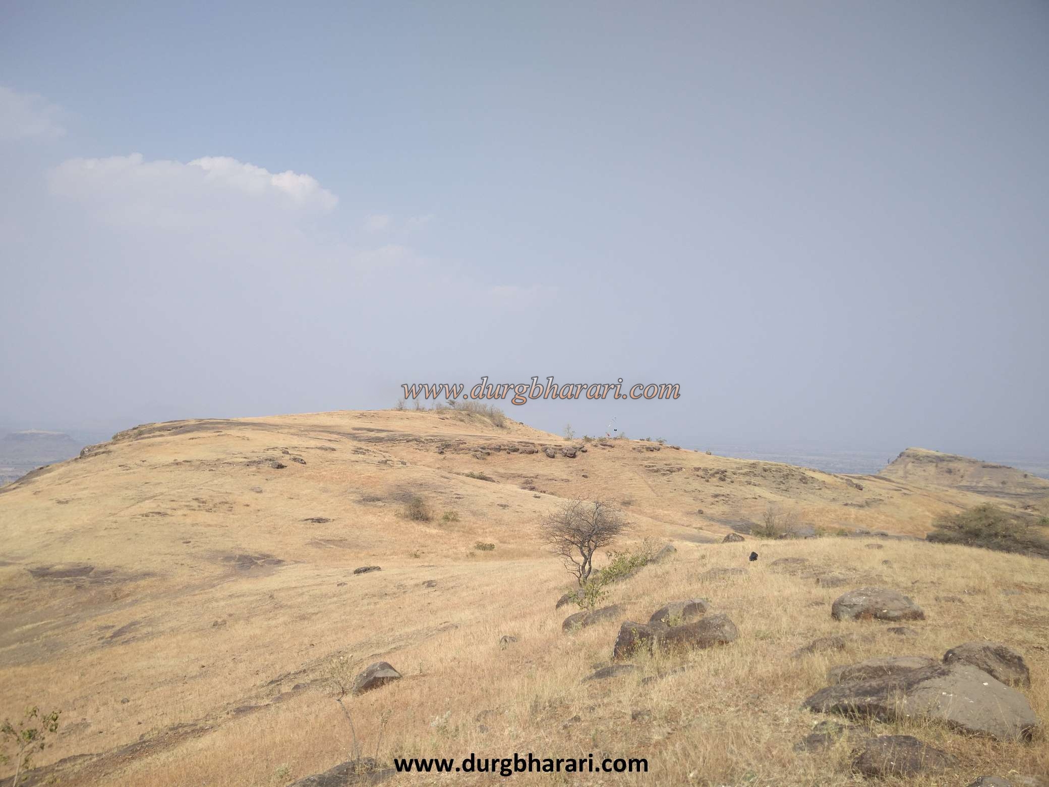
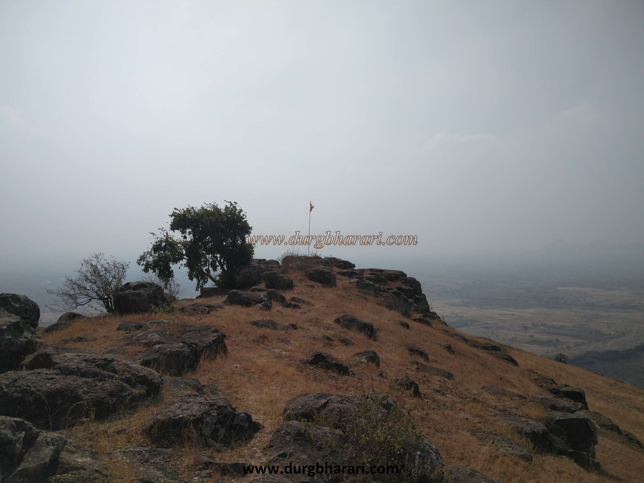
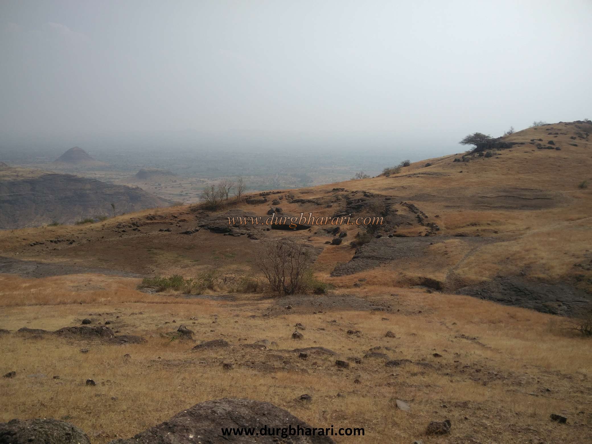
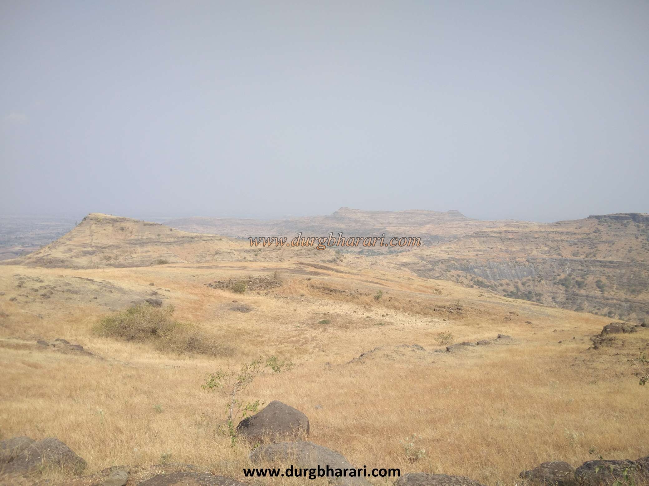
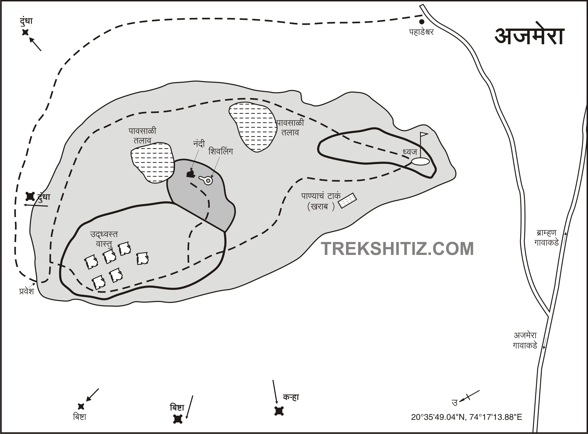
If you have a private vehicle, you don't have to cross this distance on foot. The Pahadeshwar Temple and its surroundings are very beautiful. If you want to go to the fort, you can stay in this temple, but you have to arrange the food yourself. After visiting Pahadeshwar and since there is no water facility on the fort, one should take water from here and go to the fort. If possible, try to have a guide with you to Ajmera Fort as there is no fixed route to go to the fort. The path to the fort starts from the hill trunk adjacent to the Pahadeshwar temple. There are two slippery places on this road. Half an hour on this road we reach the stage like a plateau. There is a Shivling carved on a stone on the way. There is a hill in front of this fort and its half-height, there is a cave and in this cave is Dongardev of tribals. This path can be seen going forward, but without going through this path, you should turn towards the path which also has a footpath on the top of the hill. On the left side is the hill of Ajmera fort and on the right side is the hill of Dongardev. In this way, we reach the ruined gate of the fort in about half an hour. The gate of the fort does not exist today, but on the right side of the place, you can see the ruined round bastion and the ramparts. After entering the fort from here and going a little further, you can see the fortified head of the fort. It is a semi-circular head spread over 10 acres from north to south and is 2615 feet above sea level. In front of the fort from where you entered, you can see the saffron flag hoisted at the top. This is the flag we saw from below the fort. When you start walking towards the flag, you will see a hill on the right side where there are ruins of a big palace and a courtyard. On the left side, there is a rain harvesting lake. Going further along this path, there is a Shivling and Nandi in the open on the right side. After visiting Shivling, there is another dry lake on the right side. As you walk along the lake, you will see two water tanks on the left. One of them is full of mud and the other is full of water but the water is not drinkable. After seeing the tanks, you should reach the flag on the hilltop at the end of the fort. This is where your fort round ends. As the top of Ajmera fort is small, it takes half an hour to see the fort but it takes one and a half hours to reach the fort from the base. Salher, Salota, Mulher, Moragad, Ratangad, Tambolya, Mangi-Tungi conicals, Bishta, Dermal, Pisol, Karha, and Dundhagad can be seen from the top. Judging by the size and structure of these forts, it seems that there must have been very few garrisons stayed on this fort. As the hill of the fort stands apart, a large area can be seen from this fort, so these forts must have been used as a watchtower for observation. The history of this fort is unknown. In the year 1985, the Vainataya Giryarohan-Giribhraman organization in Nashik brought to the notice of the people many such forts based on their travels and documents and in a search operation determined the location of Ajmera fort. 5 km from Ajmer fort there is an ancient Shiva temple in Deolane village. This temple and the sculptures on it are worth visiting.
© Suresh Nimbalkar
Gallery